The best MTB trails around Pancalieri
4.5
(230)
803
riders
61
rides
Mountain biking around Pancalieri offers a network of trails primarily characterized by flat to gently rolling terrain. The landscape features river valleys, such as those near the Pellice, and agricultural areas, providing a mix of natural and rural scenery. Elevation gains are generally low, with the highest points qualifying as hills rather than mountains. The region's trails often connect small towns and historic centers, offering varied riding experiences.
Best mountain bike trails around Pancalieri
- The most popular mountain bike trail…
Last updated: July 1, 2026
4.3
(4)
11
riders
36.4km
02:21
70m
70m
Moderate mountain bike ride. Good fitness required. Advanced riding skills necessary.
10
riders
68.4km
04:26
110m
110m
Moderate mountain bike ride. Good fitness required. Suitable for all skill levels.

Sign up for free
3.8
(4)
7
riders
30.0km
01:49
70m
70m
Easy mountain bike ride. Great for any fitness level. Suitable for all skill levels.
9
riders
34.8km
02:02
190m
190m
Hard mountain bike ride. Good fitness required. Advanced riding skills necessary. Some portions of the route may require you to push your bike.
3.0
(2)
13
riders
24.6km
01:25
50m
50m
Easy mountain bike ride. Great for any fitness level. Suitable for all skill levels.
Get access to more routes and recommendations from other explorers.
Sign up for free
Already have an account?
Our route recommendations are based on thousands of hikes, rides, and runs completed by other people on komoot.
Start today with a free account
Your next adventure awaits.
Login or Signup
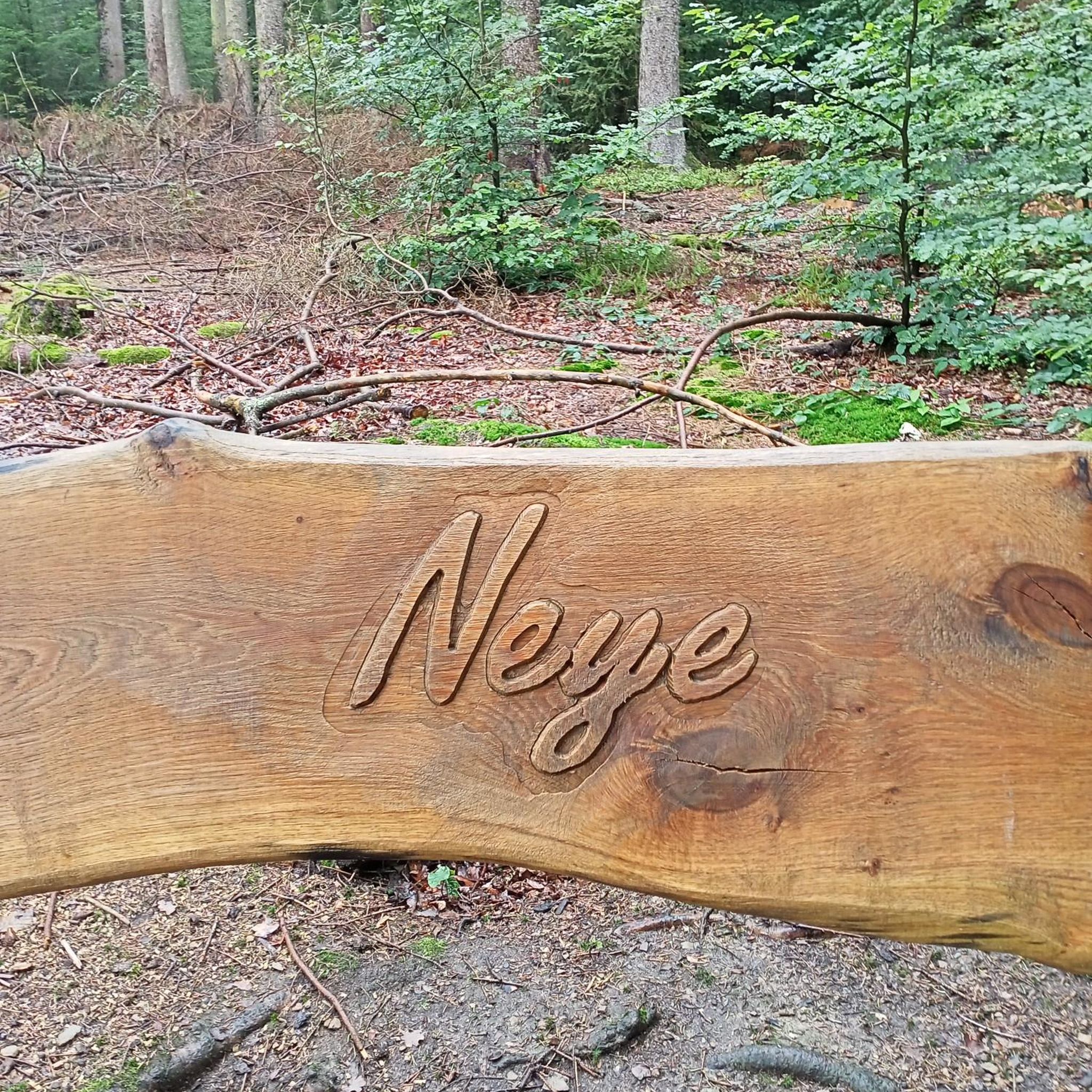
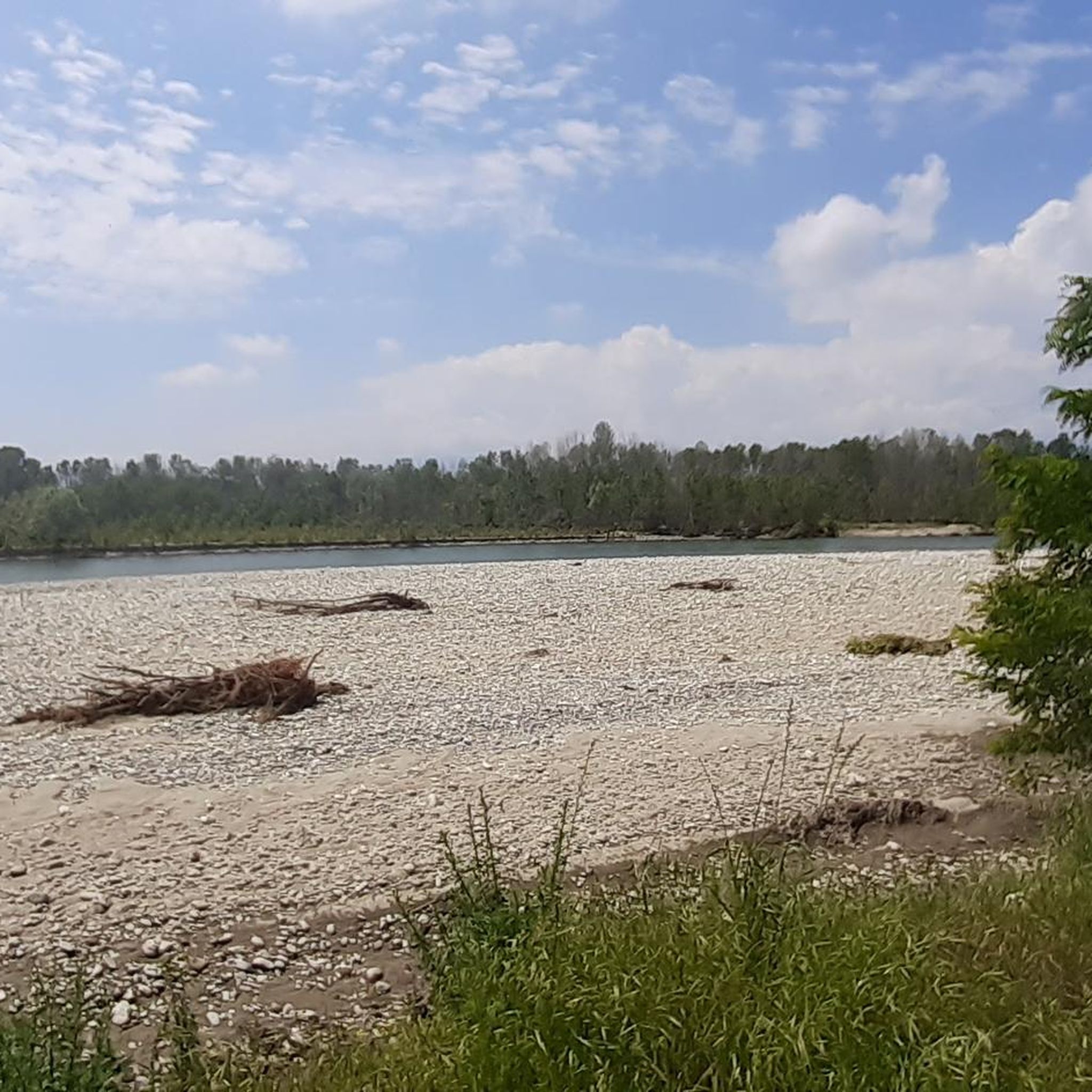

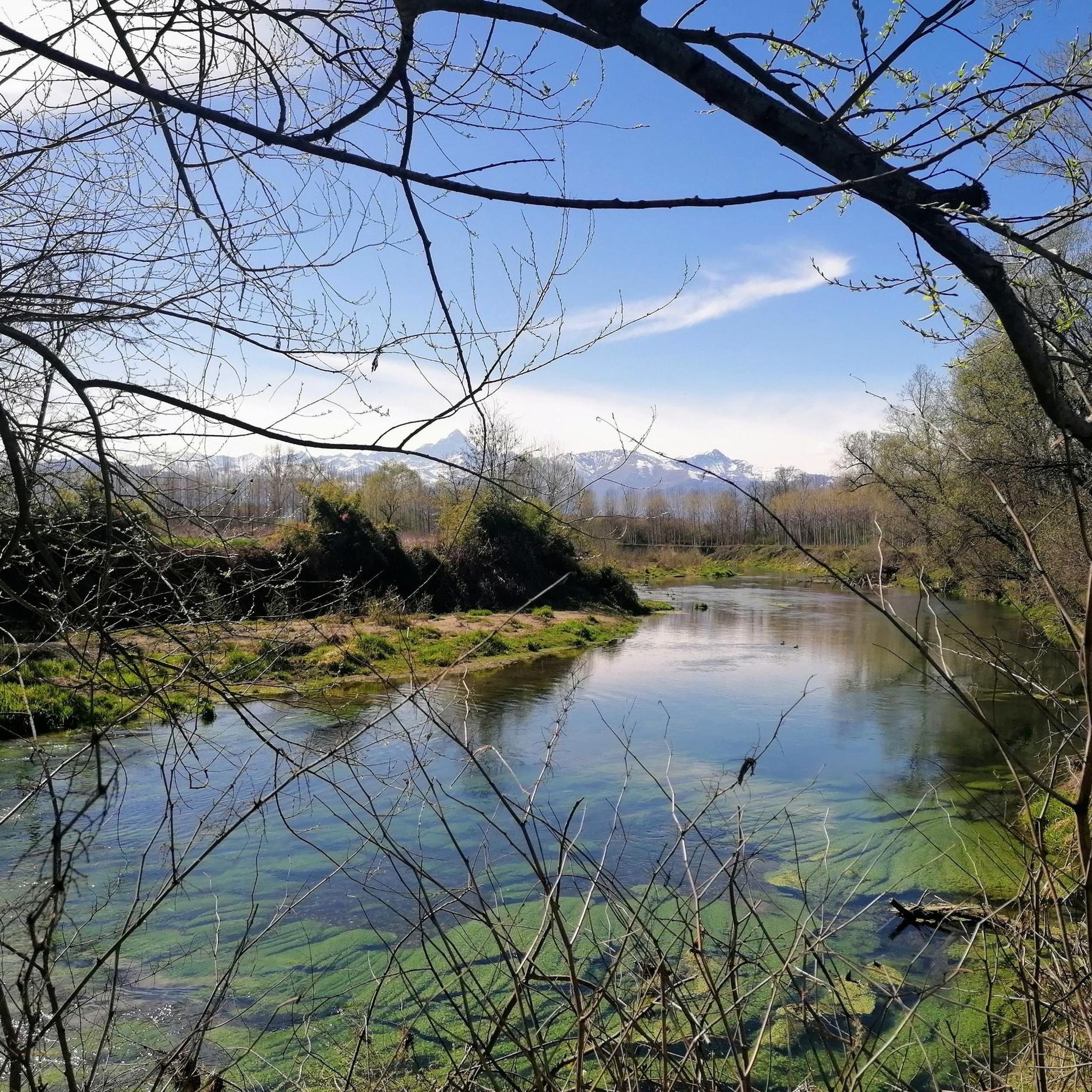
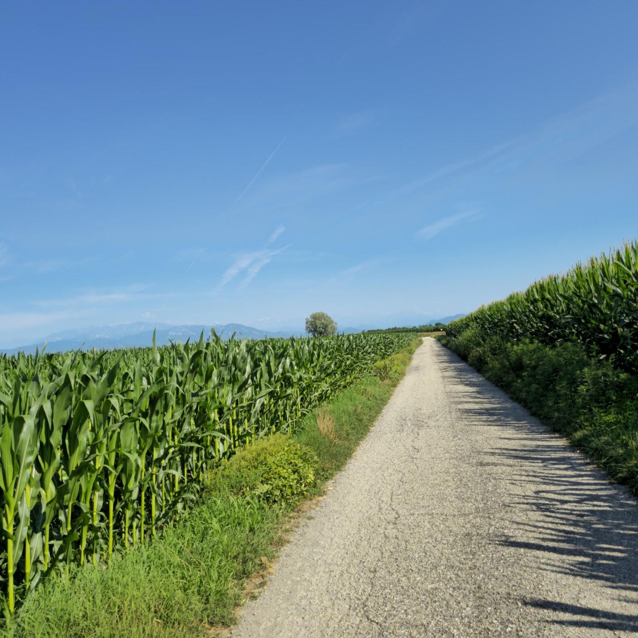
Tips from the Community

Beautiful country, with a historic center enclosed in a handkerchief but rich in points of interest. Not to be missed are the civic tower, the old church of the Confraternity, the narrow streets that connect the tower and the church, and the mural on the wall of the school opposite the town hall.
0
0
Beautiful dirt road that connects Scalenghe / Pieve di Scalenghe to None. Easy, suitable for any bike, it passes through wonderful countryside.
0
0


On clear days the panorama is very beautiful, with views reaching as far as the skyscraper of the region in Turin and Superga, as well as the peaks of the surrounding mountains. Recommended!!!
0
0

Slightly descending from the path, you can get there, great in summer
0
0
Thanks for these little bridges, without those who fixed them, the tour wouldn't be possible. THANKS
0
0

convenience of being close to Turin easily reachable by bicycle yesterday in the woods 3 deer crossed my path
0
0
A rural chapel just outside None. From there, a lovely dirt road leads to Pieve di Scalenghe, ideal for gravel riding.
0
0
Frequently Asked Questions
How many mountain bike trails are available around Pancalieri?
There are over 50 mountain bike trails around Pancalieri, offering a variety of experiences. The region features a network of paths primarily characterized by flat to gently rolling terrain, with low elevation gains.
Are there easy mountain bike trails suitable for beginners in Pancalieri?
Yes, Pancalieri offers a good selection of easy mountain bike trails. Out of the 56 available routes, 22 are classified as easy. An example is the Historic Center of Carignano loop from Pancalieri, an 18.6-mile (30 km) trail that takes about 1 hour 49 minutes to complete.
What is the typical elevation gain on mountain bike trails in Pancalieri?
Mountain bike trails in Pancalieri generally feature low elevation gains, as the landscape is characterized by flat to gently rolling terrain. For example, the Pellice Single Track – ST Pellice loop from Vigone, a 26.5-mile (42.6 km) moderate route, has an elevation gain of approximately 140 meters.
Are there any family-friendly mountain bike routes in the Pancalieri area?
Many of the easy and moderate trails around Pancalieri are suitable for families, given the generally flat and gently rolling terrain. Routes that connect small towns and agricultural areas often provide a pleasant experience for all skill levels. Consider exploring some of the 22 easy routes available.
What kind of scenery can I expect on mountain bike trails around Pancalieri?
The scenery around Pancalieri is diverse, featuring river valleys, such as those near the Pellice, and extensive agricultural areas. Trails often connect small towns and historic centers, providing a mix of natural and rural landscapes. You'll find paths along rivers and through fields, offering varied views.
What are some interesting landmarks or attractions I can see near the mountain bike trails?
While mountain biking, you can explore several interesting landmarks. For natural beauty, consider visiting the Bosco del Merlino or the Lanca di San Michele and Bosco del Gerbasso Nature Reserve. For historical sites, the Racconigi Royal Castle is a notable attraction, and the Historic Center of Cavallerleone offers a glimpse into local heritage.
Are there any long-distance mountain bike loops around Pancalieri?
Yes, there are several longer loop trails. For instance, the Zucchea Ford – Staffarda Abbey loop from Vigone is a moderate 39.9-mile (64.2 km) route that takes approximately 3 hours 55 minutes to complete, offering a substantial ride through the region.
What do other mountain bikers say about the trails in Pancalieri?
The trails in Pancalieri are highly rated by the komoot community, with an average score of 4.47 stars from over 200 reviews. Mountain bikers often praise the varied terrain, which includes riverine paths and agricultural fields, and the well-connected routes that lead to local towns and historic centers.
What is the best time of year for mountain biking in Pancalieri?
Given the region's generally low elevation and flat to gently rolling terrain, mountain biking in Pancalieri is enjoyable for much of the year. Spring and autumn offer pleasant temperatures and vibrant scenery. Summer can also be suitable, especially for early morning or late afternoon rides, while winter conditions are generally mild, though some paths might be muddy after rain.
Are there any advanced or difficult mountain bike trails in Pancalieri?
While the region is primarily known for its flat to gently rolling terrain, there are a few more challenging options. Out of the 56 available routes, 4 are classified as difficult. These routes may feature slightly more technical sections or longer distances, providing a greater challenge for experienced riders.
Are there any mountain bike trails that pass through historic centers?
Yes, many routes in Pancalieri connect to local towns and historic centers. The Historic Center of Carignano loop from Pancalieri is a prime example, leading you through rural landscapes and the historic heart of Carignano, offering a cultural element to your ride.
Where can I find parking for mountain biking near Pancalieri?
Parking availability varies by trailhead. Many routes start from or pass through towns like Pancalieri, Vigone, or Polonghera, where public parking is generally available. It's advisable to check the specific route details on komoot for recommended starting points and parking information for each tour.
Most popular routes around Pancalieri
Most popular attractions around Pancalieri

Get inspired with the komoot mobile app


Explore more
Browse the best MTB trails in other regions.
