The best walks and hikes around Borgofranco D'Ivrea
4.5
(1386)
5,290
hikers
22
hikes
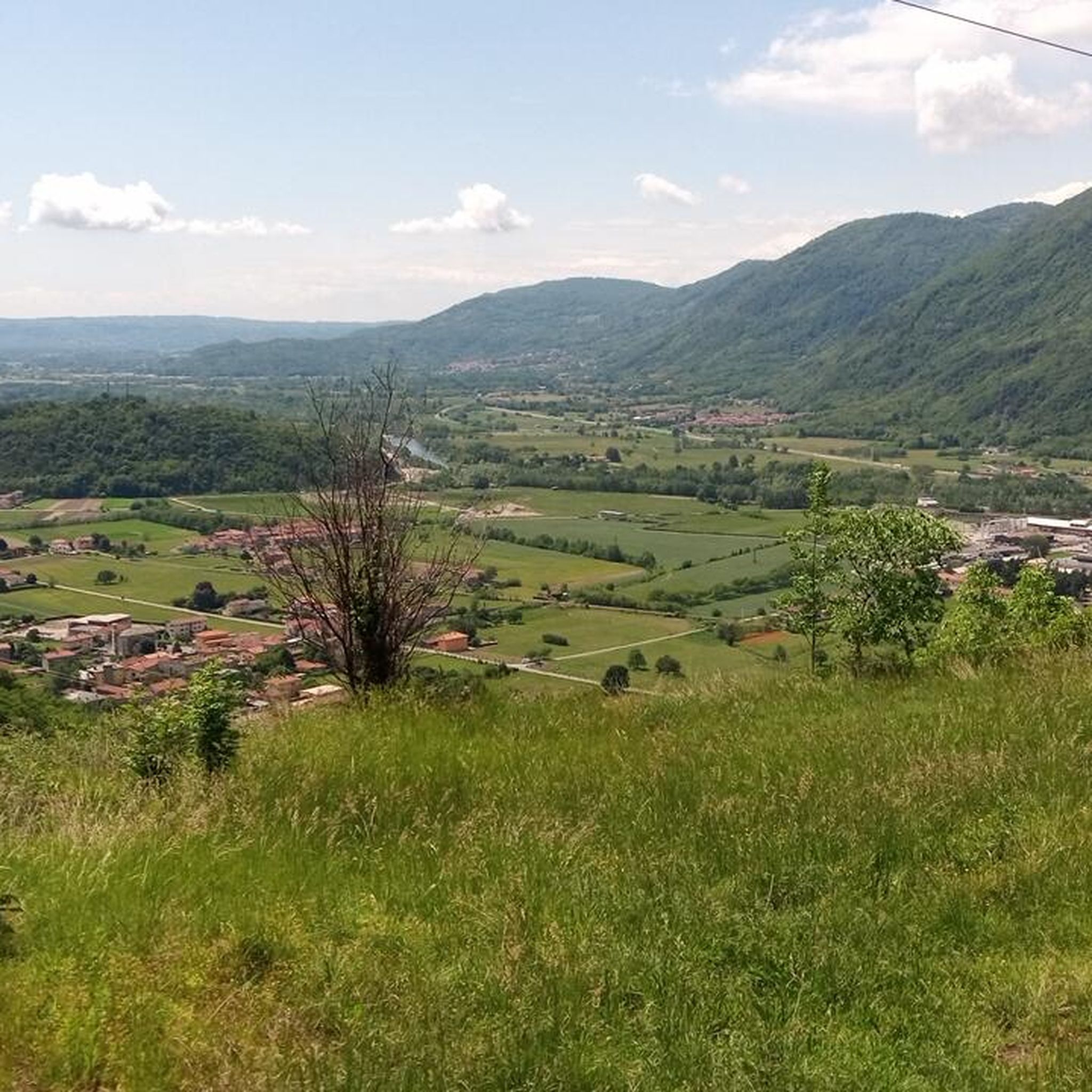
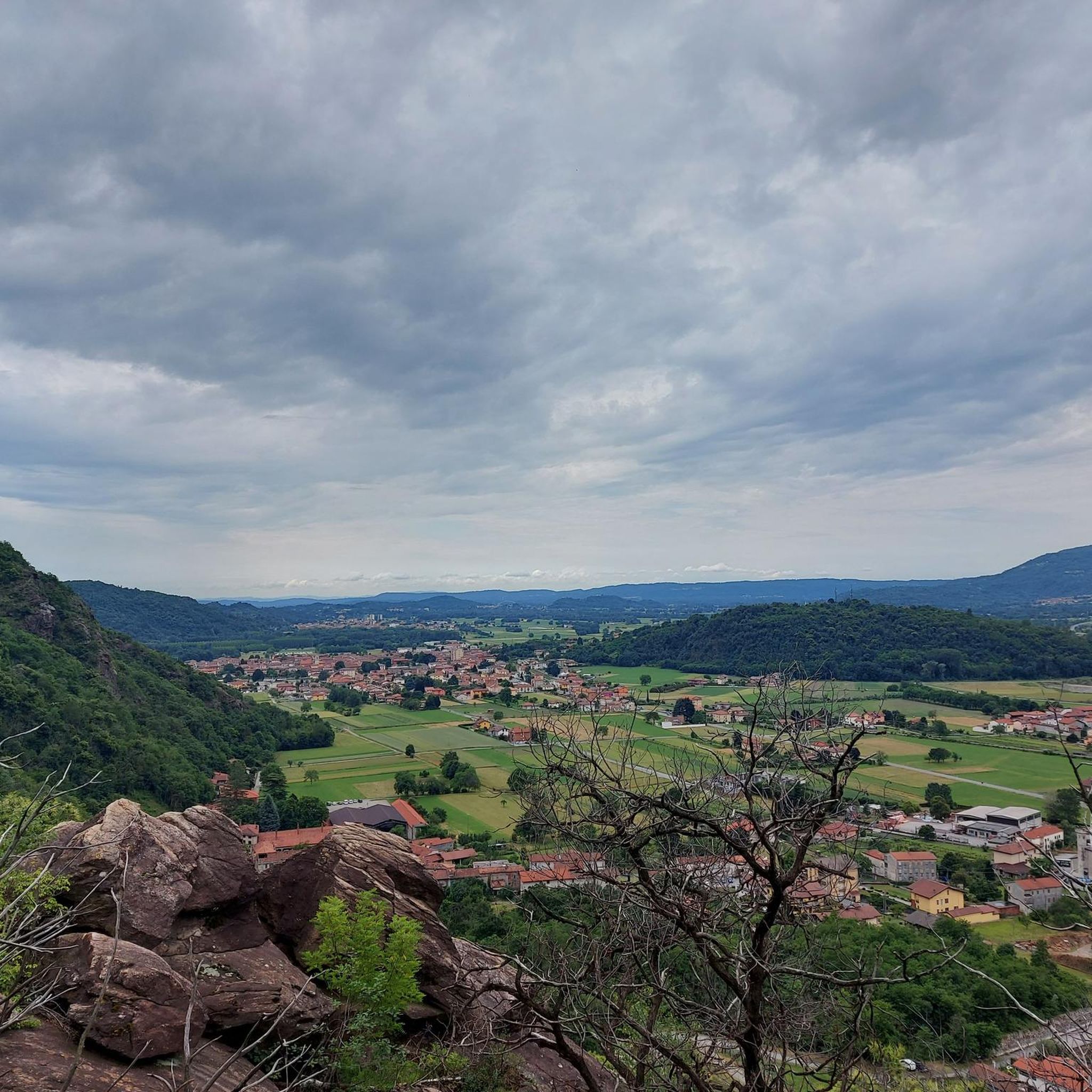
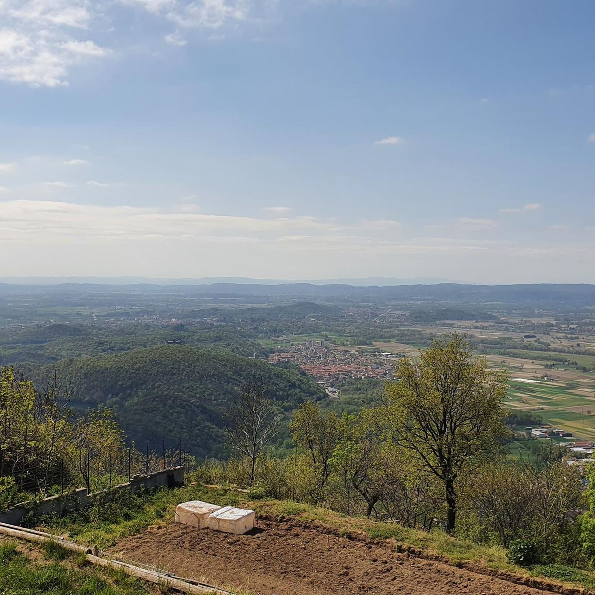
Hiking around Borgofranco D'Ivrea offers access to a landscape shaped by ancient glacial activity, forming the Ivrea Morainic Amphitheater. This region features rolling hills, distinct morainic ridges, and several glacial lakes, including Lake Pistono and Lake Nero. The terrain includes diverse ecosystems such as chestnut woods, vineyards, and forests, providing varied environments for outdoor exploration.
Best hiking trails around Borgofranco D'Ivrea
- The most popular hiking route is Il Burnel Fountain in Nomaglio – The Old Mill loop from Borgofranco d'Ivrea…
Last updated: July 10, 2026
4.7
(28)
99
hikers
Moderate hike. Good fitness required. Easily-accessible paths. Suitable for all skill levels.
4.8
(8)
32
hikers
14.1km
03:51
210m
210m
Moderate hike. Good fitness required. Easily-accessible paths. Suitable for all skill levels.

Sign up for free
4.5
(2)
17
hikers
Moderate hike. Good fitness required. Easily-accessible paths. Suitable for all skill levels.
16
hikers
5.10km
01:20
30m
30m
Easy hike. Great for any fitness level. Easily-accessible paths. Suitable for all skill levels.
4.0
(1)
10
hikers
12.4km
03:22
160m
160m
Moderate hike. Good fitness required. Easily-accessible paths. Suitable for all skill levels.
Get access to more routes and recommendations from other explorers.
Sign up for free
Already have an account?
Our route recommendations are based on thousands of hikes, rides, and runs completed by other people on komoot.
Start today with a free account
Your next adventure awaits.
Login or Signup

Tips from the Community

The Burnel is an ancient cup-marked stone located halfway along Via Maestra, the road that crosses the center of Nomaglio. On its surface, the cup marks engraved in prehistoric times are still visible, small hemispherical cavities whose exact function remains a subject of debate among scholars — perhaps linked to propitiatory rites or cult practices. In more recent times, the stone was adapted into a fountain, with a basin carved out for water, and on the stone, you can also observe the grooves left by the blades and knives that the villagers used to come here to sharpen. The name "burnel" indicates precisely this: a fountain with a stone basin. It is an object that, in a few square centimeters, tells of centuries of daily use superimposed on prehistoric traces, and has accompanied the life of the village for times much older than the stone houses with the typical Canavese arches that surround it.
0
0

Water point with bench and bike maintenance tool kit
0
0

Nomaglio is a small but pleasant, characteristic village that deserves a quick stop and a bike ride.
0
0

Lake Sirio in the summer is a real gem. Lush nature on the edge of the lake with the possibility of running or walking for about 3 km around it, including a short stretch of dirt. For swimming enthusiasts there is an embarrassment of choice because of all 5 morainic lakes in the area of the 5 lakes, this is the largest in terms of extension. The stretch that I have defined is a lap that touches the landing stage of the private rowing club, goes around the yellow buoys for the entire lake in the parts close to the banks. From mid-April (for the more daring with a wetsuit) until the end of September the temperatures allow swimming. I strongly recommend everyone to swim, however always bringing with them a floating buoy or a board with a belt tied around their waist.
0
0
It is a unique place of its kind. In a rather small and circumscribed area 2 steps from the Montalto lake (also called "Rabbit" lake) there is an area with a very dark soil composed of water, peat, earth and medium-sized trees. Especially when the ground is wet or it has rained previously if you jump on the surface, it moves creating small waves making the surrounding trees dance. A real show! You can reach the dancing lands from 2 different dirt tracks. For those with good technical skills the entry or exit paths in both directions are also fun to pedal.
0
0

Regardless of whether you reach the Serra di Ivrea or not, even wandering around these lakes, taking advantage of the good signage present, pays off! There is a nice variety of environments and paths, from single track to dirt road, ending on cobblestone sections, never too banal, especially in the wet... the lake environments are beautiful, given that most of these lakes are not very urbanized, the stilt houses rebuilt on the shore of Lake Pistono are very beautiful, they certainly deserve a stop. Places also suitable for children, given that in the lake area the differences in altitude are very modest... just watch out for hikers, because the paths are open to everyone!
3
0

Always working fountain called burnel
0
0
Frequently Asked Questions
How many hiking trails are available around Borgofranco D'Ivrea?
There are over 20 hiking routes around Borgofranco D'Ivrea, catering to various preferences and ability levels. The network includes 4 easy routes, 19 moderate routes, and 1 difficult route, offering diverse experiences across the Ivrea Morainic Amphitheater.
What kind of terrain can I expect on hikes in Borgofranco D'Ivrea?
The terrain around Borgofranco D'Ivrea is shaped by ancient glacial activity, featuring rolling hills, distinctive morainic ridges, and several glacial lakes. You'll hike through diverse ecosystems including chestnut woods, vineyards, and forests, with paths ranging from gentle loops around lakes to more challenging ascents on the morainic ridges.
Are there any circular hiking routes in the area?
Yes, many routes around Borgofranco D'Ivrea are circular, allowing you to start and end in the same location. For example, the Il Burnel Fountain in Nomaglio – The Old Mill loop from Borgofranco d'Ivrea is a popular circular trail exploring local countryside. Another option is the View of Castello di Montalto – Lago Nero loop from Borgofranco d'Ivrea, which offers scenic views and passes by glacial lakes.
What natural attractions can I see while hiking near Borgofranco D'Ivrea?
The region is rich in natural beauty, particularly its glacial features. You can explore the 'Area of the 5 Ivrea Lakes,' which includes Lake Pistono, Lake Sirio, and Lake Nero. The unique 'Terre Ballerine' (Dancing Lands), a floating peat bog, is another intriguing natural feature. The trails also wind through extensive chestnut woods and vineyards.
Are there any historical landmarks or castles accessible from the hiking trails?
Yes, several trails offer views of or pass by historical sites. You can see the Ivrea Castle and the Ivrea Historic Centre. The View of Castello di Montalto – Lago Nero loop from Borgofranco d'Ivrea provides excellent views of Montalto Castle. Other notable castles in the vicinity include Castello di Pavone Canavese and Montestrutto Castle and Church.
Are there any challenging hikes for experienced hikers?
Yes, for those seeking a more strenuous experience, there is at least one difficult route available. The Cogne Mines Waterfall – Pian dei Muli (721) loop from Baio Dora (Rio Rosso) is a challenging 15.1 km trail with over 1000 meters of elevation gain, offering a significant workout and rewarding views.
What do other hikers say about the trails in Borgofranco D'Ivrea?
The hiking routes around Borgofranco D'Ivrea are highly regarded by the komoot community, with an average rating of 4.5 stars from over 1,200 reviews. Hikers often praise the diverse landscapes, the well-maintained paths, and the stunning views of the glacial lakes and morainic amphitheater.
Are there any trails that feature waterfalls?
Yes, the region offers trails that include waterfalls. The Cogne Mines Waterfall – Pian dei Muli (721) loop from Baio Dora (Rio Rosso) is a notable difficult route that specifically highlights the Cogne Mines Waterfall.
What is the best time of year to go hiking in Borgofranco D'Ivrea?
The diverse ecosystems and glacial lakes make Borgofranco D'Ivrea enjoyable across multiple seasons. Spring and autumn offer pleasant temperatures and vibrant colors in the vineyards and forests. Summer is ideal for exploring the glacial lakes, while some trails might be accessible in winter, though conditions can vary.
Are there any long-distance hiking options in the area?
While many routes are day hikes, the region is connected to longer routes such as the 'Via Francigena Canavesana' and the 'White Stones Route'. The 'Ivrea Morainic Ridge ring' itself offers approximately 50 km of trails, providing options for extended exploration.
Can I find easy or beginner-friendly hikes around Borgofranco D'Ivrea?
Absolutely. There are 4 easy routes available, perfect for beginners or those looking for a relaxed stroll. These trails often feature gentler inclines and provide opportunities to enjoy the scenic beauty of the glacial lakes and woodlands without significant effort.
Are there any mountain passes I can reach on a hike?
Yes, the area around Borgofranco D'Ivrea includes several mountain passes that can be explored. Notable passes include Passo dell'Oca, Colle Carisey, and Colle Pian dei Muli, offering elevated views and a sense of accomplishment.
Most popular routes around Borgofranco D'Ivrea
Most popular attractions around Borgofranco D'Ivrea

Get inspired with the komoot mobile app


Explore more
Browse the best Hikes in other regions.
