The best walks and hikes around San Gillio
4.4
(2186)
12,536
hikers
543
hikes
Hiking around San Gillio, located northwest of Turin in Italy's Piedmont region, offers access to diverse landscapes. The area features the expansive Parco Naturale La Mandria, providing trails through green areas and historical sites. For more elevated terrain, Monte Musinè presents a peak with panoramic views. The region is characterized by varied terrain, from parklands to mountain ascents, providing a range of hiking experiences.
Best hiking trails around San Gillio
- The most popular hiking route is Punta Fournà, Monte Rosselli and Monte Baron — Ring tour, a 8.6 miles (13.8 km) trail that takes 5 hours 14 minutes to complete, offering a challenging ascent through mountainous terrain.
- Another top favourite among local hikers is Monte Musinè via Monte Calvo Trail, a moderate 4.7 miles (7.5 km) path leading to the Summit Cross of Monte Musinè.
- Local hikers also love the StouRing Trail, a 7.3 miles (11.7 km) trail leading through varied landscapes, often completed in about 3 hours 2 minutes.
- Hiking around San Gillio is defined by its natural parks, mountain peaks, and diverse terrain, offering routes suitable for various fitness levels.
- The routes in San Gillio are highly rated by the komoot community with an average score of 4.5 stars from over 1,900 reviews. More than 12,000 hikers have used komoot to explore San Gillio's varied terrain.
Last updated: July 7, 2026
1
hikers
10.2km
03:05
340m
330m
Hike the moderate 6.3-mile Costa Bella panoramic route (CAI Trail 005) in Riserva Naturale della Madonna della Neve sul Monte Lera for expan
5.0
(1)
2
hikers
11.7km
03:03
70m
70m
Hike the moderate StouRing Trail in Parco Naturale La Mandria, a 7.3-mile route with scenic wooded views and a river ford.

Sign up for free
4.2
(43)
108
hikers
12.9km
07:23
1,310m
1,310m
Hard hike. Very good fitness required. Mostly accessible paths. Sure-footedness required.
4.5
(4)
33
hikers
6.60km
01:42
30m
30m
Easy hike. Great for any fitness level. Easily-accessible paths. Suitable for all skill levels.
4.5
(6)
29
hikers
Moderate hike. Good fitness required. Mostly accessible paths. Sure-footedness required.
Get access to more routes and recommendations from other explorers.
Sign up for free
Already have an account?
Our route recommendations are based on thousands of hikes, rides, and runs completed by other people on komoot.
Start today with a free account
Your next adventure awaits.
Login or Signup
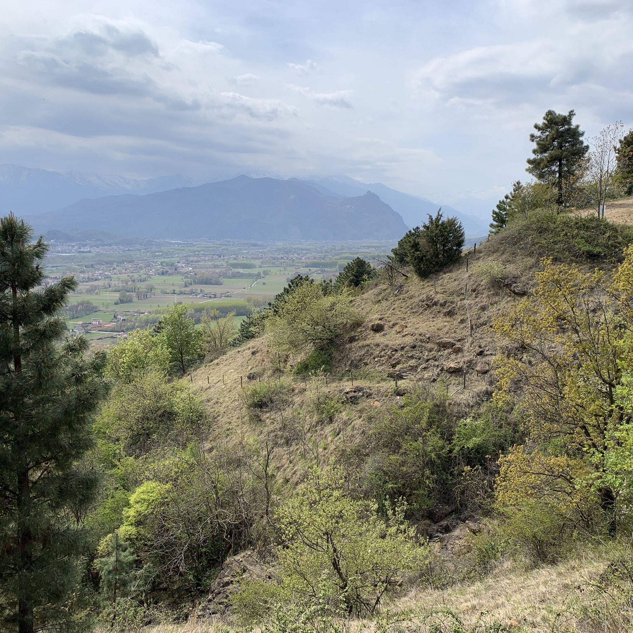
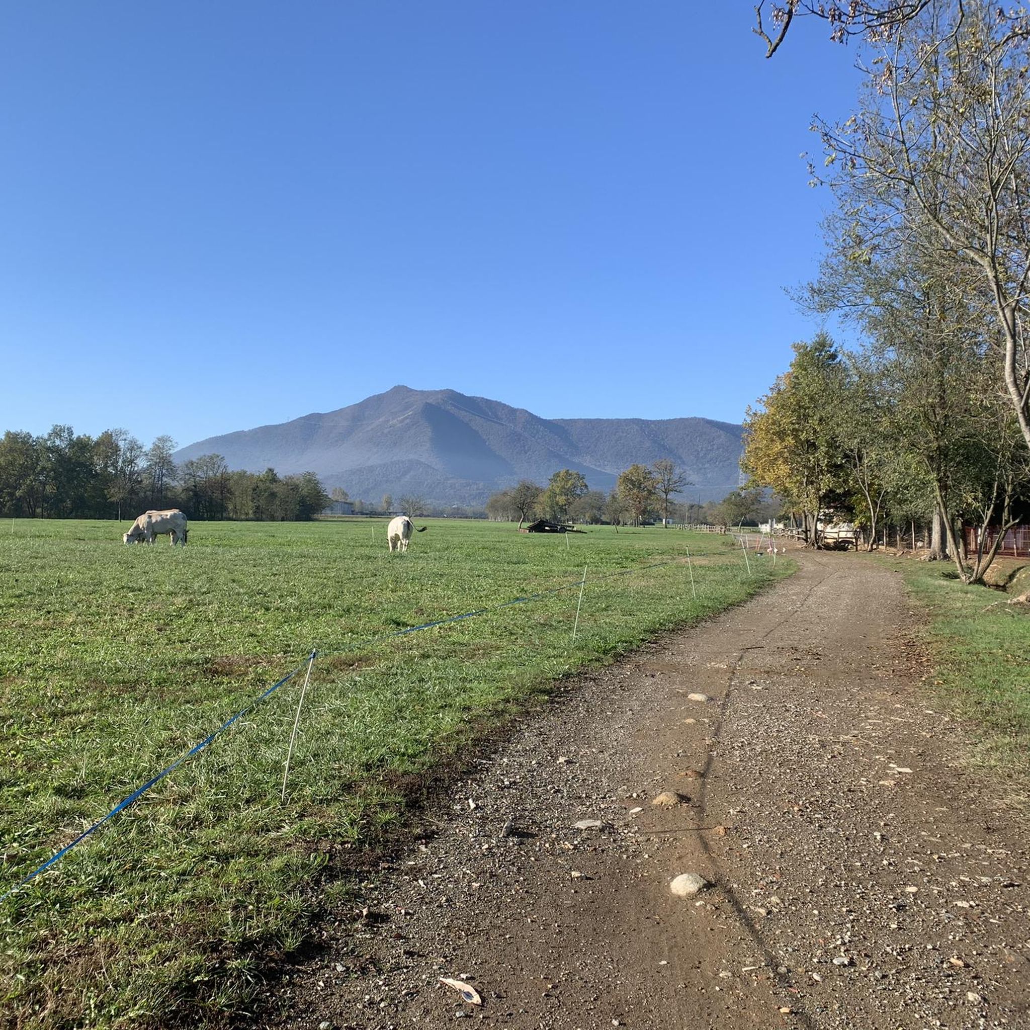
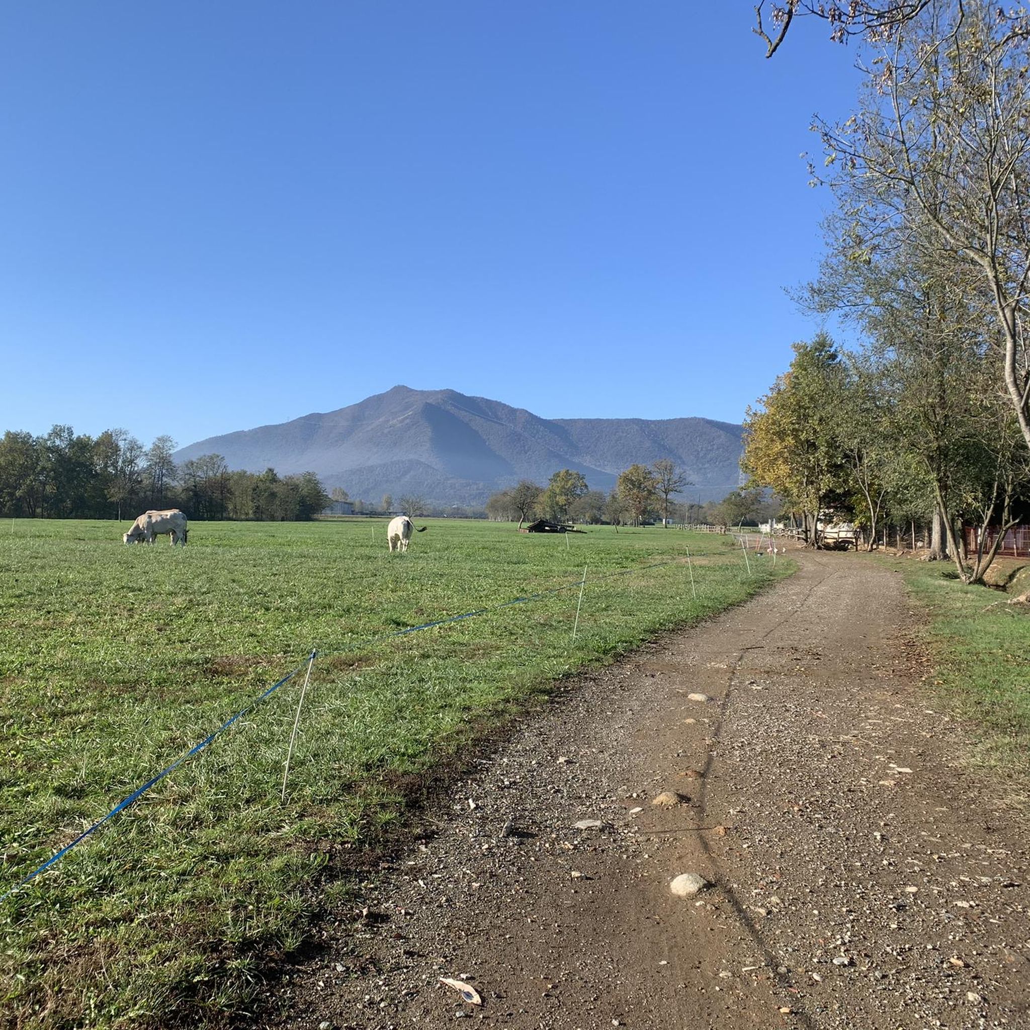
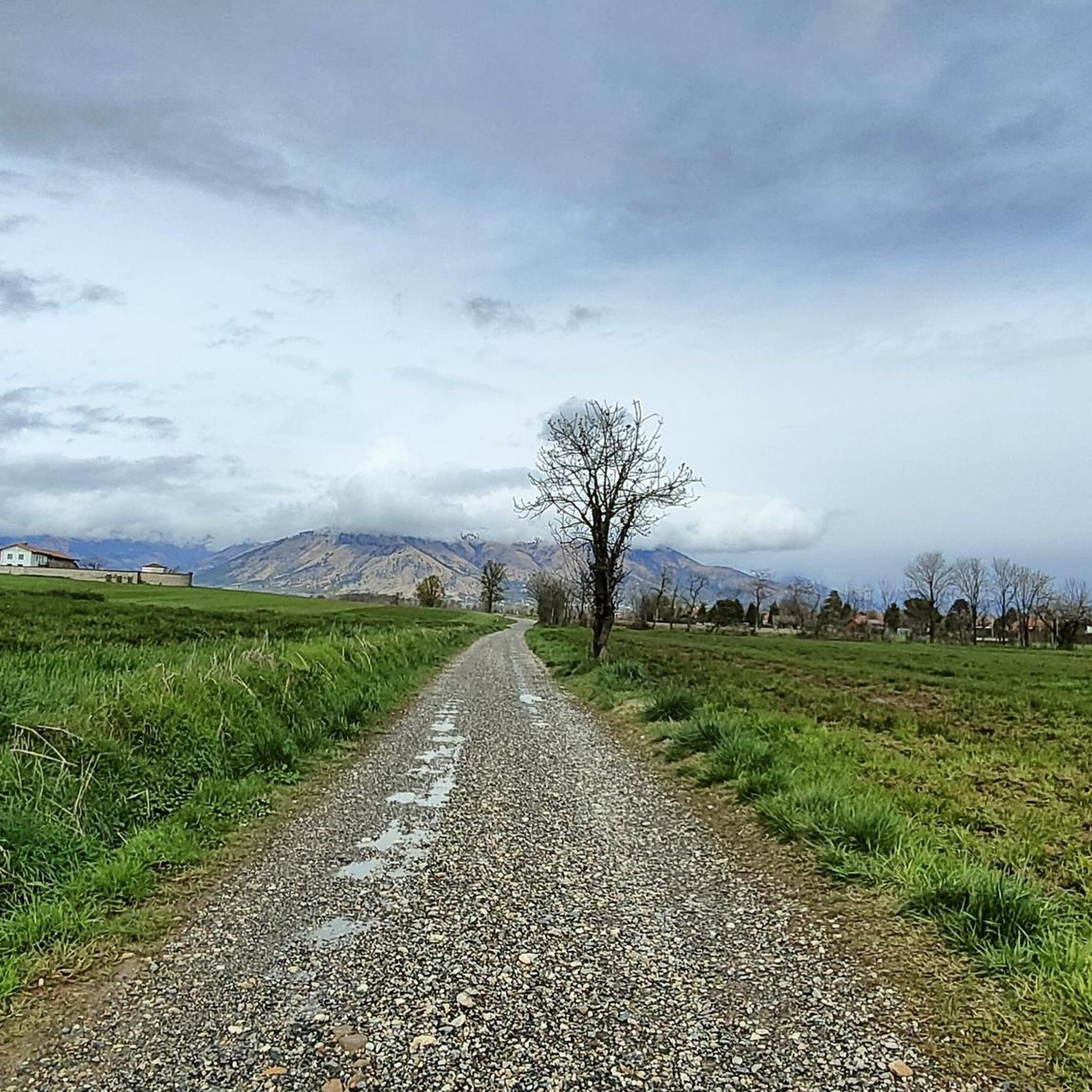

Tips from the Community

One of the many entrances to the park the herd
0
0

Very steep, steady climb. No equipment required; can be done in all seasons.
0
0


Beautiful farmhouse, one of the most well kept.
0
0

Excellent place for a pleasant stop inside the Park.
0
0
Frequently Asked Questions
How many hiking trails are available around San Gillio?
There are over 500 hiking routes available around San Gillio, catering to various preferences and fitness levels. These include a mix of easy, moderate, and difficult trails, with 203 easy, 256 moderate, and 52 difficult routes.
What kind of terrain can I expect on hikes near San Gillio?
The terrain around San Gillio is quite diverse. You can find trails through the expansive, relatively flat green areas of Parco Naturale La Mandria, as well as more elevated and challenging ascents leading to peaks like Monte Musinè, which offers panoramic views.
Are there any family-friendly hiking options in San Gillio?
Yes, San Gillio offers many easy routes suitable for families. For instance, the trails within Parco Naturale La Mandria are generally less strenuous and provide a pleasant environment for walks with children. There are over 200 easy routes in the area to choose from.
Can I bring my dog on the trails around San Gillio?
Many trails in the San Gillio area are dog-friendly, allowing you to enjoy the outdoors with your canine companion. However, it's always advisable to check specific park regulations, especially within protected areas like Parco Naturale La Mandria, and to keep dogs on a leash where required.
Are there any circular hiking routes near San Gillio?
Yes, the area features several circular routes. An example is the Ceronda Ring Trail, a moderate 10.2 km loop. Another option is the challenging Punta Fournà, Monte Rosselli and Monte Baron — Ring tour, which is 13.8 km long.
What natural attractions or landmarks can I see while hiking?
While hiking around San Gillio, you can discover various natural and historical landmarks. The Parco Naturale La Mandria itself contains historical sites like La Bizzarrìa. For elevated views, the Summit Cross of Monte Musinè is a notable landmark.
Are there any waterfalls to visit near San Gillio?
Yes, there are several waterfalls in the vicinity of San Gillio. You can explore highlights such as the Goja del Pis Waterfall, the Tagliafuoco Waterfall, and a Small waterfall on the Stura stream.
What are the options for parking when hiking in San Gillio?
Parking availability varies depending on the specific trailhead. For areas like Parco Naturale La Mandria, there are designated entrances and parking facilities, such as the Ponte Verde entrance. For other routes, street parking or smaller designated areas near villages may be available.
How can I reach the trailheads using public transport?
While specific public transport options to every trailhead might be limited, San Gillio is accessible by local public transport from Turin. From San Gillio, you may need to walk or use local services to reach some of the more remote starting points for hikes. It's recommended to check local bus schedules for routes connecting to nearby villages or park entrances.
What is the best time of year to go hiking in San Gillio?
The Piedmont region generally offers pleasant hiking conditions from spring through autumn. Spring brings blooming wildflowers, while autumn provides vibrant foliage. Summer can be warm, especially at lower elevations, making early mornings or higher altitude trails more comfortable. Winter hiking is possible, particularly on lower trails, but some higher routes may require appropriate gear for snow and ice.
Are there any easy hikes suitable for beginners?
Absolutely. San Gillio has over 200 easy routes perfect for beginners or those looking for a relaxed walk. Many of these can be found within the Parco Naturale La Mandria, offering gentle paths through natural landscapes. An example is the Forvilla to Givoletto trail, an easy 5.8 km route.
Where can I find refreshments or places to eat after a hike?
San Gillio and the surrounding villages offer various options for refreshments. You'll find local cafes, pubs, and restaurants where you can enjoy traditional Piedmontese cuisine and drinks. Some establishments might be located near popular trailheads or within the towns themselves, providing a convenient stop after your hike.
What makes hiking in San Gillio unique according to other hikers?
The komoot community highly rates hiking in San Gillio, with an average score of 4.5 stars from over 1,900 reviews. Hikers often praise the diverse terrain, which ranges from the peaceful parklands of La Mandria to the rewarding ascents of peaks like Monte Musinè, offering a blend of nature, history, and culture.
Can I explore historical sites while hiking in the area?
Yes, the region around San Gillio is rich in history. Within Parco Naturale La Mandria, you can discover historical sites such as La Bizzarrìa, a villa built for Vittorio Emanuele II. Additionally, the area features several castles, including La Mandria Castle Village and Castello di Rivoli Museum of Contemporary Art, which can be explored as part of your hiking adventures.
Most popular routes around San Gillio
Most popular attractions around San Gillio

Get inspired with the komoot mobile app


Explore more
Browse the best Hikes in other regions.
