The best walks and hikes around Montecosaro
4.4
(93)
1,016
hikers
64
hikes
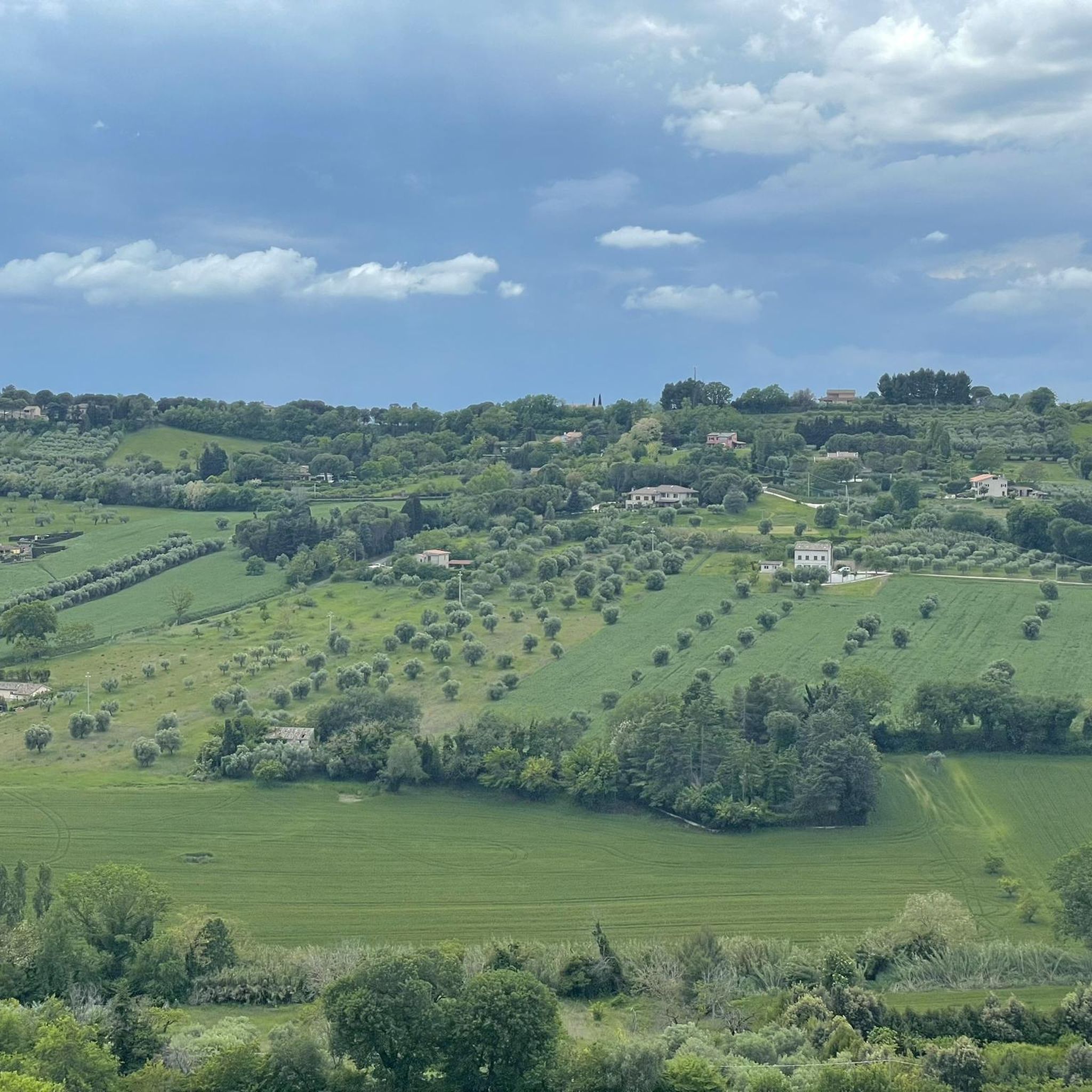
Hiking around Montecosaro offers diverse landscapes and panoramic views from its hilltop location in Italy's Marche region. The area is characterized by rolling patchwork hills, vineyards, olive groves, and the Chienti River valley. From its elevated position, hikers can experience sweeping vistas extending to the Adriatic Sea and inland to the Sibillini Mountains, providing a dynamic backdrop for outdoor activities. The terrain features a mix of easily accessible paths and more challenging routes.
Best hiking trails around Montecosaro
- The most…
Last updated: July 9, 2026
4.7
(3)
46
hikers
8.15km
02:15
140m
140m
Moderate hike. Good fitness required. Easily-accessible paths. Suitable for all skill levels.
4.0
(2)
30
hikers
4.83km
01:16
30m
30m
Easy hike. Great for any fitness level. Easily-accessible paths. Suitable for all skill levels.

Sign up for free
4.3
(3)
8
hikers
4.56km
01:09
10m
10m
Easy hike. Great for any fitness level. Easily-accessible paths. Suitable for all skill levels.
10
hikers
9.36km
02:25
50m
50m
Moderate hike. Good fitness required. Easily-accessible paths. Suitable for all skill levels.
4.0
(2)
8
hikers
4.86km
01:21
90m
90m
Easy hike. Great for any fitness level. Easily-accessible paths. Suitable for all skill levels.
Get access to more routes and recommendations from other explorers.
Sign up for free
Already have an account?
Our route recommendations are based on thousands of hikes, rides, and runs completed by other people on komoot.
Start today with a free account
Your next adventure awaits.
Login or Signup

Tips from the Community

Images of the main square and civic tower. Tribute to Ferdinando Scarfiotti.
0
0

Very pleasant because the slope is not excessive, to reach Civitanova Alta however you have to travel a very steep final stretch with vehicular traffic
0
0

The routes wind along various types of roads, in any case the pedaling is easy and requires only modest training then, as happens to me, when you can't do it, you get off for a while....😂
0
0


An idyllic (market) square under trees with lots of benches. To linger, cool off and enjoy the view. 😍 View over the Adriatic and the (partly hilly) inland. There is a café right next to it. Great prices.
0
0

It is an ancient village built on a hill enclosed within the walls of a medieval castle.
0
0

Path along the Chienti river with various lookout points and glimpses overlooking the river and the valley.
0
0
Frequently Asked Questions
How many hiking trails are available around Montecosaro?
There are over 40 hiking routes recorded around Montecosaro on komoot, offering a variety of experiences. These include both easy and moderate trails, ensuring options for different fitness levels.
Are there easy hiking trails suitable for beginners or families in Montecosaro?
Yes, Montecosaro offers many easy trails perfect for beginners or families. For example, the Bridge over the Potenza River – San Firmano Church loop from Becerica is an easy 5.9 km route. Another gentle option is the Hiking loop from Ponte Squadroni, which covers 5.5 km through the Chienti Valley's agricultural landscape.
What kind of views can I expect on hikes around Montecosaro?
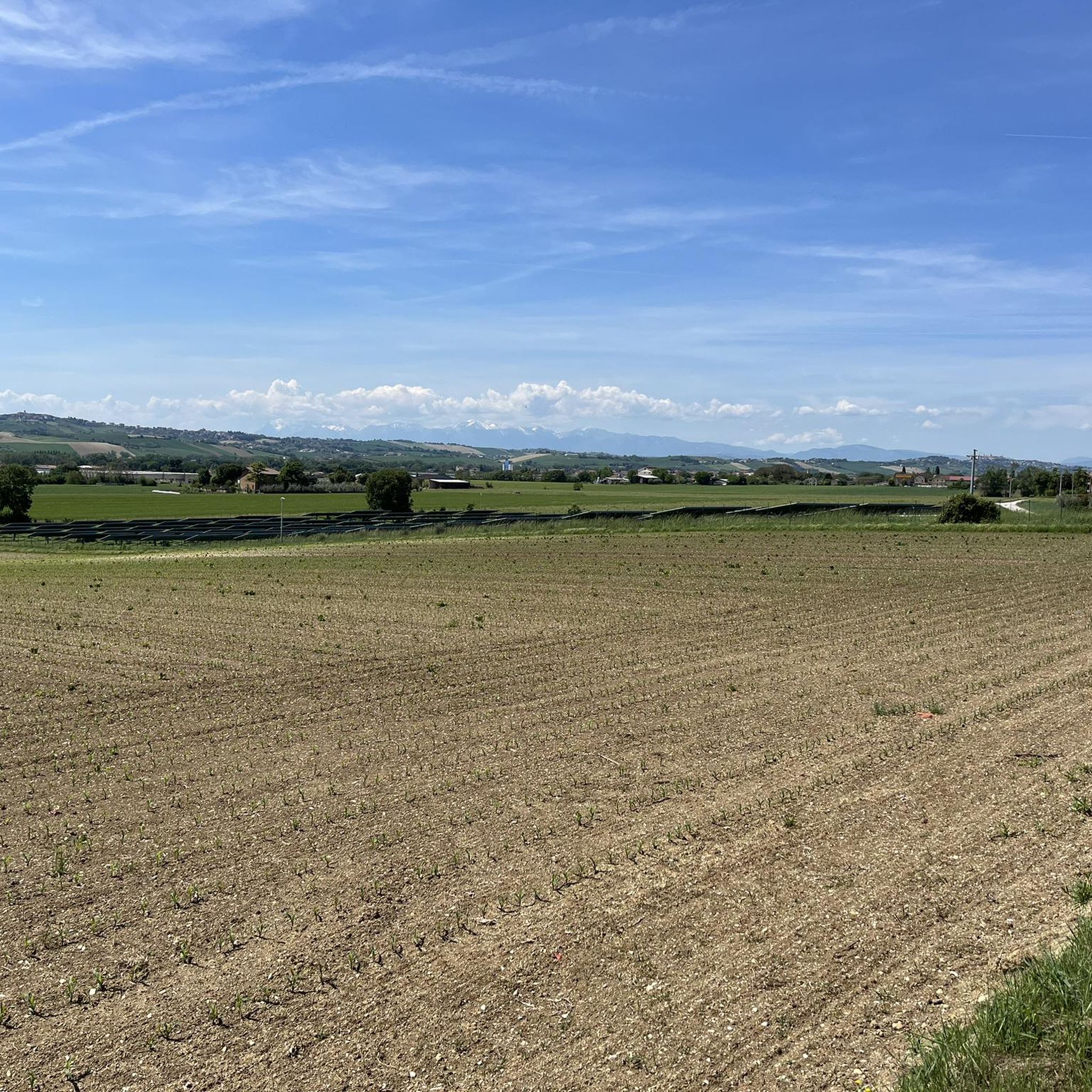
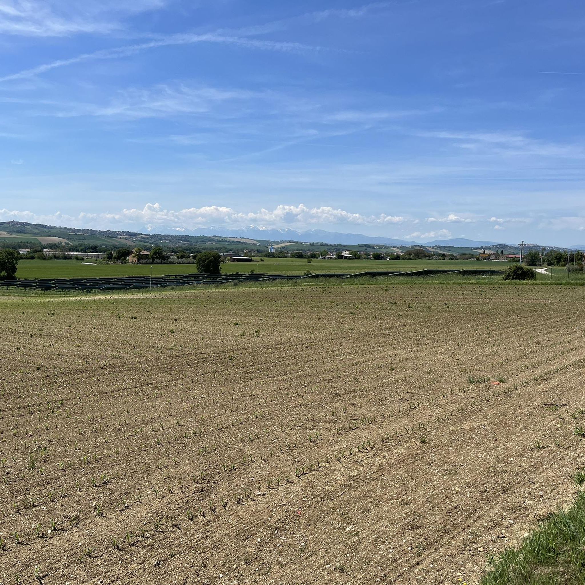
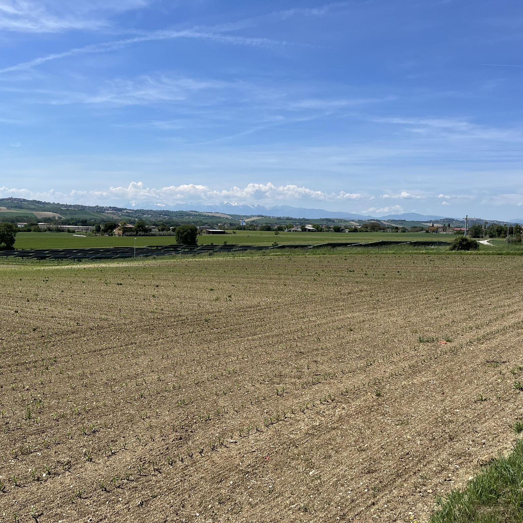
Hiking around Montecosaro offers stunning panoramic views. From its hilltop position, you can enjoy sweeping vistas of vineyards, olive groves, and the rolling patchwork hills of the Chienti Valley. On clear days, you might even see the Adriatic Sea to the east and the Sibillini Mountains inland, providing a dramatic backdrop to your walks. Many routes feature scenic viewpoints, such as the View of the Vineyards and Countryside.
Are there any circular hiking routes in Montecosaro?
Most of the hiking routes around Montecosaro are designed as loops, allowing you to start and end at the same point. Examples include the Hiking loop from Abbazia di Santa Croce al Chienti and the Istrice Viewpoint loop from Casette d'Ete, which is a moderate option.
What historical or natural attractions can I see along the hiking trails?
Montecosaro's trails often pass by or near significant historical and natural sites. You can explore the medieval town center itself, or visit the Romanesque Abbey of Santa Maria a piè di Chienti. Nearby highlights include the San Claudio Abbey and the Tower of Saint Anna. For natural beauty, some routes lead to areas like Laghetti Park.
Are the hiking trails in Montecosaro dog-friendly?
Generally, the natural trails around Montecosaro are suitable for dogs, provided they are kept under control and you follow local regulations regarding pets in public spaces and protected areas. Always ensure your dog is well-behaved and that you clean up after them to preserve the natural environment for everyone.
What is the best time of year to go hiking in Montecosaro?
The best time for hiking in Montecosaro is typically during the spring (April to June) and autumn (September to October). During these seasons, the weather is mild and pleasant, and the landscape is particularly beautiful with blooming wildflowers or vibrant autumn colors. Summer can be hot, so early morning or late afternoon hikes are recommended then.
Are there any challenging hikes for experienced hikers?
While Montecosaro is known for its accessible paths, there are moderate routes that offer more of a challenge. For instance, the Istrice Viewpoint loop from Casette d'Ete is a moderate 9.36 km hike with some elevation gain, requiring good fitness. The region has 23 moderate trails in total, offering varied terrain and longer distances.
What do other hikers say about the trails in Montecosaro?
The hiking routes in Montecosaro are highly regarded by the komoot community, holding an average rating of 4.6 stars from over 70 reviews. Hikers frequently praise the diverse landscapes, the panoramic views extending to the sea and mountains, and the well-maintained paths that cater to various skill levels.
Is public transport available to reach the hiking trailheads?
While Montecosaro is well-connected by road, public transport options directly to specific trailheads might be limited. It is generally recommended to use a car to access the starting points of many hikes, especially those outside the immediate town center. Local bus services may connect to Montecosaro itself, but checking specific routes and schedules for onward travel to rural trailheads is advisable.
Where can I find parking for hiking trails in Montecosaro?
Parking is generally available in and around Montecosaro's town center, which can serve as a starting point for many routes. For trails beginning in smaller hamlets or rural areas, look for designated parking spots near churches, small squares, or along less-trafficked roads. Always ensure you park responsibly and do not obstruct local access.
What should I wear for hiking in Montecosaro?
For hiking in Montecosaro, comfortable walking shoes or light hiking boots are recommended, especially for trails with varied terrain. Dress in layers to adapt to changing weather conditions, and bring sun protection like a hat and sunscreen, particularly during warmer months. A small backpack with water and snacks is also advisable.
Most popular routes around Montecosaro
Most popular attractions around Montecosaro

Get inspired with the komoot mobile app


Explore more
Browse the best Hikes in other regions.
