The best road cycling routes around Colmurano
4.4
(59)
2,983
riders
116
rides
Road cycling routes around Colmurano, situated in Italy's Marche region, present diverse terrain characterized by rolling hills and river valleys. This area offers varied cycling routes suitable for different fitness levels. The landscape features well-paved surfaces and frequently passes historical attractions, providing an appealing destination for road cyclists.
Best road cycling routes around Colmurano
- The most popular road cycling route is Rocca di Urbisaglia – Urbisaglia Castle loop from Colmurano, a 27.8 miles (44.8 km) trail that takes 2…
Last updated: July 8, 2026
43
riders
45.2km
02:21
800m
800m
Moderate road ride. Good fitness required. Mostly well-paved surfaces and easy to ride.
38
riders
62.1km
03:16
1,120m
1,120m
Hard road ride. Very good fitness required. Mostly well-paved surfaces and easy to ride.

Sign up for free
25
riders
68.0km
03:26
1,050m
1,050m
Hard road ride. Very good fitness required. Mostly well-paved surfaces and easy to ride.
23
riders
52.9km
02:38
780m
780m
Moderate road ride. Good fitness required. Mostly well-paved surfaces and easy to ride.
20
riders
58.9km
02:26
370m
370m
Moderate road ride. Good fitness required. Mostly well-paved surfaces and easy to ride.
Get access to more routes and recommendations from other explorers.
Sign up for free
Already have an account?
Our route recommendations are based on thousands of hikes, rides, and runs completed by other people on komoot.
Start today with a free account
Your next adventure awaits.
Login or Signup
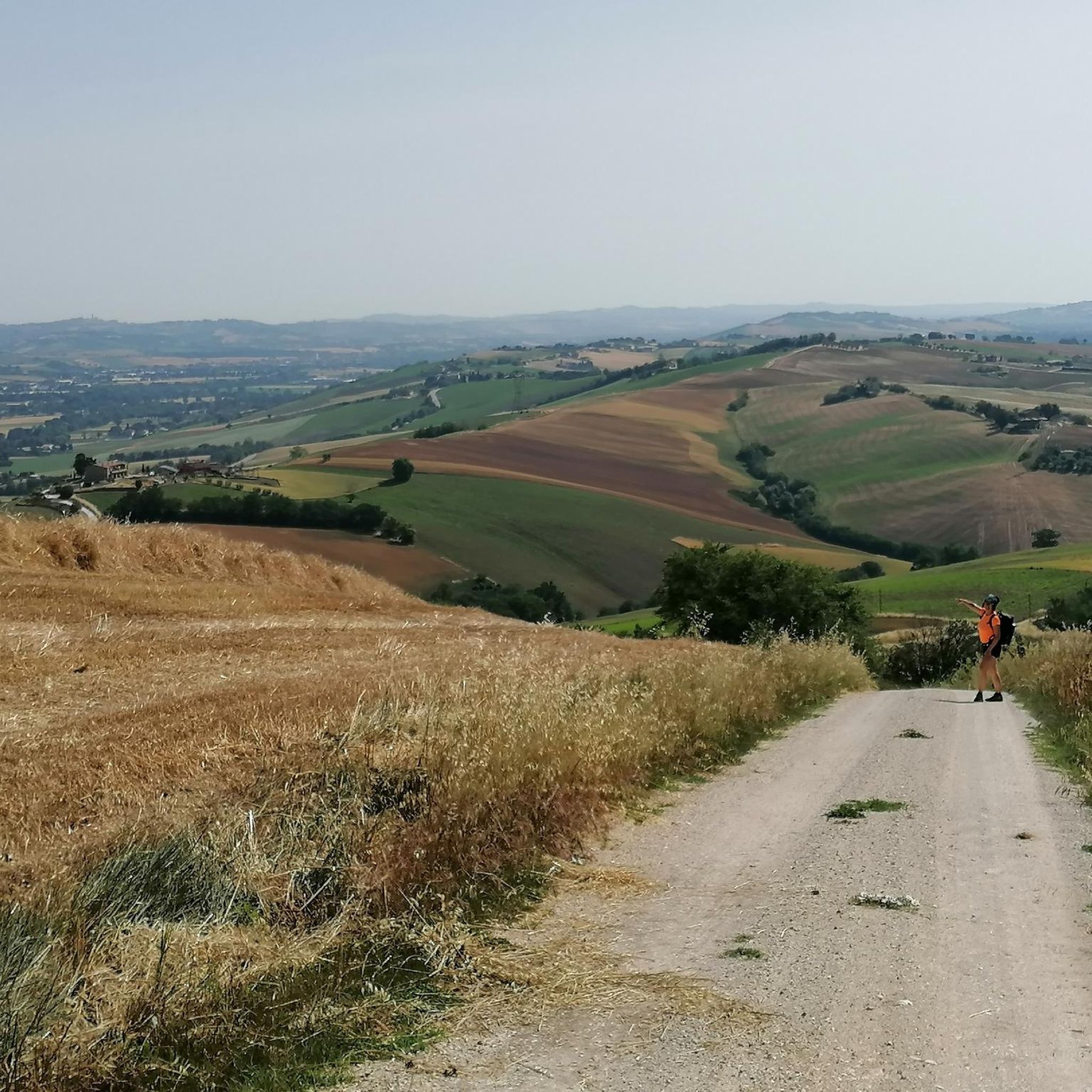
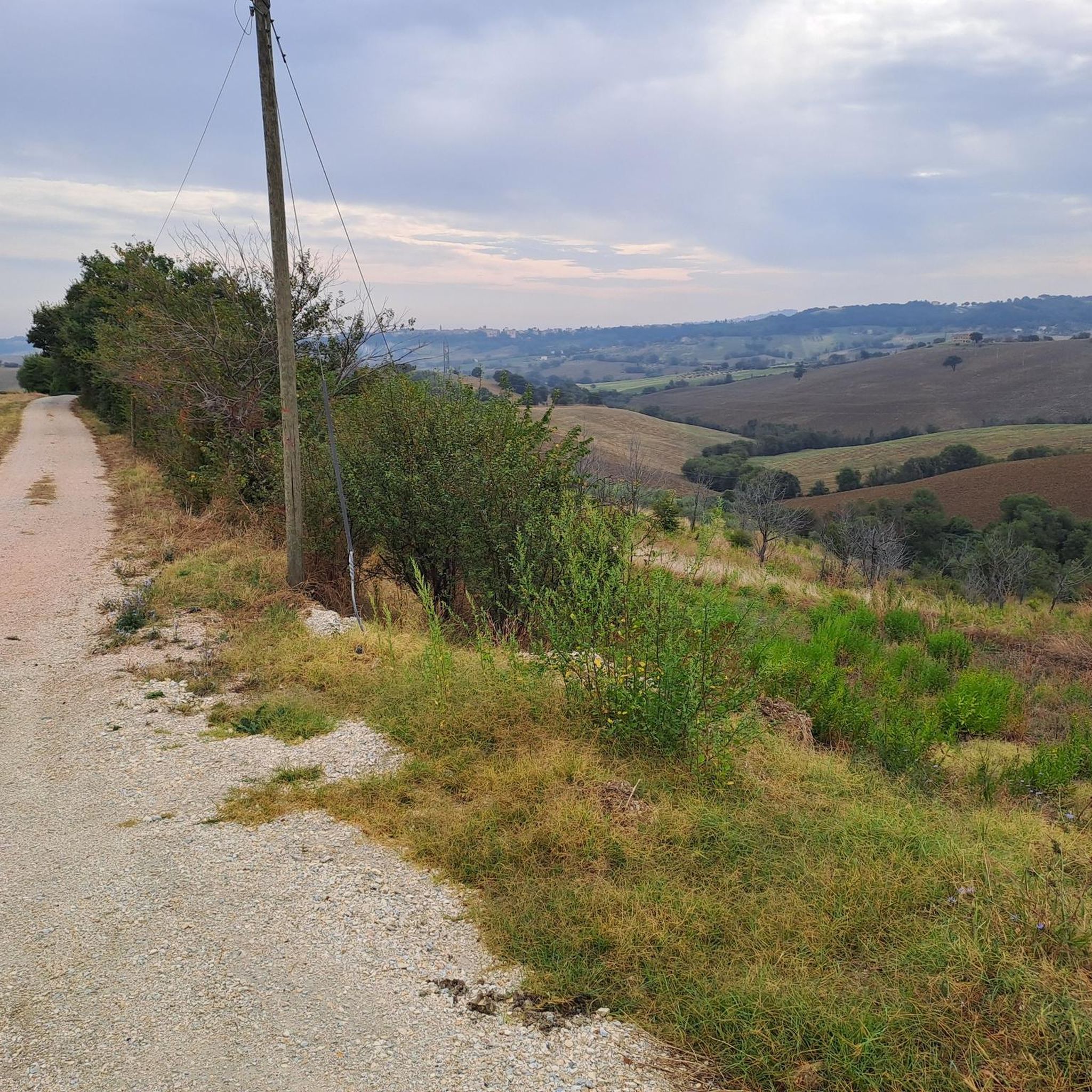
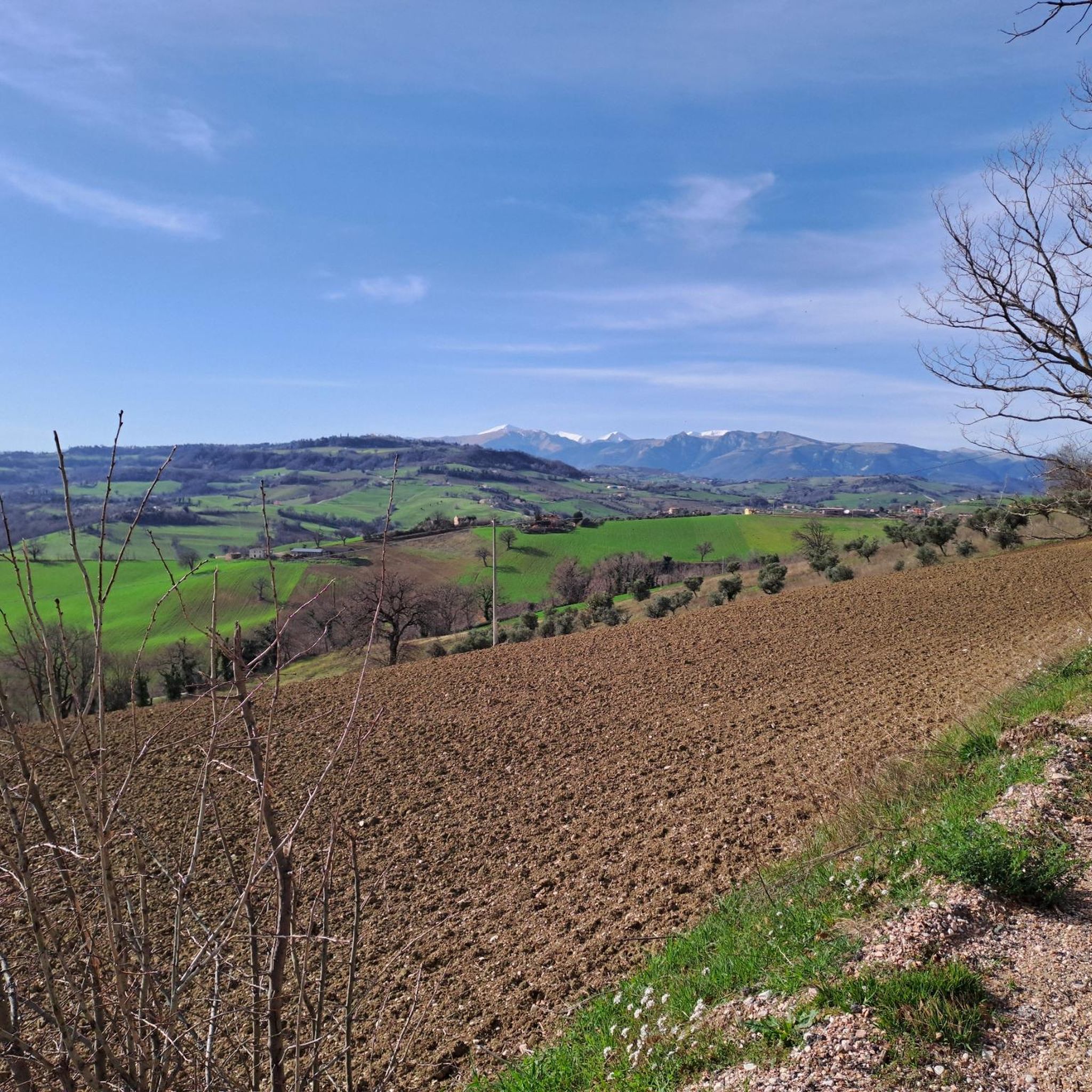

Tips from the Community

picturesque 1200s bridge over the Chienti river
2
0

The Basilica of the Santissima Annunziata, or Basilica of Santa Maria a Piè di Chienti, is a parish church located in the municipality of Montecosaro, in the hamlet of Montecosaro Scalo, in the province of Macerata. It represents one of the masterpieces of Romanesque architecture in the Marche region, and owes its name to the Chienti River that flows nearby.
0
0


The main square of the village of San Ginesio, with the Bar Centrale, a must-see stop for cyclists
0
0

To fill the water bottles and set off again.
15
0
A very small but at the same time fascinating square.
15
0

The "Abbadia di Fiastra" Nature Reserve offers visitors, in addition to large and welcoming green spaces, numerous facilities: the Information Office where it is also possible to book guided tours of the Reserve and the Abbey, the Visitor Center, the Museum of Rural Civilization, the Archaeological Museum and the Wine Museum. There is also a picnic area, a camper service, nature trails, horse and bike trails, a sensory trail for the disabled, large parking lots, toilets, bars, pizzerias, restaurants, points of sale of local products and various accommodation facilities. More information on the dedicated website
0
0

Legend has it that the bridge was built in just one night thanks to the help of the devil who in exchange wanted the soul of the first person to cross it.
0
0
Frequently Asked Questions
How many road cycling routes are available around Colmurano?
There are over 120 road cycling routes available around Colmurano, catering to various skill levels. This includes a mix of easy, moderate, and challenging rides through the region's diverse terrain.
What is the terrain like for road cycling in Colmurano?
The terrain around Colmurano is characterized by mostly rolling hills and river valleys, offering a varied and scenic experience. Routes often feature well-paved surfaces, making for enjoyable rides with a mix of ascents and descents.
What are the difficulty levels of road cycling routes in Colmurano?
Colmurano offers a range of difficulty levels. You'll find a few easy routes, around 58 moderate options, and over 60 challenging routes with significant elevation gains, suitable for experienced riders seeking a demanding workout.
What do other cyclists say about road cycling in Colmurano?
The road cycling routes in Colmurano are highly rated by the komoot community, with an average score of 4.4 stars from over 70 reviews. Cyclists often praise the varied terrain, scenic landscapes, and the integration of historical landmarks along the routes.
Are there any easy road cycling routes suitable for beginners in Colmurano?
While the region is known for its rolling hills, there are a few easier road cycling routes available. These typically feature less elevation gain and shorter distances, providing a good starting point for those new to road cycling in the area.
What are some challenging road cycling routes for experienced riders in Colmurano?
For experienced riders, routes like the Urbisaglia Castle – Historic Village of Sarnano loop from Urbisaglia offer a significant challenge, covering over 61 km with more than 1140 meters of elevation gain. Another demanding option is the Urbisaglia Castle – Devil's Bridge (Tolentino) loop from Urbisaglia, which spans about 68 km with over 1050 meters of climbing.
Are there road cycling routes that form a loop around Colmurano?
Yes, many road cycling routes around Colmurano are designed as loops, allowing you to start and finish in the same location. An example is the Rocca di Urbisaglia – Urbisaglia Castle loop from Colmurano, a moderate 44.8 km route.
What historical landmarks can I see along road cycling routes in Colmurano?
Road cycling routes frequently pass through or near significant historical landmarks. You might encounter La Rancia Castle, the Abbadia di Fiastra Abbey and Nature Reserve, or the charming Devil's Bridge (Tolentino). These sites offer cultural points of interest amidst your ride.
Are there any natural features or scenic viewpoints along the cycling routes?
Absolutely. The region's rolling hills and river valleys provide numerous scenic viewpoints. Routes often pass by natural features such as the Lake Caccamo, offering picturesque backdrops and opportunities to enjoy the Marche landscape.
What is the best time of year for road cycling in Colmurano?
The best time for road cycling in Colmurano is generally during the spring and autumn months when the weather is milder and the landscapes are vibrant. Summers can be warm, while winters may bring cooler temperatures and a higher chance of rain.
Are there any routes that pass through charming villages or towns?
Yes, several routes integrate charming towns and villages into the cycling experience. For instance, the Urbisaglia Castle – Historic Village of Sarnano loop from Urbisaglia allows riders to experience local culture and architecture in the historic village of Sarnano.
Are there any road cycling routes that include a water source or cafe stop?
While specific cafe stops are not always marked, many routes pass through towns and villages where you can find amenities. The Urbisaglia Castle – Drinking water fountain loop from Colmurano specifically highlights a water source, which can be useful for refilling bottles.
Most popular attractions around Colmurano

Get inspired with the komoot mobile app


Explore more
Browse the best Road cycling routes in other regions.
