The best walks and hikes around Montemignaio
4.4
(341)
1,179
hikers
32
hikes
Hiking around Montemignaio offers access to diverse landscapes in the province of Arezzo, Italy. Situated on the wooded slopes of the Pratomagno mountain range, the region features dense forests of oak, chestnut, and beech trees. Elevated terrain provides views of the terraced Valdarno valley and the Casentino, with Mount Secchieta offering panoramic vistas. The area is also in proximity to the Casentino Forests, Monte Falterona, and Campigna National Park.
Best hiking trails around Montemignaio
- The most popular hiking route is…
Last updated: October 12, 2026
4.6
(37)
84
hikers
5.32km
01:30
110m
110m
Easy hike. Great for any fitness level. Easily-accessible paths. Suitable for all skill levels.
4.5
(10)
39
hikers
Moderate hike. Good fitness required. Easily-accessible paths. Suitable for all skill levels.

4.2
(14)
33
hikers
8.57km
02:30
220m
230m
Moderate hike. Good fitness required. Easily-accessible paths. Suitable for all skill levels.
4.5
(2)
35
hikers
Moderate hike. Good fitness required. Easily-accessible paths. Suitable for all skill levels.
4.7
(3)
13
hikers
9.58km
03:14
500m
500m
Moderate hike. Good fitness required. Easily-accessible paths. Suitable for all skill levels.
Get access to more routes and recommendations from other explorers.
Already have an account?
Our route recommendations are based on thousands of hikes, rides, and runs completed by other people on komoot.
Start today with a free account
Your next adventure awaits.
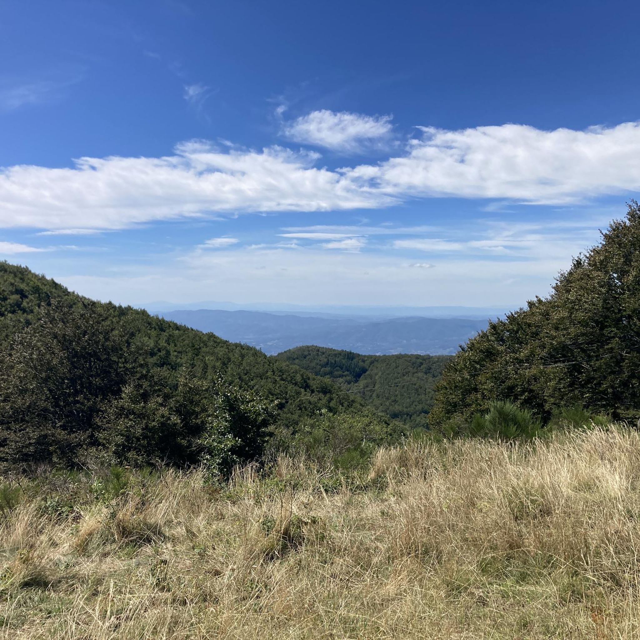
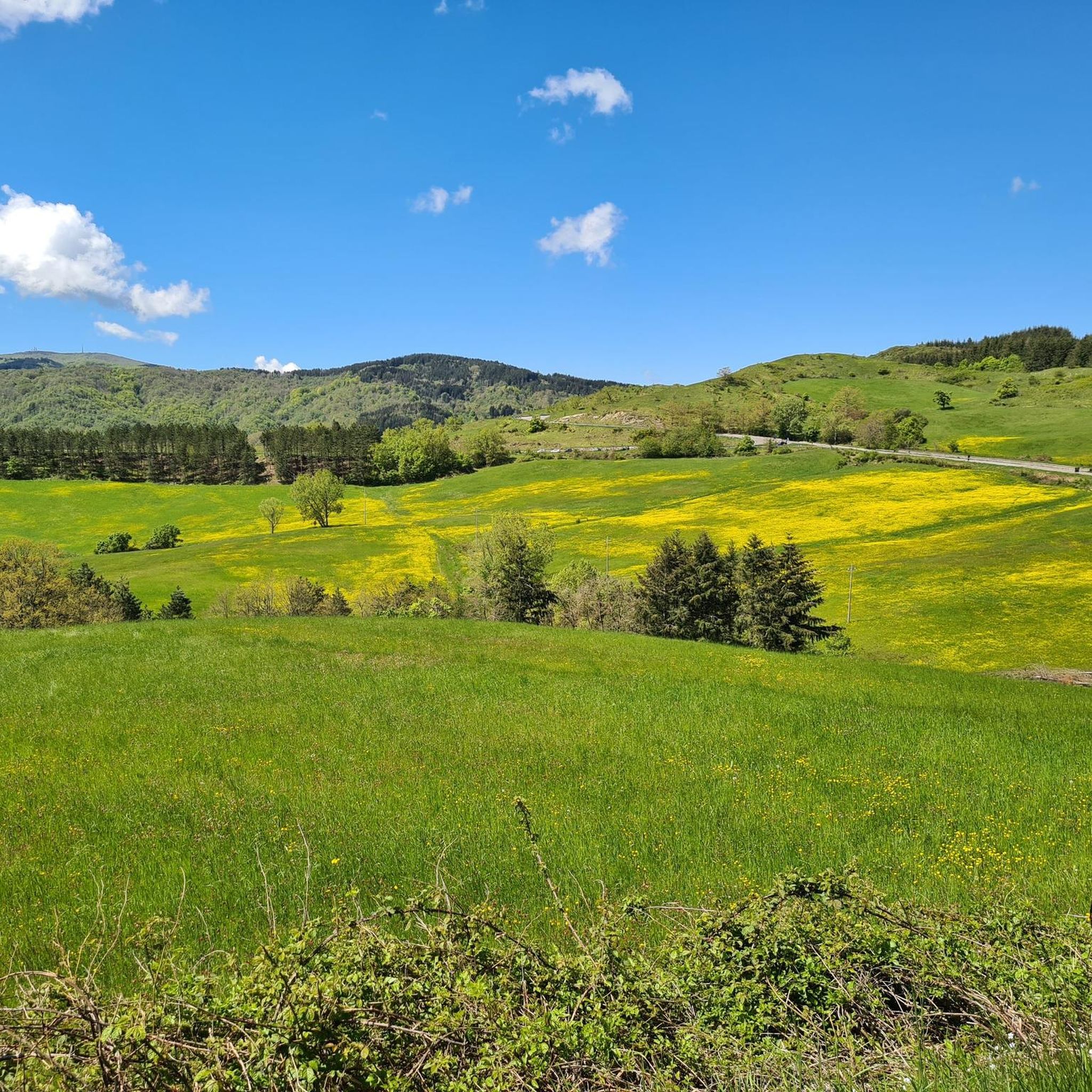
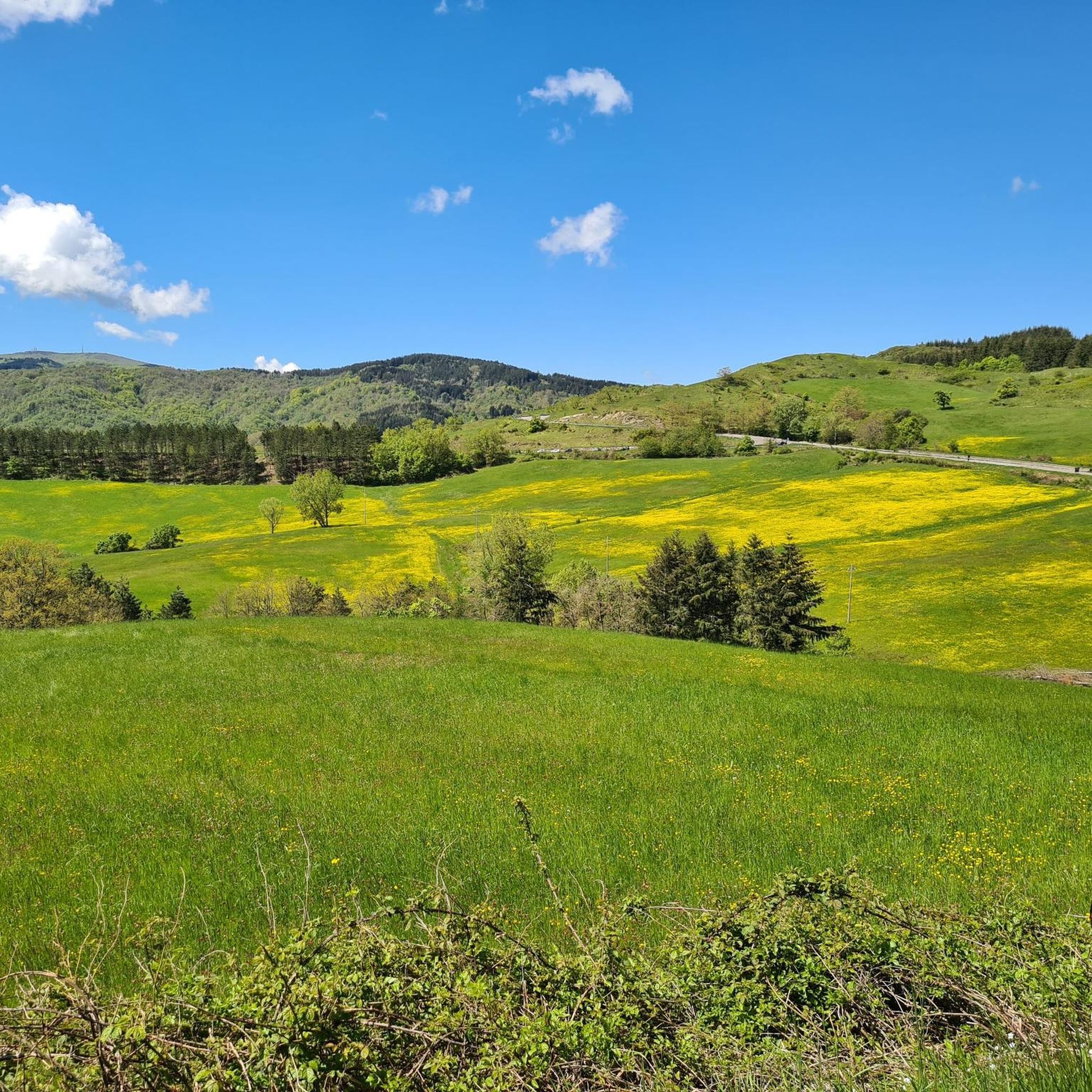
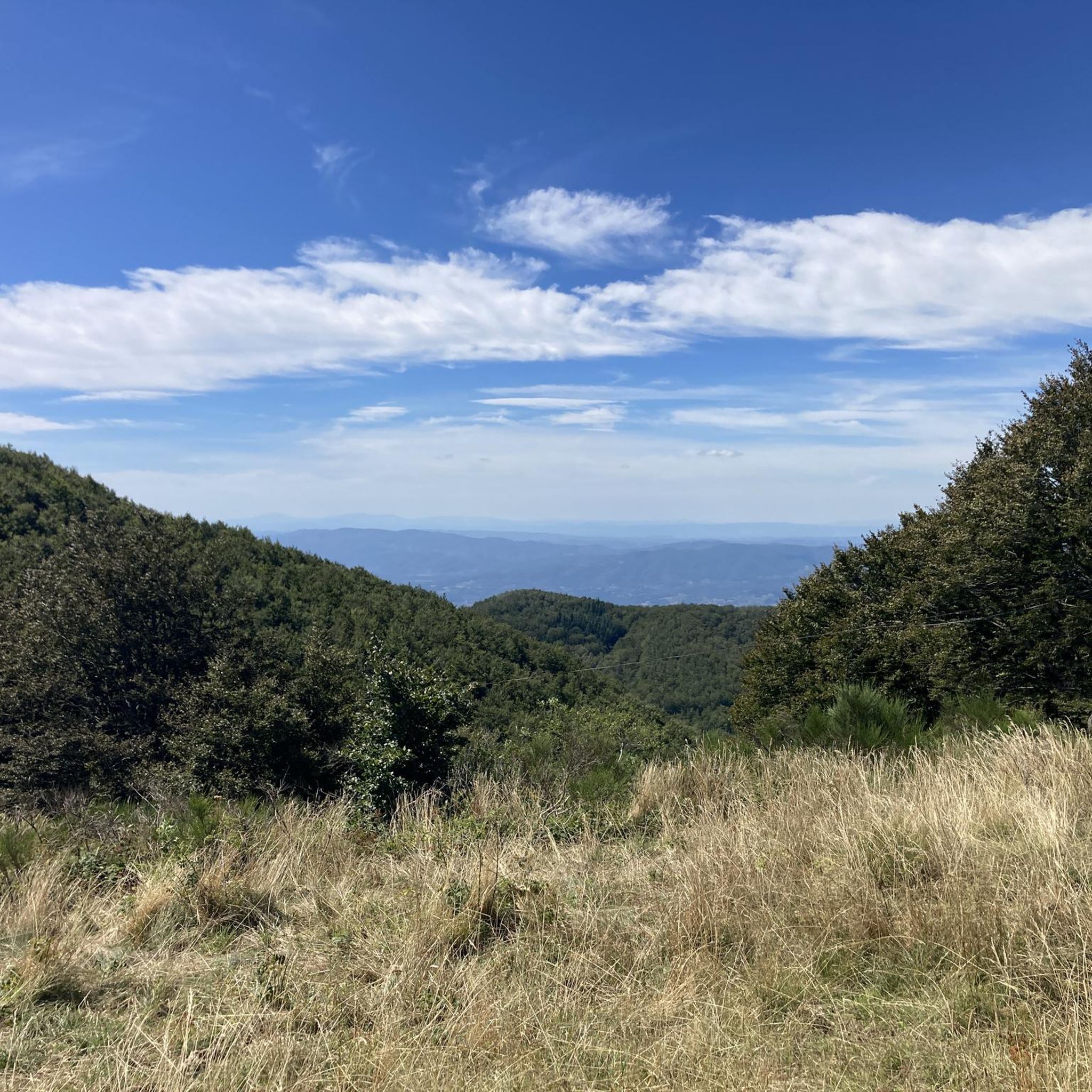

Tips from the Community

Dilapidated and abandoned structure. A shame because it would be a place for the area's hospitality and culture.
0
0
Conspicuous point visible on the Ssecchieta ridge
0
0
There are picnic tables often occupied by hikers
0
0
Often dry in the summer season
0
0
On the ridge of Secchieta another conspicuous point with a Cross and Monument
0
0

It is a place where you feel welcome. Everything a hiker/pilgrim needs is there. After a strenuous hike (more than 1000 m altitude difference), this is a place where you can regenerate and exchange with other pilgrims. Elena and her warm-hearted nature are the good spirits of this accommodation. Thank you
0
0

It's essentially the summit of Mount Secchieta. The other nearby peak is difficult to reach, occupied by several repeaters and fenced off. The cross and chapel commemorate the Resistance.
10
0

Mount Secchieta lies between the municipalities of Reggello and Montemignaio. The peak, approximately 1,500 meters above sea level, is part of the Pratomagno ridge and separates the Casentino valley from the Upper Valdarno valley. There is a refuge there, which can also be reached by a paved road.
0
0
Frequently Asked Questions
What types of hiking trails can I find around Montemignaio?
Montemignaio offers a diverse range of hiking trails, from easy walks to more challenging routes. You'll find paths through dense forests of oak, chestnut, spruce, pine, and beech, as well as elevated terrain with panoramic views of the Valdarno valley and the Casentino. The region is known for its fir tree cultivations and its proximity to the Pratomagno mountain range and the Casentino Forests National Park.
Are there any easy hiking routes suitable for beginners or families?
Yes, Montemignaio has several easy routes. For instance, the Hiking loop from Passo della Consuma is an easy 4.9 km trail that takes about 1 hour 23 minutes, offering pleasant views from the pass. Overall, there are 7 easy routes available in the area.
What kind of views or natural features can I expect on the trails?
Hikers can expect stunning natural beauty. The trails often lead through lush forests, including ancient beech woods, and offer panoramic views from the Pratomagno slopes, extending over the terraced Valdarno valley and the Casentino. On clear days, from higher points like Mount Secchieta, you might even see as far as Florence, the Pistoia Apennines, and the Apuan Alps. The area is also known for its fir tree cultivations.
Are there any historical landmarks or attractions to see while hiking?
Absolutely. The region is rich in history. You can explore the medieval settlement of Castel Leone with its ancient defense walls and a surviving tower. The 11th-century Romanesque Parish Church of Santa Maria Assunta, Stia is another precious treasure. Additionally, the Vallombrosa Abbey and the Consuma Pass are notable points of interest that can be incorporated into your hikes.
What do other hikers say about the trails around Montemignaio?
The trails around Montemignaio are highly regarded by the komoot community, with an average rating of 4.4 stars from over 260 reviews. Hikers often praise the diverse landscapes, the well-preserved natural environment, and the variety of routes suitable for different fitness levels.
Are there any circular hiking routes available?
Yes, many routes in the Montemignaio area are circular. For example, the Guards' Hut Bivouac – View of Valdarno loop from Area naturale protetta di interesse locale Foresta di Sant'Antonio is a moderate 6.4 km loop offering views of the Valdarno valley. Another popular option is the Consuma Pass – Scenic Rest Area loop from Passo della Consuma, which is 8.6 km long.
Can I hike with my dog in Montemignaio?
While the region's dense forests and natural landscapes are generally welcoming for dogs, specific rules can vary, especially within protected areas like the Casentino Forests National Park. It's always advisable to keep your dog on a leash to protect local wildlife and ensure a pleasant experience for all hikers. Check local signage for any specific restrictions.
What is the best time of year to go hiking in Montemignaio?
Montemignaio offers beautiful hiking opportunities throughout much of the year. Spring and autumn are particularly pleasant, with mild temperatures and vibrant foliage. The dense forests provide shade in summer, making it enjoyable even during warmer months. Winter hiking is also possible, especially in lower elevations, but higher routes might require appropriate gear due to snow.
Are there any challenging hikes for experienced trekkers?
Yes, for those seeking a more strenuous adventure, there are 8 difficult routes in the area. An example is the Consuma Village – Secchieta Hut loop from Consuma, an 18.2 km trail with significant elevation gain, typically taking around 5 hours 30 minutes to complete.
Where can I find information about parking or public transport for trailheads?
While specific parking details for each trailhead are best checked on individual route pages, many trails around Montemignaio are accessible from villages or passes like Passo della Consuma, where parking facilities are generally available. Public transport options to reach Montemignaio itself are limited, so driving is often the most convenient way to access the trailheads.
Are there any natural monuments or unique trees to discover?
Yes, the region is home to remarkable natural features. You can visit the Faggio Santo (Sacred Beech Tree), a significant natural monument. The area is also known for its extensive fir tree cultivations, earning it the nickname 'The hamlet of the Christmas tree'.
How many hiking routes are available in total around Montemignaio?
There are over 30 hiking routes available around Montemignaio, offering a wide variety of distances, difficulties, and scenic experiences for all types of hikers.
Most popular routes around Montemignaio
Most popular attractions around Montemignaio

Get inspired with the komoot mobile app


Explore more
Browse the best Hikes in other regions.
