The best walks and hikes around Anghiari
4.3
(450)
1,821
hikers
34
hikes
Hiking around Anghiari offers diverse landscapes, from the rugged terrain of the Monti Rognosi Natural Reserve to the rolling hills and agricultural fields of the Upper Tiber Valley. The region features a unique geological composition of ophiolites, creating distinctive wildlife habitats. Hilly landscapes dotted with vineyards and olive groves characterize the area, providing varied terrain for exploration.
Best hiking trails around Anghiari
- The most popular hiking route is View of Montone loop from Anghiari, an easy 2.8 miles (4.5…
Last updated: September 27, 2026
3.8
(6)
27
hikers
4.76km
01:23
130m
130m
Easy hike. Great for any fitness level. Easily-accessible paths. Suitable for all skill levels.
4.1
(9)
19
hikers
6.52km
02:01
250m
250m
Moderate hike. Good fitness required. Easily-accessible paths. Suitable for all skill levels.

4.3
(10)
34
hikers
15.9km
04:38
440m
440m
Moderate hike. Good fitness required. Easily-accessible paths. Suitable for all skill levels.
4.3
(10)
35
hikers
17.4km
05:02
450m
450m
Hard hike. Very good fitness required. Easily-accessible paths. Suitable for all skill levels.
5.0
(1)
4
hikers
14.2km
03:55
240m
240m
Moderate hike. Good fitness required. Easily-accessible paths. Suitable for all skill levels.
Get access to more routes and recommendations from other explorers.
Already have an account?
Our route recommendations are based on thousands of hikes, rides, and runs completed by other people on komoot.
Start today with a free account
Your next adventure awaits.
Popular around Anghiari
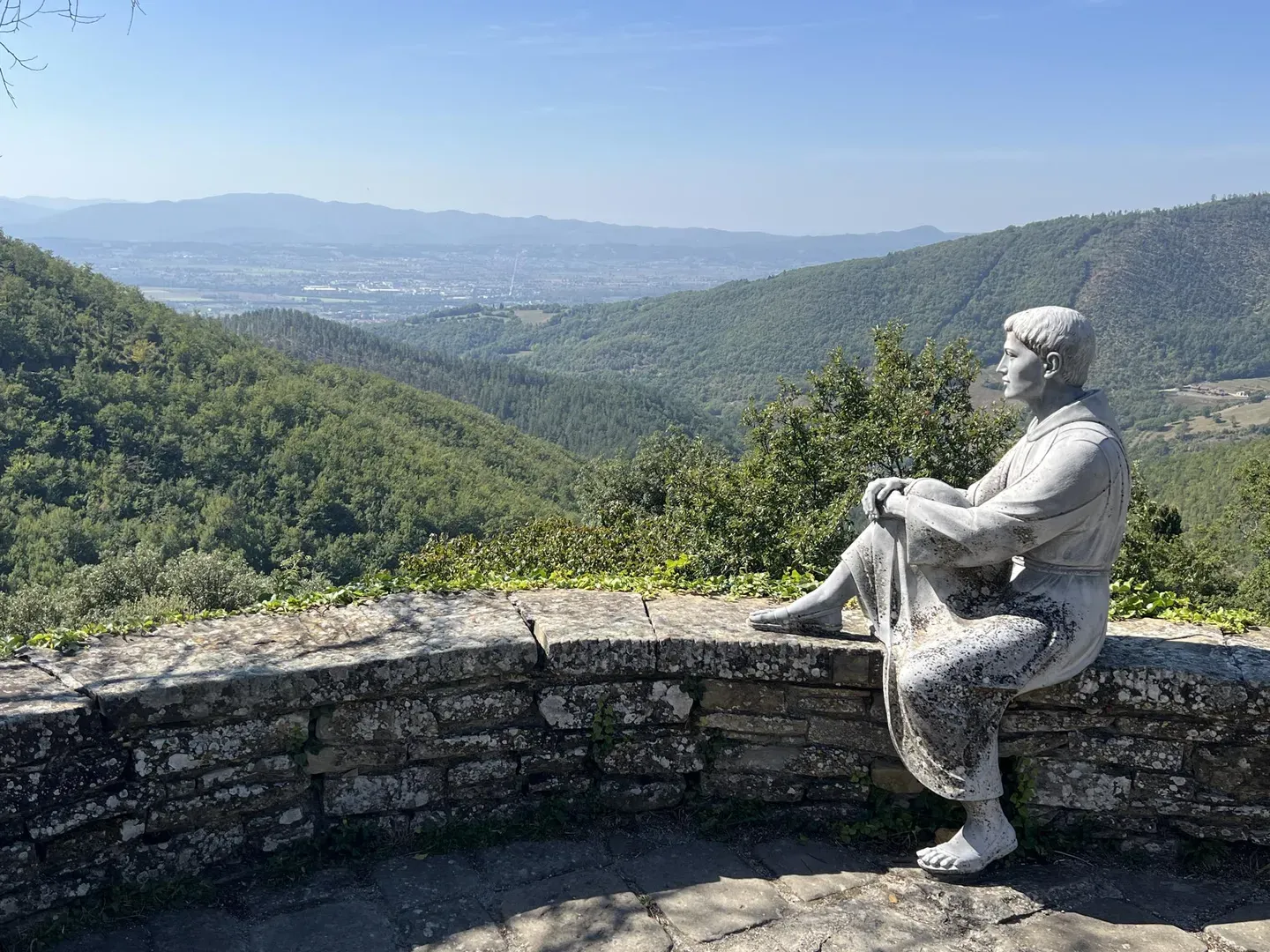
Way of St Francis in Tuscany – itineraries of Arezzo and Province
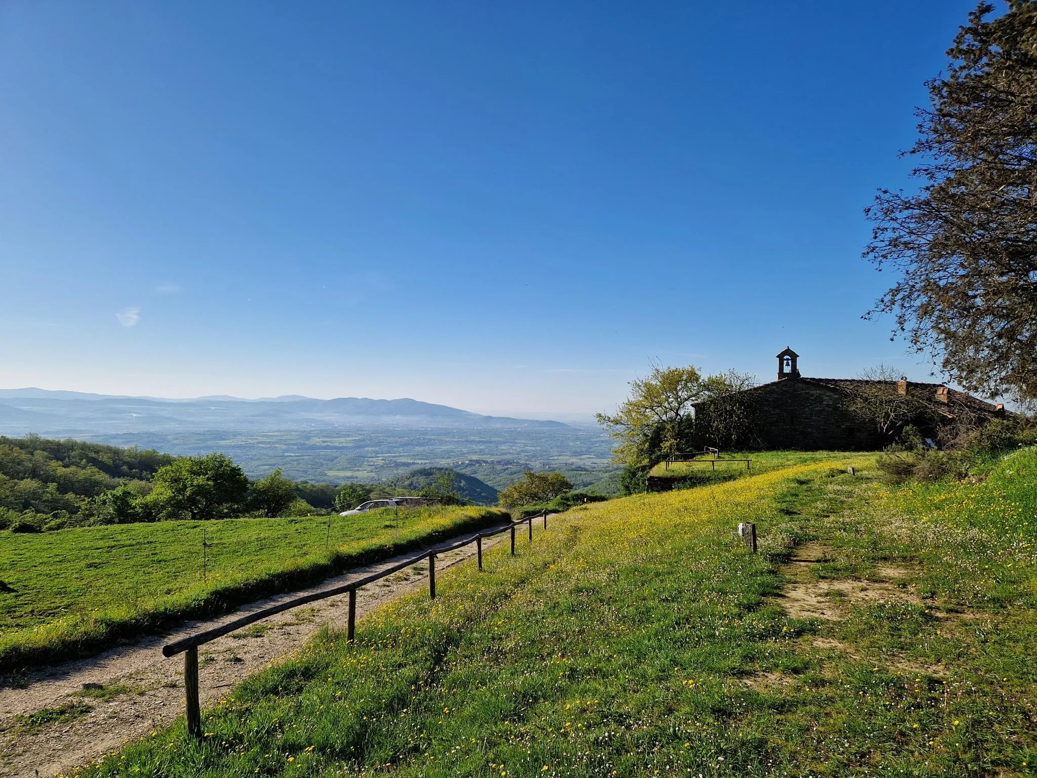
Arezzo and its valleys – between Tuscany’s art, vineyards and villages
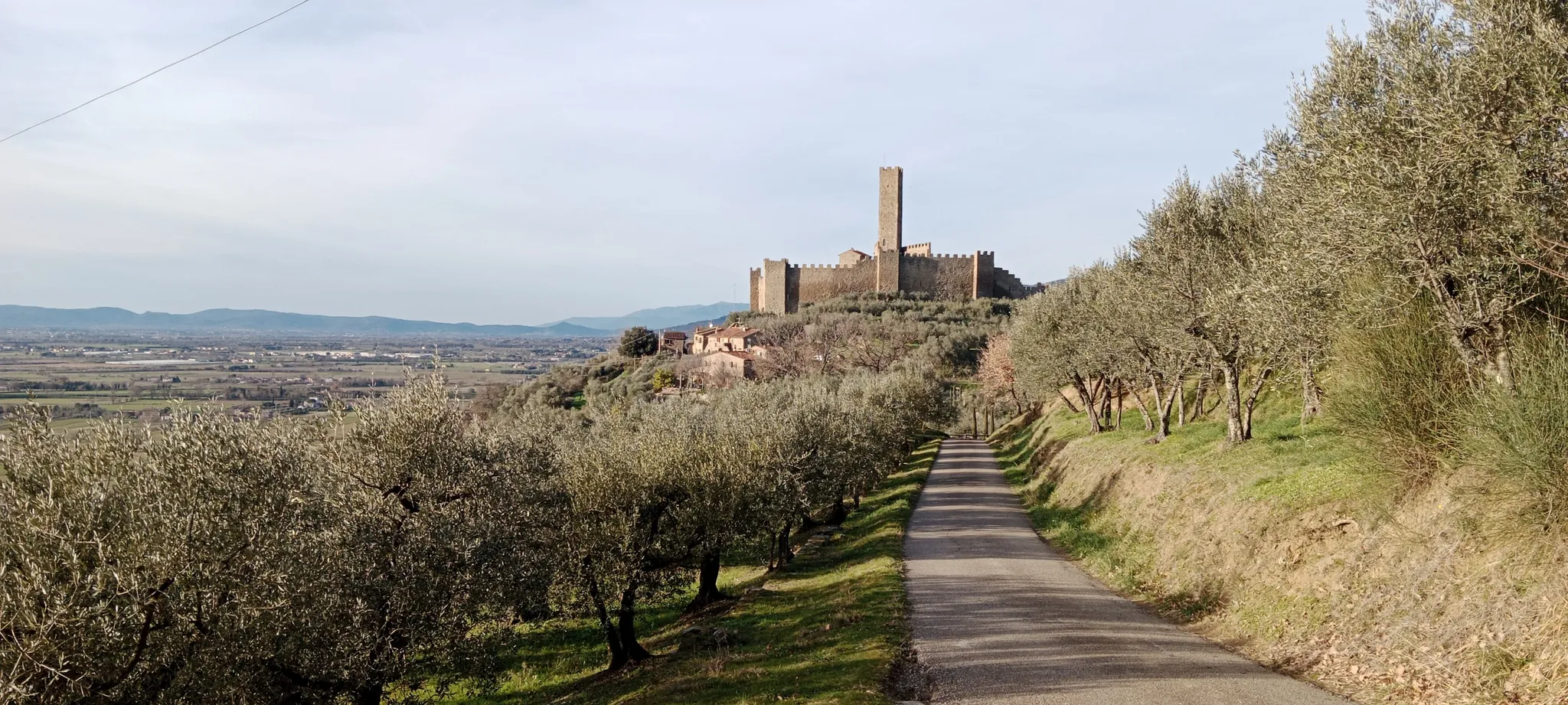
Terre di Arezzo by e-bike – between art and nature in Tuscany
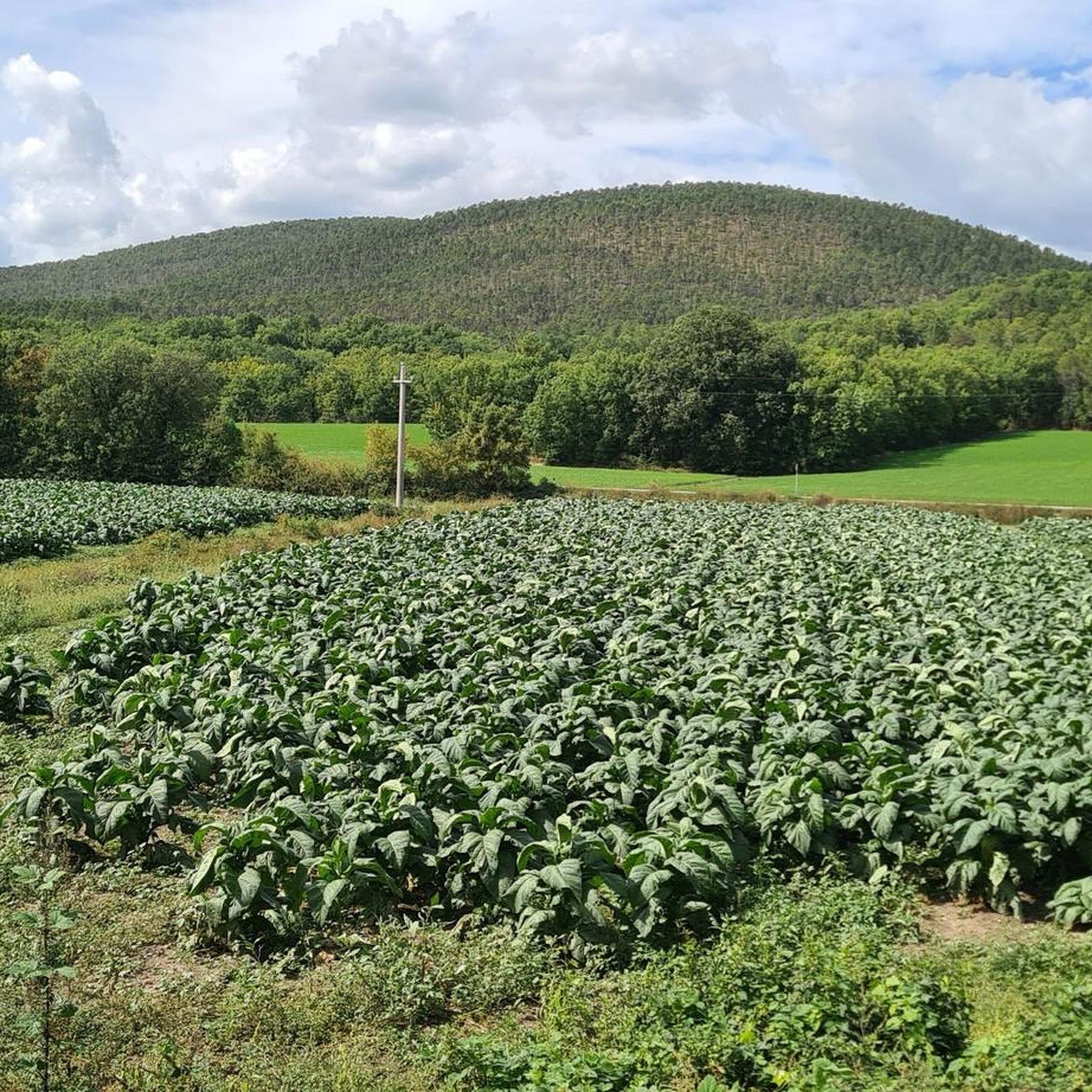
Road Cycling Routes around Anghiari
Cycling around Anghiari
MTB Trails around Anghiari

Gravel biking around Anghiari
Running Trails around Anghiari
Other adventures around Anghiari

Tips from the Community


Ristoro dell'Intrepida 2025, chestnuts, period costumes, and music
0
0
Piazza Baldaccio, the start and finish of the Intrepida, a historic cycling event held in Anghiari in October.
0
0

A beautiful climb to be tackled calmly
0
0
Worth a visit among the alleys of the historic center!!
0
0


The castle of Galbino is located near Anghiari, in the province of Arezzo. Dating back to around the 11th century, it was modified by the Barbolani counts of Montauto.
0
0
Frequently Asked Questions
How many hiking trails are available around Anghiari?
There are over 30 hiking trails around Anghiari, offering a wide range of options for exploring the diverse landscapes of the Upper Tiber Valley and the Monti Rognosi Natural Reserve.
What kind of hiking difficulty levels can I expect around Anghiari?
Anghiari offers a variety of trails suitable for different fitness levels. You'll find 14 easy routes perfect for a leisurely stroll, 16 moderate trails for those seeking a bit more challenge, and 1 difficult route for experienced hikers looking for a demanding adventure.
Are there any family-friendly hiking options near Anghiari?
Yes, Anghiari has several easy trails suitable for families. For example, the View of Montone loop from Anghiari is an easy 2.8-mile (4.5 km) route that offers pleasant views of the countryside and takes just over an hour to complete, making it ideal for a family outing.
Can I bring my dog on the hiking trails around Anghiari?
Many trails around Anghiari are dog-friendly, allowing you to enjoy the beautiful Tuscan landscape with your canine companion. Always ensure your dog is under control, and check for any specific local regulations or signage on individual routes.
Are there any circular hiking routes in the Anghiari area?
Yes, many of the trails around Anghiari are circular, providing convenient starting and ending points. A popular option is the Bivignano Ghost Village – Belvedere Viewpoint loop from Arcobaleno, an easy 4.0-mile (6.4 km) path that takes you through varied terrain, including a ghost village and a scenic viewpoint.
What are some notable natural features or attractions I can see while hiking?
The region boasts the unique Monti Rognosi Natural Reserve, characterized by its distinctive green and black magmatic rocks. You can also enjoy breathtaking views of the Upper Tiber Valley, rolling hills with vineyards and olive groves, and even the artificial Lake Montedoglio, Tuscany's largest lake. For a historical touch, explore the Valle Historic Complex.
Are there any historical sites or landmarks to explore on the trails?
Absolutely. The area is rich in history. You can hike past historic sites like the Valle Historic Complex or explore routes connected to the Way of St. Francis, which pass by significant Franciscan sites such as the Montecasale Hermitage. The Villa La Barbolana – Church of Gello loop from Scheggia also leads past historic villas and churches.
What is the best time of year for hiking around Anghiari?
Spring and autumn are generally considered the best times for hiking in Anghiari. The weather is mild, and the landscapes are particularly beautiful, with blooming wildflowers in spring and vibrant foliage in autumn. Summer can be hot, especially at midday, while winter offers a different, often quieter, experience.
Where can I park when accessing hiking trails near Anghiari?
Parking is generally available in and around Anghiari, particularly near trailheads or in the town center. For routes starting outside the main town, such as the Villa La Barbolana – Church of Gello loop from Scheggia, you can often find parking in the nearby villages or designated areas.
What do other hikers enjoy most about hiking in Anghiari?
The hiking trails around Anghiari are highly rated by the komoot community, with an average score of 4.4 stars from nearly 400 reviews. Hikers often praise the diverse landscapes, from rugged natural reserves to rolling hills, and the opportunity to combine nature with rich history and charming medieval villages.
Are there any challenging hikes for experienced trekkers?
Yes, for those seeking a more strenuous adventure, there is at least one difficult route available. These trails typically involve significant elevation gain and require good fitness and sure-footedness, often lasting over five hours, allowing for a deep immersion into the more rugged parts of the landscape.
Can I combine hiking with exploring the town of Anghiari itself?
Absolutely! The historic center of Anghiari is a destination in itself. Its narrow streets, ancient walls, and elevated position offer panoramic viewpoints, such as from the straight line cutting through the historic center near Garibaldi. Exploring the well-preserved medieval village is a perfect complement to a day of hiking.
Are there any trails that offer views of the town of Anghiari?
Yes, some trails provide excellent vantage points of the medieval town. The View of Anghiari loop from Anghiari is a moderate 8.7-mile (14.0 km) route that offers stunning views of Anghiari and the surrounding Upper Tiber Valley.
Most popular attractions around Anghiari

Get inspired with the komoot mobile app


Explore more
Browse the best Hikes in other regions.
