The best running trails around Ortignano Raggiolo
4.4
(22)
948
runners
92
runs
Jogging around Ortignano Raggiolo offers diverse natural landscapes within the Casentino Valley, characterized by dense forests, rolling hills, and river valleys. The region features varying elevations, from gentle inclines to more challenging ascents, providing a range of running experiences. Situated near the Apennine Mountains and traversed by the Teggina stream, the area provides scenic paths through natural environments. This setting makes Ortignano Raggiolo an ideal location for exploring a network of running routes.
Best jogging routes around Ortignano Raggiolo
- The…
Last updated: June 29, 2026
5.0
(3)
35
runners
8.33km
00:56
30m
30m
Moderate run. Good fitness required. Mostly paved surfaces. Suitable for all skill levels.
4.0
(1)
63
runners
9.88km
01:04
20m
20m
Moderate run. Good fitness required. Mostly paved surfaces. Suitable for all skill levels.

Sign up for free
16
runners
15.6km
01:40
150m
150m
Hard run. Very good fitness required. Mostly paved surfaces. Suitable for all skill levels.
9
runners
Hard run. Very good fitness required. Sure-footedness, sturdy shoes and alpine experience required.
10
runners
13.7km
01:28
170m
170m
Moderate run. Good fitness required. Mostly paved surfaces. Suitable for all skill levels.
Get access to more routes and recommendations from other explorers.
Sign up for free
Already have an account?
Our route recommendations are based on thousands of hikes, rides, and runs completed by other people on komoot.
Start today with a free account
Your next adventure awaits.
Login or Signup

Tips from the Community

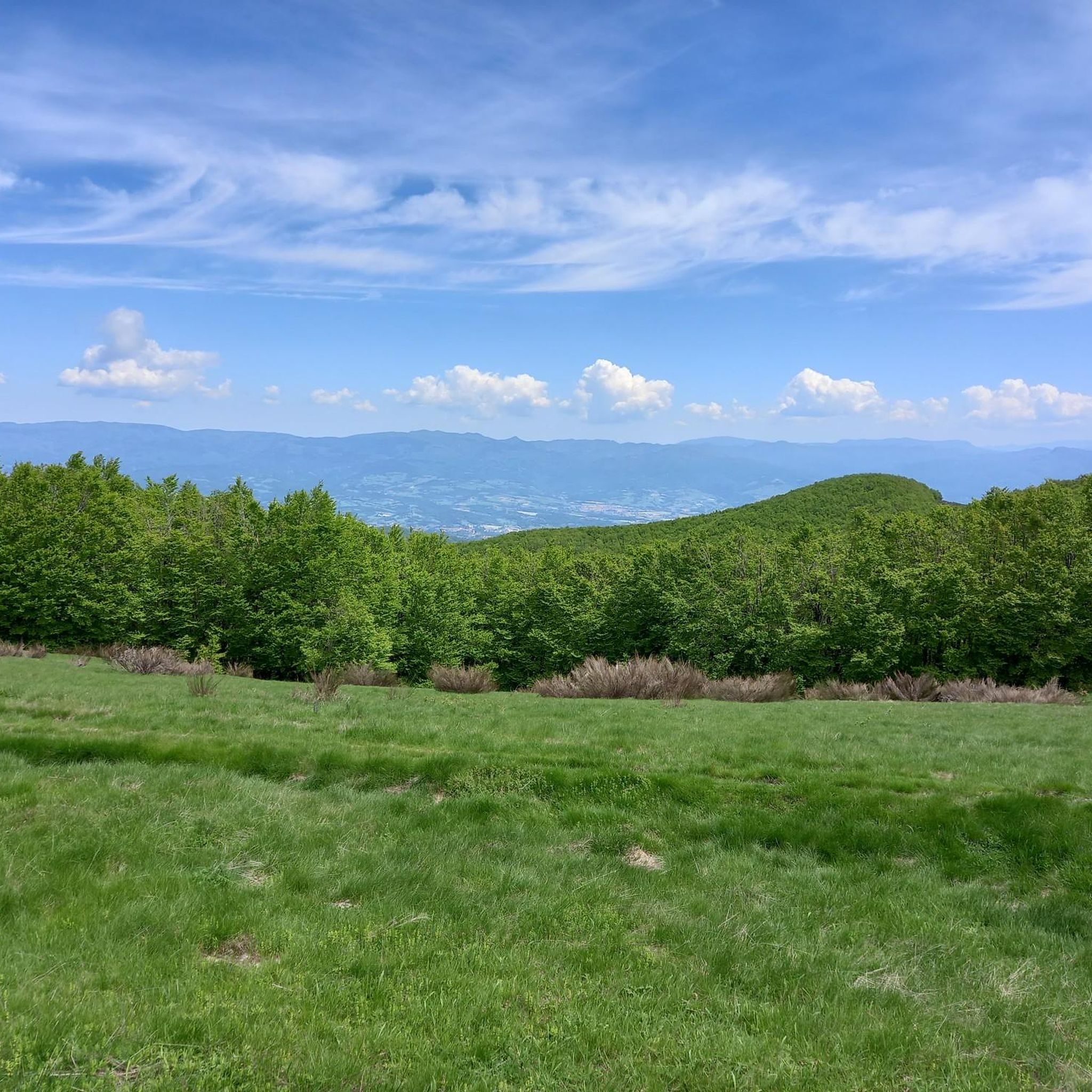
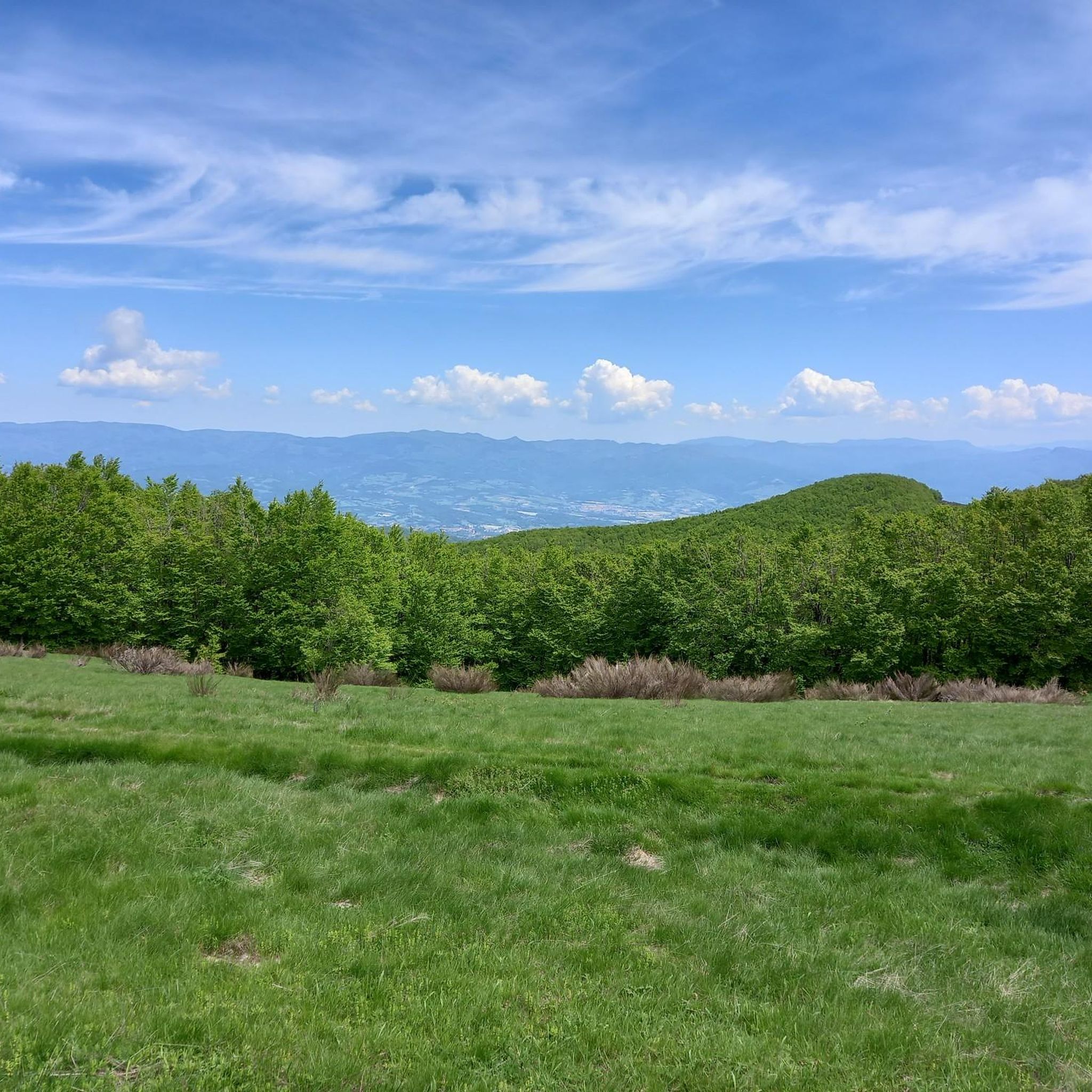
Varco ai Gioghi is a high-altitude pass that marks a natural passage along an exposed mountain ridge. The landscape is characterized by wide summit meadows alternating with dense beech forests, offering open and airy views of the surrounding valleys.
0
0

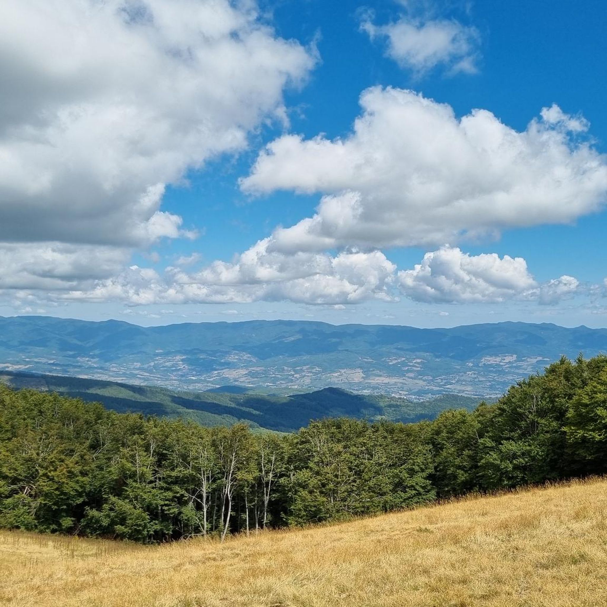
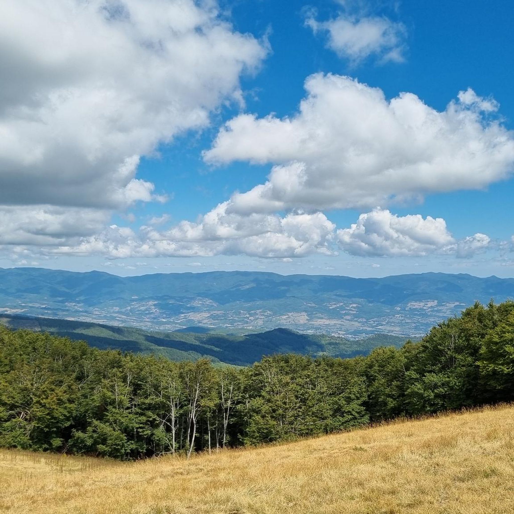
Situated at 1,592 meters above sea level, this imposing iron cross dominates the Pratomagno massif, offering spectacular 360° views spanning the Casentino, Valdarno, and the entire Tuscan Apennines. It's the iconic finish line of every climb, reached by traveling the spectacular panoramic roads that run along the mountain's ridge.
0
0

Alas... to reach the Pratomagno cross, you have to earn it. The more effort, the more satisfaction... at least for me.
0
0

With a tunnel under a hiking trail 😉
0
0

Proper bike paths are rare, but this one is good and leads south from Poppi, always along the Arno River. It has a firm surface and is easy to ride.
1
0

Easy route along the ridge. Be careful though, with some steep and bumpy descents and climbs. Recommended if done after dinner, a light jacket or k-way.
0
0

The Arno cycle route is a cycle path project to connect the source of the river with its mouth. The stretch between Rassina and Stia is almost 30 kilometers long and allows you to cycle immersed in nature and greenery, always accompanied by the waters of the river. The track is dirt but it is a beaten gravel and allows you to pedal with any bicycle.
3
0

Very windy route, organize yourself with appropriate clothing.
2
1
Frequently Asked Questions
How many running routes are available around Ortignano Raggiolo?
There are over 70 running routes in the Ortignano Raggiolo area, offering a wide variety of experiences for joggers of all levels. These routes traverse dense forests, rolling hills, and river valleys within the beautiful Casentino Valley.
What are the typical difficulty levels for running trails in Ortignano Raggiolo?
The running trails around Ortignano Raggiolo offer a mix of challenges. You'll find approximately 39 moderate routes and 32 difficult routes. This variety ensures options for both casual jogs and more strenuous runs with significant elevation changes.
What do other runners enjoy most about the trails in Ortignano Raggiolo?
The running routes in Ortignano Raggiolo are highly rated by the komoot community, with an average score of 4.25 stars from 9 reviews. Over 500 runners have explored the area, often praising the diverse terrain, scenic landscapes, and the tranquil atmosphere of the Casentino Valley.
Are there any family-friendly jogging routes in the area?
While specific 'family-friendly' routes are not explicitly categorized, many of the moderate trails through the dense chestnut forests and along river paths offer gentler inclines suitable for families. The region's extensive network of hiking and cycling trails can often be adapted for a leisurely family run.
Can I bring my dog on the running trails around Ortignano Raggiolo?
Yes, the natural landscapes around Ortignano Raggiolo, including the Casentino National Park and its numerous trails, are generally dog-friendly. Always ensure your dog is under control, and check for any specific local regulations, especially within protected areas.
Are there any circular running routes available?
Yes, many of the routes in the area are designed as loops. For example, the Monte Pianellaccio – Croce del Pratomagno loop from Cetica is a challenging 15.8 km circular route that offers significant elevation gain and rewarding views.
What kind of natural landscapes will I encounter on a run in Ortignano Raggiolo?
You'll experience a rich variety of natural landscapes, including lush, dense chestnut forests, rolling hills with varying elevations, and scenic paths along the Teggina stream. The region is nestled within the beautiful Casentino Valley, offering panoramic views of the Apennine Mountains.
Are there any historical or cultural points of interest along the running routes?
Yes, the area is rich in history. You might encounter the charming medieval old town of Ortignano Raggiolo itself, with its ancient stone buildings. For a cultural experience, jogging through the pervasive chestnut forests connects you to the local heritage, with the Chestnut Museum in Raggiolo detailing its historical significance. You can also find historical structures like the Castello di Romena or the Castle of the Guidi Counts in Poppi nearby.
Where can I find parking when accessing running trails in Ortignano Raggiolo?
Parking is generally available in and around the villages like Ortignano Raggiolo and Bibbiena, which serve as common starting points for many trails. Specific parking details often depend on the individual trailhead, but village centers usually offer public parking options.
Is public transport available to reach the running trailheads?
While Ortignano Raggiolo is a more rural area, local bus services connect it to larger towns in the Casentino Valley, such as Bibbiena. From these towns, you can often access various trailheads. However, for direct access to many routes, a car is often the most convenient option.
Are there any huts or shelters along the running routes?
Yes, for longer runs or in case of unexpected weather, there are huts and shelters in the broader area. Notable examples include the Secchieta Hut and the Guards' Hut Bivouac, which can provide a resting point or emergency shelter.
What is a good running route for a challenging experience?
For a challenging run, consider the Arno River Cycle Path loop from Bibbiena. This 16.1 km (10.0 miles) trail is rated as difficult and offers a substantial workout through the Arno River valley.
Are there any running routes that offer views of the Arno River?
Yes, routes like the Arno River Cycle Path loop from Bibbiena specifically lead through the Arno River valley, providing scenic views of the river and its surroundings.
Most popular routes around Ortignano Raggiolo
Most popular attractions around Ortignano Raggiolo

Get inspired with the komoot mobile app


Explore more
Browse the best Running Trails & Routes in other regions.
