The best cycling routes around Monterotondo Marittimo
4.5
(504)
6,733
riders
13
rides
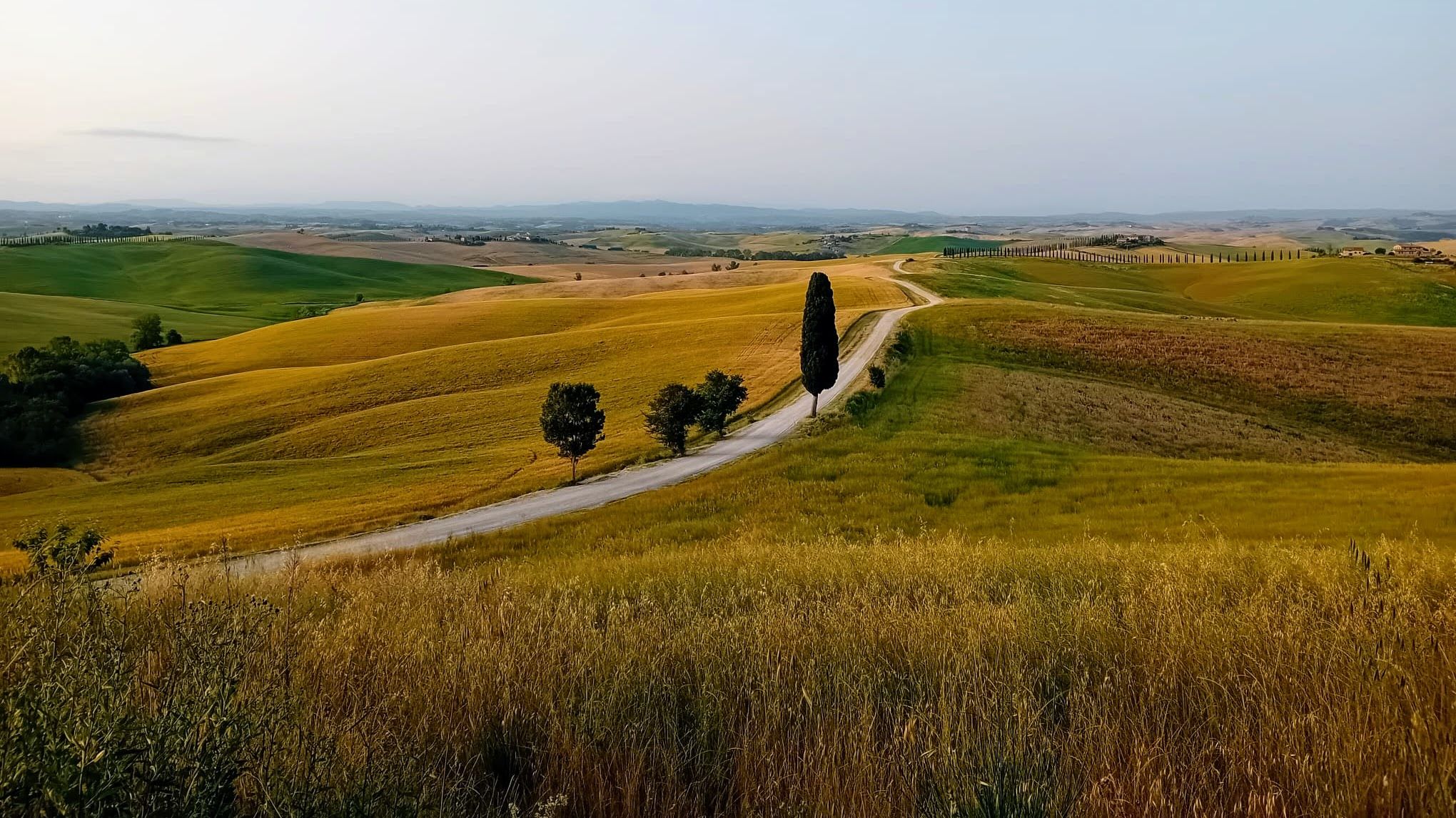
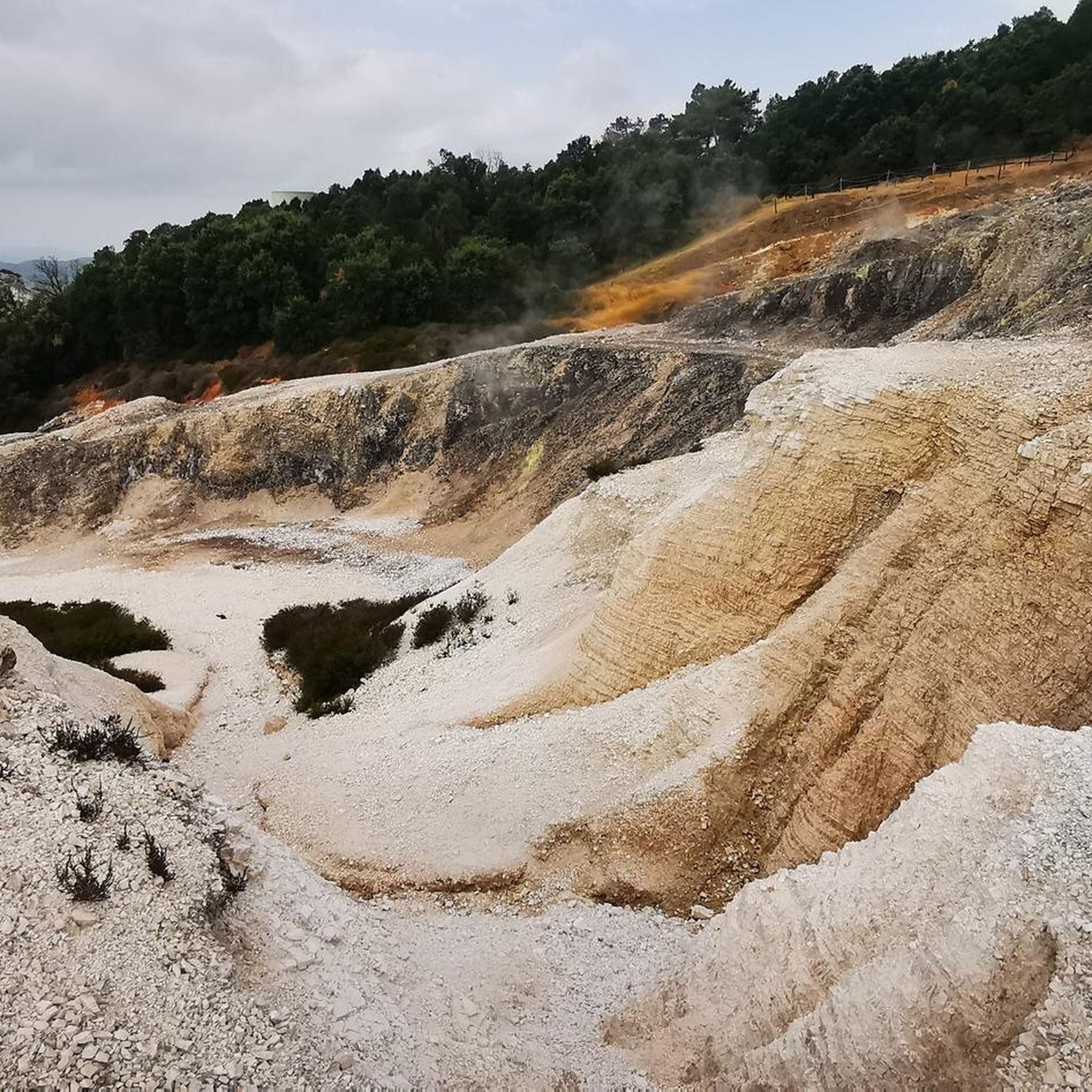
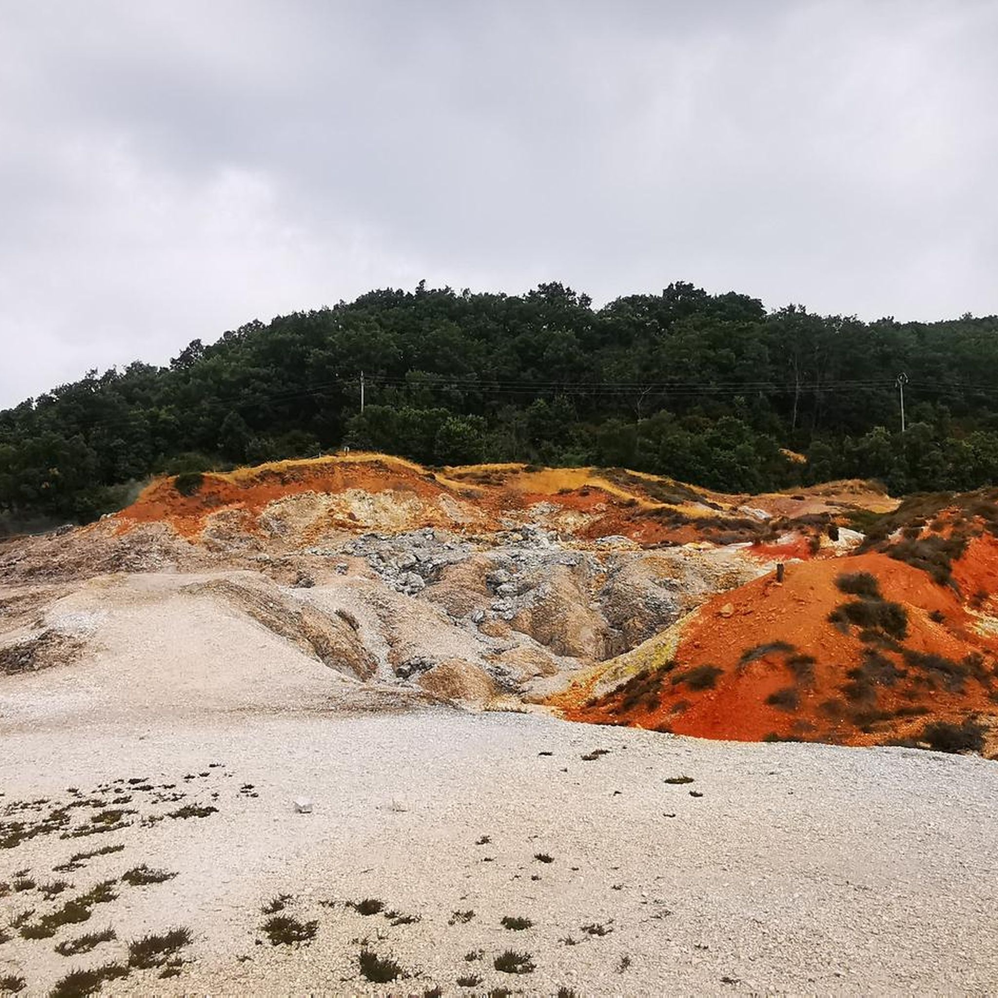
Touring cycling routes around Monterotondo Marittimo traverse a landscape characterized by the mountainous Metalliferous Hills, dense pine forests, and Mediterranean shrubland. The region features unique geothermal activity, including fumaroles, creating a distinctive terrain in areas like the Geothermal Natural Park Biancane. Cyclists will also encounter ancient olive groves and vineyards, forming part of the Monteregio Wine Trail.
Best touring cycling routes around Monterotondo Marittimo
- The most popular touring cycling route is Geothermal Maremma Loop from Monterotondo Marittimo, a 17.3…
Last updated: August 27, 2026
5.0
(1)
7
riders
27.9km
02:06
640m
640m
Hard bike ride. Very good fitness required. Mostly paved surfaces. Suitable for all skill levels.
4.5
(6)
86
riders
72.7km
04:34
680m
680m
Hard bike ride. Very good fitness required. Mostly paved surfaces. Suitable for all skill levels.

Sign up for free
4.8
(8)
118
riders
58.1km
03:49
760m
760m
Hard bike ride. Very good fitness required. Mostly paved surfaces. Suitable for all skill levels.
4.6
(7)
54
riders
62.1km
04:18
890m
890m
Hard bike ride. Very good fitness required. Mostly paved surfaces. Suitable for all skill levels.
5.0
(1)
17
riders
Hard bike ride. Very good fitness required. Mostly paved surfaces. Suitable for all skill levels.
Get access to more routes and recommendations from other explorers.
Sign up for free
Already have an account?
Our route recommendations are based on thousands of hikes, rides, and runs completed by other people on komoot.
Start today with a free account
Your next adventure awaits.
Login or Signup
Popular around Monterotondo Marittimo
Other adventures around Monterotondo Marittimo

Tips from the Community

From Castagneto Carducci, a medieval village perched on the hills of the Etruscan Coast, the view spans an extraordinary panorama encompassing the Tuscan countryside, the pine forest, and the Ligurian and Tyrrhenian Seas. On clear days, the horizon opens up to reveal the islands of the Tuscan Archipelago and even the coasts of Corsica.
0
0
The branch for Valpiana from the Strada della Marsiliana is a secondary road link immersed in the countryside of Massa Marittima, highly appreciated for cycling routes
0
0

Sassetta is a small and authentic medieval village perched in the hinterland of the Etruscan Coast, in the province of Livorno, in the heart of the Val di Cornia. Inhabited by about 400 people, this village is distinguished by its stone houses, the tradition of old charcoal burners, and the presence of the characteristic red marble.
1
0
Sasso Pisano is one of the most fascinating destinations in the Devil's Valley in Tuscany, famous for its extraordinary natural geothermal manifestations, thermal waters, and characteristic medieval village.
0
0
The view of the Gulf of Baratti from the Castle of Populonia represents one of the most iconic and evocative panoramas of the entire Etruscan Coast, in Tuscany. The medieval fortress dominates the promontory from above, offering a unique contrast between the dense pine forest, the dark sand of the gulf, and the blue of the crystal-clear sea.
0
0

Beer and food! And the brewery is right inside the venue.
0
0
The Archaeological Museum is housed in the ancient Palazzo del Podestà (1225), which overlooks the Piazza del Duomo of Massa Marittima. The collection is organized into sections, ordered chronologically from the lower paleolithic to the etruscan age; the main piece of the prehistoric collection is the eneolithic statue-stele of Vado all’Arancio, the only find of its type in Maremma; the etruscan finds come mainly from excavations carried out at the village of Lago dell’Accesa, they are mainly kitchenware, loom weights, fishing weights and bricks; also present are the funerary trousseaux found in the necropolises, especially pottery (figulina clay and bucchero), bronze fibulae, iron pot stands, iron and bronze weapons. On the ground floor, an educational section is set up with a life-size reconstruction of typical caves: a paleolithic and an eneolithic one. Guided tours and educational activities, organization of cultural events and film screenings are available.
1
0

Populonia Alta: Don't miss a visit to this small village for its castle and beautiful views. It's a challenging climb, but the effort is well worth it.
0
0
Frequently Asked Questions
How many touring cycling routes are available around Monterotondo Marittimo?
There are over 10 touring cycling routes around Monterotondo Marittimo, catering to various skill levels. The majority of these routes are classified as moderate or difficult, offering a good challenge for experienced cyclists.
What kind of landscapes can I expect to see while cycling around Monterotondo Marittimo?
Touring cycling routes in Monterotondo Marittimo traverse diverse landscapes, including the mountainous Metalliferous Hills, dense pine forests, and Mediterranean shrubland. You'll also encounter ancient olive groves and vineyards, forming part of the Monteregio Wine Trail.
Are there any unique natural features to explore on the touring routes?
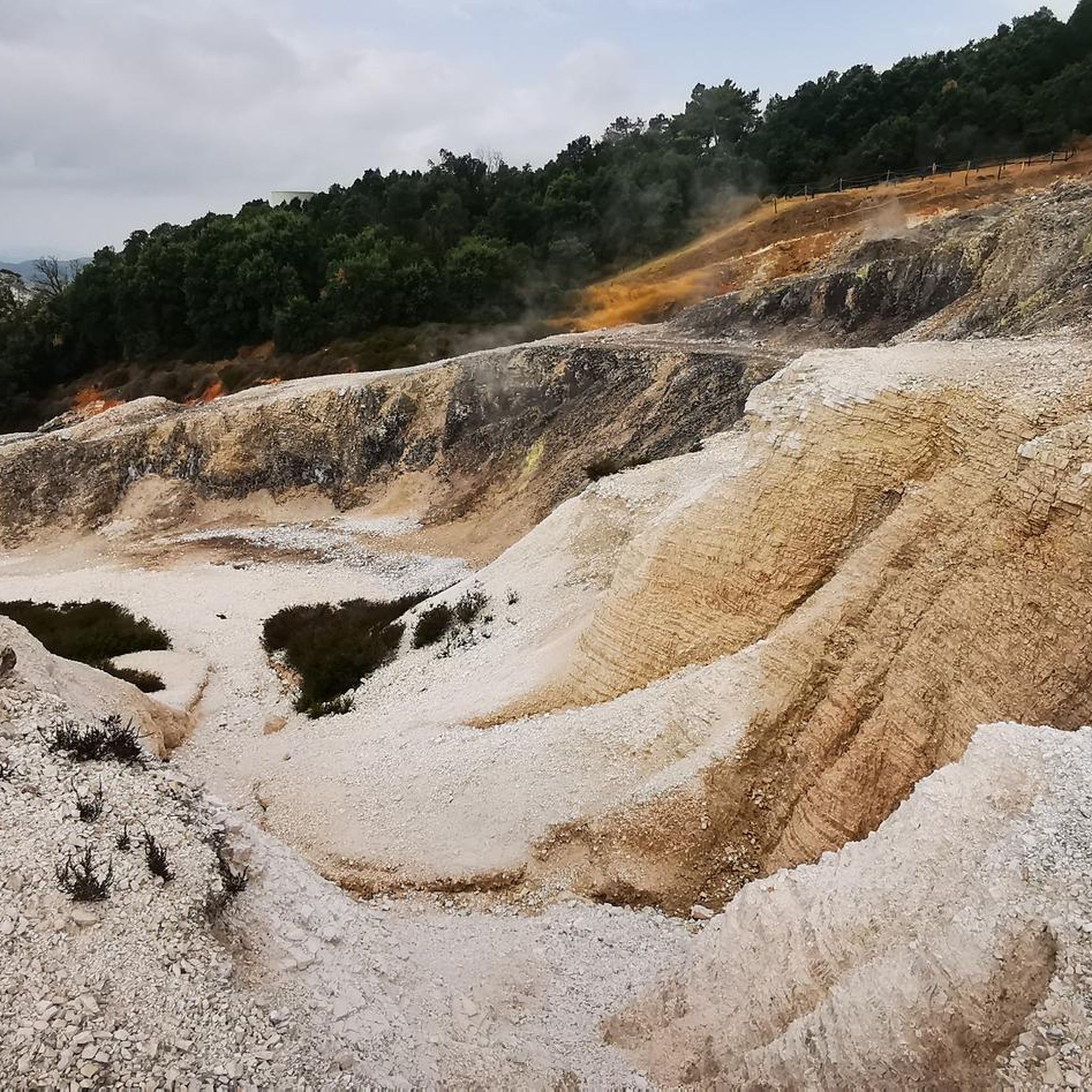
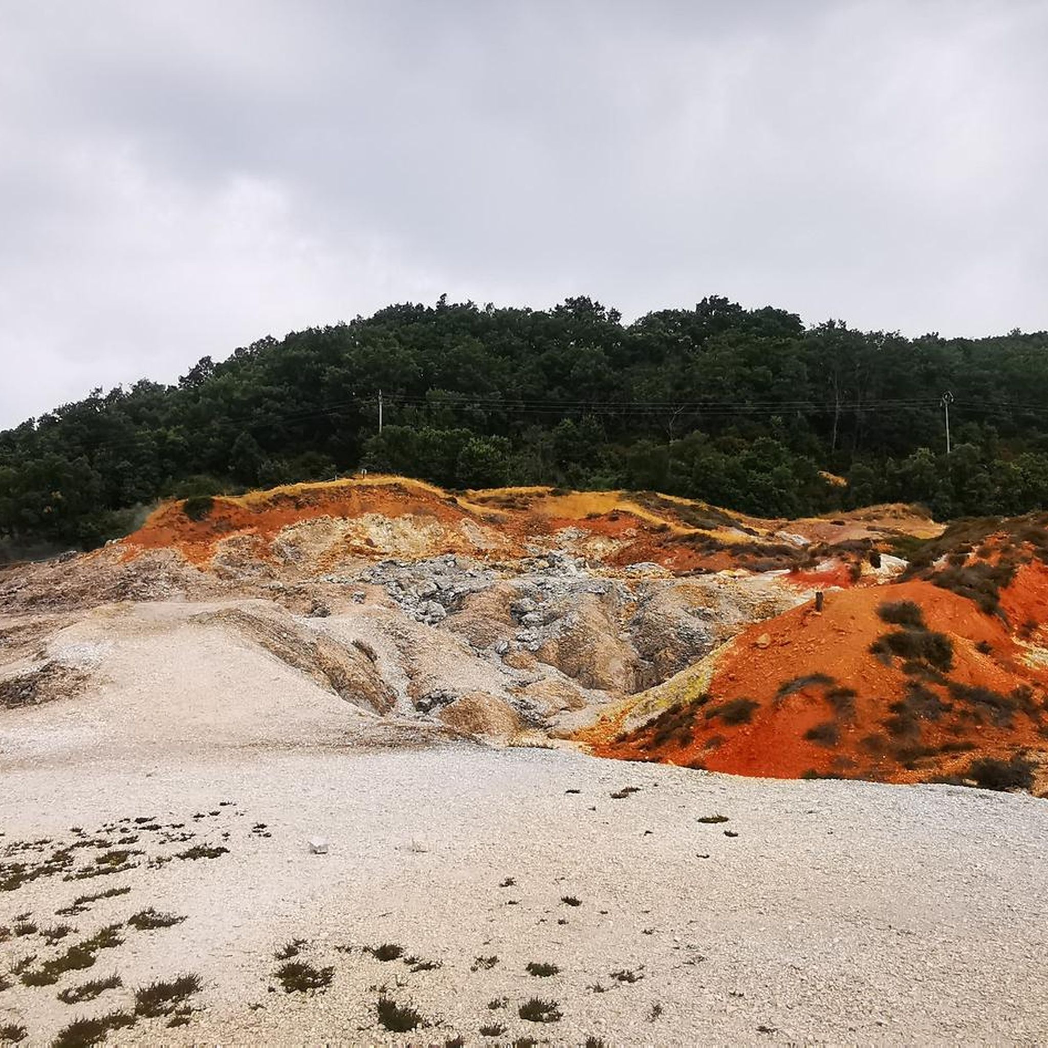
Yes, the region is famous for its distinctive geothermal activity. You can experience a unique, almost 'lunar' terrain with fumaroles and geysers in areas like the Biancane Nature Park or Le Biancane Geothermal Park. You might also encounter Fumaroles in Valle del Diavolo.
What historical or cultural landmarks can I visit along the touring cycling routes?
Monterotondo Marittimo itself is a picturesque medieval town with ancient walls and the Rocca degli Alberti fortress. Routes often connect to other historic villages like Massa Marittima, known for its Piazza Garibaldi and Cathedral of San Cerbone. You can also explore the Tatti Village – Montieri Village Center loop from Monterotondo Marittimo, which passes through charming settlements.
Are there any specific natural attractions or viewpoints worth seeing?
Beyond the geothermal areas, you can find serene spots like the Pond in the Monterotondo Marittimo Geothermal Area or the Lago di Accesa. The Vapori di Birra Brewery – View of Sasso Pisano loop from Monterotondo Marittimo offers views towards Sasso Pisano, and the Historic Village of Sassetta – View of Sassetta loop from Frassine provides scenic vistas of the Tuscan Hills.
What is the best time of year to go touring cycling in Monterotondo Marittimo?
The region offers good cycling conditions for much of the year. Spring and autumn generally provide the most pleasant temperatures for touring, avoiding the peak heat of summer while still enjoying the natural beauty of the area.
Are there any circular touring cycling routes available?
Yes, many of the touring cycling routes around Monterotondo Marittimo are designed as loops. Examples include the popular Geothermal Maremma Loop from Monterotondo Marittimo and the Avenue of Pines – Viale dei Pini loop from Frassine.
Is it possible to access touring cycling routes using public transport?
While Monterotondo Marittimo is a medieval town, public transport options for directly accessing trailheads might be limited. It's advisable to check local bus schedules if you plan to rely on public transport, though many routes start directly from the town or nearby villages.
Where can I park my car when starting a touring cycling route?
Parking is generally available in Monterotondo Marittimo and the surrounding villages where routes often begin. Look for designated parking areas within the towns, especially near trail centers or main squares, to ensure convenient access to your chosen route.
What do other touring cyclists enjoy the most about touring cycling in Monterotondo Marittimo?
The area is highly rated by the komoot community, with an average score of 4.4 stars from over 200 reviews. Cyclists frequently praise the unique geothermal landscapes, the challenging yet rewarding climbs through pine forests, and the opportunity to explore charming medieval villages.
Are there options for less experienced touring cyclists?
While many routes are classified as difficult, there are also moderate options available. These routes still offer significant elevation changes typical of the Metalliferous Hills but might cover shorter distances or have less steep gradients, making them more approachable for those building their fitness.
Can I find places to eat or drink along the touring routes?
Yes, many routes pass through or near villages where you can find cafes, restaurants, and local shops. The region is also known for its Monteregio Wine Trail, offering opportunities to discover local produce and culinary delights. Some routes, like the Vapori di Birra Brewery – View of Sasso Pisano loop from Monterotondo Marittimo, even highlight specific establishments.
Most popular routes around Monterotondo Marittimo
Most popular attractions around Monterotondo Marittimo

Get inspired with the komoot mobile app


Explore more
Browse the best Cycling routes in other regions.
