The best road cycling routes around Spraitbach
4.5
(492)
6,341
riders
12
rides
Road cycling around Spraitbach offers varied terrain within the Swabian Forest, characterized by its elevated position. The region features a mix of river valleys, such as the Lein and Kocher, alongside challenging ascents that provide views of the Ostalb and Drei-Kaiser-Berge. Cyclists can explore routes that pass by several reservoirs and wind through dense forests and open meadows. This diverse landscape provides a compelling backdrop for road cycling routes in Spraitbach.
Best road cycling routes around Spraitbach
- The most popular…
Last updated: July 6, 2026
31
riders
46.8km
02:14
640m
640m
Moderate road ride. Good fitness required. Mostly well-paved surfaces and easy to ride.
5.0
(2)
15
riders
Moderate road ride. Good fitness required. Mostly well-paved surfaces and easy to ride.

Sign up for free
10
riders
Hard road ride. Very good fitness required. Mostly well-paved surfaces and easy to ride.
3.5
(2)
10
riders
Moderate road ride. Good fitness required. Mostly well-paved surfaces and easy to ride.
5.0
(1)
6
riders
80.2km
03:49
940m
940m
Hard road ride. Very good fitness required. Mostly well-paved surfaces and easy to ride.
Get access to more routes and recommendations from other explorers.
Sign up for free
Already have an account?
Our route recommendations are based on thousands of hikes, rides, and runs completed by other people on komoot.
Start today with a free account
Your next adventure awaits.
Login or Signup
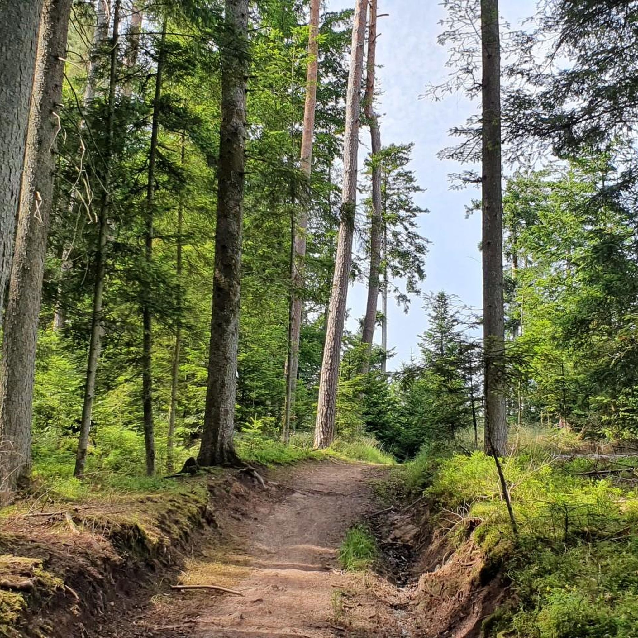
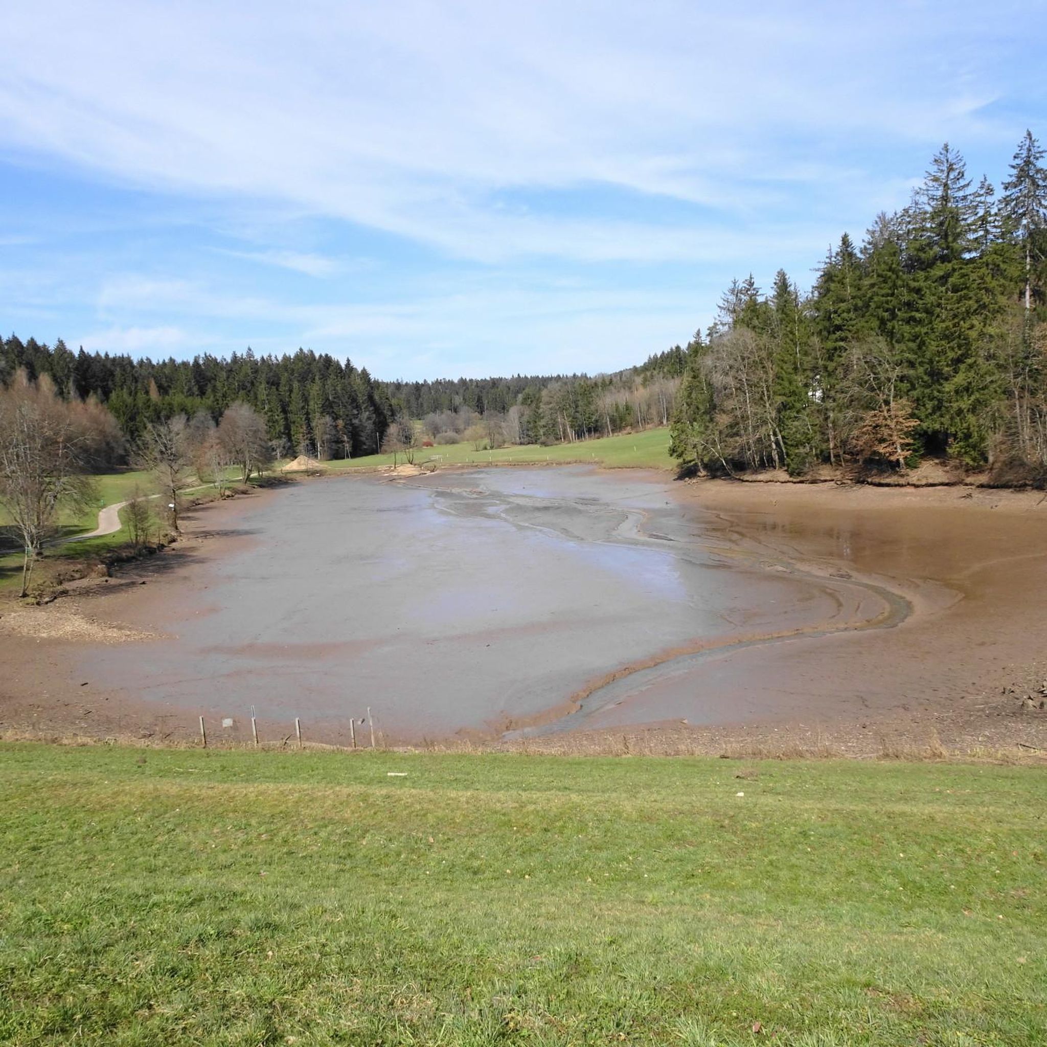
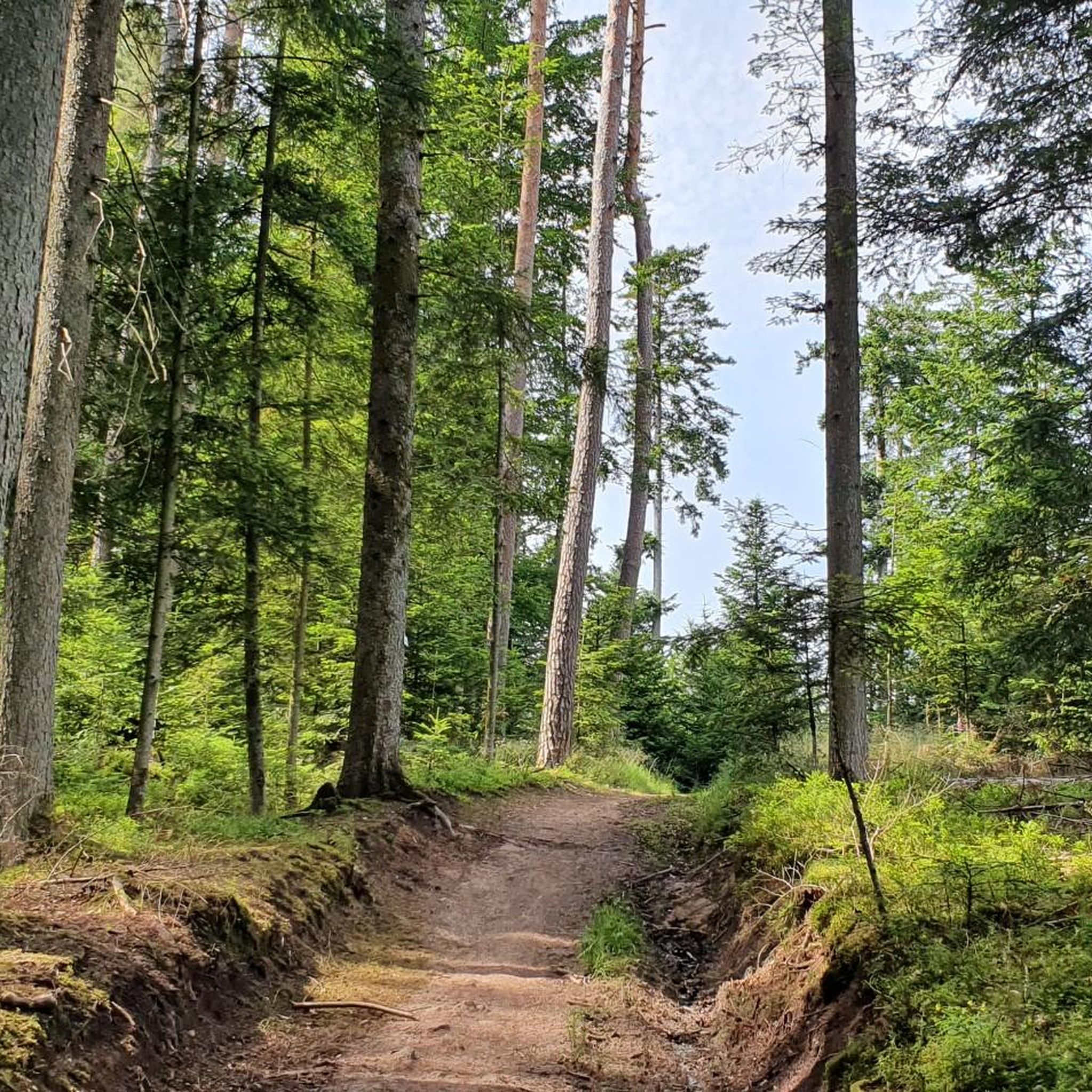
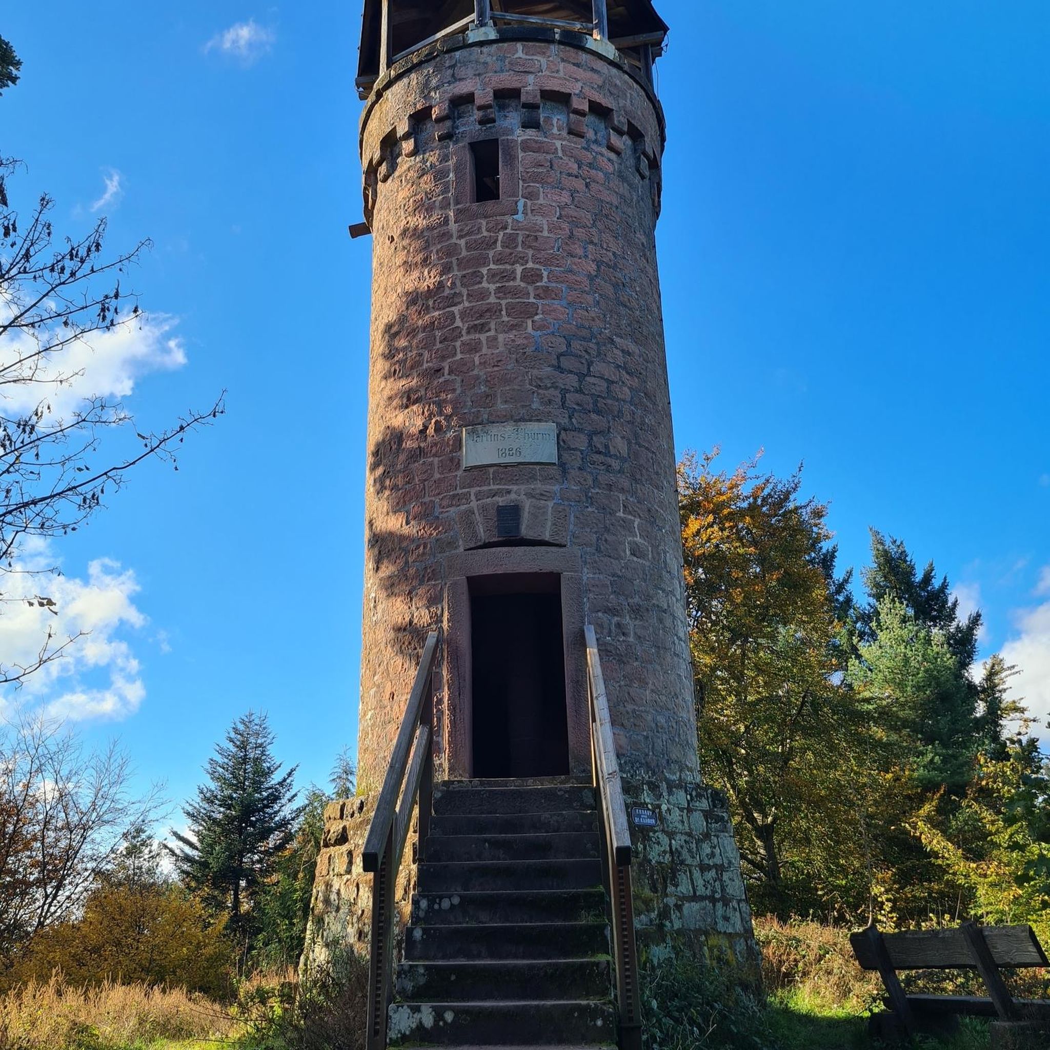
Tips from the Community

Here you can see the monastery Super
1
0

Newly paved road on the climb from Buchengehren to Wahlenheim. It's incredibly beautiful to drive now. It used to be a potholed track.
0
0

A large art market takes place there before Christmas.
2
1

Imposing Comburg which sits enthroned on the hill
2
0
From Steinbach via Kleincomburg, there's a steep climb. Chain on the left!
4
0
Beautiful nature along the Rot
1
0

Relaxed rolling towards the south on a very beautiful path.
0
0
Frequently Asked Questions
What kind of terrain can I expect on road cycling routes around Spraitbach?
The region around Spraitbach, situated in the Swabian Forest, offers a varied terrain. You'll find everything from gentle river valleys, such as the Lein and Kocher, to more challenging ascents that provide expansive views of the Ostalb and Drei-Kaiser-Berge. Many routes also wind through dense forests and open meadows.
Are there routes suitable for beginners or those looking for an easier ride?
Yes, Spraitbach offers routes for various skill levels. While many are moderate, there are at least 2 routes specifically categorized as easy. These typically feature less elevation gain and more gentle gradients, making them ideal for beginners or a relaxed ride.
Which routes offer the most challenging climbs or longer distances?
For those seeking a challenge, there are 3 routes categorized as difficult. One notable option is the Einkorn Hill and Ruins – Comburg Abbey loop from Spraitbach, which covers over 86 km and includes significant elevation changes, taking you to higher points like Einkorn Hill.
What natural features or scenic views can I expect to see along the routes?
Road cycling around Spraitbach is rich in natural beauty. You can expect to see diverse landscapes including the dense Welzheim Forest, the scenic Lein Valley, and several reservoirs like the Reichenbachstausee. Many routes offer magnificent panoramic views of the Ostalb and the distant Drei-Kaiser-Berge. You might also encounter charming streams and small waterfalls, particularly near areas like Vordersteinenberg.
Are there any historical or cultural landmarks to explore while cycling?
Yes, the region has several points of interest. For example, the Einkorn Hill and Ruins – Comburg Abbey loop from Spraitbach takes you past historical sites. You can also find various castles in the wider area, such as Leinzell Castle and Untergröningen Castle, which add a cultural dimension to your ride.
Are there any cafes or restaurants along the road cycling routes for a break?
Yes, you'll find options for refreshment. The
What do other road cyclists enjoy most about the routes in Spraitbach?
The routes in Spraitbach are highly rated by the komoot community, with an average score of 4.5 stars from over 400 reviews. Cyclists often praise the varied terrain, the beautiful views of the Swabian Forest, and the well-maintained paths that make for an enjoyable riding experience.
Are there any family-friendly road cycling options in the Spraitbach area?
The Spraitbach area offers diverse cycling experiences, including routes suitable for families. While specific 'family-friendly' road cycling routes aren't explicitly detailed, the region's network includes options for recreational cyclists, suggesting that some of the easier or moderate routes through valleys and along reservoirs could be suitable for families.
Can I find routes that are circular or loop back to the starting point?
Yes, many of the road cycling routes around Spraitbach are designed as loops. For instance, the popular Haselbachtal – Walkersbach Valley loop from Spraitbach and the View of Hohenstadt – Climb to Hohenstadt loop from Birkenlohe are both circular, bringing you back to your starting location.
Are there any specific routes that pass by lakes or reservoirs?
Yes, the region is known for its reservoirs. You can find routes that pass by the Reichenbachstausee, as well as other bodies of water like the Eisenbach, Täferroter, Götzenbach, and Rehnenmühle Reservoirs. The
What is the total number of road cycling routes available around Spraitbach?
There are over 10 road cycling routes available around Spraitbach, offering a good variety for different preferences and skill levels. These routes are well-documented on komoot, with many having been explored by thousands of cyclists.
Where can I find a good overview of the region's cycling network?
The region boasts an extensive network of trails, many of which are digitized and available through platforms like komoot. You can explore various routes that wind through forests, along rivers, and past scenic viewpoints, all accessible via the komoot app for easy navigation.
Most popular routes around Spraitbach
Most popular attractions around Spraitbach

Get inspired with the komoot mobile app


Explore more
Browse the best Road cycling routes in other regions.
