The best road cycling routes around Wegscheid
4.7
(38)
463
riders
51
rides
Road cycling routes around Wegscheid are characterized by varied terrain, including sections along the Danube River and through the Bavarian Forest. The region features rolling hills, significant elevation changes, and scenic views of lakes and historical sites. Road cyclists can expect a mix of challenging climbs and more moderate paths, with routes often traversing forested areas and open landscapes.
Best road cycling routes around Wegscheid
- The most popular road cycling route is View of Engelhartszell – Obernzell on the Danube…
Last updated: August 22, 2026
4.2
(17)
96
riders
61.2km
03:08
980m
980m
Hard road ride. Very good fitness required. Some segments of this route may be unpaved and difficult to ride.
4.5
(4)
74
riders
44.1km
02:02
480m
480m
Moderate road ride. Good fitness required. Mostly well-paved surfaces and easy to ride.

Sign up for free
4.0
(3)
26
riders
48.2km
02:29
850m
840m
Moderate road ride. Good fitness required. Mostly well-paved surfaces and easy to ride.
20
riders
33.5km
01:47
610m
610m
Moderate road ride. Good fitness required. Mostly well-paved surfaces and easy to ride.
4.5
(2)
20
riders
48.4km
02:32
910m
910m
Hard road ride. Very good fitness required. Mostly well-paved surfaces and easy to ride.
Get access to more routes and recommendations from other explorers.
Sign up for free
Already have an account?
Our route recommendations are based on thousands of hikes, rides, and runs completed by other people on komoot.
Start today with a free account
Your next adventure awaits.
Login or Signup
Popular around Wegscheid
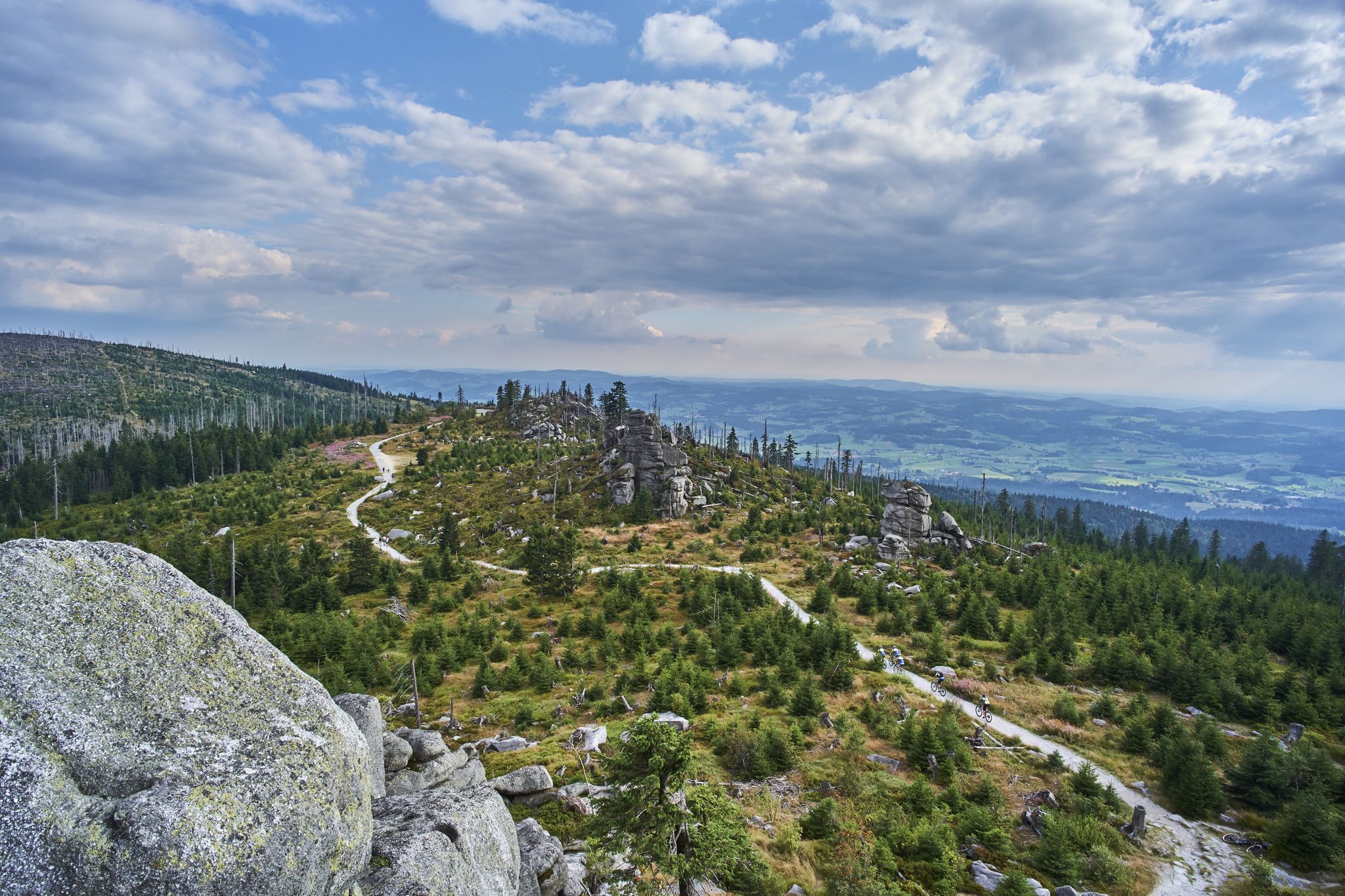
Trans Bayerwald – A mountain bike adventure through Bavaria's finest nature
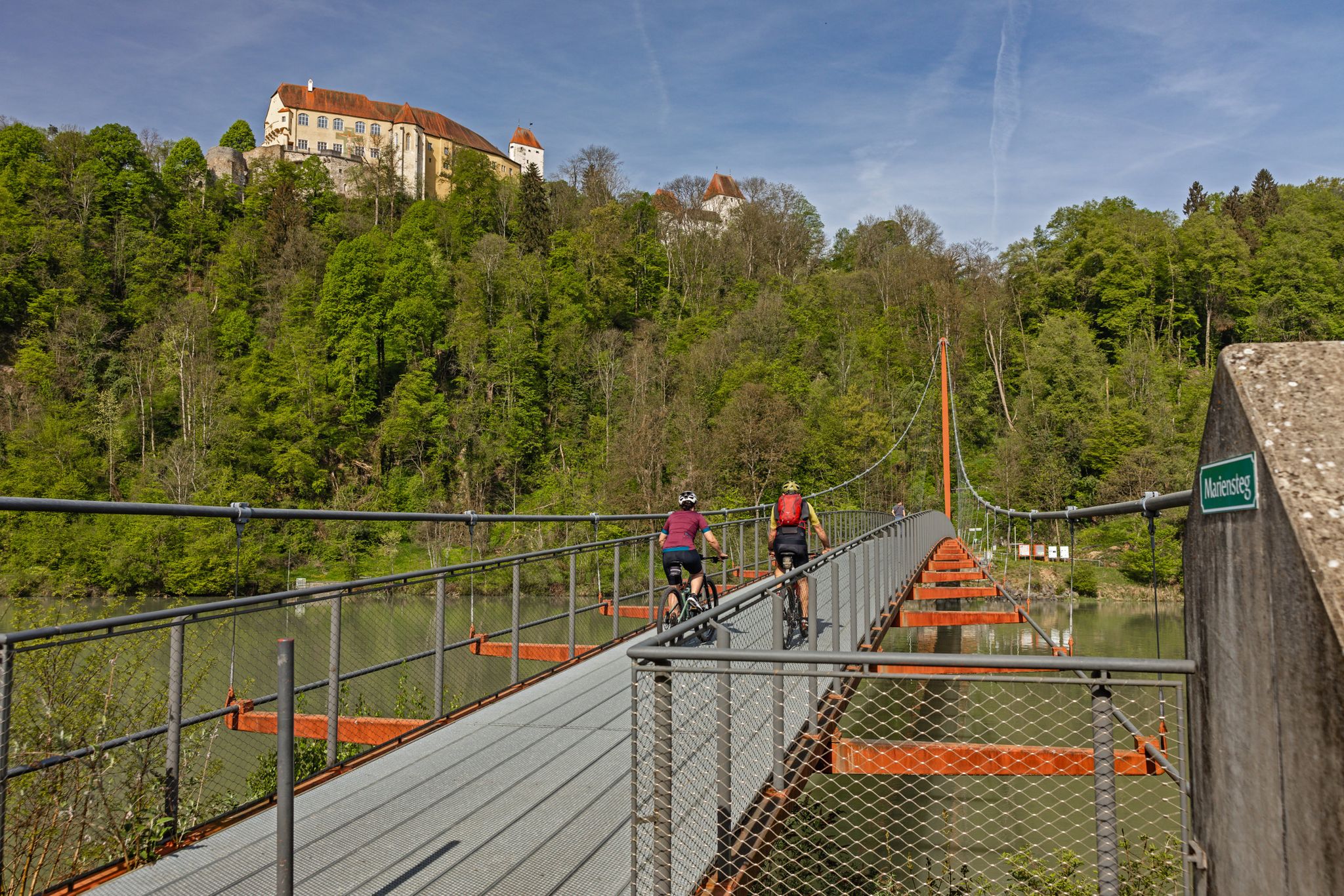
Cycling in the Passau region
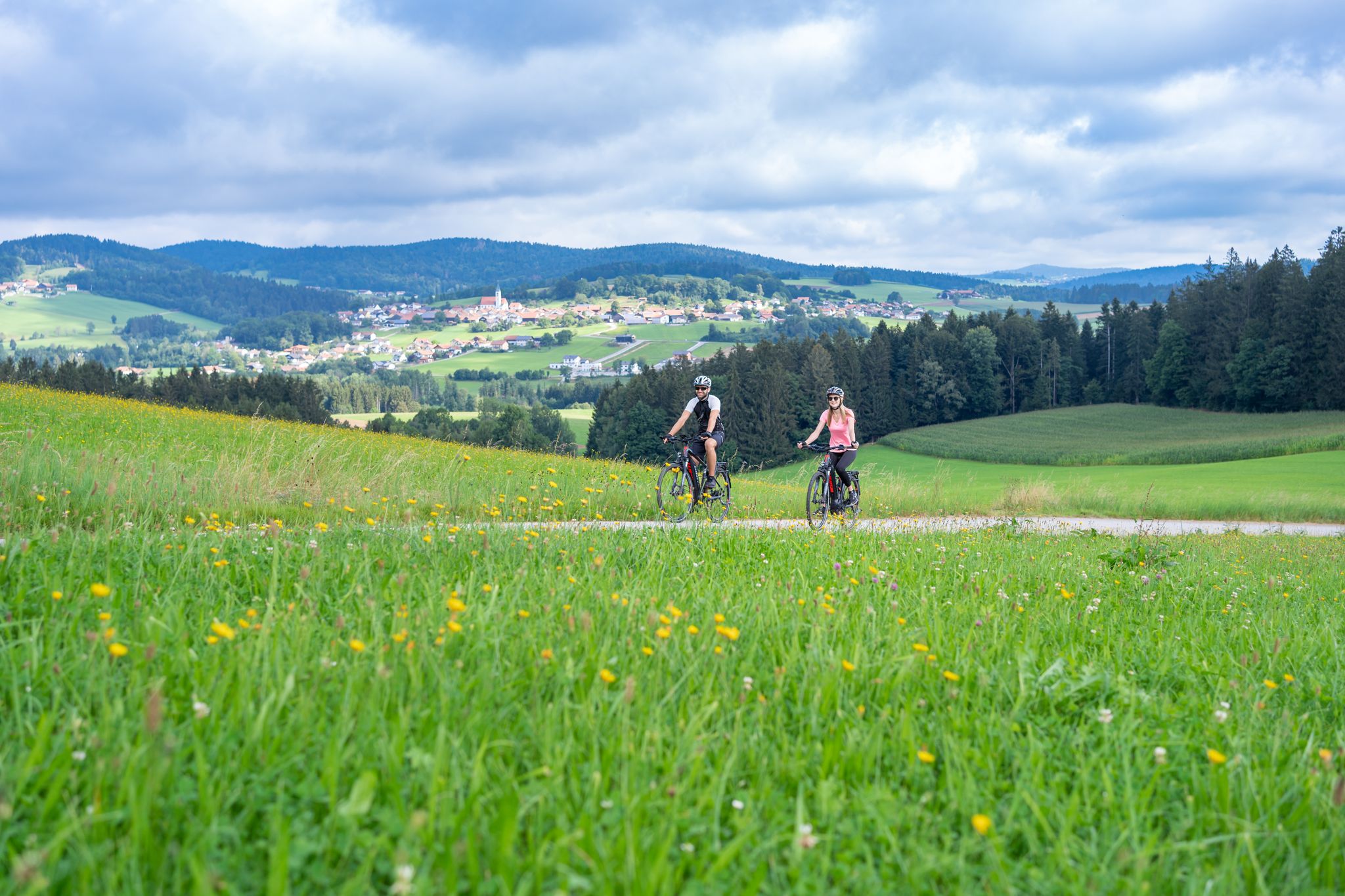
Radtouren zwischen Donau und Moldau - unterwegs im Bayerischen Wald
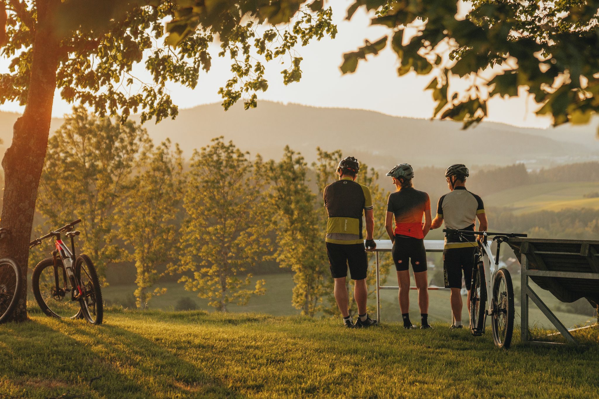
Biken auf der Grande Granit-Runde
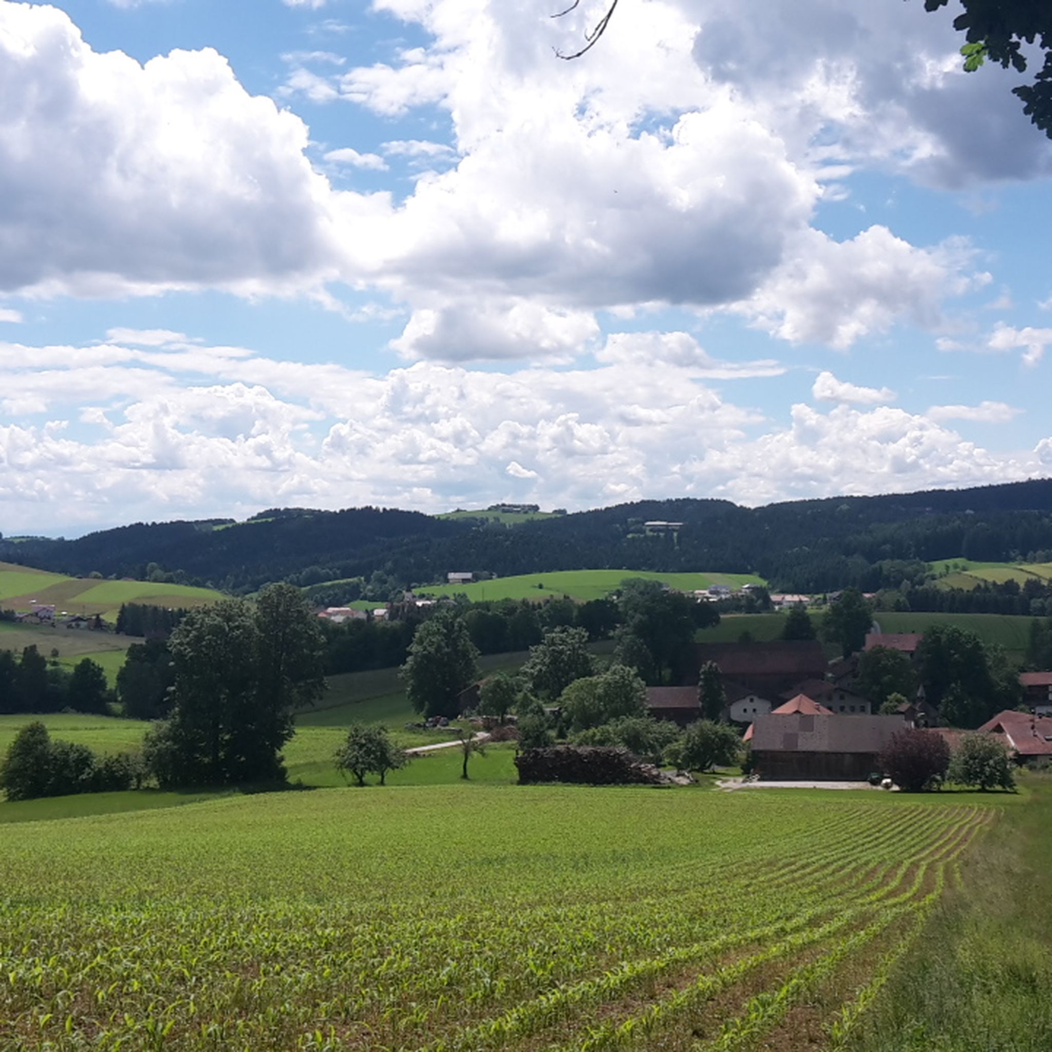
Hiking around Wegscheid
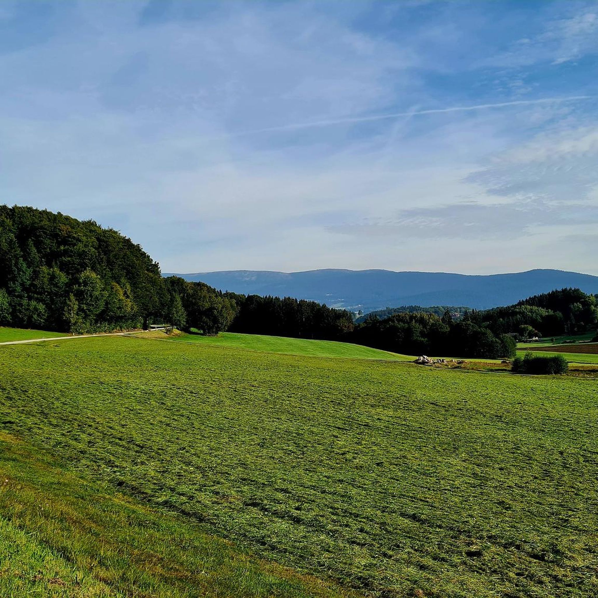
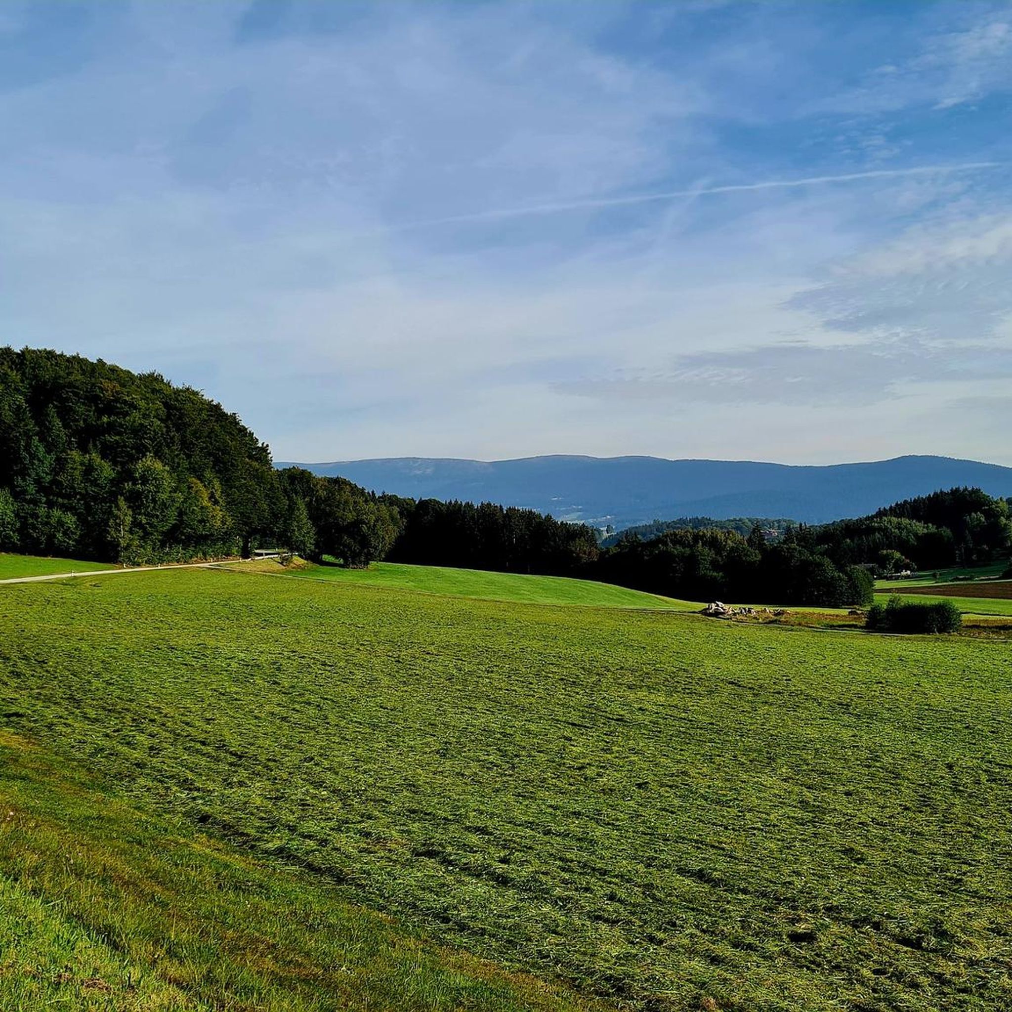
Cycling around Wegscheid
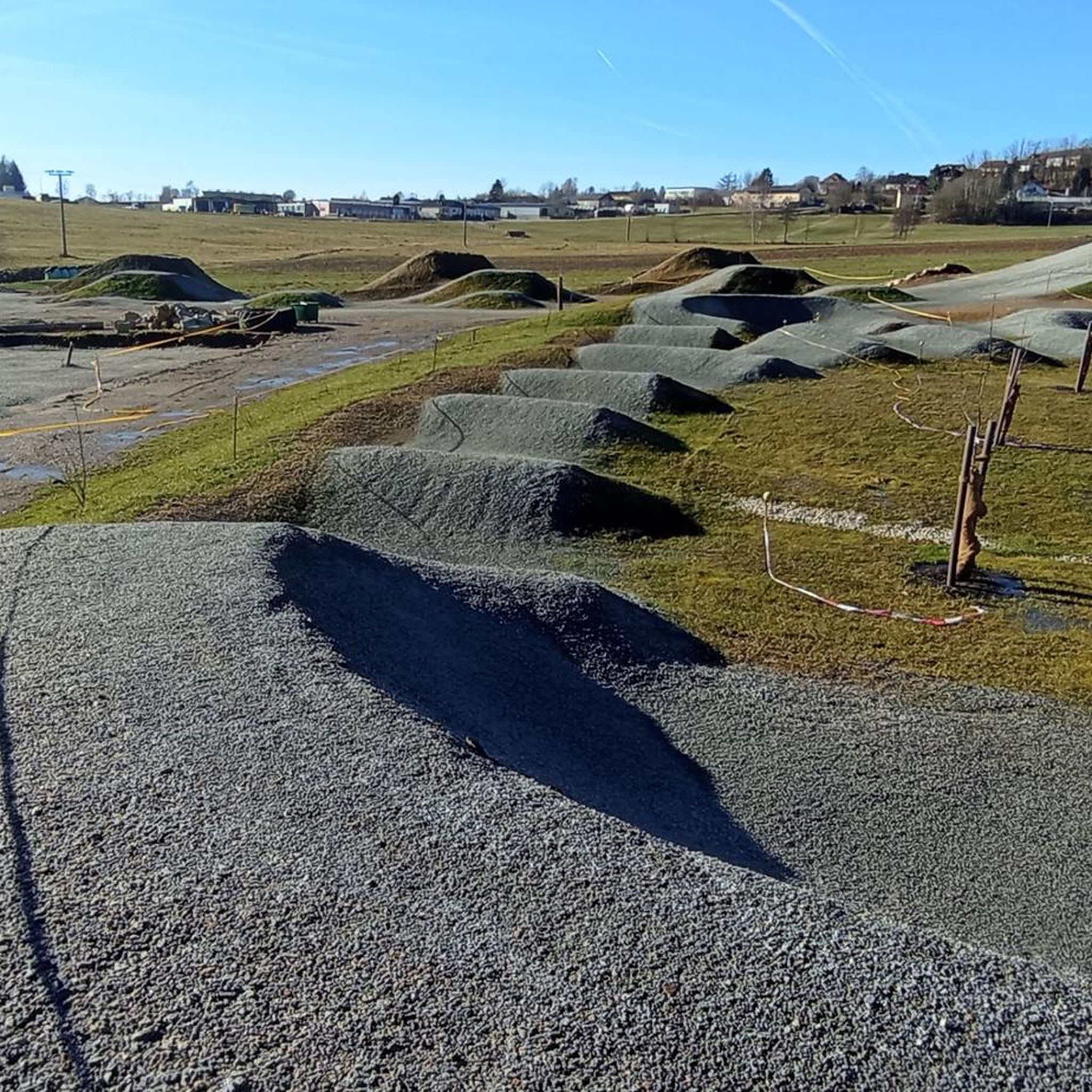
MTB Trails around Wegscheid
Running Trails around Wegscheid

Mountain Hikes around Wegscheid

Gravel biking around Wegscheid
Other adventures around Wegscheid


Tips from the Community

Beautiful place on the Danube. The car ferry from Austria also docks here.
0
0

St. Michael Church in the center of Untergriesbach
0
0

Nestled between rolling hills and the Bohemian Forest lies Julbach, with its striking neo-Romanesque St. Anne's Church a prominent landmark visible from afar. A mild climate, walnut and plum trees, expansive meadows, and tranquil forests make it the perfect place to stop. www.julbach.at
0
0
The beautiful village church of St. Michael towers over the village of Untergriesbach.
0
0

Caution cyclists! There are 90 steps to climb. Not feasible for everyone with the heavy e-bikes.
5
0
Caution cyclists! There are 90 steps to climb. Not feasible for everyone with the heavy e-bikes.
4
0
Beautiful parish church of Untergriesbach
0
0

Obernzell Town Hall! This historic building plays a central role in community life and offers various services to its citizens. Here are some interesting aspects: ### General Information - **Location**: The town hall is located in the heart of Obernzell, directly on the Danube. - **Citizen Services**: It is the contact point for various citizen concerns, including registrations, information, and more. ### Opening Hours The town hall has the following opening hours: - **Monday, Tuesday, Thursday**: **8 a.m. - 12 p.m.** and **1 p.m. - 4 p.m.** - **Wednesday, Friday**: **8 a.m. - 12 p.m.** ### Services Citizens can take advantage of the following services at Obernzell Town Hall: 1. **Citizen Services**: Support with registrations and inquiries. 2. **Offices and Departments**: Information on various municipal topics. 3. **Events**: Information about local events and festivals. ### Mayor - The **First Mayor** of Obernzell has been **Ludwig Prügl** (CSU) since **May 1, 2020**. ### Summary The **Obernzell Town Hall** is not just an administrative building, but also an important part of community life in the region. It offers numerous services and is a central point of contact for citizens.
1
0
Frequently Asked Questions
How many road cycling routes are available around Wegscheid?
There are over 50 road cycling routes around Wegscheid, offering a diverse range of options for different skill levels. The region is known for its varied terrain, including sections along the Danube River and through the Bavarian Forest.
Are there road cycling routes suitable for beginners in Wegscheid?
While many routes in Wegscheid feature significant elevation changes, there is at least one easier route available. For those looking for a more moderate challenge, there are 35 routes classified as moderate, which can be a good starting point for less experienced riders before tackling the more difficult climbs.
What kind of terrain can I expect on road cycling routes in Wegscheid?
Road cycling routes in Wegscheid are characterized by rolling hills, significant elevation changes, and scenic views. You'll find a mix of challenging climbs and moderate paths, often traversing forested areas, open landscapes, and sections along the Danube River.
What are some popular loop routes for road cycling in Wegscheid?
Many routes in Wegscheid are designed as loops. A popular moderate option is the Obernzell Castle – Nixe Isa statue on the Danube loop from Wildenranna, which covers 27.6 miles (44.4 km) and includes historical landmarks. For a more challenging ride, consider the View of Engelhartszell – Obernzell on the Danube loop from Thurnreuth, a 37.5-mile (60.3 km) route with substantial elevation gain.
Are there any family-friendly road cycling routes in Wegscheid?
While many road cycling routes in Wegscheid involve significant elevation, some of the moderate routes might be suitable for families with older, more experienced children. It's best to check the elevation profiles and distances of individual routes to ensure they match your family's fitness level. For example, the Freudensee – Granite Center Bavarian Forest loop from Thalberg is a moderate 29.9-mile (48.2 km) trail that passes by Freudensee.
What can I see along the road cycling routes in Wegscheid?
Many routes offer scenic views of lakes and historical sites. You might pass by natural attractions like the Freudensee or the Erlauzwieseler Reservoir. Historical landmarks such as Erlau Valley and Historic Stone Bridge are also often part of the routes, especially those along the Danube.
What is the best time of year for road cycling in Wegscheid?
The summer months are generally ideal for road cycling in Wegscheid, offering pleasant temperatures and longer daylight hours. However, spring and autumn can also be beautiful, with vibrant foliage and fewer crowds, though you should be prepared for potentially cooler weather and varying conditions in the Bavarian Forest.
Are there any challenging road cycling routes for advanced riders?
Yes, Wegscheid offers 18 difficult road cycling routes for experienced riders. The region's rolling hills and significant elevation changes provide ample challenge. An example is the Ulrichsberg Church – Klaffer am Hochficht Church loop from Hartmannsreut, a difficult 30.1-mile (48.5 km) route with substantial climbing.
What do other road cyclists enjoy most about road cycling in Wegscheid?
The area is highly rated by the komoot community, with an average score of 4.7 stars from over 30 reviews. Road cyclists often praise the varied terrain, the scenic views along the Danube, and the challenging climbs through the Bavarian Forest, making for a rewarding experience.
Are there routes that pass by specific landmarks or points of interest?
Yes, several routes incorporate notable landmarks. For instance, the Obernzell Castle – Nixe Isa statue on the Danube loop from Wildenranna passes by historical sites. You can also find routes near the Freudensee or the Ranna Reservoir Dam, offering diverse points of interest.
What is the typical duration for road cycling routes in Wegscheid?
Route durations vary significantly based on distance and elevation. For example, a moderate 27.6-mile (44.4 km) route like the Obernzell Castle – Nixe Isa statue on the Danube loop from Wildenranna typically takes around 2 hours 5 minutes. More difficult and longer routes, such as the 37.5-mile (60.3 km) View of Engelhartszell – Obernzell on the Danube loop from Thurnreuth, can take closer to 3 hours 44 minutes.
Most popular routes around Wegscheid
Most popular attractions around Wegscheid

Get inspired with the komoot mobile app


Explore more
Browse the best Road cycling routes in other regions.
