The best walks and hikes around Aritzu/Aritzo
4.5
(472)
2,261
hikers
58
hikes
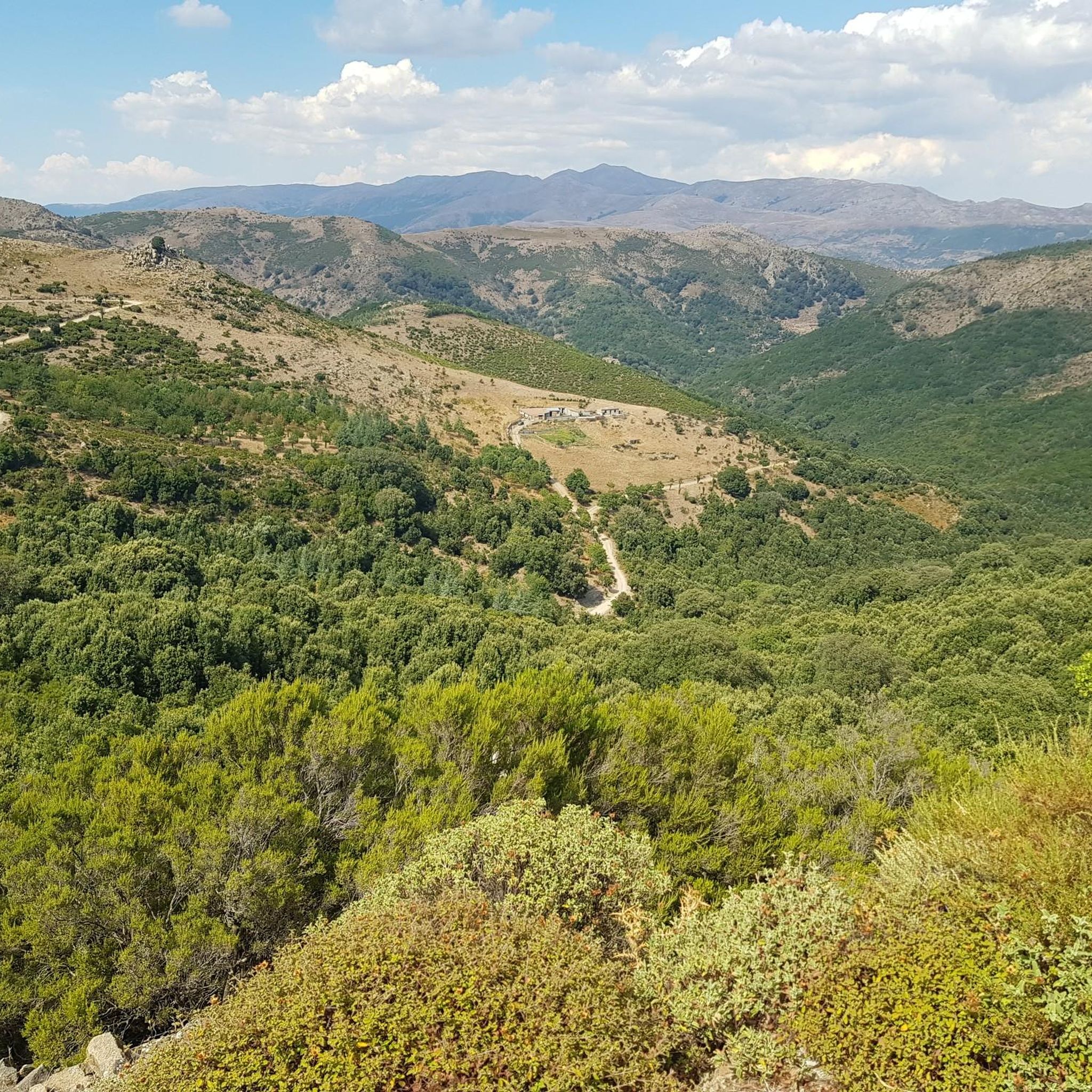
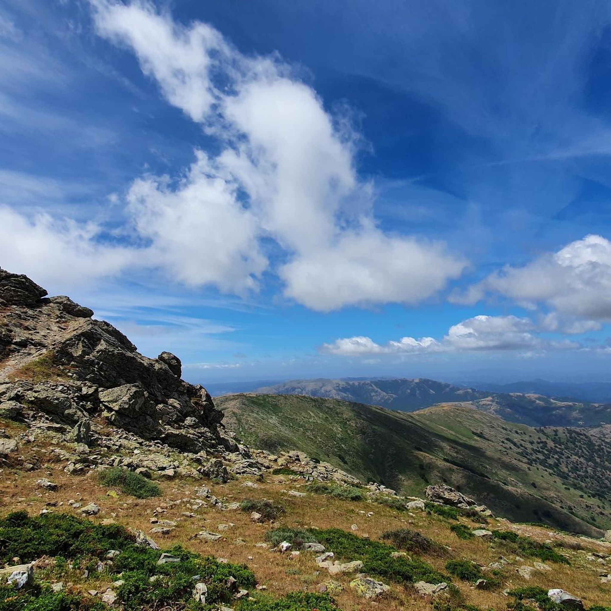
Hiking around Aritzu/Aritzo features diverse landscapes within the Monti del Gennargentu mountain range, including high peaks and natural monuments. The region is characterized by varied terrain, from challenging mountain trails to more accessible paths. Notable natural features include the summit of Punta La Marmora, the Bruncu Spina – Punta Paulinu area, and the Sa Stiddiosa Waterfall. The Monumento Naturale Texile di Aritzo also showcases unique geological formations.
Best hiking trails around Aritzu/Aritzo
- The most popular hiking route is High Trail…
Last updated: June 25, 2026
3.8
(9)
29
hikers
9.40km
02:54
310m
320m
Moderate hike. Good fitness required. Easily-accessible paths. Suitable for all skill levels.
4.7
(9)
36
hikers
Hard hike. Very good fitness required. Mostly accessible paths. Sure-footedness required.

Sign up for free
5.0
(7)
21
hikers
12.2km
03:54
520m
520m
Moderate hike. Good fitness required. Easily-accessible paths. Suitable for all skill levels.
4.0
(5)
19
hikers
Moderate hike. Good fitness required. Mostly accessible paths. Sure-footedness required.
4.0
(3)
4
hikers
5.86km
01:47
200m
200m
Easy hike. Great for any fitness level. Easily-accessible paths. Suitable for all skill levels.
Get access to more routes and recommendations from other explorers.
Sign up for free
Already have an account?
Our route recommendations are based on thousands of hikes, rides, and runs completed by other people on komoot.
Start today with a free account
Your next adventure awaits.
Login or Signup
Tips from the Community

The Monti del Gennargentu form the highest mountain range in Sardinia and the "roof of the island". It is located in the heart of Barbagia. The rugged, rocky mountain world is home to Punta La Marmora (1,834 m), the highest peak in Sardinia, as well as historical Nuragic villages, and offers fantastic hiking opportunities.
1
0

Enormous monolith from which you can enjoy a fantastic view and great silence. There might be sheep grazing with dogs, but they just bark without getting close.
0
0

Great view. Beautiful area.
2
0

Olive in Lechfeld and the ui and i is train Uli clock to mHoi like I gk to to K and juhu z and u good u and FF to her to IT to lie Kurt hat you have toilet it ö
0
1

It may not be obvious that Sardinia's highest mountain is crowned by an imposing summit cross, but it seems completely natural to the mountain hiker. A base made of natural stone from the surrounding area forms the lower level of this small sacred monument. A round column bears the Latin inscription "Ave Crux spes unica" (loosely translated "Hail [Holy] Cross, [our] only hope") and continues further up - almost seamlessly - into the longitudinal beam of the cross. Like many other summit crosses, it is comparatively simple in its design and has no corpus, but is certainly dignified.
3
0

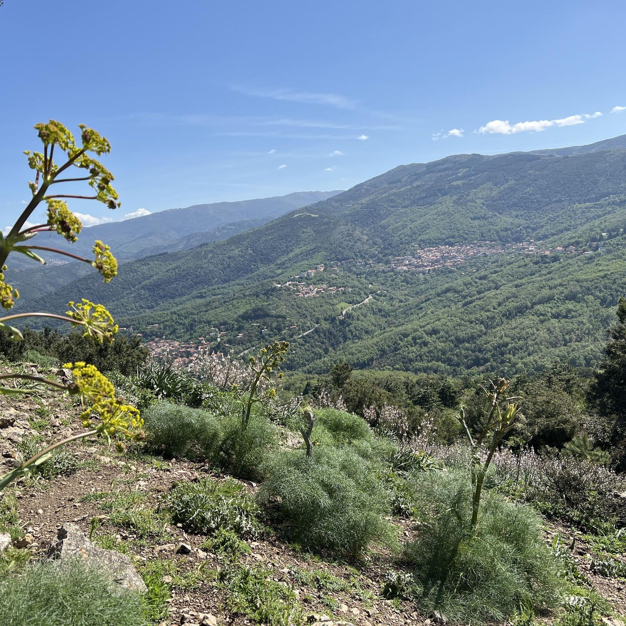
This small town is located right at the foot of the majestic Gennargentu, at an altitude of 800 meters above sea level. It's interesting to know that the country's economy once revolved around the snow trade!
1
0

With an all-mountain mountain bike you can do almost everything on the bike, both uphill and downhill
1
0

Treasure chest with everything possible and a summit book.
1
0
Frequently Asked Questions
How many hiking trails are available in Aritzu/Aritzo?
There are over 50 hiking routes in the Aritzu/Aritzo region, catering to various skill levels from easy to difficult. The komoot community has explored these trails over 2000 times.
What kind of terrain can I expect on hikes around Aritzu/Aritzo?
The Aritzu/Aritzo region, nestled within the Monti del Gennargentu, offers diverse landscapes. You can expect mountainous terrain with high peaks, unique geological formations, and natural monuments. Trails range from challenging mountain paths requiring good fitness to more accessible routes.
What do other hikers say about the trails in Aritzu/Aritzo?
The trails in Aritzu/Aritzo are highly rated by the komoot community, with an average score of 4.7 stars from over 400 reviews. Hikers often praise the varied terrain, the stunning views from high elevations, and the unique natural features like the Monte Texile.
Are there any challenging mountain hikes in the Aritzu/Aritzo region?
Yes, the region offers several challenging mountain hikes. For example, the Summit of Punta La Marmora – Punta La Marmora loop from Monti del Gennargentu is a difficult 14.8 km trail with significant elevation gain, leading to the highest peak in Sardinia. Another option is the Bau Succuru – Bau Alasi loop from Aritzu/Aritzo, a moderate-to-difficult 14.4 km route with over 570 meters of ascent.
Are there any easier hiking options suitable for beginners in Aritzu/Aritzo?
Yes, Aritzu/Aritzo offers 11 easy hiking routes. These paths are generally less strenuous and suitable for those new to hiking or looking for a more relaxed walk. While specific easy routes are not listed here, you can find them by filtering for 'easy' difficulty on komoot.
Are there any waterfalls to see on hikes around Aritzu/Aritzo?
Yes, the region is home to beautiful waterfalls. The Steep Trail in Gola di Gorropu – Sa Stiddiosa Waterfall loop from Monte Gastea is a popular 6.5 km trail that leads directly to the stunning Sa Stiddiosa Waterfall. You can also find the Cascata Maggiore, Aymerich Park nearby.
Are there any family-friendly hiking trails in Aritzu/Aritzo?
While many trails in Aritzu/Aritzo are mountainous, there are easier options that can be suitable for families. Look for routes marked as 'easy' in the komoot guide, which typically have less elevation gain and shorter distances. Always check the specific trail details for suitability with children.
Can I bring my dog on the hiking trails in Aritzu/Aritzo?
Many trails in the Aritzu/Aritzo area, particularly those outside strict nature reserves, are generally dog-friendly. However, it's always recommended to keep dogs on a leash, especially in areas with livestock or wildlife. Specific rules for the Gennargentu National Park should be checked locally.
Are there any circular walks available in Aritzu/Aritzo?
Yes, many of the popular hiking routes in Aritzu/Aritzo are designed as loops, allowing you to start and end at the same point. Examples include the High Trail to Bruncu Spina – Punta Paulinu loop from S'Arena and the Church of Aritzo – View of Monte Texile loop from Aritzu/Aritzo.
What natural landmarks or viewpoints can I explore around Aritzu/Aritzo?
The region is rich in natural landmarks and offers spectacular viewpoints. You can hike to the Summit of Punta La Marmora for breathtaking vistas, or visit the Mount Bruncu Spina area for another great view. The Church of Aritzo – View of Monte Texile loop from Aritzu/Aritzo also passes by the unique geological formation of Monte Texile.
Is there parking available at the trailheads in Aritzu/Aritzo?
Parking availability varies by trailhead. In Aritzu/Aritzo village, you can typically find parking. For specific trailheads like those near Bruncu Spina, Monte Texile, or Punta La Marmora, it's advisable to check local information or the komoot tour details for designated parking areas.
What is the best time of year to go hiking in Aritzu/Aritzo?
Aritzu/Aritzo offers hiking opportunities throughout the year, but the best time depends on your preferences. Spring and autumn generally provide pleasant temperatures for hiking. Summers can be hot, especially at lower elevations, while winters can bring snow to the higher peaks of Monti del Gennargentu, offering different challenges and scenery.
Most popular attractions around Aritzu/Aritzo

Get inspired with the komoot mobile app


Explore more
Browse the best Hikes in other regions.
