Top 20 Mountain Passes around Campodolcino
Best mountain passes around Campodolcino are situated in Valchiavenna, Italy, providing access to significant alpine crossings. This region is defined by its rugged mountain landscapes and historical trade routes that once connected Italy and Switzerland. The area offers diverse outdoor activities, ranging from challenging climbs to serene high-altitude pastures. Visitors can explore a variety of mountain environments, including impressive engineering feats and picturesque alpine lakes.
Best mountain passes around Campodolcino
- The most popular mountain passes is Montespluga, a settlement…
Last updated: September 29, 2026
Montespluga
Highlight • Settlement
Showing Translation
Tip by

San Bernardino Village
Highlight • Settlement
Translated by Google •
Tip by

Sign up now to discover places like this
Get recommendations on the best single tracks, peaks, & plenty of other exciting outdoor places.
Hairpin Bends and Tunnels of the Campodolcino–Pianazzo Road
Highlight (Segment) • Mountain Pass
Translated by Google •
Tip by

Splügen Pass Hairpin Bends
Highlight • Mountain Pass
The Splügen Pass has been proven to have been used since prehistoric times. There are also references to this in Roman times, e.g. the …
Translated by Google •
Tip by

San Bernardino Pass from Bellinzona
Highlight (Segment) • Mountain Pass
Tip by

Sign up for free to discover even more mountain passes around Campodolcino.
Already have an account?
Start today with a free account
Your next adventure awaits.
Popular around Campodolcino
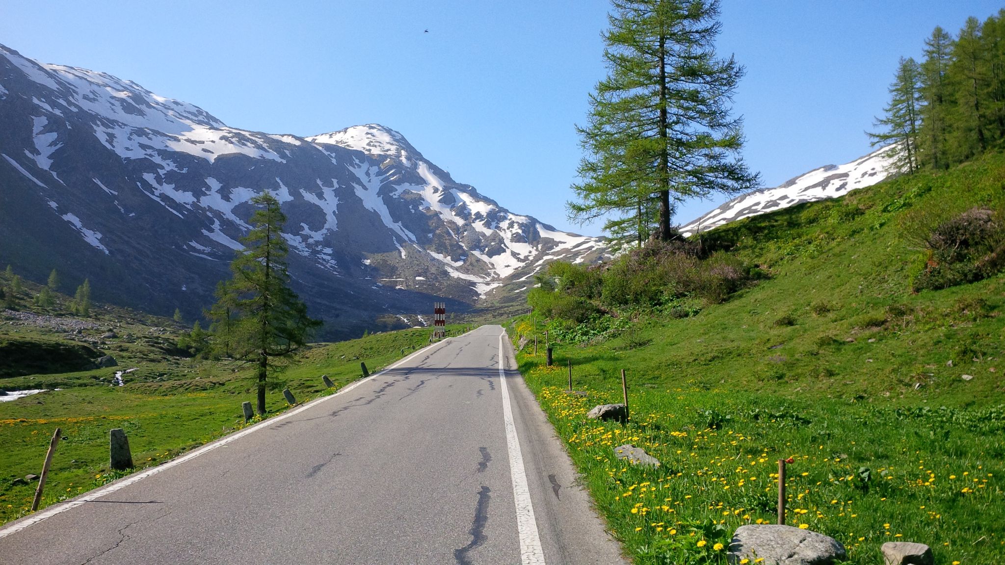
Effort tastes sweet – the most beautiful climbs in Italy’s Valchiavenna
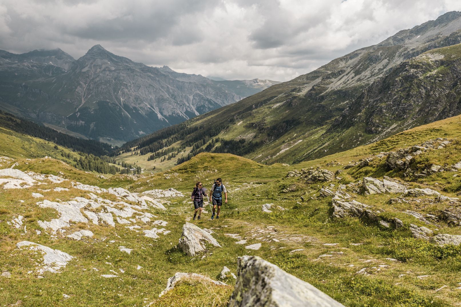
Between deep canyons, waterfalls and turquoise lakes – Via Spluga
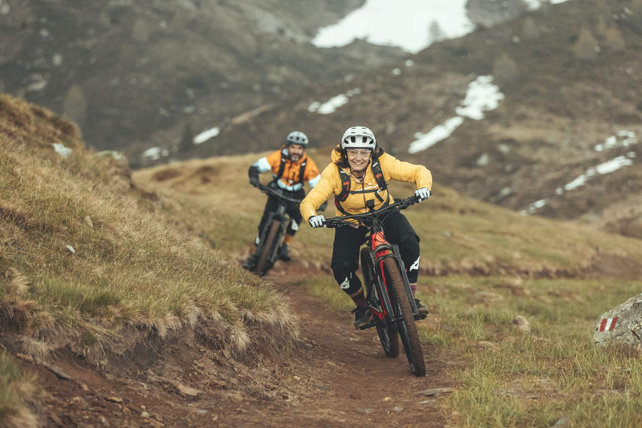
Valtellina in MTB: è un'avventura
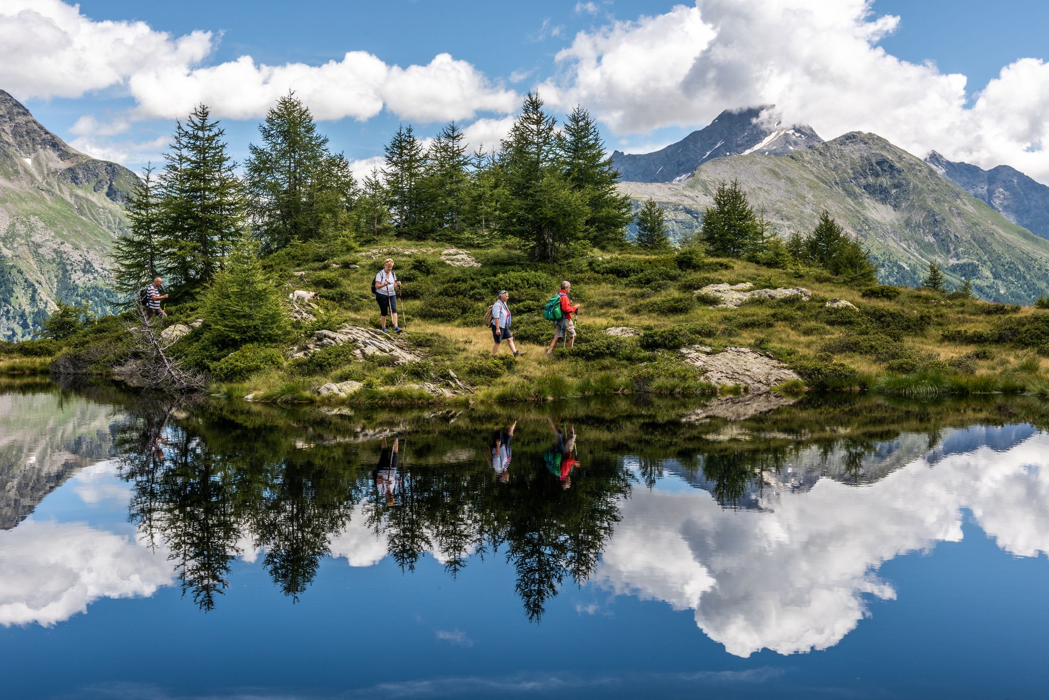
Oasi di tranquillità alpina – 5 laghi da non perdere in Valchiavenna
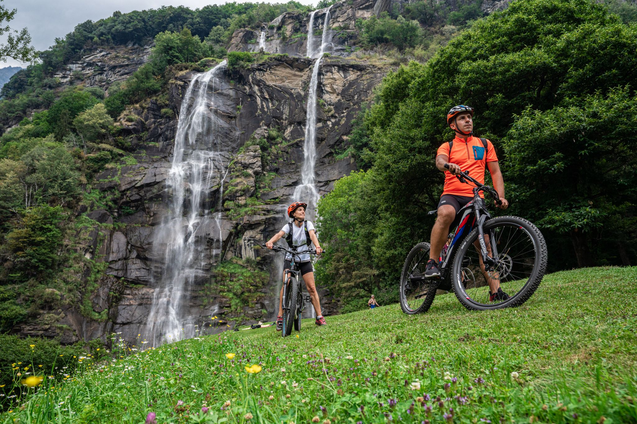
La Valchiavenna in MTB – itinerari da non perdere
Hiking around Campodolcino
Road Cycling Routes around Campodolcino
MTB Trails around Campodolcino
Cycling around Campodolcino
Gravel biking around Campodolcino
Other adventures around Campodolcino


Tips from the Community

It's a great way to enjoy the descent! But be careful, the tunnels aren't lit. It's better to drive with your lights on!
2
0

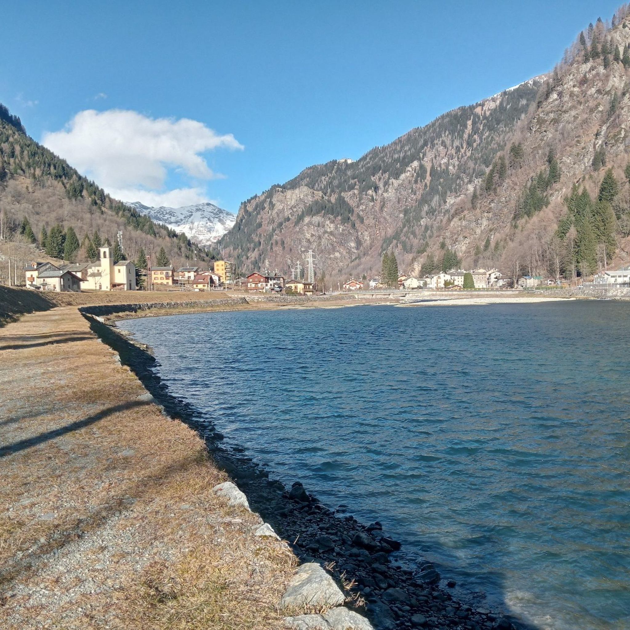
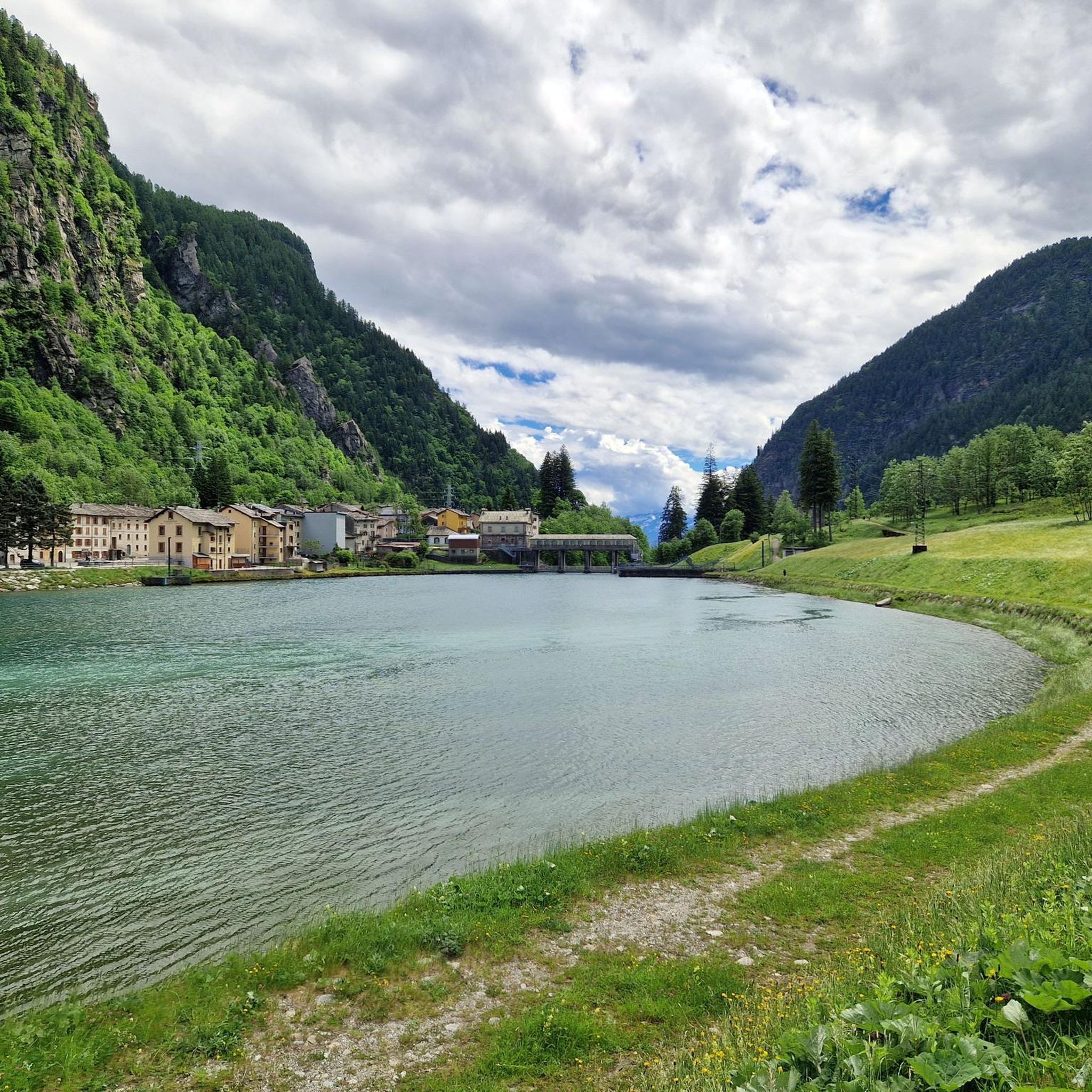
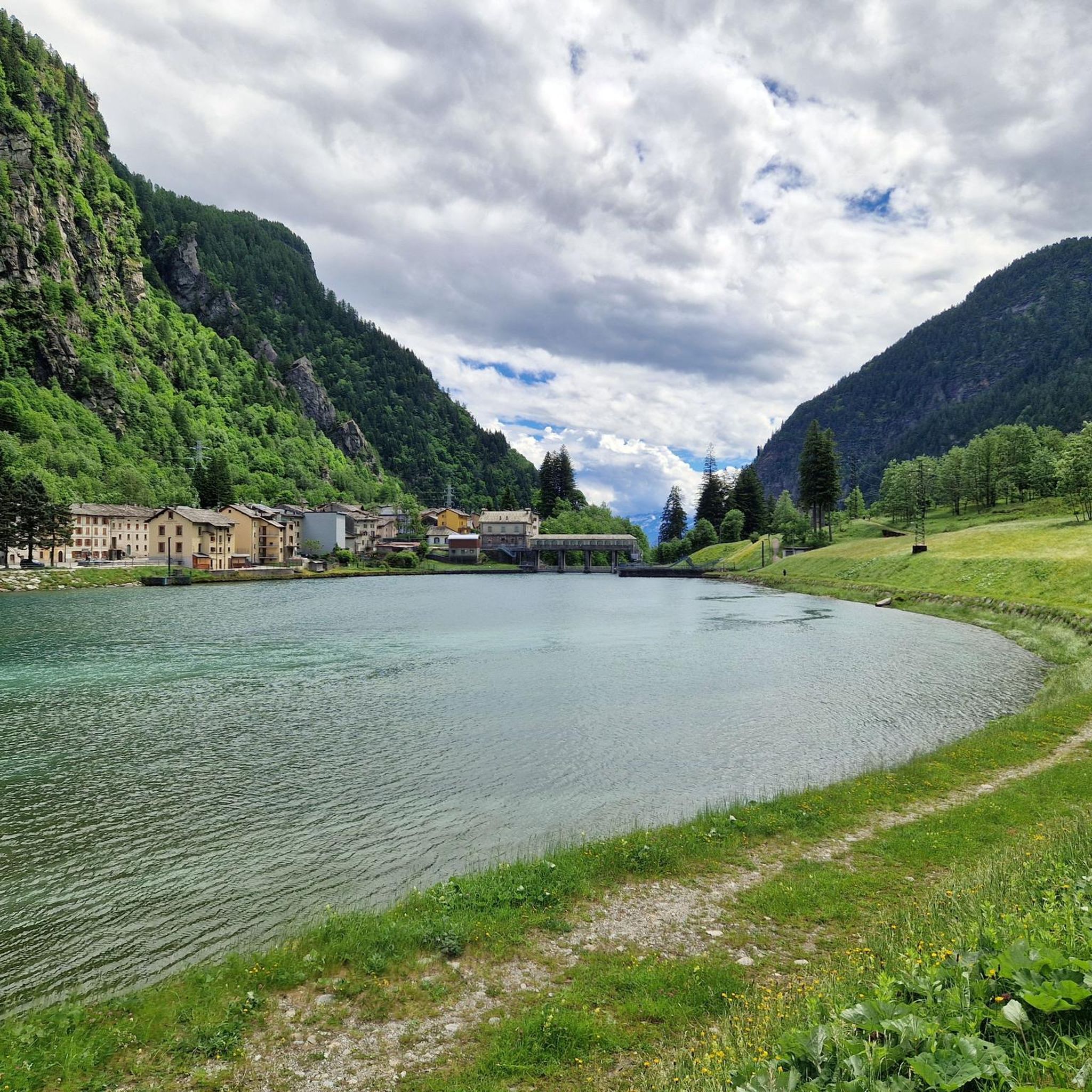
Montespluga SO The mountain village of Montespluga is located at an altitude of 1908 m above sea level at the beginning of the Val San Giacomo (also called Valle Spluga), about three kilometers from the summit of the Splügen Pass. The place originated in a hollow rich in water and pastures, where the Valle Spluga meets the Val Loga, near the border peaks of the area such as Pizzo Tambo. In 1927, the construction of the dam about 2 kilometers south of Montespluga began, damming the Torrente Liro to form the Lago di Montespluga below the village. The village with its few houses, restaurants, hotels, and shops on the pass road and the old customs building "La Casa" has hardly changed. Until 1841, it housed the only hospice on the Splügen Pass and the only place of worship, the chapel of San Francesco d’Assisi. The latter was consecrated in 1832, the year after the completion of the new road to the Splügen Pass in 1822. As early as 1767, the apostolic nuncio in Switzerland and later Cardinal Luigi Valenti Gonzaga had granted permission to set up a small chapel in the hospice. Since the opening of the San Bernardino Tunnel, the pass has no longer been kept open in winter. The village, which consists of three streets (Via Dogana, Via Ferrè, and Via Val Loga), can be cut off from both Italy and Switzerland. Montespluga is the starting point for numerous hiking, mountaineering, and ski touring destinations in the surrounding mountains and a stage destination on the cross-border long-distance hiking trail Via Spluga. Text / Source: wikipedia.org https://de.wikipedia.org/wiki/Montespluga
11
0
Splügen Pass (Alpine crossing (2113 m) Alpine crossing (2113 m) on the border between the Rheinwald in the Hinterrhein valley and the Italian Val San Giacomo (St. Jakobstal). The village of Splügen at the northern starting point, mentioned around 840 as cella in speluca, gave the pass its name. Italian Passo dello Spluga, Romanesque Pass dal Spleia. In the Middle Ages, the Splügen Pass was also known as Colmen d'Orso and Urschler. At the same time as the San Bernardino, the first road that was continuously passable for freight wagons and carriages was built between 1818 and 1823. After the Simplon and before the Gotthard, the Lower Road was thus the second Swiss "artificial road" across the Alps. For the route from Chur over the San Bernardino to Bellinzona, the Kingdom of Sardinia-Piedmont was responsible for a large part of the costs, in addition to the canton of Graubünden. The The Lombardo-Venetian Kingdom saw this as a threat to the volume of traffic over the Splügen Pass and, in return, had a road built at its own expense across the national border to the village of Splügen. This road essentially corresponded to the route still used at the beginning of the 21st century. On the north side, the road no longer led through the avalanche slope of the Altberg, in accordance with the plans of engineer Carlo Donegani. On the south side, an almost completely new route was chosen below Monte Spluga to Campodolcino, bypassing the Cardinell Gorge. Many galleries and refuge houses were built at regular intervals, especially on the south side. After the devastating flood damage of 1834, the road was rebuilt in some places. In 1841, the first mountain house with the customs station was built on the north side (2022 m). Text / Source: Historical Dictionary of Switzerland (HLS) https://hls-dhs-dss.ch/de/articles/008823/2013-01-10/
9
0
Splügen Pass / Passo dello Spluga The Splügen Pass has been proven to have been used since prehistoric times. There are also references to this in Roman times, e.g. the Itinerarium Antonini, a Roman road map from around 300 AD. The very close connections between the bishoprics of Chur and Como ran over the Splügen Pass. As early as 1396, there was evidence of significant customs revenues at Splügen. The expansion of the Viamala Gorge promoted its boom. The movement of goods was carried almost exclusively by packhorses, which meant frequent reloading. Transit traffic formed an important part of the flourishing economy. As late as 1798, the Austrian Field Marshal von Bellegarde wrote: "The largest train of goods from Milan to Germany goes over this pass, but mostly on horses and mules." Between 1818 and 1823, the first road that was passable for freight wagons and stagecoaches was built at the same time as the San Bernardino, and to a large extent it still follows the same route as it was then. After that, freight volumes and international passenger traffic over the Splügen increased several times over and reached their peak in the mid-1850s. The opening of the Alpine railways (1867 Brenner, 1872 Mont Cenis) had already reduced transit traffic over the Splügen. The opening of the Gotthard Railway in 1882 brought Graubünden transit traffic to a virtual standstill. A large wave of emigration was a direct result. The decades-long efforts to build a Splügen railway ultimately failed. The construction of the national road with a car tunnel at the San Bernardino opened up new perspectives. The Splügen Pass has been closed in winter since World War II. Text / Source: Interest Group for Alpine Passes IAP, PO Box 11, 6491 Realp https://www.alpen-paesse.ch/de/alpenpaesse/spluegenpass/
10
0

It is the second stretch of steep climb on the Italian side, after the break in Campodolcino. It is the great attraction of this port and a memory that every cyclist takes with them.
1
0

Long climb up the pass, but really beautiful and very pleasant to ride
0
1

Very nice pass, drive and enjoy
0
1

The small holiday resort is located near the pass of the same name in the canton of Graubünden. The place is the starting point for numerous hikes. There are a few hotels and restaurants here, and there is also a small supermarket and a gas station in town.
2
0
Frequently Asked Questions
What historical significance do the mountain passes around Campodolcino hold?
The mountain passes in this region, particularly the Splügen Pass, have a rich history dating back to Roman times. They served as crucial trade routes connecting Italy and Switzerland. The road to Splügen Pass, built between 1818 and 1823, is an impressive engineering feat, and the pass itself is an integral part of the historic Via Spluga, a cultural hiking trail tracing ancient mule tracks.
Are there any family-friendly mountain passes or areas to visit near Campodolcino?
Yes, the area around Alpe Angeloga is excellent for families. It features a beautiful alpine lake and the Rifugio Chiavenna, which provides a welcoming base. A relatively gentle climb of about an hour from Fraciscio (reachable by car from Campodolcino) leads to the high pastures, making it accessible for family outings. Additionally, Montespluga and San Bernardino Village are noted as family-friendly settlements with facilities and natural beauty.
What kind of natural landscapes and features can I expect to see?
You'll encounter diverse landscapes, from the lush valleys around Chiavenna to the almost lunar-like environment near Montespluga. The region boasts magnificent peaks over 3,000 meters, picturesque alpine lakes like the one at Alpe Angeloga, and pine forests and bogs around San Bernardino Village. Pizzo Spadolazzo offers exceptional panoramic views of the entire Spluga Valley and surrounding peaks.
What outdoor activities are popular around the mountain passes near Campodolcino?
The region is a hub for various outdoor activities. Cycling is very popular, especially the challenging ascent to the Spluga Pass, which has been featured in the Giro d'Italia. Hiking is also prominent, with options ranging from the historic Via Spluga to family-friendly trails around Alpe Angeloga and challenging ascents to peaks like Pizzo Spadolazzo. You can find more detailed routes for MTB Trails, Gravel Biking, and Cycling around Campodolcino.
Are there challenging routes for experienced hikers or cyclists?
Absolutely. The climb to the Splügen Pass is considered a must-do for serious cyclists, featuring significant gradients and rewarding panoramic views. For experienced trekkers, the ascent to Pizzo Spadolazzo, often starting from Montespluga, is a challenging hike involving varied terrain, high-altitude meadows, and rocky sections.
What is the best time of year to visit the mountain passes?
The best time to visit for hiking and cycling is typically during the warmer months, from late spring to early autumn (May to October), when the passes are generally free of snow and weather conditions are more favorable. Some passes, like the Splügen Pass, are closed in winter. For winter activities like ski mountaineering, the season would be from late autumn to early spring, depending on snow conditions.
Where can I find accommodation or places to eat near the mountain passes?
Several areas offer facilities. Montespluga is a mountain village with restaurants, hotels, and shops. At Alpe Angeloga, the Rifugio Chiavenna provides accommodation and traditional local dishes. San Bernardino Village also has hotels, restaurants, and a small supermarket.
What makes the Splügen Pass Serpentines a notable feature?
The Splügen Pass Serpentines are an engineering marvel, particularly the stretch from Campodolcino to Pianazzo. These dramatic hairpin bends and tunnels carved into the rock face make for a thrilling experience for both cyclists and drivers, offering magnificent views of the surrounding mountains as you ascend.
Can I access these mountain passes using public transport?
While specific public transport details for each trailhead vary, the region is generally accessible. For instance, Fraciscio, a starting point for family-friendly hikes to Alpe Angeloga, is reachable by car from Campodolcino. For more remote areas, personal vehicles or local shuttle services might be necessary, especially for reaching higher-altitude starting points like Montespluga.
What do visitors enjoy most about the mountain passes around Campodolcino?
Visitors frequently praise the stunning panoramic views, the historical significance of the ancient trade routes, and the diverse opportunities for outdoor activities. The challenging yet rewarding cycling routes, the serene alpine lakes, and the tranquility of areas like Alpe Angeloga are often highlighted. The unique blend of natural beauty and cultural heritage makes the region particularly appealing.
Are there opportunities for wildlife spotting or enjoying nature in solitude?
Yes, areas like Alpe Angeloga are praised for their silence and the opportunity to discover mountain flora and fauna, making them ideal for those seeking peace and immersion in nature. The vast, flat area of Angeloga is also excellent for stargazing due to minimal light pollution. The diverse landscapes, from lush valleys to high alpine environments, support a variety of wildlife.
Most popular routes around Campodolcino
Most popular attractions around Campodolcino

Get inspired with the komoot mobile app


Explore more
See even more epic mountain passes by checking out these guides around Campodolcino:
