The best mountain hikes around Calascio
4.8
(4)
25
hikers
3
hikes
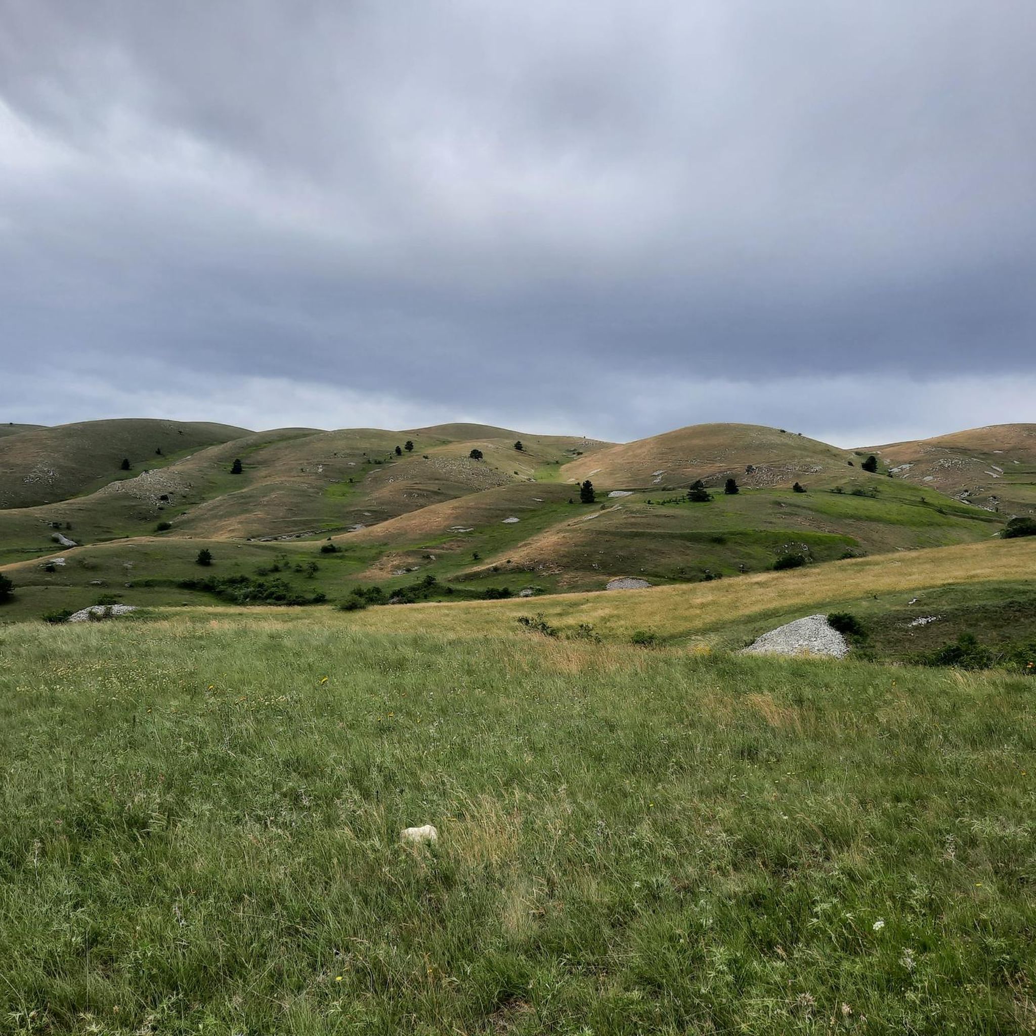
Mountaineering routes around Calascio are situated within Italy's Abruzzo region, specifically within the Gran Sasso and Monti della Laga National Park. This area is characterized by rugged limestone formations, pristine peaks, and high altitudes, with Rocca Calascio itself at 1,460 meters (4,790 feet) above sea level. The landscape includes vast expanses of forests, meadows, and the expansive Campo Imperatore plateau, providing a diverse environment for outdoor pursuits. Prominent peaks like Mount Aquila, reaching 2,494 meters, offer extensive vistas across the…
Last updated: October 8, 2026
5.0
(1)
12
hikers
11.4km
05:51
550m
550m
Hard mountaineering route. Very good fitness required. Sure-footedness, sturdy shoes and alpine experience required.
4.7
(3)
11
hikers
7.74km
04:52
910m
910m
Hard mountaineering route. Very good fitness required. Mostly accessible paths. Sure-footedness required.

2
hikers
10.7km
06:22
880m
880m
Hard mountaineering route. Very good fitness required. Sure-footedness, sturdy shoes and alpine experience required.
Our route recommendations are based on thousands of hikes, rides, and runs completed by other people on komoot.
Start today with a free account
Your next adventure awaits.
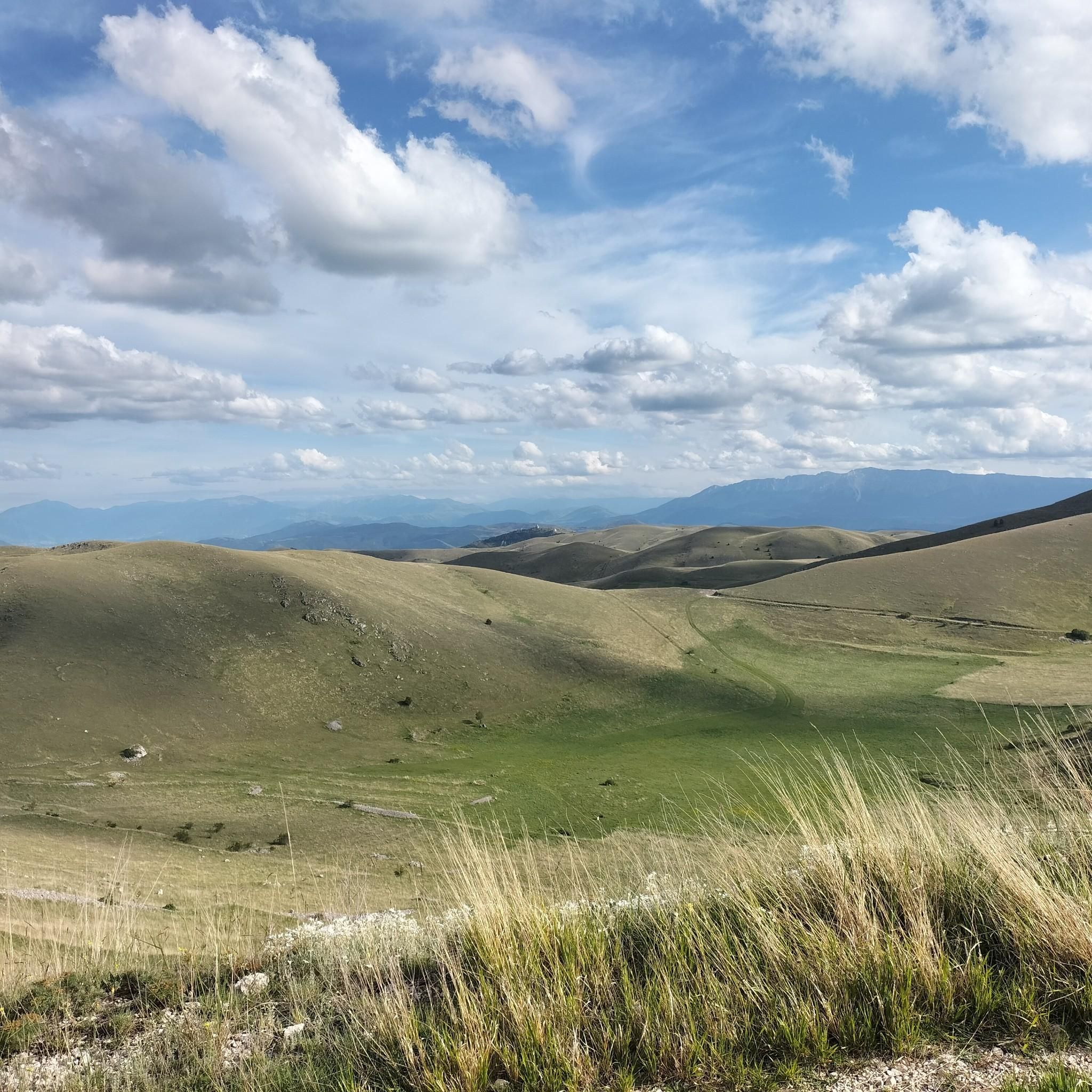
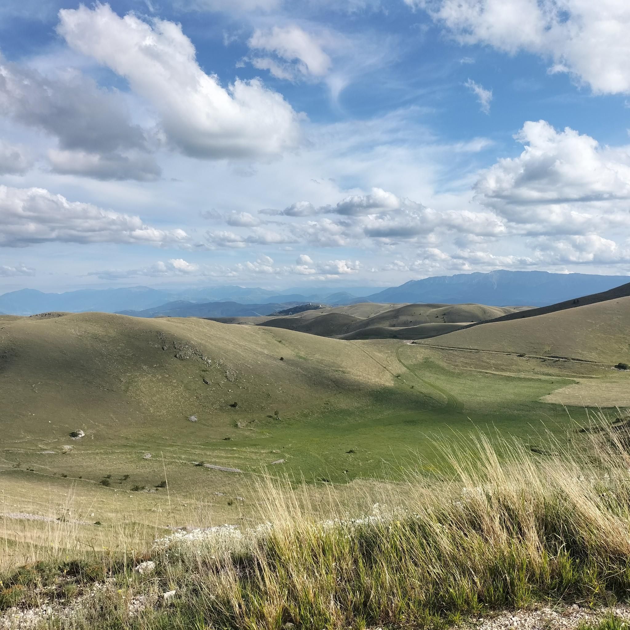
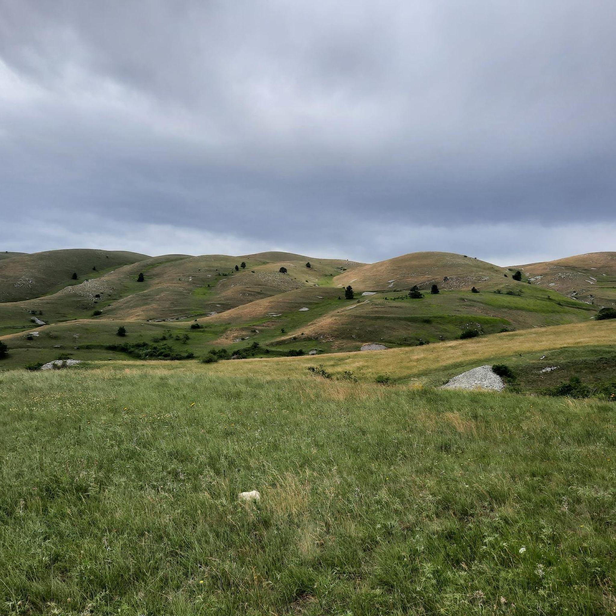
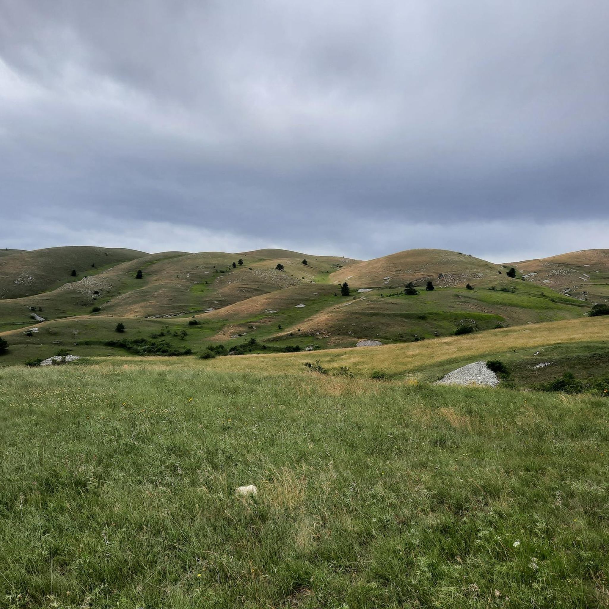

Tips from the Community

Rifugio Fonte Vetica is currently closed because the main building (the hotel-restaurant) was completely destroyed by a fierce, raging fire on the night of September 1st to 2nd, 2021. Since then, the catering and hotel facilities at that specific location have been unusable.
5
0

Arrival from Monte Prena and dislocation for Desiati bivouac, or continuing to the summit of Monte Camicia
0
0

Given the steepness, trekking poles are recommended.
0
0


Campo Imperatore and the Gran Sasso chain, a unique and special place and a lot of all-Italian pastoral history 🇮🇹
0
0

Montr Shirt (2564 m) offers a vast panorama of the Adriatic Sea, the coast, the Corno Grande and a good part of the Central Apennines.
0
0
Frequently Asked Questions
What kind of mountaineering experience can I expect around Calascio?
Mountaineering around Calascio offers a challenging experience within the Gran Sasso and Monti della Laga National Park. The routes are characterized by rugged limestone formations, pristine peaks, and high altitudes, often leading through the expansive Campo Imperatore plateau. You'll find trails designed for experienced mountaineers seeking demanding ascents and breathtaking panoramic views.
Are there any circular mountaineering routes in the Calascio area?
Yes, several mountaineering routes around Calascio are designed as loops. For instance, you could explore the Corno Pass – Mount Brancastello loop from Monte Aquila, which is a challenging 11.4 km trail. Another option is the Monte Camicia summit – Fonte Vetica Hut loop from Camping Fonte Vetica, a 7.7 km path featuring a challenging summit ascent.
What are some notable landmarks or natural features I might encounter on these routes?
The region is rich in natural and historical landmarks. You'll often find yourself amidst dramatic peaks like Monte Aquila Summit and Monte Camicia summit. Many routes traverse high mountain passes such as Corno Pass and the vast Campo Imperatore Plateau. While not directly on the mountaineering routes, the iconic Rocca Calascio Castle and the Church of Santa Maria della Pietà are prominent features of the wider area, often visible from higher elevations.
What is the typical difficulty level of mountaineering routes near Calascio?
The mountaineering routes around Calascio are generally considered difficult. They involve significant elevation gains and cover rugged terrain, making them suitable for experienced mountaineers. For example, the Monte Infornace (2464 m) – Monte Prena Summit Cross loop from Campo Imperatore is a challenging 10.7 km trail that takes over 6 hours to complete.
How many mountaineering routes are available in Calascio?
There are at least three distinct mountaineering routes detailed for the Calascio area, all of which are rated as difficult. These routes offer varied experiences across the high mountain landscape.
What do other mountaineers say about the routes in Calascio?
The mountaineering routes in Calascio are highly regarded by the komoot community, holding an average rating of 4.7 stars. Users often praise the challenging ascents, the dramatic high-altitude scenery, and the expansive views across the Gran Sasso and Monti della Laga National Park.
Are there any mountain huts or shelters along the mountaineering trails?
Yes, some routes pass by mountain huts. For instance, the Monte Camicia summit – Fonte Vetica Hut loop from Camping Fonte Vetica specifically includes the Fonte Vetica Hut, which can be a useful point for rest or shelter during your ascent.
What are the highest points reached on mountaineering routes in this area?
Mountaineering routes in Calascio often lead to significant elevations. For example, the Monte Infornace (2464 m) – Monte Prena Summit Cross loop from Campo Imperatore takes you to high peaks, including Monte Infornace at 2464 meters. The region itself is characterized by high altitudes, with Rocca Calascio at 1,460 meters and Mount Aquila reaching 2,494 meters.
What kind of terrain should I expect on these mountaineering routes?
Expect rugged and varied terrain typical of the Gran Sasso and Monti della Laga National Park. This includes rocky paths, scree slopes, and potentially exposed sections, especially at higher altitudes and near passes like Corno Pass. The landscape transitions from forests and meadows at lower elevations to more barren, limestone formations as you ascend.
Are there any specific passes or plateaus that are central to the mountaineering experience here?
Absolutely. The Campo Imperatore Plateau is a prominent feature, often serving as a starting point or a significant section of many routes. Passes like Corno Pass are also integral to the mountaineering experience, offering challenging ascents and connecting different parts of the high mountain landscape.
What is the best way to get a sense of the region's natural beauty while mountaineering?
The best way to experience the region's natural beauty is by undertaking one of the challenging mountaineering routes. These trails offer expansive vistas of the surrounding landscapes, including the Campo Imperatore plateau, the Navelli plain, and the Tirino Valley, all set against a backdrop of pristine peaks and rugged limestone formations. The high vantage points provide unparalleled panoramic views.
Most popular attractions around Calascio

Get inspired with the komoot mobile app


Explore more
Browse the best Mountain Hikes & Routes in other regions.
