The best walks and hikes around Stahlhofen
4.4
(526)
1,627
hikers
16
hikes
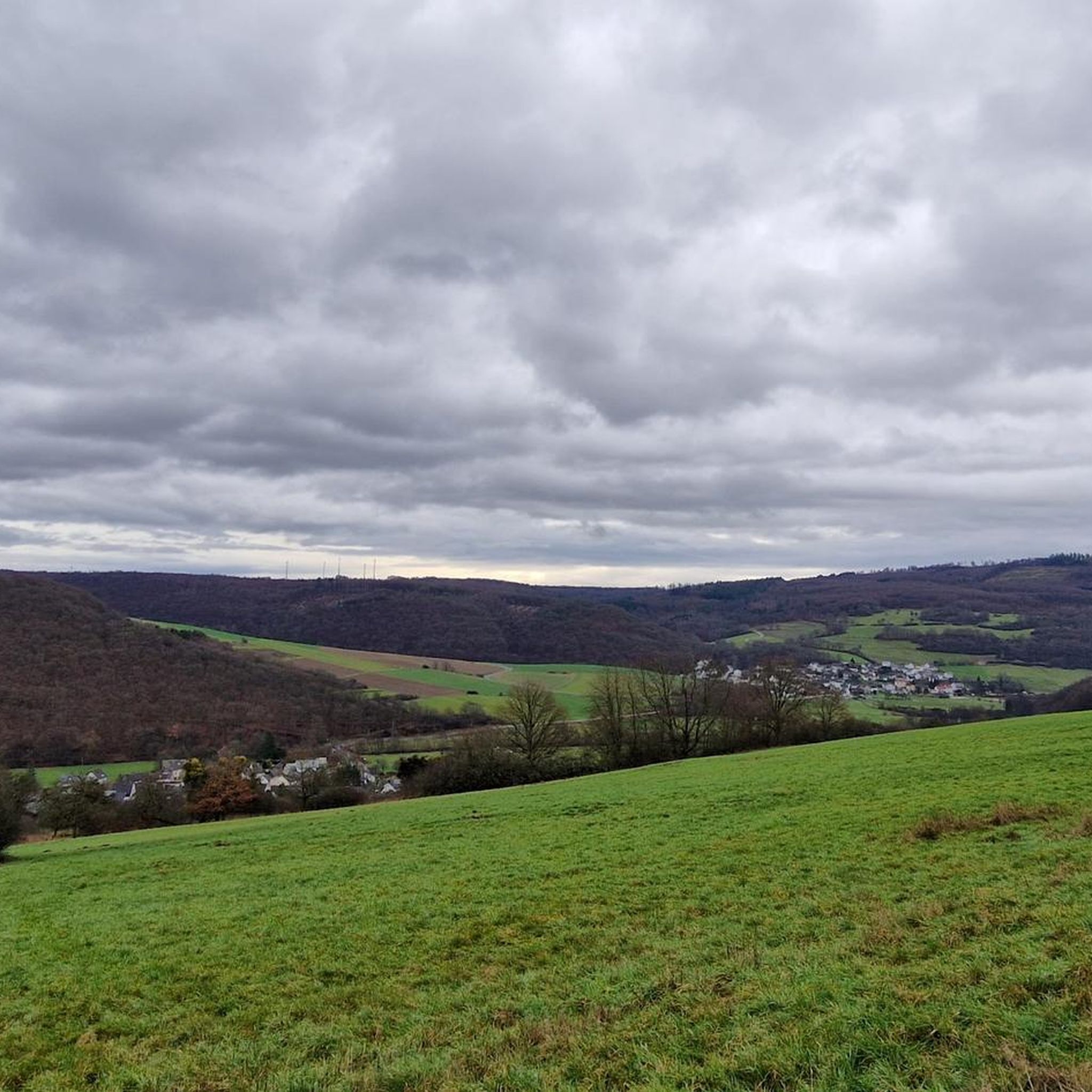
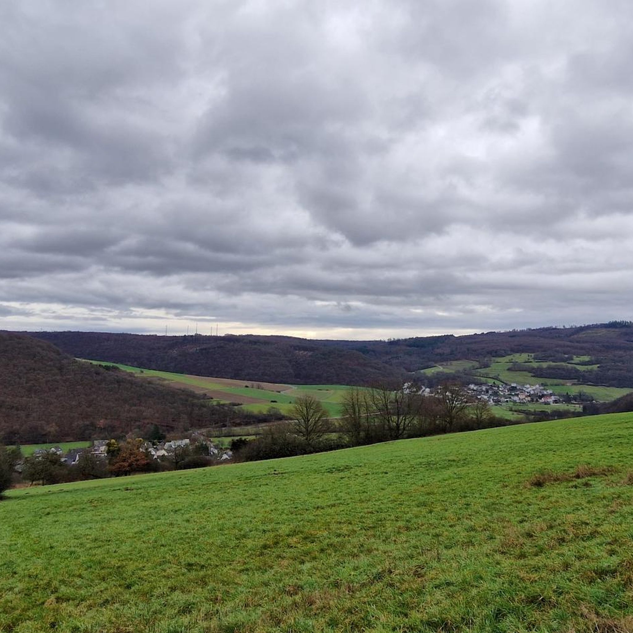
Hiking around Stahlhofen, located in the Westerwald region, offers diverse trails through scenic landscapes. The area is characterized by rolling hills, woodlands, and notable natural features like the Wiesensee and Holzbachschlucht. These physical features provide varied terrain for outdoor activities, from gentle paths to more challenging ascents.
Best hiking trails around Stahlhofen
- The most popular hiking route is Stahlhofen Church – Gelbachtal Valley loop from Stahlhofen, a 4.5 miles (7.2 km) moderate trail that takes 2 hours 2 minutes…
Last updated: October 4, 2026
4.0
(2)
20
hikers
7.20km
02:03
170m
170m
Moderate hike. Good fitness required. Easily-accessible paths. Suitable for all skill levels.
4.0
(2)
16
hikers
Easy hike. Great for any fitness level. Easily-accessible paths. Suitable for all skill levels.

5.0
(1)
16
hikers
6.45km
01:44
80m
80m
Easy hike. Great for any fitness level. Easily-accessible paths. Suitable for all skill levels.
6
hikers
Easy hike. Great for any fitness level. Easily-accessible paths. Suitable for all skill levels.
11
hikers
Easy hike. Great for any fitness level. Easily-accessible paths. Suitable for all skill levels.
Get access to more routes and recommendations from other explorers.
Already have an account?
Our route recommendations are based on thousands of hikes, rides, and runs completed by other people on komoot.
Start today with a free account
Your next adventure awaits.

Tips from the Community

Popular tourist restaurant. Delicious food and drink and also events. Due to its popularity, it is essential to reserve a table in advance.
0
0

Nice place with a barbecue hut between Stahlhofen and Giershausen. With a fountain ("No drinking water"). The path is a great alternative to the road - very beautiful/idyllic and easy to ride!
1
0

Sculpture trail is highly recommended
1
0

Just beautiful ...
1
0

A hut + barbecue area, opportunity for a break
1
0
On the basalt path above Bladernheim there is this display board, which gives you interesting information about the volcanoes in the Westerwald. Worth reading!
3
0

Information board: The Dielkopf
0
0
A cross by the wayside
0
0
Frequently Asked Questions
How many hiking trails are available around Stahlhofen?
Stahlhofen offers a diverse network of over 14 hiking trails. These routes cater to various preferences, with 13 classified as easy and 1 as moderate, ensuring options for different fitness levels.
What is the general terrain and difficulty of hiking trails in Stahlhofen?
The hiking trails around Stahlhofen are characterized by rolling hills, woodlands, and notable natural features. While most routes are easy, such as the Stahlhofen Church – Sculpture Trail Reckenthal loop from Stahlhofen, there are also moderate options like the Stahlhofen Church – Gelbachtal Valley loop from Stahlhofen, which explores varied terrain.
Are there any circular hiking routes in Stahlhofen?
Yes, many trails in Stahlhofen are designed as circular routes, offering convenient starting and ending points. Examples include the easy View of Montabaur Basin – View toward Köppel loop from Stahlhofen and the Sculpture Trail Reckenthal – Stahlhofen Church loop from Stahlhofen. The Kleiner Wäller Wiesensee also features a barrier-free circular route.
What natural features or landmarks can I see while hiking in Stahlhofen?
Hikers can explore several natural features and landmarks. The Wiesensee is a significant natural highlight, offering scenic views. The Holzbachschlucht (Holzbach Gorge) is another picturesque area. You can also discover various caves, such as the Wolf Cave, or enjoy panoramic views from the Köppel Observation Tower.
Are there family-friendly hiking options in Stahlhofen?
Absolutely. Stahlhofen offers several easy trails suitable for families. The Kleiner Wäller Wiesensee features a barrier-free, circular route that is approximately 6.4 kilometers long and accessible with strollers or wheelchairs, making it ideal for families with young children.
Can I hike with my dog in Stahlhofen?
Yes, many trails around Stahlhofen are suitable for hiking with dogs. The diverse landscapes and woodlands provide ample opportunities for you and your canine companion to enjoy the outdoors. Always ensure your dog is under control and respect local wildlife.
What is the best time of year to go hiking in Stahlhofen?
Stahlhofen is an appealing hiking destination throughout the seasons. Spring and autumn offer pleasant temperatures and vibrant scenery. Even in colder winters, the frozen Wiesensee can provide unique walking opportunities. The Holzbachschlucht is enjoyable even in less ideal weather conditions.
Is there parking available for hikers in Stahlhofen?
While specific parking areas for each trail are not detailed, Stahlhofen, as a popular outdoor destination, generally offers parking facilities near trailheads or in the village center. It's advisable to check local signage upon arrival.
How can I get to the hiking trails in Stahlhofen using public transport?
Information on specific public transport links directly to trailheads is not readily available. However, Stahlhofen is part of the Westerwald region, which has a public transport network. It's recommended to check regional bus schedules for connections to Stahlhofen.
What do other hikers say about the trails in Stahlhofen?
The trails in Stahlhofen are highly rated by the komoot community, with an average score of 4.3 stars from over 400 reviews. Hikers often praise the diverse trails, scenic landscapes, and the variety of options available for different ability levels.
Are there places to eat or stay near the hiking trails in Stahlhofen?
Yes, the region around Stahlhofen offers refreshment opportunities and accommodation. The Kleiner Wäller Wiesensee trail, for instance, features benches and places for refreshments along its route. For more options, you can find cafes, pubs, and hotels in Stahlhofen and nearby towns.
Are there any caves to explore near Stahlhofen?
Yes, the area around Stahlhofen features several interesting caves. You can explore highlights such as the Wolf Cave, the Rock Tomb at the end of the St. Bartholomäus Church Way of the Cross, or the Old Women's Cave.
What are some notable viewpoints or peaks around Stahlhofen?
For impressive views, consider visiting the Köppel Observation Tower. Other notable peaks and viewpoints include the Alarmstange (545 m), which is the highest point of the Montabaurer Höhe, and the Malberg summit.
Most popular routes around Stahlhofen
Most popular attractions around Stahlhofen

Get inspired with the komoot mobile app


Explore more
Browse the best Hikes in other regions.
