The best road cycling routes around Stallwang
4.2
(68)
1,000
riders
13
rides
Road cycling routes around Stallwang are situated on the edge of the Bavarian Forest, offering diverse terrain for cyclists. The region features rolling hills, green meadows, and quiet roads, providing varied cycling experiences. Cyclists can find routes ranging from paved roads to cycleways, with options for different distances and ascents. This area serves as a gateway to the broader Bavarian Forest, known for its extensive bike path network.
Best road cycling routes around Stallwang
- The most popular road cycling route…
Last updated: October 13, 2026
3.5
(4)
14
riders
32.7km
01:29
370m
370m
Moderate road ride. Good fitness required. Mostly well-paved surfaces and easy to ride.
12
riders
56.0km
02:13
240m
240m
Moderate road ride. Good fitness required. Mostly well-paved surfaces and easy to ride.

7
riders
Moderate road ride. Good fitness required. Mostly well-paved surfaces and easy to ride.
8
riders
68.0km
03:14
920m
920m
Hard road ride. Very good fitness required. Mostly well-paved surfaces and easy to ride.
5.0
(1)
10
riders
75.4km
03:08
480m
480m
Moderate road ride. Good fitness required. Mostly well-paved surfaces and easy to ride.
Get access to more routes and recommendations from other explorers.
Already have an account?
Our route recommendations are based on thousands of hikes, rides, and runs completed by other people on komoot.
Start today with a free account
Your next adventure awaits.
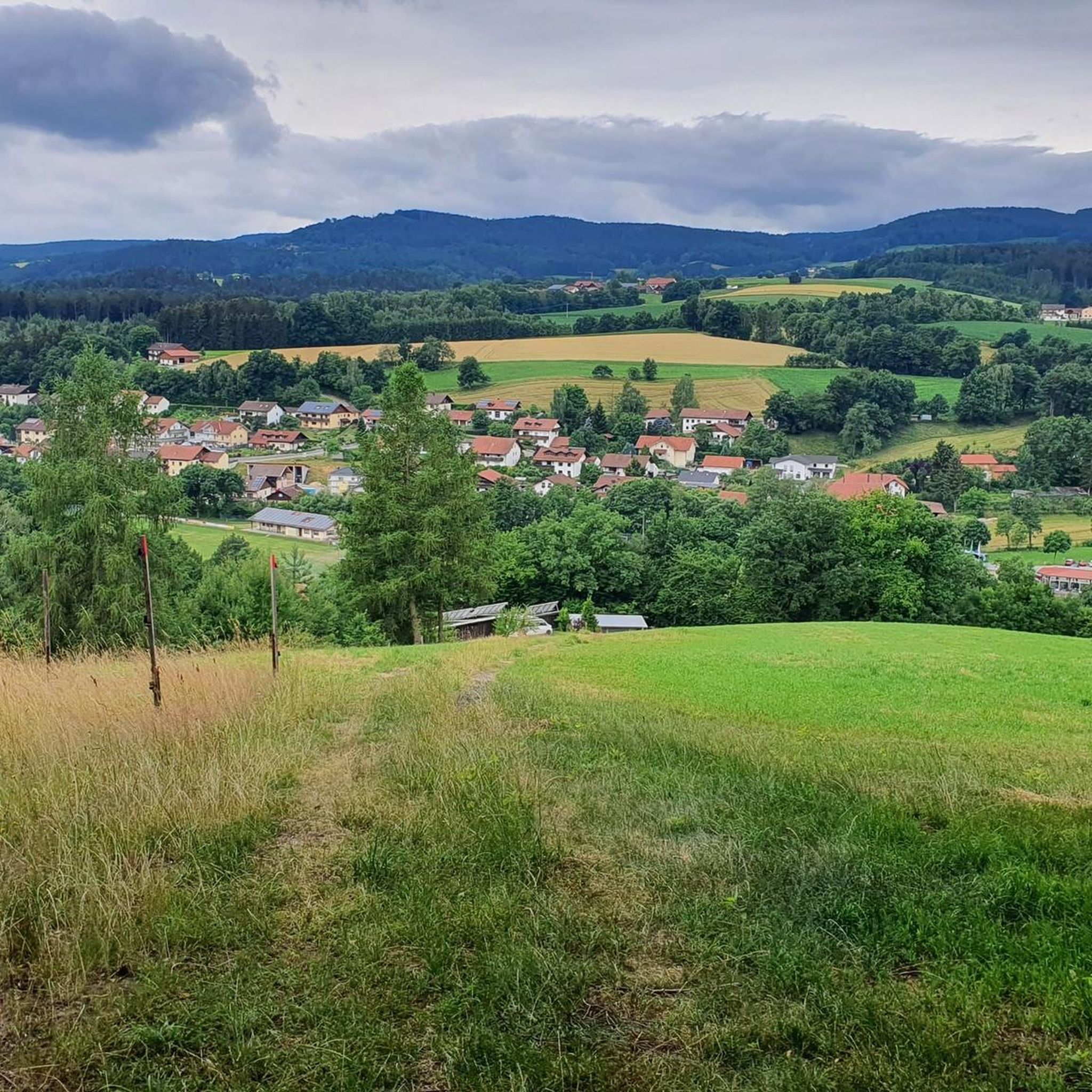
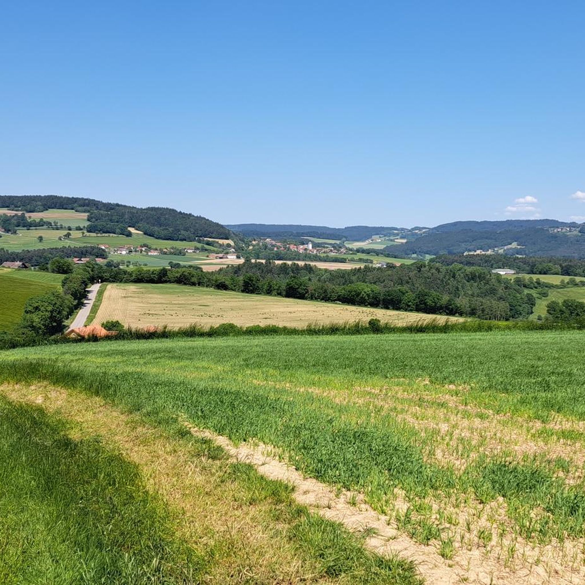
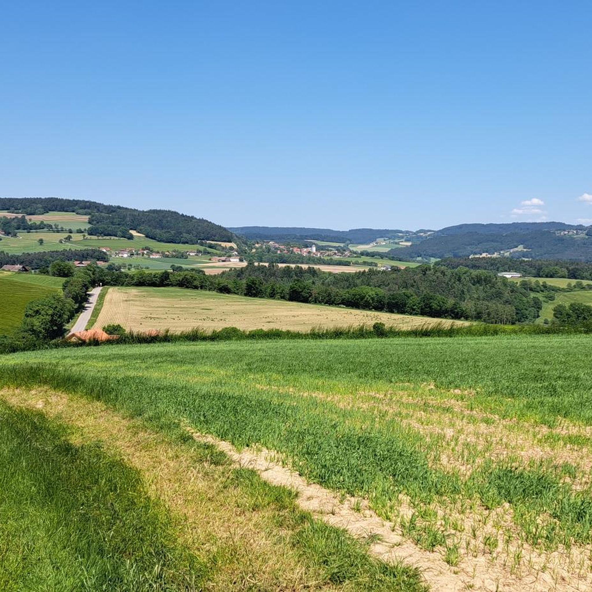
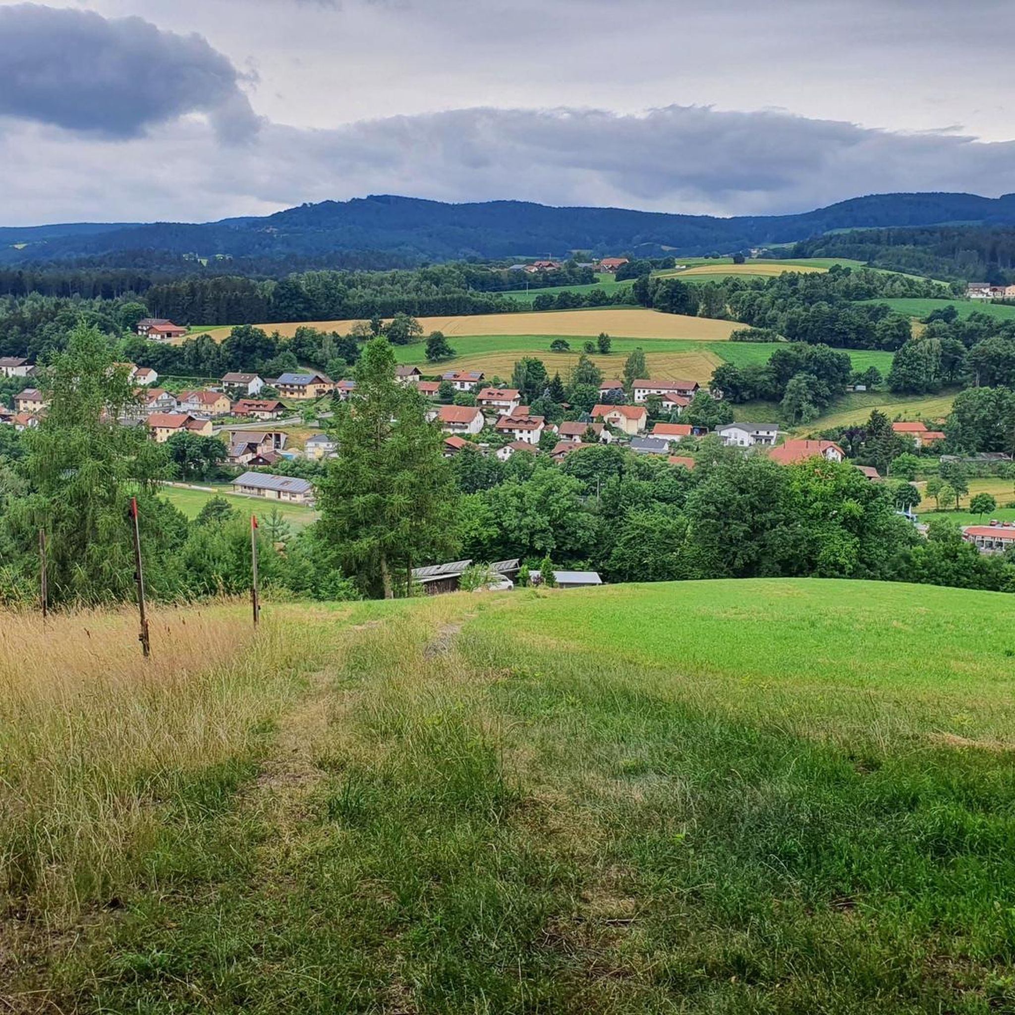
Tips from the Community


gives some nice spots on the Danube to linger
0
0


our village should become more beautiful ;-)
0
0
is mostly nice and quiet, but drags on like chewing gum
0
0

Village square in Perasdorf, beautifully maintained and perfect for a short break.
0
0

It's good here
0
0
Frequently Asked Questions
How many road cycling routes are available around Stallwang?
There are over 15 road cycling routes around Stallwang, offering a variety of experiences. These routes are highly rated by the komoot community, with an average score of 4.5 stars from over 50 reviews.
What kind of terrain can I expect on road cycling routes in Stallwang?
Road cycling around Stallwang, situated on the edge of the Bavarian Forest, features diverse terrain. You'll encounter rolling hills, green meadows, and quiet roads, with options ranging from paved roads and asphalt to dedicated cycleways. The region is known for its scenic views and offers both moderate rides and more challenging climbs.
Are there road cycling routes suitable for beginners or families in Stallwang?
While the routes around Stallwang are generally moderate to difficult, the region's diverse terrain means you can find paths suitable for various fitness levels. For a moderate ride with scenic views, consider the Drinking Water Fountain loop from Stallwang, which is about 32.7 km long.
What are some longer road cycling routes for experienced riders in Stallwang?
For experienced riders seeking a longer challenge, routes like the Hermitage – Jagawirt Aumbach loop from Landorf offer a difficult 68.2 km ride with significant elevation gain. Another option is the Oberalteich Church loop from Landorf, a moderate 75.3 km route.
What is the best time of year for road cycling in Stallwang?
The spring and summer months are generally the best times for road cycling in Stallwang and the broader Bavarian Forest. During these seasons, you can expect pleasant weather and clear roads, ideal for enjoying the scenic landscapes.
Are there any scenic viewpoints or natural attractions along the road cycling routes?
Yes, the region offers numerous scenic viewpoints and natural attractions. You might encounter views of the Danube River on routes like the Oberalteich Church – Danube River loop from Landorf. The broader Bavarian Forest is characterized by rolling hills and idyllic lakes. Notable peaks like Käsplatte Summit and Hadriwa Summit Cross are also in the vicinity, offering magnificent nature.
Can I find any historical landmarks or cultural sites along the routes?
Absolutely. The Oberalteich Church – Danube River loop from Landorf passes by the historic Oberalteich Church. The 12th-century Oberalteich Monastery, with its impressive architecture, is also a worthwhile attraction in the vicinity for those interested in history.
Are there loop trails available for road cycling in Stallwang?
Yes, many of the road cycling routes around Stallwang are designed as loops, allowing you to start and end at the same point. Examples include the Drinking Water Fountain loop from Stallwang and the Village Square in Perasdorf – Wasserspiele Miniature Village loop from Landorf.
What are the typical distances and durations for road cycling routes in Stallwang?
Routes vary significantly in distance and duration. You can find moderate rides like the Drinking Water Fountain loop from Stallwang, which is 32.7 km and takes about 1 hour 29 minutes. Longer, more challenging routes, such as the Village Square in Perasdorf – Wasserspiele Miniature Village loop from Landorf, can be up to 64.2 km and take around 3 hours 2 minutes.
What do other road cyclists enjoy most about road cycling in Stallwang?
The area is highly rated by the komoot community, with an average score of 4.5 stars. Reviewers often praise the diverse terrain, ranging from rolling hills to quiet roads, and the scenic beauty of the Bavarian Forest backdrop. The variety of routes catering to different skill levels is also frequently highlighted.
Are there any specific natural monuments to look out for?
Yes, the region around Stallwang features several natural monuments. You might encounter formations like Devil's Rock or the Teufelsstein Rock Formation, which add unique points of interest to your ride.
Most popular attractions around Stallwang

Get inspired with the komoot mobile app


Explore more
Browse the best Road cycling routes in other regions.
