The best cycling routes around Stanz bei Landeck
4.3
(1428)
11,533
riders
104
rides
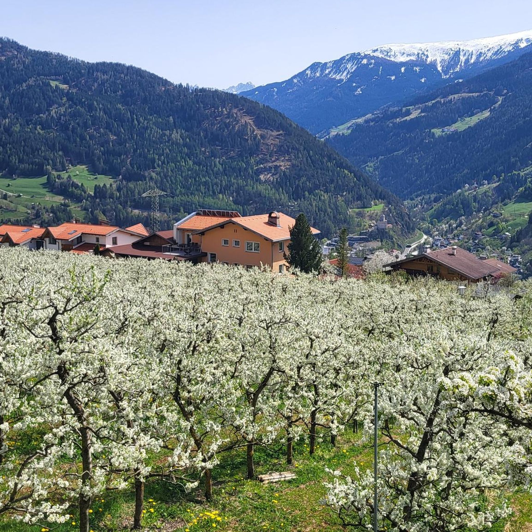
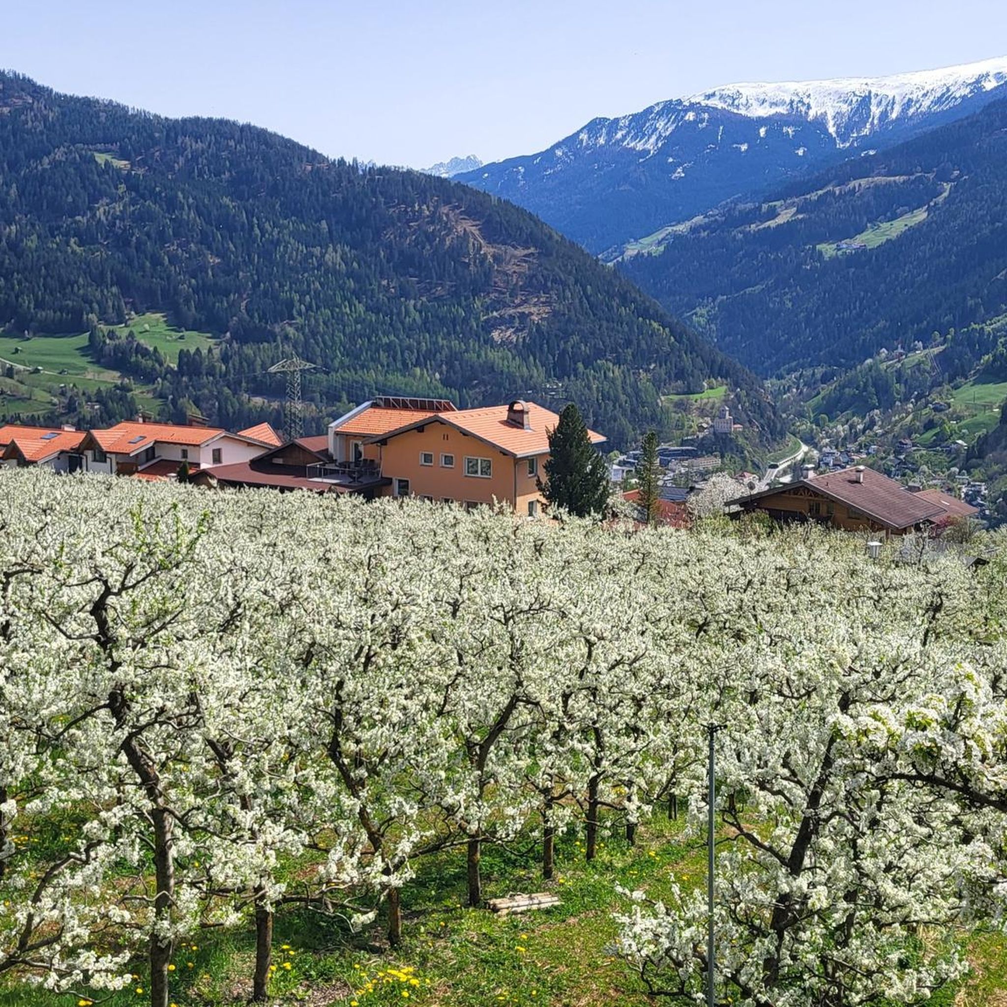
Touring cycling around Stanz bei Landeck offers routes through the Inn Valley, surrounded by the Tyrolean Alps. The region is characterized by mountains, lush valleys, and the Inn River, providing varied terrain for cyclists. Stanz bei Landeck is situated on a terrace above Landeck, offering views of the surrounding alpine landscape. The area features a network of paths suitable for different cycling preferences.
Best touring cycling routes around Stanz bei Landeck
- The most popular touring cycling route is View of…
Last updated: October 11, 2026
4.6
(217)
1,843
riders
36.0km
02:09
250m
250m
Moderate bike ride. Good fitness required. Mostly paved surfaces. Suitable for all skill levels.
4.6
(28)
365
riders
51.2km
03:41
1,040m
1,040m
Hard bike ride. Very good fitness required. Mostly paved surfaces. Suitable for all skill levels.

4.8
(13)
233
riders
Hard bike ride. Very good fitness required. Mostly paved surfaces. Suitable for all skill levels.
4.9
(21)
167
riders
43.7km
03:19
1,060m
1,060m
Hard bike ride. Very good fitness required. Mostly paved surfaces. Suitable for all skill levels.
4.7
(10)
174
riders
19.1km
01:36
420m
420m
Moderate bike ride. Good fitness required. Mostly paved surfaces. Suitable for all skill levels.
Get access to more routes and recommendations from other explorers.
Already have an account?
Our route recommendations are based on thousands of hikes, rides, and runs completed by other people on komoot.
Start today with a free account
Your next adventure awaits.

Tips from the Community

At Landeck-Zams station, the journey doesn't just begin on the train; it starts right on the platform. As an important hub in the western Oberinntal valley, the station connects Tyrol with Vienna, Bregenz, Zurich, and many other destinations. Regional trains and the S-Bahn Tirol bring travelers from Innsbruck, while Railjet and Westbahn trains provide long-distance connections. Those wishing to continue their journey into the mountains will find buses, taxis, and shuttles directly at the station forecourt. From here, connections lead to the TirolWest holiday region, as well as to Kaunertal, the Reschen Pass, Serfaus-Fiss-Ladis, Paznaun, and the Arlberg. A good station maxim is therefore: whoever gets off at the right hub is already a big step closer to their holiday. With ÖBB Rail&Drive, there is also a flexible option to cover the last stretch individually. This makes Landeck-Zams a practical starting point for alpine adventures.
1
0

Beautiful view from the bridge over the Inn.
2
0


From this location, there is an excellent view over the lake. 🤩 #View #Lake #Location
1
0


Wonderful cycle path along the Inn
2
1
Frequently Asked Questions
How many touring cycling routes are available around Stanz bei Landeck?
Stanz bei Landeck offers a wide selection of over 100 touring cycling routes. These paths cater to various preferences, ranging from easy river paths to challenging alpine ascents.
What is the best time of year for touring cycling in Stanz bei Landeck?
The most popular times for touring cycling in Stanz bei Landeck are typically June and August. During these months, you can expect favorable weather conditions to enjoy the scenic routes and mountain views.
Are there touring cycling routes suitable for beginners or families in Stanz bei Landeck?
Yes, Stanz bei Landeck offers several routes suitable for beginners and families. There are 12 easy touring cycling routes, many of which follow the Inn River, providing a more relaxed experience. These routes often feature gentle gradients and scenic views, perfect for a leisurely ride.
What are some challenging touring cycling routes for experienced riders?
For experienced cyclists seeking a challenge, Stanz bei Landeck has over 60 difficult routes. One such route is the Bike Path Along the Inn River – The River Inn in Landeck loop from Landeck-Zams, a 31.6-mile (50.9 km) path with significant elevation changes. Another demanding option is the View into the Kaunertal – Bridge over the Inn in Prutz loop from Landeck-Zams, which covers 27.2 miles (43.8 km) with over 1,000 meters of ascent.
Are there any circular touring cycling routes in the area?
Yes, many touring cycling routes around Stanz bei Landeck are designed as loops, allowing you to start and finish in the same location. Examples include the popular View of the Inn Valley – Bike Path Along the Inn River loop from Landeck-Zams and the more challenging View of the Trisanna Bridge – Flirsch Parish Church loop from Landeck-Zams.
What kind of scenic viewpoints can I expect along the touring cycling routes?
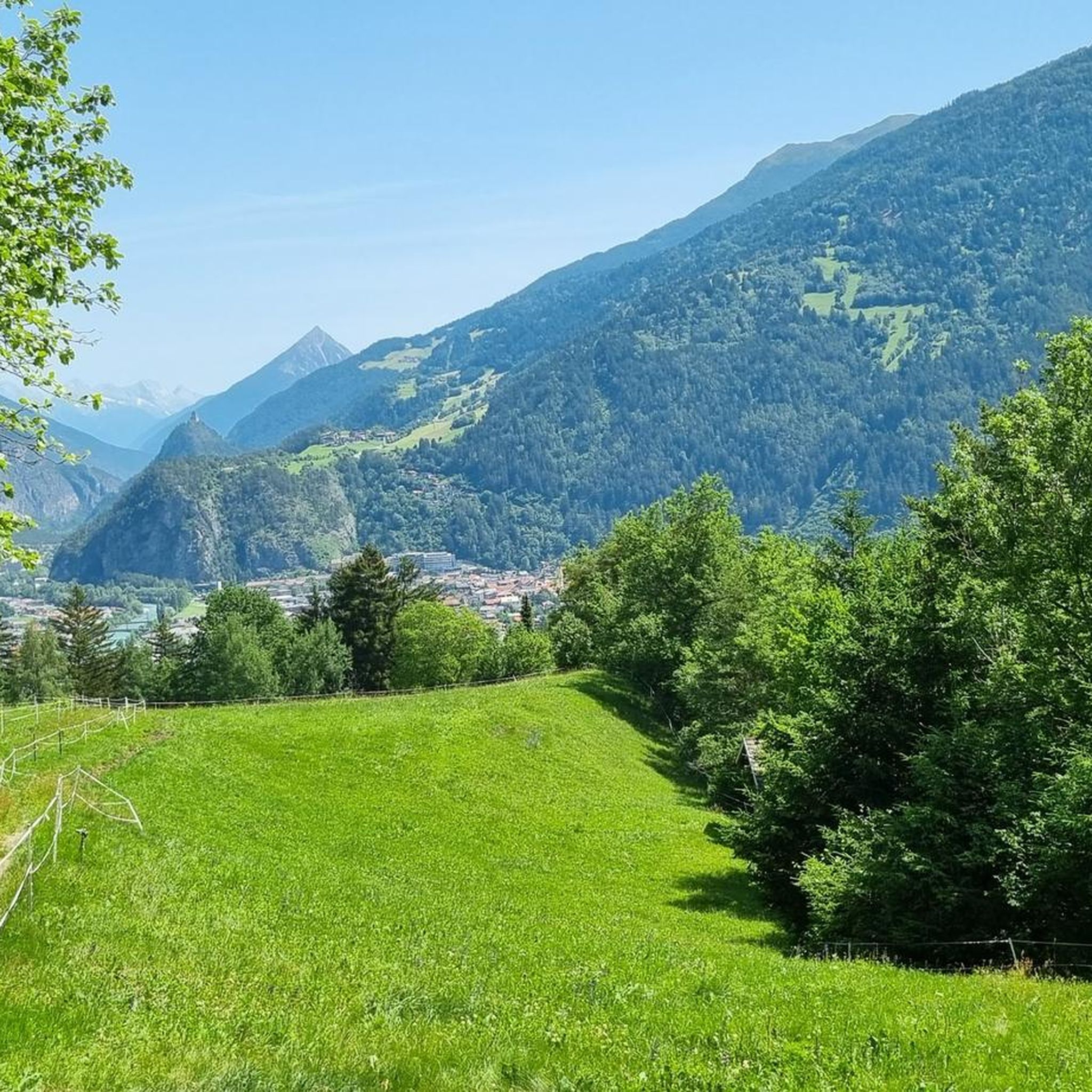
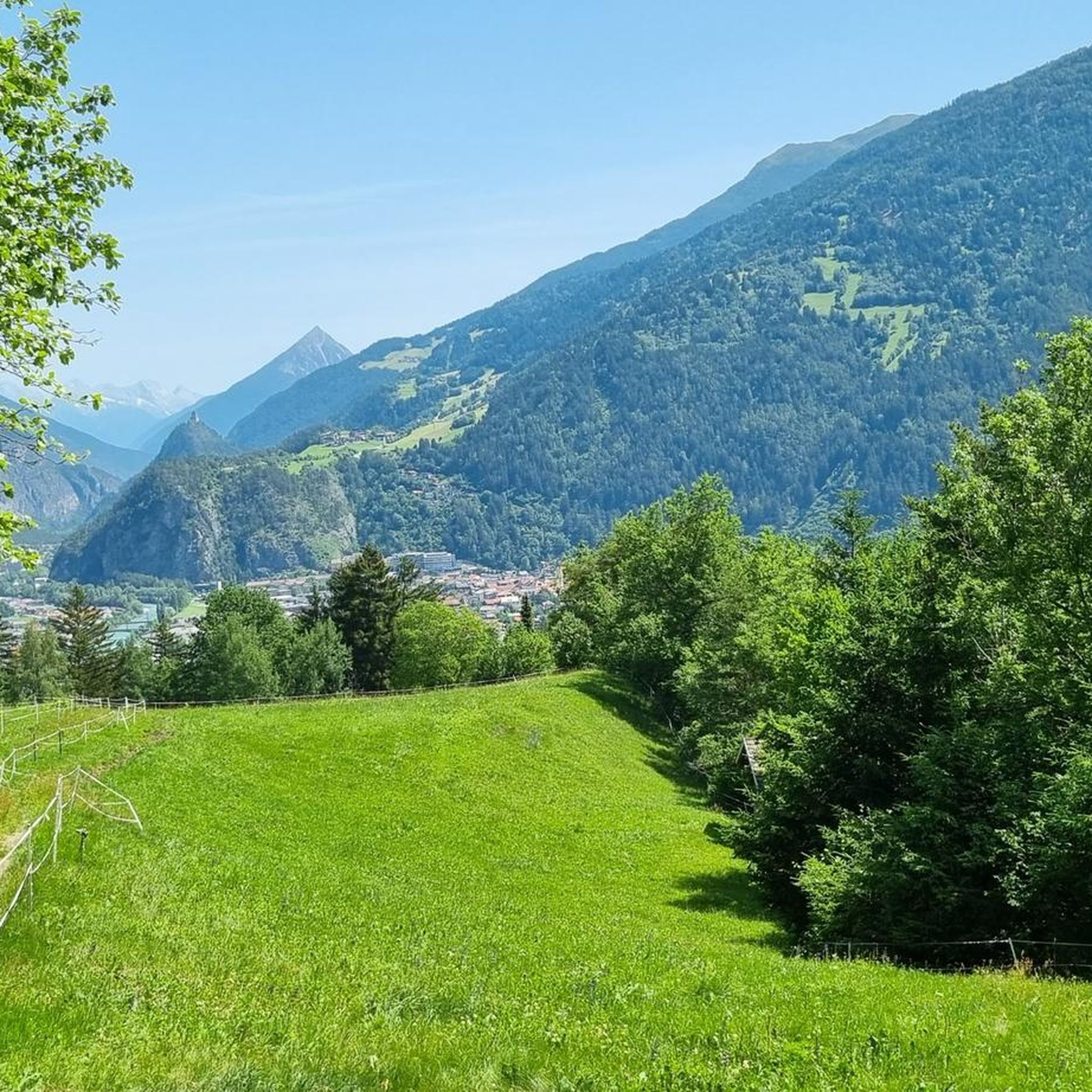
The routes in Stanz bei Landeck offer breathtaking panoramic views of the Inn Valley and the majestic Tyrolean Alps. You'll encounter picturesque mountains, lush green valleys, and opportunities to see landmarks like the Schrofenstein Castle ruins towering above the Landeck valley basin.
Are there any waterfalls or gorges accessible from the cycling routes?
Yes, the region features impressive natural attractions. You can find waterfalls like the Seewiseebach Waterfall and the Zammer Lochputz Gorge and Waterfall. Some routes might pass near these natural monuments, offering a chance to explore them on foot.
What are some interesting places to explore or attractions near the cycling paths?
Beyond the cycling, Stanz bei Landeck offers unique cultural and natural attractions. You can visit the historic Schrofenstein Castle ruins, explore sections of the Way of St. James, or discover the region's culinary heritage by visiting one of the 54 distilleries famed for the 'Stanzer Zwetschke' (Stanz Plum). The nearby Kaunergrat Nature Park also provides opportunities for further exploration.
What do other touring cyclists enjoy most about touring cycling in Stanz bei Landeck?
The komoot community rates the routes in Stanz bei Landeck highly, with an average score of 4.4 stars from over 1,200 reviews. Cyclists often praise the varied terrain, from serene river paths along the Inn to challenging alpine ascents, all set against a backdrop of stunning mountain views.
Are there options for e-biking in Stanz bei Landeck?
While specific e-bike routes are not detailed, the diverse terrain of Stanz bei Landeck, ranging from easy valley paths to more challenging mountain climbs, makes it an excellent region for e-biking. E-bikes can help riders of varying fitness levels enjoy the longer distances and significant elevation changes found on many routes.
Can I find cafes or pubs along the touring cycling routes in Stanz bei Landeck?
Stanz bei Landeck is known as an 'Austrian Culinary Region,' particularly for its fruit schnapps. While specific cafes and pubs on every route are not listed, the region's focus on culinary delights suggests that you will find opportunities to stop for refreshments, especially in villages and towns along the Inn Valley and within Stanz itself.
Are there any long-distance touring cycling trails that pass through or near Stanz bei Landeck?
Yes, Stanz bei Landeck is a gateway to several longer cycling excursions. Cyclists can embark on journeys such as 'Landeck to Glorenza' (76.1 km), 'Landeck-Innsbruck' (78 km), or 'Day 3: Landeck - Reschensee' (63 km). These routes often involve significant ascents and descents through alpine terrain, connecting to broader regional networks.
Most popular routes around Stanz bei Landeck
Most popular attractions around Stanz bei Landeck

Get inspired with the komoot mobile app


Explore more
Browse the best Cycling routes in other regions.
