The best cycling routes around Arvier
4.5
(160)
2,740
riders
62
rides
Touring cycling routes around Arvier are situated in the Aosta Valley, characterized by its mountainous landscape, deep valleys, and the Dora Baltea river. The region features a mix of challenging ascents and scenic valley paths, often passing through historic villages and past ancient castles. Terrain includes paved roads, gravel tracks, and routes alongside rivers, offering diverse cycling experiences.
Best touring cycling routes around Arvier
- The most popular touring cycling route is Along the Valsavaranche in the Gran Paradiso National Park…
Last updated: August 15, 2026
4.7
(12)
87
riders
Hard bike ride. Very good fitness required. Mostly paved surfaces. Suitable for all skill levels.
22
riders
24.5km
01:54
660m
660m
Hard bike ride. Very good fitness required. Mostly paved surfaces. Suitable for all skill levels.

Sign up for free
97
riders
57.4km
03:53
870m
870m
Hard bike ride. Very good fitness required. Mostly paved surfaces. Suitable for all skill levels.
5.0
(1)
65
riders
51.9km
03:54
1,250m
1,250m
Hard bike ride. Very good fitness required. You may need to push your bike for some segments of this route.
5.0
(1)
39
riders
Moderate bike ride. Good fitness required. Mostly paved surfaces. Suitable for all skill levels.
Get access to more routes and recommendations from other explorers.
Sign up for free
Already have an account?
Our route recommendations are based on thousands of hikes, rides, and runs completed by other people on komoot.
Start today with a free account
Your next adventure awaits.
Login or Signup
Popular around Arvier
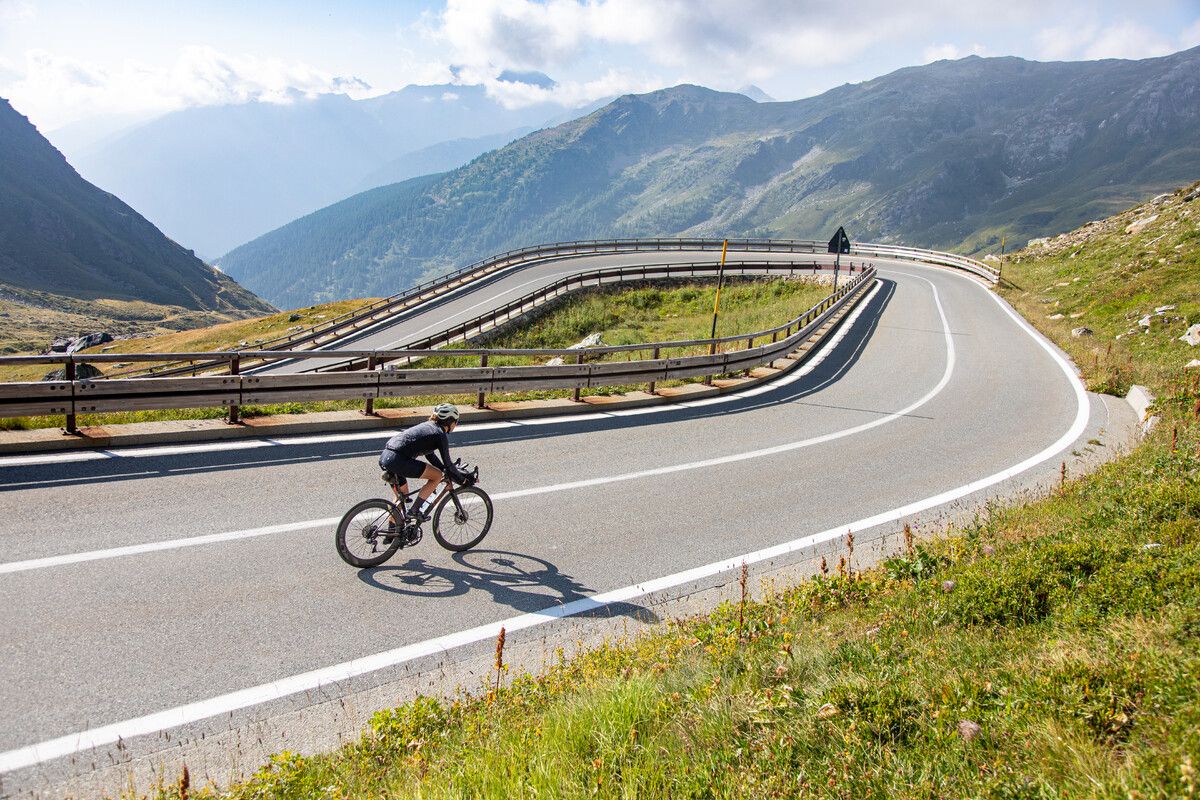
Road cycling in the Aosta Valley – major climbs and alpine routes

Alta Via n. 2 of the Aosta Valley — high peaks and beautiful valleys in Italy
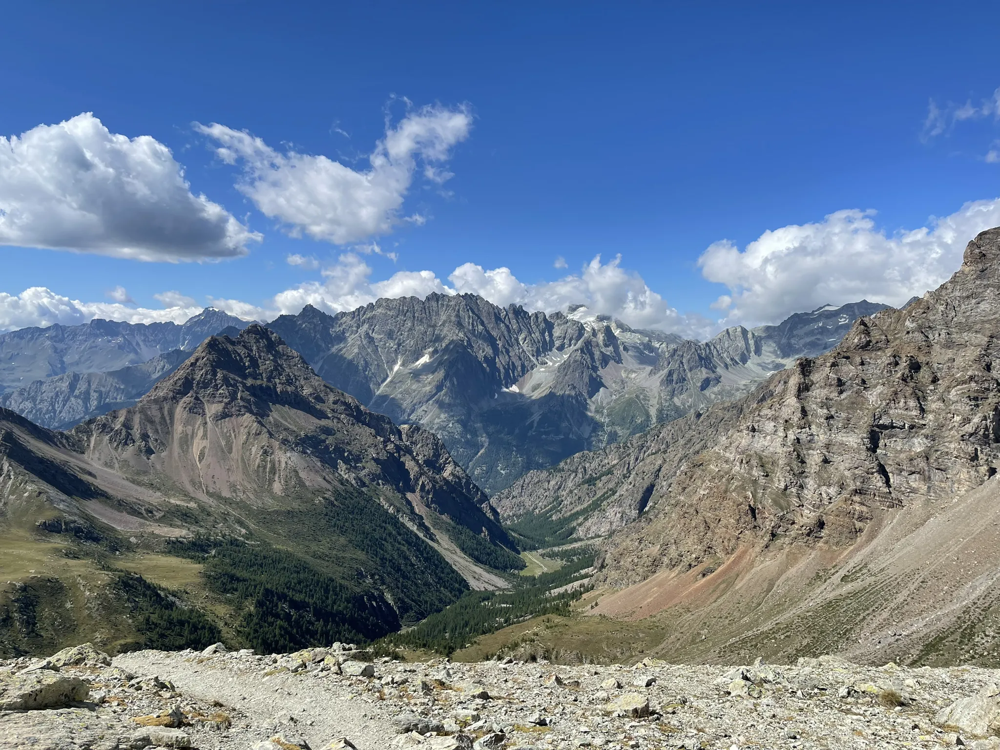
Running between the giants of the Alps – Tor des Géants
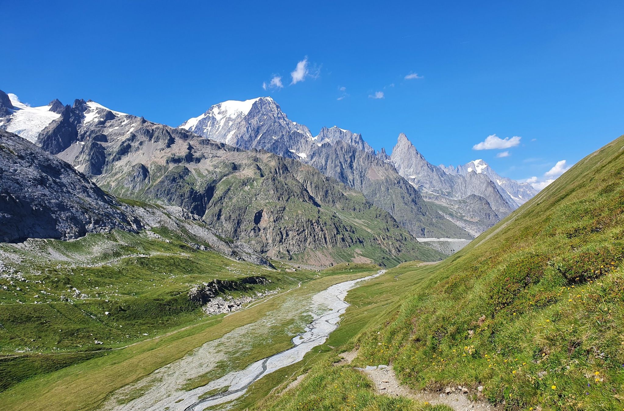
High peaks and beautiful valleys in Italy – Aosta Valley’s Alta Via Trail 2
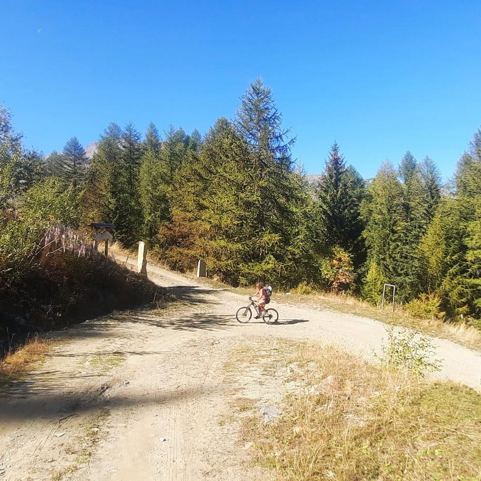
Hiking around Arvier
Road Cycling Routes around Arvier
MTB Trails around Arvier
Running Trails around Arvier

Gravel biking around Arvier

Mountain Hikes around Arvier
Other adventures around Arvier


Tips from the Community

When coming down from St. Bernhard, perhaps take a break here and stop for refreshments, because Aosta city unfortunately lacks the romance of a mountain village.
0
0
is located directly on the main road, ideal for a quick visit from Aosta city
0
0

The Municipality of Gignod embodies the true essence of the Aosta Valley mountains, strategically located along the ancient routes of the Via Francigena. Surrounded by lush forests and imposing peaks towards the Gran San Bernardo, this picturesque territory combines nature, culture, and ancient traditions in a suggestive alpine setting, proving to be the perfect destination for a regenerating stop during an outdoor itinerary or for a day exploring the high-altitude beauties. Beyond the breathtaking panoramas, Gignod is a crossroads of stories to be experienced at a slow pace, where the strong connection with the land is expressed through excursions to the historic medieval Tower, bike rides on pristine trails, and moments of absolute tranquility. A perfect balance between historical heritage, spectacular landscapes, and deep relaxation, ideal for immersing yourself completely in the charm of the Aosta Valley. The Municipality of Gignod is also the ideal place to recharge your e-Bike and earn DINAclub points. Find out how at: dinaclub.repower.com To discover the territory, here is an itinerary ready to be cycled: komoot.com/tour/2955453853
0
0

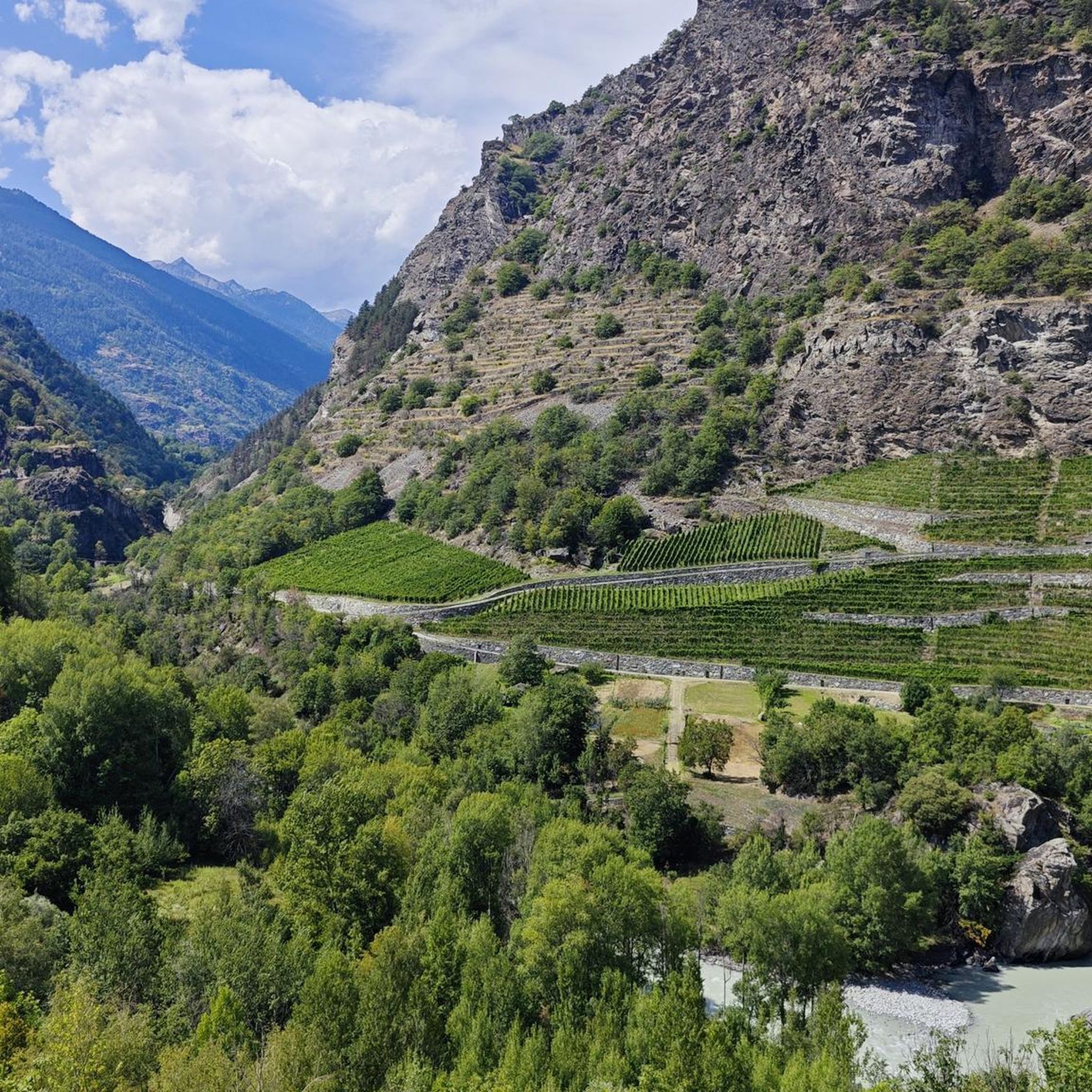
Arvier is located in a small basin in the central valley, surrounded by terraced vineyards and crossed by the Dora Baltea river. The village preserves traces of its medieval past, such as the Castello di La Mothe and the Romanesque bell tower, and is one of the access points to Valgrisenche, from where various ascents to more alpine environments begin.
0
0

Seen only from the outside, very very beautiful!
0
0


Immersed in the greenery of the Favret meadows, the small church of Santa Maria Maddalena dates back to the 12th century, when it was an autonomous parish dependent on the Chapter of the Cathedral of Aosta. Its apse and bell tower, characterized by an evocative "spur" that supports the structure, preserve intact the imposing sobriety of the primordial Romanesque. Between 1460 and 1463 the church experienced a second artistic splendor: the nave was enlarged and both the external part (facade) and the interior were decorated with a rich cycle of frescoes by Giacomino da Ivrea and his itinerant workshop. The façade features lively scenes: the Mass of Saint Gregory with the blood of Christ filling the chalice; Saint George facing the dragon; Saint Christopher ferrying the Baby Jesus; and, crowning all, Saint Martha, Saint Mary Magdalene and Saint Lazarus. Inside, in the apse, a majestic Christ Pantocrator is revealed surrounded by the symbols of the four evangelists, while on the side walls the twelve Apostles can be distinguished. Under the arch that divides the choir and the nave, fourteen panels tell the stories of Mary Magdalene. The works of the fifteenth century were commissioned by the noble De Villa (or La Tour de Villa), lords of Gressan, or by Giacomo dei Challant, lord of Aymavilles, whose family appears in the frescoed symbols. The building maintained the status of parish until 1786, when it was incorporated into Santo Stefano, thus becoming a simple chapel. In 1938, the church was the subject of passionate restoration: the paintings, covered with lime for centuries, were recovered and brought back to their ancient splendor.
0
0
At the gates of Gressan, next to the Dora Baltea and along the cycle path that connects Sarre to Pontey, there is the splendid green area "Les Îles". Extending over a surface area of 38,959 m2, it is dedicated to the practice of traditional games and surrounded by a 1,028-meter cycle ring, which can also be used as a fitness trail, jogging track and roller skating track. The area is equipped with a children's playground, an artificial sports climbing gym, two fountains and numerous benches. Access is free, but in some periods of the year it may be partially limited to allow training and competitions of traditional local games such as rebatta, fiolet and tzan. In particular, from March 1 to May 31 and from September 1 to October 15, a part of the area and the related section of the cycle path are reserved for these activities. In the immediate vicinity there are bars, restaurants and a private sports center with a swimming pool and padel courts, both indoor and outdoor, with catering service. The entire area is connected to the Montfleury sports center in Aosta via a cycle/pedestrian walkway that crosses the Dora Baltea and is served by two convenient parking lots.
0
0
Frequently Asked Questions
How many touring cycling routes are available around Arvier?
There are over 45 touring cycling routes around Arvier, offering a wide range of experiences from moderate valley loops to challenging mountain ascents. The komoot community has explored more than 2,200 of these routes.
Are there easy touring cycling routes suitable for beginners in Arvier?
Yes, Arvier offers options for beginner touring cyclists. While many routes feature sustained climbing, there are 4 easy routes and 14 moderate routes that provide a gentler introduction to the region's cycling. For example, the Émile Chanoux Square – Sarriod de La Tour Castle loop from Arvier is a moderate trail that takes about 2 hours to complete.
What is the best time of year for touring cycling in Arvier?
The Aosta Valley, where Arvier is located, is generally best for touring cycling from late spring through early autumn. Summer offers pleasant temperatures for exploring the valley paths and higher elevations, while spring and autumn provide vibrant scenery and fewer crowds. Always check local weather conditions before heading out.
Are there family-friendly cycling routes in Arvier?
While specific 'family-friendly' routes are not explicitly detailed, the region's moderate valley loops and routes alongside rivers often provide safer and less strenuous options suitable for families. Look for routes with lower elevation gain and paved sections for a more comfortable family ride.
What historical sites or castles can I explore along touring cycling routes near Arvier?
The Arvier area is rich in history, with several castles and historic sites accessible by bike. You can find routes that pass by landmarks such as Aymavilles Castle or Introd Castle. The Émile Chanoux Square – Sarriod de La Tour Castle loop from Arvier specifically leads through historical areas.
Are there circular touring cycling routes around Arvier?
Yes, there are several circular touring cycling routes available. These loops allow you to start and end at the same point, making logistics easier. Examples include the Émile Chanoux Square – Sarriod de La Tour Castle loop from Arvier and the Gressan Green Area – Aymavilles Castle loop from Arvier.
What are the parking options for touring cyclists in Arvier?
While specific parking areas for cyclists are not detailed, Arvier and surrounding villages typically offer public parking facilities. It's advisable to check local signage upon arrival for designated parking zones, especially near popular trailheads or village centers.
Can I reach the touring cycling routes in Arvier by public transport?
The Aosta Valley has a public transport network that includes buses, which can be useful for reaching various starting points for cycling routes. However, carrying bicycles on public transport may have restrictions or require specific services, so it's best to check with local transport providers like the SVAP (Società Valdostana Autolinee Pubbliche) for current policies and schedules.
Are there places to stop for refreshments along the touring cycling routes?
Many touring cycling routes in the Arvier region pass through or near historic villages. These villages often have cafes, restaurants, or small shops where you can stop for refreshments, especially in the main valleys. It's always a good idea to carry sufficient water and snacks, particularly on longer or more remote routes.
What do other touring cyclists enjoy about the routes in Arvier?
The touring cycling routes around Arvier are highly rated by the komoot community, with an average score of 4.6 stars from over 70 reviews. Cyclists often praise the region's diverse terrain, from scenic valley paths alongside the Dora Baltea river to challenging ascents with stunning mountain backdrops, and the opportunity to pass through historic villages and past ancient castles.
Are there any routes that offer views of the Gran Paradiso National Park?
Yes, some routes provide direct access or views into the Gran Paradiso National Park. The route Along the Valsavaranche in the Gran Paradiso National Park – From Introd to Pont Valsavaranche is a prime example, offering sustained climbing through the Valsavaranche valley within the park's vicinity.
What kind of scenery can I expect on touring cycling routes around Arvier?
Touring cycling around Arvier offers a diverse range of scenery. You can expect routes that wind through deep valleys, often alongside the Dora Baltea river, with dramatic mountainous landscapes as a backdrop. Many paths also lead through charming historic villages and past ancient castles, providing a blend of natural beauty and cultural heritage.
Are there longer touring cycling routes for experienced cyclists?
Yes, Arvier offers challenging routes for experienced touring cyclists. With 31 difficult routes, you can find options like the Gressan Green Area – Aymavilles Castle loop from Arvier, which covers over 64 km with significant elevation gain, or the Val di Rhêmes Cycle Route, a difficult 24.5 km path winding through scenic mountain terrain.
Most popular attractions around Arvier

Get inspired with the komoot mobile app


Explore more
Browse the best Cycling routes in other regions.
