The best walks and hikes around Brissogne
4.4
(4139)
23,683
hikers
11
hikes
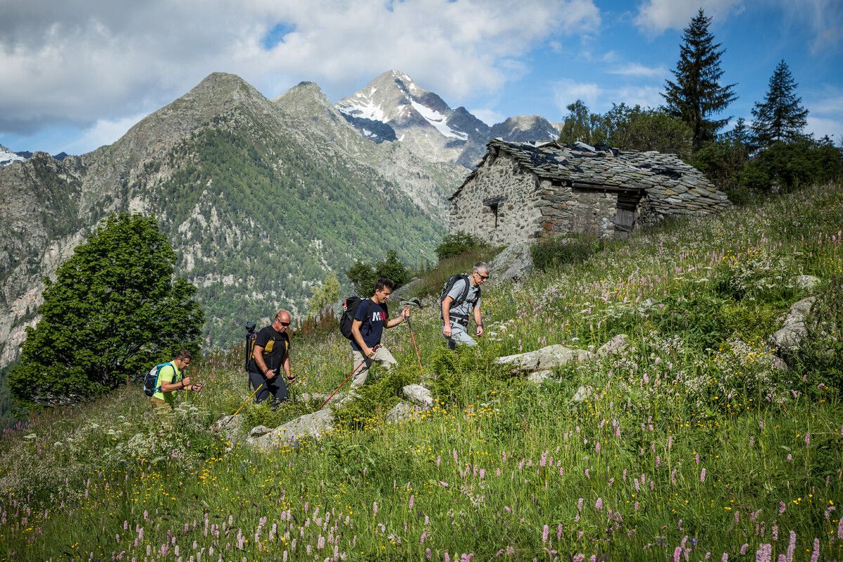
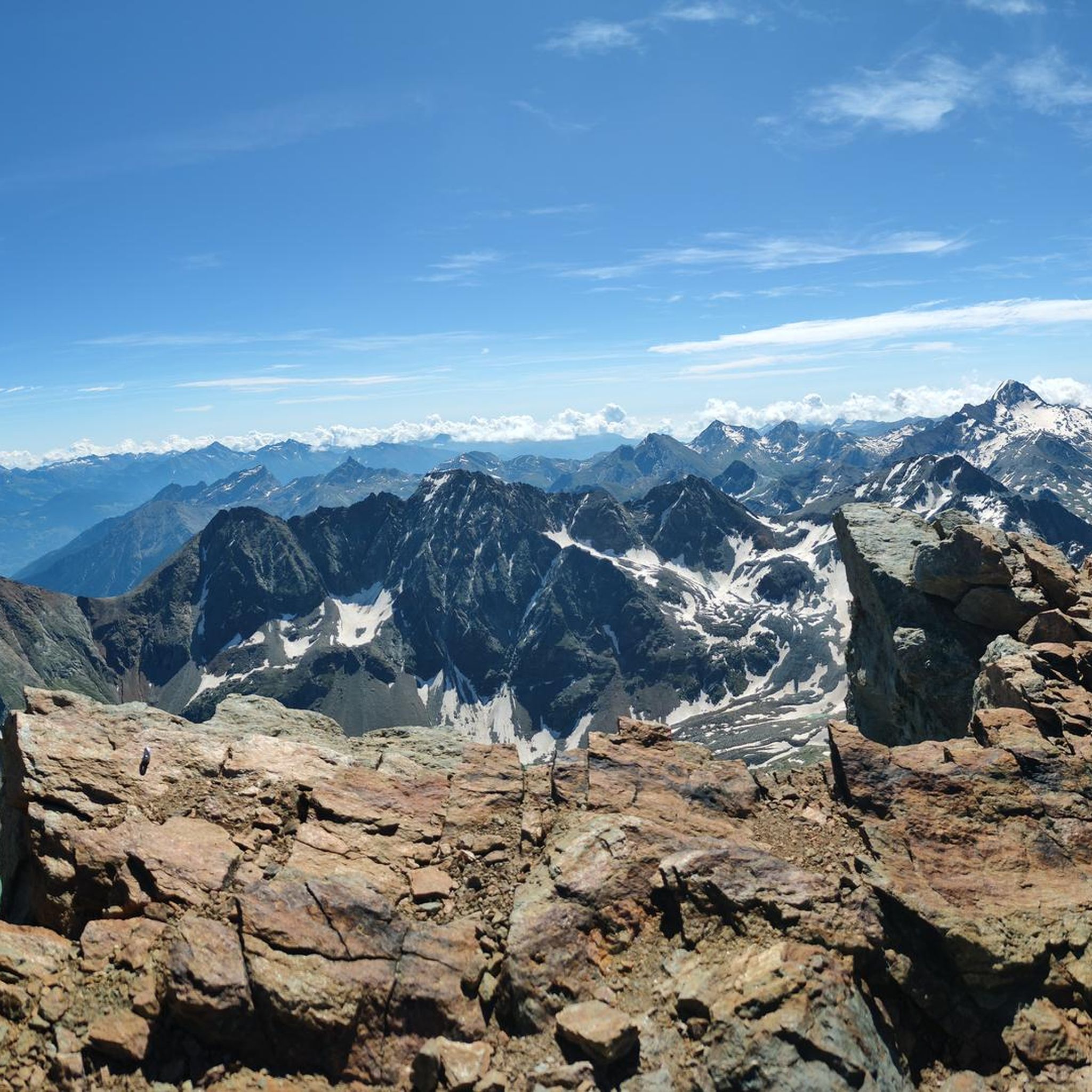
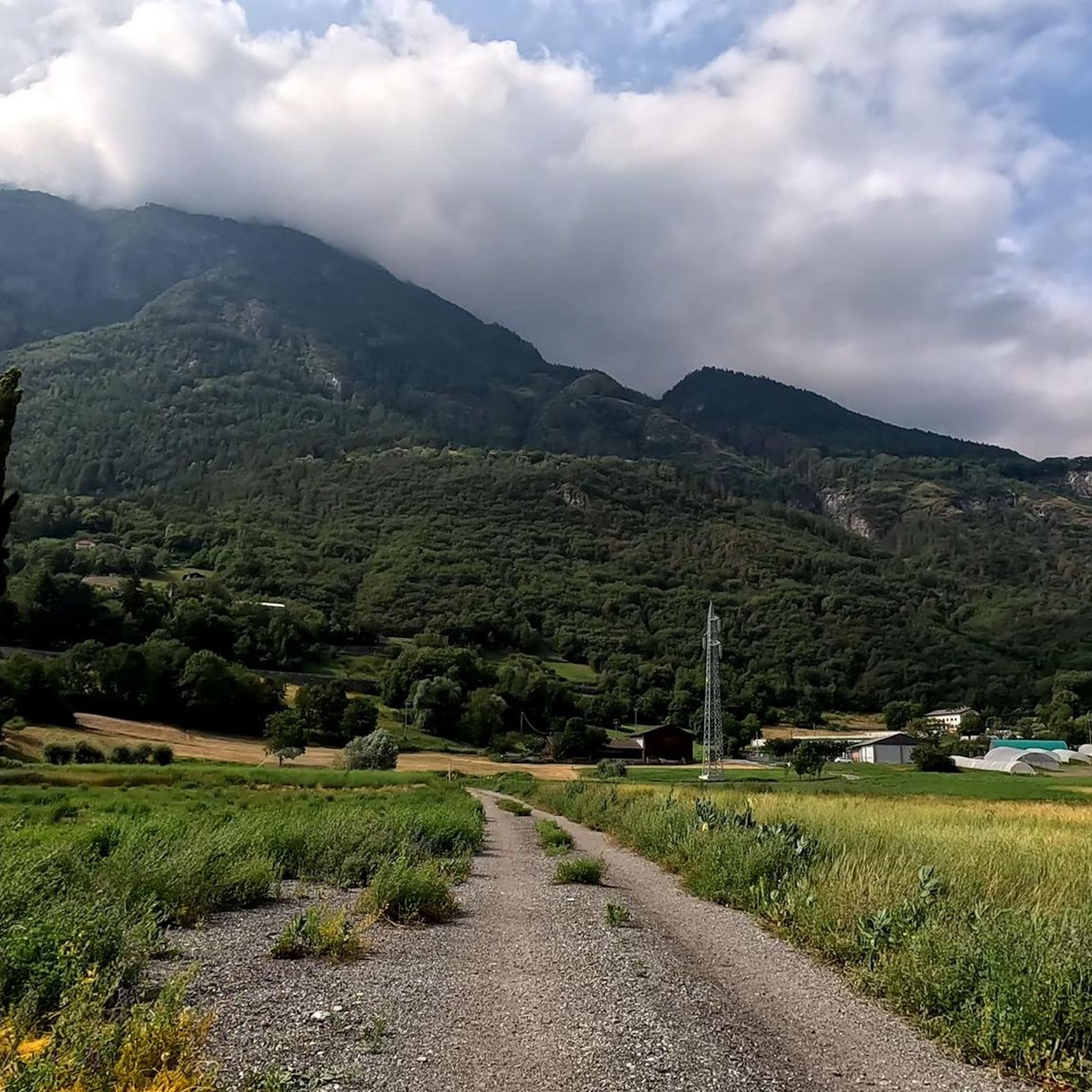
Hiking around Brissogne, located in Italy's Aosta Valley, offers diverse landscapes ranging from approximately 500 meters along the Dora Baltea river to about 2,800 meters in the surrounding mountains. The region features majestic mountainous terrain with alpine lakes, extensive evergreen and deciduous forests, and riverine ecosystems along the Dora Baltea. This varied topography provides a wide array of habitats and scenic beauty for outdoor enthusiasts.
Best hiking trails around Brissogne
- The most popular hiking route is Laures Lakes Trail from…
Last updated: August 19, 2026
4.9
(7)
68
hikers
14.9km
07:41
1,500m
1,500m
This difficult 9.2-mile hike to the Laures Lakes from Grand Brissogne features alpine scenery, waterfalls, and significant elevation gain.
6.88km
03:41
540m
540m
Historic alpine trail through shadowy Vallone de Les Laures to a remote bivouac beside turquoise mountain lakes.

Sign up for free
9.36km
04:31
580m
580m
Hike the Bivacco Menabreaz and Lago Inferiore di Laures Trail, a difficult 5.8-mile route with 1902 feet of gain to a turquoise lake.
4.8
(5)
44
hikers
21.2km
10:17
1,800m
1,800m
Hard hike. Very good fitness required. Sure-footedness, sturdy shoes and alpine experience required.
4.6
(5)
30
hikers
6.56km
01:40
20m
20m
Easy hike. Great for any fitness level. Easily-accessible paths. Suitable for all skill levels.
Get access to more routes and recommendations from other explorers.
Sign up for free
Already have an account?
Our route recommendations are based on thousands of hikes, rides, and runs completed by other people on komoot.
Start today with a free account
Your next adventure awaits.
Login or Signup

Other adventures around Brissogne

Tips from the Community

Also known as Lac d'en bas, this splendid mountain lake at 2,549 meters is the first and largest of the lakes encountered when ascending the valley. The reflection of the sun on its vast silvery surface, enclosed by a crown of rugged rock faces, offers a grandiose and wild spectacle. Walking along its grassy banks, a short distance from the Menabreaz bivouac, provides a deep sense of alpine isolation and represents the perfect reward for the long and demanding hike to get here and beyond.
0
0
Located at an altitude of 2,545 meters, this historic bivouac stands in a splendid and remote alpine basin right on the shores of the suggestive lake Les Laures. The presence of the characteristic wooden fountain, the outdoor tables, and the body of water surrounded by rugged rock faces makes this spot one of the most rewarding and exciting stops on the entire hike. A corner of authentic mountain solitude, perfect for recharging your energy and enjoying the close-up contrast between green meadows and severe peaks reflected in the lake.
0
0
When you reach the lake shore, a clear and relaxing scenery opens up around you. Take a moment to catch your breath and admire the reflections of the mountains on the water surface of the alpine lake nestled in the quiet of nature.
0
0

Les Iles: This area is a wetland in the central part of the valley, where former mining activities have led to the formation of lakes. These lakes now provide refuge and food for countless bird species. It is an important resting place for migratory birds and is also home to several breeding birds.
6
0

Path that passes near the Dora Baltea, close to artificial lakes near Lillaz, a nice quiet area for a relaxing ride
1
0

From Aosta to Saint Vincent along the Plaine cycle path and back to l’adret along the ru to Saint Christophe interspersed with dirt roads and paths. . Some push sections.
0
1

It is a wetland where artificial lakes, created in the past in the context of extractive activities, now offer shelter and food to numerous species of birds. It is a place of peace and silence.
3
0
Frequently Asked Questions
How many hiking trails are available in Brissogne?
Brissogne offers a vast network of over 600 hiking trails. These routes cater to a wide range of abilities, from easy strolls along the river to challenging alpine ascents.
What kind of terrain can I expect on hikes around Brissogne?
The terrain around Brissogne is incredibly diverse. You'll find paths ranging from approximately 500 meters above sea level along the Dora Baltea river, winding through extensive evergreen and deciduous forests, to challenging alpine routes reaching up to 2,800 meters in the surrounding mountains. Expect majestic mountain scenery, pristine alpine lakes, and lush woodlands.
Are there any easy or family-friendly hiking options in Brissogne?
Yes, Brissogne offers several accessible options. For an easy, short itinerary, consider the "Walk in the woods of Brissogne," which is about 2.75 km and takes less than an hour. The Quart Castle – Junction of the Via Francigena loop from Quart is a moderate 8.9 km route that offers a pleasant walk. The Les Îles nature reserve also provides accessible walking and cycling trails suitable for families.
Can I find challenging alpine hikes in Brissogne?
Absolutely. For experienced hikers, Brissogne is a gateway to demanding alpine adventures. The Laures Lakes Trail from Grand Brissogne is a challenging 14.9 km route with over 1,500 meters of elevation gain, leading to stunning alpine lakes. Another difficult option is the Historic Trail 3 to Bivacco Menabreaz, a 6.9 km path ascending to a remote bivouac amidst turquoise mountain lakes.
Are there any hikes that feature waterfalls or alpine lakes?
Yes, Brissogne is rich in natural water features. The Laures Lakes Trail from Grand Brissogne will lead you to beautiful alpine lakes nestled in granite cirques. You can also find stunning examples like Lake Chamolé, a mountain lake at 2300 meters, offering panoramic views. While not directly in Brissogne, the spectacular Lillaz Waterfalls in nearby Cogne are a notable attraction worth visiting.
What natural attractions or landmarks can I see near the hiking trails?
Beyond the trails themselves, Brissogne's surroundings offer several points of interest. You can explore historical sites like Quart Castle or Fénis Castle. The Les Îles nature reserve along the Dora Baltea river is a significant wetland for migratory birds. Brissogne also provides direct access to the renowned Gran Paradiso National Park, where you can visit the Giardino Alpino Paradisia, an alpine botanical garden.
Are dogs allowed on the hiking trails in Brissogne?
Many trails in Brissogne and the surrounding Aosta Valley are dog-friendly, especially those in forests and lower elevations. However, specific rules may apply in protected areas like Gran Paradiso National Park. It's always best to keep dogs on a leash and check local regulations for any particular trail or nature reserve you plan to visit.
Are there any circular hiking routes in Brissogne?
Yes, there are several circular routes available. For example, the Cross and View of Aosta loop from Aosta Valley is a moderate 9 km circular hike. The "Walk in the woods of Brissogne" can also be extended by linking with the Pollein trail to create a longer loop.
What is the best time of year to go hiking in Brissogne?
The best time for hiking in Brissogne is generally from late spring to early autumn (May to October). During these months, the weather is milder, and alpine trails are typically free of snow. Summer offers lush greenery and full access to high-altitude routes, while autumn provides stunning fall foliage. Winter hiking is possible, but requires appropriate gear and awareness of snow conditions.
What do other hikers enjoy the most about hiking in Brissogne?
The hiking routes in Brissogne are highly rated by the komoot community, with an average score of 4.4 stars from over 3,600 reviews. Hikers frequently praise the majestic mountain scenery, the tranquility of the pristine alpine lakes, and the lush forests. The diversity of trails, catering to various skill levels, is also a commonly appreciated aspect.
Is public transport available to reach hiking trailheads in Brissogne?
While some trailheads might be accessible by local bus services, public transport options can be limited for more remote alpine starting points. It's advisable to check local bus schedules in advance or consider driving to trailheads, especially for routes higher in the mountains. Parking information is often available for popular starting points.
Most popular routes around Brissogne
Most popular attractions around Brissogne

Get inspired with the komoot mobile app


Explore more
Browse the best Hikes in other regions.
