The 20 Most Amazing Peaks around Aymavilles
Best mountain peaks around Aymavilles, a village in Italy's Aosta Valley, offer diverse outdoor experiences. The region is characterized by its mountainous terrain, serving as a gateway to the Western Alps. It provides opportunities for exploring various natural features and landmarks. Aymavilles is situated in a valley known for its prominent peaks and panoramic viewpoints.
Best mountain peaks around Aymavilles
- The most popular mountain peaks is Punta Replan, a viewpoint at an altitude of 2,458 m. From this location, numerous 4,000-meter peaks like Mont Blanc and Monte Rosa are visible on the horizon. The lookout point features ceramic orientation boards to identify surrounding mountains.
- Another must-see spot is Montseuc Summit Cross, a summit with a metal cross. Visitors can expect an excellently marked path leading to a viewpoint over the Cogne valley and Valnontey, with information boards detailing local flora and fauna.
- Visitors also love Croce della Roley, a viewpoint on a rocky outcrop. This cross offers a panoramic view of the Gran Paradiso massif and the Valsavarenche valley.
- Aymavilles is known for summits, viewpoints, and challenging climbs. The area offers a variety of mountain peaks to see and explore, catering to different levels of experience.
- The mountain peaks around Aymavilles are appreciated by the komoot community, with 41 upvotes and 113 photos shared across the highlights.
Last updated: July 7, 2026
Gran Paradiso Summit
Highlight • Summit
Translated by Google •
Tip by

Croce della Roley
Highlight • Viewpoint
The cross is located at the beginning of the Nivolet plains at an altitude of 2325 m.
Source: lovevda.it/it/banca-dati/7/escursioni-in-giornata/valsavarenche/la-croce-della-roley/3128
Translated by Google •
Tip by

Sign up now to discover places like this
Get recommendations on the best single tracks, peaks, & plenty of other exciting outdoor places.
Sign up for free
Punta Replan
Highlight • Viewpoint
The lookout point is built in a circular shape and the low masonry is covered with ceramic orientation boards, which can be used to assign the names of all the mountains in the area. This also applies to the most famous 4000m peaks, such as Mont Blanc (4807 m) and Monte Rosa (4637 m).
Translated by Google •
Tip by
Grand Arpilles Trail
Highlight • Trail
Translated by Google •
Tip by

Monte Emilius Summit and Statue
Highlight • Summit
Translated by Google •
Tip by

Sign up for free to discover even more peaks around Aymavilles.
Sign up for free
Already have an account?
Start today with a free account
Your next adventure awaits.
Login or Signup
Popular around Aymavilles

Cammino Balteo – castles, vineyards and trails of the Aosta Valley

Paths, castles and views of Italy’s Aosta Valley – Cammino Balteo
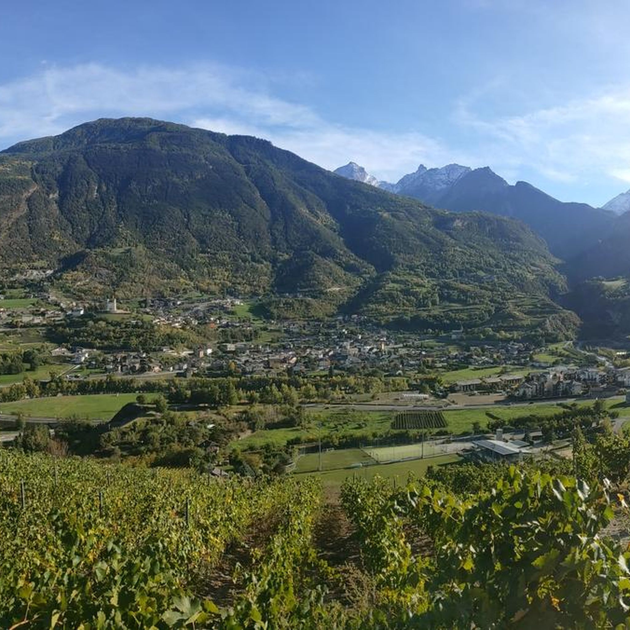
Hiking around Aymavilles
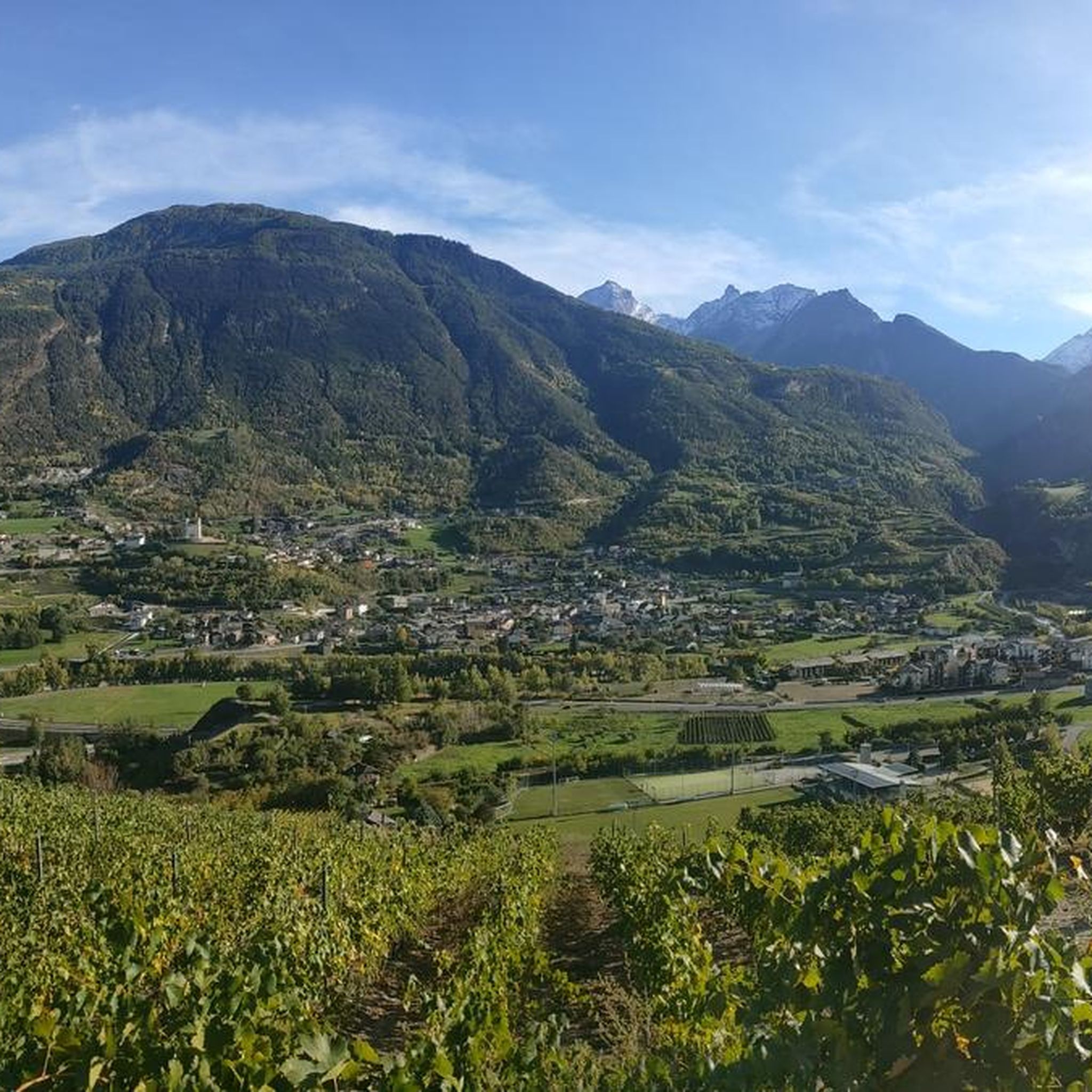
MTB Trails around Aymavilles
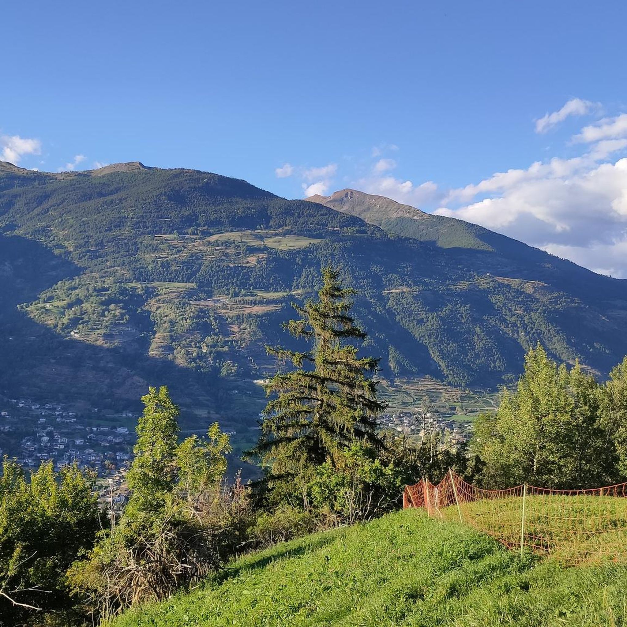
Road Cycling Routes around Aymavilles
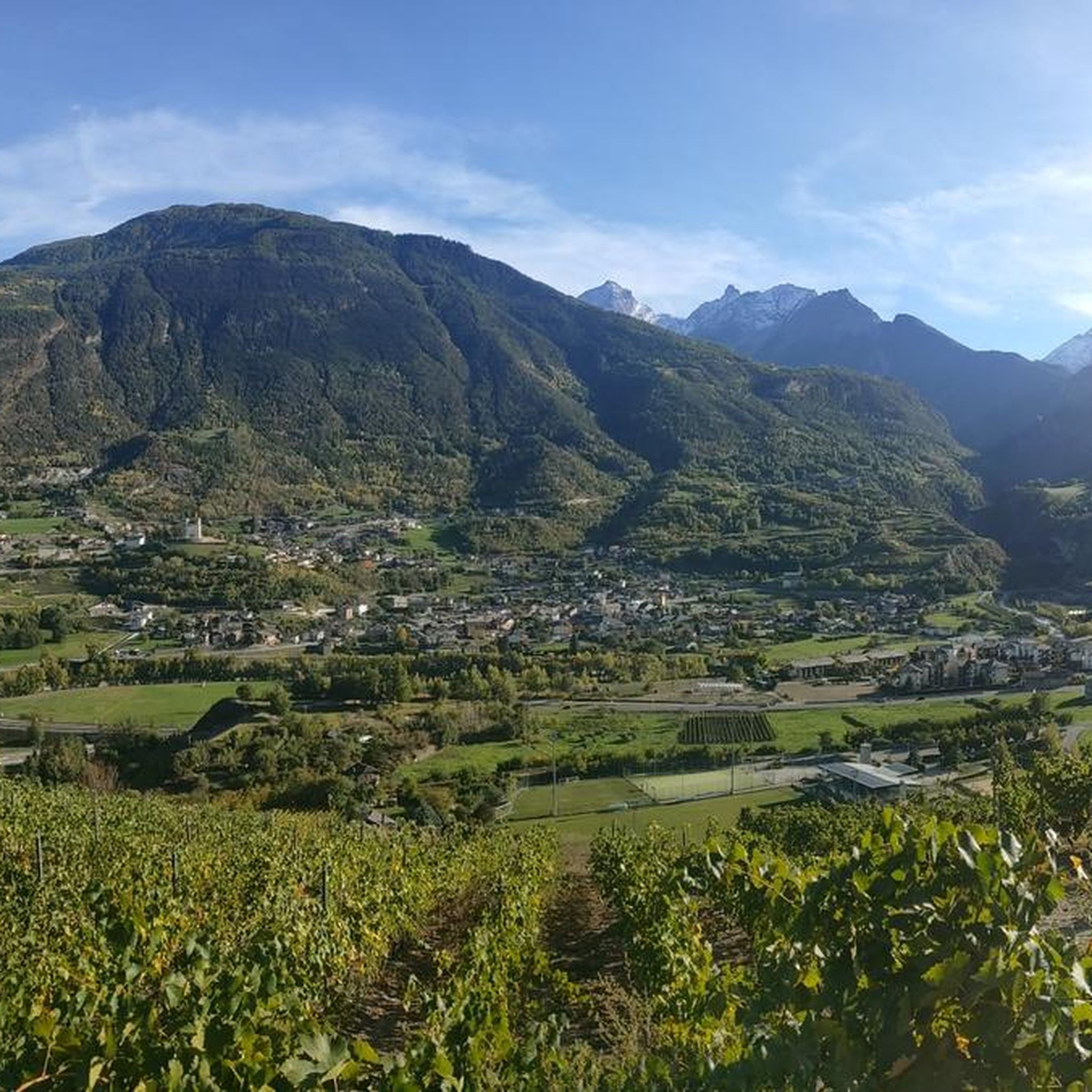
Cycling around Aymavilles

Gravel biking around Aymavilles
Running Trails around Aymavilles

Mountain Hikes around Aymavilles


Tips from the Community

L'Alpe Grandes Arpilles is an alpine pasture located at an altitude of approximately 2090-2137 meters, in the Vétan basin. It is a cluster of huts, now largely reduced to ruins, situated in an open position overlooking the vast pastures that extend at the foot of Punta Leysser and Mont Fallère. It can be reached from Chatelanaz by following the winding dirt road, or more directly by ascending the slope from Thoules after crossing a stream. The pasture marks the intersection point with the cross-country road that continues along the mountainside towards the Mont Fallère Refuge, thus serving as a natural crossroads for hikers, snowshoers, and ski tourers. The tree vegetation thins out here until it disappears, giving way to grassy expanses that in winter transform into vast snowy slopes. The panorama is wide and open: to the south, one can admire the Grivola and the peaks of Gran Paradiso, while on clearer days, Mont Blanc can also be glimpsed.
0
0

Farm road to climb to the Mont Fellere Refuge
0
0

I cannot recommend the path either up or down by bike, pure carrying. It is better to take the 1-hour detour by car to get directly to Rifugio Savoia. From there you can ride up comfortably. Otherwise, if you start from this side, go up via the tunnel instead of this path.
2
0

A fantastic view, weather permitting: Mont Blanc, Grandes Jorasses, Matterhorn, Punta Rosa. The overview board tells you where each peak is located.
0
0

Hiking route to the refuges (Chabod or Vittorio Emanuele) then the route becomes mountaineering, with all that this entails: specific glacier equipment is required, special attention must be paid to weather and terrain conditions (glacier). It is best to be accompanied by a guide.
2
0
4000 completely in Italian territory, beautiful climb and spectacular view!
3
0

Magnificent (and only) traverse from North to South in Gran Paradiso National Park. From the end of Valsavaranche, near the village of Pont Breuil (and beautiful Rifugio Tetras Lyre), a steep mountain path (30-40%) starts from 1900m to 2350m and Croce dell' Arolley. The fastest way is to climb with the bike on your shoulder. After about 3.5 km of climbing, you reach a plateau where you can cycle reasonably well with a gravel bike (and luggage). MTBs with suspension can start earlier. After about 8.5 km you reach the Colle del Nivolet. Then a spectacular descent over more than 50 km.
1
1

The Fallere with its statues is always beautiful
0
0
Frequently Asked Questions
What are some of the most popular mountain peaks around Aymavilles for panoramic views?
For breathtaking panoramic views, consider visiting Punta Replan, which offers a fantastic vista of numerous 4,000-meter peaks like Mont Blanc and Monte Rosa. Another popular spot is Montseuc Summit Cross, providing magnificent views over the Cogne valley and Valnontey. From Croce della Roley, you can enjoy a panoramic view of the Gran Paradiso massif.
Are there easy mountain hikes or viewpoints suitable for beginners around Aymavilles?
Yes, for easier access to stunning views, the path to Punta Replan is relatively accessible, often reachable within an hour from a chairlift arrival. The initial section of the path to Montseuc Summit Cross is also well-marked and easy, leading to a magnificent viewpoint before becoming steeper. Croce di Fana (2,211 m) also offers a panoramic hike through forests and meadows, accessible year-round.
Which mountain peaks around Aymavilles offer challenging climbs for experienced mountaineers?
The most significant challenge for experienced mountaineers is the Gran Paradiso Summit (4,061 m). It's the highest peak entirely within Italy and requires specific glacier equipment and often a guide. Monte Emilius (3,559 m) also presents a rewarding summit experience, with a via ferrata option for those seeking a more technical ascent. Mont Mary (2,815 m) is another destination for experienced hikers, with a steeper final section.
Are there family-friendly mountain trails around Aymavilles?
While specific 'family-friendly' categories aren't always listed, trails with easier initial sections or those leading to viewpoints without extreme elevation gain can be suitable. The path to Montseuc Summit Cross, for instance, has an easy, almost flat stretch initially with information boards about local flora and fauna, which can be engaging for families. Croce di Fana is also noted for being accessible.
What unique natural features or landmarks can I discover on these peaks?
Many peaks offer unique features. At Punta Replan, you'll find ceramic orientation boards that help identify the surrounding 4,000-meter peaks. Montseuc Summit Cross features a metal cross and information boards detailing local flora and fauna along the path. The Gran Paradiso Summit is part of a national park known for its pristine natural environment and diverse wildlife.
What is the best time of year to visit the mountains around Aymavilles?
The best time to visit the mountains around Aymavilles for hiking is generally in summer and early autumn when trails are clear of snow and weather conditions are more stable. However, some paths like Croce di Fana are accessible year-round, including for snowshoeing in winter. For challenging climbs like Gran Paradiso, summer offers the most favorable conditions.
Can I visit the mountain peaks around Aymavilles during winter?
Yes, some areas are suitable for winter activities. Croce di Fana (2,211 m) is known for being accessible year-round, including for snowshoeing. Pont de la Pierre, starting from Ozein in Aymavilles, is also popular for snowshoeing and ski mountaineering in winter. Always check current conditions and ensure you have appropriate gear and experience for winter trekking.
Is it possible to spot wildlife when exploring the mountain peaks near Aymavilles?
Yes, the region, particularly within the Gran Paradiso National Park which encompasses the Gran Paradiso Summit and Croce della Roley, is known for its diverse wildlife. Keep an eye out for local flora and fauna, with information boards along paths like the one to Montseuc Summit Cross providing details on what to look for.
What running trails are available near the mountain peaks of Aymavilles?
There are several running trails in the vicinity. You can explore routes like the 'Gressan Green Area – Bridge over the Dora Baltea loop' or the 'Ozein loop from Aymavilles'. For more options, check out the Running Trails around Aymavilles guide.
Are there mountain biking trails accessible from the Aymavilles area?
Yes, the Aymavilles area offers mountain biking opportunities. Trails include the 'Gravel ascent – Mont Fallère Refuge loop from Saint-Pierre' and the 'Arch of Augustus – Tower of the Lords of Saint Ursus loop from Sarre'. For a comprehensive list, refer to the MTB Trails around Aymavilles guide.
What cycling routes can I find near Aymavilles' mountain peaks?
For road cycling or touring, routes such as the 'Arch of Augustus – Porta Pretoria (Aosta) loop from Sarre' and the 'Torre dei Balivi – Porta Pretoria (Aosta) loop from Saint-Pierre' are available. Discover more options in the Cycling around Aymavilles guide.
Does Monte Emilius have any historical significance?
Yes, Monte Emilius (3,559 m) was historically known by other names like Pic de dix heures. It was later renamed in honor of Émilie Argentier, who famously climbed it at the age of fourteen in 1839, marking a notable achievement in the region's mountaineering history.
Where can I find a viewpoint with orientation boards to identify surrounding peaks?
The Punta Replan viewing point, located at an altitude of 2,458 m, is specifically designed with ceramic orientation boards. These boards help visitors identify the names of the numerous surrounding mountains, including prominent 4,000-meter peaks like Mont Blanc and Monte Rosa, making it an excellent spot for appreciating the landscape.
Most popular routes around Aymavilles
Most popular attractions around Aymavilles

Get inspired with the komoot mobile app


Explore more
See even more amazing summits around Aymavilles with these guides:
