The best cycling routes around Emarèse
4.6
(126)
2,556
riders
89
rides
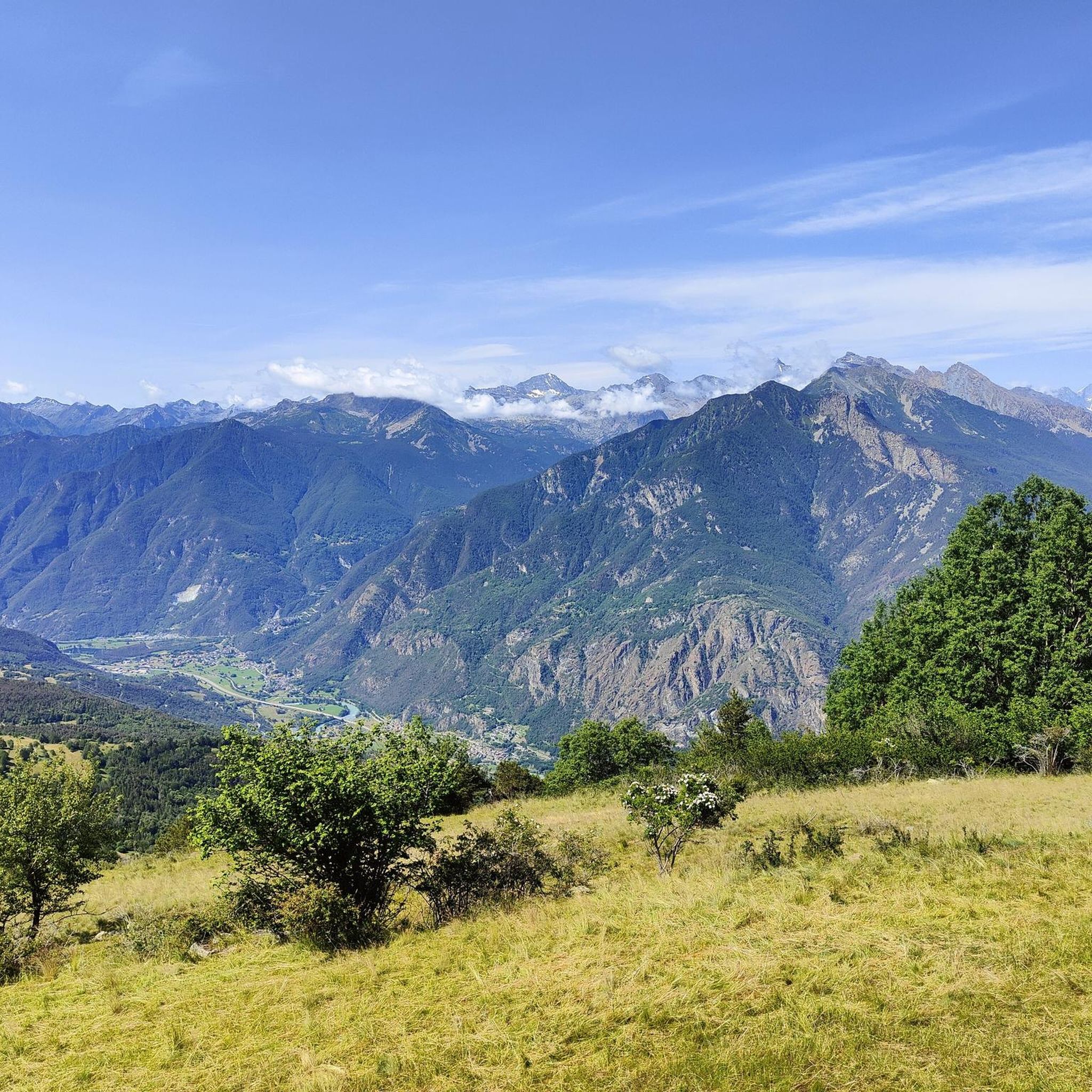
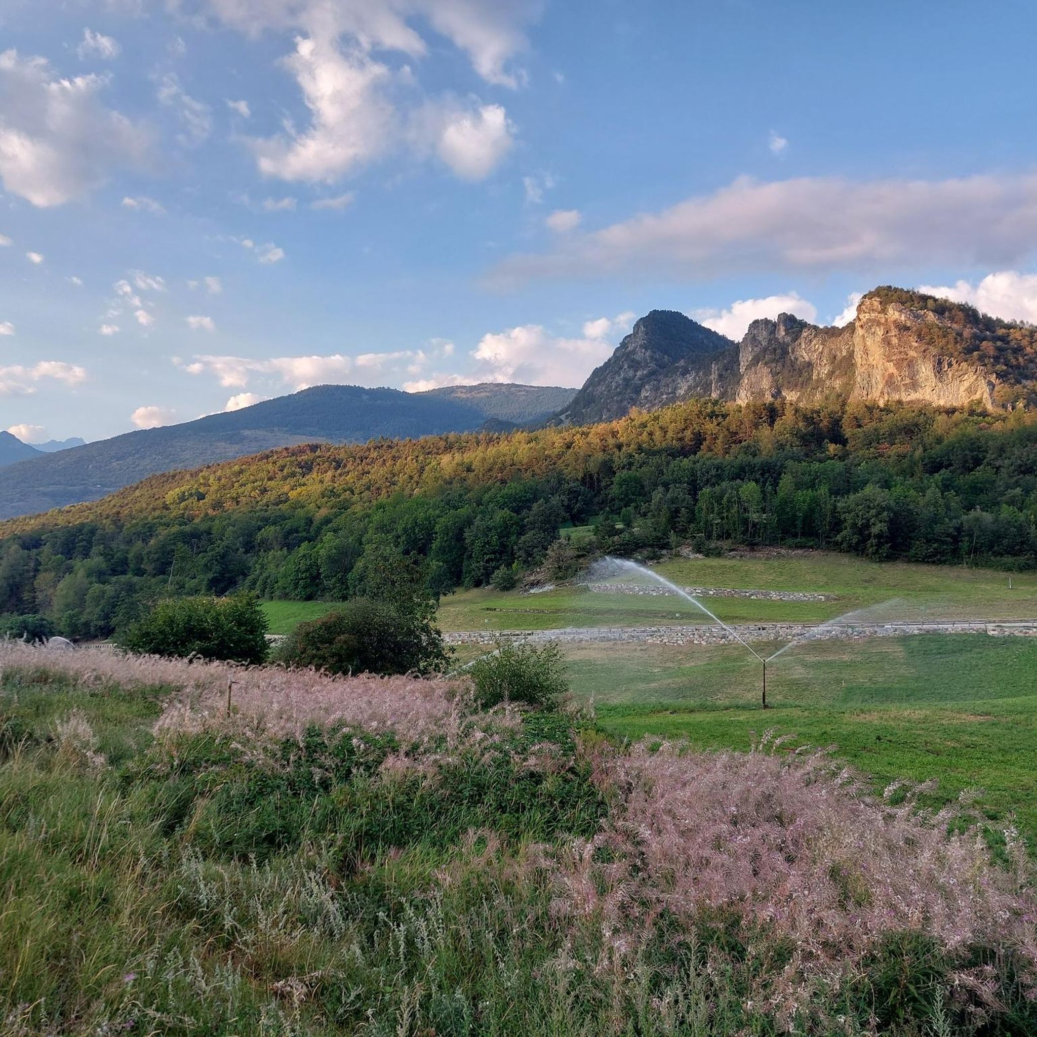
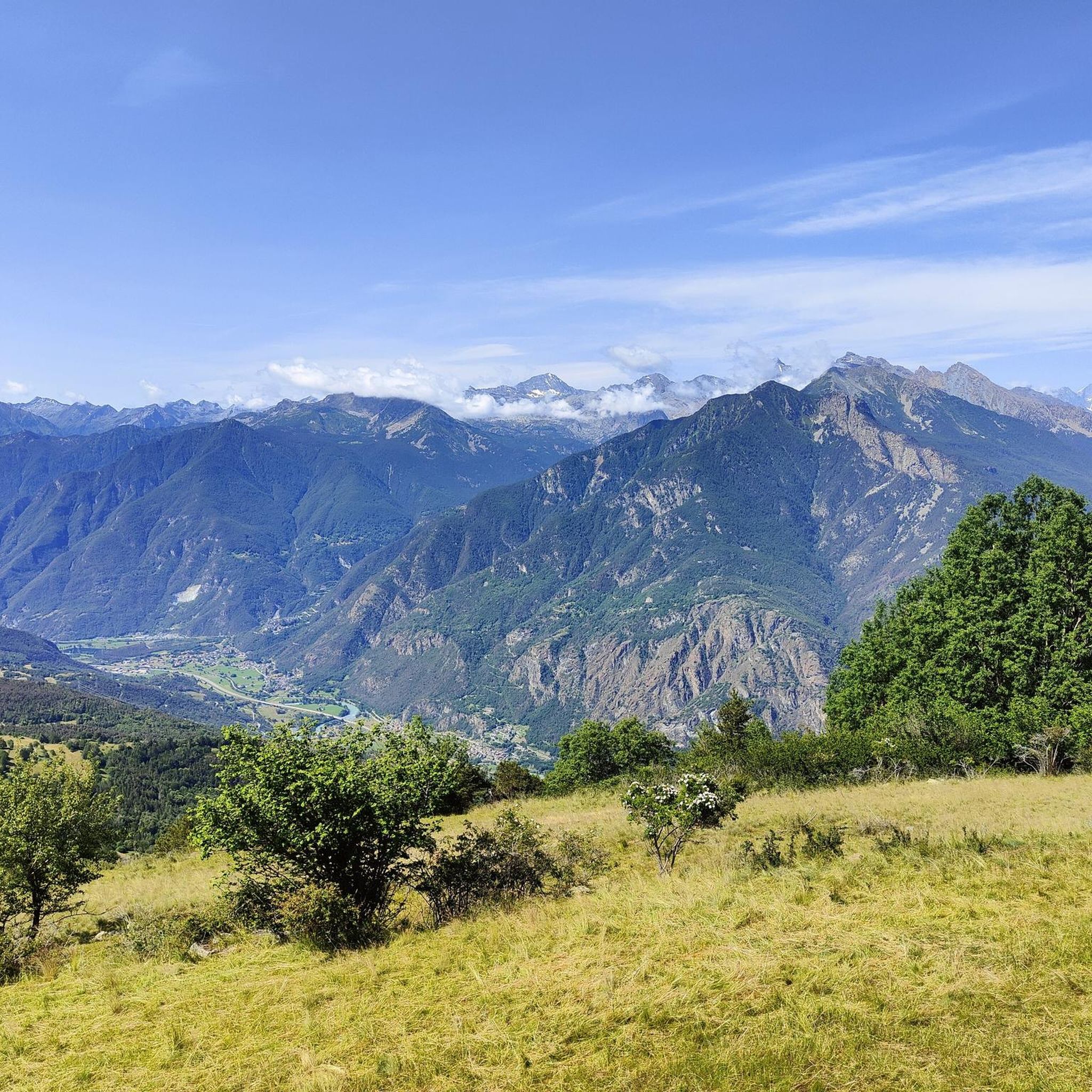
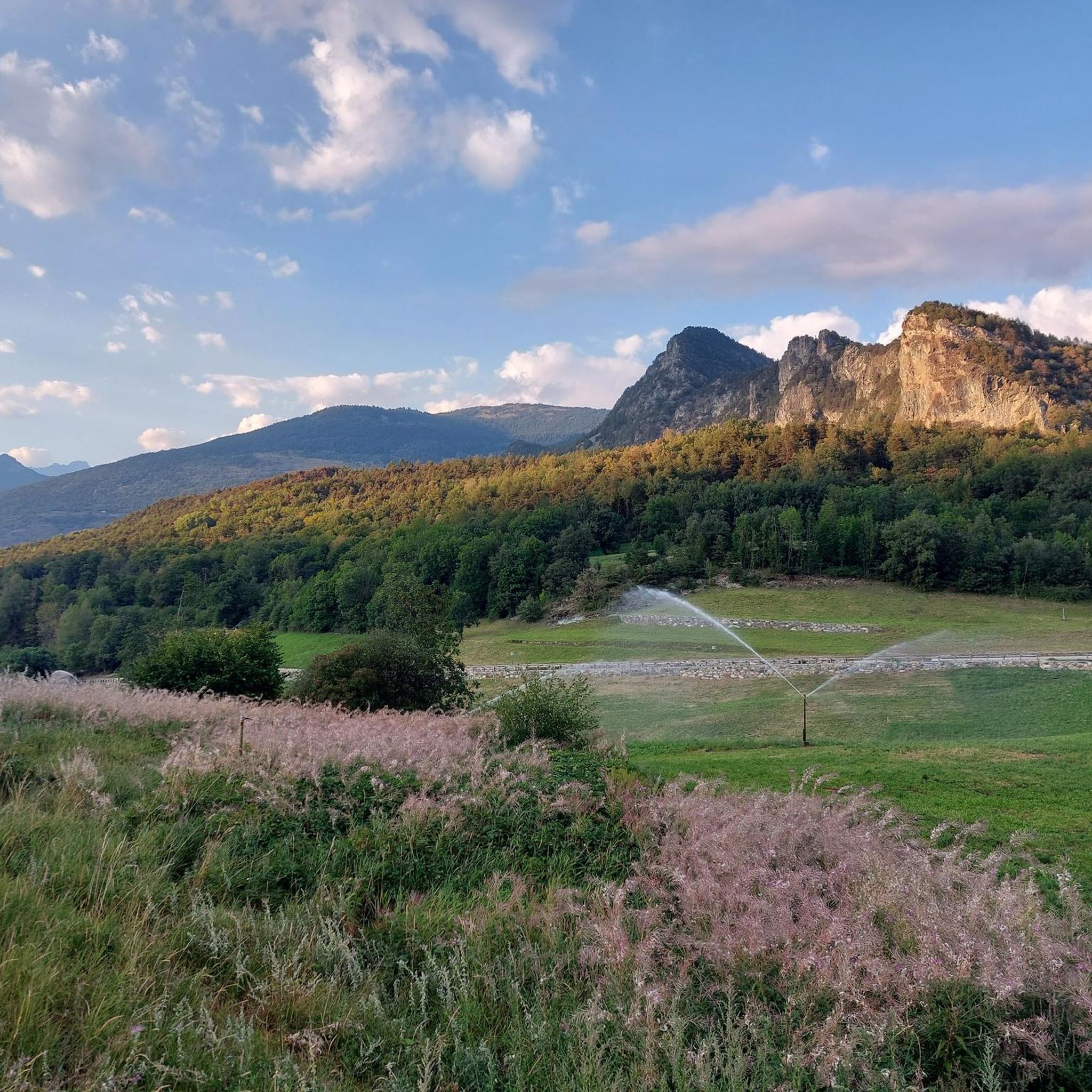
Touring cycling around Emarèse, nestled in the Aosta Valley, offers routes through an elevated landscape with panoramic views of prominent Alpine peaks such as Rosa dei Banchi, Mont Emilius, and Mont Blanc. The region features predominantly agricultural areas, providing a tranquil setting for cycling. Roads leading to locations like Col Tzecore meander through villages, contributing to the scenic experience.
Best touring cycling routes around Emarèse
- The most popular touring cycling route is Fort Bard – Echallod Stone Bridge loop from…
Last updated: October 8, 2026
5.0
(2)
157
riders
50.0km
03:45
1,180m
1,180m
Hard bike ride. Very good fitness required. Mostly paved surfaces. Suitable for all skill levels.
5.0
(1)
52
riders
33.7km
03:03
900m
900m
Hard bike ride. Very good fitness required. You may need to push your bike for some segments of this route.

43
riders
32.6km
02:43
1,100m
1,100m
Hard bike ride. Very good fitness required. Mostly paved surfaces. Suitable for all skill levels.
3.0
(3)
25
riders
Hard bike ride. Very good fitness required. Mostly paved surfaces. Suitable for all skill levels.
5.0
(2)
25
riders
19.5km
01:10
110m
110m
Easy bike ride. Great for any fitness level. Mostly paved surfaces. Suitable for all skill levels.
Get access to more routes and recommendations from other explorers.
Already have an account?
Our route recommendations are based on thousands of hikes, rides, and runs completed by other people on komoot.
Start today with a free account
Your next adventure awaits.


Tips from the Community


The Fontana di Napoleone takes its name from a local legend according to which Napoleon Bonaparte and his troops stopped here to quench their thirst during their passage through the Alps. Even today, its name recalls one of the most famous anecdotes linked to the Col de Joux.
0
0

Located in the heart of the hamlet of Viering, in the municipality of Champdepraz, this small chapel is an emblematic example of the rural religious architecture of the Aosta Valley. Characterized by a white plastered facade that contrasts with the exposed stone side walls, the building features valuable frescoes above the entrance portal, depicting the titular saints. The most distinctive element is its bell gable, which houses a bell with a unique history: it still bears the marks of bullet holes inflicted by Nazi soldiers during World War II, making the church not only a place of worship but also a silent witness to local resistance.
0
0
Perched on a rocky spur at 656 meters above sea level, overlooking the gorge carved by the Dora Baltea River, Saint-Germain Castle is one of the largest and most strategic medieval fortifications in the Aosta Valley. Its main axis is perpendicular to the valley, almost as if to visually emphasize its primary purpose: to block the passage and control the trade routes that ran at its feet. The first construction dates back to the 11th-12th centuries, the work of the De Mongioveto family. The castle then followed the typical feudal trajectory of the Aosta Valley: it passed to the Savoys towards the end of the 13th century, then to the Challants in 1295, and again to the Savoys in 1438, when a military garrison was stationed there that remained active until 1661. In that year, Charles Emmanuel II ordered its dismantling, and the castle began its long decline. Architecturally, the complex displays signs of various eras: the original core is typical of a medieval Aosta Valley castle, with a 19-meter-high central keep surrounded by an imposing wall. This is complemented by Renaissance architecture, visible in the massive bastion spanning the longest side. The walls do not feature arrow slits, but rather actual gunports, a sign of their adaptation to firearms. From the plateau on which the ruins stand, the view of the central valley is extraordinary.
0
0
Just beyond the hamlet of Ruelle, along the path that climbs toward Chenal Castle, lies the Pian dou Lai plateau, home to this field dedicated to the practice of tsan, one of the four traditional sports of the Aosta Valley protected by the Fédérachon Esport de Nohtra Téra. The term tsan means "field" in Aosta Valley patois, and that's no coincidence: the origins of this team game, vaguely reminiscent of baseball, are rooted in the region's agro-pastoral culture, when shepherds played it in the meadows and mountain pastures during long breaks from tending their livestock. Even today, it is played in two seasonal championships, one in the spring and one in the fall, with teams of twelve players competing on a trapezoid-shaped field at least 135 meters long. The batter uses a bat to hit a small boxwood ball—the tsan—balanced on a slanted pole; The defending opponents try to intercept it on the fly with wooden boards, called boquets, and when they succeed, the characteristic crisp snap is heard, marking the batter's out. The Pian dou Lai is a perfect location for this ancient sport: an open, sunny plateau nestled in a landscape of vineyards and chestnut groves typical of the Montjovet hillside, with the ruins of Chenal Castle as a backdrop.
0
0

The hamlet of Le Bourg can be easily reached by bicycle, passing under the highway overpass. The village is worth a visit for its characteristic keeled-arch windows, frescoes, and ancient signs that tell the story of the town. Also not to be missed is the church of San Rocco, perched on a rocky outcrop and offering a panoramic view of the valley.
2
0
The Arlaz Waterfall can be reached either from the Col d'Arlaz or from the Orbeillaz car park, following path number 31 which runs alongside the Rû d’Arlaz, a 14th-century artificial canal that channels the water of the Evançon stream and carries it to the municipalities of Challand, Emarese and Montjovet.
1
0
Brusson is a renowned mountain resort, renowned for its tranquil atmosphere and Alpine landscapes. Its heart is the lake, an easily accessible body of water perfect for relaxing walks, picnics, and outdoor activities. In winter, the town becomes a hub for cross-country skiing.
1
0
Frequently Asked Questions
How many touring cycling routes are available in Emarèse?
Emarèse offers a diverse network of over 70 touring cycling routes. These routes cater to various skill levels, including 8 easy, 14 moderate, and 51 difficult options, ensuring there's a suitable path for every cyclist.
What kind of landscapes and views can I expect while cycling in Emarèse?
While touring cycling in Emarèse, you'll experience breathtaking panoramic views, often described as a 'penthouse' or 'panoramic balcony' of the Aosta Valley. Expect sweeping vistas of prominent Alpine peaks like Rosa dei Banchi, Mont Emilius, and the iconic Mont Blanc. The routes often traverse tranquil, ancient agricultural areas and charming villages, providing a picturesque and authentic ambiance.
Are there any circular touring cycling routes in Emarèse?
Yes, many touring cycling routes in Emarèse are designed as loops, allowing you to start and finish at the same point. For example, the Fort Bard – Echallod Stone Bridge loop from Estaod is a popular difficult route covering 27.0 miles (43.5 km), offering views of historical sites. Another option is the Historic Village of Emarèse – Forest Path loop from Émarèse, which is 18.5 miles (29.8 km) and traverses through the historic village and forested areas.
What is the best time of year to go touring cycling in Emarèse?
The best time for touring cycling in Emarèse is typically during the warmer months, from late spring to early autumn. This period offers more stable weather conditions, clear views of the Alpine panoramas, and accessible trails. The elevated position of Emarèse means cooler temperatures than the valley floor, making it pleasant even in summer.
Are there any natural features or landmarks to see near the cycling routes?
Beyond the stunning mountain views, Emarèse offers unique natural and geological formations. You might consider detours to explore the Lakes around Emarèse, such as the ephemeral Lake of Lot (Ghost Lake), or the intriguing Borna da Ghiasa (Ice Hole), a rocky cavity that constantly emits cold air. The distinctive Bec de l'Uja, a rocky pinnacle resembling an eagle's beak, is another notable natural landmark in the region.
What historical sites or castles can I visit while touring cycling in Emarèse?
The region around Emarèse is rich in history and features several impressive castles. While cycling, you can explore nearby historical attractions such as Verrès Castle or Savoia Castle. The Fort Bard – Echallod Stone Bridge loop from Estaod specifically offers views of historical sites, including Fort Bard itself.
Are there family-friendly touring cycling options in Emarèse?
While many routes in Emarèse are rated difficult due to the mountainous terrain, there are 8 easy and 14 moderate touring cycling routes available. These options are generally more suitable for families or those seeking a less strenuous ride. It's always recommended to check the specific route details on komoot for elevation profiles and distance to ensure it matches your family's ability.
Can I bring my dog on touring cycling routes in Emarèse?
Many outdoor trails in the Aosta Valley are dog-friendly, but it's important to ensure your dog is accustomed to cycling alongside you or can be comfortably carried in a trailer. Always keep your dog under control, especially in agricultural areas or near livestock, and be mindful of local regulations regarding pets on trails. Check individual route descriptions for any specific restrictions.
Are there places to eat or stay near the touring cycling routes in Emarèse?
Emarèse and its surrounding villages offer various options for refreshments and accommodation. You'll find charming local cafes, restaurants, and guesthouses that provide an authentic experience. The quiet, secluded location ensures a relaxing stay away from bustling tourist hubs, allowing you to enjoy local cuisine and hospitality after your ride.
What are the parking options for touring cyclists in Emarèse?
Parking is generally available in the villages and near popular trailheads in Emarèse. Given the region's focus on outdoor activities, you can often find designated parking areas. It's advisable to check specific starting points of routes on komoot for detailed parking information or local signage upon arrival.
Is public transport available to access touring cycling routes in Emarèse?
Public transport options in Emarèse are more limited compared to larger towns, but local bus services connect some villages. For accessing specific touring cycling routes, it's often more convenient to use a personal vehicle or consider e-bikes, as the region is equipped with charging stations to support them. Always check current local bus schedules for the most up-to-date information.
What do other touring cyclists say about their experience in Emarèse?
The touring cycling experience in Emarèse is highly rated by the komoot community, with an average score of 4.6 stars from over 130 reviews. Over 2,400 touring cyclists have explored the area, often praising the stunning Alpine panoramas, the tranquil agricultural landscapes, and the variety of routes available for different skill levels.
Most popular routes around Emarèse
Most popular attractions around Emarèse

Get inspired with the komoot mobile app


Explore more
Browse the best Cycling routes in other regions.
