The best mountain hikes around Allein
4.8
(8)
102
hikers
5
hikes
Mountaineering routes around Allein are defined by dramatic mountainous terrain, featuring significant peaks and extensive glaciers. The region presents varied and challenging environments for mountaineers, with numerous rocky formations and high-altitude trails. Strategically located mountain huts serve as essential bases for exploring the alpine landscape.
Best mountaineering routes around Allein
- The most popular mountaineering route is Fenêtre Lakes – Hospice du Grand-Saint-Bernard loop from Great St Bernard Pass, a 7.7 miles (12.4 km) trail that takes about 6 hours…
Last updated: July 4, 2026
5.0
(4)
23
hikers
Hard mountaineering route. Good fitness required. Sure-footedness, sturdy shoes and alpine experience required.
11
hikers
11.5km
07:16
1,240m
1,230m
Hard mountaineering route. Very good fitness required. Sure-footedness, sturdy shoes and alpine experience required.

Sign up for free
6
hikers
Hard mountaineering route. Good fitness required. Sure-footedness, sturdy shoes and alpine experience required.
5.0
(1)
3
hikers
11.6km
05:22
770m
770m
Hard mountaineering route. Very good fitness required. Sure-footedness, sturdy shoes and alpine experience required.
3
hikers
6.98km
04:18
720m
720m
Hard mountaineering route. Good fitness required. Sure-footedness, sturdy shoes and alpine experience required.
Our route recommendations are based on thousands of hikes, rides, and runs completed by other people on komoot.
Start today with a free account
Your next adventure awaits.
Login or Signup
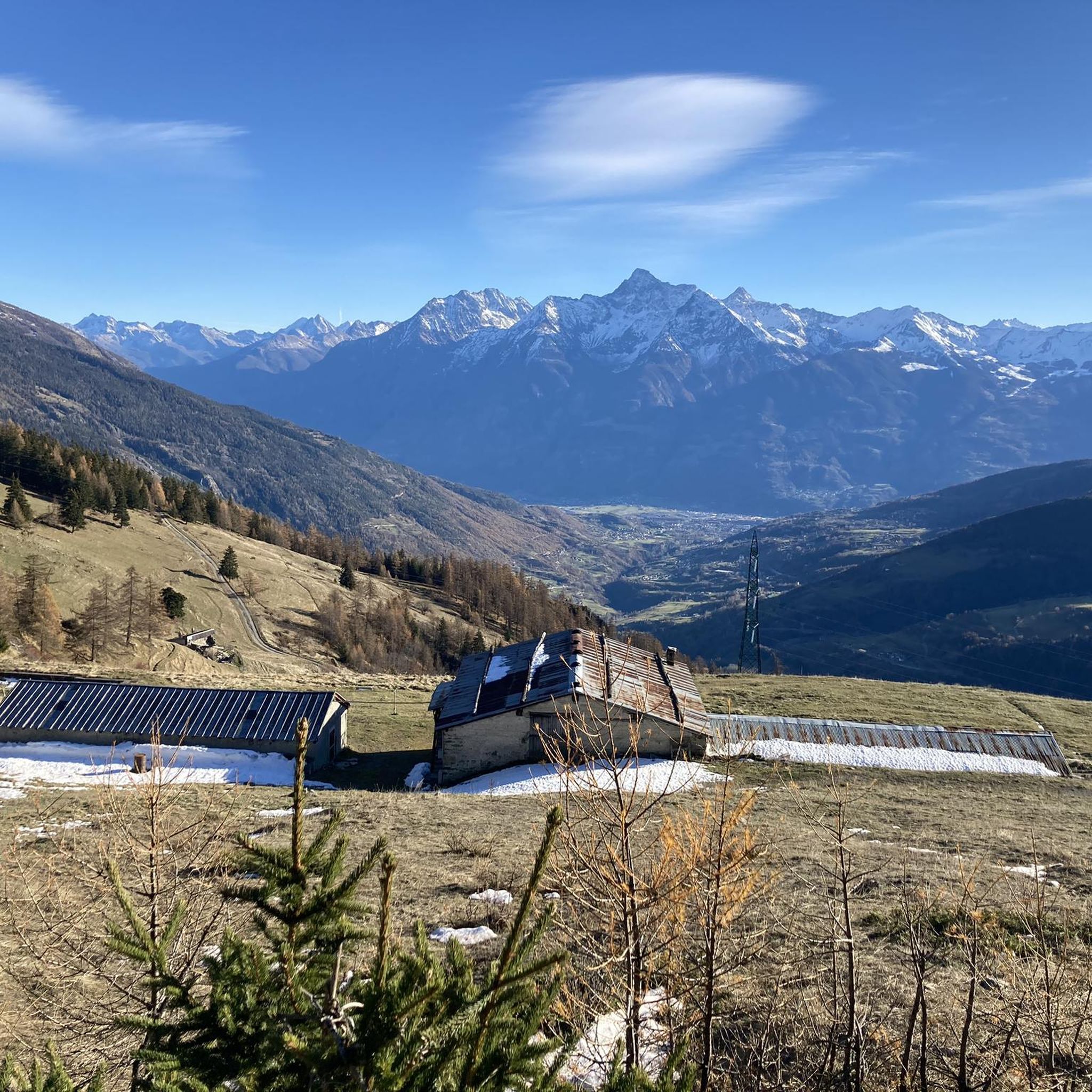
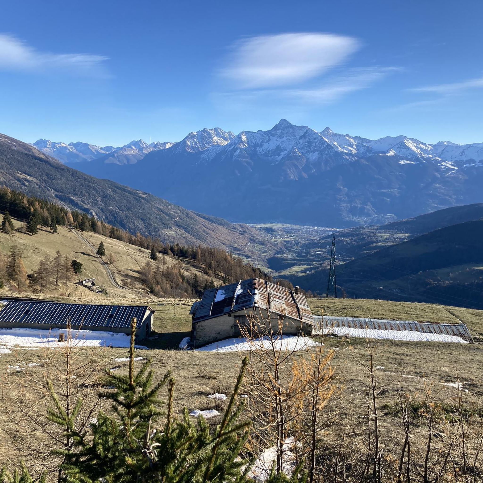
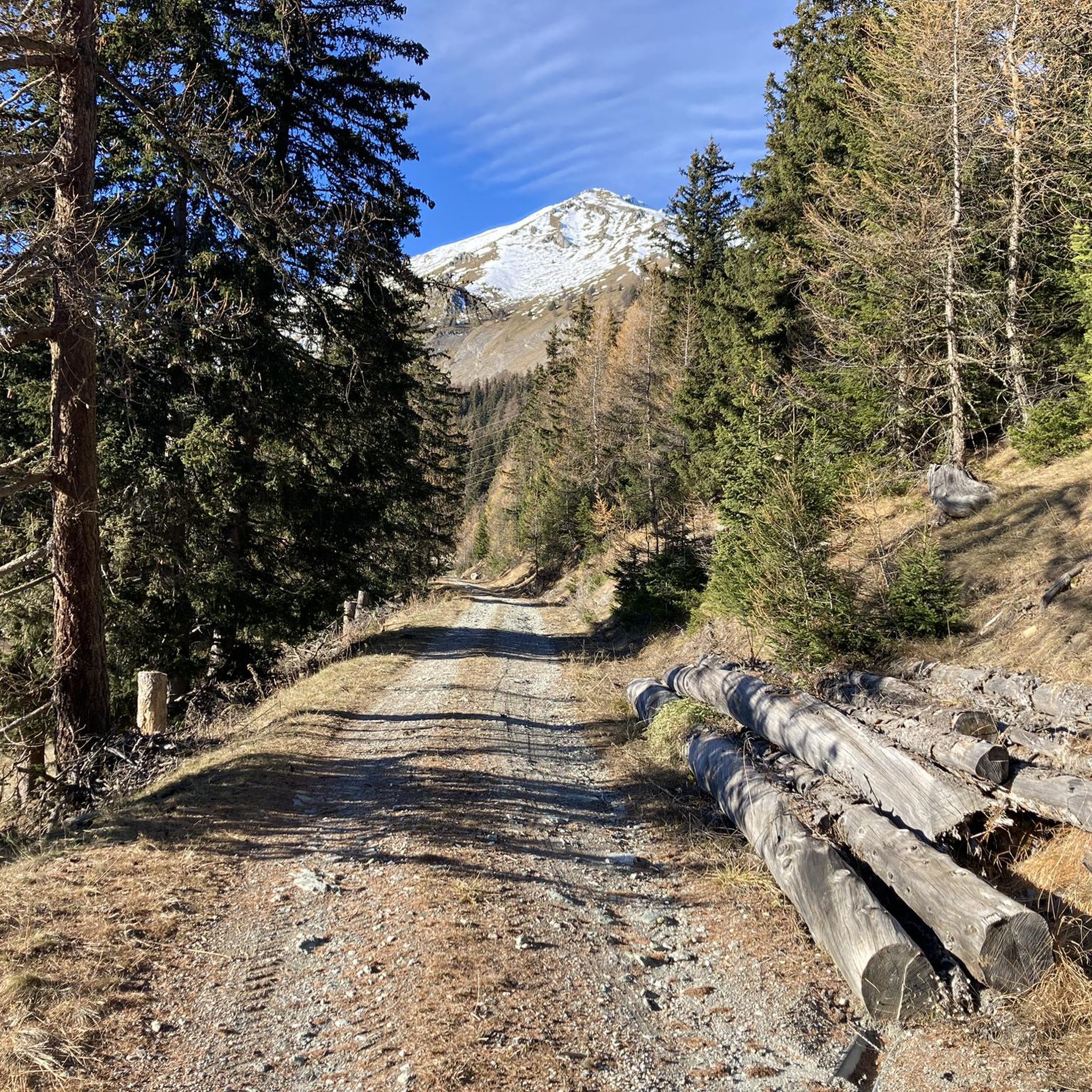

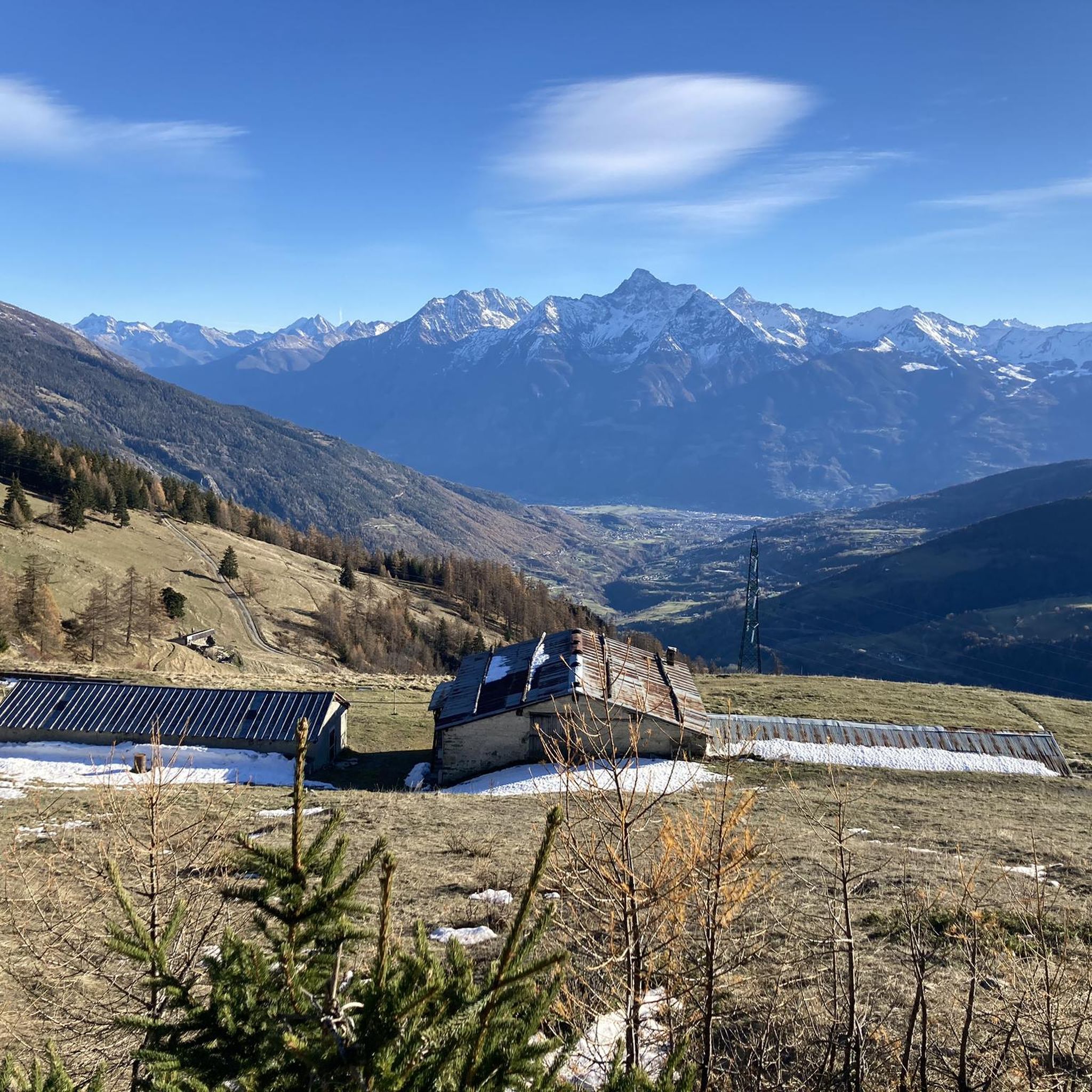
Tips from the Community

Stunning landscape, very gusty winds
0
0

Very beautiful village to spend your hikes in. Drinking water fountain present
0
0

Climbing with bike up to Blavy is such a nice experience on its own: stunning views on the Alps!
0
0

BY, spectacular and wide valley
0
0

The highest road pass in the Aosta Valley and a place that has always fascinated the writer for its thousand-year history, the austere Mauritian hospice and the profound beauty of the landscape.
0
0

Very panoramic hill, reachable only with bike on your shoulder
0
0

From the Italian side, you mostly have to carry the bike or use rails. Short sections are rideable. The descent into Val Ferret is mostly good, somewhere between S1 and S2. In some places, I had to carry/push the bike because it was too heavy. It took me about 25-30 minutes from the pass to Plan de la Chaux.
1
0

Hotel Italia is highly recommended
0
0
Frequently Asked Questions
How many mountaineering routes are available around Allein?
There are 7 mountaineering routes around Allein, primarily catering to experienced mountaineers due to their challenging nature.
What is the typical difficulty level for mountaineering routes near Allein?
The mountaineering routes around Allein are predominantly difficult, with 6 out of 7 routes rated as such. These routes feature significant elevation gains, rocky formations, and high-altitude terrain, making them suitable for experienced mountaineers.
Are there any circular mountaineering routes in the Allein area?
Yes, several routes around Allein are circular. For example, the challenging Fenêtre Lakes – Hospice du Grand-Saint-Bernard loop from Great St Bernard Pass is a 12.4 km circular trail. Another option is the Becca di Viou – Col de Viou loop from Blavy, which is 12.2 km long and also circular.
What kind of terrain can I expect on mountaineering routes around Allein?
Mountaineering routes around Allein are characterized by dramatic mountainous terrain, including significant peaks, extensive glaciers, and numerous rocky formations. You can expect challenging environments with high-altitude trails.
Are there any notable landmarks or points of interest along the mountaineering routes?
Yes, the region offers several significant landmarks. You might encounter the Great St Bernard Hospice, a historic mountain pass, or traverse areas near Col de Champillon and Col de Metz. Mountain huts like Bivacco Regondi (2,590 m) also serve as essential bases.
What do other mountaineers say about the routes around Allein?
The mountaineering routes around Allein are highly rated by the komoot community, with an average score of 4.5 stars from over 17 reviews. Mountaineers often praise the challenging nature of the trails and the stunning alpine scenery.
Are there any moderate mountaineering options near Allein?
While most routes are difficult, there is one moderate mountaineering route available around Allein. This offers a slightly less strenuous option compared to the predominantly challenging trails in the area.
What is a good challenging route for experienced mountaineers?
For experienced mountaineers seeking a significant challenge, the Becca di Viou – Col de Viou loop from Blavy is an excellent choice. This difficult 12.2 km trail involves substantial elevation gain and typically takes around 7 hours 45 minutes to complete.
Are there any shorter, yet still challenging, mountaineering routes?
Yes, for a shorter but still demanding experience, consider the Pointe de Drone Summit – Hospice du Grand-Saint-Bernard loop from Great St Bernard Pass. This difficult route is 5.8 km long and can be completed in about 3 hours, offering access to high alpine scenery.
What is the best time of year for mountaineering in this region?
Given the high-altitude and glacial nature of the terrain, the best time for mountaineering around Allein is typically during the summer months (late June to early September) when snowmelt allows for safer passage and mountain huts are open. Always check local weather and trail conditions before heading out.
Are there specific starting points or trailheads for these routes?
Routes often start from well-known locations such as Great St Bernard Pass or Blavy. For example, the Rifugio Champillon – Col de Champillon loop begins from Ollomont. Detailed starting points are provided on each individual route page.
Most popular attractions around Allein

Get inspired with the komoot mobile app


Explore more
Browse the best Mountain Hikes & Routes in other regions.
