The best mountain hikes around Tramin An Der Weinstraße - Termeno Sulla Strada Del Vino
4.8
(34)
269
hikers
22
hikes
Mountaineering around Tramin An Der Weinstraße - Termeno Sulla Strada Del Vino offers a compelling blend of Mediterranean and alpine landscapes in Italy's South Tyrol. The region is characterized by the prominent Monte Roen and the broader Mendel Mountain Range, providing diverse and challenging terrain. Vineyards and hills surround the Adige Valley, contrasting with the higher alpine areas. This environment features significant elevation changes and natural features suitable for varied mountaineering experiences.
Best mountaineering routes around Tramin An Der Weinstraße…
Last updated: October 9, 2026
4.6
(11)
68
hikers
18.8km
07:26
860m
860m
Hard mountaineering route. Very good fitness required. Sure-footedness, sturdy shoes and alpine experience required.
5.0
(3)
19
hikers
15.9km
07:14
1,150m
1,150m
Hard mountaineering route. Very good fitness required. Sure-footedness, sturdy shoes and alpine experience required.

5.0
(2)
14
hikers
5.25km
03:01
370m
370m
Hard mountaineering route. Good fitness required. Sure-footedness, sturdy shoes and alpine experience required.
5.0
(2)
13
hikers
8.75km
04:15
440m
440m
Hard mountaineering route. Good fitness required. Sure-footedness, sturdy shoes and alpine experience required.
5.0
(1)
8
hikers
Hard mountaineering route. Very good fitness required. Sure-footedness, sturdy shoes and alpine experience required.
Get access to more routes and recommendations from other explorers.
Already have an account?
Our route recommendations are based on thousands of hikes, rides, and runs completed by other people on komoot.
Start today with a free account
Your next adventure awaits.
Popular around Tramin An Der Weinstraße - Termeno Sulla Strada Del Vino
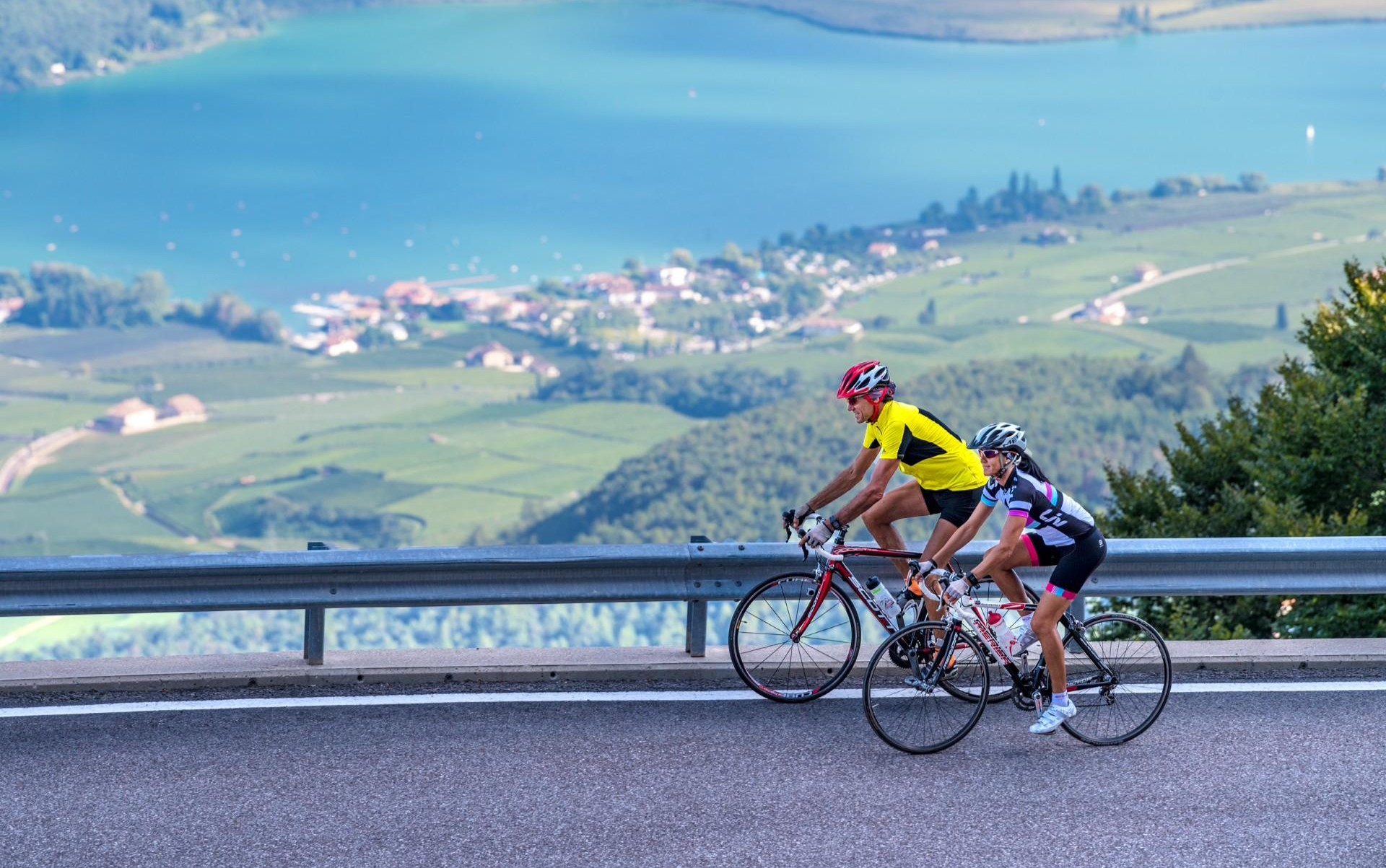
Build up your fitness in the South Tyrolean spring

The most beautiful spring cycle rides on the South Tyrolean Wine Road
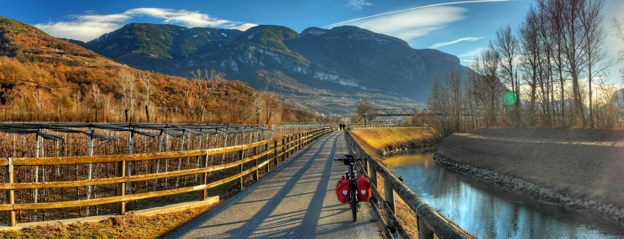
Green Road of Water – nature and cycling between Egna, Trento and Torbole
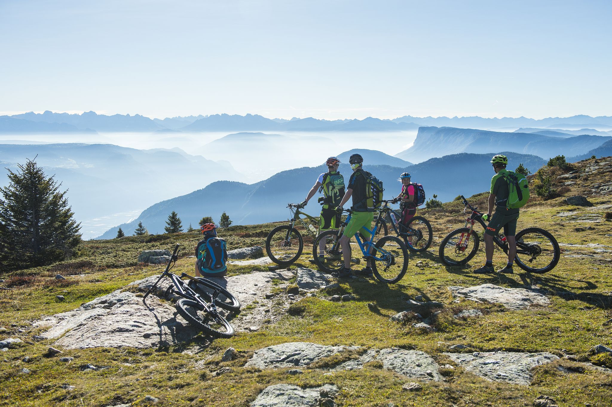
On the trails, get set, go! South Tyrol's BikeHotels are waiting for you

Graveln abseits der bekannten Routen – Südtirol entdecken

Hiking around Tramin An Der Weinstraße - Termeno Sulla Strada Del Vino
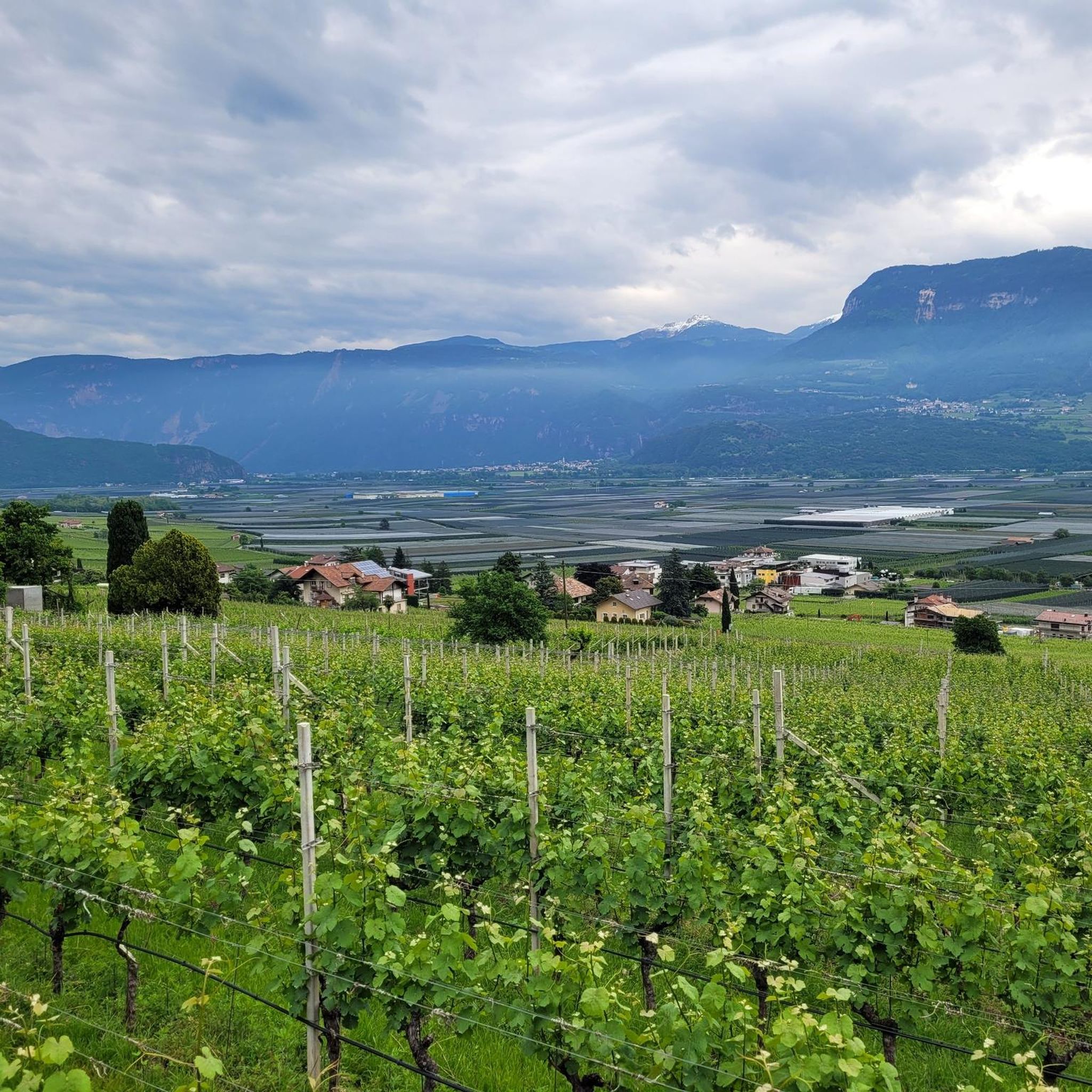
Cycling around Tramin An Der Weinstraße - Termeno Sulla Strada Del Vino
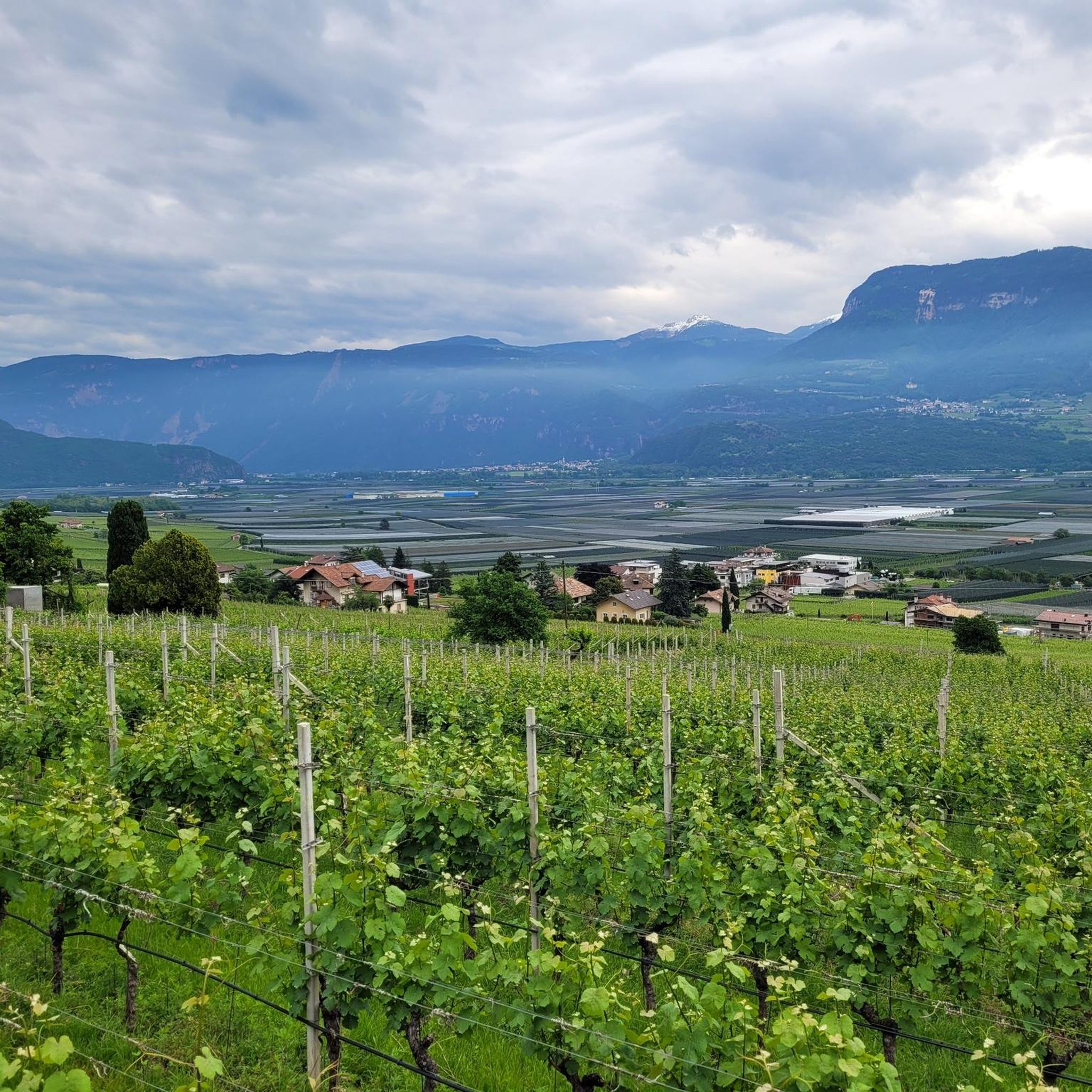
MTB Trails around Tramin An Der Weinstraße - Termeno Sulla Strada Del Vino
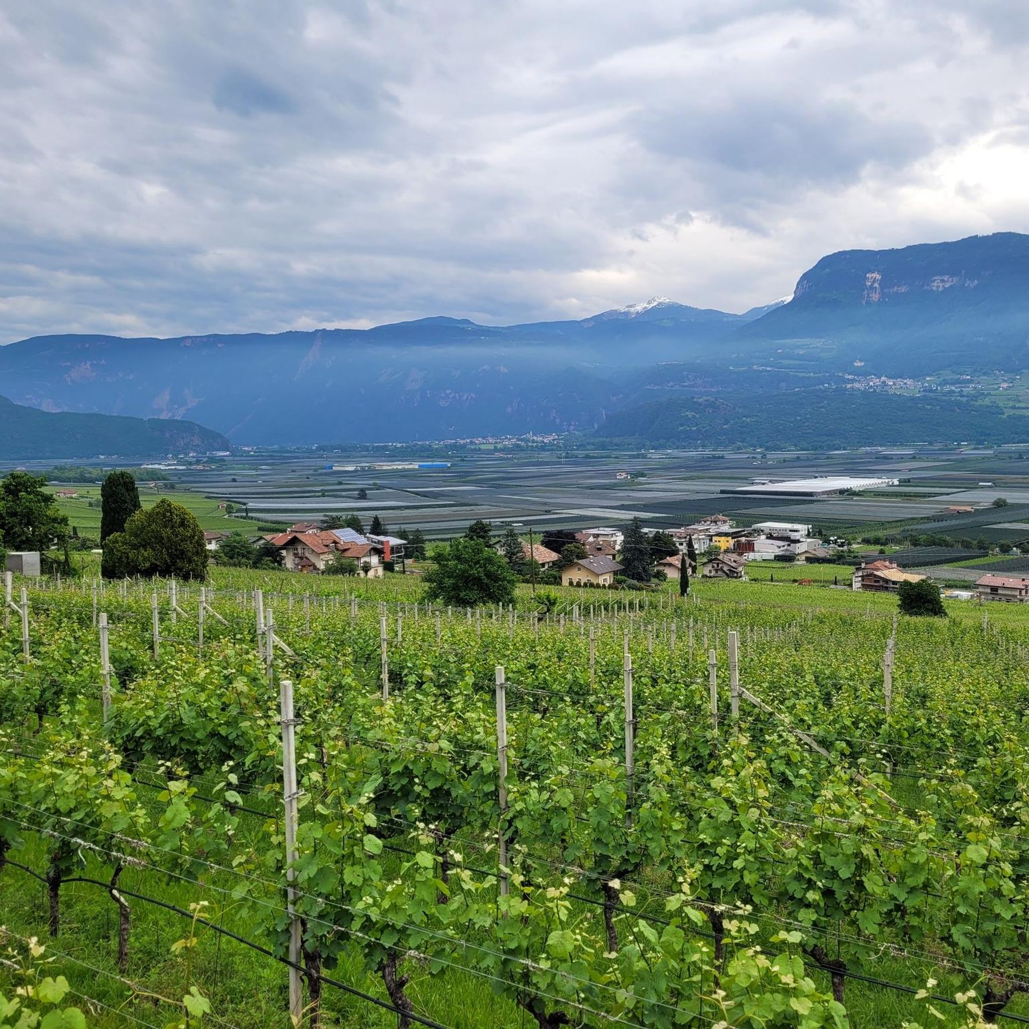
Road Cycling Routes around Tramin An Der Weinstraße - Termeno Sulla Strada Del Vino
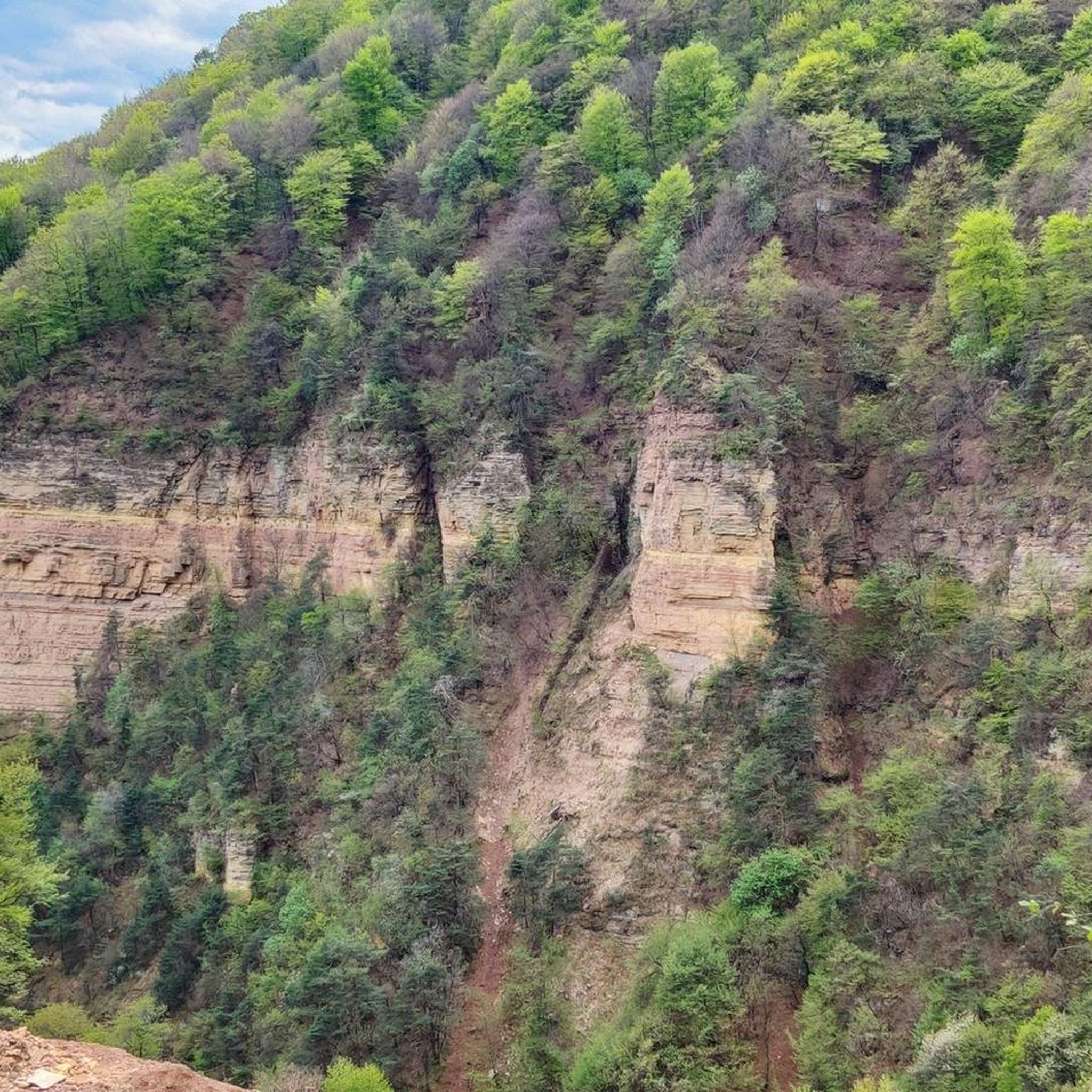
Running Trails around Tramin An Der Weinstraße - Termeno Sulla Strada Del Vino
Other adventures around Tramin An Der Weinstraße - Termeno Sulla Strada Del Vino


Tips from the Community

Trail with uneven ground, in places with a steep incline, to be ridden on an e-mtb with great care
0
0
The section of the Sentiero Italia in the area
0
0
The starting station for the pass
0
0
Starting station Sant'Antonio
0
0
The most rugged part of the ascent to Mount Roen
0
0

A beautiful viewpoint with a great view that invites you to linger.
1
0

The Mendelbahn also transports bicycles
2
0
Good starting point for numerous hikes and mountain bike tours
2
0
Frequently Asked Questions
How many mountaineering routes can I explore in Tramin An Der Weinstraße - Termeno Sulla Strada Del Vino?
There are over 20 mountaineering routes available in the Tramin An Der Weinstraße - Termeno Sulla Strada Del Vino region, offering a diverse range of experiences for outdoor enthusiasts.
What is the general difficulty level of mountaineering routes in this region?
The mountaineering routes in Tramin An Der Weinstraße - Termeno Sulla Strada Del Vino are primarily categorized as moderate to difficult. There are 12 moderate and 12 difficult routes, with options like the challenging Via Ferrata Monte Roen – Monte Roen Summit loop from Passo della Mendola - Mendelpass for experienced mountaineers.
Are there any circular mountaineering routes available?
Yes, many routes in the region are circular. For instance, the Lavinaspitze Above Caldaro – Via Ferrata Monte Roen loop from Passo della Mendola - Mendelpass is a difficult 19.1 km circular path offering extensive alpine terrain and panoramic views.
What are some notable natural attractions or landmarks I might encounter on these routes?
The region is rich in natural beauty. You might encounter stunning waterfalls like the Rastenbach Gorge Waterfall or the Schwarzenbach Waterfalls (Rio Nero Falls). The routes also offer views of Lake Kaltern and the surrounding vineyards.
What do other mountaineers say about the routes in Tramin An Der Weinstraße - Termeno Sulla Strada Del Vino?
The routes are highly regarded by the komoot community, with an average rating of 4.75 stars from over 60 reviews. Mountaineers often praise the diverse alpine landscapes, the challenging via ferrata sections, and the rewarding panoramic views from summits like Monte Roen.
Is the Monte Roen via ferrata suitable for beginners?
The Monte Roen via ferrata is considered challenging and typically takes six to nine hours to complete. It is best suited for experienced mountaineers due to its strenuous nature. Routes like the Via Ferrata Monte Roen – Monte Roen Summit loop from Roen are rated as difficult.
Are there any family-friendly mountaineering options in the area?
While many mountaineering routes in this guide are rated moderate to difficult, the broader Tramin region offers a variety of hiking trails, including more comfortable and flatter paths suitable for families, such as those leading to Söll and Kurtatsch. For specific mountaineering, routes should be carefully assessed for suitability with children.
Can I bring my dog on the mountaineering trails?
Many trails in South Tyrol are dog-friendly, but specific rules can vary by route or protected area. It's always advisable to keep dogs on a leash, especially in alpine terrain, near livestock, or in nature reserves. Check local signage for any restrictions on individual trails.
What is the best time of year for mountaineering in Tramin An Der Weinstraße - Termeno Sulla Strada Del Vino?
The best time for mountaineering is generally from late spring to early autumn (May to October), when the weather is more stable and trails are free of snow. The region's blend of Mediterranean and alpine climates offers pleasant conditions during these months, though higher elevations like Monte Roen can still have snow earlier or later in the season.
Are there options for public transport to access the mountaineering routes?
Access to some routes, such as those starting from Passo della Mendola - Mendelpass, may be possible via public transport, though options can be limited for more remote trailheads. It's recommended to check local bus schedules for connections to key starting points like Passo della Mendola or St.Anton - Sant'Antonio frazione di Caldaro.
Where can I find parking for the mountaineering trails?
Parking is typically available at common starting points for mountaineering routes, such as Passo della Mendola - Mendelpass or near St.Anton - Sant'Antonio frazione di Caldaro. Always look for designated parking areas and be mindful of any local regulations or fees.
Are there any permits required for mountaineering in this region?
Generally, permits are not required for standard mountaineering routes in the Tramin An Der Weinstraße - Termeno Sulla Strada Del Vino region. However, if you plan to access specific protected areas or private lands, it's always wise to check with local tourist information centers for any specific regulations.
Most popular routes around Tramin An Der Weinstraße - Termeno Sulla Strada Del Vino
Most popular attractions around Tramin An Der Weinstraße - Termeno Sulla Strada Del Vino

Get inspired with the komoot mobile app


Explore more
Browse the best Mountain Hikes & Routes in other regions.
