The best MTB trails around Steinerkirchen an der Traun
4.4
(830)
3,561
riders
17
rides
Mountain biking around Steinerkirchen an der Traun offers varied terrain characterized by rolling hills, lush meadows, and the scenic Traun River. The region provides a mix of gentle ascents and rewarding descents, making it suitable for diverse mountain biking experiences. These geographical features create a compelling backdrop for exploring the Upper Austrian landscape on two wheels.
Best mountain bike trails around Steinerkirchen an der Traun
- The most popular mountain bike trail is Traun Weir (Gunskirchen) – Traun Bridge, Wels loop…
Last updated: October 4, 2026
4.7
(23)
133
riders
Moderate mountain bike ride. Good fitness required. Suitable for all skill levels.
4.8
(36)
32
riders
61.0km
04:32
960m
960m
Hard mountain bike ride. Very good fitness required. Suitable for all skill levels.

5.0
(3)
15
riders
Easy mountain bike ride. Great for any fitness level. Suitable for all skill levels.
5.0
(12)
13
riders
Moderate mountain bike ride. Good fitness required. Suitable for all skill levels.
11
riders
Moderate mountain bike ride. Good fitness required. Suitable for all skill levels.
Get access to more routes and recommendations from other explorers.
Already have an account?
Our route recommendations are based on thousands of hikes, rides, and runs completed by other people on komoot.
Start today with a free account
Your next adventure awaits.
Popular around Steinerkirchen an der Traun
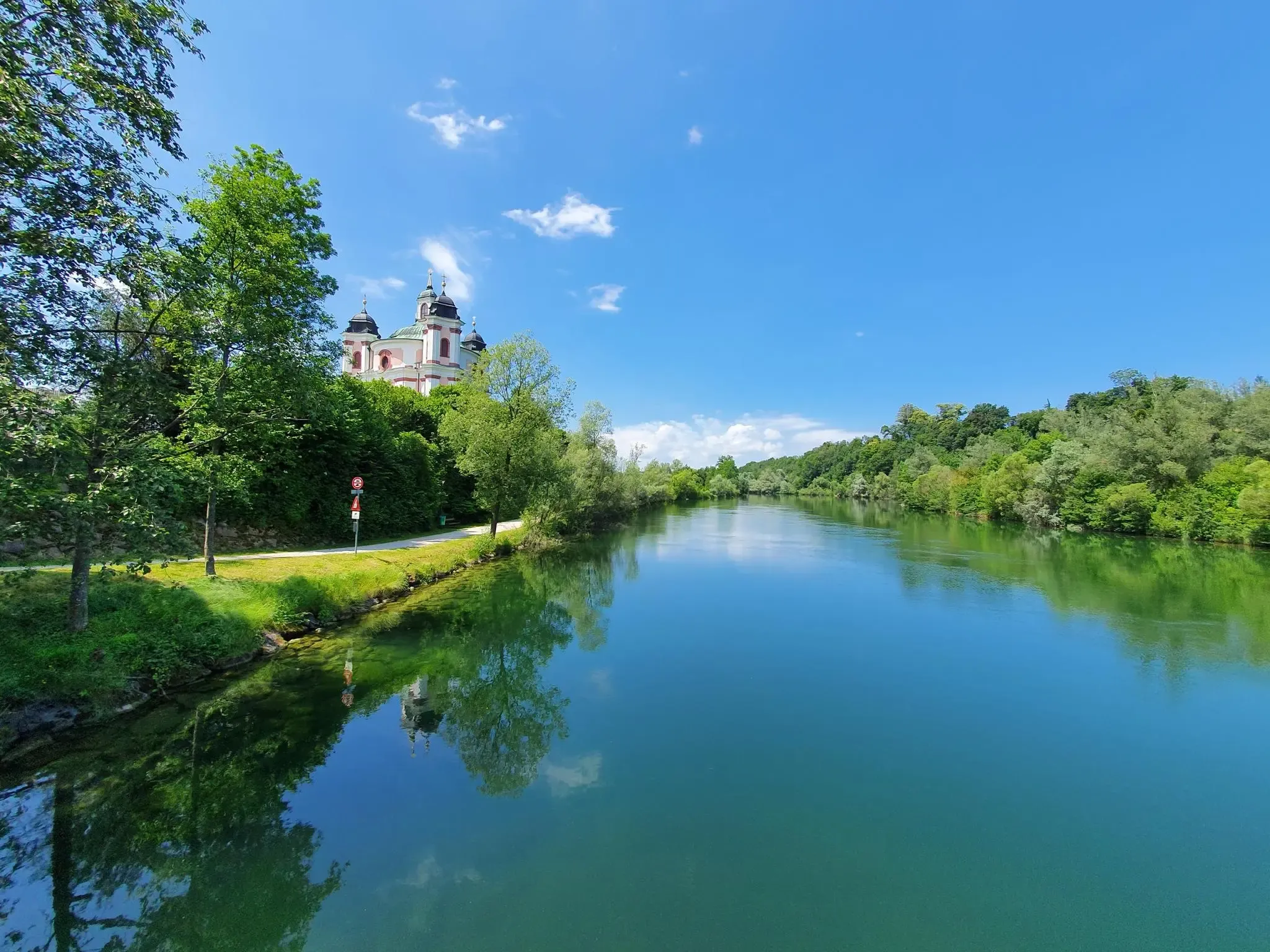
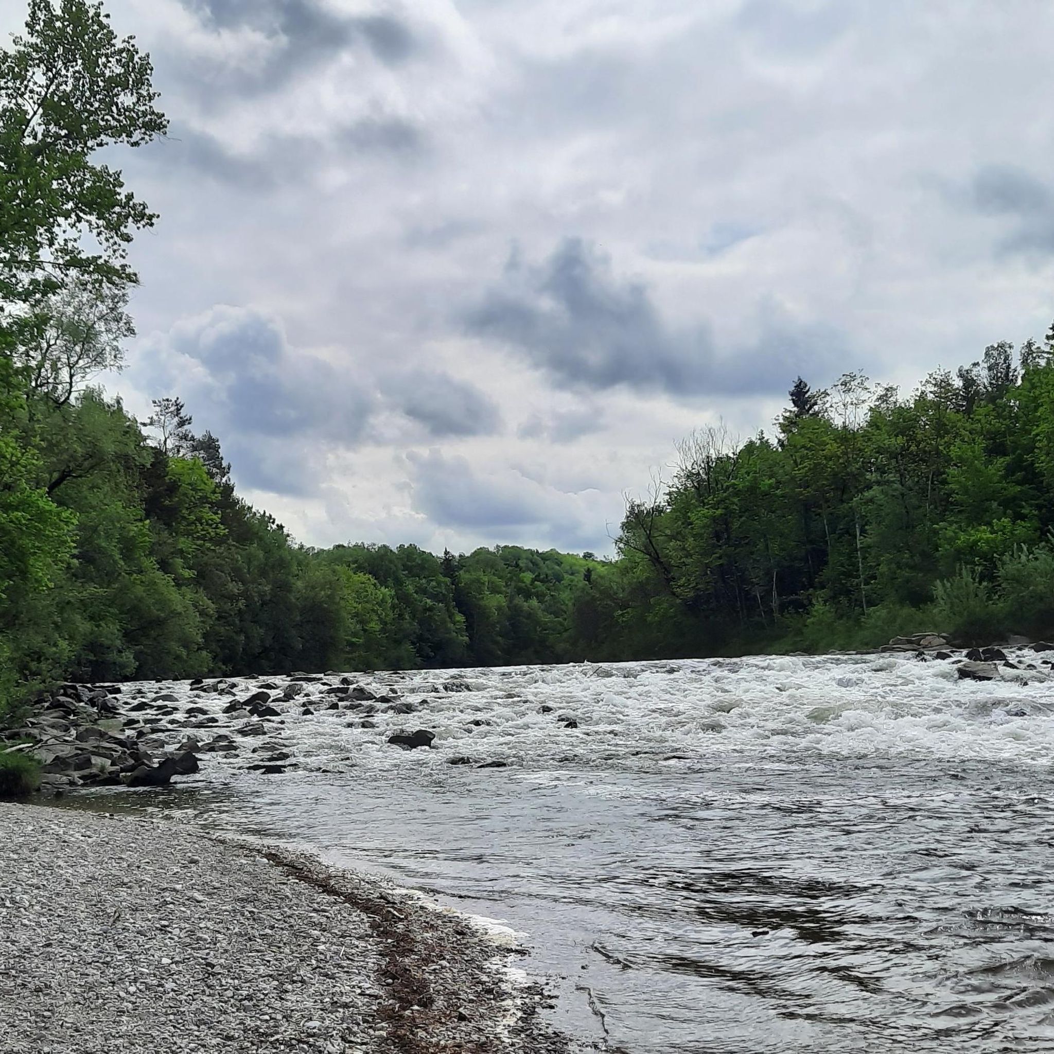
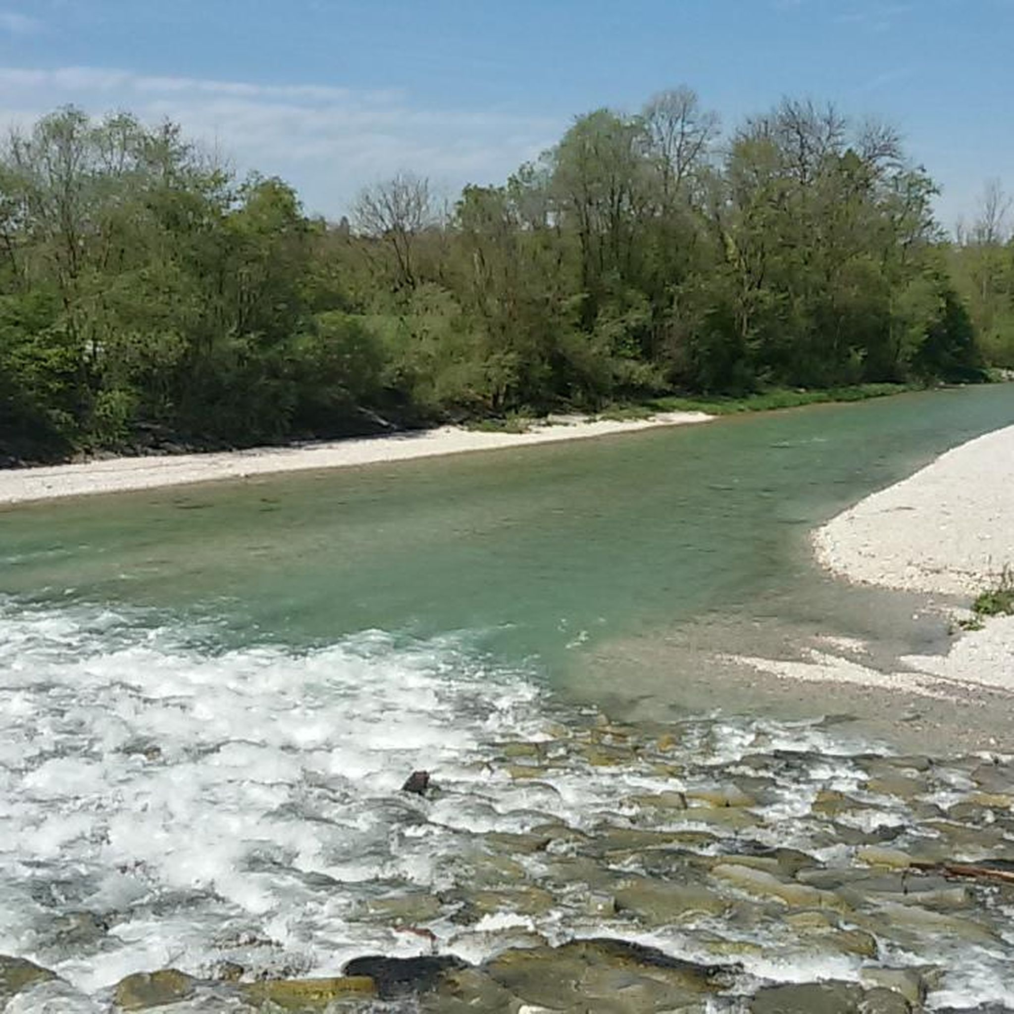
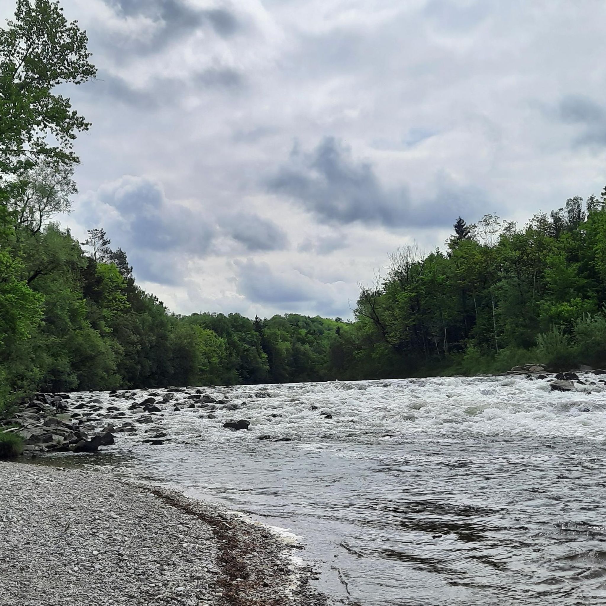
Other adventures around Steinerkirchen an der Traun

Tips from the Community

The towpath directly on the bank is accompanied by a parallel, mostly even wider path, which is quieter to ride. Further into the forest there are a variety of singletrack trails - here you always have to expect fallen branches/trees.
0
0
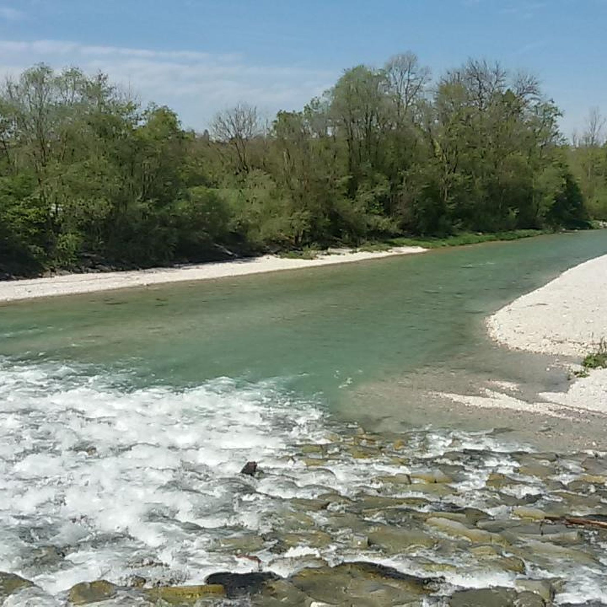
Regardless of the water level, the different coloring of the two rivers is clearly visible here - the Alm, as a significantly shorter mountain river, is usually significantly clearer and thus brighter than the Traun, which has already flowed through 2 large lakes
0
0
Regardless of the water level, the different coloration of the two rivers is clearly visible here - the Alm, as a significantly shorter mountain river, is usually much clearer and thus brighter than the Traun, which has already flowed through 2 large lakes
0
0

Along the path, wooden sculptures about the legend of the giant's and the nixie's love. The Siebenbrünnlein also tells a legend about the witch Kranawitha.
0
0
Currently, the upper section between the Schrattenbach turn-off and Laudachsee is rather "rough" - mostly firm ground, but with many coarser stones already out - concentration is required, especially on the descent.
0
0


The sculpture near the Laudachsee on the Traunstein depicts the legendary giant Erla and the nixie (mermaid) Blondchen. The wooden sculpture illustrates the tragic love story of the two. The giant Erla, who lived on the Traunstein, fell in love with the nixie Blondchen from the Laudachsee and built Schloss Ort in the Traunsee for her.
0
0

beautiful view from the restaurant terrace
0
0
Frequently Asked Questions
How many mountain bike trails are available around Steinerkirchen an der Traun?
There are 17 mountain bike trails around Steinerkirchen an der Traun, offering a variety of experiences for different skill levels. You'll find 6 easy routes and 11 moderate routes to explore.
What kind of terrain can I expect on mountain bike trails in Steinerkirchen an der Traun?
The region around Steinerkirchen an der Traun is characterized by rolling hills, lush meadows, and the scenic Traun River. You can expect a mix of gentle ascents and rewarding descents, with paths winding through natural landscapes and along riverbanks.
Are there mountain bike trails suitable for beginners or families?
Yes, there are several easy mountain bike trails perfect for beginners or families. For instance, the Alm Footbridge – Alm River Scenic Path loop from Steinerkirchen an der Traun is an easy 21.8 km path that winds along the Alm River, providing scenic routes through the natural landscape.
Are there challenging mountain bike routes for experienced riders?
While there are no routes classified as 'difficult' in the immediate vicinity, there are 11 moderate trails that offer more significant elevation gain and longer distances for experienced riders. The Discovery Trail – View from Bäckerberg loop from Steinerkirchen an der Traun, for example, is a 49.1 km route with over 580 meters of elevation gain, leading through rolling hills and offering far-reaching views.
What is the best time of year for mountain biking in Steinerkirchen an der Traun?
The region is generally enjoyable for mountain biking from spring through autumn. The varied topography, with its gentle hills and many far-reaching views, is particularly beautiful when the weather is mild. Always check local weather conditions before heading out.
Are there any scenic viewpoints along the mountain bike trails?
Yes, the region offers several excellent viewpoints. The Discovery Trail – View from Bäckerberg loop from Steinerkirchen an der Traun specifically highlights views from Bäckerberg. Additionally, the Baum Mitten in der Welt Observation Tower on the Gusterberg offers extensive views stretching from the Alps to Berchtesgaden and the Bohemian border, and the Krailberg Summit Cross (504 m) provides rewarding panoramas.
Can I find circular mountain bike routes in the area?
Many of the mountain bike routes around Steinerkirchen an der Traun are designed as loops, allowing you to start and finish at the same point. Examples include the Traun Weir (Gunskirchen) – Traun Bridge, Wels loop from Steinerkirchen an der Traun and the View of Eberstalzell Church – Florianistuben loop from Steinerkirchen an der Traun.
What do other mountain bikers enjoy most about mountain biking in Steinerkirchen an der Traun?
The area is highly rated by the komoot community, with an average score of 4.4 stars from over 700 reviews. Mountain bikers often praise the varied terrain, the scenic river paths along the Traun and Alm rivers, and the rewarding views from the rolling hills.
Are there any natural attractions or landmarks to see near the mountain bike trails?
Absolutely! The region is rich in natural beauty. You can visit the impressive Traunfall Waterfall, explore the Teufelshöhlen Kremsmünster (Devil's Cave) with its unique ice and tufa formations, or enjoy the serene Alm near Bad Wimsbach.
Are there any historical sites or castles in the vicinity of the mountain bike routes?
Yes, the area around Steinerkirchen an der Traun also features historical sites. You can find several castles nearby, such as Wels Castle, Irnharting Castle, and Lichtenegg Castle, offering interesting detours for history enthusiasts.
How long do mountain bike tours typically take in this region?
Tour durations vary depending on the route and your pace. Easy routes like the Alm Footbridge – Alm River Scenic Path loop can be completed in about 1 hour 30 minutes. Longer, moderate routes such as the Traun Weir (Gunskirchen) – Traun Bridge, Wels loop typically take around 2 hours 15 minutes, while the Discovery Trail – View from Bäckerberg loop might take over 3 hours.
Most popular routes around Steinerkirchen an der Traun
Most popular attractions around Steinerkirchen an der Traun

Get inspired with the komoot mobile app


Explore more
Browse the best MTB trails in other regions.
