The best MTB trails around Monte Urano
4.6
(146)
1,049
riders
16
rides
Mountain biking around Monte Urano offers diverse terrain in Italy's Marche region, characterized by riverine landscapes, undulating hills, and proximity to the Adriatic coast. The area features varied elevation profiles, providing both moderate and challenging routes for cyclists. This blend of natural features creates a dynamic environment for exploring on two wheels.
Best mountain bike trails around Monte Urano
- The most popular mountain bike trail is Trail along the Tenna River loop from Monte Urano, an 18.5 miles (29.8 km) trail that takes about 2 hours 15 minutes to complete. This route explores the scenic riverine landscapes along the Tenna River.
- Another top favourite among local mountain bikers is Madonna Bruna Trail – Porto Sant'Elpidio seafront loop from Monte Urano, a difficult 38.1 miles (61.4 km) path. This trail connects inland routes to the Adriatic coast, offering sea views and beachfront access.
- Local mountain bikers also love the Challenging White Climb – 15% gradient wall loop from Monte Urano, a 20.1 miles (32.4 km) trail leading through hilly terrain with significant elevation gain, often completed in about 2 hours 52 minutes.
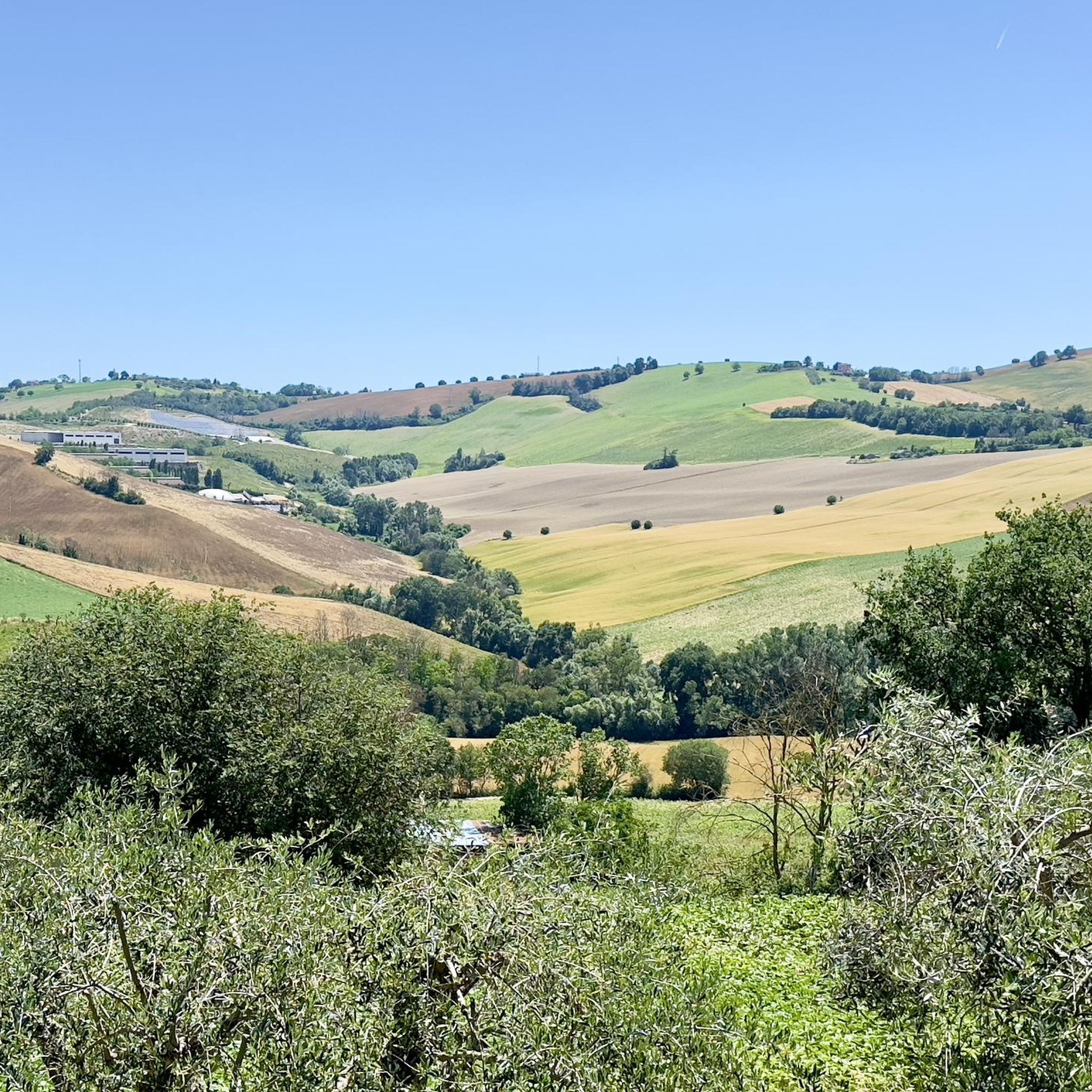
- Mountain biking around Monte Urano is defined by riverine environments, hilly terrain, and coastal proximity. The network offers options for different ability levels, from moderate climbs to more difficult, longer routes.
- The routes in Monte Urano are highly rated by the komoot community with an average score of 4.5 stars from over 240 reviews. More than 1800 mountain bikers have used komoot to explore Monte Urano's varied terrain.
Last updated: July 8, 2026
4.9
(10)
19
riders
30.6km
02:22
210m
210m
Hard mountain bike ride. Good fitness required. Advanced riding skills necessary. Some portions of the route may require you to push your bike.
5.0
(1)
15
riders
35.4km
02:54
690m
690m
Hard mountain bike ride. Good fitness required. Advanced riding skills necessary. Some portions of the route may require you to push your bike.

Sign up for free
12
riders
41.7km
02:58
860m
860m
Hard mountain bike ride. Good fitness required. Advanced riding skills necessary. Some portions of the route may require you to push your bike.
5.0
(1)
11
riders
24.7km
01:54
420m
420m
Hard mountain bike ride. Good fitness required. Advanced riding skills necessary. Some portions of the route may require you to push your bike.
5
riders
47.3km
03:17
790m
790m
Hard mountain bike ride. Good fitness required. Advanced riding skills necessary. Some portions of the route may require you to push your bike.
Get access to more routes and recommendations from other explorers.
Sign up for free
Already have an account?
Our route recommendations are based on thousands of hikes, rides, and runs completed by other people on komoot.
Start today with a free account
Your next adventure awaits.
Login or Signup

Tips from the Community

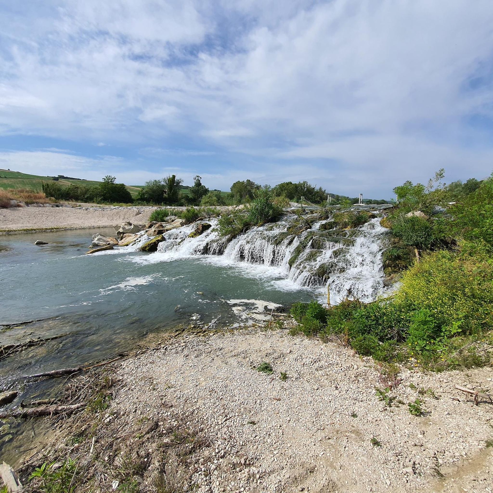
Fun section on the gravel of the Tenna river.
0
0

The climb is challenging in some sections, but the views it offers make it worthwhile. It's definitely best to do it after a good rain; today, the dust kicked up by a light breeze made it very difficult to breathe.
0
0

Nice trail that runs along the Tenna River, allowing you to avoid the very dangerous Faleriense Provincial Road. Unfortunately, it is not yet complete enough to reach the Adriatic cycle path. The initial stretch from Campiglione is a bit technical, but still doable with gravel.
0
0

An excellent panoramic point to observe the Sibillini Mountains chain. There are also signs with the writings of the mountains.
0
0
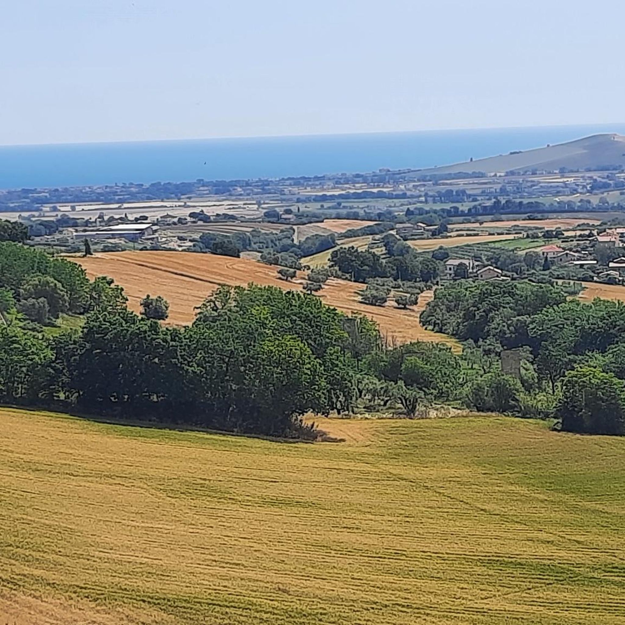
Top landscape for a view of the Adriatic
0
0

The Sibillini Mountains are a massif located between Marche and Umbria, in the Umbria-Marche Apennines along the central Apennines.
0
0
Road that descends from Fermo towards the Val d'Aso
0
0
Immediately after the center of Fermo, along the road that runs along the walls in a southerly direction, near a sharp bend there is an interesting observation point on the Sibillini and Gran Sasso
1
0
Frequently Asked Questions
How many mountain bike trails are available around Monte Urano?
Monte Urano offers over a dozen mountain bike trails, providing a variety of options for cyclists. The komoot community has explored 13 distinct routes in the area.
Are there mountain bike trails suitable for beginners in Monte Urano?
While there are no trails specifically graded as 'easy', Monte Urano does offer a couple of moderate routes. For example, the Challenging White Climb – 15% gradient wall loop from Monte Urano is rated as moderate, covering 32.4 km with 825m of elevation gain, offering a good option for those looking for a less intense but still engaging ride.
What kind of landscapes can I expect to see on mountain bike trails near Monte Urano?
The mountain bike trails around Monte Urano feature diverse landscapes, including scenic riverine environments along the Tenna River, undulating hilly terrain with significant elevation changes, and routes that extend to the Adriatic coast, offering sea views and beachfront access. This blend provides a dynamic and varied riding experience.
Are there any circular mountain bike routes in Monte Urano?
Yes, many of the mountain bike trails around Monte Urano are designed as loops. For instance, the popular Trail along the Tenna River loop from Monte Urano is a 29.8 km circular route that explores the riverine landscapes.
Can I find mountain bike trails that offer coastal views or access to the sea?
Absolutely. The Madonna Bruna Trail – Porto Sant'Elpidio seafront loop from Monte Urano is a challenging 61.4 km route that connects inland trails to the Adriatic coast, allowing you to enjoy sea views and beachfront amenities. You can also visit the Porto Sant'Elpidio seafront directly.
What are some notable landmarks or attractions along the mountain bike routes?
Along your rides, you might encounter various points of interest. The View from Penna San Giovanni – First Ring of Fermo loop from Monte Urano offers scenic vistas. Additionally, the region features historical sites like Piazza del Popolo in Fermo, and natural features like the Singletrack Along the Tenna River.
What do other mountain bikers say about the trails in Monte Urano?
The mountain biking experience in Monte Urano is highly regarded by the komoot community, with an average rating of 4.5 stars from over 240 reviews. Many riders praise the diverse terrain, from challenging climbs to scenic river paths and coastal sections.
Are there any challenging mountain bike routes for experienced riders?
Yes, Monte Urano is well-suited for experienced riders, with 11 out of 13 routes graded as 'difficult'. For example, the Tenna River Crossing – View of the Tanna Valley loop from Monte Urano is a challenging 38.4 km route with 450m of elevation gain, offering a rigorous workout and rewarding views.
When is the best time of year to go mountain biking in Monte Urano?
The Marche region, where Monte Urano is located, generally offers pleasant conditions for mountain biking during spring and autumn. These seasons typically provide milder temperatures and less extreme weather, making for more comfortable rides. Summer can be hot, especially on exposed trails, while winter might bring cooler temperatures and potential for rain.
Is there parking available near the mountain bike trailheads in Monte Urano?
While specific parking areas for each trailhead are not detailed, Monte Urano is a town with various access points. It is generally advisable to look for public parking within the town or at designated recreational areas that serve as starting points for tours. Local information or komoot tour details often provide insights into suitable parking spots.
Are the mountain bike trails in Monte Urano suitable for families?
Given that most trails are rated 'difficult' and there are no 'easy' routes, the mountain biking options in Monte Urano are generally more suited for experienced riders or families with older, more proficient cyclists. However, the coastal cycle paths near Porto Sant'Elpidio offer a safer and more tranquil option, separated from pedestrian and road traffic, which might be more suitable for a family outing.
Most popular routes around Monte Urano
Most popular attractions around Monte Urano

Get inspired with the komoot mobile app


Explore more
Browse the best MTB trails in other regions.
