The best road cycling routes around Sestri Levante
4.3
(684)
12,760
riders
27
rides
Road cycling around Sestri Levante is characterized by its unique peninsula, where the Ligurian Sea meets verdant hills, offering a diverse landscape. The region features coastal routes, hilly terrain, and prominent mountain passes, providing significant elevation gains. Cyclists can expect mostly well-paved surfaces on many routes.
Best road cycling routes around Sestri Levante
- The most popular road cycling route is From Sestri Levante towards Entella and Monte Domenico, a 23.2 miles (37.3 km) trail that takes 2 hours 7…
Last updated: October 24, 2026
4.2
(17)
319
riders
37.3km
02:07
800m
800m
Moderate road ride. Good fitness required. Mostly well-paved surfaces and easy to ride.
4.4
(34)
510
riders
65.3km
03:35
1,310m
1,310m
Hard road ride. Very good fitness required. Mostly well-paved surfaces and easy to ride.

4.0
(22)
407
riders
44.3km
01:59
380m
380m
Moderate road ride. Good fitness required. Mostly well-paved surfaces and easy to ride.
4.2
(9)
343
riders
84.9km
04:23
1,490m
1,490m
Hard road ride. Very good fitness required. Mostly well-paved surfaces and easy to ride.
4.5
(11)
280
riders
51.1km
02:53
1,090m
1,090m
Hard road ride. Very good fitness required. Mostly well-paved surfaces and easy to ride.
Get access to more routes and recommendations from other explorers.
Already have an account?
Our route recommendations are based on thousands of hikes, rides, and runs completed by other people on komoot.
Start today with a free account
Your next adventure awaits.
Popular around Sestri Levante
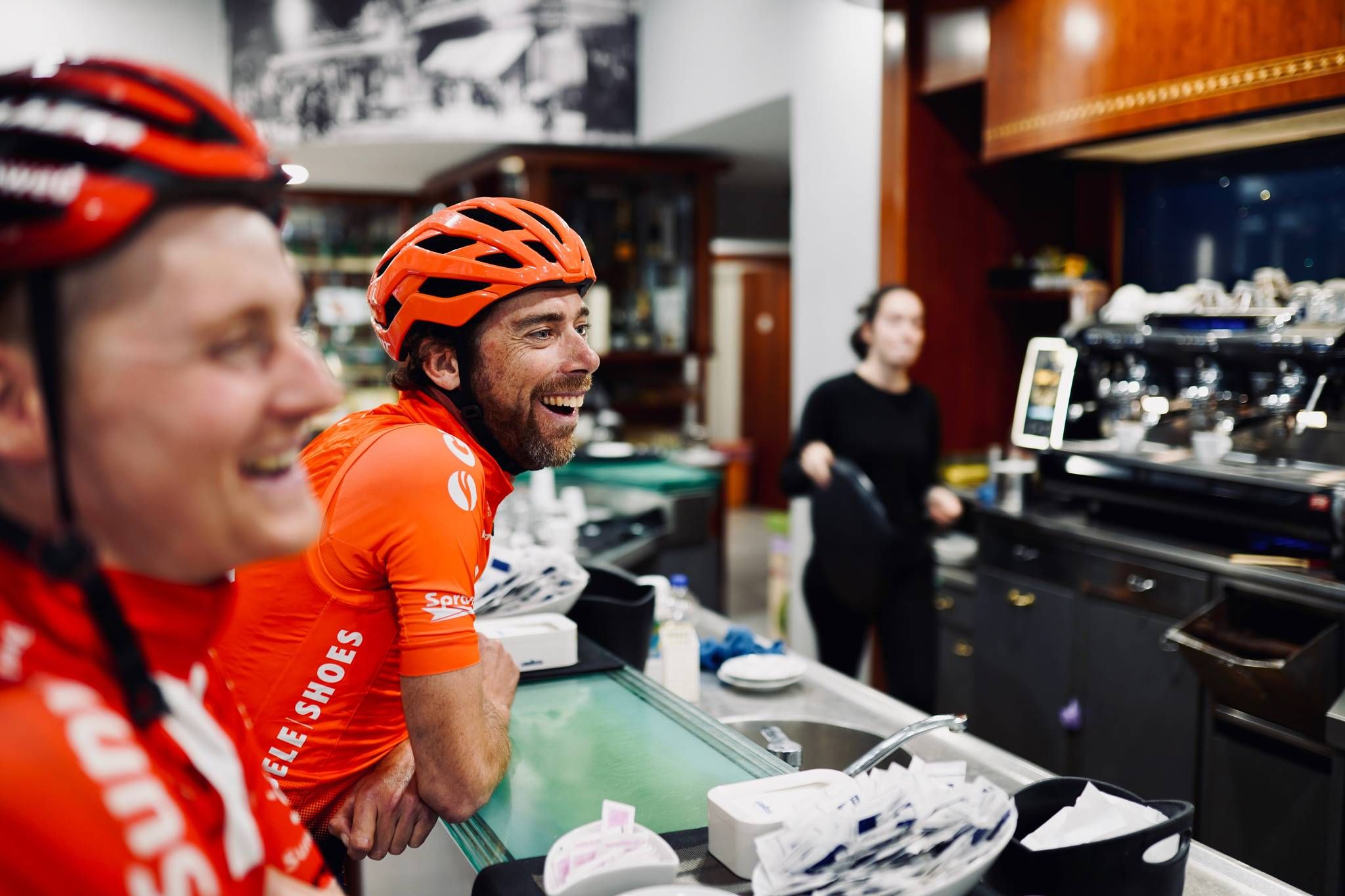
#transit: My farewell to pro-cycling – from Como to Lecchi in two days
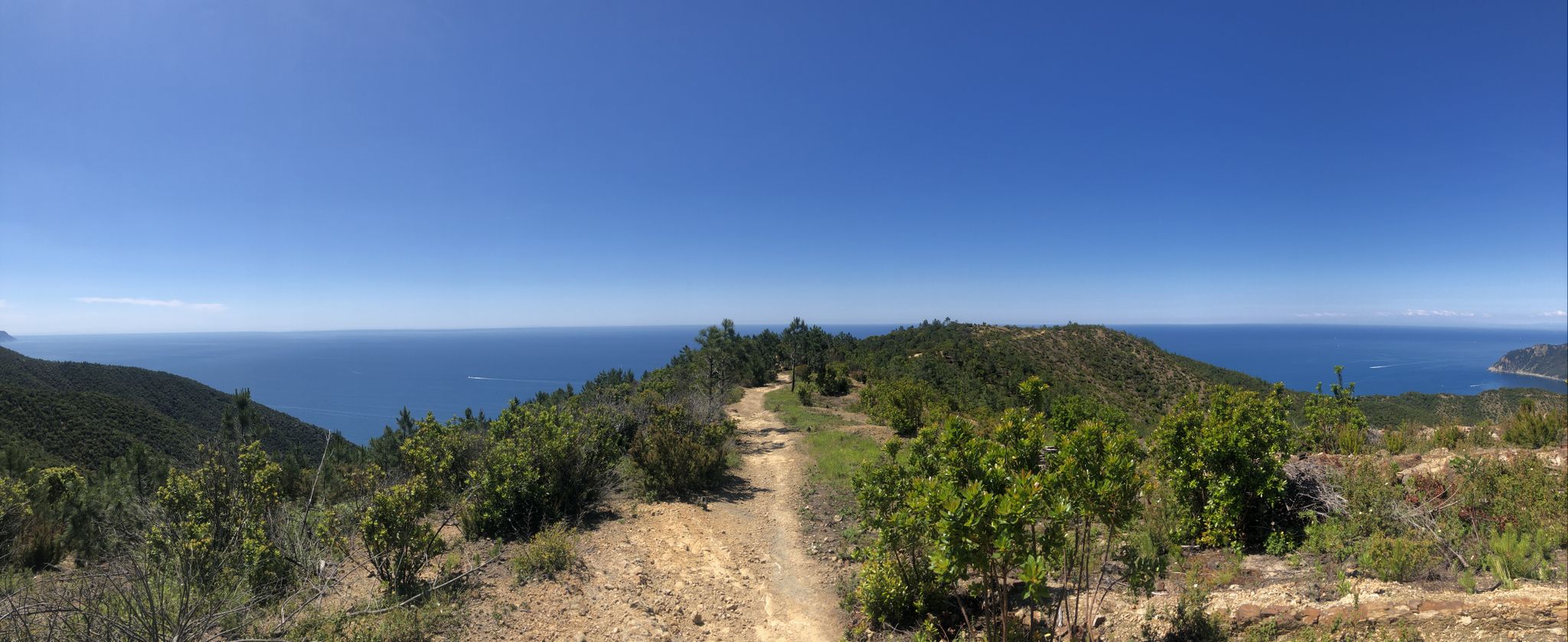
Via della Costa – A breathtaking hike along the Italian Riviera

MTB in Italy’s Sestri Levante — a dive into the blue

Hiking around Sestri Levante

MTB Trails around Sestri Levante

Running Trails around Sestri Levante

Cycling around Sestri Levante

Gravel biking around Sestri Levante
Other adventures around Sestri Levante


Tips from the Community

Between the Passo and Varese Ligure, on the stretch under the jurisdiction of the Province of La Spezia, the road surface is a crime against... cyclists. When descending, you need to be very careful and ride at a very low speed so as not to risk your bike, your "rear end", and your teeth. But it's not easy at all on the climb either.
0
0

Passo del Bracco is a famous pass in the Ligurian Apennines located 615 meters above sea level along the State Road 1 Aurelia (SS1), in the province of La Spezia
0
0
The scenic road between Lavagna and Cavi is an alternative route to the Via Aurelia that skirts the hills and offers a splendid view of the sea. Main features Route: A narrow and winding road ideal for avoiding traffic on the coastal road. Activities: It is a highly recommended stretch for road cycling and scenic walks. Elevation gain: It features a slight climb of about 50 meters and a descent of 40 meters.
0
0
The Marco Pantani Fountain on the Passo di Guaitarola is a characteristic fountain for cyclists located on the pass of the same name, on the slopes of the mountain of the same name between the coast and the Passo del Bracco.
0
0
Passo della Mola (or Valico della Mola) is a mountain pass at an altitude of approximately 650-655 meters, located in Liguria, between the province of La Spezia and the metropolitan city of Genoa. It connects the coastal area to the Val di Vara (municipality of Carro). Main characteristics Altitude: 650 - 655 m a.s.l. Location: Connects the area of Carro and Velva, serving as an alternative to the better-known Passo del Bracco. Road: It is traversed via the Provincial Road 50 (SP50). The road has a narrow carriageway, generally moderate gradients, but with several curves and tight hairpin bends. Panorama: On clear days, it offers a view stretching from the Maritime Alps to the Apuan Alps.
0
0


After the fork from Bracco towards Levanto..very fresh water..🤩
1
0

Frequently Asked Questions
How many road cycling routes are available around Sestri Levante?
There are over 25 road cycling routes around Sestri Levante, offering a diverse range of experiences for cyclists. These routes are highly rated by the komoot community, with an average score of 4.4 stars.
What kind of terrain can I expect when road cycling in Sestri Levante?
Sestri Levante offers a unique blend of coastal beauty and verdant hills. You can expect diverse terrain, from scenic coastal paths with breathtaking vistas of the Ligurian Sea to challenging ascents through hilly landscapes and prominent mountain passes. Most routes feature well-paved surfaces.
Are there challenging road cycling routes with significant elevation gain?
Yes, Sestri Levante is known for routes with substantial elevation gains, appealing to those seeking a vigorous workout. For example, the Sestri Levante Beach – Passo del Biscia loop is a difficult 83.6 km path featuring over 1,480 meters of elevation gain. Another challenging option is the Scoffera (Municipality of Davagna) – La Bella di Torriglia loop, which covers 116.2 km with similar elevation.
Are there moderate road cycling options for intermediate riders?
Absolutely. Sestri Levante offers several moderate routes. A popular choice is From Sestri Levante towards Entella and Monte Domenico, a 37.3 km trail with ascents towards Monte Domenico. Another great moderate option is the Bay of Silence – Ascent to the Velva Sanctuary loop, covering 57.5 km with over 720 meters of elevation gain.
What scenic views or natural features can I expect on road cycling routes?
Road cycling routes in Sestri Levante frequently offer breathtaking vistas of the Ligurian coast, charming seaside villages, and the sparkling blue waters of the sea. You'll encounter the iconic peninsula separating the Baia del Silenzio and Baia delle Favole, and routes often provide glimpses of these renowned bays. The 'Aurelia' route between Riva Trigoso and Carrodano is particularly noted for its evocative beauty.
Are there any notable landmarks or attractions accessible by road bike?
Yes, many routes offer views or access to interesting points. For instance, you might pass by the Ruins of the Church of Sant'Anna. The region also features stunning viewpoints like the View of Sestri Levante and the Ligurian Sea from Punta Manara, or the View of Sestri Levante and Baia del Silenzio from Punta Manara, which can be incorporated into your cycling adventures.
When is the best time of year to go road cycling in Sestri Levante?
Sestri Levante's captivating location makes it a prime destination for outdoor enthusiasts. While specific seasonal advice for cycling isn't provided, the region's mild Mediterranean climate generally allows for enjoyable cycling for much of the year, with spring and autumn often offering the most comfortable temperatures for longer rides.
What do other road cyclists enjoy the most about road cycling in Sestri Levante?
The road cycling routes in Sestri Levante are highly rated by the komoot community, with an average score of 4.4 stars from over 100 reviews. Cyclists often praise the diverse landscape, which combines stunning coastal views with challenging hilly terrain, and the mostly well-paved surfaces that provide an enjoyable riding experience.
Are there any routes that offer views of nearby towns or the wider Gulf of Tigullio?
Yes, several routes provide expansive views of the surrounding area. The View of Rapallo and Zoagli – Rapallo Castle loop offers scenic perspectives of these coastal towns. Additionally, routes winding through the hills often provide panoramic views of the Ligurian coast and the vast Gulf of Tigullio.
Can I find circular road cycling routes in Sestri Levante?
Yes, many of the road cycling routes around Sestri Levante are designed as loops, allowing you to start and finish in the same location. Examples include the challenging Sestri Levante Beach – Passo del Biscia loop and the moderate Bay of Silence – Ascent to the Velva Sanctuary loop.
Most popular routes around Sestri Levante
Most popular attractions around Sestri Levante

Get inspired with the komoot mobile app


Explore more
Browse the best Road cycling routes in other regions.
