The best walks and hikes around Trecenta
4.9
(8)
70
hikers
36
hikes
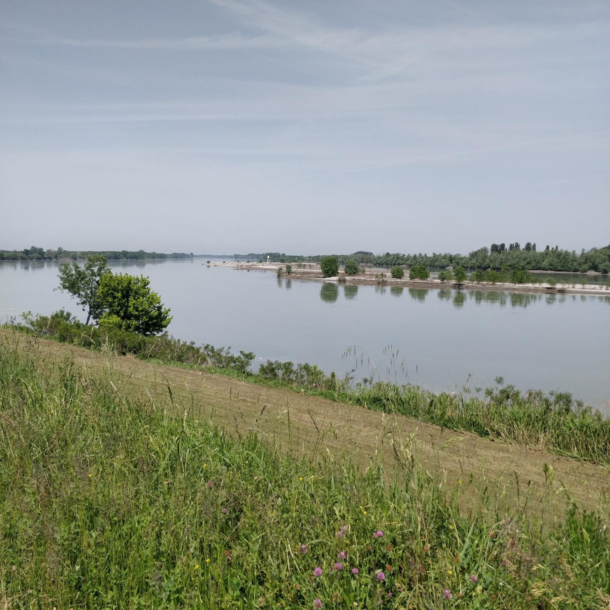
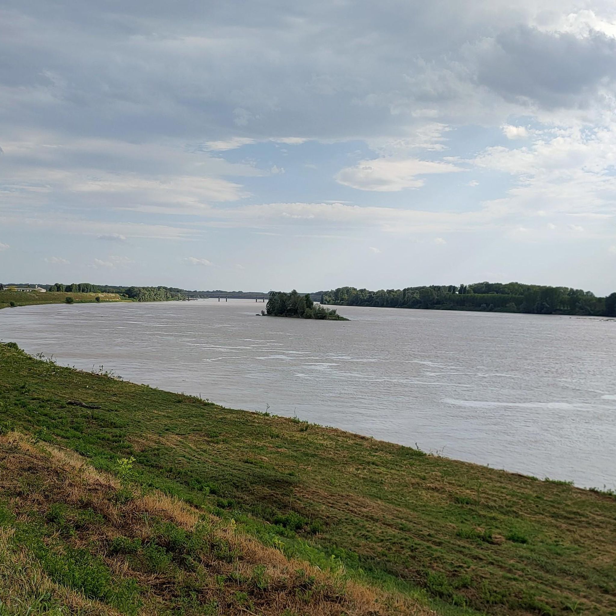
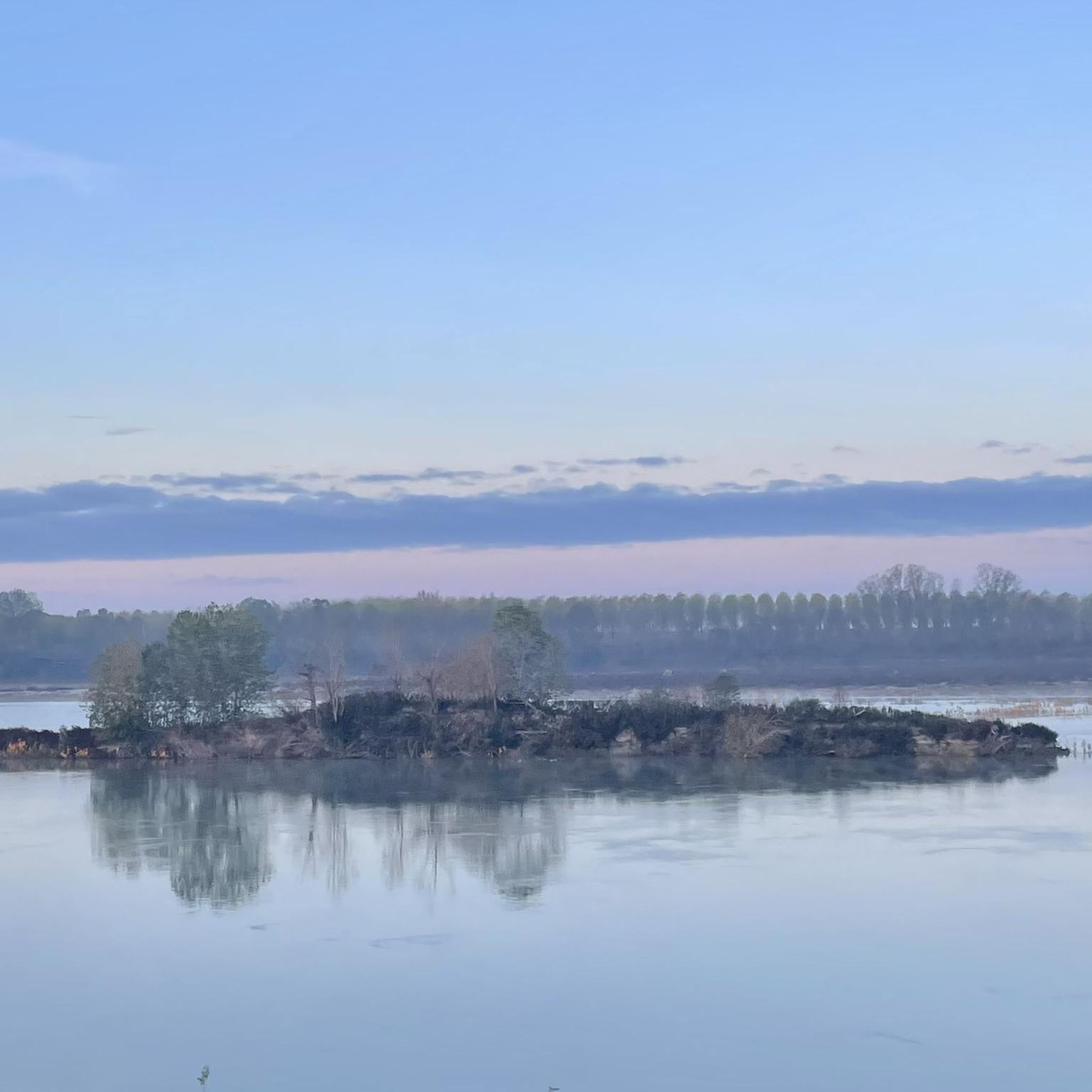
Hiking around Trecenta offers routes through a largely flat landscape characterized by significant river systems and unique wetlands. The area is defined by the Po River and the nearby Adige River, providing natural and environmental resources. Notable natural features include the Gorghi di Trecenta, a complex of wetlands formed by historical flooding, which supports diverse flora and fauna. The terrain primarily consists of riverbanks and countryside paths.
Best hiking trails around Trecenta
- The most popular hiking route is Adige River…
Last updated: July 1, 2026
5.0
(3)
8
hikers
12.3km
03:06
20m
20m
Hike a moderate 7.6-mile (12.3 km) loop along the Adige River near Badia Polesine, exploring flat plains and historic landmarks.
7
hikers
5.30km
01:20
10m
10m
Easy hike. Great for any fitness level. Easily-accessible paths. Suitable for all skill levels.

Sign up for free
4.5
(2)
6
hikers
5.16km
01:18
10m
10m
Easy hike. Great for any fitness level. Easily-accessible paths. Suitable for all skill levels.
6
hikers
7.84km
01:59
20m
20m
Easy hike. Great for any fitness level. Easily-accessible paths. Suitable for all skill levels.
5
hikers
5.61km
01:25
10m
10m
Easy hike. Great for any fitness level. Easily-accessible paths. Suitable for all skill levels.
Get access to more routes and recommendations from other explorers.
Sign up for free
Already have an account?
Our route recommendations are based on thousands of hikes, rides, and runs completed by other people on komoot.
Start today with a free account
Your next adventure awaits.
Login or Signup
Tips from the Community

There is always shade here
0
0

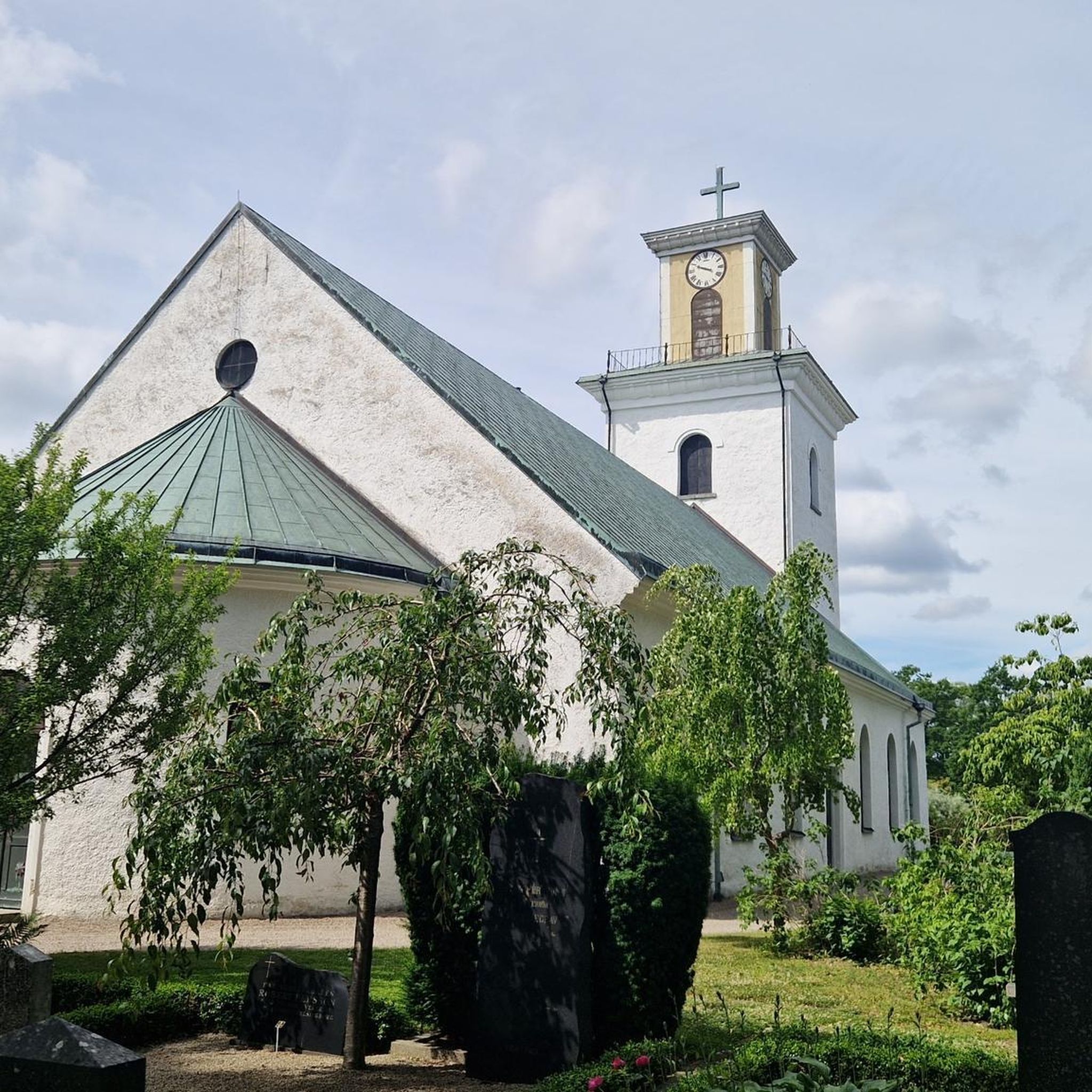
The Vangadizza abbey dates back to the 9th-10th century. In 1810 it underwent a partial demolition from which only an apse chapel and the leaning bell tower survived.
1
0
A stone's throw from the Adige and not far from the town of Badia Polesine, it opens up to the plain at 360° and we can admire the beautiful panoramas.
1
0

Larger town on the Etsch cycle path between Verona and Rosalina Mare. Ideal for an overnight stay.
3
1
Frequently Asked Questions
What kind of terrain can I expect on hikes in Trecenta?
The terrain around Trecenta is primarily flat, characterized by riverine landscapes along the Po and Adige rivers, and countryside paths. You'll find trails winding through wetlands, cane and willow thickets, and open fields, rather than traditional mountainous terrain.
Are there any easy hiking trails suitable for beginners in Trecenta?
Yes, Trecenta offers several easy hiking trails perfect for beginners or those looking for a relaxed walk. Out of the 16 available routes, 10 are classified as easy. An example is the Vangadizza Abbey loop from Badia Polesine, which is 3.3 miles (5.3 km) long.
What natural features or landmarks can I see while hiking in Trecenta?
Trecenta is known for its unique wetlands, the Gorghi di Trecenta, which are a complex of small lakes formed by historical flooding. The largest, Gorgo della Sposa, is particularly notable. You'll also encounter the banks of the Po and Adige rivers, with their diverse flora and fauna. Some routes pass by historic sites like Vangadizza Abbey.
Are there any circular hiking routes in Trecenta?
Yes, many of the trails around Trecenta are circular, allowing you to start and end at the same point. Examples include the Adige River and Vangadizza Abbey Loop and the Po Embankment – Access to Parco del Gruccione loop from Sermide.
What do other hikers enjoy most about hiking in Trecenta?
The area is highly rated by the komoot community, with an average score of 5.0 stars from 4 reviews. Hikers often praise the peaceful riverine landscapes, the unique wetlands of the Gorghi, and the accessibility of the trails for various ability levels.
Are the hiking trails in Trecenta suitable for families with children?
Given the largely flat terrain and the presence of many easy routes, Trecenta is well-suited for family-friendly hikes. The natural beauty of the Gorghi wetlands and riverbanks offers engaging scenery for children. Consider shorter, easy loops like the Vangadizza Abbey loop from Badia Polesine.
Can I bring my dog on the hiking trails in Trecenta?
While specific regulations for each trail may vary, the natural, open character of Trecenta's riverine and countryside paths generally makes them suitable for dog walking. Always ensure your dog is under control and check for any local signage regarding leash requirements or restricted areas, especially near wildlife habitats like the Gorghi.
What is the best time of year to go hiking in Trecenta?
Trecenta's mild climate makes it suitable for hiking for much of the year. Spring and autumn offer pleasant temperatures and vibrant natural colors, ideal for exploring the wetlands and riverbanks. Summer can be warm, so early morning or late afternoon hikes are recommended. Winter hikes are also possible, offering a different, serene perspective of the landscape.
Are there any historical sites or attractions near the hiking routes?
Yes, several routes pass by or are close to historical sites. For instance, the Adige River and Vangadizza Abbey Loop explores the banks of the Adige River and passes by the historic Vangadizza Abbey. You can also find nearby attractions like the Stellata Stronghold or the Napoleonic Canal.
How many hiking trails are available around Trecenta?
There are over 15 hiking trails around Trecenta, offering a range of experiences from easy strolls to moderate excursions through its unique riverine and wetland landscapes.
What are the main rivers that define the hiking landscape in Trecenta?
The hiking landscape in Trecenta is significantly shaped by two major Italian rivers: the Po River, which forms a natural boundary and offers extensive embankments, and the nearby Adige River. Both provide rich natural environments for exploration.
Are there any specific natural reserves or protected areas to explore?
While not a large national park, the Gorghi di Trecenta wetlands are a distinctive natural feature, recognized for their rich biodiversity and unique ecosystem. These 'Gorghi' are natural cavities forming small lakes, providing a habitat for various bird species like grey herons and mallards. You can also find the Bosco di Porporana Nature Reserve nearby.
Most popular attractions around Trecenta

Get inspired with the komoot mobile app


Explore more
Browse the best Hikes in other regions.
