The best walks and hikes around Stienta
4.5
(23)
231
hikers
29
hikes
Hiking around Stienta offers routes through a predominantly flat landscape, characterized by river plains and agricultural areas. The terrain features minimal elevation changes, making it suitable for accessible walks. Paths often follow existing cycle and pedestrian routes, providing clear and well-defined trails. The region's geography is shaped by its proximity to waterways, influencing the character of its outdoor paths.
Best hiking trails around Stienta
- The most popular hiking route is Ferrara Town Hall – Estense Castle, Ferrara loop from Cassana…
Last updated: July 1, 2026
4.0
(2)
39
hikers
10.5km
02:39
20m
20m
Moderate hike. Good fitness required. Easily-accessible paths. Suitable for all skill levels.
16
hikers
6.29km
01:36
10m
10m
Easy hike. Great for any fitness level. Easily-accessible paths. Suitable for all skill levels.

Sign up for free
5.0
(1)
2
hikers
6.51km
01:39
10m
10m
Easy hike. Great for any fitness level. Easily-accessible paths. Suitable for all skill levels.
6
hikers
7.12km
01:48
10m
10m
Easy hike. Great for any fitness level. Easily-accessible paths. Suitable for all skill levels.
3.0
(1)
3
hikers
8.03km
02:02
10m
10m
Moderate hike. Good fitness required. Easily-accessible paths. Suitable for all skill levels.
Get access to more routes and recommendations from other explorers.
Sign up for free
Already have an account?
Our route recommendations are based on thousands of hikes, rides, and runs completed by other people on komoot.
Start today with a free account
Your next adventure awaits.
Login or Signup
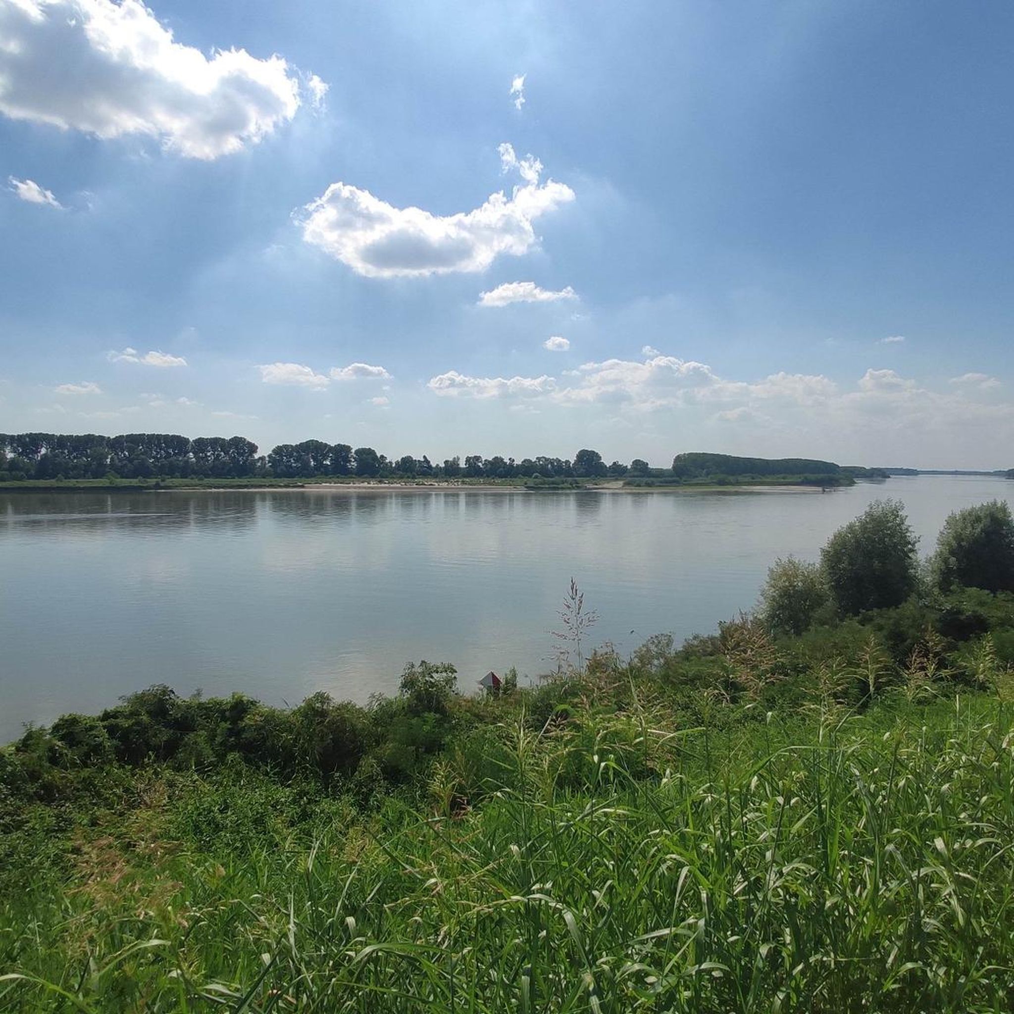
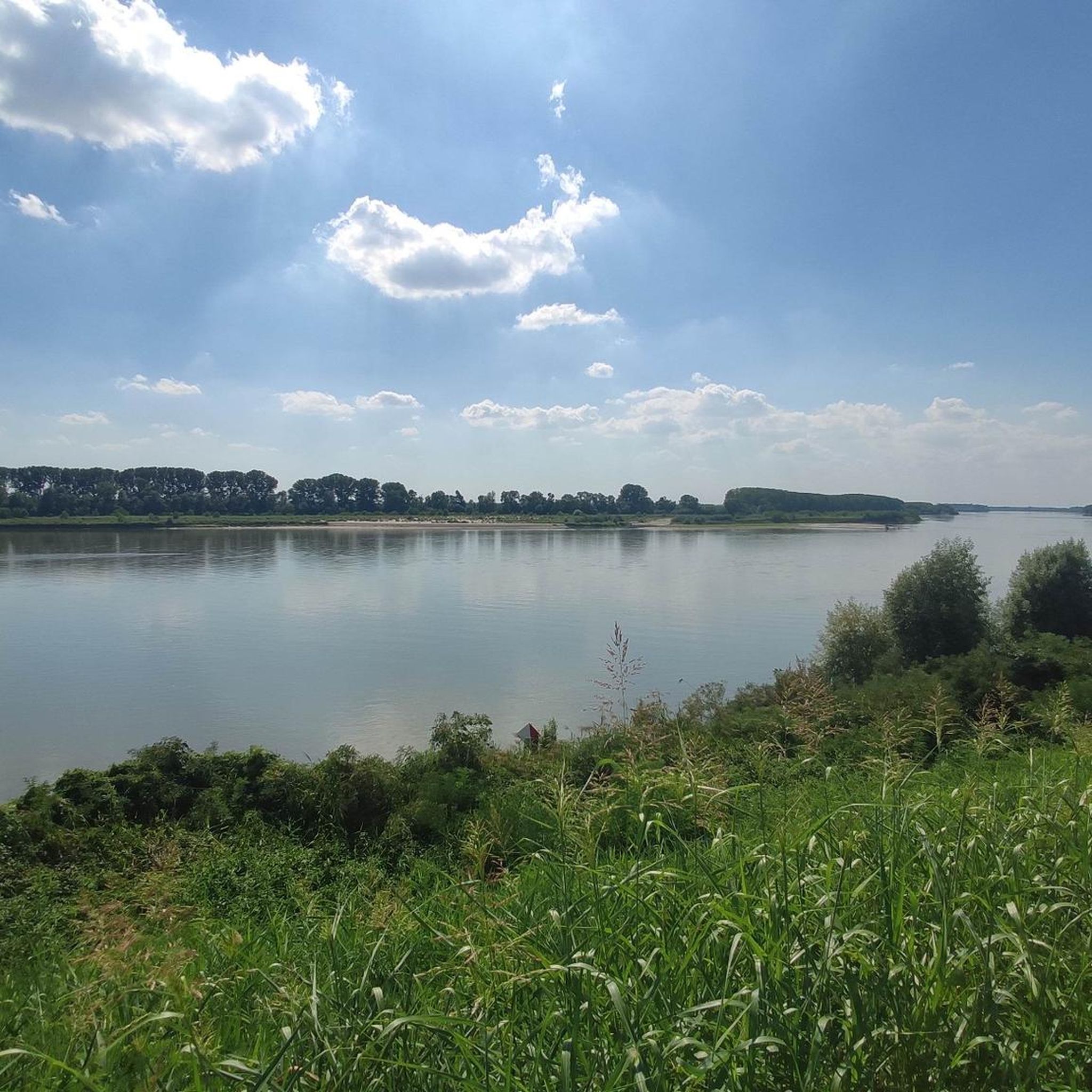
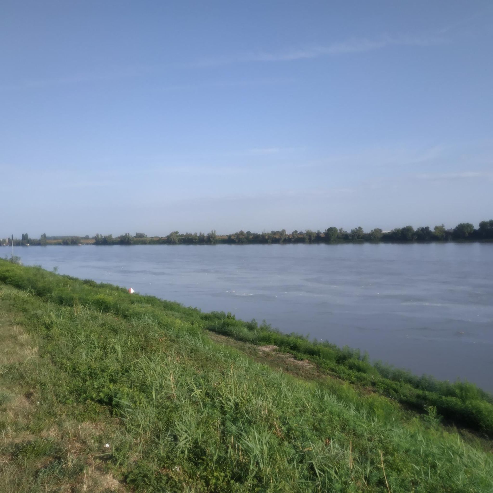
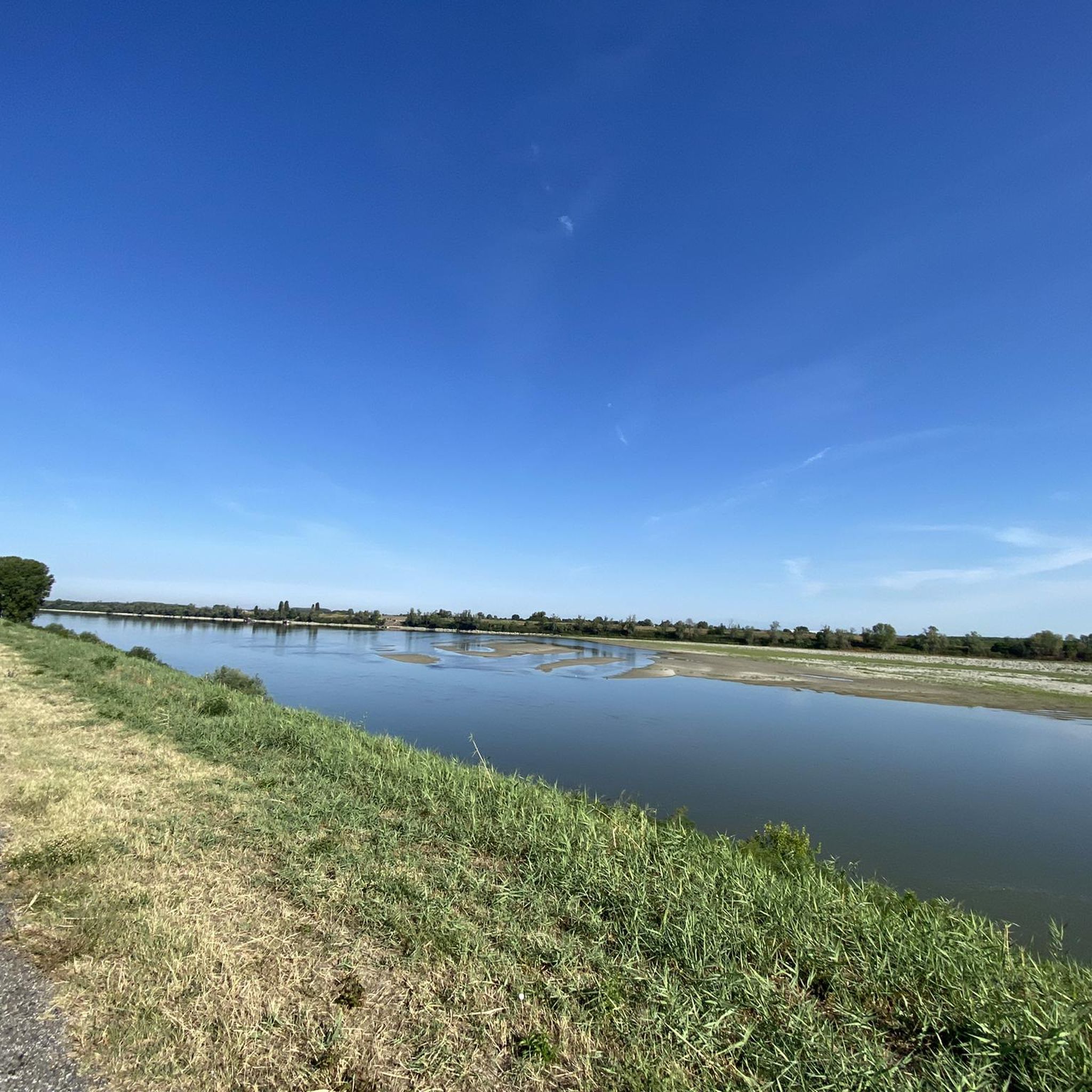
Tips from the Community

Beautiful cycle path
0
0
All the mosquitoes in Italy are there
0
0
Beautiful cycle path
0
0
Beautiful cycle path
0
0
Good asphalt
0
0
Frequently Asked Questions
What kind of terrain can I expect on hikes near Stienta?
Hiking around Stienta is characterized by predominantly flat landscapes, river plains, and agricultural areas. The terrain features minimal elevation changes, making it suitable for accessible walks. Paths often follow existing cycle and pedestrian routes, providing clear and well-defined trails.
Are there easy hiking trails around Stienta?
Yes, Stienta offers several easy routes. For example, the Hiking loop from San Biagio is an easy 4.0-mile (6.5 km) trail that leads through open countryside, typically completed in about 1 hour 39 minutes.
Are there any challenging hikes in the Stienta area?
While the region is generally flat, there is one route classified as difficult among the available options. This route offers a more strenuous experience compared to the predominantly easy and moderate trails.
How long do hikes typically take around Stienta?
Hike durations vary depending on the route. For instance, the Ferrara Town Hall – Estense Castle, Ferrara loop from Cassana is a moderate 7.3-mile (11.7 km) trail that takes approximately 2 hours 58 minutes to complete. Shorter options like the Hiking loop from San Biagio can be completed in under 2 hours.
Are there circular hiking routes available in Stienta?
Yes, many of the trails around Stienta are designed as loops, offering convenient circular routes. Examples include the Burana Cycle and Pedestrian Path loop from Vigarano Pieve and the Hiking loop from San Biagio.
Is it possible to reach hiking trails in Stienta by public transport?
Stienta is a smaller town, and while some local bus services might connect to nearby villages, direct public transport access to specific trailheads can be limited. It's advisable to check local bus schedules or consider driving for more flexibility.
Where can I park when hiking near Stienta?
Parking availability will depend on the specific trailhead. For routes starting from towns or villages like Vigarano Pieve or Cassana, you can often find public parking areas. Always check local signage for parking regulations.
Are the hiking trails around Stienta suitable for families with children?
Yes, the predominantly flat terrain and minimal elevation changes make many trails around Stienta suitable for families. Easy routes like the Hiking loop from San Biagio are good options for walks with children.
Can I bring my dog on the hiking trails in Stienta?
Generally, dogs are welcome on hiking trails in Italy, but it's always best to keep them on a leash, especially in agricultural areas or near wildlife. Always carry waste bags and ensure your dog is well-behaved around other hikers and local fauna.
What are some interesting natural sights or landmarks to see while hiking?
While hiking around Stienta, you can explore several natural attractions. Highlights include the Bosco del Mel Memorial, the Monumental White Poplar by the Po River, and the Bosco di Porporana Nature Reserve. There are also several lakes like Oasi di Vigarano Pieve and Gorgo della Sposa.
What is the best time of year to go hiking in Stienta?
Spring and autumn are generally the best times for hiking in Stienta, offering pleasant temperatures and colorful scenery. Summer can be hot, especially in the open agricultural areas, so early mornings or late afternoons are recommended if hiking during this season.
Are there options for winter hiking in Stienta?
Winter hiking in Stienta is possible due to the flat terrain, though temperatures will be cooler. The paths are generally accessible, but always check local weather conditions for frost or fog, and dress in layers.
What do other hikers say about the trails in Stienta?
The hiking routes in Stienta are highly rated by the komoot community, with an average score of 4.6 stars from over 5 reviews. Hikers often praise the quiet, accessible paths and the opportunity to experience the region's unique riverine and agricultural landscapes.
Most popular attractions around Stienta

Get inspired with the komoot mobile app


Explore more
Browse the best Hikes in other regions.
