The best walks and hikes around Altivole
4.4
(1287)
7,660
hikers
397
hikes
Hiking around Altivole offers access to diverse landscapes at the foot of the Asolo Hills and near the Monte Grappa massif. The region is characterized by gentle slopes, vineyards, and woodlands in the Asolo Hills, contrasting with the more rugged terrain of Monte Grappa. Trails navigate through varied environments, including forested paths and historic mule tracks. The area provides a blend of natural beauty and historical significance, with routes suitable for different skill levels.
Best hiking trails around Altivole
- The…
Last updated: July 5, 2026
4.3
(3)
59
hikers
8.20km
02:09
70m
70m
Moderate hike. Good fitness required. Easily-accessible paths. Suitable for all skill levels.
4.7
(9)
40
hikers
6.20km
01:46
140m
140m
Easy hike. Great for any fitness level. Easily-accessible paths. Suitable for all skill levels.

Sign up for free
4.2
(5)
33
hikers
11.4km
03:08
180m
180m
Moderate hike. Good fitness required. Easily-accessible paths. Suitable for all skill levels.
4.4
(7)
29
hikers
6.60km
01:57
190m
190m
Easy hike. Great for any fitness level. Easily-accessible paths. Suitable for all skill levels.
4.4
(5)
57
hikers
11.2km
02:56
90m
90m
Moderate hike. Good fitness required. Easily-accessible paths. Suitable for all skill levels.
Get access to more routes and recommendations from other explorers.
Sign up for free
Already have an account?
Our route recommendations are based on thousands of hikes, rides, and runs completed by other people on komoot.
Start today with a free account
Your next adventure awaits.
Login or Signup

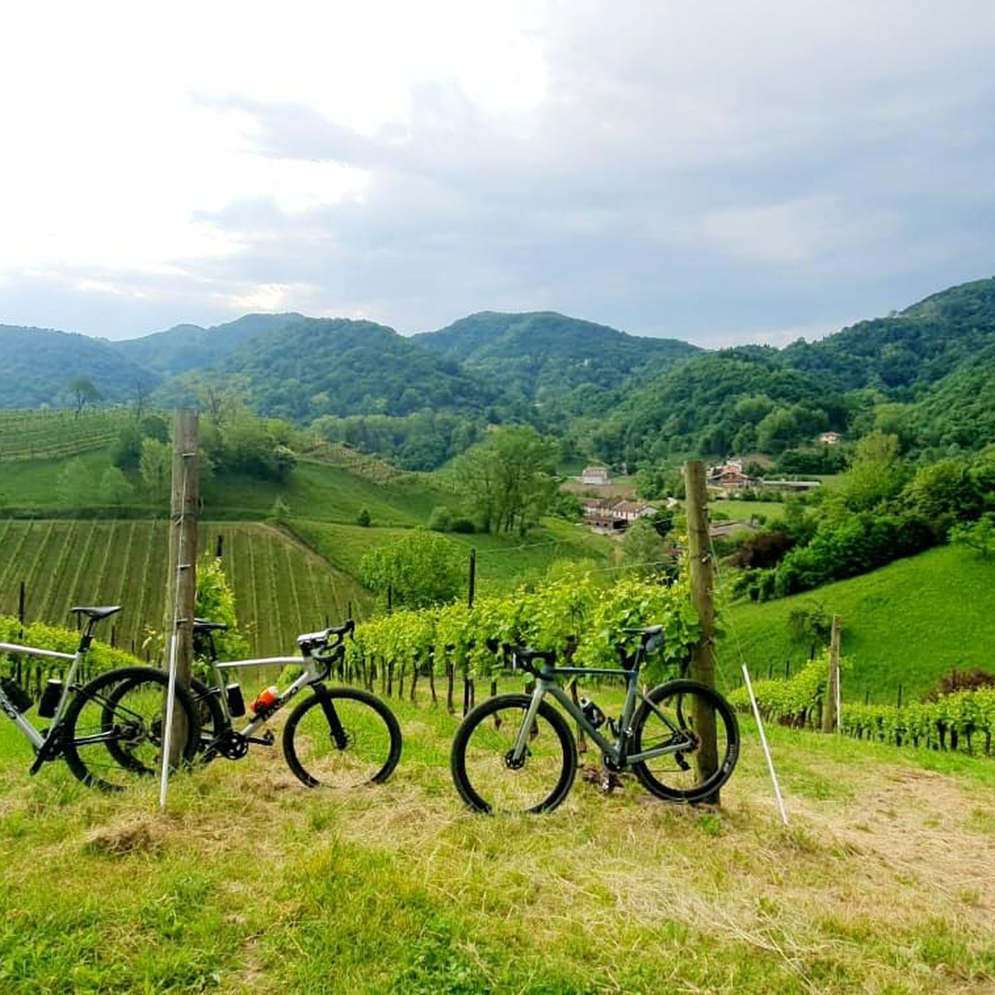
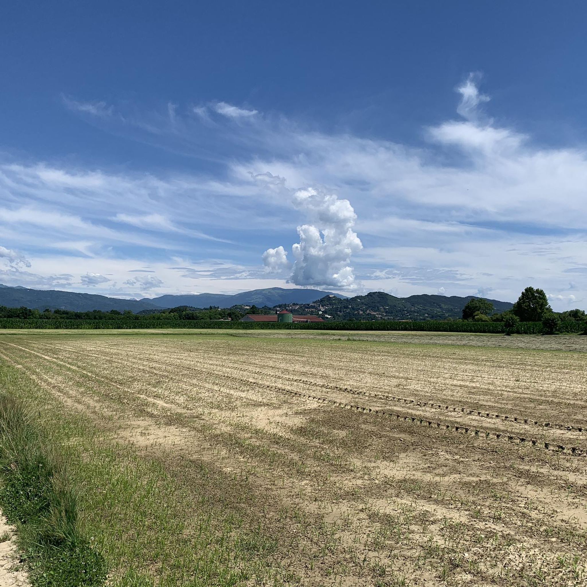
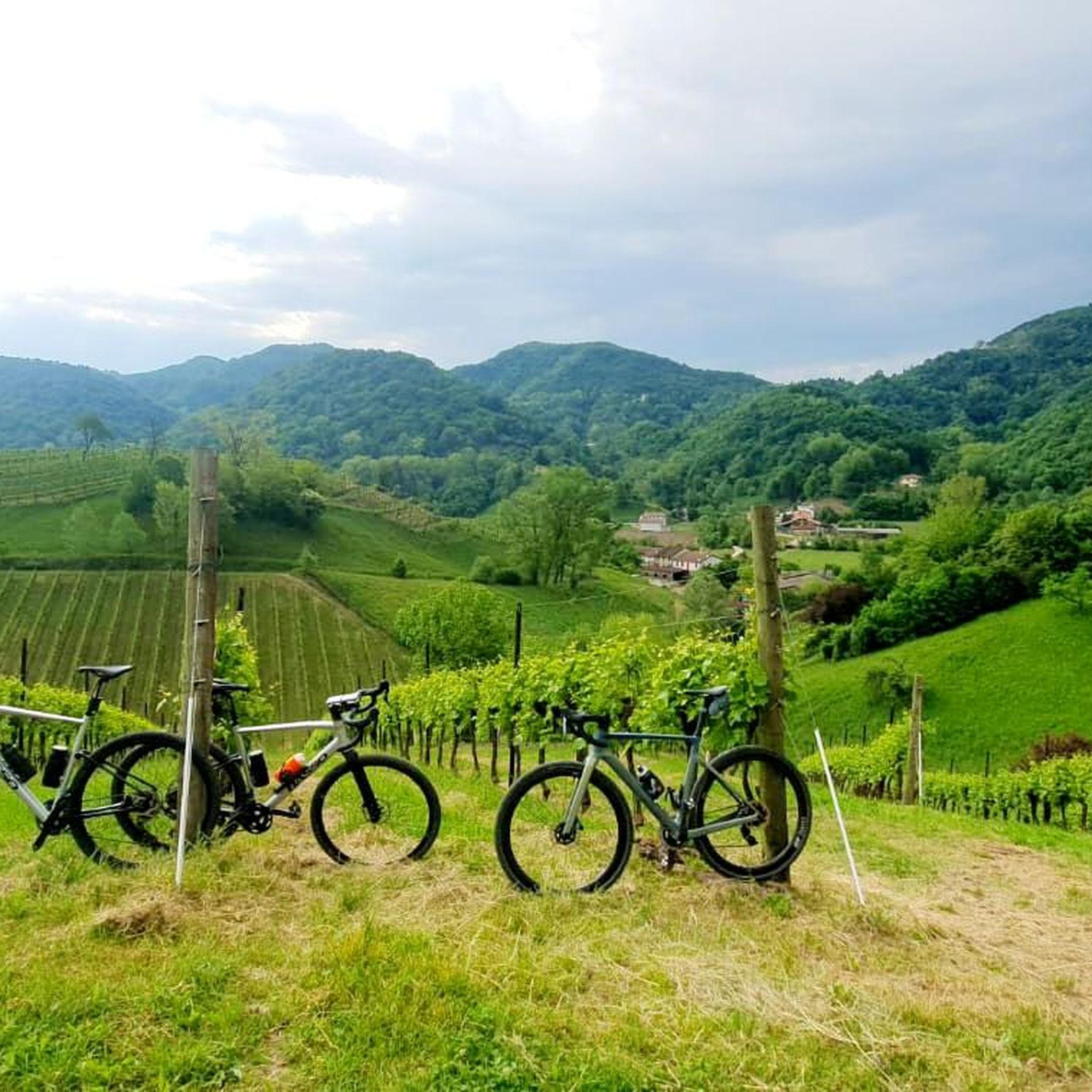
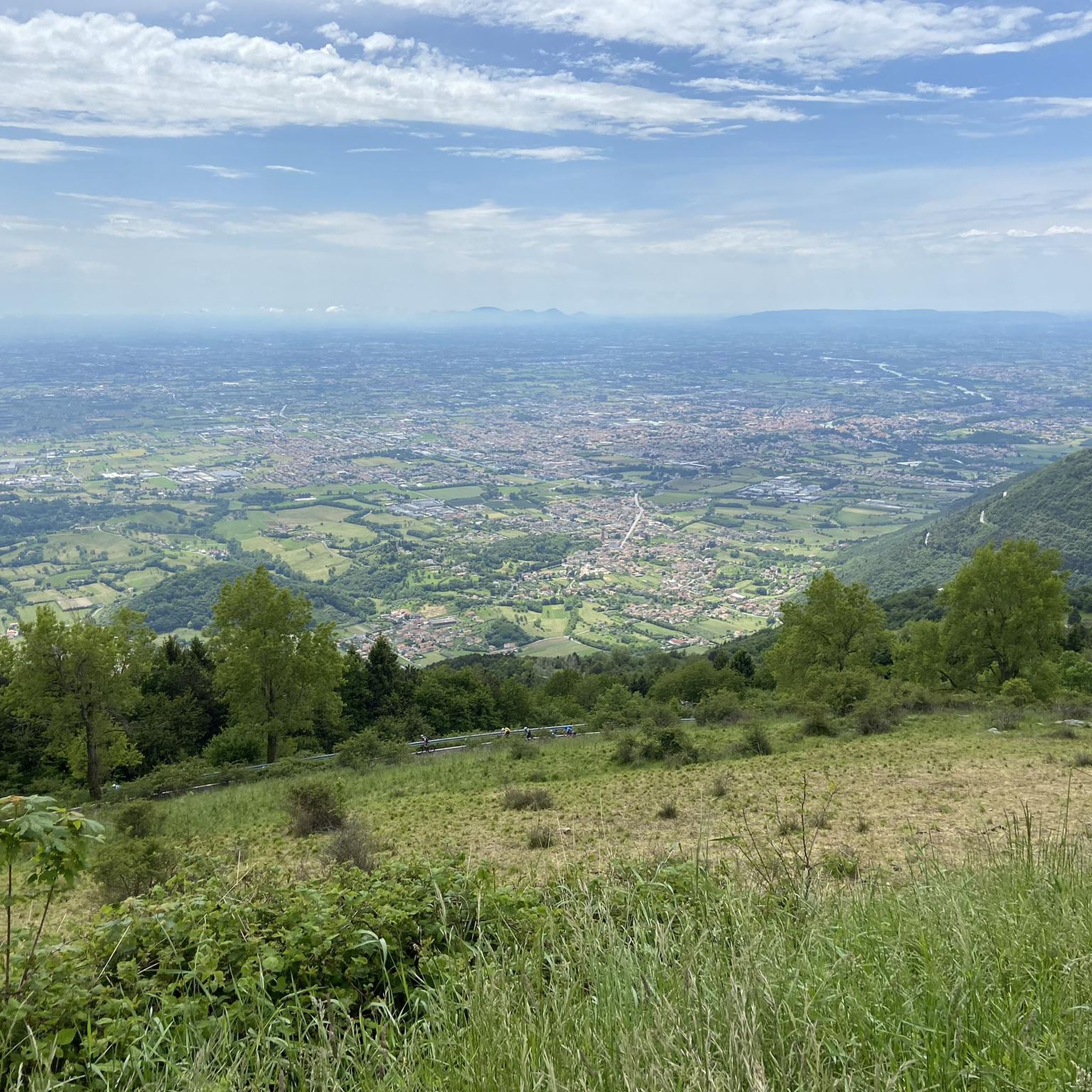
Tips from the Community

The Rocca di Asolo is an imposing medieval fortress located on the summit of Monte Ricco, the highest point of the village, from which it dominates the entire surrounding landscape. Built between the late 12th and early 13th centuries, the structure has an irregular polygonal plan with massive conglomerate and brick walls, devoid of external openings to maximize its defensive function. From its summit, you can enjoy one of the most famous views in the Veneto region, stretching from the peaks of Monte Grappa and the Dolomites to the Venice Lagoon on clearer days. Recently restored, the Rocca is now open to visitors and allows you to walk along the ramparts, offering a total immersion into the military history of the territory and fully justifying the famous definition of Asolo as the "city of a hundred horizons".
0
0

From the fortress's ramparts, you can enjoy a magnificent 360° panorama of the plain, the hills, the mountains (Grappa in the foreground), and Asolo. To reach the fortification, you need to tackle a long and evocative paved staircase that winds around the village walls. It is only open on Saturdays, Sundays, and public holidays. Entrance fee: €5 (a bit expensive for a short panoramic walk). https://www.asolo.it/cosa-vedere-asolo-rocca/
0
0


It is located in Asolo, a magnificent village to be discovered
1
0


It's always nice to go and drink coffee in the centre of Asolo
0
0

Nice view on the plane. It's short uphill (50mt stones floor), but isn't ridable with a road/gravel bike. For roadies and gravellers it's a portage section, for sure (roadies, pay attention when walk on stones with stiff shoes). An MTB and a real good fitness are required to achieve the top of the hill.
0
1

The vital hub of Asolo. For sports enthusiasts, a coffee in the bars overlooking the square is a must, as is the entrance to the Duomo, with Renaissance treasures.
0
0
Frequently Asked Questions
How many hiking trails are available around Altivole?
There are over 380 hiking trails around Altivole, offering a wide range of options for different skill levels and preferences. You'll find everything from gentle strolls through vineyards to more challenging ascents in the nearby mountains.
What kind of hiking difficulties can I expect around Altivole?
The Altivole area offers a diverse range of hiking difficulties. You'll find over 180 easy trails, perfect for relaxed walks, and another 180 moderate routes, which often include some elevation gain. For those seeking a greater challenge, there are also around 20 difficult trails, particularly as you venture towards the Monte Grappa Massif.
Are there family-friendly hiking trails near Altivole?
Yes, the region offers several family-friendly options, especially in the gentler Asolo Hills. Trails like the Piazza Garibaldi – Cathedral of Saint Mary of the Assumption loop from Asolo are relatively short and have minimal elevation, making them suitable for families. The Sile River Regional Natural Park, though a bit further, also provides flat, accessible paths ideal for all ages.
What are some notable landmarks or attractions I can see while hiking near Altivole?
Many trails around Altivole offer a blend of natural beauty and historical significance. You can explore the historic town of Asolo, often called the 'Pearl of the Province of Treviso,' or visit the majestic Monte Grappa, which offers expansive views. Other points of interest include the Oratory of San Giorgio and Bell Tower on Colle San Giorgio and the historic Villa Barbaro (Villa di Maser).
Are there any circular hiking routes in the Altivole area?
Yes, many of the popular routes around Altivole are circular, allowing you to start and end at the same point. A great example is the Asolo Fortress (Rocca di Asolo) – Piazza Garibaldi loop from Asolo, which takes you through the historic town and up to the fortress. Another option is the Historic Center of Asolo – Rocca di Asolo loop from Asolo, offering a slightly different perspective of the area.
What is the best time of year to go hiking around Altivole?
The best time for hiking around Altivole is generally during the spring (April to June) and autumn (September to October). During these seasons, the weather is pleasant, the landscapes are vibrant with blooming flowers or autumn colors, and the temperatures are ideal for outdoor activities. Summer can be quite warm, especially in July and August, while winter might bring colder temperatures and occasional snow in higher elevations like Monte Grappa.
Are there dog-friendly hiking trails near Altivole?
Many trails in the Altivole area, particularly those in the Asolo Hills and rural paths, are generally dog-friendly. It's always advisable to keep your dog on a leash, especially near livestock or in populated areas, and to carry waste bags. Specific rules might apply in certain protected natural areas, so checking local signage is recommended.
Where can I find parking for hiking trails near Altivole?
Parking is generally available in and around the main towns and trailheads. For routes starting in Asolo, you'll find public parking areas within or on the outskirts of the town. For trails in more rural settings, look for designated parking spots near trail entrances or small village centers. Always check local signs for any restrictions or fees.
Can I reach hiking trails near Altivole using public transport?
While Altivole itself is a smaller town, public transport options can connect you to nearby hiking hubs like Asolo. Buses operate between Altivole and Asolo, from where many popular trails begin. For wider regional access, train stations in larger towns like Montebelluna or Castelfranco Veneto offer connections, and from there, local buses can take you closer to various trailheads. Planning your route in advance with local bus schedules is recommended.
What do other hikers enjoy most about hiking in Altivole?
The hiking trails around Altivole are highly rated by the komoot community, with an average score of 4.4 stars from over 1100 reviews. Hikers often praise the diverse landscapes, from the gentle slopes and vineyards of the Asolo Hills to the more rugged terrain of Monte Grappa. The blend of natural beauty with historical sites and well-maintained paths are frequently highlighted as key attractions.
Are there any challenging hikes near Altivole for experienced hikers?
Yes, for experienced hikers seeking more challenging terrain, the Monte Grappa Massif, accessible from Altivole, offers strenuous treks with significant ascents and expansive views. Within the immediate vicinity, routes like the Historic Center of Asolo – Piazza Garibaldi loop from Asolo, at over 23 km with nearly 500 meters of elevation gain, provide a substantial workout.
Are there places to eat or stay near the hiking trails in Altivole?
Yes, the towns and villages around Altivole, particularly Asolo, offer a variety of cafes, pubs, restaurants, and accommodation options. You'll find charming eateries serving local cuisine, perfect for refueling after a hike. For overnight stays, there are hotels, B&Bs, and agriturismos that cater to hikers, often providing a comfortable base to explore the region.
Most popular attractions around Altivole

Get inspired with the komoot mobile app


Explore more
Browse the best Hikes in other regions.
