The best road cycling routes around Straßberg
4.7
(173)
3,571
riders
29
rides
Road cycling routes around Straßberg are situated at the foot of the Black Forest, characterized by picturesque hills and the Upper Danube Nature Park. The region features varied terrain, including the Danube Valley with its rock formations and both flat sections and challenging ascents. This landscape provides a diverse environment for road cyclists, offering routes that traverse scenic backdrops and historical landmarks.
Best road cycling routes around Straßberg
- The most popular road cycling route is View of Schloss Werenwag –…
Last updated: July 12, 2026
4.2
(5)
64
riders
Moderate road ride. Good fitness required. Some segments of this route may be unpaved and difficult to ride.
5.0
(1)
46
riders
90.3km
04:16
1,000m
1,000m
Hard road ride. Very good fitness required. Mostly well-paved surfaces and easy to ride.

Sign up for free
5.0
(4)
41
riders
Moderate road ride. Good fitness required. Some segments of this route may be unpaved and difficult to ride.
4.7
(6)
48
riders
Moderate road ride. Good fitness required. Some segments of this route may be unpaved and difficult to ride.
27
riders
Moderate road ride. Good fitness required. Mostly well-paved surfaces and easy to ride.
Get access to more routes and recommendations from other explorers.
Sign up for free
Already have an account?
Our route recommendations are based on thousands of hikes, rides, and runs completed by other people on komoot.
Start today with a free account
Your next adventure awaits.
Login or Signup
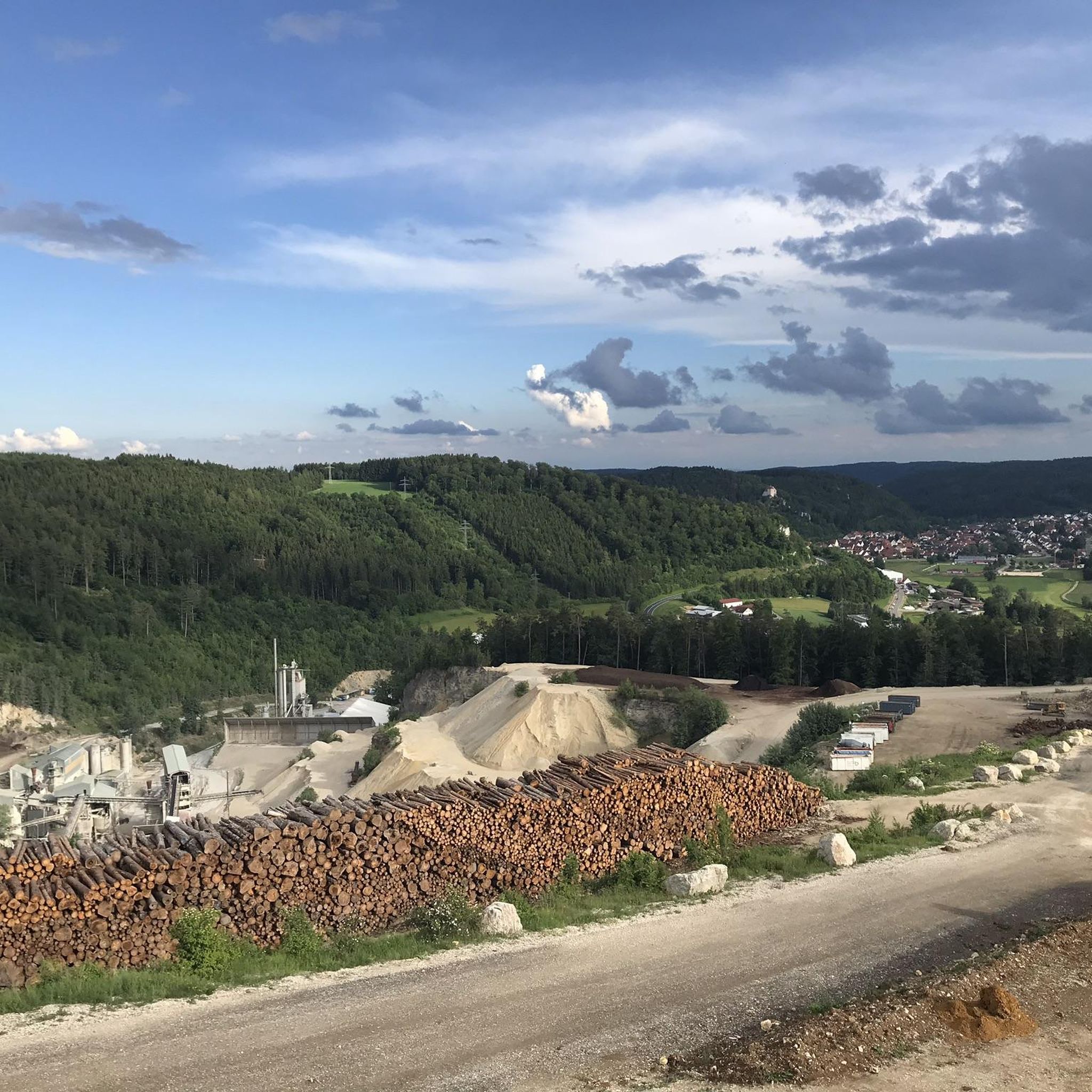
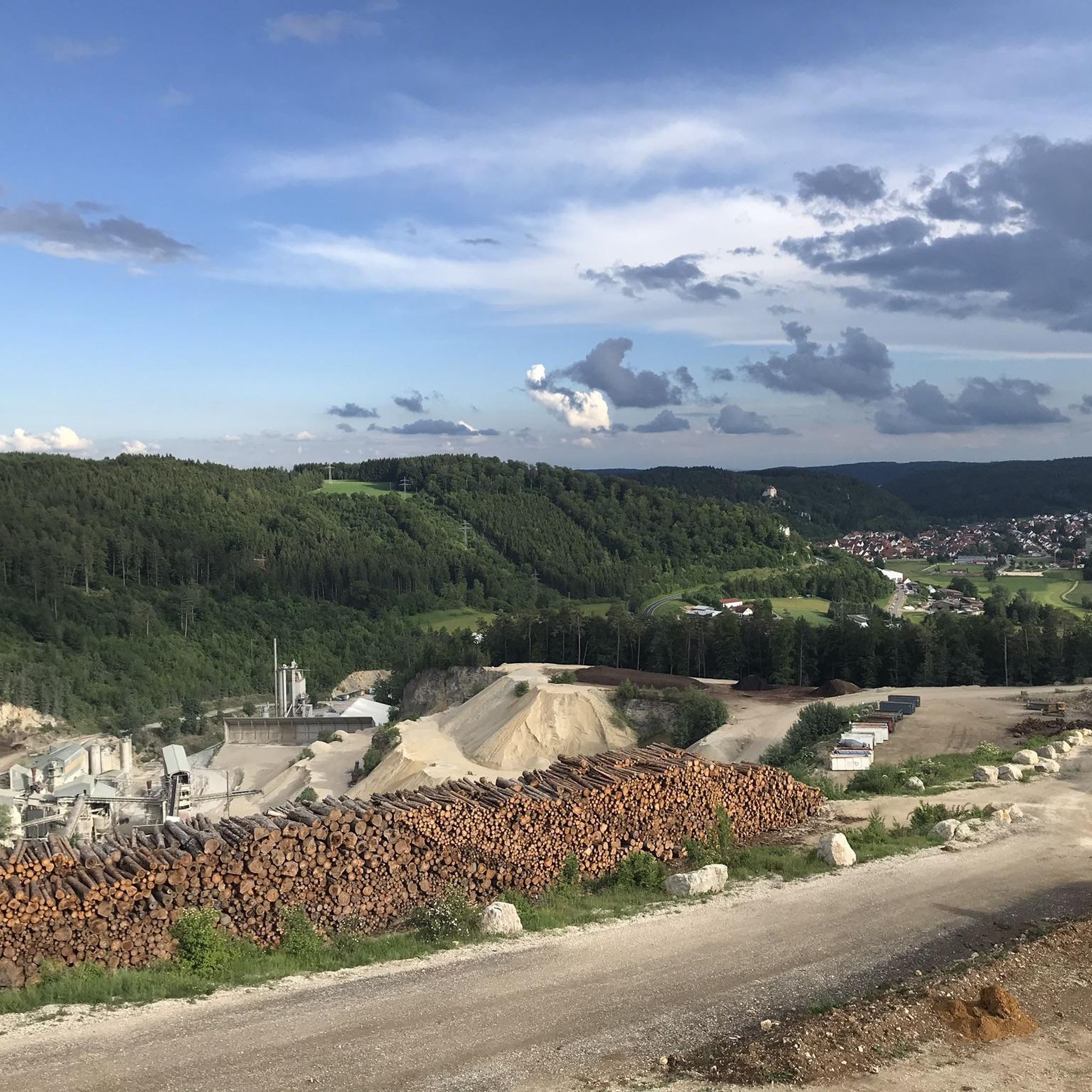
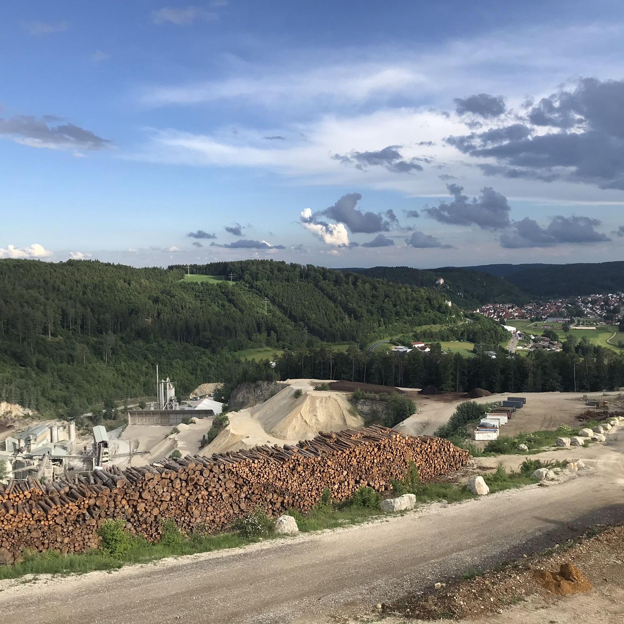
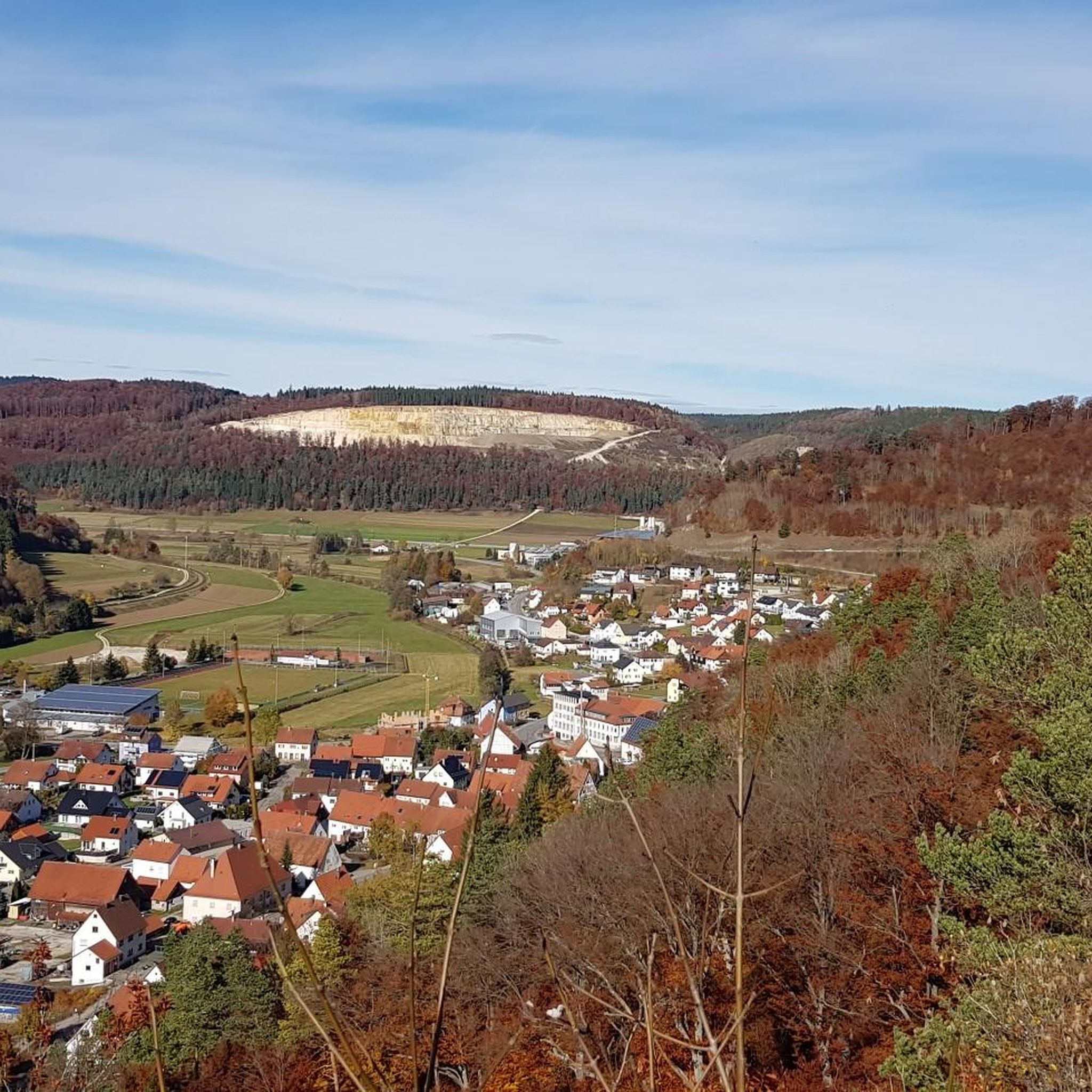
Tips from the Community

Werenwag Castle sits high above the Danube, but unfortunately it is too far away for those passing by
1
0
Great statue of St. Nepomuk
2
0
Impressive monastery complex from a distance, but not so impressive up close
1
0
Great large monastery complex, but not so impressive from close up
1
0

The Burgweg leads upwards from the old town. At the crest of the mountain spur, a signposted footpath branches off to the left, leading down to the Göpfelstein Cave. An information board is located at the cave entrance. The cave is freely accessible. The Göpfelstein Cave is located at an elevation of 660 m above sea level at the western exit of Veringenstadt, to the right above the Lauchert River and the old town. The entrance faces south and is visible from afar, set in a massive White Jurassic rock. The cave has a spacious vestibule. Behind the vestibule lies the three-meter-wide and three-meter-high entrance to the actual cave, which leads into the interior of the rock on two levels. The upper, more spacious section of the cave is seven meters long, seven meters wide, and five meters high. The lower section has a similar floor area and a height of approximately 1.20 meters. When Neanderthals occupied the Göpfelstein Cave, the cave had only one level. Only after the last Ice Age did a false ceiling collapse, opening access to the upper cave level. 34 caves are known around Veringenstadt.
0
0
Here, the cycle path winds its way through the ensemble of buildings, and the church/chapel seems to be standing right in the middle of the cycle path, as if it wanted to say: "Look, I am your rock in the storm!"
1
0
From Tuttlingen to Sigmaringen is the most beautiful section in the upper Danube valley
1
0

The restaurant is no longer Italian, but serves "Spätzle mit Soß" (spaetzle with sauce) – delicious Swabian specialties at fair prices. One more reason to visit Degerfeld.
0
0
Frequently Asked Questions
How many road cycling routes are available around Straßberg?
There are over two dozen dedicated road cycling routes around Straßberg, offering a variety of experiences for cyclists. These routes range from moderate to difficult in terms of challenge.
What kind of terrain can I expect on road cycling routes near Straßberg?
The terrain around Straßberg is quite varied. You'll encounter picturesque hills and the foothills of the Black Forest, leading to challenging ascents. The region also includes the Danube Valley within the Upper Danube Nature Park, where the river carves through impressive rock formations, offering both dynamic climbs and some flatter sections.
Are there any long-distance road cycling routes accessible from Straßberg?
Yes, Straßberg is a great starting point or segment for longer rides. The renowned Hohenzollern Cycle Route, a long-distance path spanning approximately 272 kilometers, passes through the region. This route guides cyclists past spectacular palaces and castles within the Swabian Alb, offering panoramic views and challenging climbs. For more details, you can visit visit-bw.com.
What historical landmarks or scenic viewpoints can I see along the road cycling routes?
Many routes offer stunning views and pass by historical sites. For example, the route View of Schloss Werenwag – View of Beuron Abbey loop from Straßberg-Winterlingen provides views of historical castles and abbeys. You can also explore highlights like the View of Schloss Werenwag or the Ruins of Gebrochen Gutenstein. The region is also known for numerous lookout points, such as the one on the Hohenberg, offering breathtaking panoramic views.
Are there any family-friendly road cycling options in Straßberg?
While many routes around Straßberg feature significant elevation changes and are rated moderate to difficult, the Danube Valley in the Upper Danube Nature Park offers sections with easy-to-ride gravel paths directly along the Danube. These flatter parts might be more suitable for families, though dedicated easy road cycling routes are not predominant in the immediate Straßberg area.
What do other cyclists say about road cycling in Straßberg?
The road cycling routes in Straßberg are highly rated by the komoot community, with an average score of 4.8 stars from over 15 reviews. Cyclists often praise the varied terrain, the picturesque scenery, and the challenging ascents that provide rewarding panoramic views.
Can I find circular road cycling routes around Straßberg?
Yes, many of the road cycling routes around Straßberg are designed as loops. Examples include the popular View of Schloss Werenwag – View of Beuron Abbey loop from Straßberg-Winterlingen and the Fürstenhöhe Cycle Path – Schmeiental Valley loop from Straßberg-Winterlingen, allowing you to start and end your ride in the same location.
What is the best time of year for road cycling in Straßberg?
The region offers diverse natural beauty throughout the year. While specific weather conditions vary, spring and autumn are generally ideal for road cycling, with pleasant temperatures and vibrant landscapes. Autumn, in particular, offers picturesque colors. Cyclists should be prepared for varying conditions depending on the season, as winter can bring snowy scenes to the Black Forest foothills.
Are there any specific natural features to look out for on the cycling trails?
Absolutely. The region is rich in natural beauty. You'll cycle through the Upper Danube Nature Park, experiencing the impressive rock formations of the Danube Valley where the river sometimes disappears and reappears. The Hohenzollern Cycle Route also passes through the tranquil forests of the Schönbuch Nature Park.
Are there options for advanced road cyclists seeking a challenge?
Yes, Straßberg is well-suited for advanced road cyclists. Many routes feature significant elevation gains and challenging climbs. For instance, the Sigmaringen Castle – View of Sigmaringen Castle loop from Straßberg-Winterlingen is a difficult 56.1-mile path with nearly 1000 meters of elevation gain, offering panoramic views of the Swabian Alb.
Is public transport available to reach the cycling routes in Straßberg?
While the guide focuses on the routes themselves, Straßberg is generally accessible. For detailed information on public transport options to Straßberg and how to transport bicycles, it's advisable to check local transport authority websites or regional travel planners, as services can vary.
Are there any cafes or pubs along the road cycling routes for a break?
The region is dotted with charming towns and villages. While specific cafes or pubs are not listed for every route, you will find opportunities for refreshment in the communities you pass through, especially in larger towns like Sigmaringen or those along the Hohenzollern Cycle Route. Planning your route with komoot allows you to identify potential stops.
Most popular routes around Straßberg
Most popular attractions around Straßberg

Get inspired with the komoot mobile app


Explore more
Browse the best Road cycling routes in other regions.
