The best road cycling routes around Straßkirchen
4.6
(558)
8,919
riders
47
rides
Road cycling around Straßkirchen offers a network of routes traversing the Lower Bavarian landscape. The region features a mix of flat river plains and gently rolling hills, providing varied terrain for cyclists. Routes often connect historical towns and offer views of local landmarks and the surrounding countryside. The area is characterized by open fields, agricultural land, and occasional wooded sections.
Best road cycling routes around Straßkirchen
- The most popular road cycling route is View of the Walhalla – View of…
Last updated: July 10, 2026
1.0
(1)
51
riders
Hard road ride. Very good fitness required. Some segments of this route may be unpaved and difficult to ride.
40
riders
Moderate road ride. Good fitness required. Some segments of this route may be unpaved and difficult to ride.

Sign up for free
46
riders
42.1km
01:47
150m
150m
Moderate road ride. Great for any fitness level. Some segments of this route may be unpaved and difficult to ride.
13
riders
Moderate road ride. Good fitness required. Some segments of this route may be unpaved and difficult to ride.
4.9
(7)
19
riders
Moderate road ride. Great for any fitness level. Some segments of this route may be unpaved and difficult to ride.
Get access to more routes and recommendations from other explorers.
Sign up for free
Already have an account?
Our route recommendations are based on thousands of hikes, rides, and runs completed by other people on komoot.
Start today with a free account
Your next adventure awaits.
Login or Signup
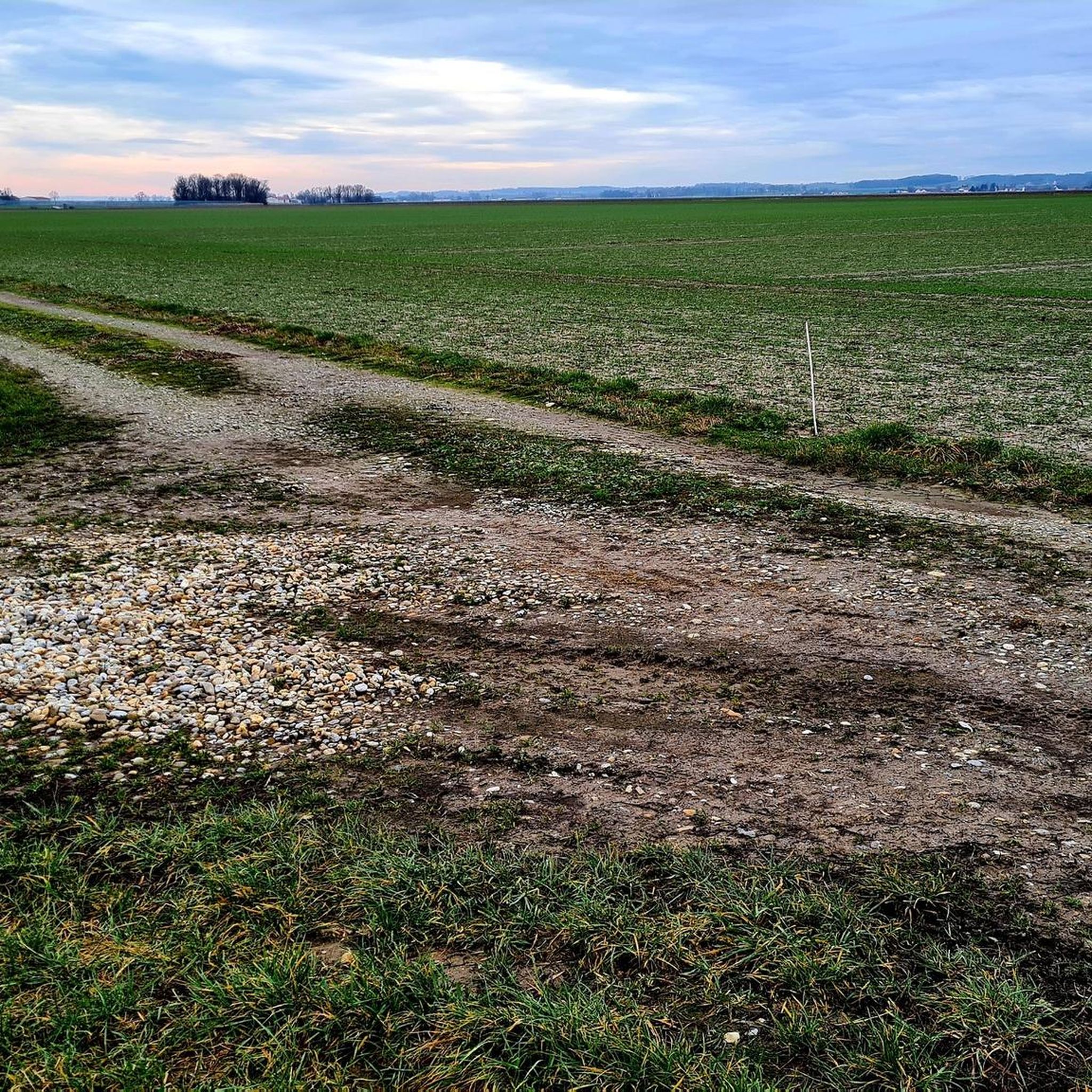
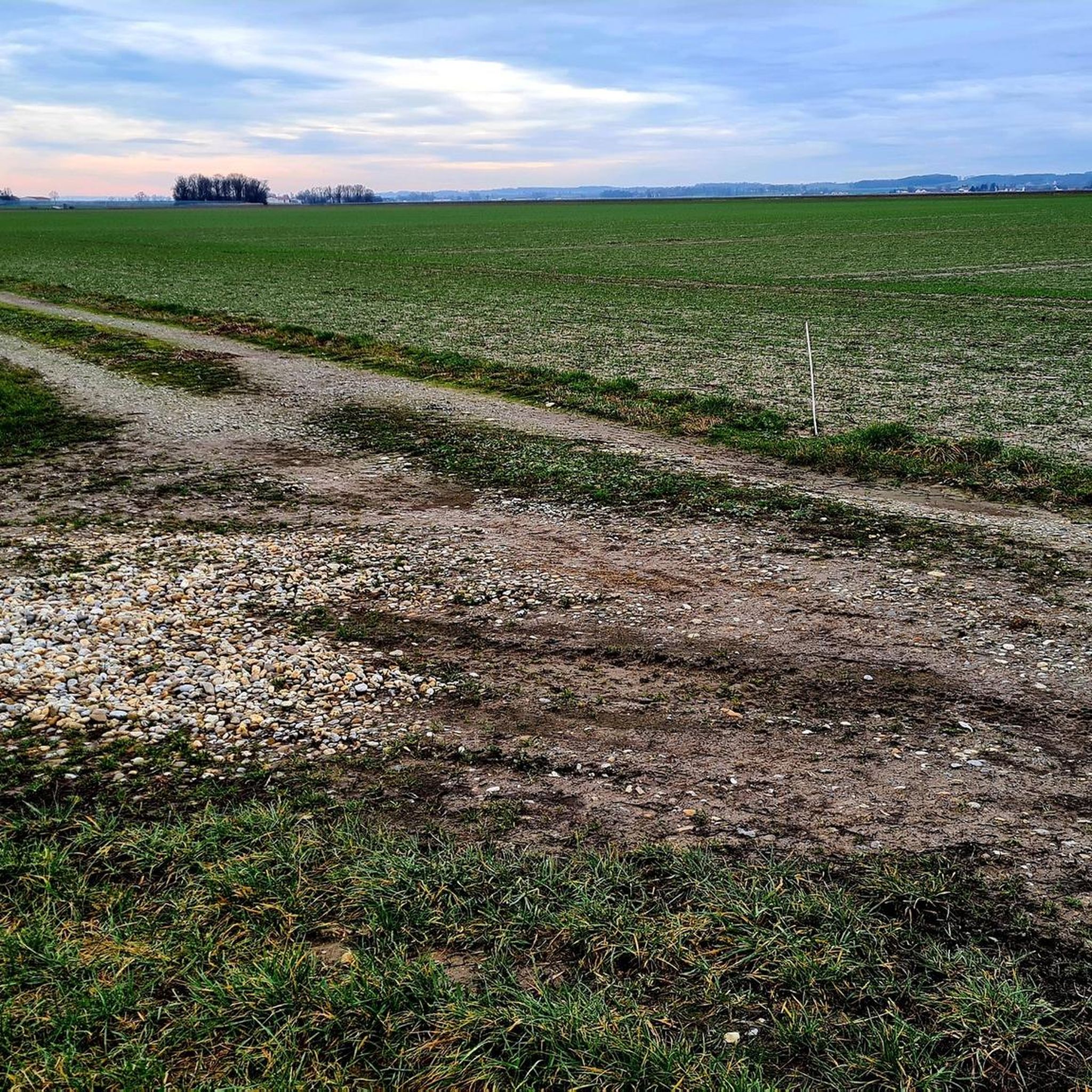
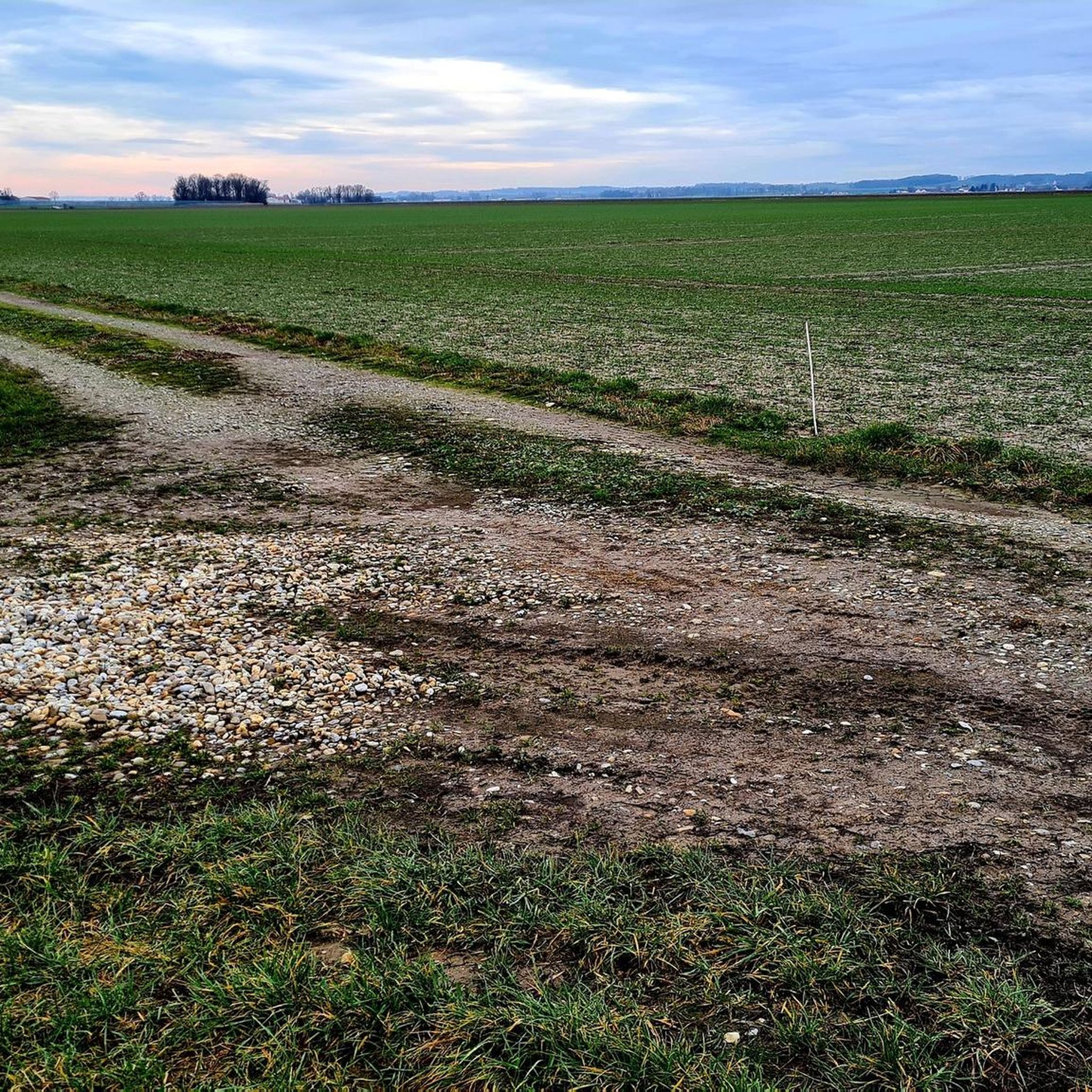

Tips from the Community

gives some nice spots on the Danube to linger
0
0

The Jesuit Church "Assumption of Mary" in Straubing is a true jewel of the Bavarian Baroque, which often stands in the shadow of the great Basilica of St. Jakob, but is architecturally absolutely impressive.
0
0
The Bogenberg, often called the „Holy Mountain of Lower Bavaria“, is much more than just an elevation on the Danube. It is a historically significant pilgrimage site, an important natural monument, and the „cradle“ of one of the most famous Bavarian symbols. After the family line died out in 1242, their possessions and coat of arms passed to the Wittelsbachs. Thus, the lozenge coat of arms of Bogen became the Bavarian state symbol. You can learn more at the Kreismuseum Bogenberg, which is located directly on the mountain.
0
0

Currently a construction site, you have to push your bike.
0
0

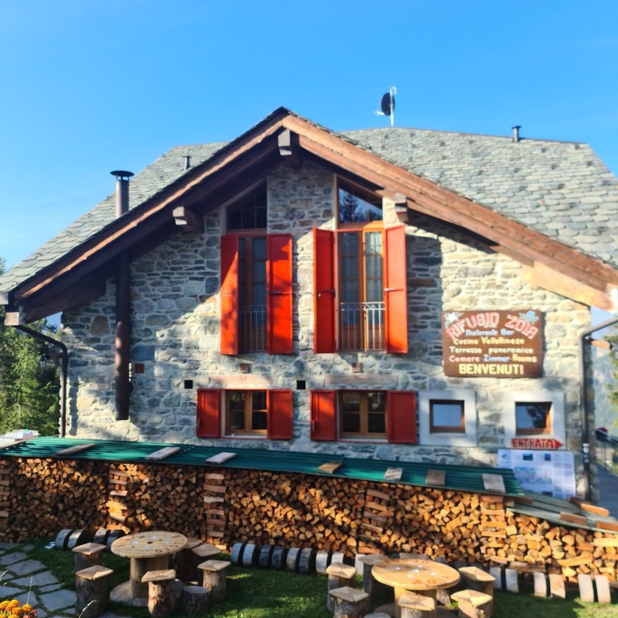
There are still decent restaurants here.
4
0
A nice big place and clean.
4
1

the track to try out - there's nothing comparable in the area ;-)
0
0
Frequently Asked Questions
How many road cycling routes are available around Straßkirchen?
There are over 50 road cycling routes available around Straßkirchen on komoot, catering to various skill levels and preferences. These routes explore the diverse Lower Bavarian landscape.
Are there easy road cycling routes suitable for beginners in Straßkirchen?
Yes, Straßkirchen offers several easy road cycling routes perfect for beginners or those seeking a relaxed ride. One example is the St. Michael Church, Ainbrach – View of Bogenberg loop from Straßkirchen, which is approximately 18 miles (29 km) long and features minimal elevation gain.
What are some options for advanced road cyclists looking for a challenge?
For advanced road cyclists, Straßkirchen provides challenging routes with significant elevation gain. The View of the Walhalla – View of Regensburg Cathedral loop from Straßkirchen is a difficult route spanning over 163 miles (263 km) and connecting prominent historical sites, offering a substantial endurance test.
Are there any family-friendly road cycling routes in the area?
While specific 'family-friendly' routes are not explicitly categorized, many of the moderate and easy routes in Straßkirchen, particularly those on flatter river plains, can be suitable for families with older children. The region's agricultural roads often provide a safe environment away from heavy traffic.
What kind of scenery can I expect on road cycling routes around Straßkirchen?
Road cycling routes around Straßkirchen offer a mix of scenery, including flat river plains, gently rolling hills, and expansive agricultural landscapes. You'll often pass through open fields, occasional wooded sections, and connect historical towns, providing views of local landmarks and the surrounding countryside.
What are some notable landmarks or attractions I can see along the routes?
Many routes pass by interesting landmarks. You might encounter historical sites like the Ducal Castle Straubing 🏰, the Straubing Market Square, or the Bogenberg ⛪. The Ducal Castle Straubing 🏰 – Straubing Water Tower loop from Straßkirchen is a great option to explore urban landmarks.
Are there circular road cycling routes available around Straßkirchen?
Yes, many of the road cycling routes around Straßkirchen are designed as loops, allowing you to start and end at the same point. Examples include the St. Rupert's Church, Altenbuch – Niederpöring Velodrome loop from Straßkirchen and the Straubing City Tower – Theresienplatz, Straubing loop from Straßkirchen.
What is the best time of year for road cycling in Straßkirchen?
The best time for road cycling in Straßkirchen is typically from spring to autumn (April to October). During these months, the weather is generally mild, and the landscapes are vibrant. Summer offers longer daylight hours, while spring and autumn provide cooler temperatures ideal for longer rides.
Are there routes that include opportunities for cafe stops or refreshments?
Many routes in Straßkirchen pass through or near towns and villages where you can find cafes, bakeries, and restaurants for refreshments. Routes that connect historical towns like Straubing are particularly good for finding places to stop and refuel.
What do other road cyclists enjoy most about cycling in Straßkirchen?
The road cycling routes in Straßkirchen are highly rated by the komoot community, with an average score of 4.5 stars from over 16 reviews. Cyclists often praise the varied terrain, from flat river plains to rolling hills, and the opportunity to explore historical towns and scenic agricultural landscapes.
Are there options for parking at the start of road cycling routes?
Parking options are generally available in and around Straßkirchen, especially in town centers or designated parking areas. For routes starting directly from Straßkirchen, you can usually find public parking. It's advisable to check specific starting points for detailed parking information.
Can I access road cycling routes in Straßkirchen using public transport?
Straßkirchen is connected by public transport, primarily buses, which can help you reach the starting points of various routes. For longer distances or connecting to major hubs like Straubing, train services are also available, often allowing bicycle transport during off-peak hours. Always check local transport schedules and bike policies in advance.
Most popular routes around Straßkirchen
Most popular attractions around Straßkirchen

Get inspired with the komoot mobile app


Explore more
Browse the best Road cycling routes in other regions.
