The best walks and hikes around Alpago
4.4
(1209)
6,242
hikers
188
hikes
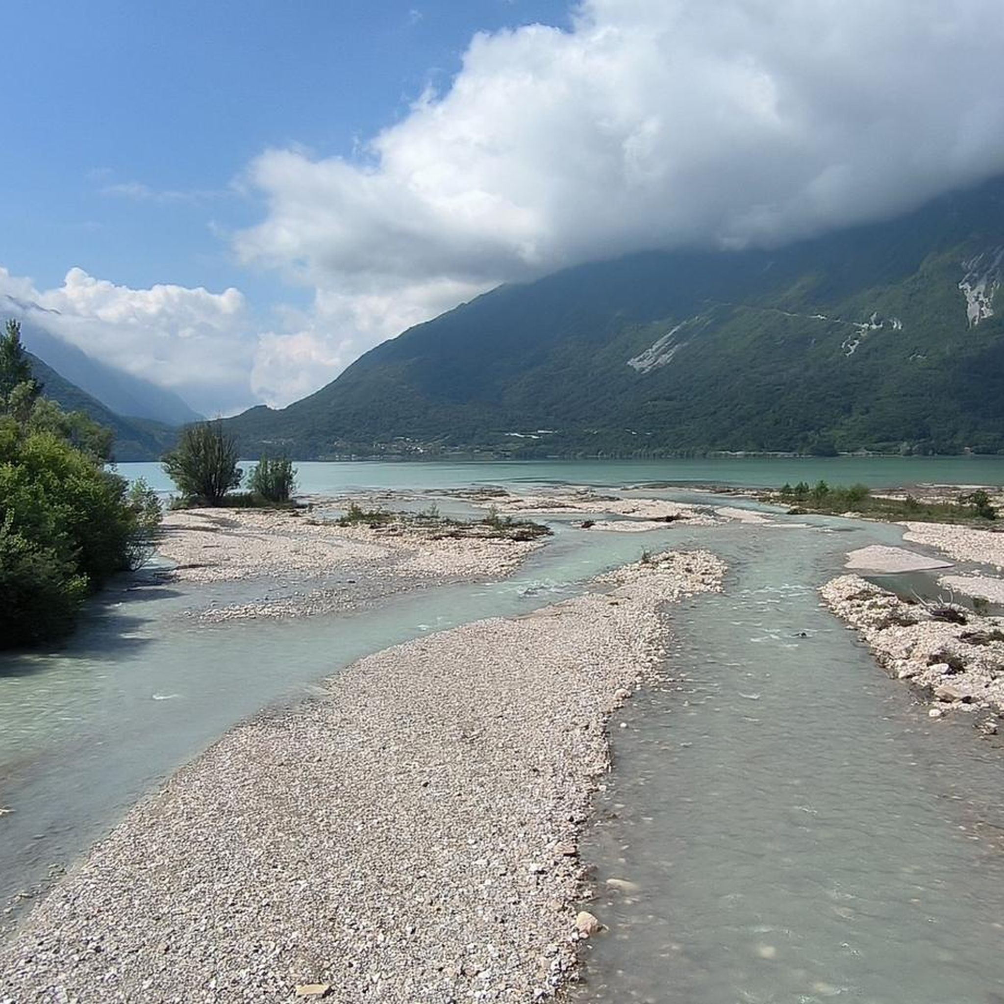
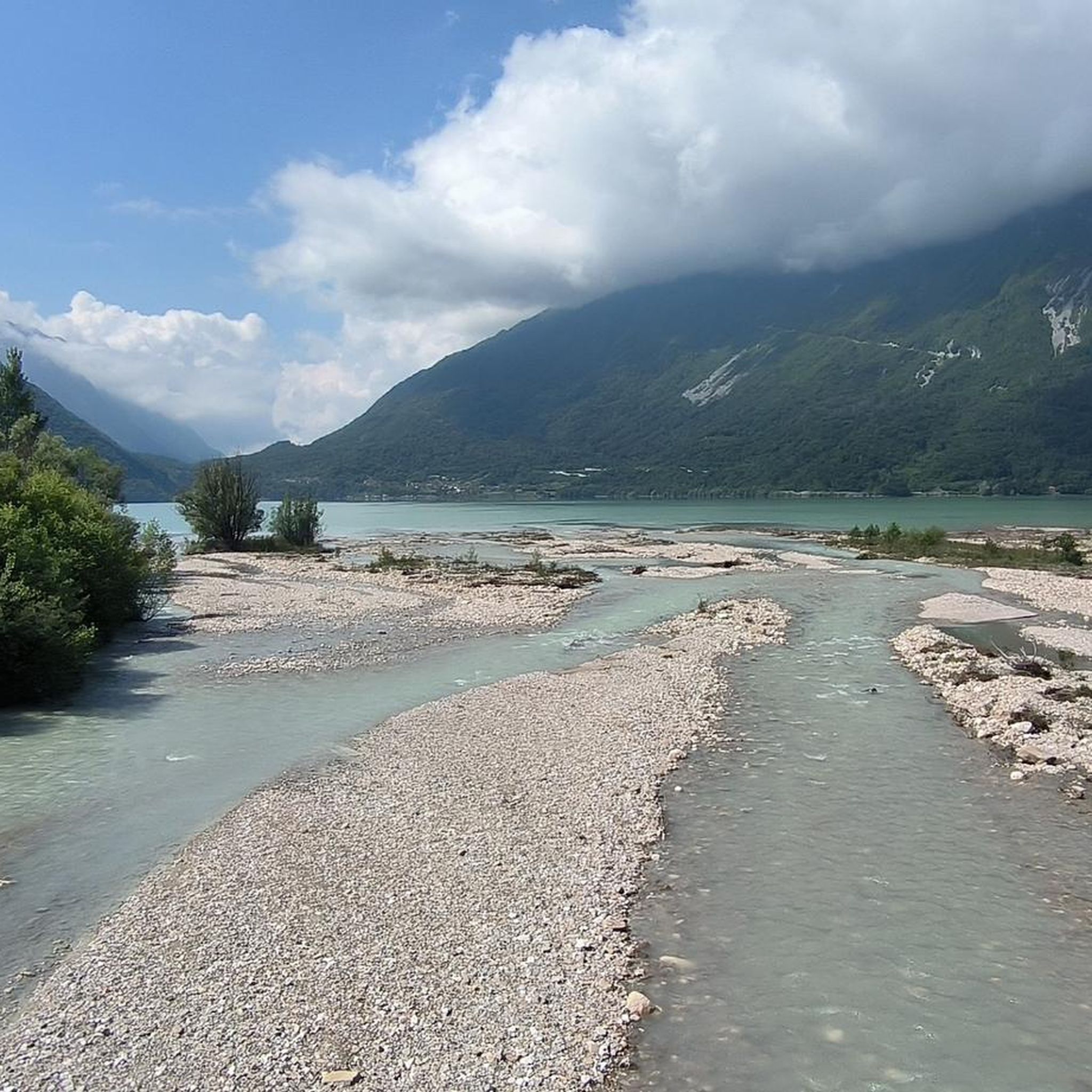
Hiking around Alpago offers a diverse range of landscapes, characterized by mountains, a large natural lake, and expansive forests. The region is an open natural basin, crossed by the Tesa river valley, with prominent features like Lago di Santa Croce and the Cansiglio Forest. Surrounding hills and mountains, including Monte Cavallo and Col Nudo, provide varied terrain for outdoor activities.
Best hiking trails around Alpago
- The most popular hiking route is Rifugio Vallorch — ring tour, a 2.1 miles (3.4 km) trail that takes 57 minutes to complete. This moderate route explores the forest surroundings near the Rifugio.
- Another top favourite among local hikers is Dolomites High Route 7 - Stage 1, a difficult 4.7 miles (7.6 km) path. This section of the long-distance trail features significant elevation gain and exposed ridge terrain.
- Local hikers also love the Monte and Rifugio Dolada, a 9.8 miles (15.7 km) trail leading through varied mountain landscapes, often completed in about 6 hours 13 minutes.
- Hiking around Alpago is defined by mountain peaks, dense forests, and the shores of Lago di Santa Croce. The network offers options for easy walks around the lake to challenging multi-day treks in the mountains.
- The routes in Alpago are highly rated by the komoot community with an average score of 4.4 stars from over 1000 reviews. More than 5500 hikers have used komoot to explore Alpago's varied terrain.
Last updated: July 7, 2026
5.0
(3)
25
hikers
7.57km
03:41
600m
600m
Hike the difficult 4.7-mile Dolomites High Route 7 - Stage 1, gaining 1974 feet through remote, exposed ridge terrain.
5.0
(1)
11
hikers
15.7km
06:14
940m
940m
Hard hike. Very good fitness required. Sure-footedness, sturdy shoes and alpine experience required.

Sign up for free
3.40km
00:57
70m
70m
Moderate hike. Great for any fitness level. Mostly accessible paths. Sure-footedness required.
3.0
(1)
9
hikers
13.9km
07:23
1,250m
1,250m
Hike the challenging Dolomites High Route 7 - Stage 1, covering 8.6 miles (13.9 km) with 4087 feet (1246 metres) of elevation gain.
5.0
(1)
3
hikers
5.46km
02:07
400m
400m
Hike the Alpago Nature Trail to Madonna del Runal Sanctuary (Route E1), a moderate 3.4-mile route with 1322 feet of gain and scenic views.
Get access to more routes and recommendations from other explorers.
Sign up for free
Already have an account?
Our route recommendations are based on thousands of hikes, rides, and runs completed by other people on komoot.
Start today with a free account
Your next adventure awaits.
Login or Signup
Popular around Alpago
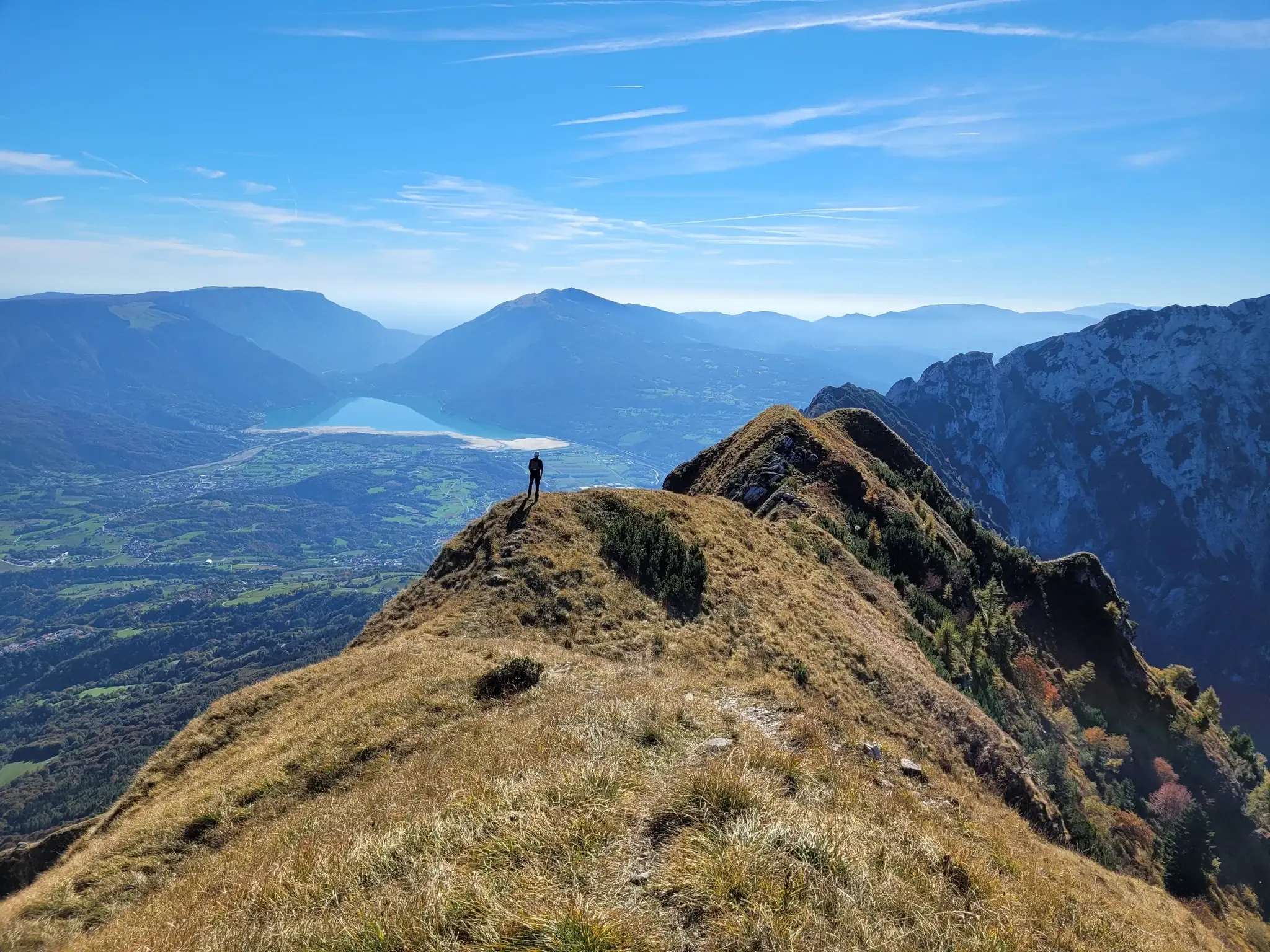
A fairytale hike in Italy’s Pale Mountains – Alta Via delle Dolomiti 7

A trail running adventure in the Dolomites – Alta Via 6

Via delle Prealpi – On the way with the MTB in the Venetian Prealps
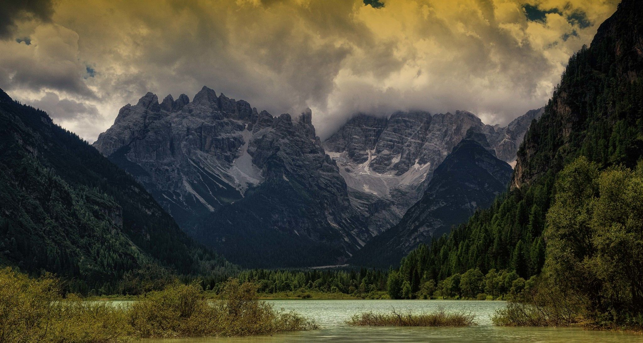
Ride across the Alps – bikepacking between Munich and Venice
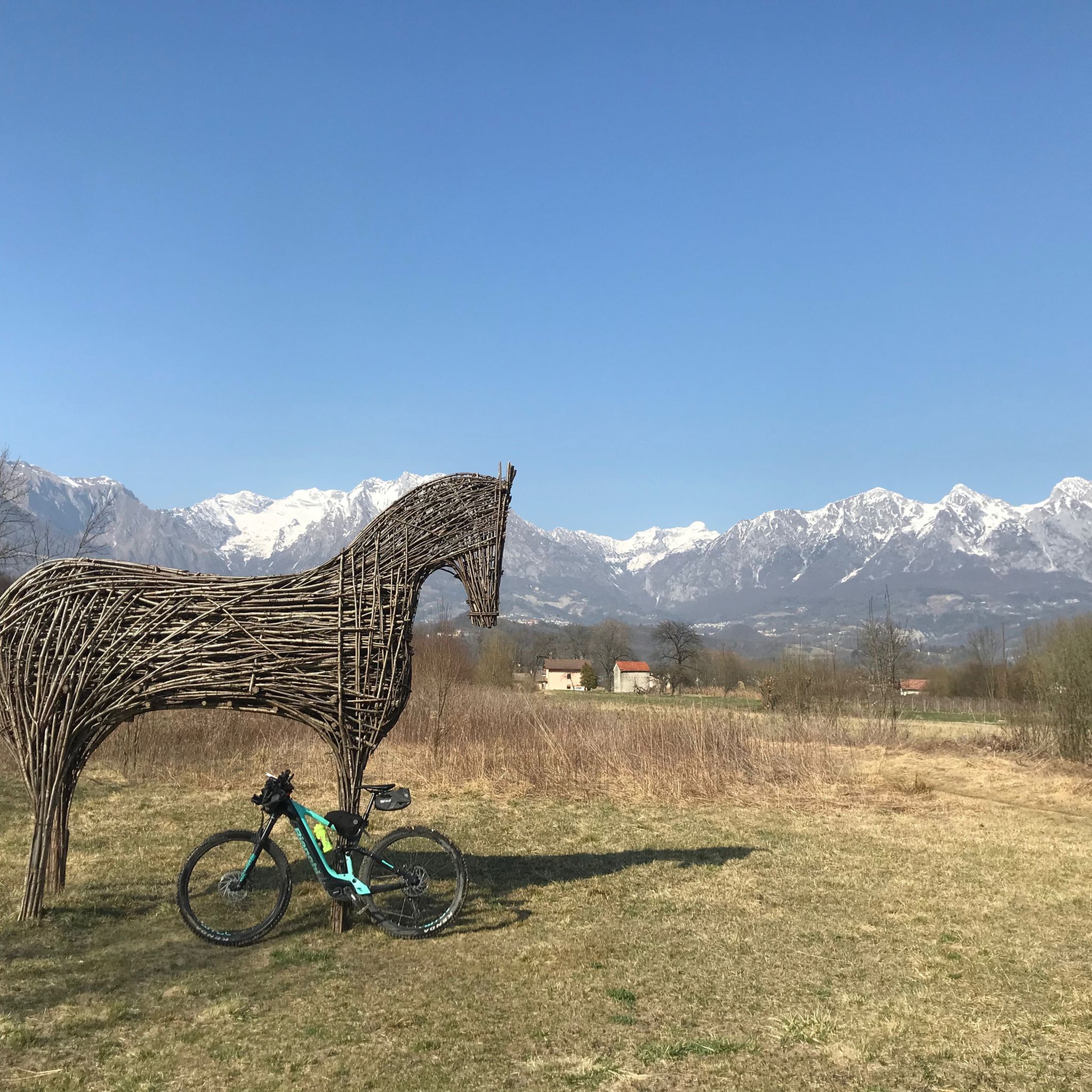
MTB Trails around Alpago
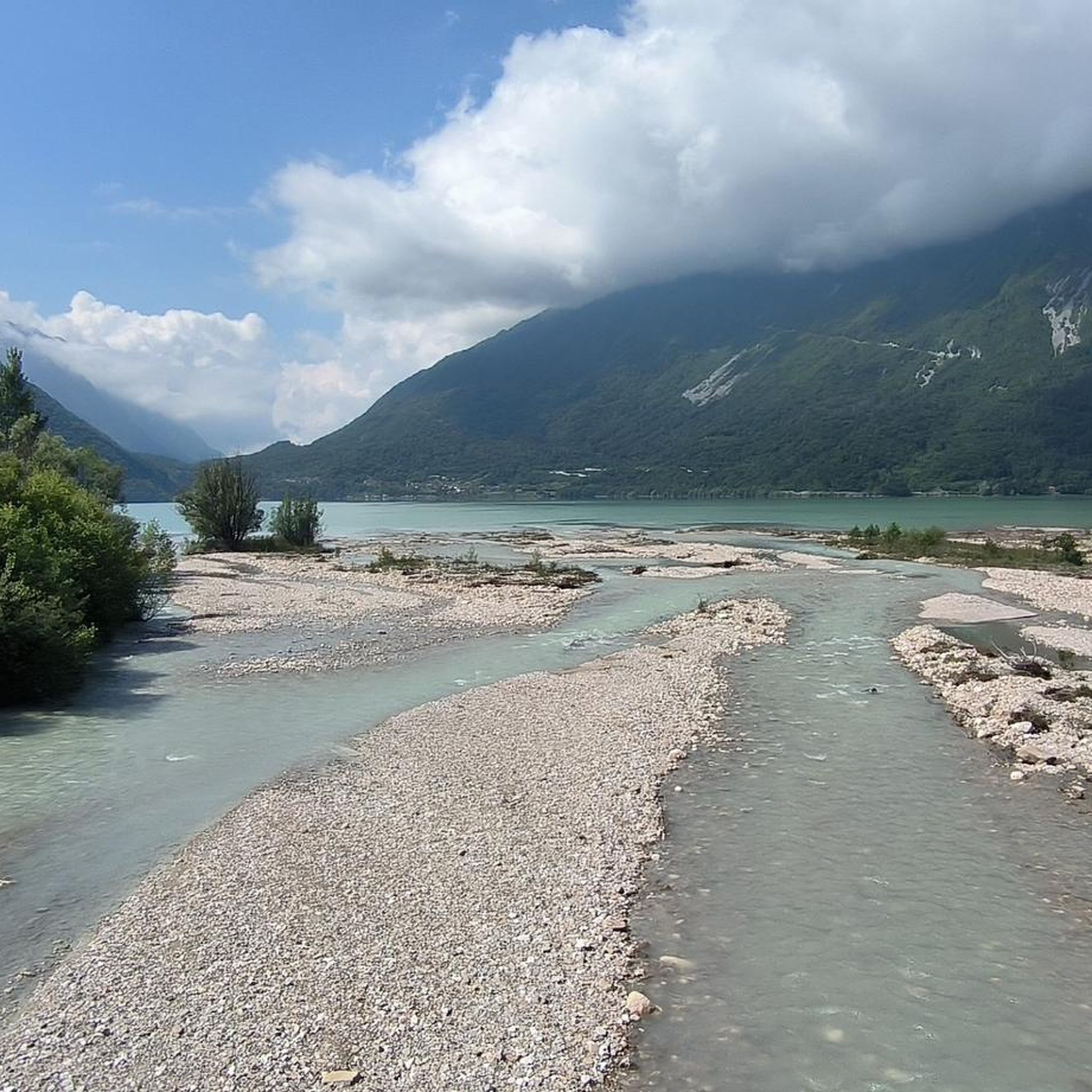
Cycling around Alpago
Running Trails around Alpago
Gravel biking around Alpago
Road Cycling Routes around Alpago

Mountain Hikes around Alpago
Other adventures around Alpago


Tips from the Community

Beautiful hike, took 1:53h total. We parked next to the refugio which as enough spots on a not to busy day. We make a little video to showcase the hike and surrounding areas. https://youtu.be/JXDCoRiF-68?si=arGbjqrZyMFLQ3dU
0
0
Beautiful hike, took 1:53h total. We parked next to the refugio which as enough spots on a not to busy day. We make a little video to showcase the hike and surrounding areas. https://youtu.be/JXDCoRiF-68?si=arGbjqrZyMFLQ3dU
0
0

The Valbona pass is a pass located at 2,130 meters above sea level, along the Col Nudo e Cavallo chain, which connects the Chialedina valley, in Friuli-Venezia Giulia, with the Venál di Montanès, in Veneto. From here, it is possible to go up up to the ridge that joins the Lastei peak to Col Nudo, although the ridge itself may present some technical difficulties. Near the pass, the Col Nudo shelter offers a quite welcoming refuge for rest and shelter.
1
0

The Dolada refuge is located at 1,492 meters above sea level in a panoramic position on the surrounding Dolomite rocks. The refuge has a restaurant and beds, in high season it is always better to book in advance. It is the starting point for the Alta via delle Dolomiti n°7 and not far from the refuge there is the Palestra di Roccia, a south-facing crag, and Lake Santa Croce, a kite surfing paradise.
3
0
The Valbona pass is a pass located at 2,130 meters above sea level, along the Col Nudo e Cavallo chain, which connects the Chialedina valley, in Friuli-Venezia Giulia, with the Venál di Montanès, in Veneto. From here, it is possible to climb up to the ridge that joins the Lastei peak to Col Nudo, although the ridge itself may present some technical difficulties. Near the pass, the Col Nudo shelter offers a quite welcoming refuge for rest and shelter.
2
0

Mount Dolada is an alpine relief included in the Belluno pre-Alps. It reaches 1,938 m a.s.l. It represents the western end of the Col Nudo chain and is lapped by the Piave to the west. To the north lies the Val Gallina, while the Alpago extends to the southeast. Source: https://it.wikipedia.org/wiki/Monte_Dolada
0
0


Panorma from the Dolada refuge
1
0
Frequently Asked Questions
How many hiking trails are available in Alpago?
Alpago offers a wide variety of hiking experiences, with over 180 routes recorded on komoot. These trails range from easy walks around the lake to challenging multi-day treks in the mountains.
What kind of hiking difficulty can I expect in Alpago?
The trails in Alpago cater to all skill levels. You'll find approximately 45 easy routes, 100 moderate trails, and 35 difficult paths, ensuring there's an adventure for everyone, from casual walkers to experienced mountaineers.
Are there easy or family-friendly hiking trails in Alpago?
Yes, Alpago has numerous easy and family-friendly options. The area around Lago di Santa Croce is ideal for gentle walks, such as the Wetlands Nature Trail, which explores diverse habitats. The Cansiglio Forest also offers tranquil paths suitable for families.
What are some notable natural attractions to see while hiking in Alpago?
Alpago is rich in natural beauty. You can explore the expansive Lago di Santa Croce, the second-biggest lake in Veneto, or wander through the ancient Cansiglio Forest with its beech and fir trees. Other highlights include Lake Morto and the Gorgazzo Spring.
Are there any mountain refuges or huts along the hiking routes?
Yes, several rewarding hikes lead to mountain refuges. For example, you can hike to Rifugio Vallorch, Monte Dolada, or Rifugio Semenza. The Col Visentin Hut is also reachable by foot and offers panoramic views of the Belluno and Treviso mountains.
Can I find circular hiking routes in Alpago?
Yes, Alpago offers several circular routes. An example is the Rifugio Vallorch — ring tour, a moderate 2.1-mile (3.4 km) trail that explores the forest surroundings near the refuge.
What is the best time of year to go hiking in Alpago?
Alpago offers different experiences throughout the year. Spring and autumn provide pleasant temperatures and vibrant scenery. Summer is ideal for higher-altitude treks. In winter, the Cansiglio Forest transforms into a serene landscape perfect for snow hiking, with areas like Col Indes and Malga Cate being particularly recommended.
Are there any challenging multi-day hikes in the Alpago region?
For experienced hikers, sections of the Dolomites High Route 7 pass through Alpago. For instance, Dolomites High Route 7 - Stage 1 is a difficult 4.7-mile (7.6 km) path featuring significant elevation gain and exposed ridge terrain.
What do other hikers enjoy most about hiking in Alpago?
The komoot community highly rates Alpago, with an average score of 4.4 stars from over 1000 reviews. Hikers often praise the diverse landscapes, from the tranquil lake shores to the majestic mountain peaks and dense forests, as well as the well-maintained network of trails.
Are there opportunities for water activities after a hike in Alpago?
Yes, Lago di Santa Croce is a central feature of Alpago and offers opportunities for water sports like kitesurfing and windsurfing due to its geothermal winds. It's a great spot to relax by the water after a day on the trails.
Where can I find information about the region's history and traditions while hiking?
Several trails are designed to showcase Alpago's history. The Tessina Landslip Geo-morphological Trail offers insights into the region's geological past, while the Archaeological Trail in Pieve d'Alpago leads to ancient necropolises, revealing Iron Age and Roman settlements.
Most popular routes around Alpago
Most popular attractions around Alpago

Get inspired with the komoot mobile app


Explore more
Browse the best Hikes in other regions.
