The best walks and hikes around Sagron Mis
4.5
(1882)
10,584
hikers
13
hikes
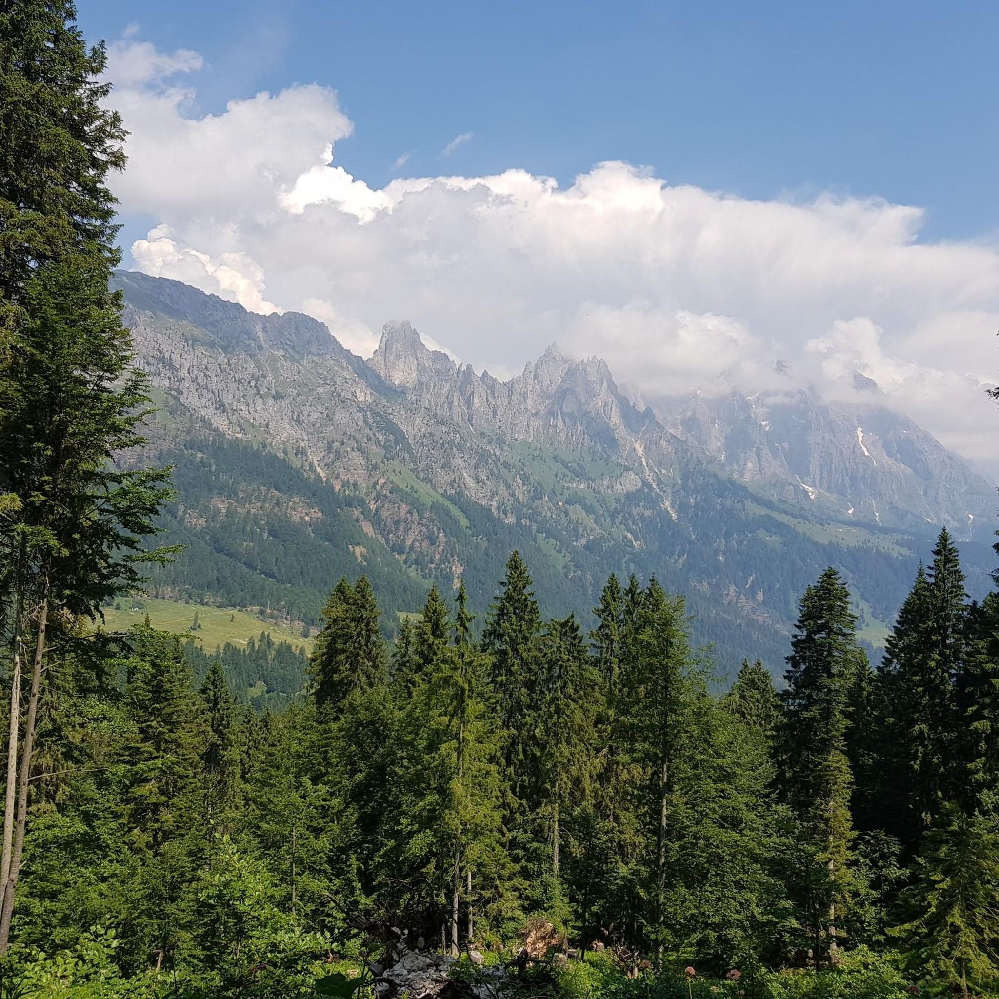
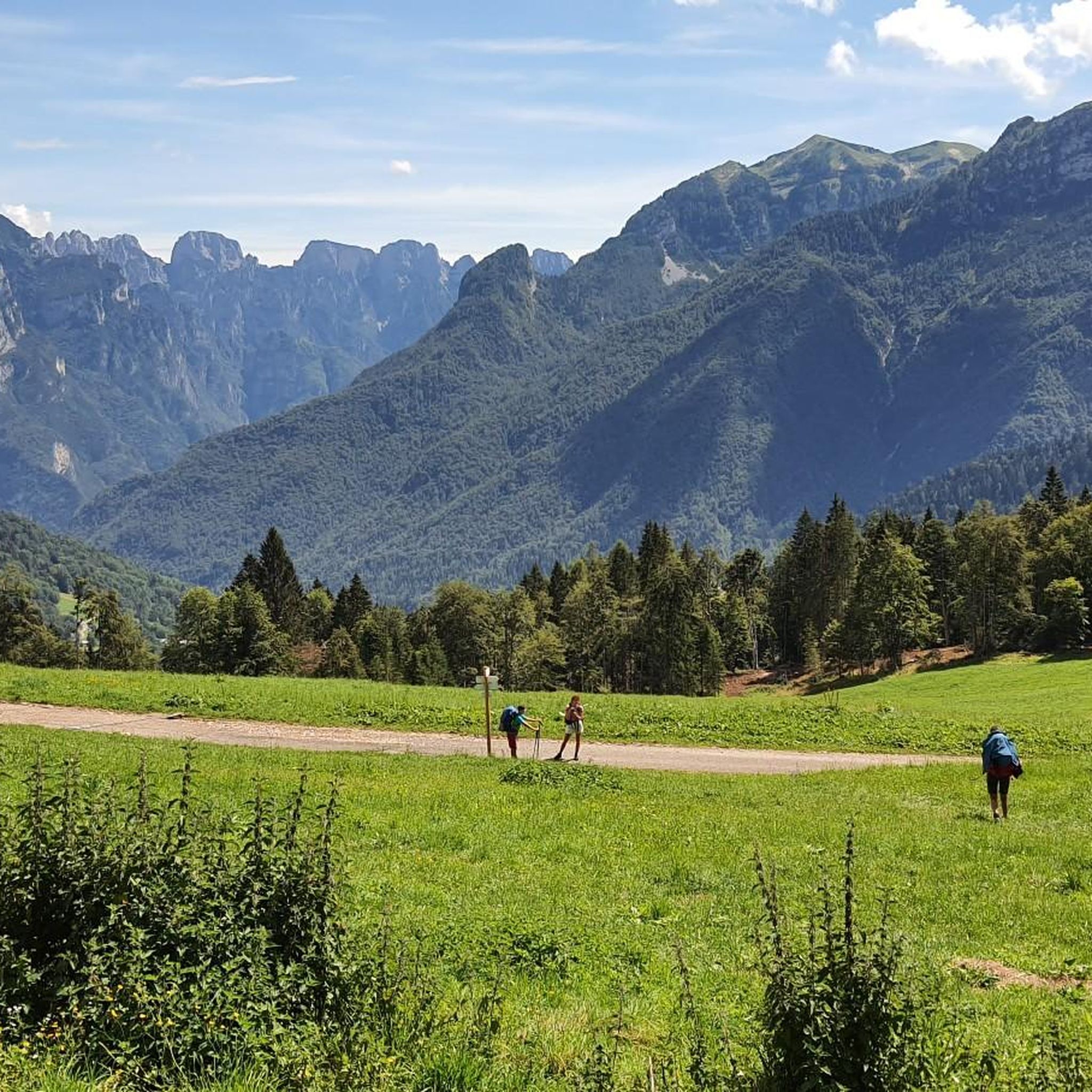
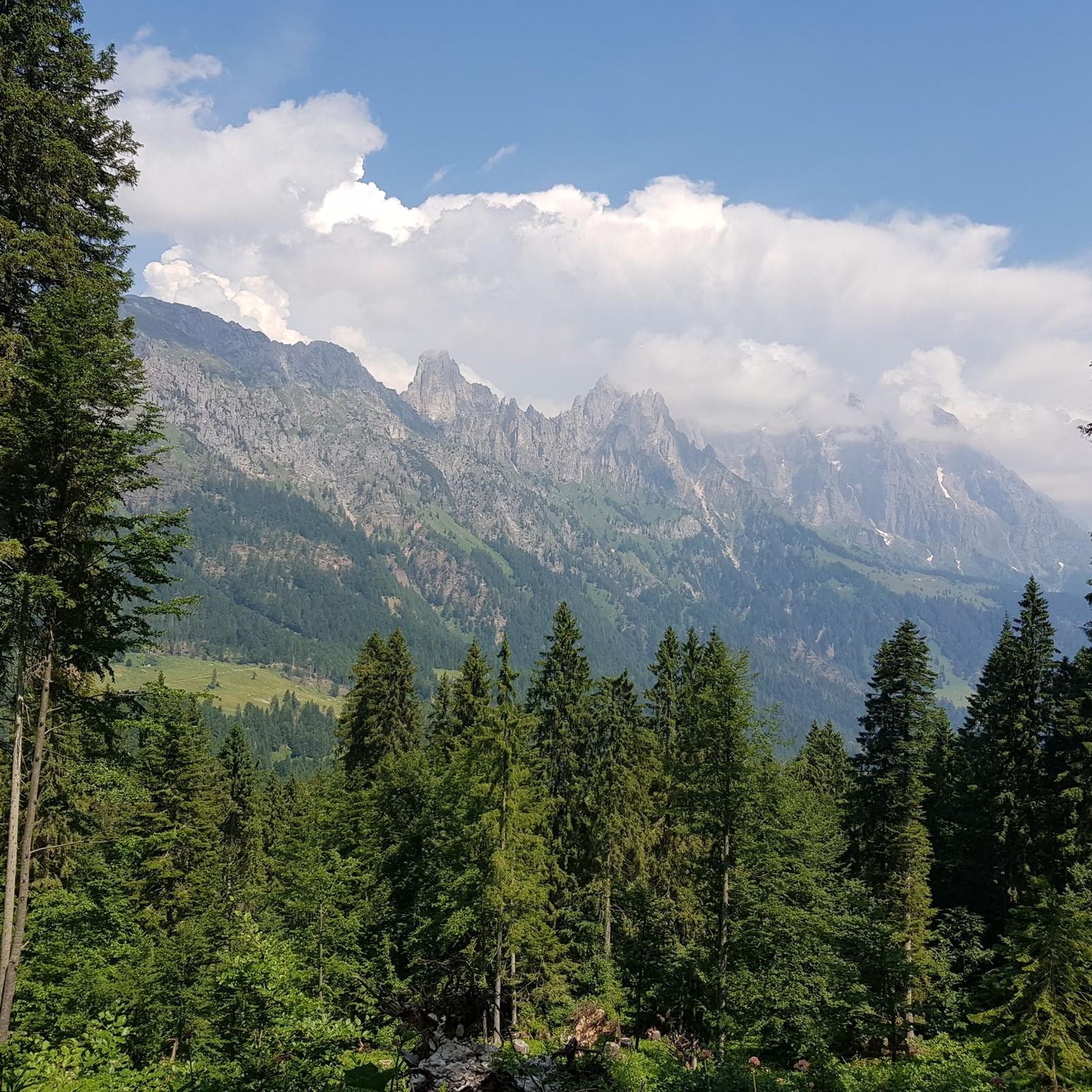
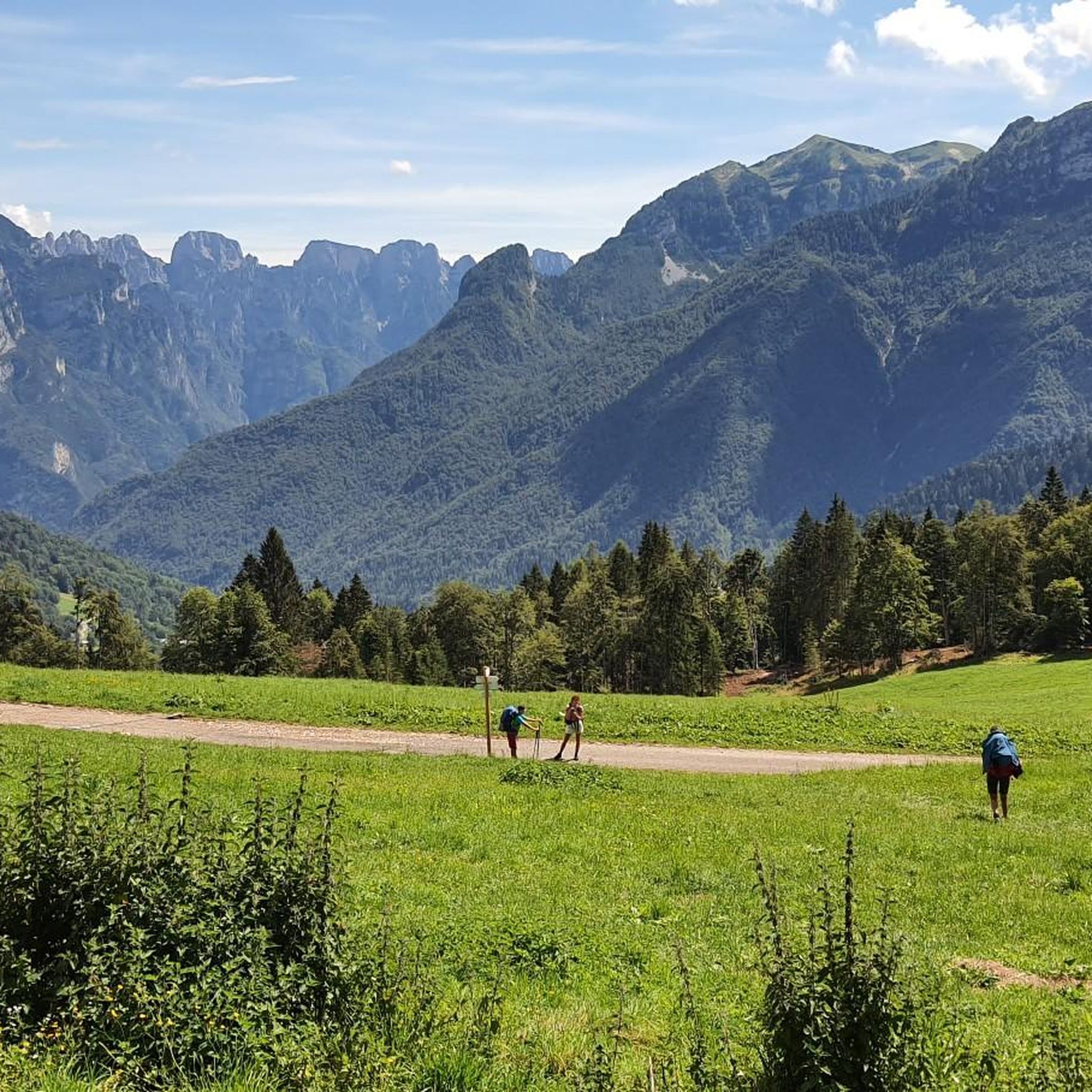
Hiking around Sagron Mis provides access to the Dolomiti UNESCO World Heritage site, situated between the Pale di San Martino and Cimonega Group. The region is characterized by rugged Dolomite peaks, including Piz de Sagron, and deep valleys like Valle del Mis. It is bordered by the Paneveggio-Pale di San Martino Nature Park and the Dolomiti Bellunesi National Park, offering diverse natural environments.
Best hiking trails around Sagron Mis
- The most popular hiking route is Intertwining of Time Trail, a 4.3 miles (6.9 km) trail that takes 2 hours 12 minutes to complete. This moderate route explores the region's historical human activities.
- Another top favourite among local hikers is Val de le Moneghe Waterfall – Chanterelle Mushroom loop from Sagron Mis, a moderate 5.7 miles (9.1 km) path. This trail features a waterfall and passes through varied forest scenery.
- Local hikers also love the Palughet Pass – Canalone Trail loop from Sagron Mis, a 6.9 miles (11.1 km) trail leading through mountain passes and challenging terrain, often completed in about 5 hours 8 minutes.
- Hiking around Sagron Mis is defined by Dolomite peaks, deep valleys, and protected national park landscapes. The network offers options for easy, moderate, and difficult ability levels.
- The routes in Sagron Mis are highly rated by the komoot community with an average score of 4.6 stars from over 1700 reviews. More than 9600 hikers have used komoot to explore Sagron Mis's varied terrain.
Last updated: July 7, 2026
6.86km
02:13
280m
280m
Moderate hike. Good fitness required. Easily-accessible paths. Suitable for all skill levels.
4.7
(18)
80
hikers
Moderate hike. Good fitness required. Easily-accessible paths. Suitable for all skill levels.

Sign up for free
4.6
(5)
11
hikers
11.8km
05:20
1,030m
1,030m
Hard hike. Very good fitness required. Sure-footedness, sturdy shoes and alpine experience required.
5.0
(3)
14
hikers
4.04km
01:23
220m
220m
Easy hike. Great for any fitness level. Easily-accessible paths. Suitable for all skill levels.
4.8
(6)
8
hikers
4.82km
01:42
260m
260m
Moderate hike. Great for any fitness level. Mostly accessible paths. Sure-footedness required.
Get access to more routes and recommendations from other explorers.
Sign up for free
Already have an account?
Our route recommendations are based on thousands of hikes, rides, and runs completed by other people on komoot.
Start today with a free account
Your next adventure awaits.
Login or Signup

Tips from the Community


splendid mountain hut reachable with a challenging climb from the Cereda pass,
0
0

It can be reached via a comfortable winding road about half an hour from the Cereda pass
0
0

The hut, with the nearby fountain and a few benches, is the ideal place for a short break in front of the walls of the Cimonega Group.
0
0

To reach the waterfall near Val de le Moneghe, you have to carefully climb up the stream bed. In winter it is a destination for ice climbers
0
0
it can be reached from Sagron with a comfortable climb on an asphalt road
0
0
Frequently Asked Questions
How many hiking trails are available around Sagron Mis?
Sagron Mis offers a diverse network of over 10 hiking trails, catering to various skill levels. You'll find options ranging from easy strolls to challenging mountain ascents, all set within the stunning Dolomite landscape.
Are there any easy hiking trails suitable for beginners or families in Sagron Mis?
Yes, Sagron Mis has easy trails perfect for beginners or families. An excellent option is the Chanterelle Mushroom – Dolomites loop from Sagron, which is approximately 4 km long and offers a gentle introduction to the area's beauty.
Can I find circular hiking routes in Sagron Mis?
Many of the trails in Sagron Mis are designed as loops, allowing you to start and end in the same location. For example, the Intertwining of Time Trail is a 6.9 km loop that explores the region's historical activities.
Are there any hiking trails with waterfalls in Sagron Mis?
Yes, you can discover beautiful waterfalls on the trails around Sagron Mis. The Val de le Moneghe Waterfall – Chanterelle Mushroom loop from Sagron Mis is a moderate route that features a picturesque waterfall and varied forest scenery. Additionally, the nearby Cadin del Brent Waterfall and Soffia Gorge and Waterfall are notable natural attractions.
What kind of natural attractions or landmarks can I expect to see while hiking in Sagron Mis?
Sagron Mis is rich in natural beauty. You can explore deep valleys like the wild Valle del Mis, admire the rugged Dolomite peaks such as Piz de Sagron, and discover unique geological formations. The area is also home to protected zones like the Paneveggio-Pale di San Martino Nature Park and the Dolomiti Bellunesi National Park, offering diverse landscapes and biodiversity. Don't miss the Mis Valley itself, or the impressive Suspension Bridge over the Rio de la Vecia.
Are there any challenging hikes for experienced trekkers in Sagron Mis?
Experienced hikers will find several challenging routes in Sagron Mis. The Palughet Pass – Canalone Trail loop from Sagron Mis is a difficult 11.1 km trail that leads through mountain passes and demanding terrain, often taking over 5 hours to complete.
What do other hikers enjoy most about hiking in Sagron Mis?
The hiking trails in Sagron Mis are highly rated by the komoot community, with an average score of 4.6 stars from over 1700 reviews. Hikers frequently praise the stunning Dolomite scenery, the well-maintained paths, and the sense of tranquility found in this less-crowded, pristine environment.
Are there mountain huts or refuges along the hiking trails in Sagron Mis?
Yes, the region around Sagron Mis offers several mountain huts and refuges that can serve as rest stops or overnight accommodations. Notable options include Rifugio Rosetta Pedrotti and Treviso Hut in Val Canali, providing opportunities to extend your hikes and experience the mountains fully.
What is the 'Interweaving of Time' Interpretive Path?
The 'Interweaving of Time' Interpretive Path is a 7 km loop trail that offers insights into the community's history and human activities across different eras, including farming, forestry, and mining. It's a moderate route that combines natural beauty with cultural education.
Are there any specific trails that highlight the geological features of the Dolomites?
Yes, the Dolomites World Heritage Geotrail is a dedicated geotrekking route that allows visitors to discover the unique geological wonders of the Dolomites, emphasizing the region's status as a UNESCO World Heritage site.
What is the T3 Tower and where is it located?
The T3 Tower is a futuristic observation point near Chalet Giasenei. It features a climbing wall and a telescope for night sky observation, offering a unique perspective of the surrounding Dolomite peaks and landscapes.
Most popular routes around Sagron Mis
Most popular attractions around Sagron Mis

Get inspired with the komoot mobile app


Explore more
Browse the best Hikes in other regions.
