The best road cycling routes around Longarone
4.5
(242)
10,323
riders
19
rides
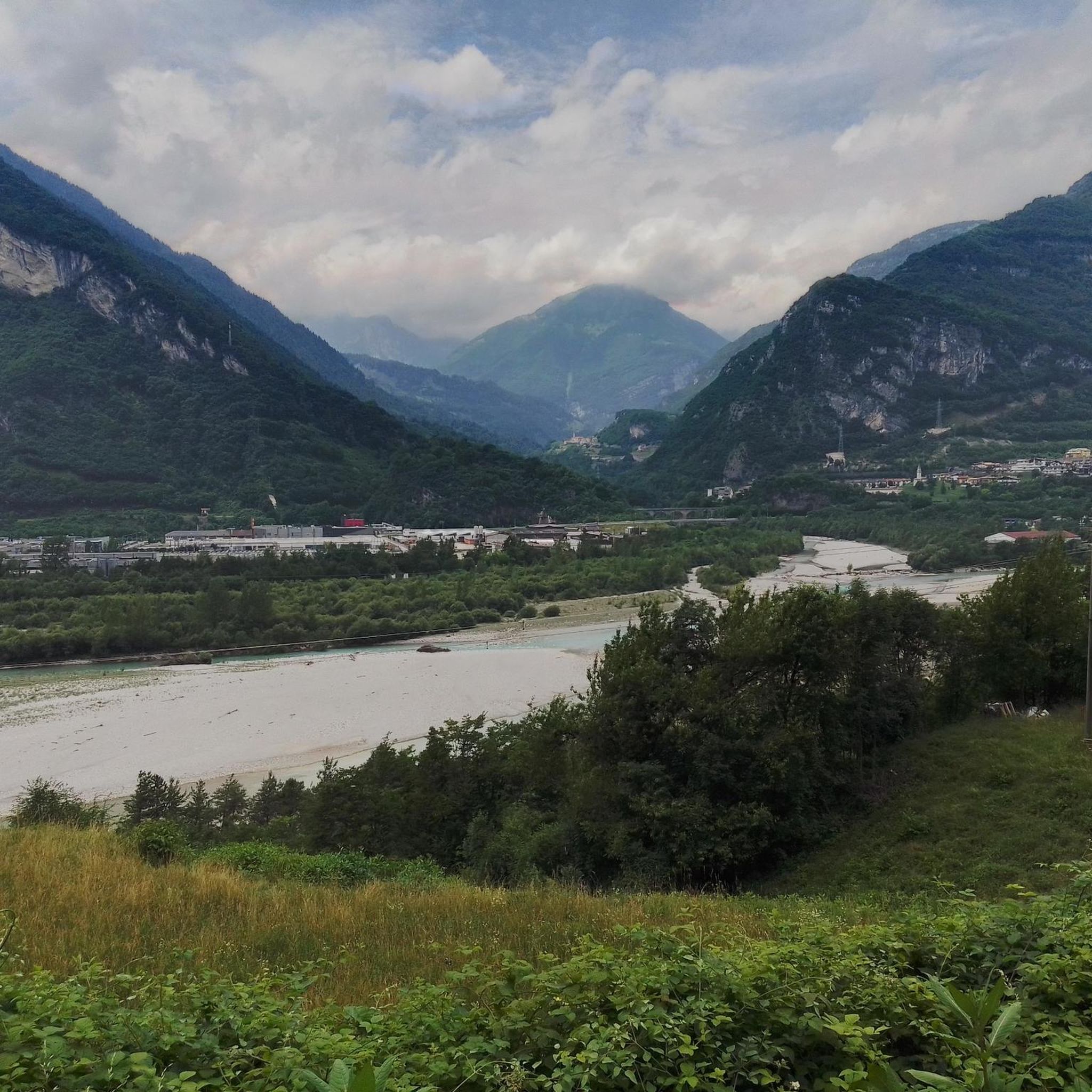
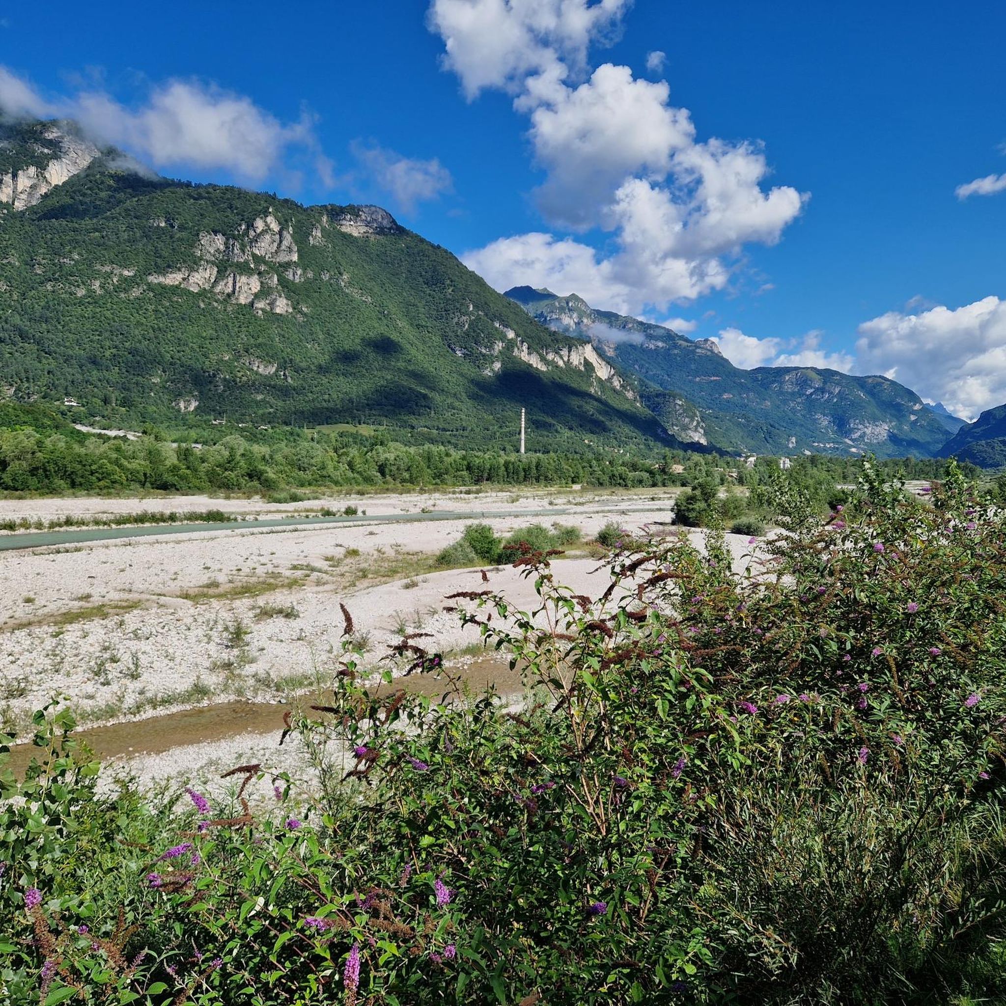
Road cycling around Longarone offers diverse terrain within the Italian Dolomites, a UNESCO World Heritage Site. The region features dramatic mountain profiles, river valleys formed by the Piave River and Maè stream, and dense forests such as Cajada. Cyclists can navigate routes ranging from moderate paths along waterways to challenging ascents towards mountain passes like Staulanza Pass, providing varied elevation and scenery.
Best road cycling routes around Longarone
- The most popular road cycling route is Vajont Dam Loop from Longarone, a 19.8 miles (31.9 km) trail that takes 1 hour 58 minutes to complete. This route features views of the Vajont Dam and surrounding landscapes.
- Another top favourite among local road cyclists is Vajont Dam Memorial – Gorgazzo Spring loop from Longarone-Zoldo, a difficult 80.8 miles (130.0 km) path. This longer route includes the Vajont Dam Memorial and offers a challenging ride through varied terrain.
- Local road cyclists also love the Belluno Historic Center – Piazza dei Martiri, Belluno loop from Castellavazzo, a 34.0 miles (54.8 km) trail leading through the Belluno Historic Center, often completed in about 2 hours 37 minutes.
- Road cycling around Longarone is defined by the majestic Dolomites, the Piave River valley, and challenging mountain passes. The network offers options for different ability levels, from moderate valley rides to demanding climbs.
- The routes in Longarone are highly rated by the komoot community with an average score of 4.7 stars from over 50 reviews. More than 2000 road cyclists have used komoot to explore Longarone's varied terrain.
Last updated: September 26, 2026
3.0
(3)
44
riders
31.9km
01:59
890m
900m
Cycle the moderate 19.8-mile Passo San Osvaldo route from Longarone, gaining 2924 feet with scenic views and low traffic.
5.0
(2)
210
riders
130km
06:07
1,640m
1,640m
Hard road ride. Very good fitness required. Mostly well-paved surfaces and easy to ride.

129
riders
49.1km
02:13
440m
440m
Moderate road ride. Good fitness required. Mostly well-paved surfaces and easy to ride.
4.6
(9)
62
riders
36.7km
01:34
240m
240m
Moderate road ride. Great for any fitness level. Some segments of this route may be unpaved and difficult to ride.
5.0
(1)
49
riders
106km
06:38
3,000m
3,000m
Hard road ride. Very good fitness required. Mostly well-paved surfaces and easy to ride.
Get access to more routes and recommendations from other explorers.
Already have an account?
Our route recommendations are based on thousands of hikes, rides, and runs completed by other people on komoot.
Start today with a free account
Your next adventure awaits.
Popular around Longarone
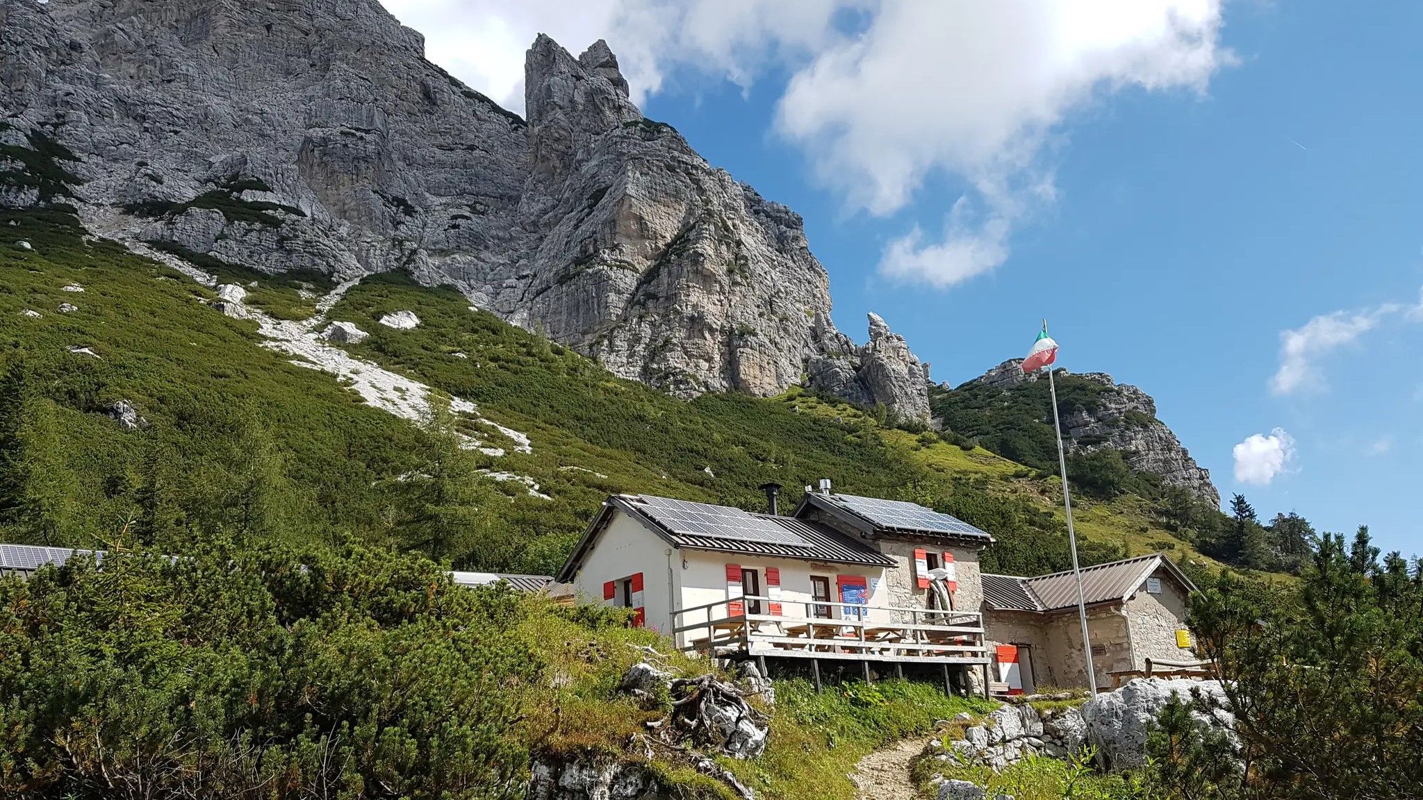
Alta Via Dolomiti Bellunesi – the wild Dolomiti Bellunesi National Park

Via Venezia Alpina – hiking across the Alps to the Adriatic Sea

The "Dream Path" hiking trail – From Munich to Venice in 28 stages
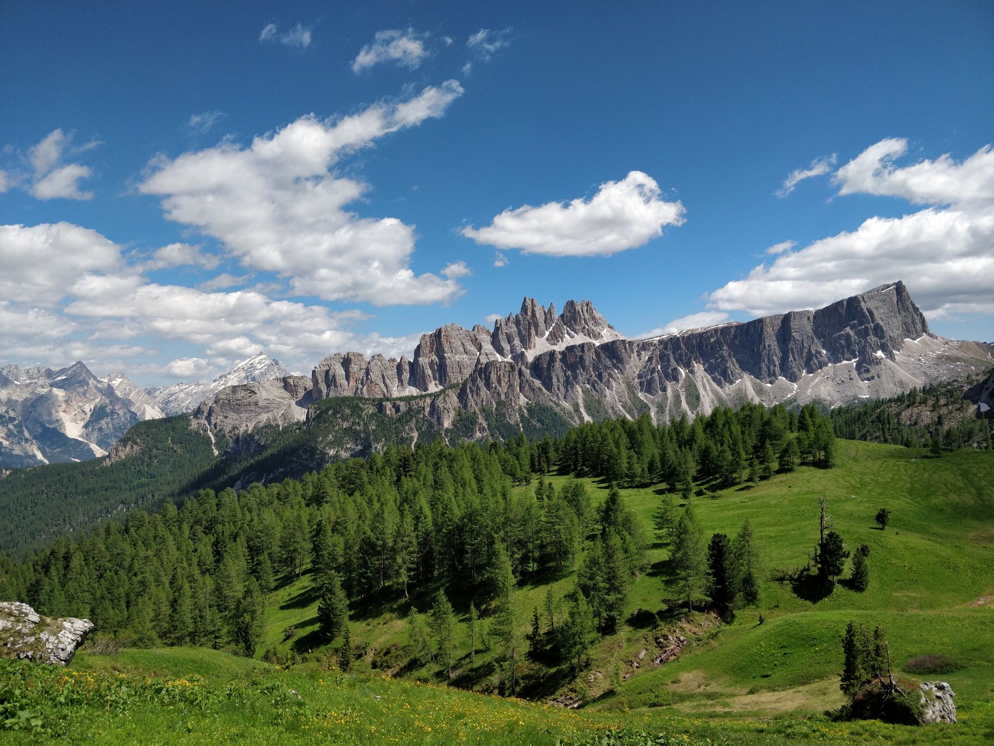
Hiking one step from heaven – Alta Via delle Dolomiti 1
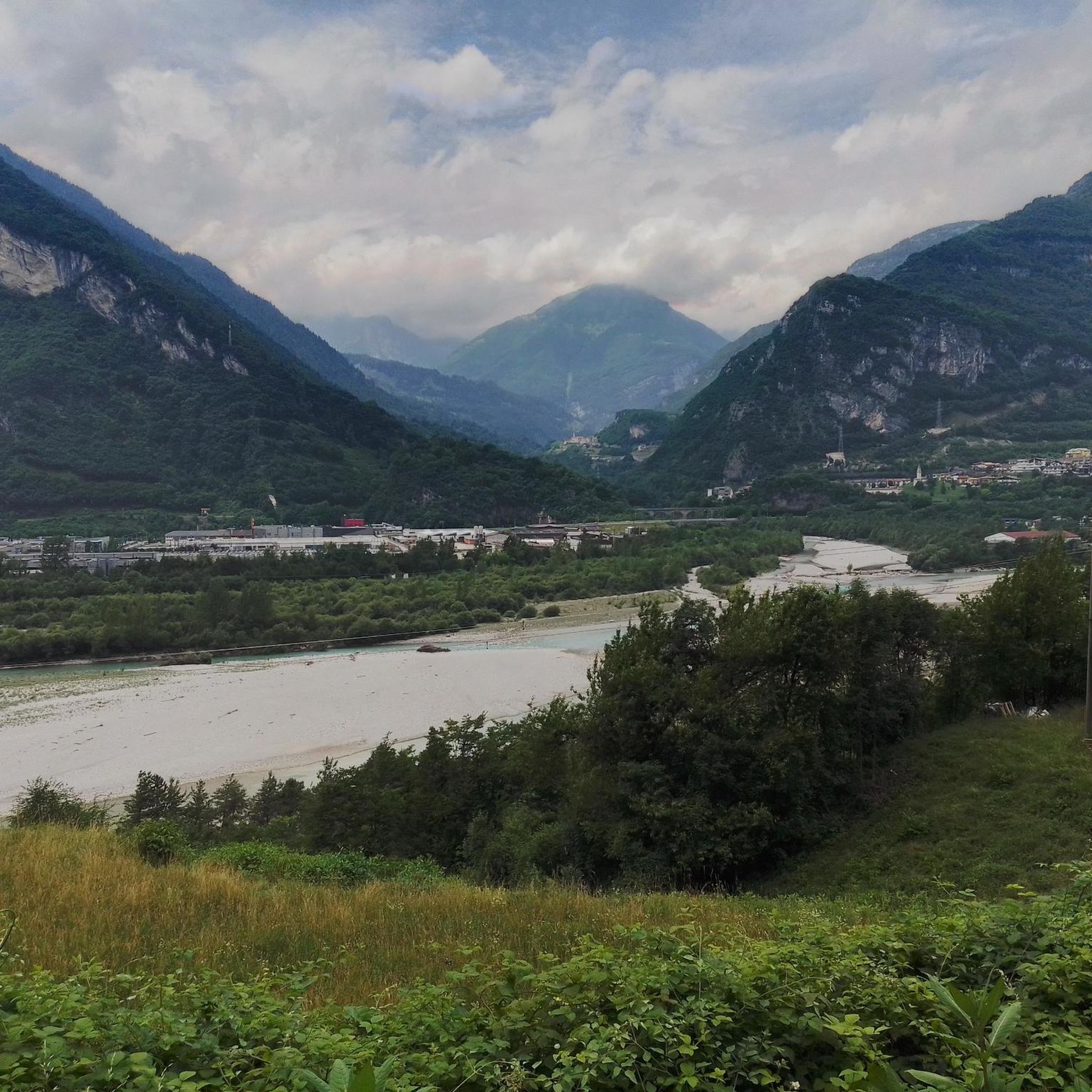
Hiking around Longarone
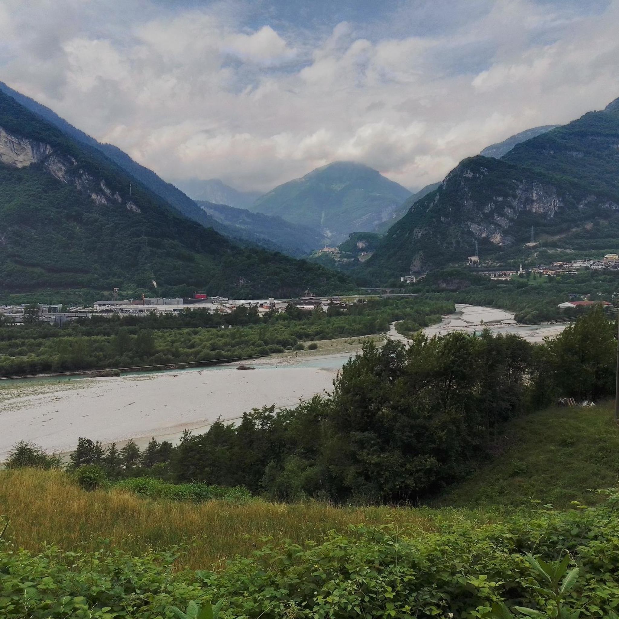
Cycling around Longarone
MTB Trails around Longarone
Running Trails around Longarone

Gravel biking around Longarone

Mountain Hikes around Longarone
Other adventures around Longarone


Tips from the Community

Nice place for a small break.
1
0
Nice place, the highlight name is rather incomprehensibly cryptic.
1
0
Scenically beautiful route without asphalt.
2
0
Impressive atmosphere also from below, gigantic what happened back then.
1
0

Lake Aprilis, better known as Lake Barcis, is an artificial basin created in 1954 by damming the Cellina stream near the Ponte Antoi gorge. Its characteristic brilliant green color is due to the combination of sunlight with minerals and calcareous sediments carried by the waters. The presence of dense beech and fir forests along the banks accentuates the emerald green tones.
1
0

The Vajont Dam Memorial and the connected "diffuse museum" constitute a solemn historical and civil itinerary dedicated to the disaster of October 9, 1963. The Vajont Dam is located in the municipality of Erto e Casso (PN), while the main centers of historical memory and exhibition develop in Longarone.
0
0

The Vajont Dam, located in the deep gorge between Friuli Venezia Giulia and Veneto, stands imposingly as a silent and monumental warning against human hubris. Having survived almost intact the catastrophic wave of October 9, 1963, caused by the landslide of Monte Toc, the structure is today a sacred place of collective memory. The dam's crest can be traversed through touching guided tours that allow you to walk close to the precipice, observing on one side the enormous landslide body and on the other the valley below of Longarone. Near the structure stands the Memorial, where a moving spread of colorful flags commemorates the children lost in the tragedy. The entire area, combined with the nearby Visitor Center of Erto and Casso, offers a historical and educational journey essential for understanding, remembering, and honoring the victims of the disaster.
0
0
The Via Regia cycle path is a picturesque cycle-pedestrian route that winds north of Lake Santa Croce, connecting the Alpago and the area of Ponte nelle Alpi to Soverzene. The route, mostly flat and suitable for cyclists of all levels, closely follows the path of the impressive hydraulic engineering works that connect the Piave river to the lake basin. Cycling along this route, you will find yourself immersed in a natural setting of great value, characterized by dense riparian forests and wetlands. The route passes through the Sbarai Nature Oasis, offering splendid views of the reed beds and the lake, before heading north between rock faces loved by climbers. It is a fundamental segment for both local tourism and long-distance cycle tourists, forming part of the famous international Munich-Venice route.
1
0
Frequently Asked Questions
What kind of terrain can I expect when road cycling around Longarone?
Longarone, nestled in the Italian Dolomites, offers a diverse range of terrain. You'll find routes along the picturesque Piave River and Maè stream, through dense forests like Cajada, and challenging ascents towards majestic mountain passes such as Staulanza Pass and Duran Pass. The region is known for its dramatic mountain profiles and varying elevations, providing options from moderate valley rides to demanding climbs.
Are there road cycling routes suitable for beginners or those looking for an easier ride?
Yes, Longarone offers routes for various skill levels. While many routes feature significant elevation, there are options that are less demanding. For instance, you can find moderate paths along river valleys that provide a gentler cycling experience amidst beautiful scenery. Out of the 17 routes available, 3 are classified as easy and 8 as moderate, ensuring choices for less experienced riders.
What are some of the more challenging road cycling routes in the Longarone area?
For experienced cyclists seeking a challenge, Longarone provides several demanding routes with substantial elevation gain. A notable difficult route is the Vajont Dam Memorial – Gorgazzo Spring loop from Longarone-Zoldo, which covers 80.8 miles (130.0 km) with over 1600 meters of ascent. Another challenging option is the Staulanza Pass – Selva di Cadore loop from Longarone-Zoldo, featuring over 3000 meters of climbing. These routes offer rewarding views after strenuous efforts.
What can I see or explore along the road cycling routes near Longarone?
Road cycling routes around Longarone often lead to significant natural and historical landmarks. You can cycle to the Vajont Dam, a site of historical importance, or explore the Belluno Historic Center with its Piazza dei Martiri and Cathedral. The region is also rich in natural beauty, including the Val de Grisol with its waterfalls and the vast Cajada Forest. For stunning mountain views, routes often pass by peaks like Monte Punta or mountain passes such as Duran Pass.
Are there any circular road cycling routes around Longarone?
Yes, many of the road cycling routes around Longarone are designed as loops, allowing you to start and end in the same location. Examples include the Vajont Dam Loop from Longarone, a 19.8-mile (31.9 km) route, and the longer Vajont Dam Memorial – Gorgazzo Spring loop from Longarone-Zoldo. These circular routes are convenient for exploration without needing to retrace your path.
What do other road cyclists say about the routes in Longarone?
The road cycling routes in Longarone are highly regarded by the komoot community, boasting an average rating of 4.7 stars from over 50 reviews. Cyclists frequently praise the majestic Dolomites scenery, the variety of terrain from river valleys to challenging mountain passes, and the well-maintained paths. The region's blend of natural beauty and diverse routes makes it a favorite among visitors.
What is the best time of year for road cycling in Longarone?
The best time for road cycling in Longarone is typically from spring through autumn. During these seasons, the weather is generally favorable, and the mountain passes are clear of snow, offering access to the full range of routes. Summer provides warm temperatures, while spring and autumn offer cooler rides and vibrant natural colors. Winter cycling can be challenging due to snow and colder conditions, especially at higher elevations.
Are there any specific attractions or natural features worth visiting near the cycling routes?
Absolutely. Beyond the cycling itself, the region offers numerous attractions. You can visit the Bruto Carestiato Hut or the Casera Bosconero Hut for refreshments and stunning views. Natural highlights include the Val de Grisol, known for its intact nature and alternating waterfalls, and the Cajada Forest, a magnificent natural amphitheater. The Bus del Buson Gorge, a unique fossil gorge, also offers a fascinating stop.
How long do road cycling routes around Longarone typically take to complete?
The duration of road cycling routes around Longarone varies significantly based on distance and difficulty. Shorter, moderate routes like the Vajont Dam Loop from Longarone (19.8 miles / 31.9 km) can be completed in under 2 hours. Longer, more difficult routes, such as the Staulanza Pass – Selva di Cadore loop from Longarone-Zoldo (65.9 miles / 106.1 km), can take over 6 hours due to significant elevation gains.
Can I find routes that connect to wider cycling networks from Longarone?
Yes, Longarone is strategically located and connects to broader cycling networks. Notably, sections of the famous Munich-Venice cycle path pass through the area, offering picturesque stretches along the Piave River. This allows cyclists to integrate their rides around Longarone into longer, multi-day cycling itineraries.
Are there any routes that offer particularly scenic viewpoints?
Many routes in the Longarone area are renowned for their spectacular views, especially those ascending into the Dolomites. Routes towards passes like Staulanza Pass and Duran Pass offer breathtaking panoramic vistas of the surrounding peaks and valleys. The Vajont Dam Memorial – View of Longarone loop from Longarone also provides excellent viewpoints overlooking the town and its dramatic landscape.
Most popular routes around Longarone
Most popular attractions around Longarone

Get inspired with the komoot mobile app


Explore more
Browse the best Road cycling routes in other regions.
