The best running trails around Montereale Valcellina
4.3
(28)
1,017
runners
30
runs
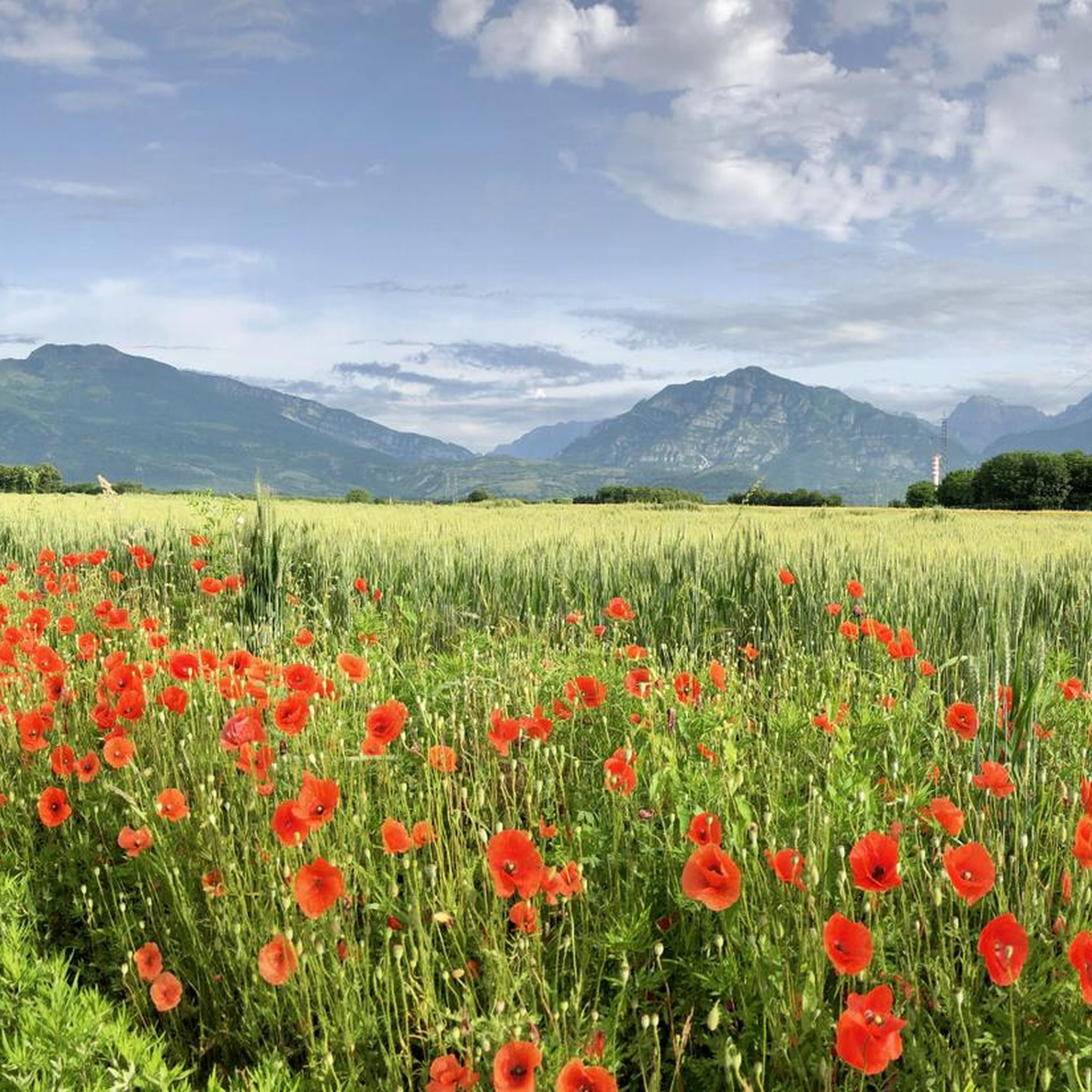
Jogging around Montereale Valcellina offers diverse terrains, from the plains to the foothills of Monte Castello, Monte Fara, and Monte Spia. The region is characterized by its mix of mountains, hills, and the Cellina torrent, providing varied landscapes for runners. The striking Cellina Gorge Nature Reserve features clear waters and dramatic rock formations, while Lake Barcis offers picturesque lakeside routes. This blend of natural features makes Montereale Valcellina a varied destination for running.
Best jogging routes around Montereale Valcellina
- The…
Last updated: September 24, 2026
42
runners
13.2km
01:30
70m
70m
Moderate run. Good fitness required. Mostly paved surfaces. Suitable for all skill levels.
22
runners
17.4km
03:06
1,070m
1,070m
Hard run. Very good fitness required. Sure-footedness, sturdy shoes and alpine experience required.

5
runners
21.1km
03:15
1,100m
1,100m
Hard run. Very good fitness required. Sure-footedness, sturdy shoes and alpine experience required.
16
runners
19.6km
02:04
130m
130m
Hard run. Very good fitness required. Mostly paved surfaces. Suitable for all skill levels.
18
runners
10.1km
01:16
260m
260m
Moderate run. Good fitness required. Mostly paved surfaces. Suitable for all skill levels.
Get access to more routes and recommendations from other explorers.
Already have an account?
Our route recommendations are based on thousands of hikes, rides, and runs completed by other people on komoot.
Start today with a free account
Your next adventure awaits.
Popular around Montereale Valcellina
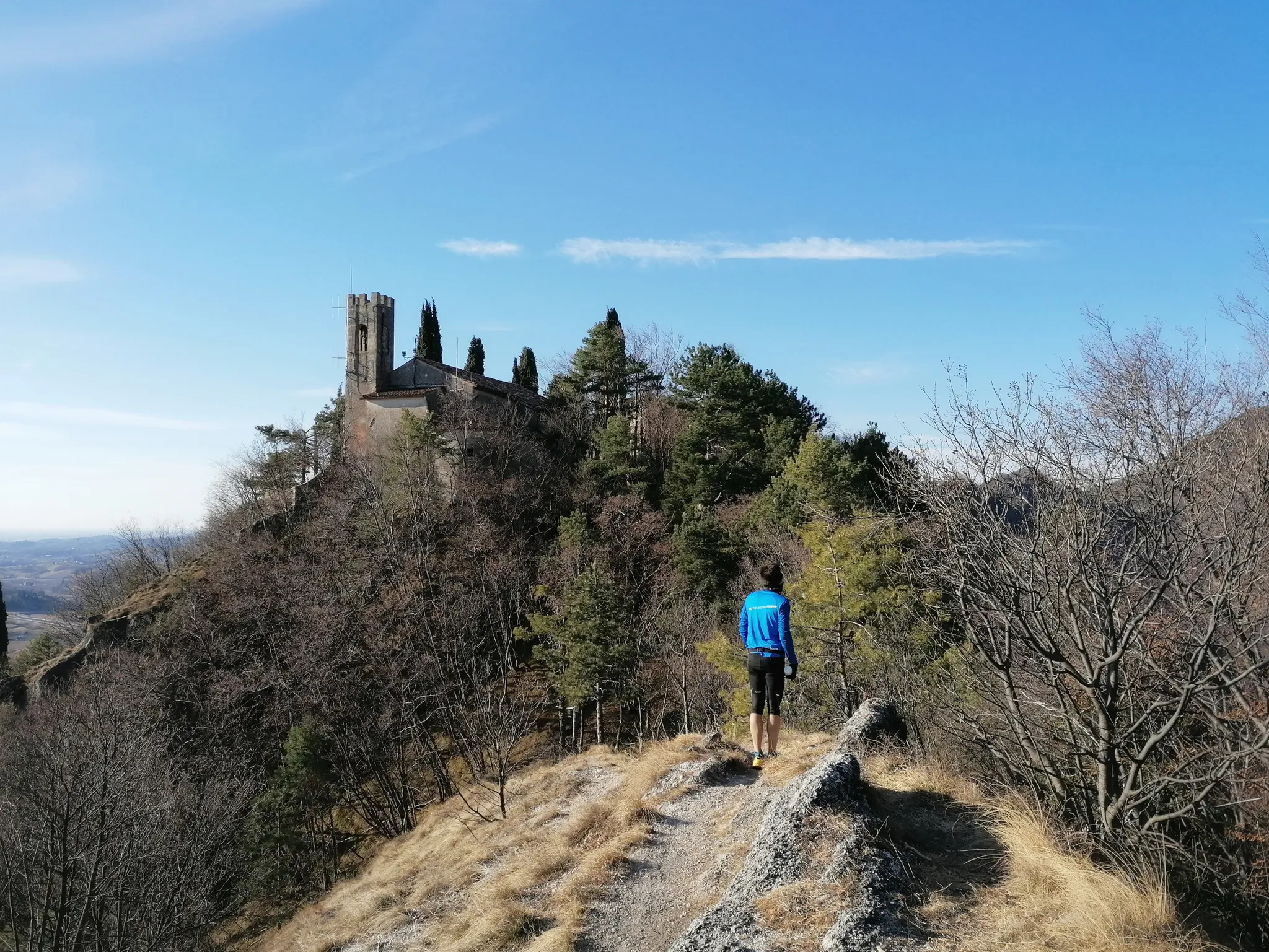
800 years of history from Gemona to Padua – Cammino di Sant'Antonio
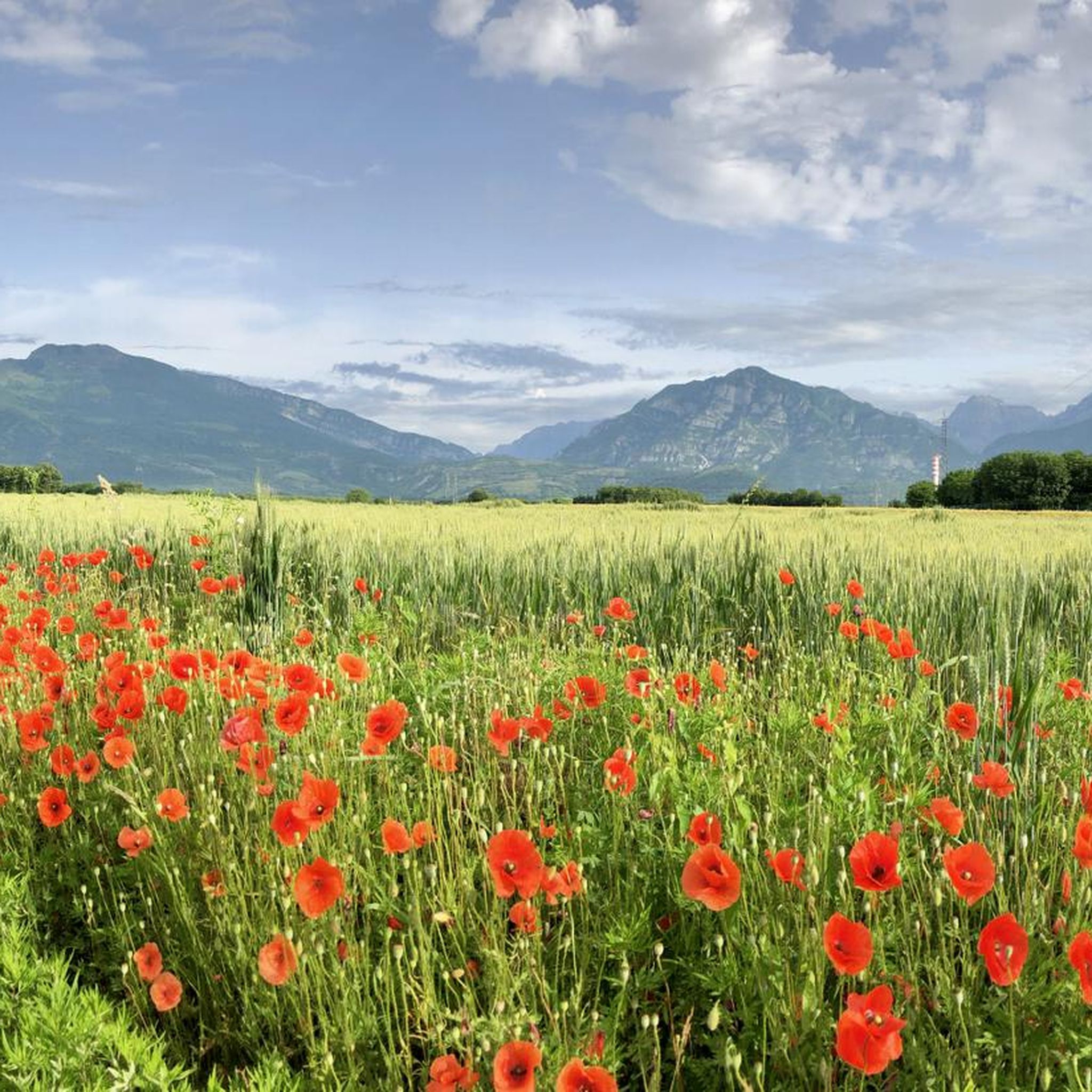
Hiking around Montereale Valcellina
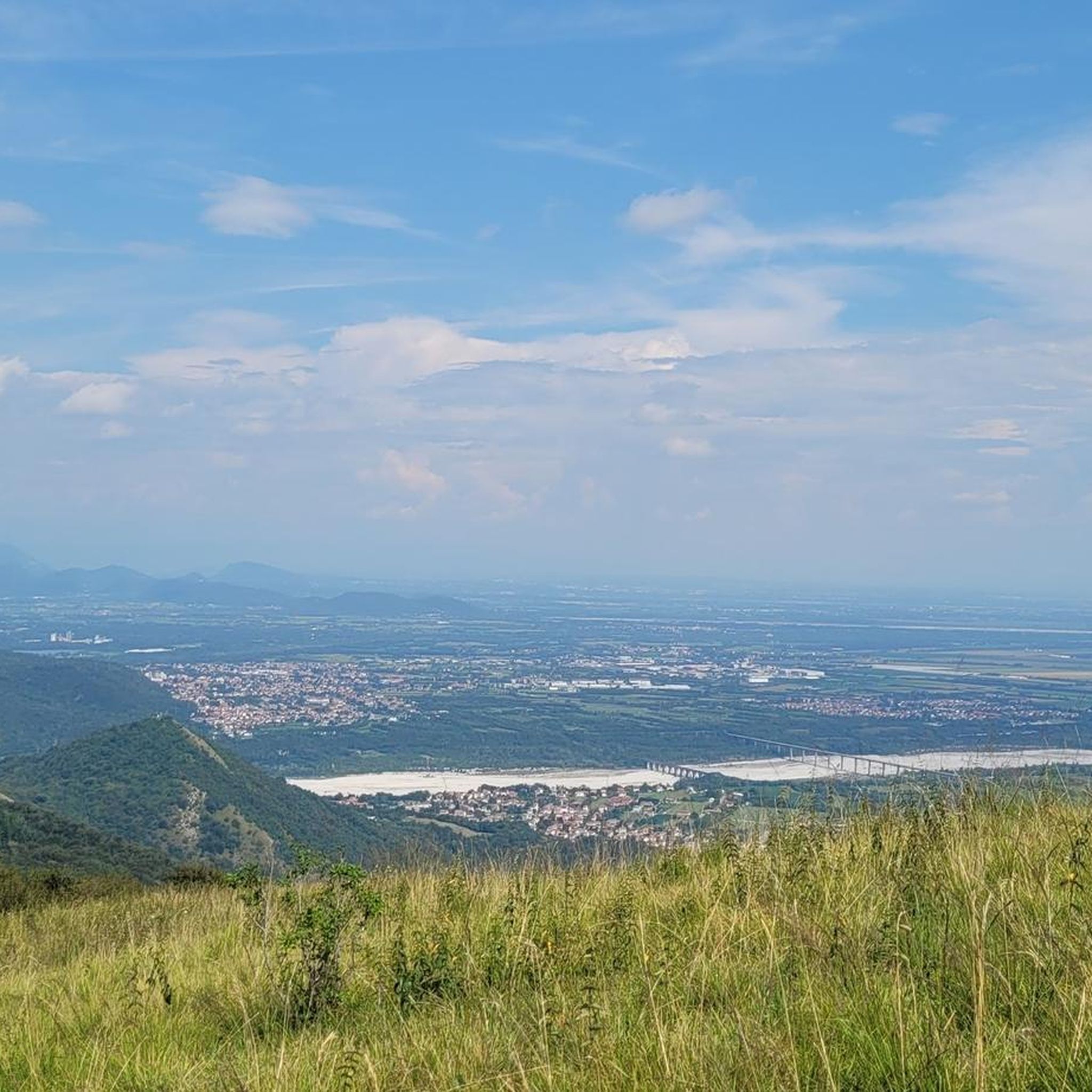
Road Cycling Routes around Montereale Valcellina
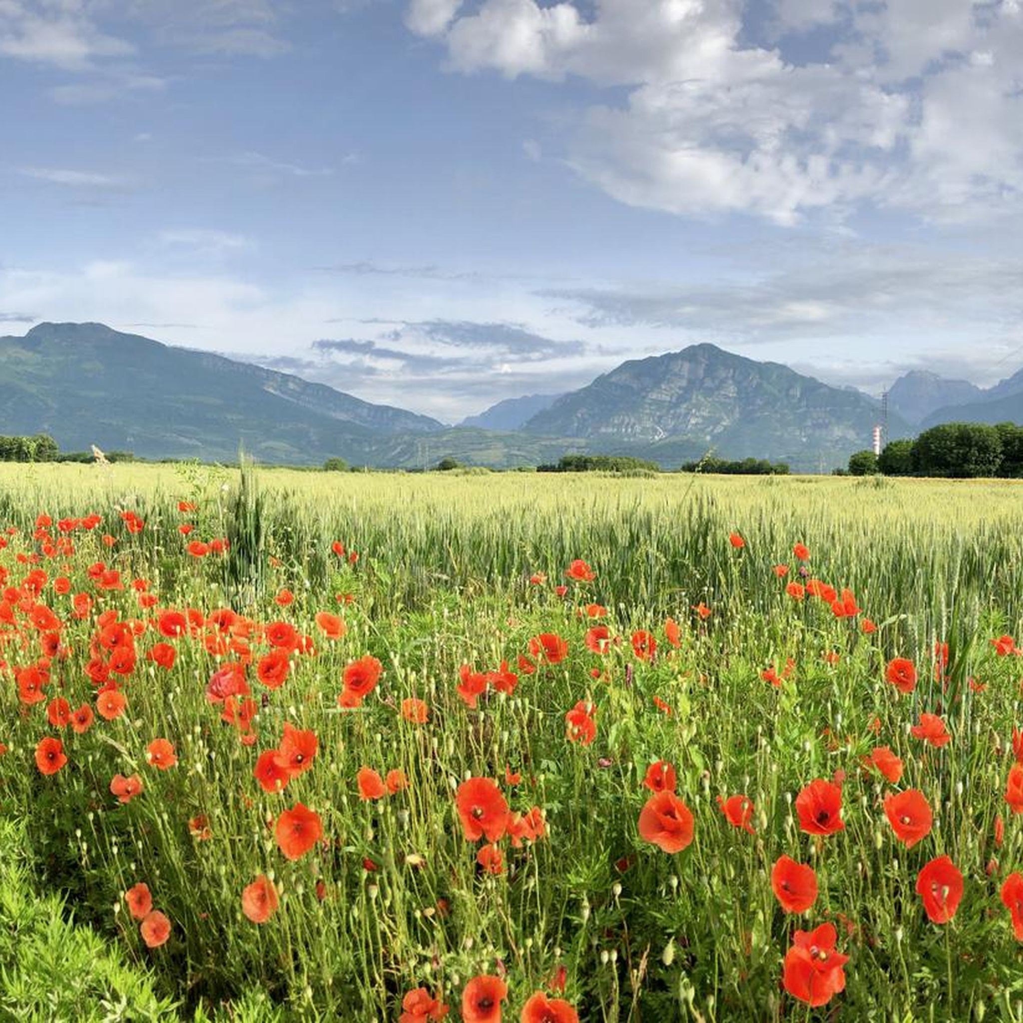
MTB Trails around Montereale Valcellina
Cycling around Montereale Valcellina
Gravel biking around Montereale Valcellina

Mountain Hikes around Montereale Valcellina
Other adventures around Montereale Valcellina

Tips from the Community

Beautiful little church of Marsure
0
0

which
0
0

Casera Rupeit, 1275 meters. Located in a panoramic position, it's an excellent base and offers overnight accommodations.
0
0

...patron saint of wayfarers and curious cyclists. Frescoed in the Church of Santa Caterina in Marsure As mentioned, there are four churches in Marsure: the best known are the Madonna del Monte and the Church of San Lorenzo Martire, which gives its name to the parish. The oldest, however, is the Church of Santa Caterina d'Alessandria, consecrated at the same time as the parish, and therefore almost fifty years older than the Church of San Lorenzo, consecrated in 1494. From an artistic standpoint, this is considered the most beautiful and evocative. Its interior is richly frescoed, with paintings recalling the legend of Saint Catherine of Alexandria, a 4th-century martyr. https://www.loppure.it/santa-caterina-marsure/
0
0
of this thousand-year-old church of San Rocco and its 16th-century frescoes: a beautiful church that deserves a visit
0
0
The Ravedis bridge, built to connect Maniago to Montereale Valcellina.
0
0

The little church, now a destination for hikers and devotees, was once an indispensable shelter for those who went to the mountains to make hay and firewood, as well as a rest and prayer station for wayfarers walking along the ancient road of Forcella La Croce. The small oratory was built in the heart of the Maniagolibero mountain, in a clearing located halfway between the village itself and Forcella Crous. In the 1820s it was subjected to heavy renovation by Gio Batta Marocco. The little church was restored by the A.N.A., Maniago section, in 1989. It has a simple gabled layout extended on the façade by the portico supported by a large pillar. Above the entrance to the portico is a statuette depicting Saint Christopher. You enter the small, bare rectangular hall by climbing two steps and crossing the simple arched door crowned by a small wooden aedicule with a recently made crucified Christ. A niche in the back wall houses the statuette of Saint Anthony, while two small windows opened in the side walls provide light to the interior.
2
0

The Pedemontana FVG3 Cycle Route passes through Malnisio, offering a scenic route at the foot of the Friulian Prealps. Ideal for cycle tourists, the route alternates paved roads with more adventurous stretches, with views of hills and historic villages. In Malnisio, the old hydroelectric power plant adds a touch of cultural interest to the stop.
0
0
Frequently Asked Questions
How many running routes are available in Montereale Valcellina?
Montereale Valcellina offers 27 dedicated running routes, catering to various preferences and skill levels. These include everything from easy, flat paths to more challenging mountain ascents.
What kind of terrain can I expect on the jogging trails in Montereale Valcellina?
The region provides a diverse range of terrains for runners. You'll find routes along the plains, through hills, and at the base of mountains like Monte Castello, Monte Fara, and Monte Spia. Many paths follow the Cellina torrent, offering riverside runs, while others explore the picturesque surroundings of Lake Barcis or ascend into the Friulian Dolomites.
Are there any easy or beginner-friendly running routes in the area?
Yes, Montereale Valcellina has options suitable for beginners. For a relatively easy run, consider the Running loop from Pordenone / Pordenon, which is a moderate 8.2-mile (13.2 km) trail with minimal elevation gain, making it accessible for a steady run. The hills of Grizzo and Malnisio also offer pleasant, less strenuous routes.
What are some challenging running routes for experienced runners?
For those seeking a challenge, Montereale Valcellina offers several difficult routes. The Chapel of Saint Anthony – Forcella Crous Pass loop from Montereale Valcellina / Montreâl is a demanding 10.8-mile (17.4 km) path with significant elevation. Another excellent option is the Pala d'Altei loop from Montereale Valcellina, a 13.3-mile (21.5 km) trail through varied mountain landscapes.
Can I find circular running routes in Montereale Valcellina?
Absolutely. Many of the routes in the area are designed as loops, allowing you to start and finish at the same point. Examples include the Running loop from Montereale Valcellina / Montreâl and the Monte Spia loop from Montereale Valcellina, which offer convenient circular options.
Are there any scenic viewpoints or landmarks along the running trails?
Yes, the region is rich in natural beauty and interesting sights. You can enjoy breathtaking views from the First Viewpoint (Skywalk del Dint), which overlooks Lake Barcis and the Cellina Gorge. Other notable spots include the Carlo and Massimo Semenza Mountain Hut and the ruins of the old castle on Monte Castello.
What do other runners enjoy most about jogging in Montereale Valcellina?
The running routes in Montereale Valcellina are highly rated by the komoot community, with an average score of 4.1 stars from over 20 reviews. Runners often praise the diverse landscapes, from riverside paths along the Cellina torrent to challenging mountain trails, and the stunning natural features like the Cellina Gorge Nature Reserve.
Are there any family-friendly jogging routes in Montereale Valcellina?
For families, the less strenuous paths along the gravel road of the Cellina torrent are a good choice. The routes around Lake Barcis also provide tranquil settings and expansive views, suitable for a pleasant family outing.
Are the running trails in Montereale Valcellina dog-friendly?
Many of the natural trails in Montereale Valcellina are suitable for running with dogs, provided they are kept on a leash and you adhere to local regulations regarding nature reserves. Always ensure your dog is well-behaved and that you clean up after them to preserve the natural environment for everyone.
What is the best time of year for running in Montereale Valcellina?
The region is enjoyable for running across multiple seasons. Spring and autumn offer pleasant temperatures and vibrant scenery. Summer is also popular, especially for higher altitude trails, though it's wise to start early to avoid the midday heat. Winter running is possible, but conditions can vary, especially in mountainous areas, so checking local weather and trail conditions is recommended.
Are there places to park near the trailheads in Montereale Valcellina?
Parking availability varies by trailhead. Generally, you can find parking in Montereale Valcellina itself or near popular starting points for trails leading into the Cellina Gorge or towards Lake Barcis. It's advisable to check specific route details on komoot for parking information related to your chosen running path.
Most popular routes around Montereale Valcellina
Most popular attractions around Montereale Valcellina

Get inspired with the komoot mobile app


Explore more
Browse the best Running Trails & Routes in other regions.
