The best running trails around San Biagio Della Cima
4.5
(154)
8,630
runners
176
runs
Jogging around San Biagio Della Cima offers routes through the hilly, terraced terrain of the Verbone valley, situated between 50 and 150 meters above sea level. The area is characterized by its Mediterranean flora and the prominent Monte Santa Croce, which provides elevated routes. Its proximity to the Ligurian coast, approximately 7 km away, allows for diverse running experiences, from inland hills to coastal paths.
Best jogging routes around San Biagio Della Cima
- The most popular jogging route is View…
Last updated: July 13, 2026
193
runners
Moderate run. Good fitness required. Mostly paved surfaces. Suitable for all skill levels.
4.5
(25)
399
runners
Moderate run. Good fitness required. Mostly paved surfaces. Suitable for all skill levels.

Sign up for free
50
runners
Moderate run. Good fitness required. Mostly paved surfaces. Suitable for all skill levels.
5.0
(1)
48
runners
11.4km
01:10
40m
40m
Moderate run. Good fitness required. Mostly paved surfaces. Suitable for all skill levels.
37
runners
25.0km
02:41
330m
330m
Hard run. Very good fitness required. Mostly paved surfaces. Suitable for all skill levels.
Get access to more routes and recommendations from other explorers.
Sign up for free
Already have an account?
Our route recommendations are based on thousands of hikes, rides, and runs completed by other people on komoot.
Start today with a free account
Your next adventure awaits.
Login or Signup
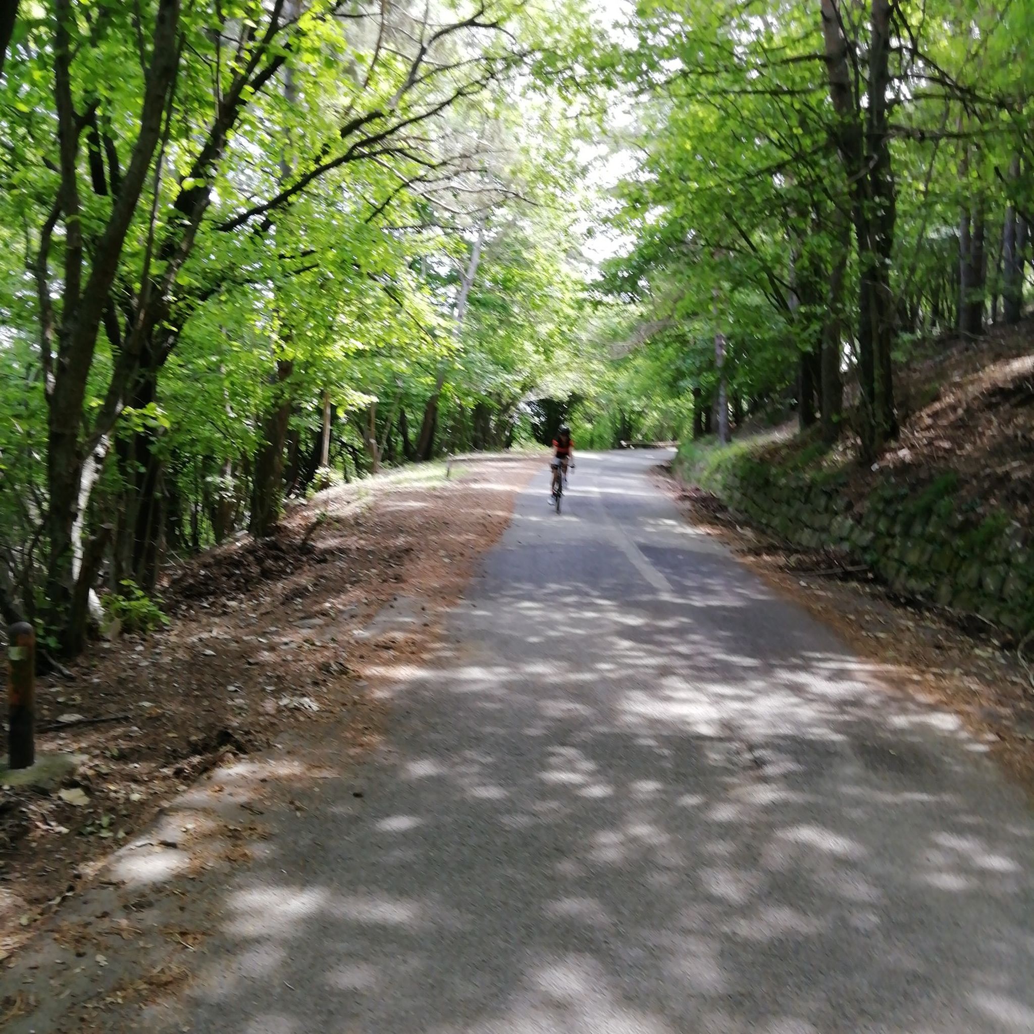
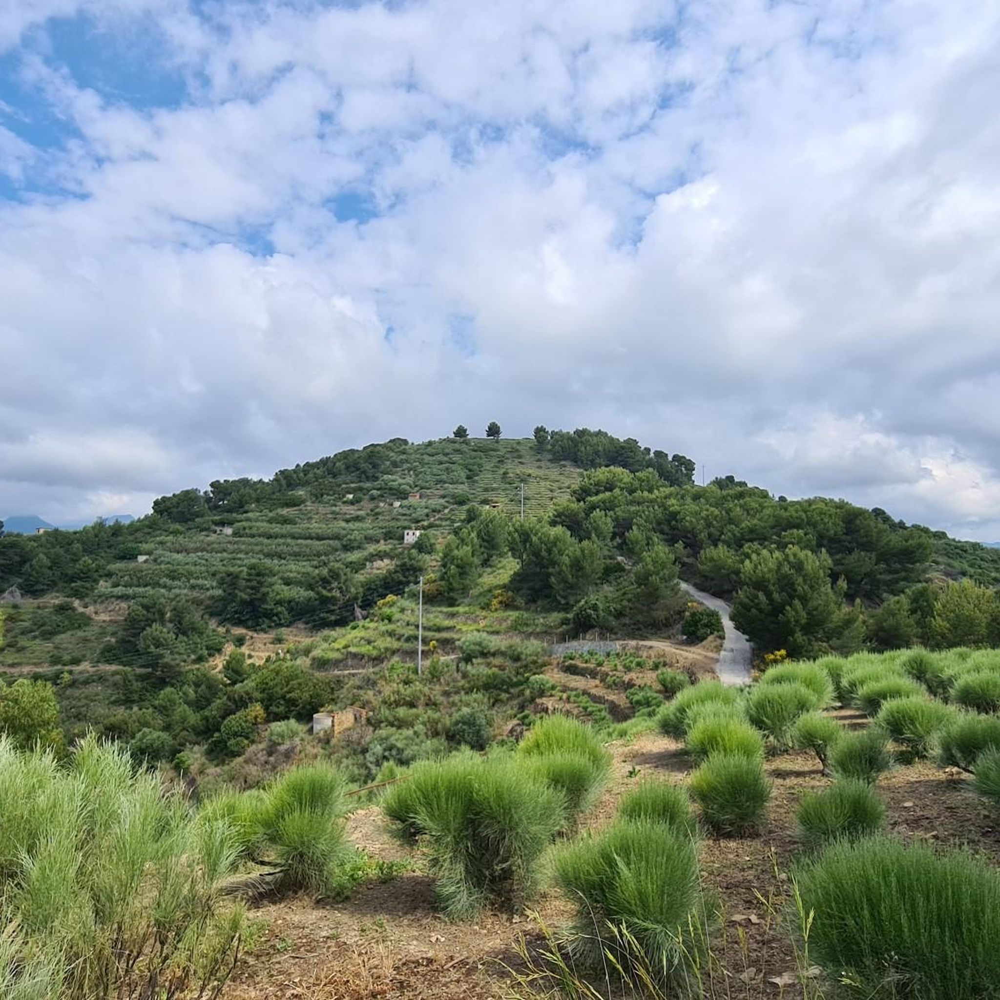
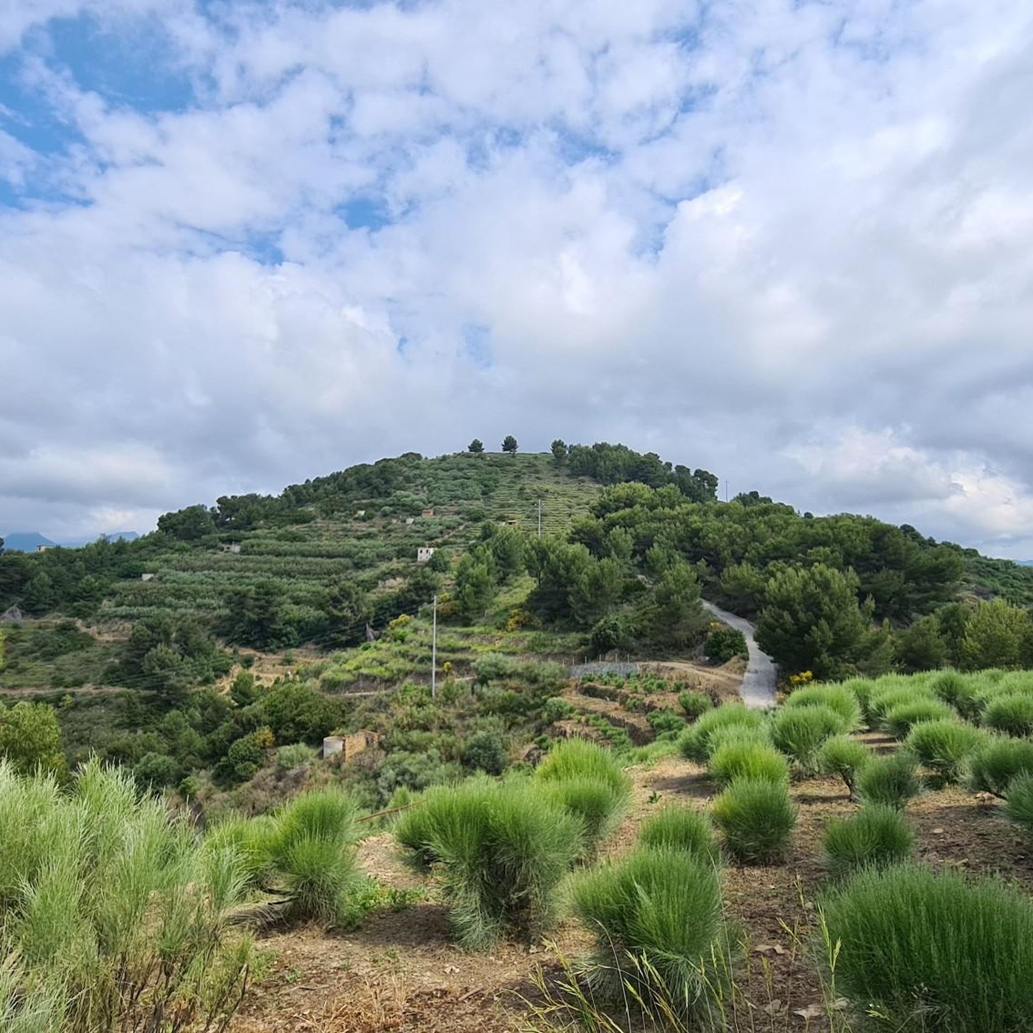
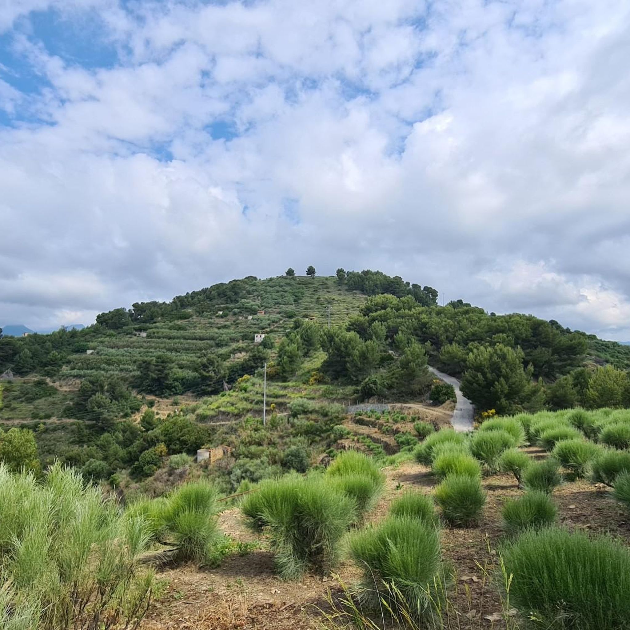

Tips from the Community


A beautiful railway line along the coast
0
0

Italian country bordering France
0
0

These are located in a side street. The amphitheater is 100m further ahead
0
0

Nice place where you see the Ligurian sea
1
1

Ventimiglia is a seaside town on the Ligurian coast a few kilometers from the French border. It is famous for its medieval old town with the cathedral of Santa Maria Assunta. I also recommend a walk along the promenade to enjoy a splendid view of the bay and the French Riviera. In the surroundings of the city, the botanical gardens of Villa Hanbury and the archaeological site of Albintimilium, with remains of a Roman theatre and baths, are interesting.
3
0

From this point it is possible to admire the historic core of Ventimiglia, the Upper Town, in the distance. The panorama is framed by the flow of the Roia river which flows into the sea a few meters later.
4
0
Frequently Asked Questions
How many running routes are available around San Biagio Della Cima?
There are over 150 running routes in and around San Biagio Della Cima. These routes offer a wide variety of experiences, from easier paths to more challenging trails, catering to different fitness levels.
What kind of terrain and difficulty can I expect on the jogging trails near San Biagio Della Cima?
The terrain around San Biagio Della Cima is predominantly hilly and terraced, nestled in the Verbone valley. You'll encounter varied inclines and descents, with some routes offering challenging climbs up Monte Santa Croce. The area features a mix of easy (around 13), moderate (over 60), and difficult (over 80) routes, ensuring options for all experience levels. Even the village's 'caruggi' (steep alleys) can provide a unique, challenging urban running experience.
Are there any family-friendly running routes in the area?
While specific routes aren't explicitly tagged as 'family-friendly', many of the easier and moderate trails can be suitable. Consider routes with less elevation gain or those along the coast, which tend to be flatter. The Val Nervia cycleway loop from Vallecrosia, for example, is a moderate 6.6-mile (10.7 km) trail that follows a cycleway, often providing a gentler experience.
Can I bring my dog on the running trails around San Biagio Della Cima?
Most natural trails and paths in the Ligurian region are generally dog-friendly, especially if your dog is well-behaved and kept on a leash. However, always be mindful of local regulations, particularly in protected areas or private lands. Ensure you carry water for your pet, especially during warmer months, as shade can be limited on some exposed paths.
What are some scenic viewpoints or landmarks I can see while jogging?
Many routes offer stunning views due to the hilly landscape. You can enjoy expansive vistas from Monte Santa Croce, which overlooks the town. For specific landmarks, consider the View of Ventimiglia Alta – Ventimiglia Old Town loop from Vallecrosia, which provides views of the historic Ventimiglia Alta. Other notable points of interest in the wider area include the Croce di Petrù viewpoint and the Monte Baraccone summit.
Are there any coastal running options near San Biagio Della Cima?
Yes, San Biagio Della Cima is only about 7 km from the Mediterranean coast, offering excellent coastal running opportunities. You can access coastal promenades or trails that provide flat, sea-level routes with refreshing breezes. The Via Porta Canarda Coastal Path – Balzi Rossi Beach loop from Vallecrosia is a challenging 15.3-mile (24.7 km) route that explores the coastline.
What is the best time of year to go jogging in San Biagio Della Cima?
San Biagio Della Cima enjoys a mild Mediterranean climate with pleasant conditions for outdoor activities for much of the year. Spring and autumn are ideal, offering comfortable temperatures. Winters are mild, making year-round running possible. Summers can be hot, so it's best to run early in the morning or late in the evening to avoid the midday heat, especially on exposed trails.
Are there any circular running routes available?
Yes, many of the routes around San Biagio Della Cima are designed as loops, allowing you to start and finish in the same location. Examples include the popular View of Ventimiglia Alta – Ventimiglia Old Town loop from Vallecrosia and the Dolceacqua Historic Village loop from Vallecrosia. These circular routes are convenient for exploration without needing to retrace your steps.
What do other runners enjoy most about jogging in San Biagio Della Cima?
The running routes in San Biagio Della Cima are highly rated by the komoot community, with an average score of 4.5 stars from over 100 reviews. Runners often praise the diverse terrain, from challenging hilly sections to scenic coastal paths, and the opportunity to explore historic villages and enjoy breathtaking views of the Ligurian landscape.
Are there any routes that pass through historic villages?
Absolutely! The region is rich in charming historic villages. The Dolceacqua Historic Village loop from Vallecrosia is a challenging 11.0-mile (17.8 km) route that specifically explores the medieval architecture and scenic surroundings of Dolceacqua, including its famous 15th-century humpback bridge, the Ponte Vecchio di Dolceacqua.
Where can I find parking for the running trails?
Parking availability varies by starting point. For routes originating from larger towns like Vallecrosia, you can typically find public parking areas. For trails starting directly in San Biagio Della Cima or smaller villages, street parking might be available, but it's advisable to check specific route details or local signage. Many routes are accessible from residential areas where parking is common.
Can I access these running routes using public transport?
Public transport options, primarily local bus services, connect San Biagio Della Cima with nearby towns like Vallecrosia and Ventimiglia. From these larger hubs, you can often find routes that start within walking distance of bus stops or train stations. For example, routes starting from Vallecrosia are generally well-connected. It's recommended to check local bus schedules in advance.
Most popular routes around San Biagio Della Cima
Most popular attractions around San Biagio Della Cima

Get inspired with the komoot mobile app


Explore more
Browse the best Running Trails & Routes in other regions.
