The best road cycling routes around Santorso
4.5
(462)
15,973
riders
252
rides
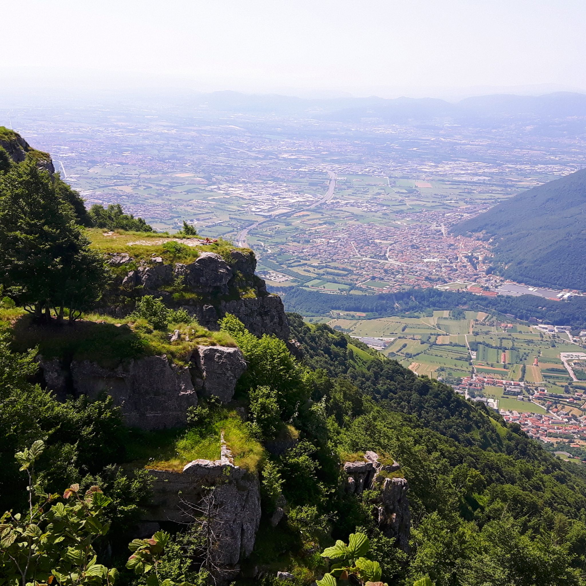
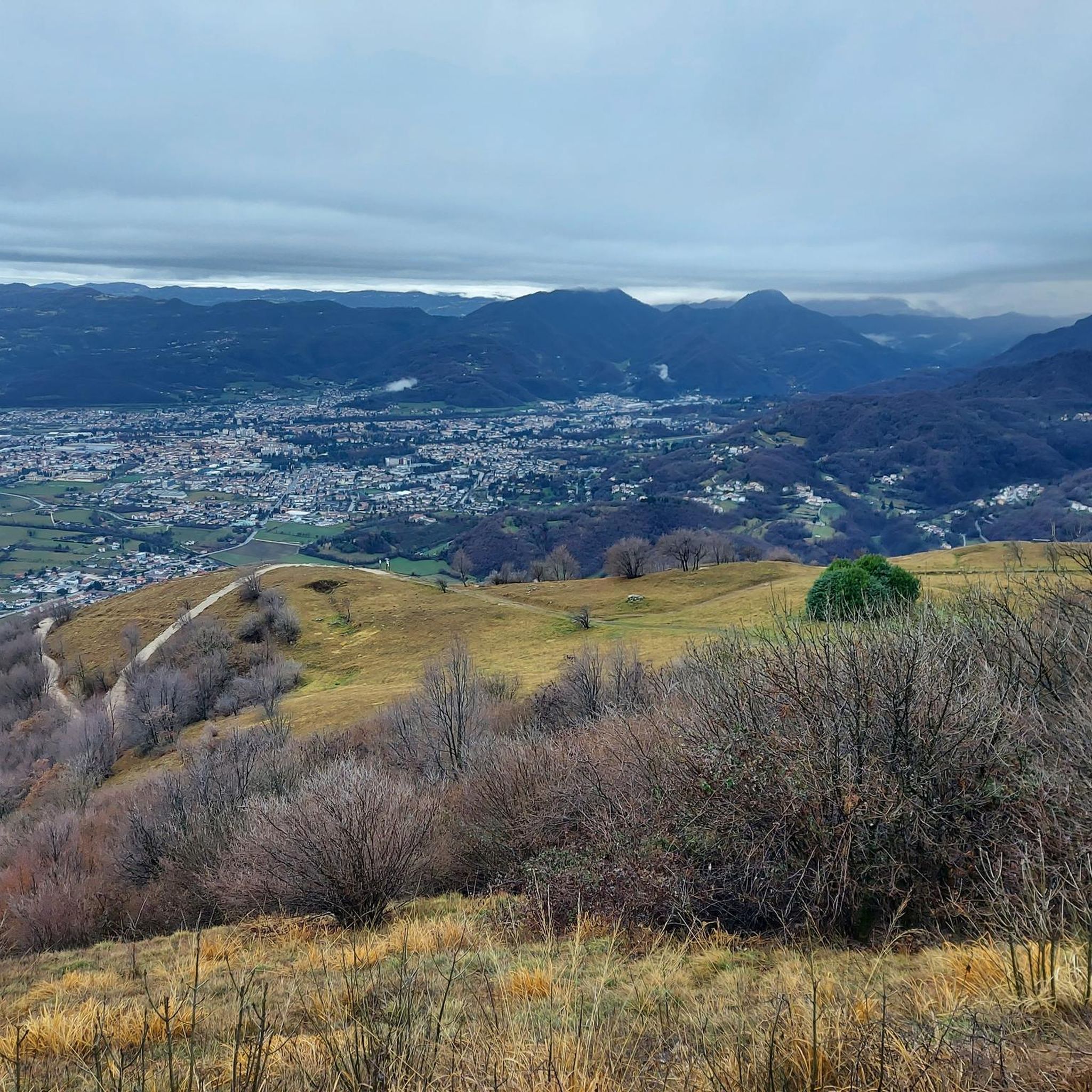
Road cycling around Santorso offers a diverse landscape characterized by significant elevation changes, winding roads through valleys, and challenging mountain passes. The region's terrain includes both open stretches and sections that ascend into higher elevations, providing varied experiences for road cyclists. This area is known for its demanding climbs and descents, making it suitable for those seeking a rigorous cycling experience. The routes often navigate through natural settings, connecting towns and offering expansive views.
Best road cycling routes around Santorso
…Last updated: September 28, 2026
4.6
(7)
160
riders
27.1km
01:20
390m
390m
Moderate road ride. Good fitness required. Mostly well-paved surfaces and easy to ride.
33
riders
Moderate road ride. Good fitness required. Mostly well-paved surfaces and easy to ride.

21
riders
31.7km
01:34
400m
400m
Moderate road ride. Good fitness required. Some segments of this route may be unpaved and difficult to ride.
20
riders
29.8km
01:32
480m
470m
Moderate road ride. Good fitness required. Some segments of this route may be unpaved and difficult to ride.
2.0
(1)
14
riders
24.5km
01:01
150m
150m
Easy road ride. Great for any fitness level. Mostly well-paved surfaces and easy to ride.
Get access to more routes and recommendations from other explorers.
Already have an account?
Our route recommendations are based on thousands of hikes, rides, and runs completed by other people on komoot.
Start today with a free account
Your next adventure awaits.

Tips from the Community

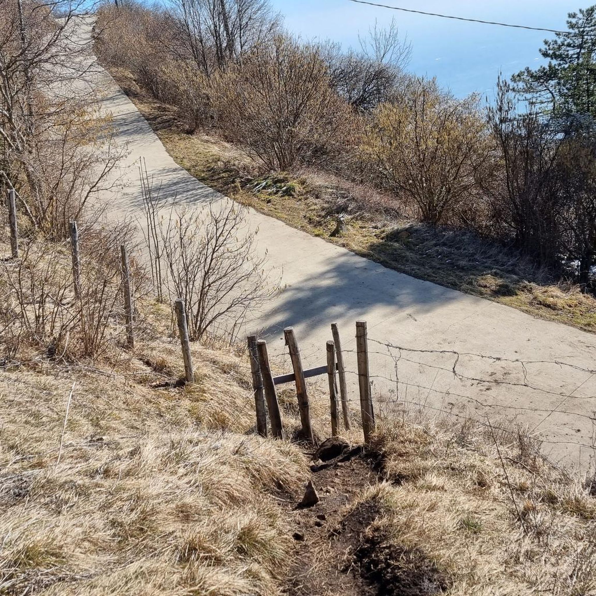
Not always lit, Take the footpath there 😉
3
0

Nice stretch to do even at the beginning of the season, paying attention to the humidity which in certain points makes the road slippery
0
0
Easy climb, ideal for the low season, except for a couple of parts which are quite sunny
0
0

Beautiful facade of the church and the very bucolic exterior pavement!
0
0


Beautiful slight slope and wonderful panorama
0
0

Excellent point to stop, enjoy the plain that lies below us and top up the bottle thanks to the fountain placed near the benches.
0
0

Nice renovated path that connects Poleo to the Capuchins
1
0
Frequently Asked Questions
How many road cycling routes are available around Santorso?
There are nearly 270 road cycling routes around Santorso documented on komoot, offering a wide range of options for cyclists. These include 40 easy, 150 moderate, and 78 difficult routes, catering to various skill levels.
Are there road cycling routes suitable for beginners in Santorso?
Yes, Santorso offers 40 easy road cycling routes that are suitable for beginners. While the region is known for its challenging terrain, these easier options provide a gentler introduction to road cycling in the area.
What kind of terrain can I expect on road cycling routes in Santorso?
Road cycling around Santorso is characterized by significant elevation changes, winding roads through valleys, and challenging mountain passes. You'll encounter both open stretches and sections that ascend into higher elevations, providing a rigorous and varied cycling experience.
What are some of the longer, more challenging road cycling routes in the area?
For experienced cyclists seeking a challenge, routes like the Rotzo – Vezzena Pass loop from Marano Vicentino, which is 74 miles (119 km) long with substantial elevation gain, offer demanding climbs and descents. Another option is the Asiago Town Center – Marostica Castle loop from Marano Vicentino, a 69.3-mile (111.6 km) path connecting notable towns and castles.
Are there any circular road cycling routes around Santorso?
Many of the road cycling routes in Santorso are designed as loops, allowing you to start and finish at the same point. Examples include the Rotzo – Vezzena Pass loop from Marano Vicentino and the Rifugio Campogrosso – Xon Pass loop from Marano Vicentino, which provides a scenic circular journey through mountainous terrain.
What attractions can I see along the road cycling routes in Santorso?
The region offers several interesting sights. You might encounter natural features like the Contrà Pria Pools or explore historical sites such as the Gun Emplacement Tunnel of Monte Cengio. Summits like Summano Summit Cross and Mount Cengio also offer panoramic views.
What do other road cyclists say about the routes in Santorso?
The road cycling routes in Santorso are highly regarded by the komoot community, holding an average rating of 4.5 stars from over 350 reviews. Cyclists often praise the challenging mountain passes, varied terrain, and expansive views encountered along the routes.
Are there any hidden gem road cycling routes in Santorso?
While many routes are popular, exploring some of the less-trafficked paths can reveal hidden gems. The Passo Xon – Xon Pass loop from Marano Vicentino, for example, offers a challenging ride with over 1000 meters of elevation gain, providing a rewarding experience away from the most frequented trails.
What is the best time of year for road cycling in Santorso?
The best time for road cycling in Santorso is typically from spring through early autumn (April to October). During these months, the weather is generally more stable and pleasant, making the challenging climbs and descents more enjoyable. Always check local weather forecasts before heading out, especially when planning to tackle higher passes.
Are there options for shorter road cycling routes in Santorso?
Yes, while many routes are long, there are shorter options available. For instance, the Passo Xon – Xon Pass loop from Marano Vicentino is about 36.6 miles (58.9 km) and can be completed in under 3 hours, offering a significant challenge in a more condensed timeframe.
Where can I find parking for road cycling routes in Santorso?
Many routes around Santorso, particularly those starting from towns like Marano Vicentino, offer public parking options. It's advisable to check specific route descriptions or local municipality websites for detailed parking information near your chosen trailhead.
Can I find cafes or refreshment stops along the road cycling routes?
The routes often connect towns and villages where you can find cafes, restaurants, and shops for refreshments. Planning your route to pass through these settlements, especially in larger towns like Asiago or Marostica, will ensure you have opportunities for breaks and resupply.
Most popular routes around Santorso
Most popular attractions around Santorso

Get inspired with the komoot mobile app


Explore more
Browse the best Road cycling routes in other regions.
