The best walks and hikes around Curino
4.3
(1226)
6,085
hikers
357
hikes
Hiking around Curino offers diverse terrain within Italy's Biellese region, characterized by unique geological features and varied elevations. The landscape includes the distinctive Rive Rosse, known for its ancient granite formations, and rolling Piedmont hills. Trails often lead through serene natural settings, including beech forests and areas with panoramic viewpoints.
Best hiking trails around Curino
- The most popular hiking route is Walk towards Lago delle Piane - Ring tour, an easy 3.9 miles (6.3 km) trail that takes about…
Last updated: July 7, 2026
5.0
(3)
10
hikers
6.29km
01:46
120m
120m
Easy hike. Great for any fitness level. Easily-accessible paths. Suitable for all skill levels.
5.0
(1)
5
hikers
9.42km
02:56
360m
360m
Moderate hike. Good fitness required. Easily-accessible paths. Suitable for all skill levels.

Sign up for free
3
hikers
12.7km
03:43
350m
340m
Moderate hike. Good fitness required. Easily-accessible paths. Suitable for all skill levels.
5.0
(2)
3
hikers
6.40km
02:00
230m
230m
Moderate hike. Great for any fitness level. Mostly accessible paths. Sure-footedness required.
3
hikers
4.89km
01:23
110m
110m
Easy hike. Great for any fitness level. Easily-accessible paths. Suitable for all skill levels.
Get access to more routes and recommendations from other explorers.
Sign up for free
Already have an account?
Our route recommendations are based on thousands of hikes, rides, and runs completed by other people on komoot.
Start today with a free account
Your next adventure awaits.
Login or Signup

Tips from the Community

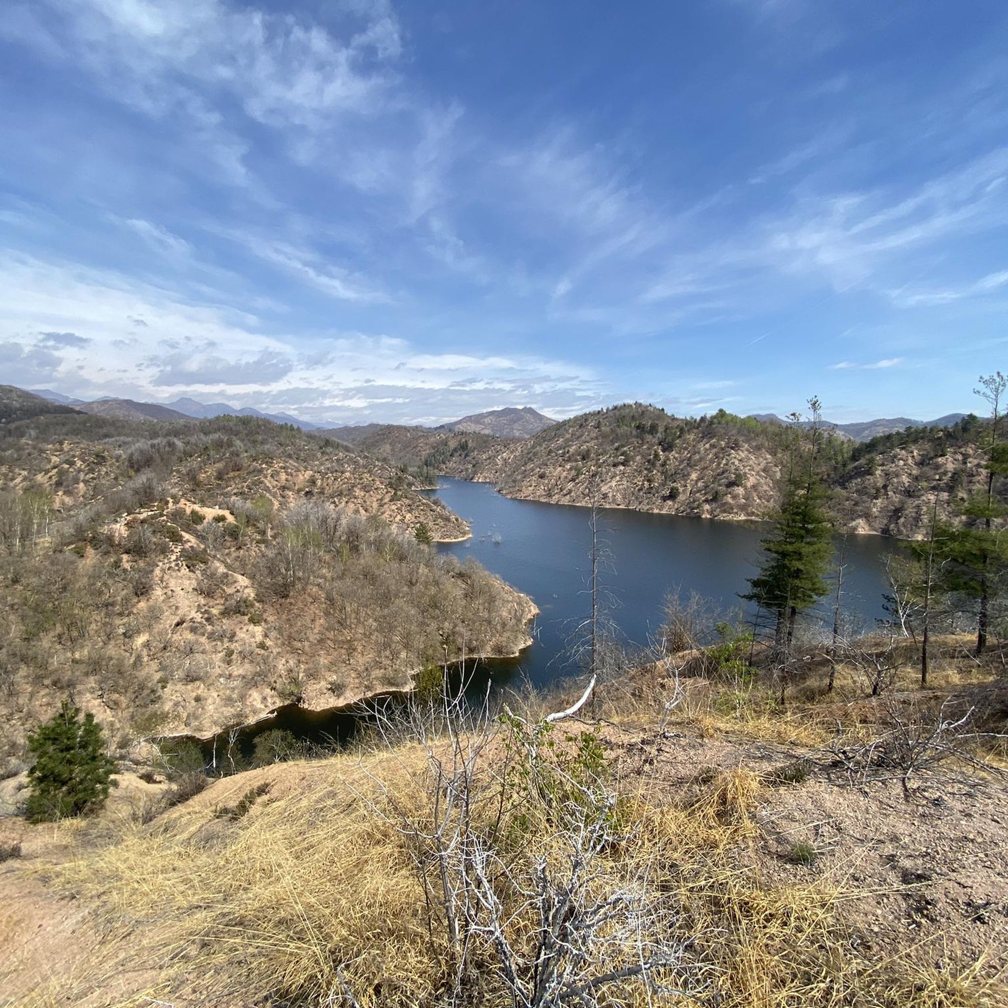
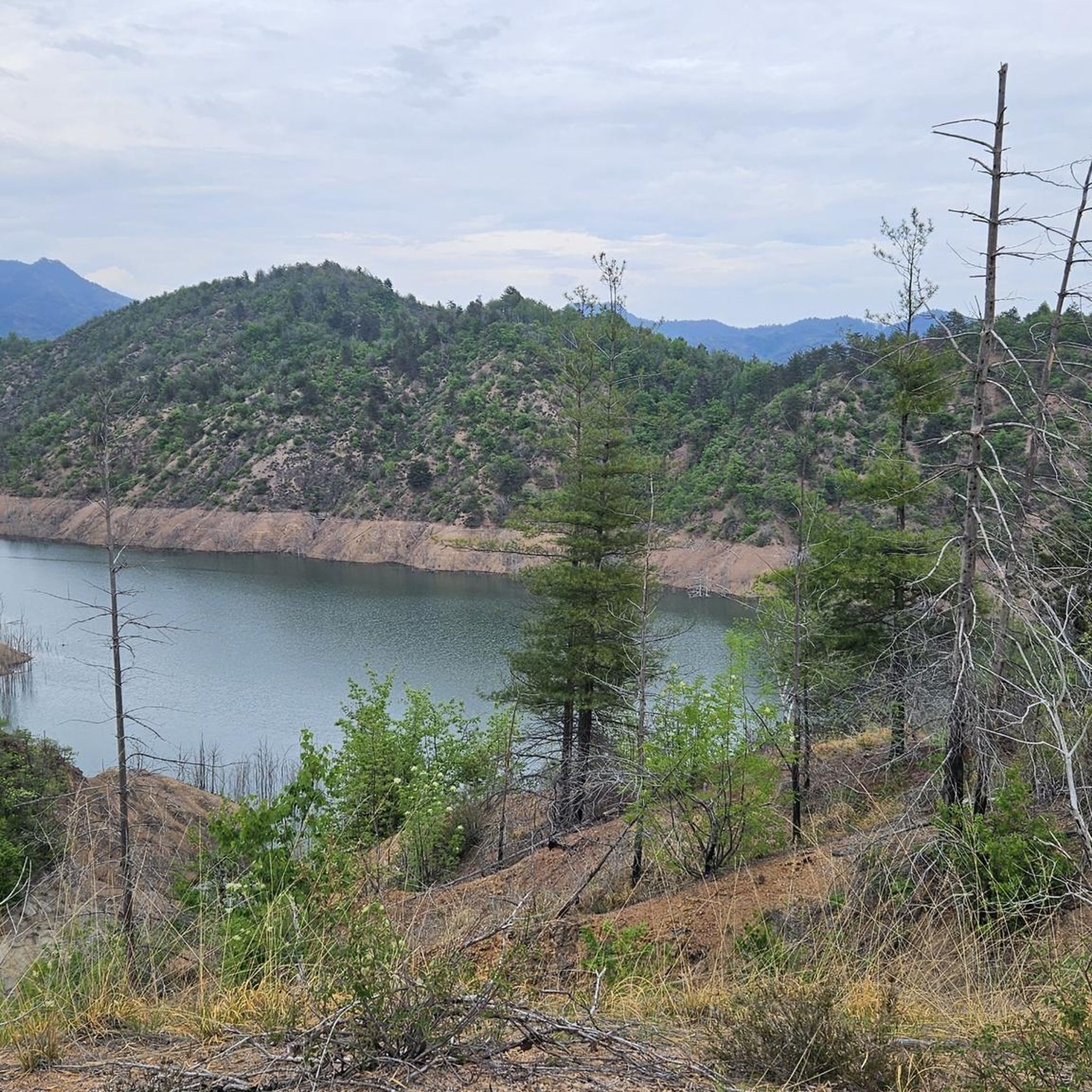
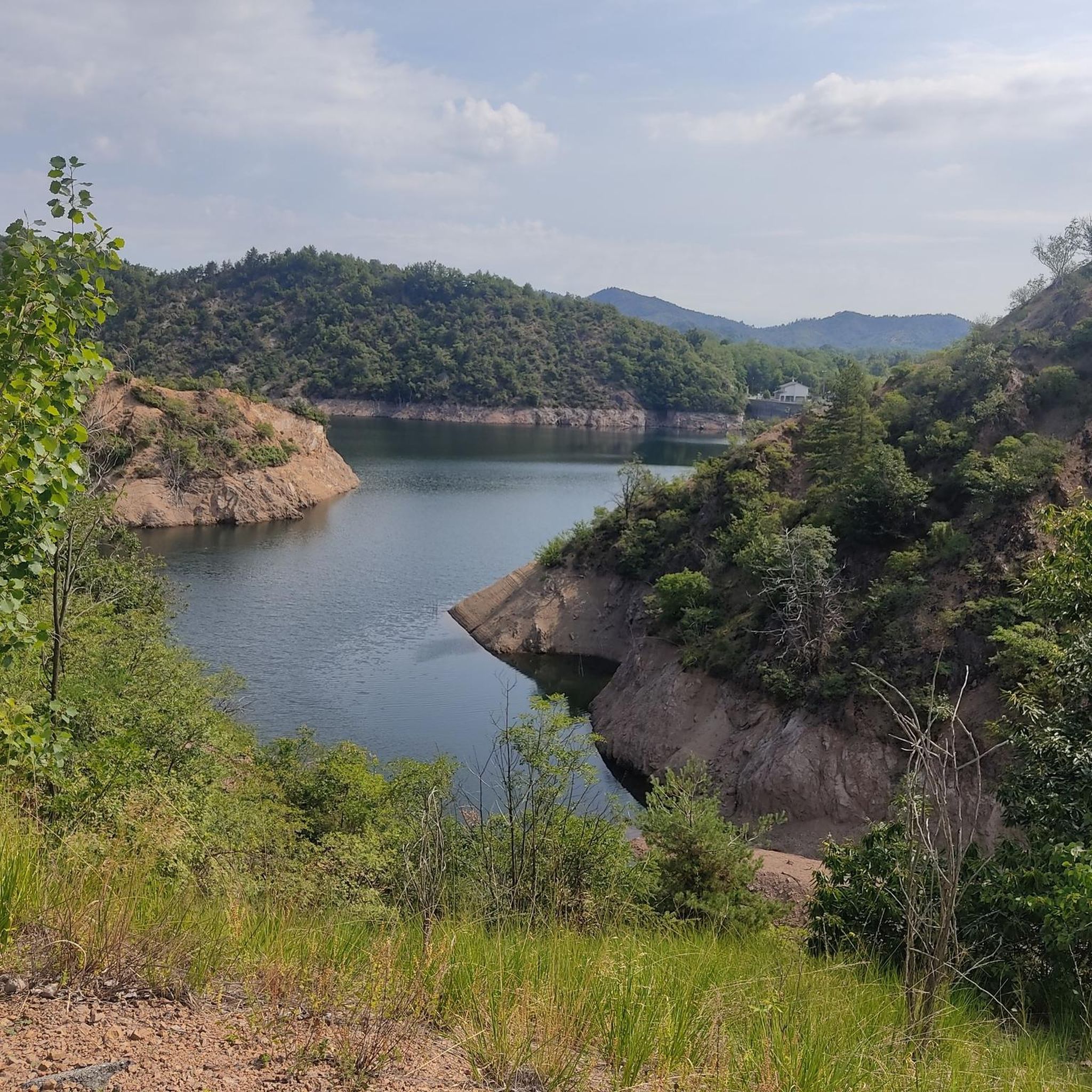
Lake delle Piane (lagh ëd le Pian-e in Piedmontese) is an artificial reservoir located at 325 m a.s.l. that blocks the Ostola stream in the province of Biella. The dam is located in the municipality of Masserano but the lake also affects the municipalities of Curino, Casapinta and Mezzana. It is famous for the practice of fishing
1
0
Frequently Asked Questions
How many hiking trails are available in Curino?
Curino offers a wide variety of hiking experiences with over 300 routes. This includes approximately 70 easy trails, nearly 200 moderate options, and around 50 more challenging hikes, ensuring something for every skill level.
What unique natural features can I expect to see while hiking in Curino?
Curino is renowned for its distinctive geological features. A must-see is the Rive Rosse (Red Banks), an unusual landscape with ancient granite formations that create a visually striking backdrop for your hike. You can explore this area via highlights like Rive Rosse.
Are there any trails with panoramic viewpoints in Curino?
Yes, Curino offers several trails leading to magnificent panoramic viewpoints. The ascent to the summit of Monte Fenera, for example, provides expansive views of Valsesia and the majestic Monte Rosa. You can find more details about this viewpoint at Monte Fenera summit and summit cross.
What do other hikers enjoy most about the trails in Curino?
The hiking trails in Curino are highly rated by the komoot community, with an average score of 4.4 stars from over 1000 reviews. Hikers often praise the diverse terrain, from the unique Rive Rosse to tranquil beech forests, and the rewarding panoramic views from various summits.
Are there any cultural or historical landmarks along the hiking routes?
Yes, Curino's trails often blend natural beauty with cultural significance. The Santuario del Mazzucco, dedicated to S. Anna, is set within a beautiful beech forest at over 900 meters altitude and forms part of the Sanctuary circuit. You can visit this site via Santuario del Mazzucco. Another point of interest is the Castelle Tower.
Can you recommend an easy, circular hike in Curino?
For an easy and pleasant circular walk, consider the Walk towards Lago delle Piane - Ring tour. This route is approximately 6.3 km long and offers a gentle loop, perfect for a relaxed outing.
Are there any longer, moderate hikes for more experienced walkers?
Absolutely. For a more extended moderate challenge, the Curino M48 Loop Trail covers about 12.7 km, offering varied terrain and a good workout. Another excellent moderate option is the Grande Traversata del Biellese: Sostegno Loop, which is 9.4 km long.
What kind of terrain can I expect on Curino's hiking trails?
Curino's hiking terrain is quite diverse. You'll encounter unique geological formations like the Rive Rosse, rolling Piedmont hills, and serene beech forests. Trails range from gentle paths to more challenging ascents, often leading to rewarding viewpoints.
Are there any trails that lead to specific viewpoints?
Yes, the Rolling Piedmont hills hike to Il Galletto Viewpoint (via M41 trail) is a great option. This moderate 6.4 km trail takes you through picturesque hills to a specific viewpoint, offering scenic vistas of the surrounding landscape.
Are there any trails suitable for a shorter, easy walk to a point of interest?
For a shorter, easy walk to a point of interest, consider the Countryside walk to Chiesa dei Santi Defendente e Faustino (via R22). This 4.9 km route leads you through the countryside to a charming church, offering a pleasant and accessible experience.
What is the best time of year to go hiking in Curino?
While specific seasonal data isn't provided, the diverse landscape of Curino, with its rolling hills and forests, suggests that spring and autumn would be ideal for hiking. These seasons typically offer pleasant temperatures and vibrant natural colors, making for comfortable and scenic walks. Summer can also be enjoyable, especially on higher elevation trails or in shaded forest areas.
Most popular attractions around Curino

Get inspired with the komoot mobile app


Explore more
Browse the best Hikes in other regions.
