The best walks and hikes around Sulzthal
4.5
(7265)
27,549
hikers
25
hikes
Hiking around Sulzthal offers diverse terrain through forests, vineyards, and dry areas, providing varied experiences for outdoor enthusiasts. The region is characterized by scenic paths and elevated sections that offer panoramic views, particularly across the wider Rhön region known for its open vistas. The landscape features a mix of well-maintained forest trails and paths along the Franconian Saale, contributing to a rich natural environment. This area is also close to the Rhön Biosphere Reserve, which showcases diverse ecosystems including montane…
Last updated: August 25, 2026
4.8
(23)
84
hikers
16.2km
04:25
240m
240m
Moderate hike. Good fitness required. Mostly accessible paths. Sure-footedness required.
4.7
(53)
163
hikers
10.5km
03:04
270m
270m
Moderate hike. Good fitness required. Mostly accessible paths. Sure-footedness required.

Sign up for free
4.5
(4)
21
hikers
14.0km
03:49
200m
200m
Moderate hike. Good fitness required. Mostly accessible paths. Sure-footedness required.
4.4
(5)
14
hikers
5.33km
01:32
130m
130m
Easy hike. Great for any fitness level. Easily-accessible paths. Suitable for all skill levels.
4.8
(4)
18
hikers
Moderate hike. Good fitness required. Easily-accessible paths. Suitable for all skill levels.
Get access to more routes and recommendations from other explorers.
Sign up for free
Already have an account?
Our route recommendations are based on thousands of hikes, rides, and runs completed by other people on komoot.
Start today with a free account
Your next adventure awaits.
Login or Signup
Tips from the Community

Trimburg, or Trimberg Castle, is the ruin of a medieval hilltop castle belonging to the Lords of Trimberg, east of the village of the same name, a part of the municipality of Elfershausen in Lower Franconia in the Bad Kissingen district of Bavaria, Germany.[1] The ruins are visible from afar, about 60 meters above the Franconian Saale River on the Pfaffenberg mountain. Source: https://de.wikipedia.org/wiki/Trimburg Unfortunately, the ruins are only accessible on Sundays, but with catering. Please inquire about opening hours.
15
0

At the Wasserlosen intersection
0
0
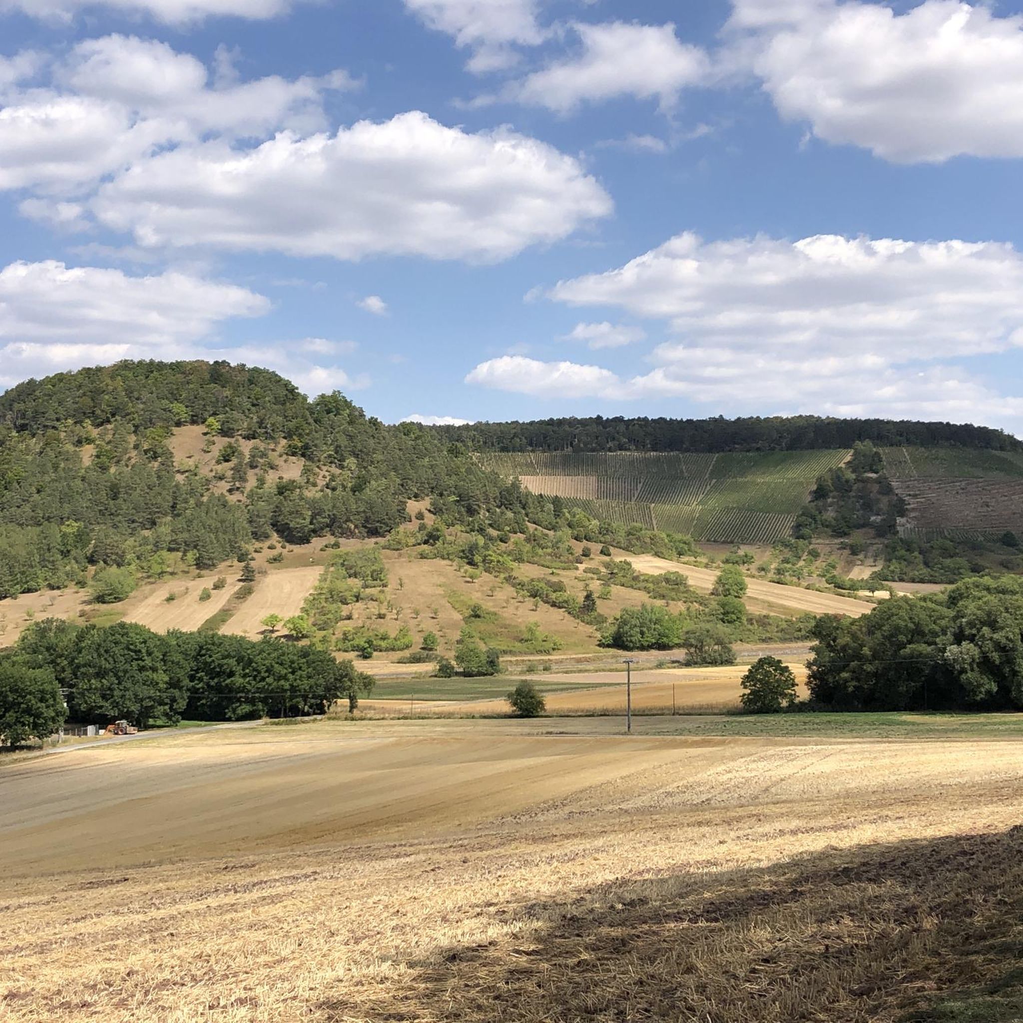
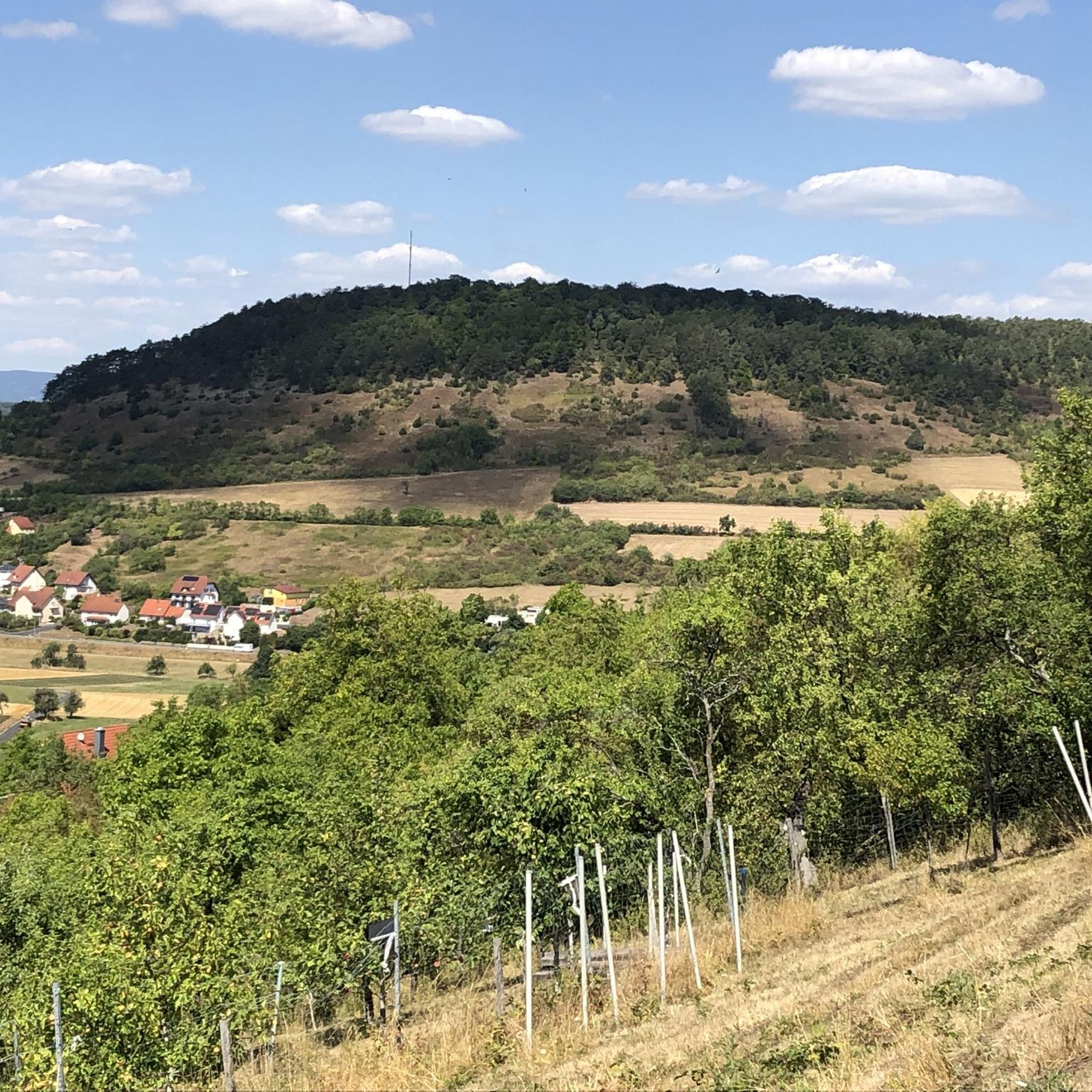
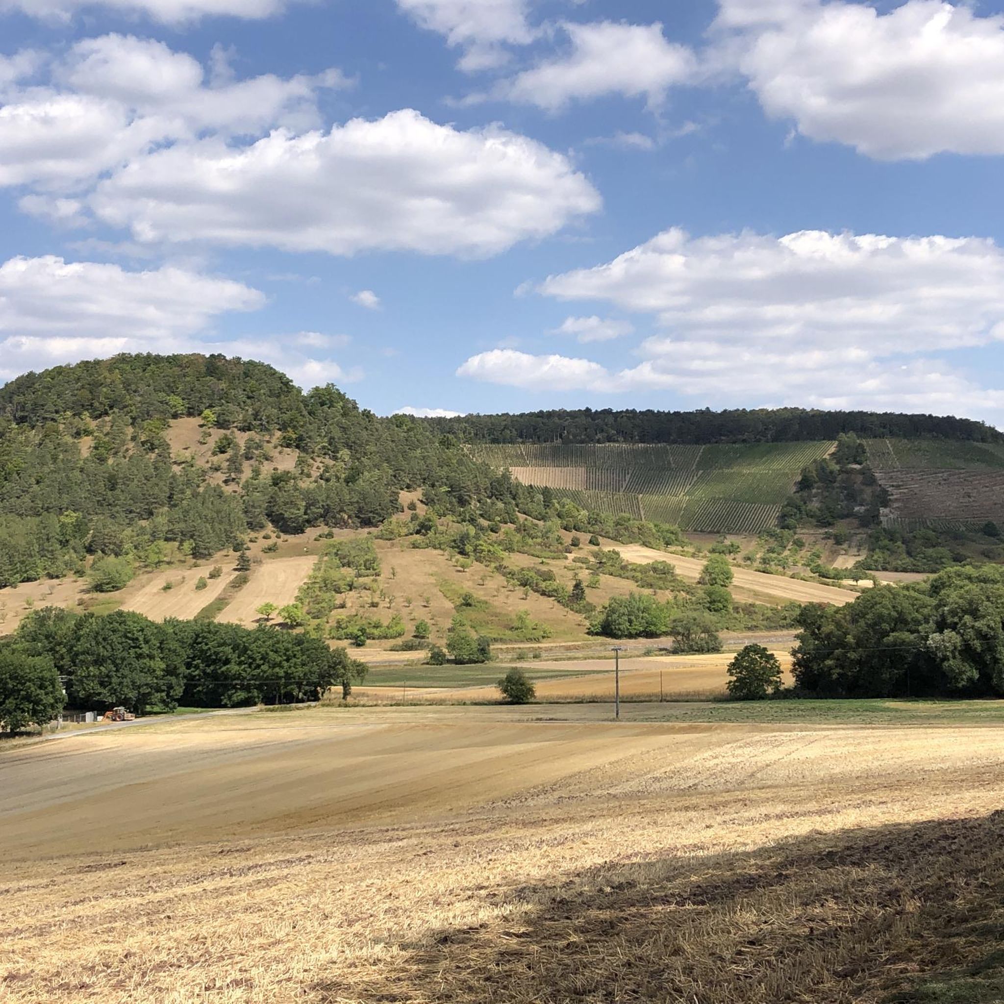
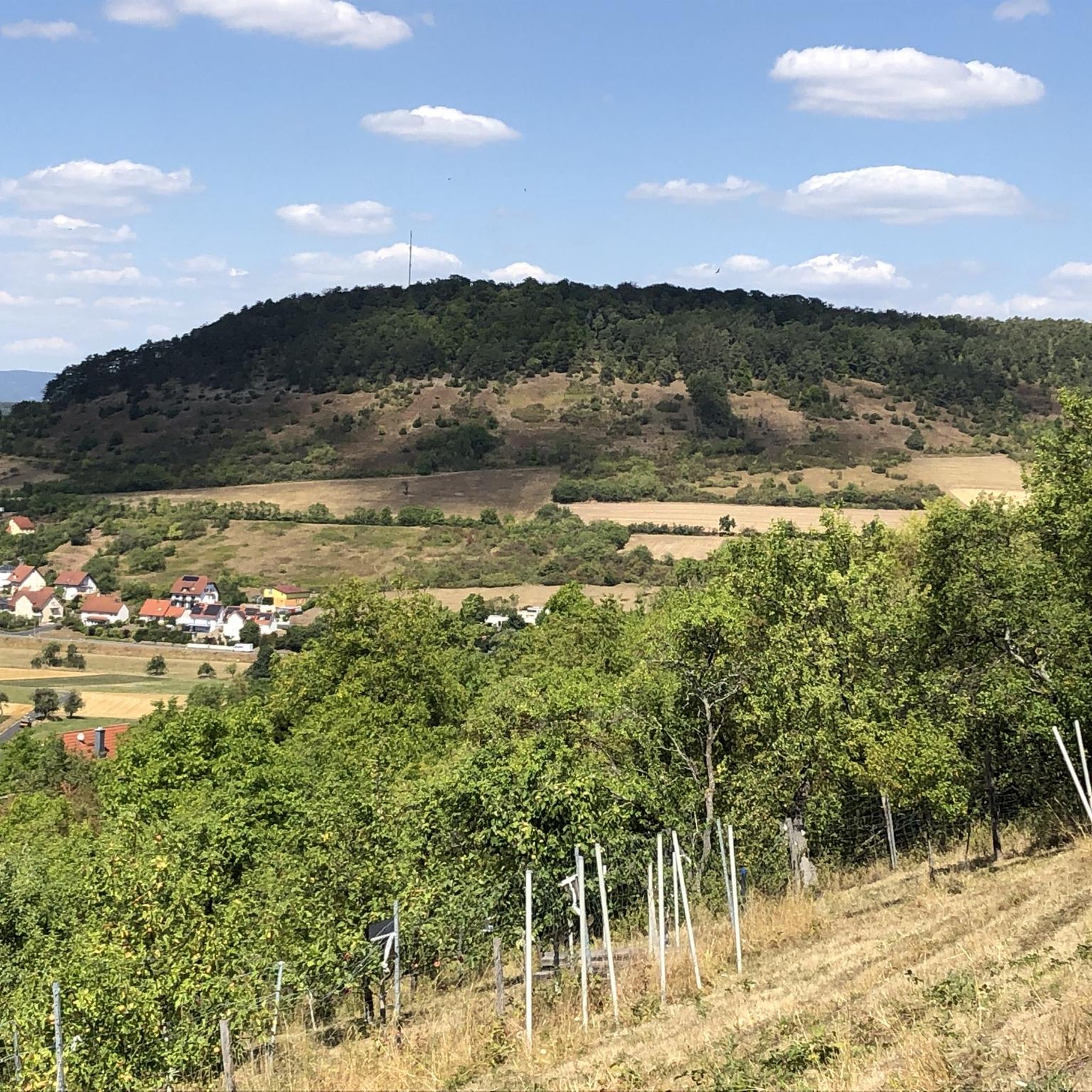
Great place. Beautiful view. 😍
0
0

Beautiful lime kiln with a great view over Machtilshausen.
0
0
Nice rest area on the trail.
0
0

Just sit down, take a breather and enjoy the view
0
0

Wonderful view of the surroundings!
5
0
Frequently Asked Questions
How many hiking trails are available around Sulzthal?
Sulzthal offers a good selection of hiking opportunities, with over 25 trails to explore. These range from easy strolls to more challenging moderate routes, catering to various fitness levels.
What kind of terrain can I expect on hikes around Sulzthal?
The region around Sulzthal features a diverse topography, including scenic paths through forests and vineyards, as well as elevated sections across dry areas with interesting plant life. You'll find well-maintained forest trails and paths along the Franconian Saale, offering a varied hiking experience.
Are there easy hiking options for beginners or casual walkers?
Yes, Sulzthal has 15 easy hiking trails, perfect for beginners or those looking for a relaxed walk. An example is the Holy Cross Chapel Sulzthal loop from Sulzthal, which is 3.3 miles (5.3 km) long and typically takes about 1 hour 32 minutes.
What are the best viewpoints or scenic spots on hikes near Sulzthal?
Many trails in Sulzthal offer beautiful panoramic views, especially across the wider Rhön region, known as the 'land of open vistas.' Routes like the View of the Saale Valley – View of Trimburg Castle loop from Sulzthal provide excellent opportunities to enjoy expansive horizons and views of historical landmarks.
Are there any historical sites or attractions to see while hiking?
Yes, hikers can explore the remnants of Trimburg Castle, which include a castle ditch and some wall remains. During summer weekends, dining options are available at Trimburg. The Trimburg Castle Ruins – View of Trimburg Castle loop from Sulzthal is a great way to experience this historical site.
What kind of natural features or plant life can I expect to see?
The region is rich in flora, with various botanical rarities, especially in May and June. The dry areas are noted for their interesting plant life. Sulzthal is also close to the UNESCO Rhön Biosphere Reserve, which features diverse ecosystems including montane grasslands, moors, colorful mountain meadows, and orchards.
Are there family-friendly hiking trails in Sulzthal?
Many of the circular hiking trails around Sulzthal are suitable for families. The area offers options ranging from easy hikes that are accessible for all fitness levels to more engaging routes, ensuring there's something for everyone in the family.
Are dogs allowed on the hiking trails around Sulzthal?
Generally, dogs are welcome on the hiking trails around Sulzthal. It's always a good idea to keep them on a leash, especially in areas with wildlife or near agricultural land, and to carry water for them, particularly on longer routes.
Are there many circular hiking trails available?
Yes, numerous circular hiking trails are available in the Sulzthal area. These routes provide varied botanical sightings and scenic vistas, allowing you to start and end your hike in the same location without retracing your steps. Many routes, like the Town sign Kleine Sulzthal – Eimforst Yew Natural Monument loop from Sulzthal, are designed as loops.
When is the best time of year to go hiking in Sulzthal?
The best time to hike in Sulzthal is generally from spring to autumn. May and June are particularly rewarding for nature enthusiasts due to the abundance of botanical rarities. The region's diverse landscapes are beautiful throughout these seasons, offering pleasant conditions for exploration.
What do other hikers enjoy the most about hiking in Sulzthal?
The area is highly rated by the komoot community, with an average score of 4.5 stars from over 90 reviews. Hikers often praise the varied terrain, the beautiful paths through forests and vineyards, and the panoramic viewpoints that offer expansive views across the landscape.
Are there any specific trails that combine hiking with local culture or produce?
Yes, the region offers trails that combine hiking with local experiences. The 'Fränkische Saale - Wine Enjoyment Route' is a marked trail designed for those interested in combining hiking with the region's viticulture. Additionally, the Ramsthal Forest and Vineyard Hike highlights the agricultural beauty of the area.
Most popular routes around Sulzthal
Most popular attractions around Sulzthal

Get inspired with the komoot mobile app


Explore more
Browse the best Hikes in other regions.
