The best cycling routes around Sampeyre
4.4
(30)
1,183
riders
23
rides
Touring cycling around Sampeyre is characterized by its alpine setting within Italy's Valle Varaita, at the foot of Monviso in the Cottian Alps. The region features significant mountain passes, including Colle di Sampeyre and Col d'Agnel, which offer challenging ascents and expansive views. Routes often traverse through dense larch and pine forests, such as Bosco dell'Alevé, and open into high alpine meadows. The terrain includes paved mountain roads and historic military routes, providing diverse conditions for touring cyclists.
Best touring cycling routes around Sampeyre
- The most popular touring cycling route is Ascent to Col Agnel and hamlets of the Val Varaita, a 40.2 miles (64.6 km) trail that takes 5 hours 20 minutes to complete. This route features a significant climb to one of the highest border passes in the Alps.
- Another top favourite among local touring cyclists is Ascent to Colle di Sampeyre, a difficult 19.9 miles (32.0 km) path. This route ascends to Colle di Sampeyre, known for its challenging gradients and panoramic mountain views.
- Local touring cyclists also love the La strada dei Cannoni − loop from Sampeyre, a 41.9 miles (67.5 km) trail leading through an old military road, often completed in about 6 hours 16 minutes.
- Touring cycling around Sampeyre is defined by high alpine passes, the majestic Monviso peak, and varied terrain including forests and mountain roads. The network offers options for different ability levels, from demanding climbs to scenic loops.
- The routes in Sampeyre are highly rated by the komoot community with an average score of 4.6 stars from over 20 reviews. More than 1000 touring cyclists have used komoot to explore Sampeyre's varied terrain.
Last updated: June 27, 2026
4.7
(7)
390
riders
64.6km
05:20
1,980m
1,980m
Hard bike ride. Very good fitness required. Mostly paved surfaces. Suitable for all skill levels.
5.0
(3)
81
riders
67.5km
06:16
2,110m
2,120m
Embark on the challenging "La strada dei Cannoni − loop from Sampeyre" for a memorable touring cycling adventure. This difficult route spans 41.9 miles (67.5 km) and features a significant elevation gain of 6937 feet (2114 metres), typically taking around 6 hours and 16 minutes to complete. You will navigate a mix of paved and unpaved sections, including rough gravel and rocky roads, especially after Colle della Ciabra. The trail follows the ridge between the Maira and Varaita Valleys, offering panoramic views of the Maritime and Cottian Alps as you cycle through woods and open high-altitude landscapes.
Plan your visit between June and September, which is the recommended season for riding. Be aware of specific access rules for the historic Strada dei Cannoni; it is reserved exclusively for pedestrians and cyclists on Mondays, Wednesdays, Fridays, Saturdays, and Sundays. Motor vehicles are permitted on Tuesdays and Thursdays, so choose your day accordingly for the best experience. The route's challenging nature means you should have very good fitness, though it generally doesn't require advanced technical skills.
This loop takes you along the historic "Strada dei Cannoni," an 18th-century military road built by King Carlo Emanuele III, though it was never used for warfare. Today, it is a classic route popular with touring cyclists and mountain bikers alike. The ascent to Colle di Sampeyre, part of this route, is even recognized as one of the

Sign up for free
5.0
(4)
113
riders
32.0km
03:00
1,350m
1,350m
The Ascent to Colle di Sampeyre is a difficult touring bicycle route, covering 19.9 miles (32.0 km) with a significant 4440 feet (1353 metres) of elevation gain. This challenging climb, which takes around 2 hours and 59 minutes, winds through forests in its initial sections, offering welcome shade. As you ascend above the timberline, you will be rewarded with spectacular panoramic views, including the majestic Monviso peak and the surrounding Cottian Alps, especially from the ridge near the summit.
When planning your visit, be aware that water sources are scarce along the route; you might find only one primitive fountain after several kilometers, so carry enough water. The road surface can vary, with some sections described as rough, particularly on descents, so exercise caution. The pass has even seen snow and hail during the Giro d'Italia, so check weather conditions before you go.
This classic Italian mountain pass is known for its demanding nature and high-Alpine environment. It has been featured twice in the Giro d'Italia, highlighting its status as a formidable climb. Traffic is generally low, making for a peaceful ascent, and at the top, you can explore the
5.0
(1)
26
riders
47.6km
04:31
2,010m
2,010m
Hard bike ride. Very good fitness required. You may need to push your bike for some segments of this route.
5.0
(6)
143
riders
92.5km
07:26
2,760m
2,760m
Hard bike ride. Very good fitness required. Mostly paved surfaces. Suitable for all skill levels.
Get access to more routes and recommendations from other explorers.
Sign up for free
Already have an account?
Our route recommendations are based on thousands of hikes, rides, and runs completed by other people on komoot.
Start today with a free account
Your next adventure awaits.
Login or Signup
Popular around Sampeyre

The Komoot Torino-Nice Rally
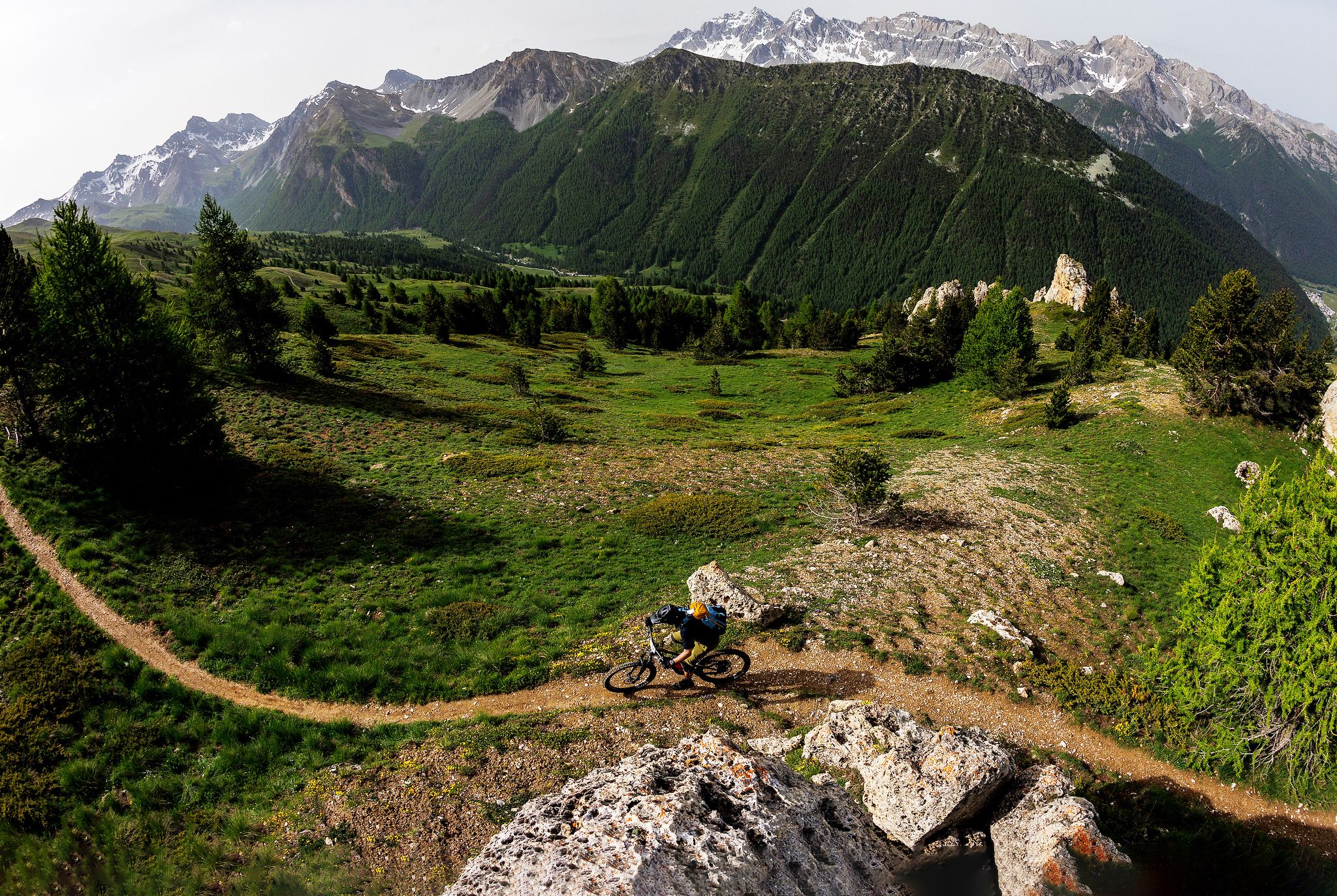
The STONE KING Route – adventure enduro from High Alps to the Med
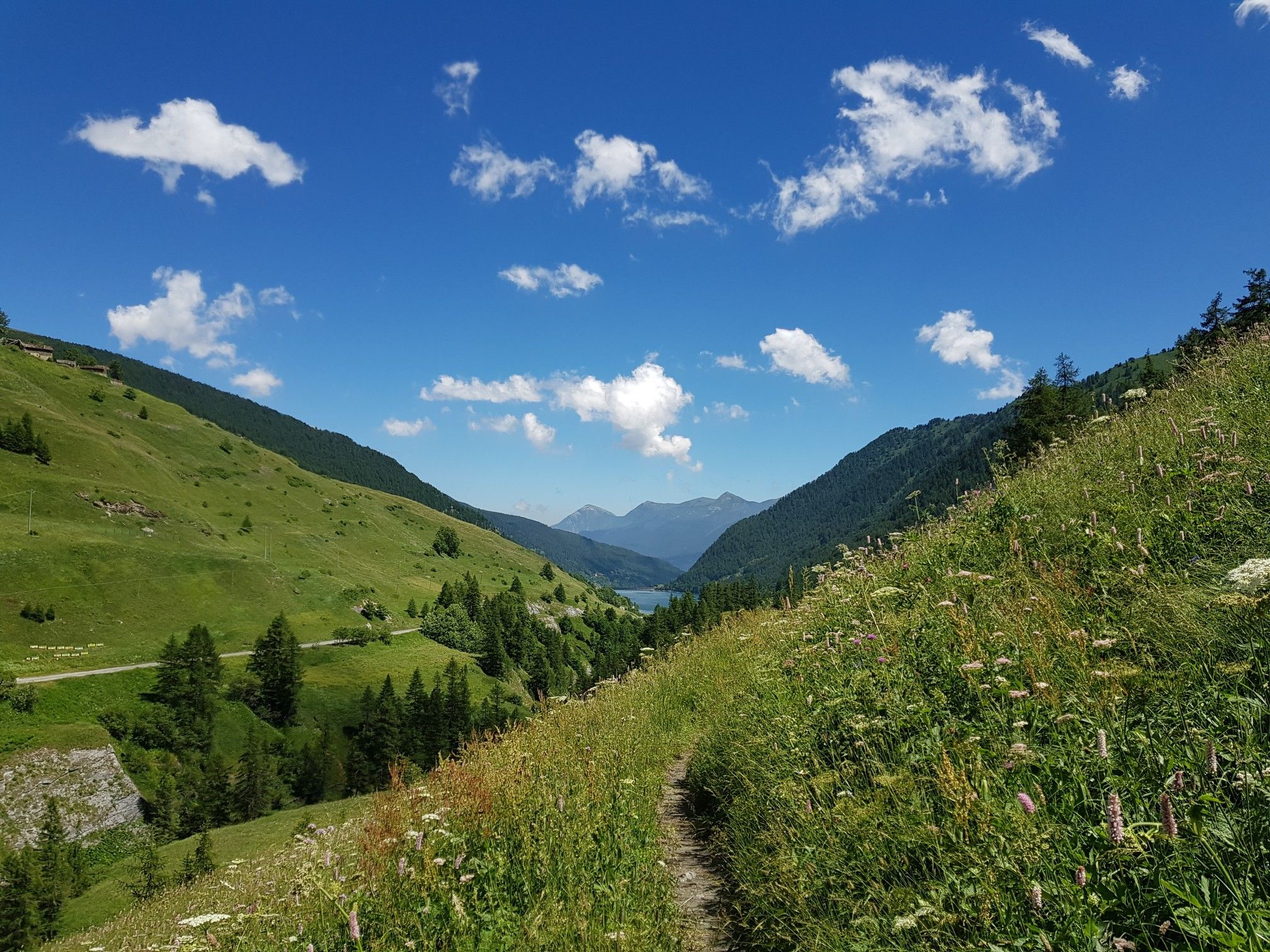
Varaita Valley Trekking – a journey into the lands of Italy’s Monviso
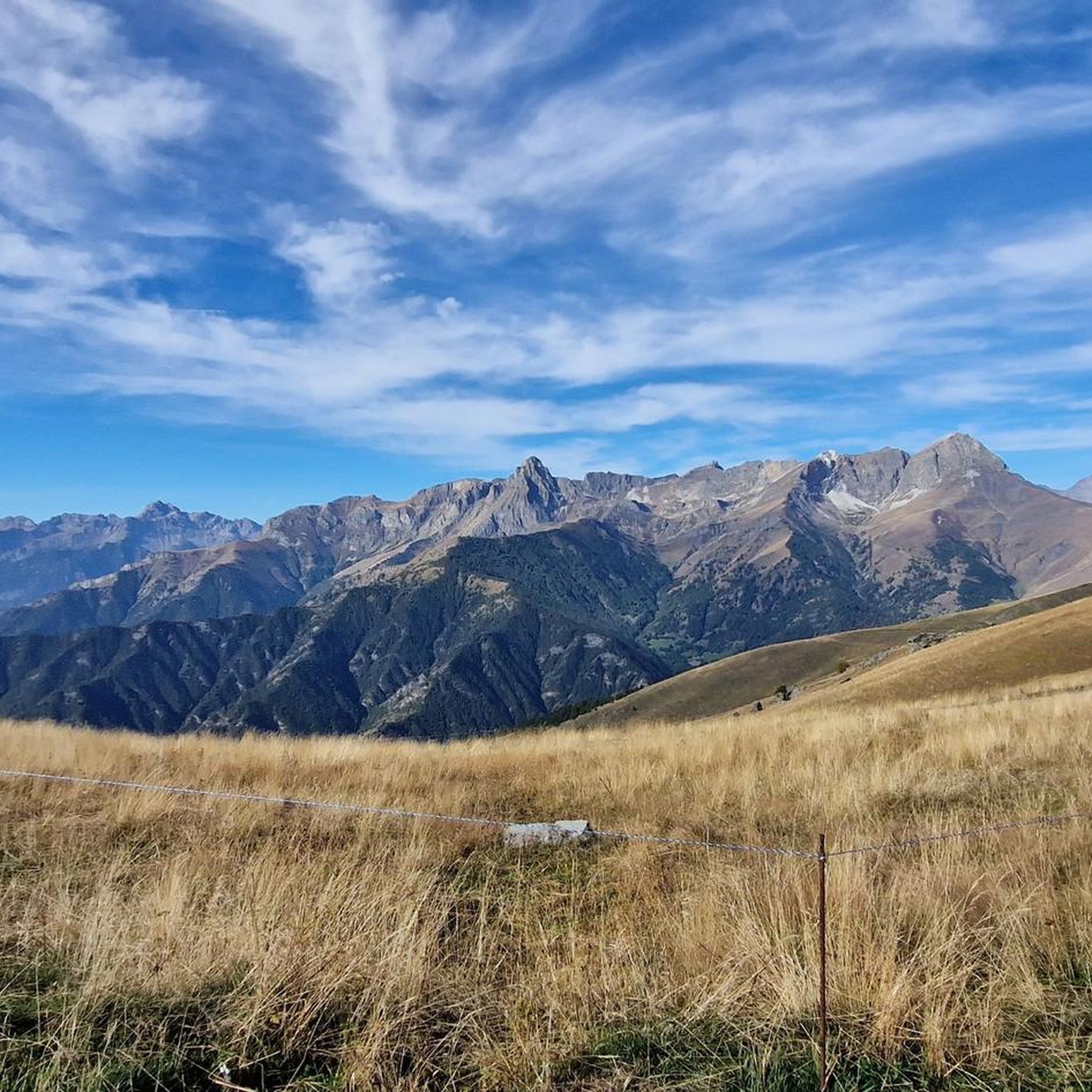
Hiking around Sampeyre
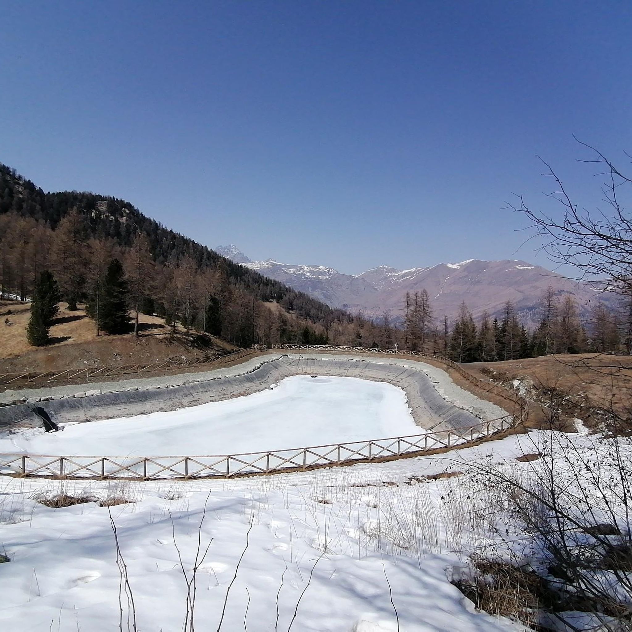
MTB Trails around Sampeyre
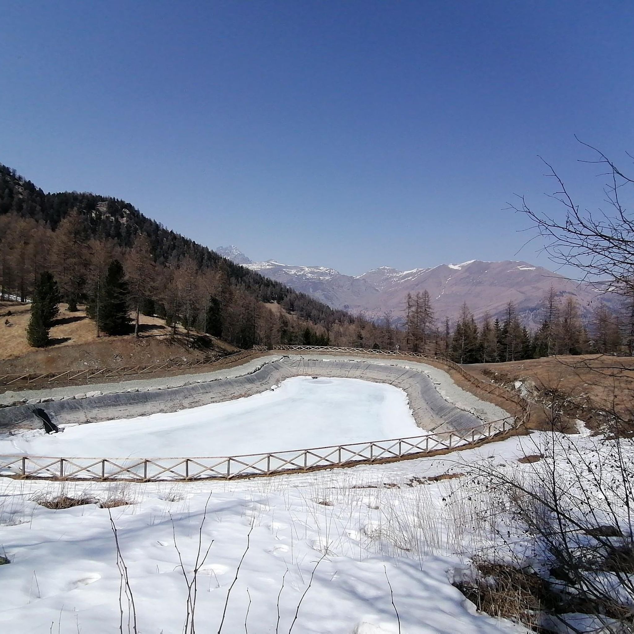
Road Cycling Routes around Sampeyre
Gravel biking around Sampeyre
Mountain Hikes around Sampeyre
Running Trails around Sampeyre
Other adventures around Sampeyre


Tips from the Community

Central village of the Varaita valley, it has a beautiful, well-preserved historic center - unfortunately surrounded by the building expansions of the 1960s, which may have been useful, but are unsightly. Anyway, regardless. The village has all essential services, is central to the valley, offers several nearby excursions - an ideal place for a holiday.
0
0
Frazione di Pontechianale in correspondence with the dam. The highlight is the view of the Pontechianale lake - but the church and the fountain are also worth attention.
0
0
Registered among the most beautiful villages in Italy, and for good reason. A pearl set in the majestic scenery of the Cottian Alps, all restored and cleaned up. A dream village.
0
0

From here you can enjoy a breathtaking view, both towards Italy and France. Unfortunately, I caught it during roadwork and resurfacing, but I'd be curious to see it once it's finished.
0
0

Colle dell'Agnello (2,744 meters above sea level - Col Agnel in French; Còl dl'Agnél in Piedmontese) is an Alpine pass in the Cottian Alps (Monviso Alps), as well as the second-highest road pass in Italy and the third-highest in Europe [N 2], preceded only by the Colle dell'Iseran [N 3] in the French Alps and the Stelvio Pass in the Ortler Alps. Located southwest of Monviso, between Pan di Zucchero and Punta dell'Alp, it connects Italy to France from the Piedmontese municipality of Pontechianale to the French municipality of Molines-en-Queyras in the Hautes-Alpes department [N 4]. It was inaugurated in 1973 by expanding a pre-existing dirt military road; It has been a transit point for several stages of the Giro d'Italia and the Tour de France and a popular destination for summer camps for amateur astronomers, offering one of the observation sites with the darkest, most pristine sky and accessible by normal vehicles.
0
0

the marmottes might cross the road, so take care when going downhill on your bike!
0
0

You can also go down there by mountain bike, with a good S3 level.
1
0

This Colle dell'Agnello is one of the most classic climbs in the Western Alps, and has often been the scene of stages of the Giro d'Italia. Very challenging both for its length and the difference in altitude, and for its altitude (it starts from 1,800 meters in Chianale and reaches almost 2,750 meters on the hill). The views, however, are stunning and worth the effort. The French side is less steep, so those who tackle it during trips lasting several days can plan the climb from France, which is less challenging, and enjoy the descent and the views.
1
0
Frequently Asked Questions
How many touring cycling routes are available around Sampeyre?
There are over 20 touring cycling routes around Sampeyre, offering a variety of experiences for different skill levels. While most are classified as difficult, there are also moderate options available.
What kind of terrain can I expect on touring cycling routes in Sampeyre?
Touring cycling routes in Sampeyre primarily feature challenging alpine terrain, including significant mountain passes like Colle di Sampeyre and Col d'Agnel. You'll encounter paved mountain roads with steep gradients, as well as historic military routes. The scenery often transitions from dense larch and pine forests, such as the Bosco dell'Alevé, to open high alpine meadows.
Are there any family-friendly touring cycling routes in Sampeyre?
While many routes are challenging, the Valle Varaita is developing the Ciclovia della Valle Varaita, an ongoing project aiming to create easier bicycle routes. These will incorporate dirt roads, walking paths, and cycling paths more suitable for families and leisure riders. For specific family-friendly options, it's best to check local information once the Ciclovia is fully established.
Can I bring my dog on touring cycling routes in Sampeyre?
Generally, dogs are welcome on trails in the Valle Varaita, but it's crucial to keep them on a leash, especially in protected areas, near livestock, or when encountering other trail users. Always ensure your dog is well-behaved and that you clean up after them to preserve the natural environment.
What are some notable natural landmarks or viewpoints along the cycling routes?
The region is rich in natural beauty. Along your rides, you might encounter the majestic Monviso peak, the highest in the Cottian Alps. Other highlights include Lake Fiorenza, the serene Lake Bagnour within the Bosco dell'Alevé, and the Sampeyre Pass itself, which offers breathtaking panoramic views. The Statue of the Virgin Mary at Colle di Sampeyre also provides a significant viewpoint.
Are there any circular touring cycling routes starting from Sampeyre?
Yes, there are several circular routes. A popular option is the La strada dei Cannoni − loop from Sampeyre, which takes you along an old military road. Another challenging loop is the Sampeyre – Chianale loop from Sampeyre, offering extensive climbing and scenic views.
What is the best time of year for touring cycling in Sampeyre?
The best time for touring cycling in Sampeyre is typically from late spring to early autumn (May to October). During these months, the high alpine passes are generally clear of snow, and the weather is more favorable. However, always check local weather conditions and pass openings, especially for higher elevations like Col d'Agnel, which can remain snow-covered into early summer.
Where can I find parking when cycling in Sampeyre?
Sampeyre offers various parking options, particularly in the town center. For routes accessing specific passes like Colle di Sampeyre, there are usually designated parking areas at the base or starting points of the climbs. It's advisable to check local signage upon arrival for the most current parking regulations and availability.
Are there options for bike rental in Sampeyre?
Yes, the Valle Varaita region, including Sampeyre, provides services for cyclists. You can find bike rentals, including e-bikes, as well as charging stations and minor repair facilities. This makes it convenient for visitors who prefer not to travel with their own equipment.
What do other cyclists say about touring cycling in Sampeyre?
The touring cycling routes around Sampeyre are highly rated by the komoot community, with an average score of 4.6 stars from over 20 reviews. Cyclists often praise the challenging climbs, the stunning alpine scenery, and the sense of accomplishment from conquering passes like Col d'Agnel and Colle di Sampeyre.
Are there any routes that connect Sampeyre to other valleys or regions?
Yes, Sampeyre is strategically located for connecting rides. The Colle di Sampeyre links the Varaita and Maira Valleys, while the Col d'Agnel (Colle dell'Agnello) connects the Valle Varaita to the Queyras region in France. These passes offer opportunities for multi-day tours or longer, more challenging rides across different regions.
What cultural attractions can I explore in Sampeyre after a ride?
Sampeyre offers a rich cultural experience. You can visit the 15th-century Parrocchiale dei Santi Pietro e Paolo church with its Romanesque architecture. The town also keeps ancient traditions alive, such as the 'Baìo di Sampeyre' (a folkloric re-enactment held every five years) and the annual 'Cianto Viol'. For a unique experience, explore the Sarvanot Trail, a playful path through an enchanted forest leading to the Tumpi la Pisso waterfall.
Most popular routes around Sampeyre
Most popular attractions around Sampeyre

Get inspired with the komoot mobile app


Explore more
Browse the best Cycling routes in other regions.
