The best walks and hikes around Bubbiano
4.3
(268)
1,113
hikers
79
hikes
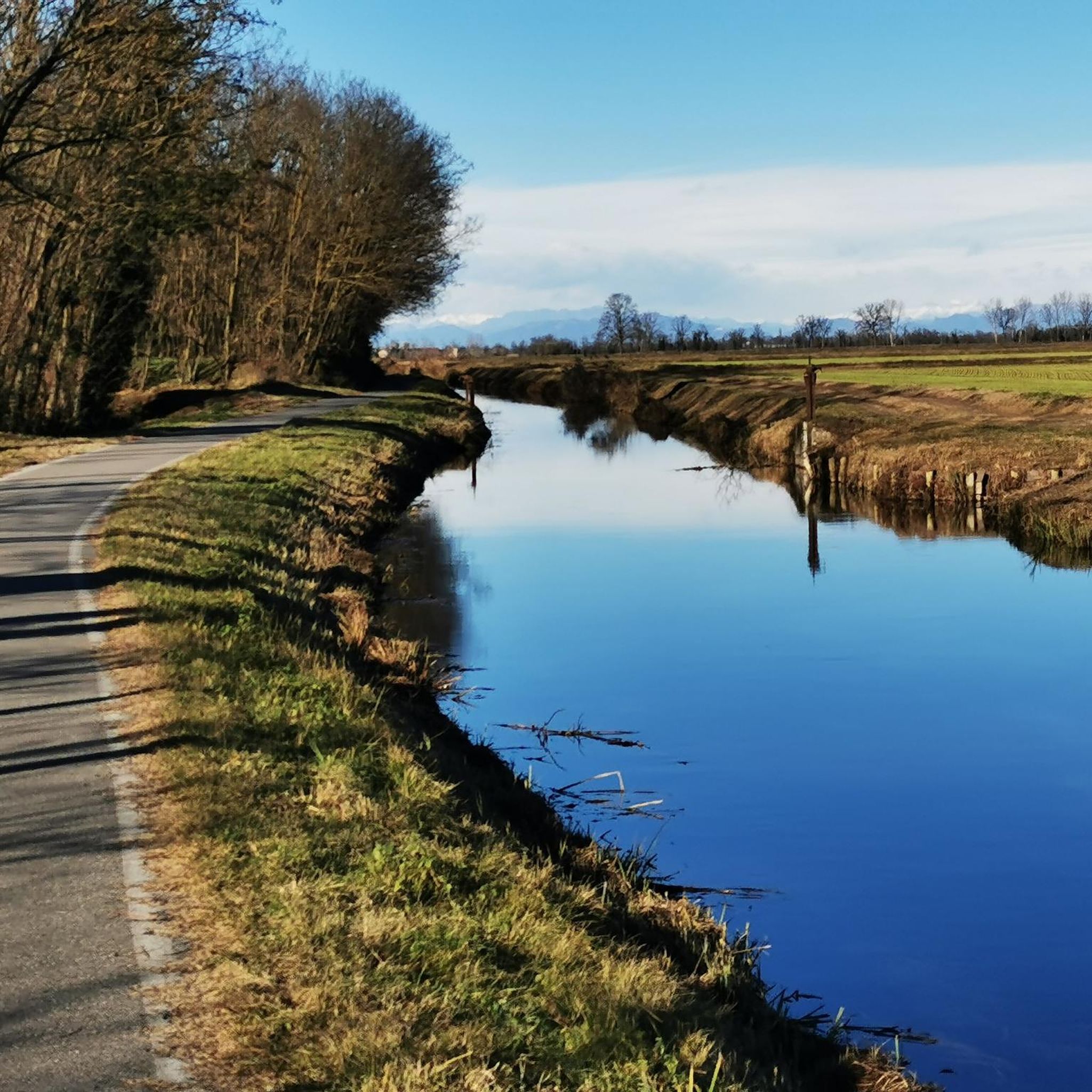
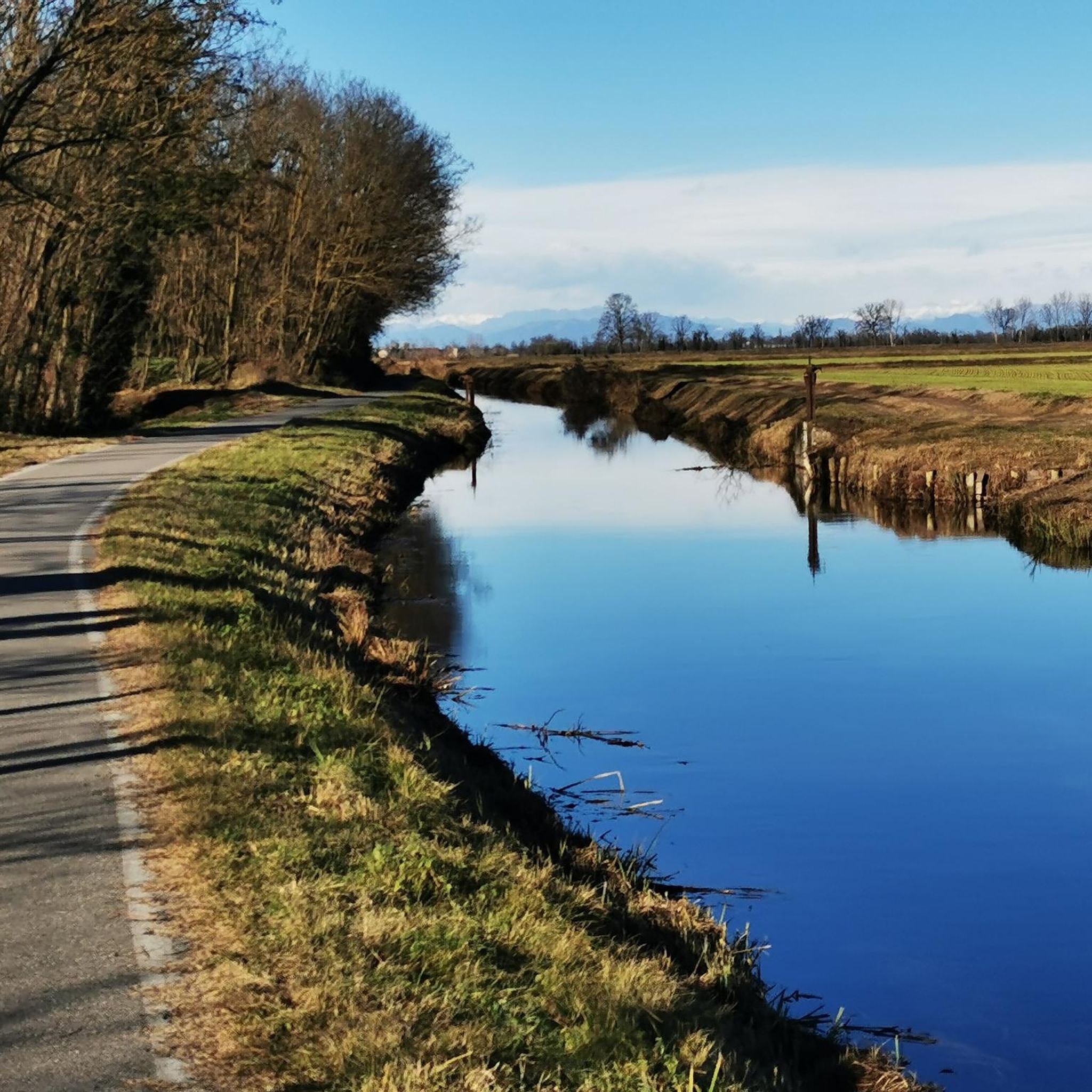
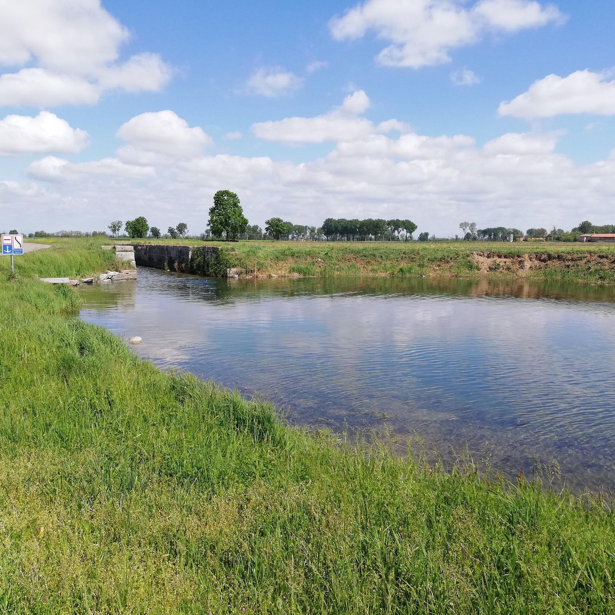
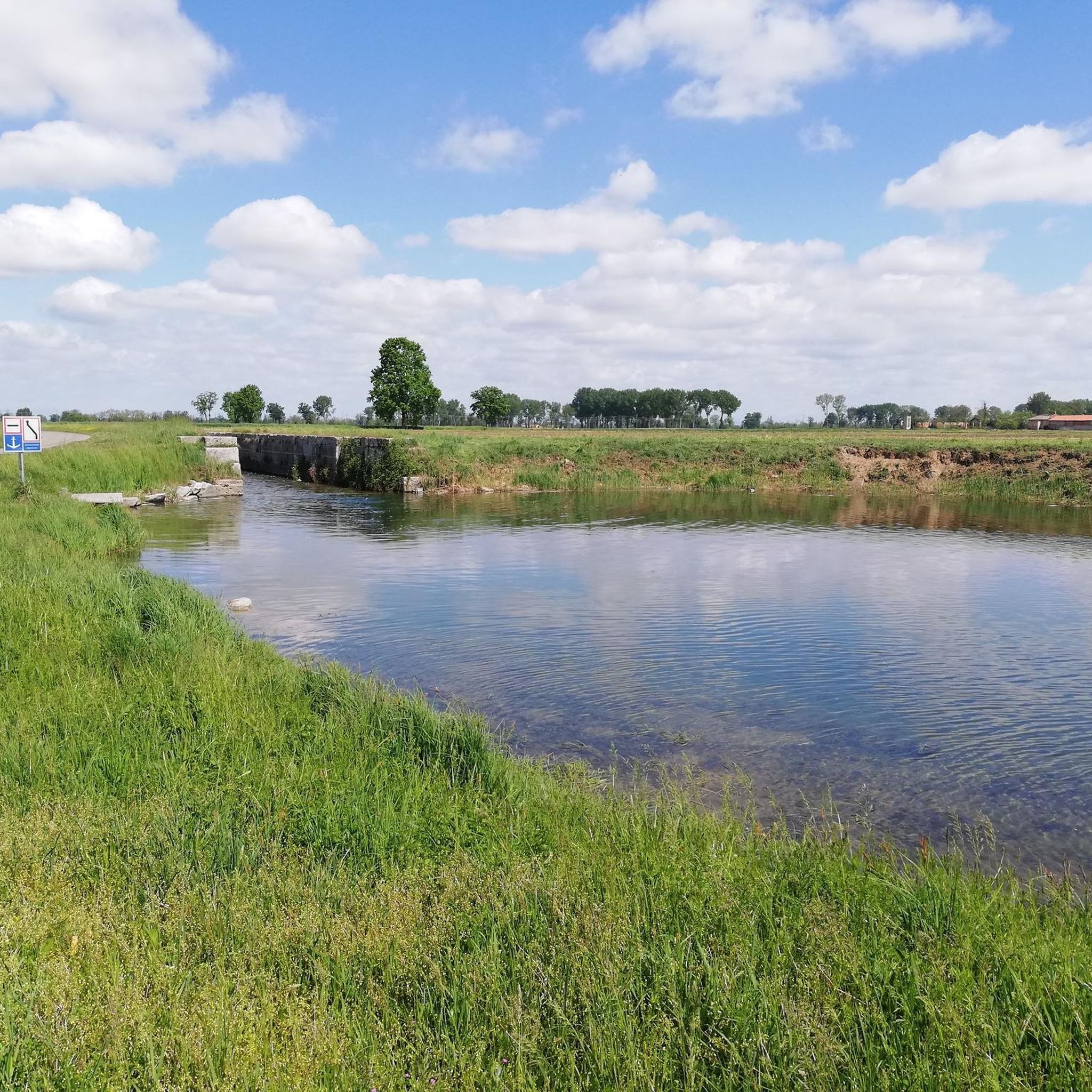
Hiking around Bubbiano offers routes through a largely flat landscape, characterized by waterways and agricultural areas. The region features paths connecting small towns and historical sites, with minimal elevation changes. Trails often follow canals or lead through open countryside, providing accessible options for outdoor activity. This area is suitable for those seeking relaxed walks rather than challenging ascents.
Best hiking trails around Bubbiano
- The most popular hiking route is From Besate to the port of Motta Visconti – loop tour, a 7.3 miles (11.7 km) trail that takes 3 hours 0 minutes to complete. This moderate loop connects local towns and follows a waterway.
- Another top favourite among local hikers is From Besate to the Abbey of Morimondo passing through the Naviglio di Bereguardo – loop tour, a moderate 10.3 miles (16.6 km) path. This route passes by historical sites and the Naviglio di Bereguardo canal.
- Local hikers also love the Map of Bereguardo – Bereguardo Castle loop from Motta Visconti, a 6.8 miles (10.9 km) trail leading through historical areas around a castle, often completed in about 2 hours 45 minutes.
- Hiking around Bubbiano is defined by flat terrain, canals, and historical points of interest. The network offers options for easy to moderate ability levels.
- The routes in Bubbiano are highly rated by the komoot community with an average score of 4.3 stars from over 240 reviews. More than 1000 hikers have used komoot to explore Bubbiano's varied terrain.
Last updated: July 1, 2026
4.3
(9)
22
hikers
11.7km
03:00
50m
50m
Moderate hike. Good fitness required. Mostly accessible paths. Sure-footedness required.
3
hikers
Moderate hike. Good fitness required. Easily-accessible paths. Suitable for all skill levels.

Sign up for free
3.9
(9)
30
hikers
10.9km
02:45
10m
10m
Moderate hike. Good fitness required. Easily-accessible paths. Suitable for all skill levels.
4.0
(5)
10
hikers
19.6km
05:02
80m
80m
Hard hike. Very good fitness required. Easily-accessible paths. Suitable for all skill levels.
4.3
(3)
11
hikers
10.4km
02:38
10m
10m
Moderate hike. Good fitness required. Easily-accessible paths. Suitable for all skill levels.
Get access to more routes and recommendations from other explorers.
Sign up for free
Already have an account?
Our route recommendations are based on thousands of hikes, rides, and runs completed by other people on komoot.
Start today with a free account
Your next adventure awaits.
Login or Signup
Tips from the Community

The former Church of San Bernardo in Morimondo (MI) is a building of medieval origin dating back to the 12th century. Located in Via Roma, 8, at the entrance to the historic center, it is a private and currently deconsecrated structure, which preserves the original flat apse and a Lombard terracotta bell tower. The building, which once served as the parish church for the settlement under the guidance of the monks, has a single-nave layout heavily renovated at the end of the 17th century. Today, the former church is one of the first evocative stops in the village and overlooks the cobblestones leading to the nearby and more famous Abbey of Santa Maria di Morimondo. Together with the surrounding rural dwellings, it forms a picturesque view greatly appreciated by visitors exploring the area.
0
0

Abbey of Morimondo
0
0

Nice road, not to be taken during the hottest hours as it is exposed to the sun and mosquitoes
0
0

Very beautiful stretch in the Ticino park!
0
0

morimondo offers hidden pearls
2
0
Very nice and characteristic bridge. A little dangerous to climb when arriving from Morimondo
2
0
Frequently Asked Questions
How many hiking trails are available around Bubbiano?
There are over 75 hiking trails around Bubbiano, catering to various preferences. The region is known for its largely flat landscape, making many routes accessible for relaxed walks.
Are there easy hiking options in Bubbiano?
Yes, Bubbiano offers over 35 easy hiking routes. The terrain is generally flat, characterized by waterways and agricultural areas, which makes it ideal for those seeking less strenuous walks.
What are the typical lengths of hikes in the Bubbiano area?
Hikes in Bubbiano vary in length, with many popular routes ranging from 6 to 10 miles (approximately 10 to 16 km). For example, the Distance Marker Stone – Ponte della Conca loop from Rosate is about 6.5 miles (10.4 km) long.
Are there family-friendly hiking trails in Bubbiano?
Given the predominantly flat terrain and minimal elevation changes, many of Bubbiano's trails are suitable for families. Routes often follow canals or pass through open countryside, providing pleasant and accessible options for all ages.
Can I find circular walking routes around Bubbiano?
Yes, Bubbiano features several circular walking routes. Many trails are designed as loops, allowing you to start and end at the same point. An example is the Map of Bereguardo – Bereguardo Castle loop from Motta Visconti.
What kind of historical sites or landmarks can I see while hiking in Bubbiano?
The Bubbiano area is rich in historical points of interest. You can explore sites like the Naviglio di Bereguardo, an ancient canal, or visit the area around the Bereguardo Castle. Many routes connect small towns with historical significance.
What do other hikers enjoy most about hiking in Bubbiano?
The komoot community highly rates the Bubbiano area, with an average score of 4.3 stars from over 240 reviews. Hikers often praise the peaceful canal-side paths, the flat and accessible terrain, and the opportunity to explore historical sites and charming local towns.
Are the hiking trails in Bubbiano suitable for dogs?
While specific regulations can vary, the open countryside and canal paths around Bubbiano are generally dog-friendly. It's always recommended to keep dogs on a leash, especially near agricultural areas or wildlife, and to carry water for them.
When is the best time of year to hike in Bubbiano?
The best time to hike in Bubbiano is typically during spring and autumn when the weather is mild and pleasant. These seasons offer comfortable temperatures for walking and beautiful scenery along the waterways and agricultural fields. Summer can also be enjoyable, especially in the mornings or late afternoons.
Are there any attractions or points of interest near the hiking trails in Bubbiano?
Yes, there are several points of interest. You can discover the historic Gaggiano Bridge, explore the Alzaia Naviglio Grande Cycle Path, or observe the Lock on the Naviglio di Bereguardo in Abbiategrasso, all of which are close to various hiking routes.
Can I hike in Bubbiano during winter?
Winter hiking in Bubbiano is possible, especially given the flat terrain. While some paths might be muddy after rain or snow, the lack of significant elevation makes them generally accessible. Dress warmly and check local weather conditions before heading out.
Are there any routes that pass by the Naviglio Grande?
Yes, some routes in the wider Bubbiano area offer views or pass near the Naviglio Grande. For instance, you can find sections near Naviglio Grande at Abbiategrasso, providing scenic canal-side walking experiences.
Most popular attractions around Bubbiano

Get inspired with the komoot mobile app


Explore more
Browse the best Hikes in other regions.
