The best road cycling routes around Flattach
4.8
(71)
2,639
riders
28
rides
Road cycling routes around Flattach are situated within the Hohe Tauern National Park in Austria, characterized by high alpine scenery and the Möll Valley. The region features diverse terrain, including the Möll River and surrounding mountains, offering varied cycling experiences. Cyclists can navigate routes through valleys, past gorges, and along panoramic roads, with elevations ranging from gentle inclines to demanding ascents. This landscape provides a comprehensive setting for road cycling.
Best road cycling routes around Flattach
- The most popular road cycling route is Brückenwirt – Drau Bridge Sachsenburg loop from Obervellach, a 44.4 miles (71.5 km) trail that takes 3 hours 41 minutes to complete. This moderate route offers views of the Drau Valley.
- Another top favourite among local road cyclists is Puch – Drau Bridge Sachsenburg loop from Mallnitz-Obervellach, a difficult 88.0 miles (141.6 km) path. This route features significant elevation gain through the scenic Möll Valley.
- Local road cyclists also love the Maiden's Leap Waterfall – Mautturm Winklern loop from Groppenstein Castle, a 63.6 miles (102.4 km) trail leading through alpine landscapes and past natural features, often completed in about 4 hours 42 minutes.
- Road cycling around Flattach is defined by high alpine scenery, the Möll Valley, and dramatic gorges. The network offers options for different ability levels, from leisurely rides to demanding climbs.
- The routes in Flattach are highly rated by the komoot community with an average score of 4.8 stars from over 70 reviews. More than 2,800 road cyclists have used komoot to explore Flattach's varied terrain.
Last updated: July 8, 2026
5.0
(9)
341
riders
68.7km
03:31
670m
670m
Moderate road ride. Good fitness required. Some segments of this route may be unpaved and difficult to ride.
4.5
(4)
263
riders
142km
06:22
1,390m
1,390m
Hard road ride. Very good fitness required. Some segments of this route may be unpaved and difficult to ride.

Sign up for free
5.0
(3)
114
riders
102km
04:42
1,090m
1,090m
Hard road ride. Very good fitness required. Mostly well-paved surfaces and easy to ride.
3.5
(4)
52
riders
Hard road ride. Very good fitness required. Some segments of this route may be unpaved and difficult to ride.
49
riders
77.5km
04:00
1,260m
1,260m
Hard road ride. Very good fitness required. Mostly well-paved surfaces and easy to ride.
Get access to more routes and recommendations from other explorers.
Sign up for free
Already have an account?
Our route recommendations are based on thousands of hikes, rides, and runs completed by other people on komoot.
Start today with a free account
Your next adventure awaits.
Login or Signup
Popular around Flattach
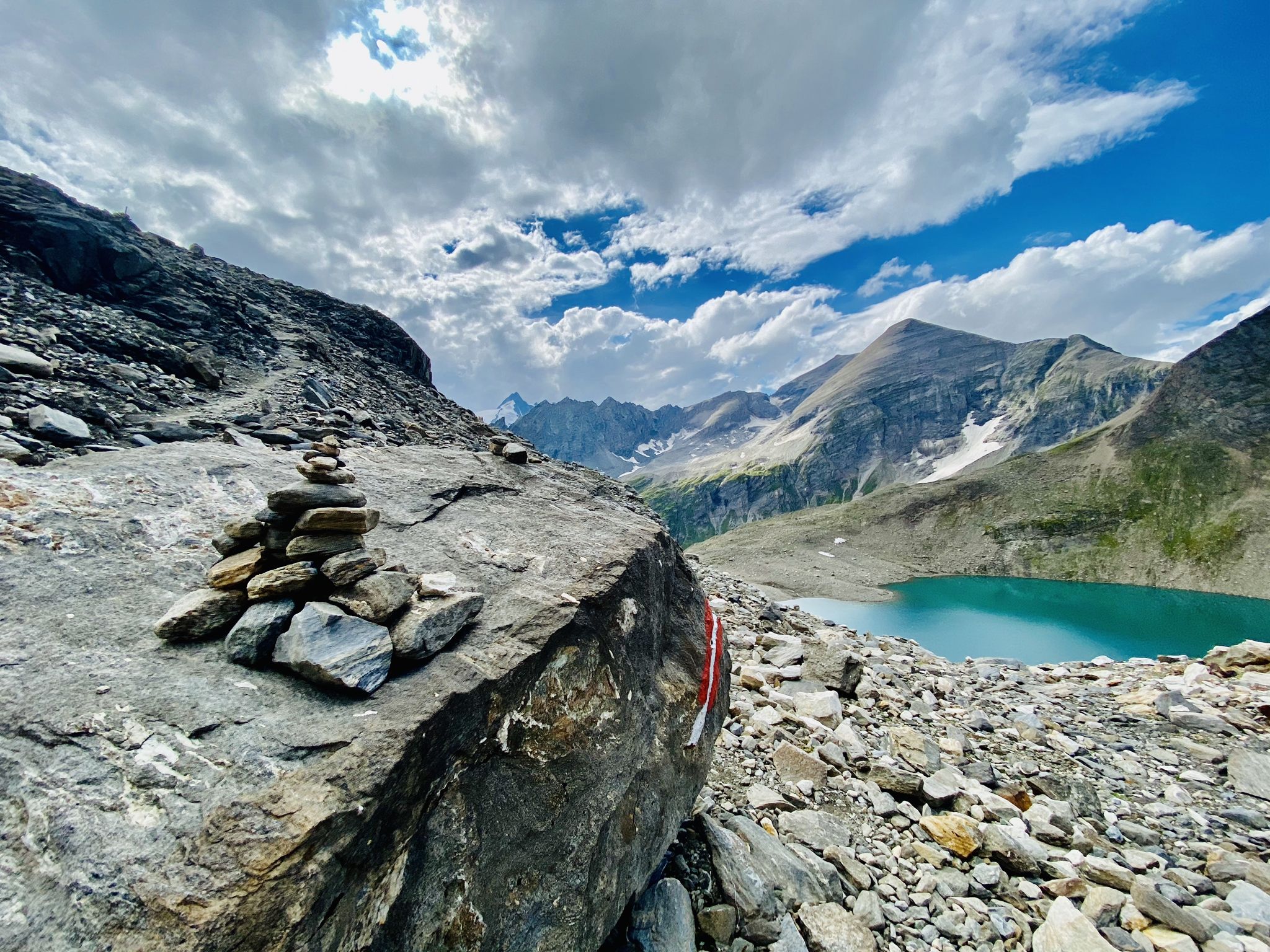
The Tauernhöhenweg – Once across the Hohe Tauern

Alpe-Adria-Trail: My long-distance hike from the glacier to the sea
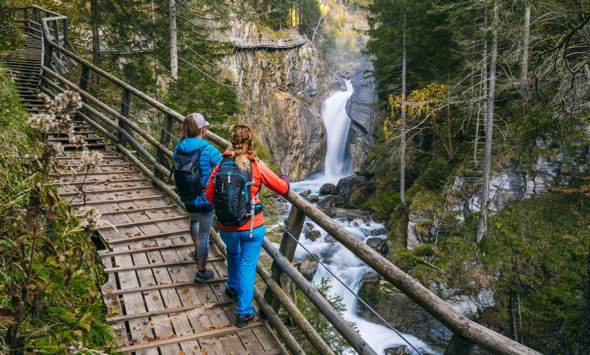
Experiences for all the senses – gorge hikes in the High Tauern

From the Grossglockner to the sea on the Alpe Adria Trail
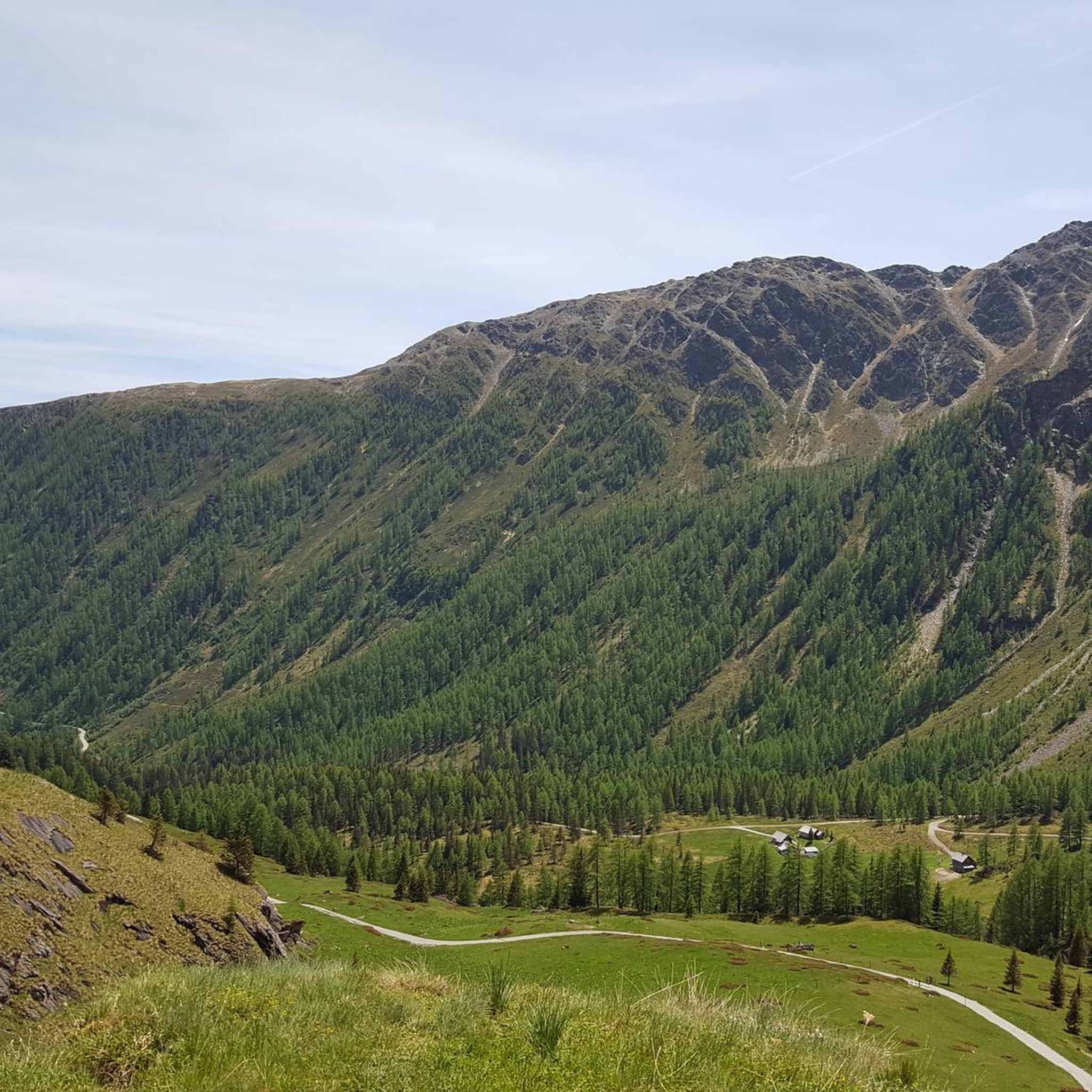
Hiking around Flattach
Cycling around Flattach
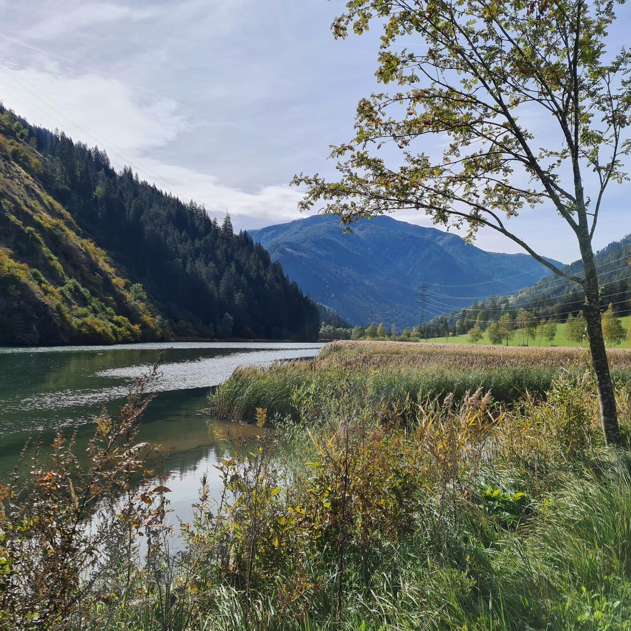
MTB Trails around Flattach

Mountain Hikes around Flattach
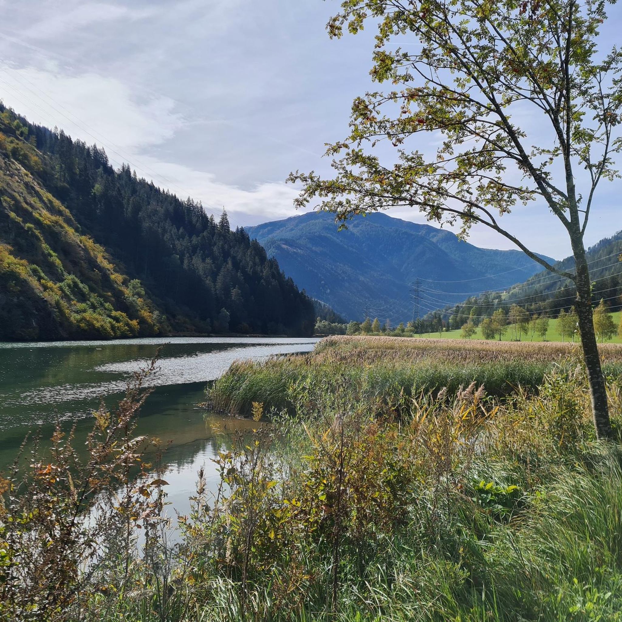
Running Trails around Flattach
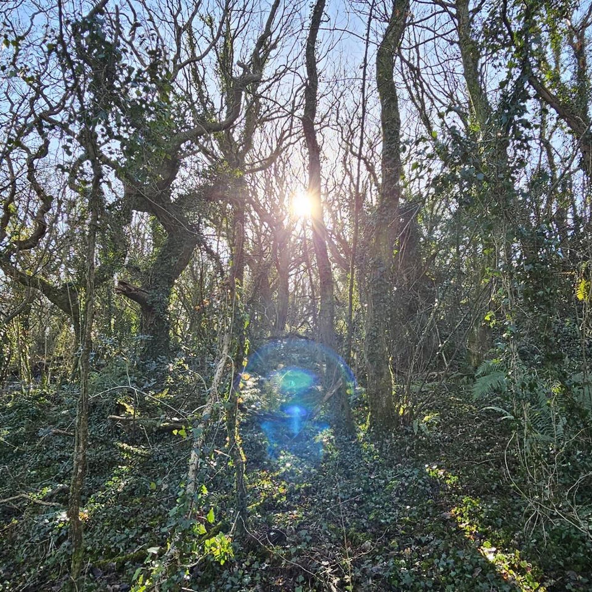
Gravel biking around Flattach
Other adventures around Flattach


Tips from the Community

The Lienz Dolomites are always a fantastic sight
0
0

The church and the historic old town are absolutely worth seeing!
1
0

The Rottau power plant and the Rottau balancing reservoir constitute the main stage of the Malta power plants in the Möll Valley. The water flows from the Galgenbichel reservoir and the Gößkar reservoir to the power plant via a pressure tunnel and a two-line pressure pipeline. A large portion of the water from this main stage is then dammed together with the water from the Möll River at the Rottau basin weir and subsequently fed via the open headwater canal and the Sachsenweg tunnel to the lower stage of the Malta power plants for further energy generation.
0
0

A beautiful view of the bridge
0
0

A nice view up, no idea what that is.
0
1
The bike path from Mallnitz to Spittal is well signposted! Some sections require chunkier tires! 🚵♂️ There's plenty of interesting things to see and some great places to stop for a break!
2
0
The bike path from Mallnitz to Spittal is well signposted! Some sections require chunkier tires! 🚵♂️ There's plenty of interesting things to see and some great places to stop for a break!
2
0
The bike path from Mallnitz to Spittal is well signposted! Some sections require chunkier tires! 🚵♂️
5
0
Frequently Asked Questions
How many road cycling routes are available around Flattach, and what are their difficulty levels?
There are nearly 30 road cycling routes around Flattach. The network offers a good mix for various skill levels, with about 2 easy routes, 11 moderate routes, and 16 challenging routes featuring significant elevation gains.
Are there family-friendly road cycling routes in Flattach?
Yes, Flattach offers routes suitable for families, particularly those with minimal elevation gain along the Möll Valley. While specific 'easy' routes are available, it's always recommended to check the route details for distance and elevation to ensure it matches your family's fitness level. The Brückenwirt – Drau Bridge Sachsenburg loop from Obervellach is a moderate option that offers views of the Drau Valley, which might be suitable for more experienced families.
Where can I find challenging road cycling routes with significant climbs?
For cyclists seeking a challenge, Flattach is situated in an alpine region with demanding ascents. Routes like the Puch – Drau Bridge Sachsenburg loop from Mallnitz-Obervellach cover over 88 miles with significant elevation gain through the scenic Möll Valley. Another demanding option is the Mautturm Winklern – Iselsberg Pass loop from Flattach, which features over 1,200 meters of climbing.
What natural features and landmarks can I see along the road cycling routes?
Road cycling routes around Flattach offer stunning views of the Hohe Tauern National Park, the Möll Valley, and the Drau Valley. You can encounter dramatic natural monuments such as the Ragga gorge and waterfalls and the impressive Groppenstein Waterfall. Some routes also pass by serene lakes like Stappitzer Lake. The Maiden's Leap Waterfall – Mautturm Winklern loop from Groppenstein Castle specifically leads through alpine landscapes and past natural features.
Are there circular road cycling routes available in Flattach?
Yes, many of the road cycling routes around Flattach are designed as loops, allowing you to start and end at the same point. Examples include the popular Brückenwirt – Drau Bridge Sachsenburg loop from Obervellach and the challenging Puch – Drau Bridge Sachsenburg loop from Mallnitz-Obervellach.
What is the best time of year for road cycling in Flattach?
The best time for road cycling in Flattach is generally from spring through autumn. During these seasons, the weather is more favorable, and the alpine roads are typically clear of snow. While the Mölltal Glacier offers year-round high-alpine experiences, road cycling is most enjoyable when the valleys and lower mountain roads are accessible and warm.
Are there parking facilities for road cyclists near the trailheads?
Yes, Flattach and the surrounding areas generally offer parking facilities, especially in town centers and near popular starting points for outdoor activities. It's advisable to check specific route descriptions or local signage for designated cyclist parking areas, particularly when planning to access routes within the Hohe Tauern National Park.
Can I use public transport with my bike in the Flattach area?
Public transport options in the Flattach area, such as local buses and the Mölltaler Glacier Railway, may offer facilities for transporting bicycles. The Mölltaler Glacier Railway, for instance, provides a unique opportunity to transport bikes to high-alpine areas for cycling at higher altitudes. It's recommended to check with the specific transport provider for their current policies and any associated fees for bike transport.
What do other road cyclists enjoy most about road cycling in Flattach?
The road cycling routes around Flattach are highly rated by the komoot community, with an average score of 4.8 stars from over 70 reviews. Cyclists often praise the magnificent high-alpine surroundings, the diverse terrain ranging from comfortable valley rides to demanding climbs, and the stunning natural features like gorges and waterfalls.
Are there any specific permits required for road cycling in the Hohe Tauern National Park?
Generally, road cycling on public roads within the Hohe Tauern National Park does not require a special permit. However, certain restricted areas or specific trails might have regulations. It's always best to respect local signage and regulations, especially concerning protected natural areas. For detailed information, you can consult the official Hohe Tauern National Park visitor information.
Are there bike-friendly cafes or accommodations along the routes or in Flattach?
Flattach is a destination for outdoor enthusiasts, and as such, you can find various cafes, restaurants, and accommodations that cater to cyclists. Many establishments in the region are accustomed to welcoming active guests. It's a good idea to check for 'bike-friendly' labels or inquire directly with accommodations about amenities like secure bike storage or repair facilities.
Can I find routes that combine cycling with views of the Mölltal Glacier?
While the Mölltal Glacier itself is a high-alpine area, some road cycling routes in the region offer panoramic views of the surrounding mountains, including glimpses of the glacier. The Mölltal Glacier Railway also provides a unique way to access high-alpine terrain, allowing you to experience the glacier's proximity, though specific road cycling directly to the glacier's base might be limited to certain access roads.
Most popular attractions around Flattach

Get inspired with the komoot mobile app


Explore more
Browse the best Road cycling routes in other regions.
