The best walks and hikes around Livraga
4.1
(107)
457
hikers
84
hikes
Hiking around Livraga, a small agricultural town in Italy's Lombardy region, offers trails through rural landscapes. The immediate surroundings are characterized by agricultural areas, local paths, and small hills, with elevations generally under 200 meters. The wider Province of Lodi provides access to riverbanks, such as those along the Adda River, and walking paths alongside the Navigli canals. This region is suitable for leisurely walks and exploring the tranquil countryside.
Best hiking trails around Livraga
- The most popular hiking route…
Last updated: July 15, 2026
4.0
(1)
16
hikers
Moderate hike. Good fitness required. Easily-accessible paths. Suitable for all skill levels.
4.3
(4)
9
hikers
9.34km
02:33
140m
140m
Moderate hike. Good fitness required. Easily-accessible paths. Suitable for all skill levels.

Sign up for free
3.0
(1)
12
hikers
Moderate hike. Good fitness required. Easily-accessible paths. Suitable for all skill levels.
5.0
(1)
5
hikers
Moderate hike. Good fitness required. Easily-accessible paths. Suitable for all skill levels.
10
hikers
Moderate hike. Good fitness required. Easily-accessible paths. Suitable for all skill levels.
Get access to more routes and recommendations from other explorers.
Sign up for free
Already have an account?
Our route recommendations are based on thousands of hikes, rides, and runs completed by other people on komoot.
Start today with a free account
Your next adventure awaits.
Login or Signup
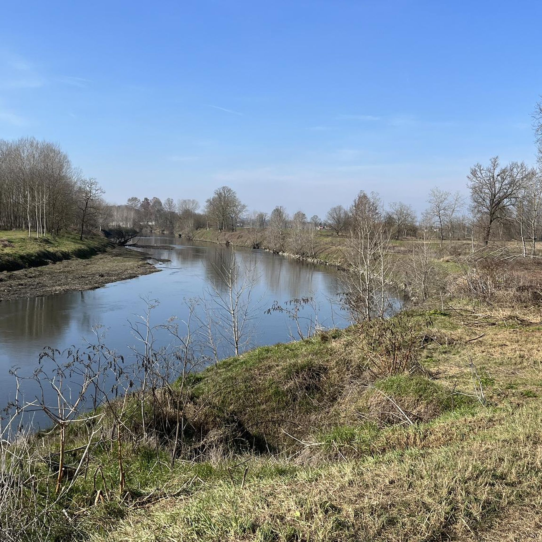

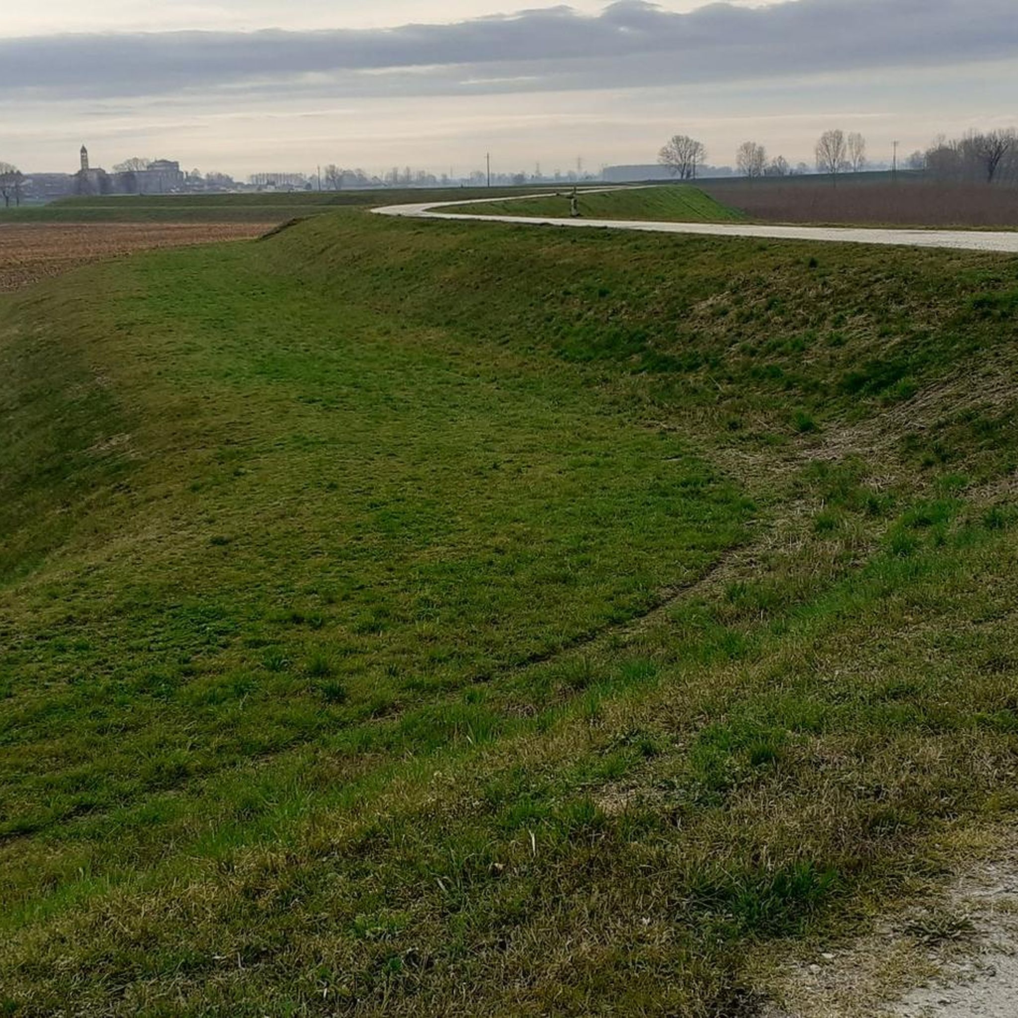
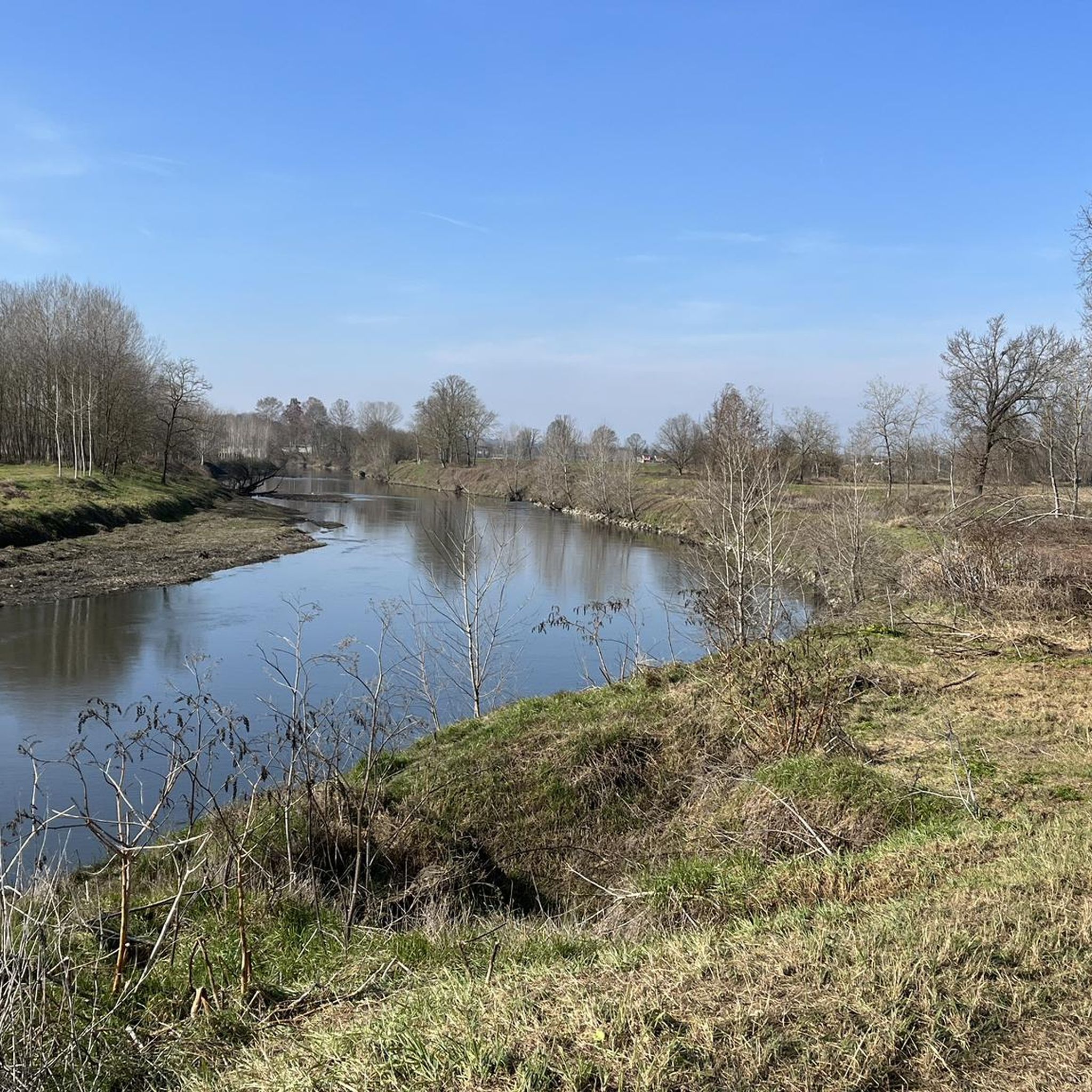
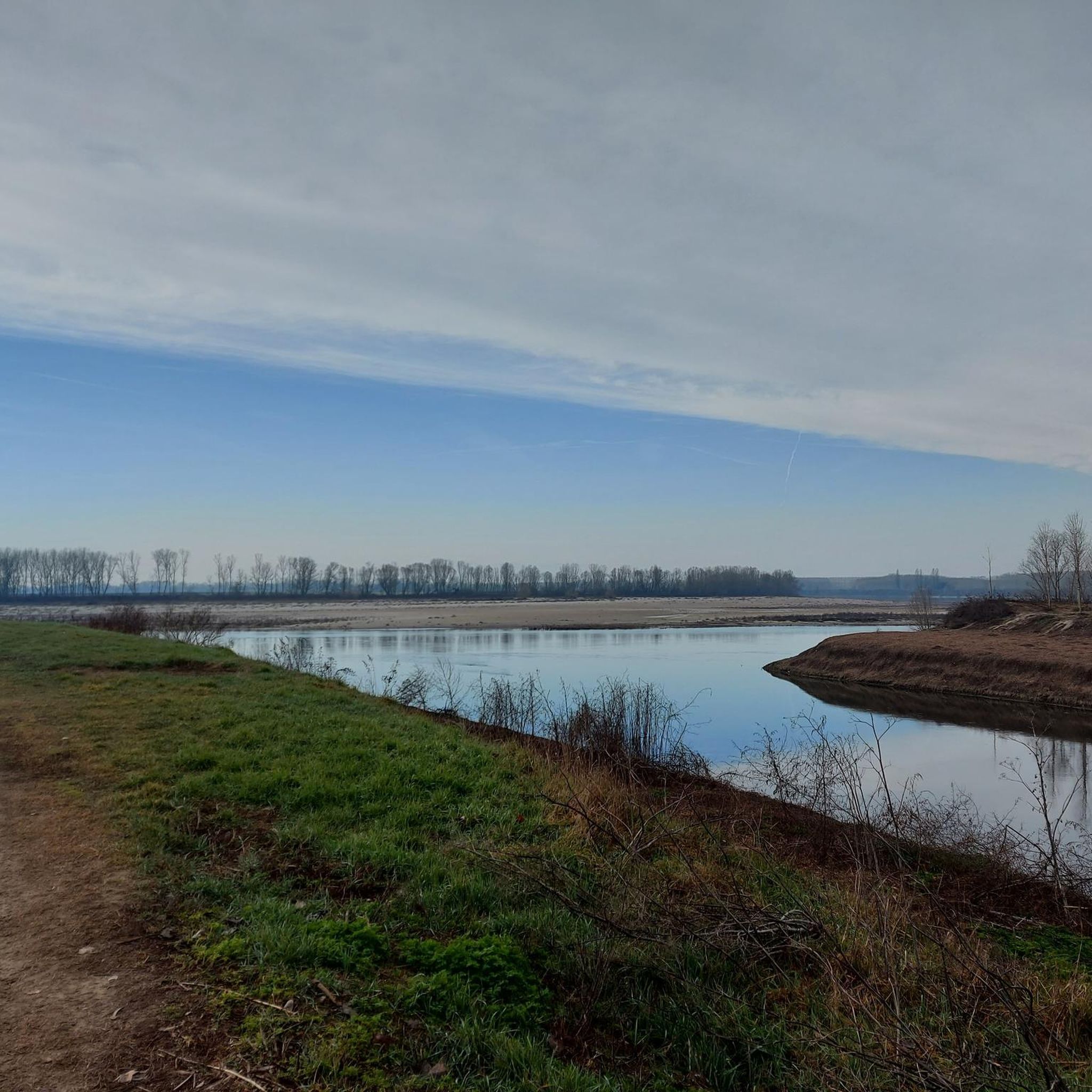
Tips from the Community

An idyllic spot for a rest and a picnic! We soak up the peace and quiet. From here, it's supposedly possible to take a boat across, just as pilgrims did in the Middle Ages. It's probably busier here in the summer.
1
0

Spectacular hostel created from an ancient convent
0
0

The Transitum padi is the passage over the River Po that pilgrims had to make on the Via Francigena to continue their journey from Canterbury to Rome. An important testimony to this ancient historical event comes from the Archbishop of Canterbury, Sigeric, who tells of the presence of huge rafts on the river at Corte Sant'Andrea: they transferred hordes of pilgrims and livestock, testifying to the centrality of this passage over the Po.
9
0

Danilo is a myth, worth knowing !!! Beautiful experience and great hospitality :-)
2
0

It is a house with a farmhouse, attached to other buildings that are now empty or have become homes but which were once a convent of the Diocese of Pavia. The building was built shortly after 1881 when the entire area was purchased by the bishop of Pavia, Mons. Agostino Riboldi, as a holiday home and from there began restoration work and adaptation to the new use.
1
0
It is the social and cultural center of the life of the village and its events are closely linked to those of the dominations that have taken place in the area. After destroying a previous center set up during the clashes with the city of Milan (1158), the German emperor Frederick I known as Barbarossa, aware of the strategic importance of San Colombano, decided to rebuild the castle in 1164.
1
0
The "Colle di San Colombano" rises between the Lodi plain and the lower Pavia area, in an area located about 40 km south of Milan and 30 km east of Pavia. The soil, which alternates sandy areas with limestone areas, the subsoil rich in minerals (as evidenced by the spring waters of the Terme di Miradolo and the Mineral Fonti Gerette di San Colombano), the exposure to the sun of its slopes, make the Colle an environment ideal and suited for the cultivation of vines.
2
1

Those who want to take the ferry. Otherwise just keep going in the direction of Piacenza.
3
0
Frequently Asked Questions
How many hiking trails are available around Livraga?
There are over 70 hiking trails around Livraga, ranging from easy strolls through the countryside to more moderate routes exploring the local hills and riverbanks. You'll find a good variety to suit different preferences.
Are there easy hiking options suitable for beginners or casual walkers?
Yes, Livraga offers many easy hiking options. Approximately 26 of the available routes are classified as easy, providing gentle walks through agricultural areas and along local paths. These are perfect for a relaxed outdoor experience.
What is the best time of year to go hiking in Livraga?
The best time to hike in Livraga is typically during spring (April-May) and autumn (September-October) when the weather is mild and pleasant. Summer can be warm, but early mornings or late afternoons are still enjoyable. Winter offers a tranquil, albeit cooler, experience through the rural landscapes.
Are there any circular walks around Livraga?
Many of the trails around Livraga are designed as circular routes, allowing you to start and end in the same location. For example, the Colli Banini – Chapel of Madonna of the Mountains loop from San Colombano al Lambro is a popular circular option.
Are the hiking trails around Livraga suitable for families with children?
Yes, the tranquil rural setting and the prevalence of leisurely, gentle walks make many trails around Livraga suitable for families. Routes that explore the local countryside and avoid significant elevation changes are ideal for children. Consider the Pond of San Colombano Park loop from San Colombano al Lambro for a family-friendly outing.
Can I bring my dog on hikes in Livraga?
Generally, dogs are welcome on the rural hiking trails around Livraga, especially in the open countryside and along local paths. However, always keep your dog under control, especially near farms or livestock, and be sure to carry water for them. Check specific trail regulations if you plan to enter any protected areas.
What kind of natural features or wildlife can I expect to see?
The region is characterized by agricultural landscapes, riverbanks, and small wooded areas. You might spot various bird species, small mammals, and local flora typical of the Lombardy countryside. The nearby Adda River Park and Navigli canals offer opportunities for observing aquatic wildlife and serene natural environments.
Are there any interesting historical sites or landmarks along the trails?
While Livraga itself is a small agricultural town, the wider area offers some historical points of interest. You might encounter charming villages and traditional farms. Nearby attractions include Villa Litta Carini, Chignolo Po Castle, and San Colombano Castle, which can be explored in conjunction with local walks.
Where can I find parking for trailheads near Livraga?
Parking is generally available in the small villages and towns that serve as starting points for many routes, such as San Colombano al Lambro or Orio Litta. Look for designated parking areas or street parking in these communities, especially near local parks or churches.
What do other hikers enjoy most about hiking in Livraga?
The komoot community highly rates the trails around Livraga, with an average score of 4.2 stars from over 90 reviews. Hikers often praise the tranquil rural scenery, the peaceful atmosphere, and the well-maintained paths that offer a relaxing escape into nature.
Are there any routes that follow riverbanks or canals?
Yes, the wider Province of Lodi, which Livraga is part of, offers walking paths along riverbanks, such as those of the Adda River, and alongside the historic Navigli canals. These routes provide unique landscapes of water channels and traditional scenery, perfect for a different kind of walking experience.
What is the typical difficulty level of hikes in this area?
The hikes around Livraga are predominantly easy to moderate. Out of 74 routes, 26 are easy and 43 are moderate, making the area accessible for most fitness levels. There are only a few difficult routes, ensuring a comfortable experience for the majority of hikers.
Most popular attractions around Livraga

Get inspired with the komoot mobile app


Explore more
Browse the best Hikes in other regions.
