The best road cycling routes around Tackesdorf
4.3
(66)
585
riders
58
rides
Road cycling routes around Tackesdorf are characterized by a predominantly flat landscape, influenced by its proximity to the Kiel Canal and the Eider River. The region features numerous bridges and ferry crossings, with minimal elevation changes across its terrain. This area offers a network of routes suitable for road cyclists seeking consistent gradients and scenic waterways.
Best road cycling routes around Tackesdorf
- The most popular road cycling route is Lowest Point in Germany – Grünental High Bridge loop from Gokels…
Last updated: October 22, 2026
4.7
(7)
57
riders
88.7km
03:41
360m
360m
Moderate road ride. Good fitness required. Some segments of this route may be unpaved and difficult to ride.
4.8
(26)
204
riders
39.9km
01:56
100m
100m
Easy road ride. Mostly well-paved surfaces and easy to ride.

18
riders
66.9km
03:17
180m
180m
Moderate road ride. Good fitness required. Some segments of this route may be unpaved and difficult to ride.
4.0
(2)
9
riders
Easy road ride. Mostly well-paved surfaces and easy to ride.
5.0
(1)
7
riders
35.7km
01:37
80m
80m
Moderate road ride. Some segments of this route may be unpaved and difficult to ride.
Get access to more routes and recommendations from other explorers.
Already have an account?
Our route recommendations are based on thousands of hikes, rides, and runs completed by other people on komoot.
Start today with a free account
Your next adventure awaits.
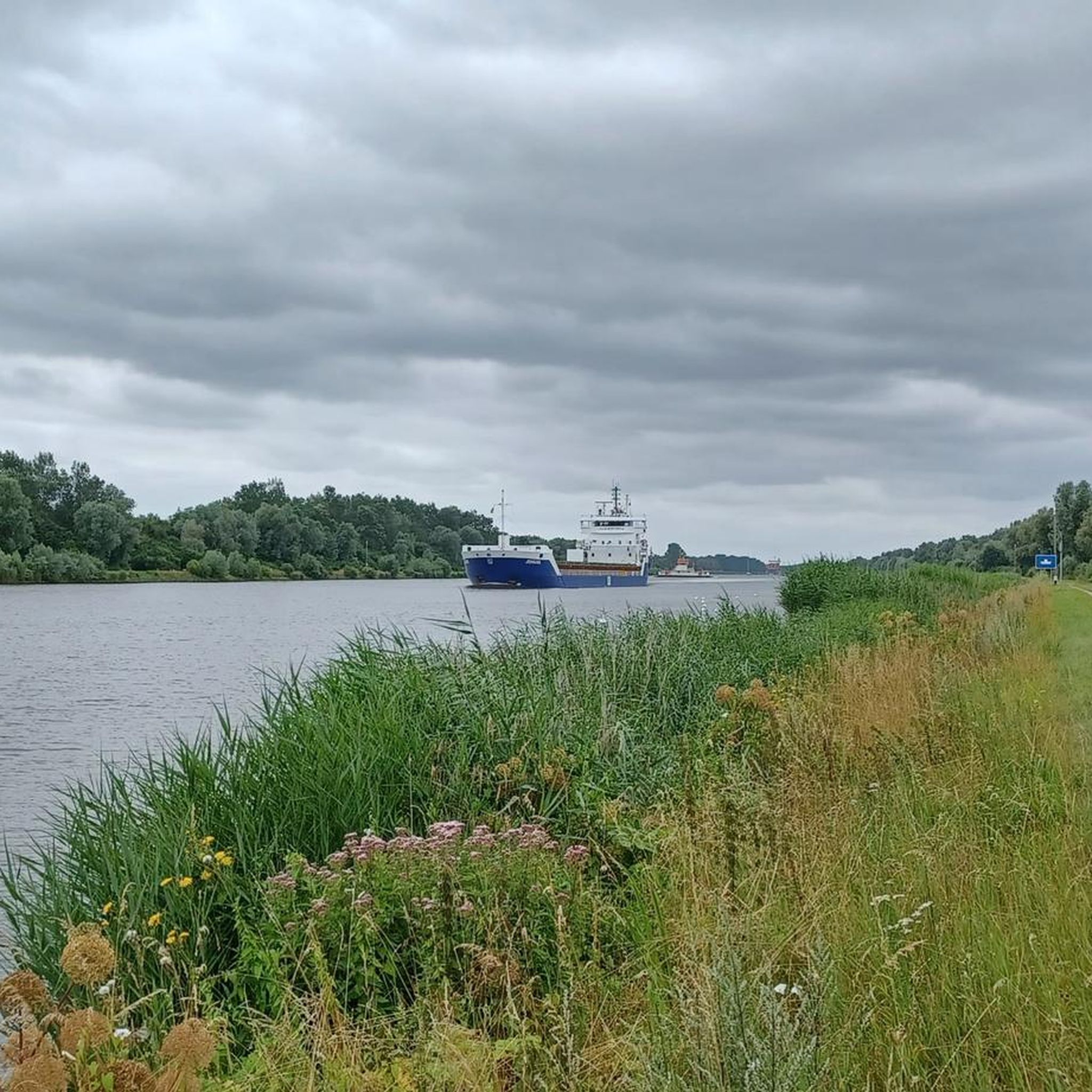
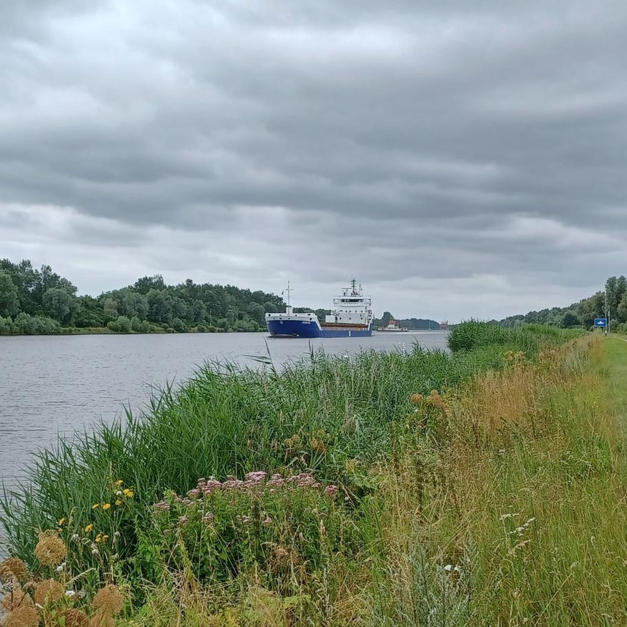
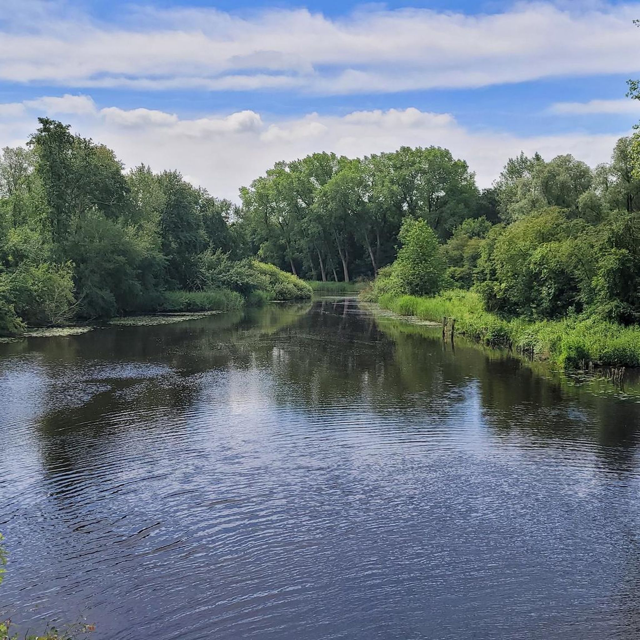
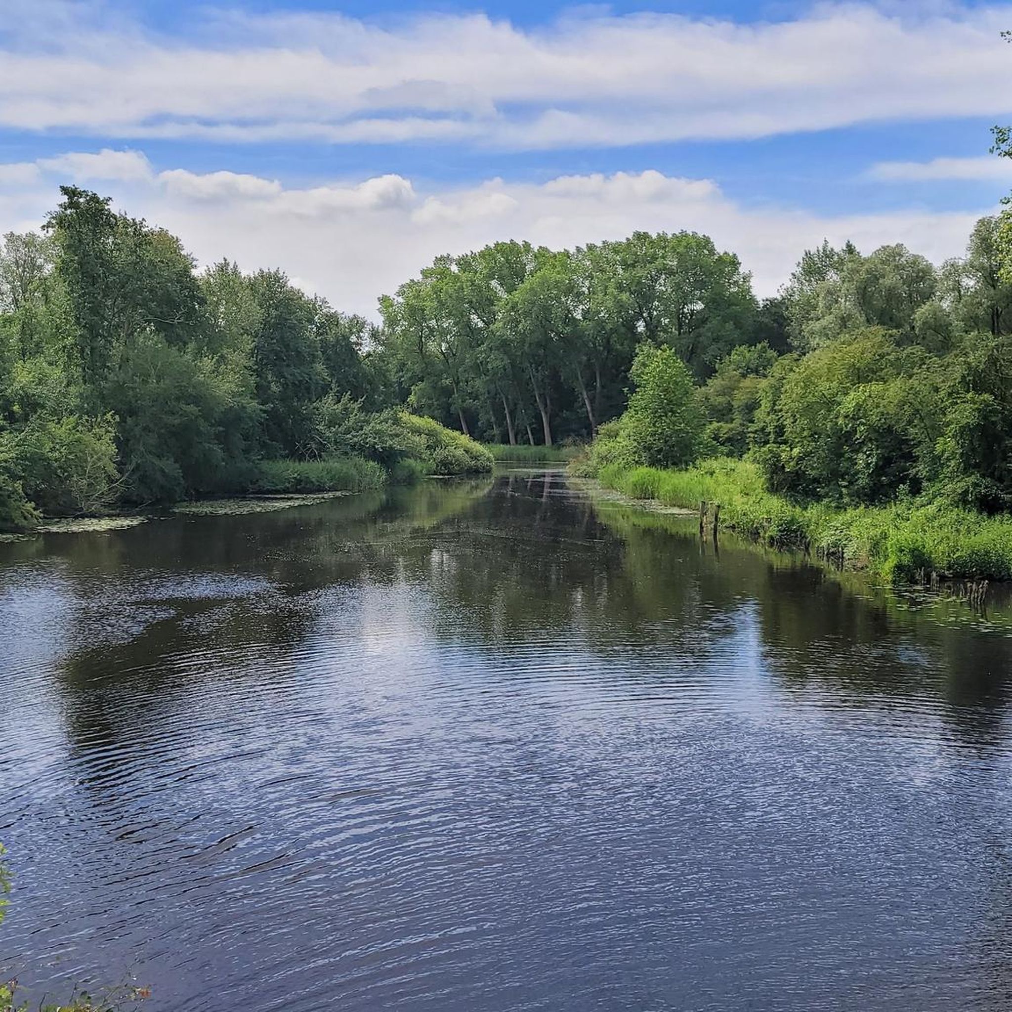
Tips from the Community

Watch out for the bridge toll
0
0
Here the water of the Bekau is channeled into the Siör.
0
0

Helpful support for repairs 💯🔝👍🏻😊🚴♀️
3
0

View of the harbor and the railway viaduct.
1
0
Worth seeing technical masterpiece.
0
0

When I drove past it was no longer visible
2
0

There's a narrow canal passage here, so the view from here is quite beautiful. Tip: Step onto the canal promenade at the top – it's even more impressive there.
1
0

My group passed by here on our "Seelust: Bike Tour to the Kiel Canal" tour. The tour and the entire cycling trip, of which it's a part, are fantastic. We made it through safely.
0
0
Frequently Asked Questions
How many road cycling routes are available around Tackesdorf?
There are over 60 road cycling routes in the Tackesdorf region, offering a diverse network for various skill levels. This includes 24 easy routes and 38 moderate options.
Are there easy or family-friendly road cycling routes in Tackesdorf?
Yes, Tackesdorf is well-suited for beginners and families, with 24 easy routes available. A great option is the Old Pilot Station Schülp – Breiholz Ferry loop from Hamdorf, an easy 24.5 miles (39.4 km) path featuring scenic views.
What is the typical length of road cycling routes in Tackesdorf?
Route lengths vary, but many popular options range from 25 to 60 miles. For example, the View of the Eider River – Giselau Lock loop from Breiholz is 25.2 miles (40.6 km), while the Lowest Point in Germany – Grünental High Bridge loop from Gokels covers 60.7 miles (97.7 km).
What kind of terrain can I expect on road cycling routes in Tackesdorf?
The Tackesdorf region is characterized by a predominantly flat landscape, influenced by its proximity to the Kiel Canal and the Eider River. You'll find minimal elevation changes, making it ideal for consistent gradients and scenic waterway views.
Are there any loop road cycling routes around Tackesdorf?
Yes, many routes in Tackesdorf are designed as loops. A notable example is the Breiholz Ferry – Nobiskrug Canal Ferry loop from Breiholz, which is 41.7 miles (67.1 km) and connects two ferry crossings along the Kiel Canal.
What are some scenic highlights or attractions I can see along the road cycling routes?
The routes often feature views of the Kiel Canal and the Eider River. You can also pass by landmarks such as the Breiholz Ferry on the Kiel Canal, the Old Chain Ferry, Fischerhütte, and the Gieselau Canal Lock and Bascule Bridge. The Lowest Point in Germany – Grünental High Bridge loop from Gokels also passes by the Lowest Point in Germany.
What do other road cyclists enjoy most about road cycling in Tackesdorf?
The area is highly rated by the komoot community, with an average score of 4.3 stars from over 50 reviews. Cyclists frequently praise the flat terrain, extensive canal networks, and river views, which offer a variety of routes for different ability levels.
Are there any routes that feature ferry crossings?
Yes, the region's proximity to the Kiel Canal means several routes incorporate ferry crossings. The Breiholz Ferry – Nobiskrug Canal Ferry loop from Breiholz is a prime example, connecting two distinct ferry experiences.
Are there any advanced road cycling routes for experienced cyclists?
While Tackesdorf is known for its flat terrain, there are moderate routes that offer longer distances and can be combined for more challenging rides. The Lowest Point in Germany – Grünental High Bridge loop from Gokels, at 60.7 miles (97.7 km), is a good option for those seeking a longer, moderate challenge.
What is the best time of year for road biking in Tackesdorf?
The region is generally pleasant for road cycling from spring through autumn. The flat landscape makes it accessible, but checking local weather forecasts is always recommended, especially for wind conditions near the open waterways.
Can I find cafes or places to stop for refreshments along the routes?
Many routes pass through or near villages and towns like Hamdorf or Breiholz, where you can typically find cafes or small shops for refreshments. The presence of ferries also often means small kiosks or waiting areas with amenities.
Are there any routes that offer views of the Eider River?
Absolutely. The Eider River is a prominent feature of the landscape. The View of the Eider River – Giselau Lock loop from Breiholz and the View of the Eider River – Nübbel Eider Bridge loop from Breiholz are excellent choices for enjoying river views.
Most popular attractions around Tackesdorf

Get inspired with the komoot mobile app


Explore more
Browse the best Road cycling routes in other regions.
