The best walks and hikes around San Valentino Torio
4.4
(785)
8,412
hikers
67
hikes
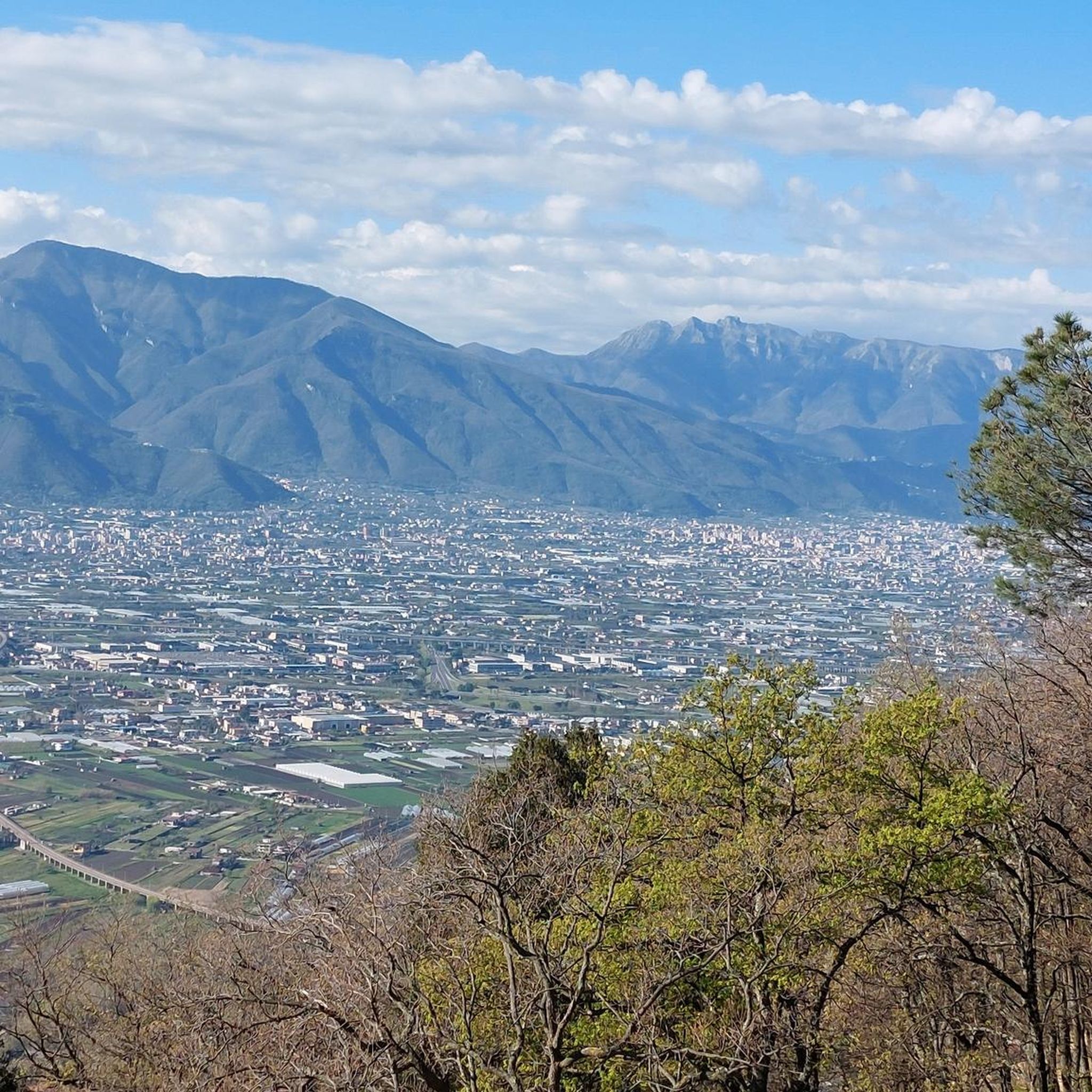
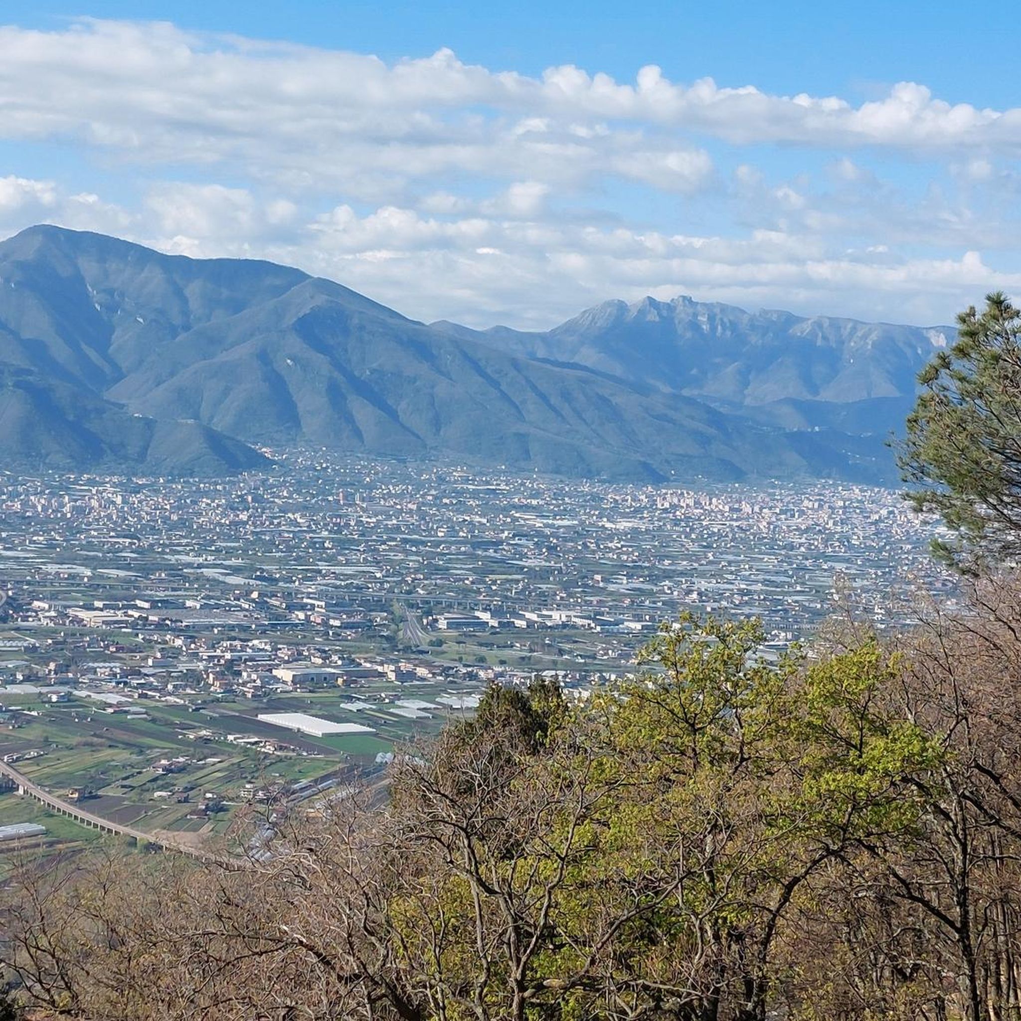
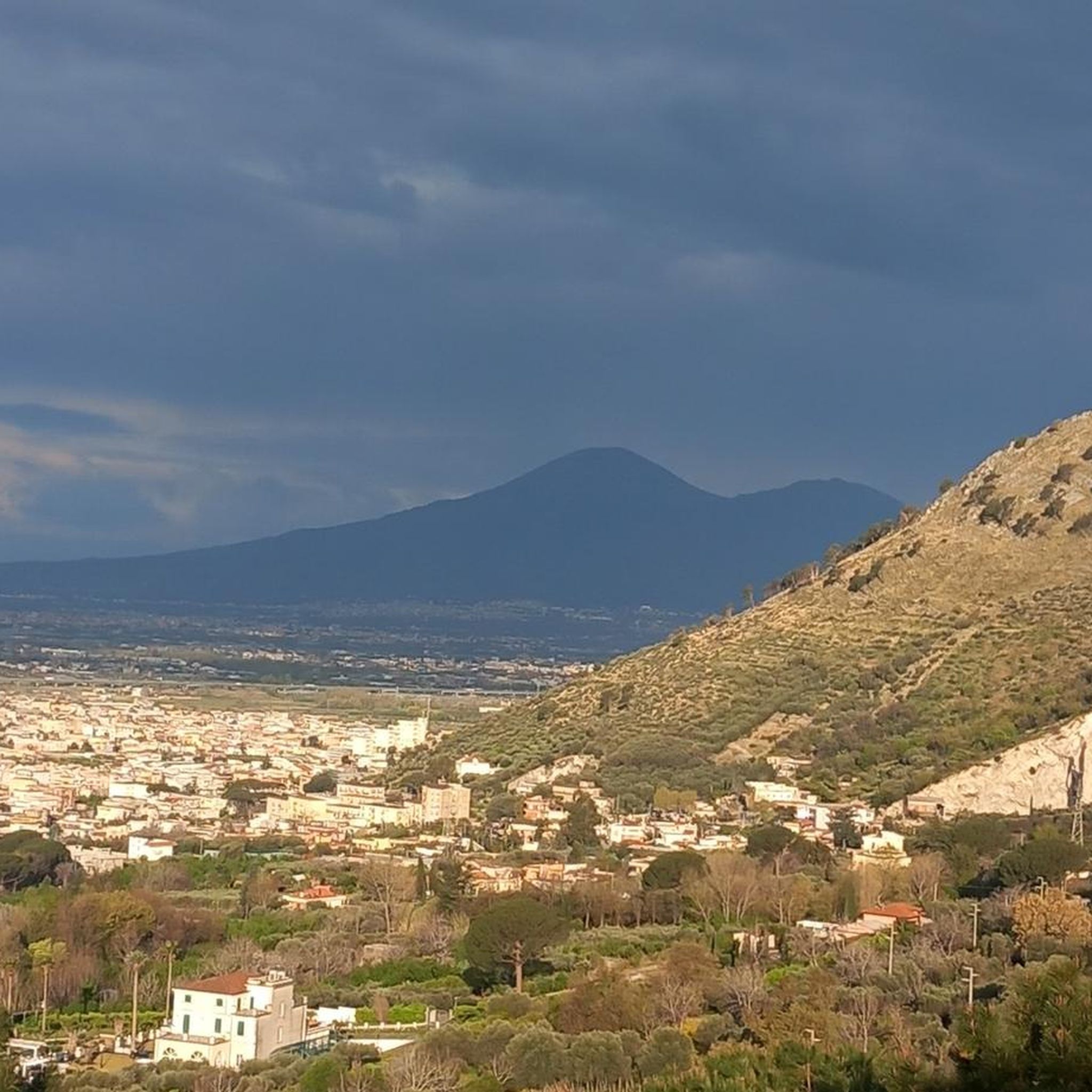
Hiking around San Valentino Torio offers access to diverse landscapes within Italy's Campania region. The town is situated in the fertile Sarno plain, characterized by rich volcanic soil and flat to gently rolling terrain. To the east, the Lattari Mountains provide more challenging hiking opportunities, with views of the iconic Mount Vesuvius visible from the area. This region features a mix of agricultural land and mountainous paths.
Best hiking trails around San Valentino Torio
- The most popular hiking route is…
Last updated: July 17, 2026
3.8
(4)
12
hikers
11.1km
03:50
580m
580m
Moderate hike. Good fitness required. Easily-accessible paths. Suitable for all skill levels.
5.0
(3)
13
hikers
10.1km
02:58
260m
260m
Moderate hike. Good fitness required. Easily-accessible paths. Suitable for all skill levels.

Sign up for free
5.0
(6)
11
hikers
19.0km
07:12
1,010m
1,010m
Hard hike. Very good fitness required. Mostly accessible paths. Sure-footedness required.
7
hikers
15.1km
06:03
770m
770m
Hard hike. Very good fitness required. Mostly accessible paths. Sure-footedness required.
4.3
(4)
8
hikers
12.1km
03:38
390m
390m
Hard hike. Good fitness required. Sure-footedness, sturdy shoes and alpine experience required.
Get access to more routes and recommendations from other explorers.
Sign up for free
Already have an account?
Our route recommendations are based on thousands of hikes, rides, and runs completed by other people on komoot.
Start today with a free account
Your next adventure awaits.
Login or Signup


Tips from the Community

A beautiful panoramic point ideal for a short break
1
0

Torre Gatto – The Sentinel of Mystery Among the ruins hidden by the vegetation stands the Torre Gatto, an ancient bastion of uncertain origin, shrouded in silence and legend. According to popular tradition, the tower was guarded by a giant black cat, guardian spirit of the forest, who appeared only to those who disturbed the peace of the place. Other stories tell that the tower was an observatory of monks, or a Lombard watchtower, placed to guard the paths towards the valley. Today only a part of its walls remains, but the atmosphere is intact: a fascinating point where history and nature intertwine in the silence of time.
0
0

A pedestal, seemingly oversized compared to the size of the actual cross, forms the base for this small sacred monument. The stone base is divided horizontally into several levels, the third of which tapers towards the top. Above it stands the cross, whose crossbeam—in contrast to the longitudinal beam—is provided with a series of holes, the bottom of which, however, is not visible to the observer.
0
0


The castle has an ancient and troubled history, about 1300 years long. In the 6th century the Longobards, coming from Benevento, settled in the area and less than a century later the castle was built, of which today only a few run-down ruins remain. As per practice in the Middle Ages, the first inhabited nucleus developed around the fortress, what is now known as Borgo San Matteo. In the following centuries the castle hosted King Manfredi of Swabia several times, who was buried there together with his son after having lost his life during the battle of Tagliacozzo. Later the castle passed into the hands of the Angevins and the County of Sarno ended up under the control of the Kingdom of Naples. In the 15th century, before passing to the Aragonese, the castle was occupied by the Orsini family, to whom we owe the building of the Bear Tower, still visible today. In these years the castle was the scene of the famous conspiracy of the barons and the Torre dell'Orso proved to be decisive for the fate of the battle of Sarno. The history of the Sarno fortress ends in the 17th century: in 1647 it was destroyed during the repressive actions against the revolts triggered by Masaniello. Also for this reason today the fortress is a set of almost unrecognizable ruins, which emerge scattered here and there in the mountain vegetation, where the central body of the castle is more intact and still viable, albeit with great attention and effort.
23
0
A substantial expansion on the east side of the castle probably dates back to the Aragonese period, i.e. the detached structure of the so-called Orsina tower because it was built by Daniele Orsini, count from 1460 to 1480. Located at a distance of about 100 meters outside the wall circuit, the structure covered a notable strategic importance in the defense of the castle on the north-east side. The tower, divided into four vaulted floors and connected by a staircase carved into the thickness of the wall, has a circular internal shape. The structure suffered considerable damage during the Second World War, following the earthquake of November 1980 and due to a strong wind it suffered another collapse in 1997.
21
0
The small sanctuary of the Madonna del Carmine al Castello stands on the Saretto hill overlooking the city of Sarno. It is very small but dear to the devotion of the Sarnese faithful. Due to its high position it is visible from all of the Agro Sarnese - Nocerino and arouses in those who observe it, even from a distance, the desire to visit it. It was originally dedicated to Saints Cosma and Damiano. It dates back to the period when the town was located on the hill. The news about this little church dates back to the Acts of the Holy Visit of the Bishop of Sarno, Paolo Fusco, of 1581: in them we read that the zealous Bishop, not being able to access the church due to a thick bush and lack of a path, he ascertained from the Tower of the Castle that the church was abandoned and declared it deconsecrated. A century after the visit of Bishop Fusco, around 1700, out of devotion to Francesco Antonio Corrado, the church rose again larger and more beautiful, thanks to his constant interest
19
0
Perhaps the first foundation of the church of San Martino dates back to the early Middle Ages or more likely to the Norman period as suggested by the dedication to the transalpine saint. It was already recorded in the fiscal sources of the fourteenth century and around the sixteenth century the bishops in some correspondence describe it already in a deplorable state. Following the washouts of volcanic materials that had deposited on the slope following the eruption of 1631, the church suffered considerable damage such as to be rebuilt between the end of that century and during the first years of the following century. The definitive abandonment and deterioration of the structure are unfortunately part of the sad history of the twentieth century.
15
0
Frequently Asked Questions
How many hiking trails are there in San Valentino Torio?
There are over 60 hiking trails around San Valentino Torio, offering a wide range of options from easy strolls to more challenging mountain excursions. The komoot community has explored 66 routes in total.
What kind of terrain can I expect on hikes around San Valentino Torio?
Hikes around San Valentino Torio feature diverse terrain. You'll find paths through the fertile Sarno plain, characterized by rich volcanic soil and flat to gently rolling landscapes. As you venture towards the east, trails ascend into the foothills of the Lattari Mountains, offering more rugged and mountainous paths.
Are there easy hikes suitable for beginners in San Valentino Torio?
Yes, San Valentino Torio offers a good selection of easy hikes. There are 19 routes classified as easy, perfect for beginners or those looking for a leisurely walk through the picturesque countryside.
Are there challenging hikes for experienced hikers?
Absolutely. For experienced hikers seeking a challenge, there are 16 difficult routes available. An example is the Southern Cross – Panda Trail loop from Nocera Inferiore Mercato, which covers 11.8 miles (19.0 km) with significant elevation gain.
What do other hikers say about the trails in San Valentino Torio?
The trails in San Valentino Torio are highly regarded by the komoot community, with an average rating of 4.5 out of 5 stars from over 700 reviews. Hikers often praise the varied terrain, the historical ruins, and the natural beauty, including features like waterfalls.
Can I see Mount Vesuvius from the hiking trails?
Yes, the region's location provides distant views of the iconic Mount Vesuvius from various points along the trails, adding a dramatic backdrop to your hiking experience.
Are there any waterfalls on the trails near San Valentino Torio?
Yes, you can find trails that lead to natural water features. For example, the Cava de' Tirreni Waterfall loop from Nocera Inferiore is a popular moderate route that takes you through natural landscapes, including a waterfall.
Are there any interesting natural attractions or landmarks to explore near the hiking routes?
Beyond the trails, the area around San Valentino Torio features several natural attractions. You can explore various caves such as Grotta Boscariello or Hannibal's Cave. These offer unique points of interest for those looking to extend their exploration.
Are there circular routes available for hiking?
Yes, many of the trails around San Valentino Torio are designed as loops, allowing you to start and end your hike at the same point. An example is the Church of San Martino (Ruins) – Croce di Sarno loop from Sarno.
What is the best time of year to hike in San Valentino Torio?
The best time to hike in San Valentino Torio is generally during the spring (April to June) and autumn (September to October) months. During these periods, the weather is typically mild and pleasant, making for comfortable hiking conditions and vibrant natural scenery.
Are the hiking trails in San Valentino Torio suitable for families?
Yes, with a good number of easy and moderate routes, many trails are suitable for families. The gentler paths through the Sarno plain are particularly good for walks with children, offering a chance to enjoy the agricultural landscape.
Can I bring my dog on the hiking trails?
Many trails in the San Valentino Torio area are dog-friendly, especially those through the countryside and less strenuous mountain paths. However, it's always advisable to check specific trail regulations or local signage for any restrictions before heading out with your pet.
Where can I find accommodation or places to eat in San Valentino Torio?
San Valentino Torio, being a charming agricultural town, offers local amenities including restaurants and cafes where you can enjoy authentic Italian cuisine. For accommodation, you'll find various options ranging from guesthouses to agriturismos in and around the town.
Most popular routes around San Valentino Torio
Most popular attractions around San Valentino Torio

Get inspired with the komoot mobile app


Explore more
Browse the best Hikes in other regions.
