The best walks and hikes around Buti
4.5
(402)
1,118
hikers
63
hikes
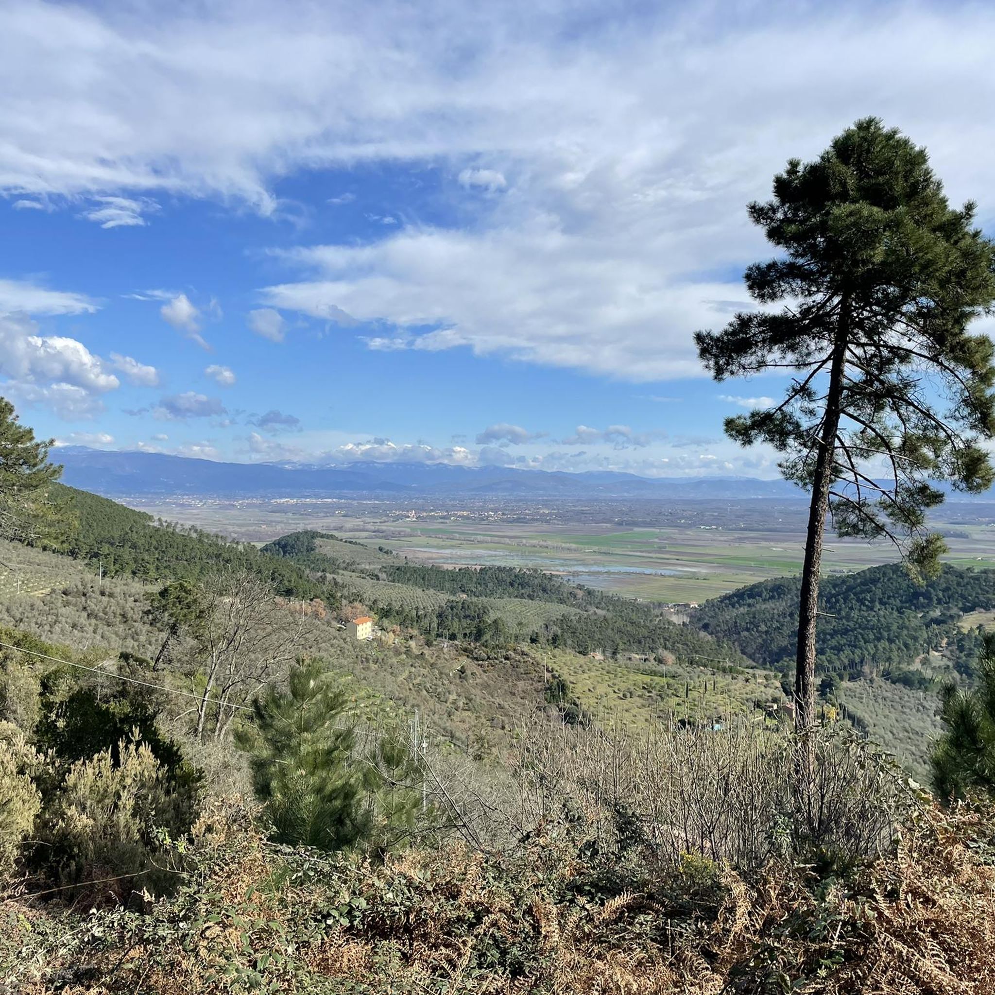
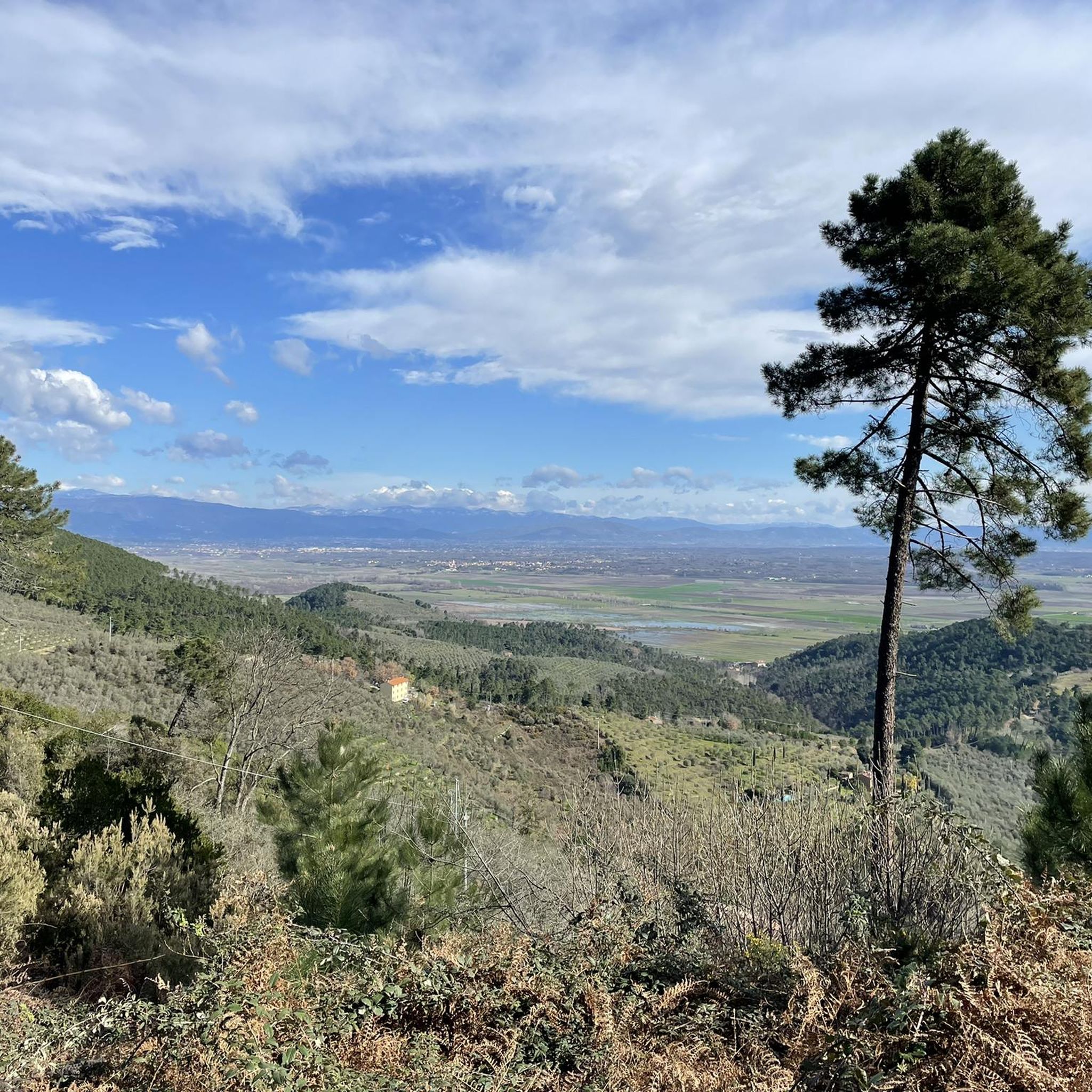
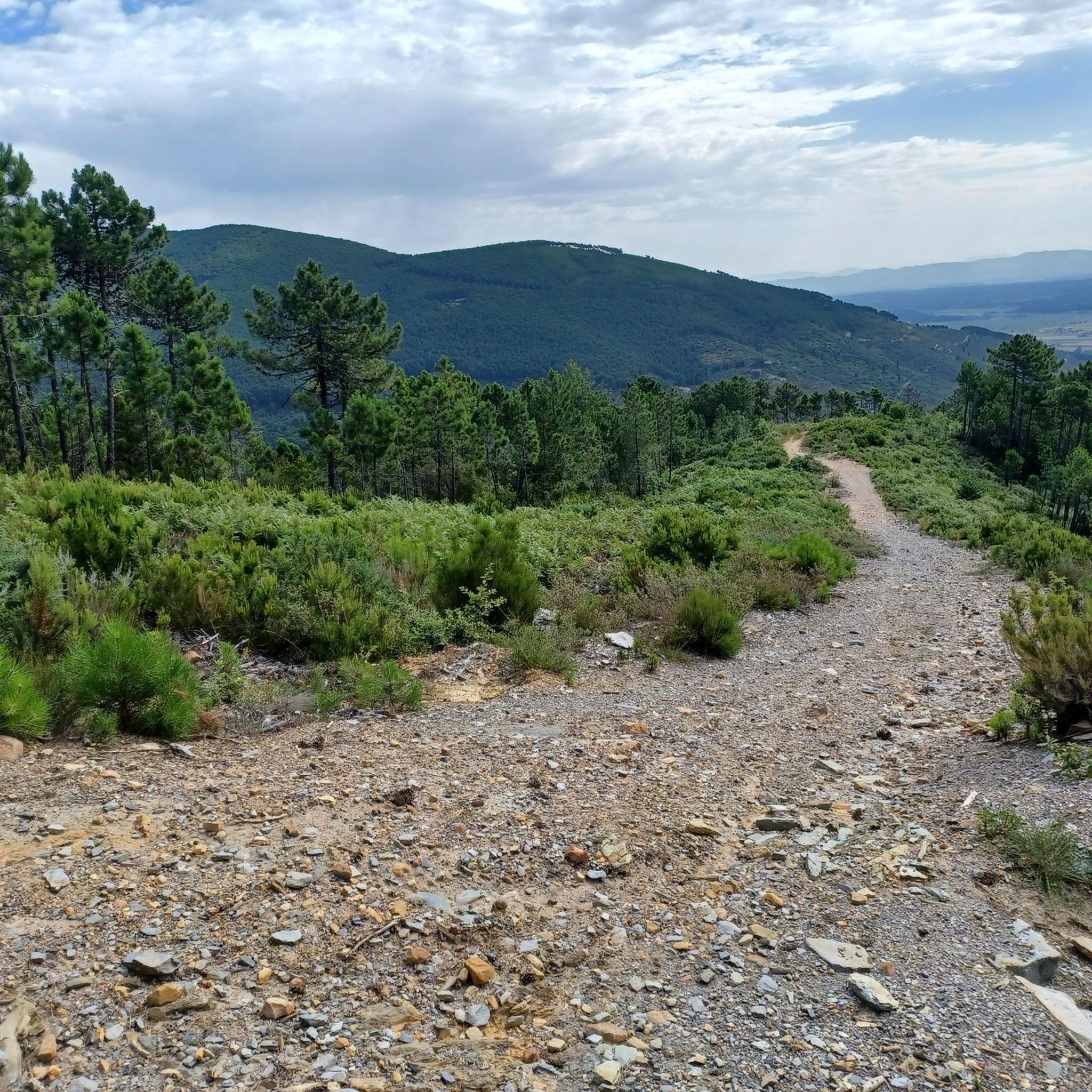
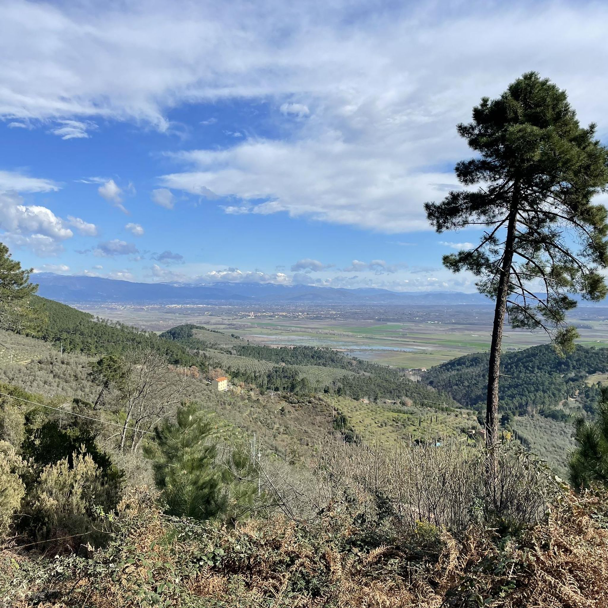
Hiking around Buti offers access to the diverse landscapes of the Monti Pisani, characterized by a network of paths, mule tracks, and dirt roads. The region features varied terrain, from terraced olive groves to dense chestnut woods and rugged mountainous reliefs. Hikers can explore areas with unique natural features, including larch pine forests and numerous abundant springs. The trails provide panoramic views stretching from the Arno plain to the Apuan Alps and the Tyrrhenian coast.
Best hiking trails around Buti
…Last updated: August 17, 2026
4.6
(12)
34
hikers
7.36km
02:23
290m
260m
Hard hike. Good fitness required. Sure-footedness, sturdy shoes and alpine experience required.
5.0
(1)
1
hikers
29.0km
08:40
850m
920m
Hard hike. Very good fitness required. Easily-accessible paths. Suitable for all skill levels.

Sign up for free
4.6
(13)
46
hikers
Easy hike. Great for any fitness level. Easily-accessible paths. Suitable for all skill levels.
4.0
(21)
52
hikers
8.41km
02:37
320m
320m
Moderate hike. Good fitness required. Easily-accessible paths. Suitable for all skill levels.
4.9
(13)
64
hikers
6.99km
01:58
140m
140m
Easy hike. Great for any fitness level. Easily-accessible paths. Suitable for all skill levels.
Get access to more routes and recommendations from other explorers.
Sign up for free
Already have an account?
Our route recommendations are based on thousands of hikes, rides, and runs completed by other people on komoot.
Start today with a free account
Your next adventure awaits.
Login or Signup
Tips from the Community

Il Tempietto-Cisterna di Guamo is an elegant neoclassical building located in the municipality of Capannori (Lucca), which constitutes the starting point and collection point for the waters of the imposing Nottolini Aqueduct. Designed by architect Lorenzo Nottolini and built between 1823 and 1825 at the behest of Duchess Maria Luisa di Borbone, this structure served to filter and channel the pure waters coming from the springs of the Monti Pisani before sending them towards the city of Lucca.
0
0

The Tempietto-Cisterna di Guamo is the intake point and the southern end of the Monumental Aqueduct Nottolini. Located in the municipality of Capannori, it was designed by Lorenzo Nottolini and built between 1823 and 1825 at the behest of Duchess Maria Luisa of Bourbon. It is a circular building in neoclassical style with the original function of collecting and filtering the spring waters of Monte Pisano, intended for the water supply of the city of Lucca. The route of the so-called "Passeggiata dell’Acquedotto" also starts from the Tempietto, following the arches to the city.
1
0

The water can be drunk without any concerns
0
0


excellent place to spend Sundays and holidays, have barbecues and take walks in the surrounding area
0
0

Beautiful place. Unfortunately, the church was closed.
0
0
There's a small parking lot for a maximum of three cars. These shouldn't be too wide, as the access is via a narrow path. The view here is amazing.
0
0
Unfortunately it was closed. Still a beautiful path with flowers
0
0
Frequently Asked Questions
How many hiking trails are available around Buti?
Buti offers a comprehensive network of over 50 hiking routes, catering to various skill levels. You'll find everything from easy strolls through olive groves to more challenging ascents in the Monti Pisani.
What kind of landscapes can I expect to see while hiking in Buti?
The Monti Pisani region around Buti is incredibly diverse. You'll hike through terraced olive groves, some dating back to the seventeenth century, dense chestnut woods, and areas with majestic larch pine. The landscape transitions to more rugged, rocky mountainous reliefs, and you'll encounter numerous abundant springs.
Are there any easy or family-friendly hiking options in Buti?
Yes, Buti has several easy trails suitable for families. For instance, the "Buti – Villa di Badia – Loc il Rotone – Educational Park Monte Cucco Loop" is an easy 6 km itinerary that winds through terraced olive groves and passes historical sites. Another option is the Prato a Giovo Nature Trail – Prato a Giovo Picnic Area loop from Montemagno, which is an easy 4.8 km route.
What are the best times of year to go hiking in Buti?
Thanks to its mild climate, Buti is accessible for hiking year-round. The spring and autumn months offer particularly pleasant temperatures and vibrant scenery, while the summer can be enjoyed in the cooler, shaded woodlands. Even winter hiking is possible, especially on trails exposed to the sun.
Are there any circular hiking routes around Buti?
Yes, many routes in Buti are circular, allowing you to start and end in the same location. The "Buti-Piavola-Il Sorbo-Quadonica-Buti" route is a medium-easy circular option that explores chestnut groves and offers panoramic views. For a shorter, easy circular walk, consider the Prato a Giovo Nature Trail – Dolorosa Rock loop from Montemagno.
What historical or natural landmarks can I discover on the trails?
Buti's trails offer a blend of natural beauty and historical significance. You can explore the medieval Tonini Castle dominating Buti, or the Medicean Villa with its beautiful garden. Natural highlights include the unique larch pine forests and the terraced olive groves. You might also encounter the Upezzinghi Tower (Caprona Tower) or the rugged Sassicaie (Rocky Slopes of Monte Pisano).
Are there any challenging hikes for experienced trekkers?
Absolutely. For those seeking a more demanding experience, the "Anello Buti - Monte Serra" is an approximately 18 km route considered medium-to-high difficulty, with an elevation gain of about 800 meters. Additionally, the Mount Cimone and Ceragiola Peak — Ring tour is a difficult 7.4 km trail offering expansive views from higher elevations.
What kind of views can I expect from the peaks around Buti?
From the peaks of Monte Pisano, including Monte Moriglion di Penna, hikers can enjoy breathtaking panoramic views. These often stretch from the Arno plain to the Apuan Alps, and on clear days, you can even see the Tyrrhenian coast and its islands like Capraia, Gorgona, and Corsica, as well as the snow-capped northern Apennines.
What do other hikers say about the trails in Buti?
The routes in Buti are highly rated by the komoot community, with an average score of 4.5 stars from over 300 reviews. Hikers often praise the diverse landscapes, from olive groves to dense woodlands, and the well-maintained network of paths that offer options for all ability levels.
Is there a specific trail that offers a unique experience?
Yes, the "Buti-Piavola-Il Sorbo-Quadonica-Buti" circular route features a unique "perfume trail" designed to be accessible even for blind individuals, offering a multi-sensory experience through the natural environment.
Are there any via ferrata routes in the Buti area?
For those looking for a more adventurous and challenging experience, the Via Ferrata Sant'Antone is located on the road leading to Monte Serra. It features a well-equipped path with cables, brackets, a ladder, and a small suspended bridge, traversing stable conglomerate rock formations amidst pine and chestnut woodlands.
Most popular attractions around Buti

Get inspired with the komoot mobile app


Explore more
Browse the best Hikes in other regions.
