The best walks and hikes around Castel Gabbiano
4.3
(265)
1,291
hikers
130
hikes
Hiking around Castel Gabbiano offers a network of trails primarily characterized by flat terrain and riverine landscapes. The region is situated near the Serio River, providing opportunities for walks along its banks and through agricultural areas. With minimal elevation changes, the natural features around Castel Gabbiano are well-suited for accessible outdoor exploration.
Best hiking trails around Castel Gabbiano
- The most popular hiking route is Riverbank Path Along the Serio loop from Bariano, a 5.9 miles (9.6 km) trail that…
Last updated: October 4, 2026
4.5
(2)
11
hikers
Moderate hike. Good fitness required. Easily-accessible paths. Suitable for all skill levels.
3.5
(2)
7
hikers
20.6km
05:12
40m
40m
Hard hike. Very good fitness required. Easily-accessible paths. Suitable for all skill levels.

5.0
(1)
4
hikers
19.0km
04:49
40m
40m
Moderate hike. Good fitness required. Easily-accessible paths. Suitable for all skill levels.
5.0
(3)
7
hikers
15.3km
03:52
30m
30m
Moderate hike. Good fitness required. Easily-accessible paths. Suitable for all skill levels.
4.3
(3)
14
hikers
5.86km
01:29
10m
10m
Easy hike. Great for any fitness level. Easily-accessible paths. Suitable for all skill levels.
Get access to more routes and recommendations from other explorers.
Already have an account?
Our route recommendations are based on thousands of hikes, rides, and runs completed by other people on komoot.
Start today with a free account
Your next adventure awaits.

Tips from the Community

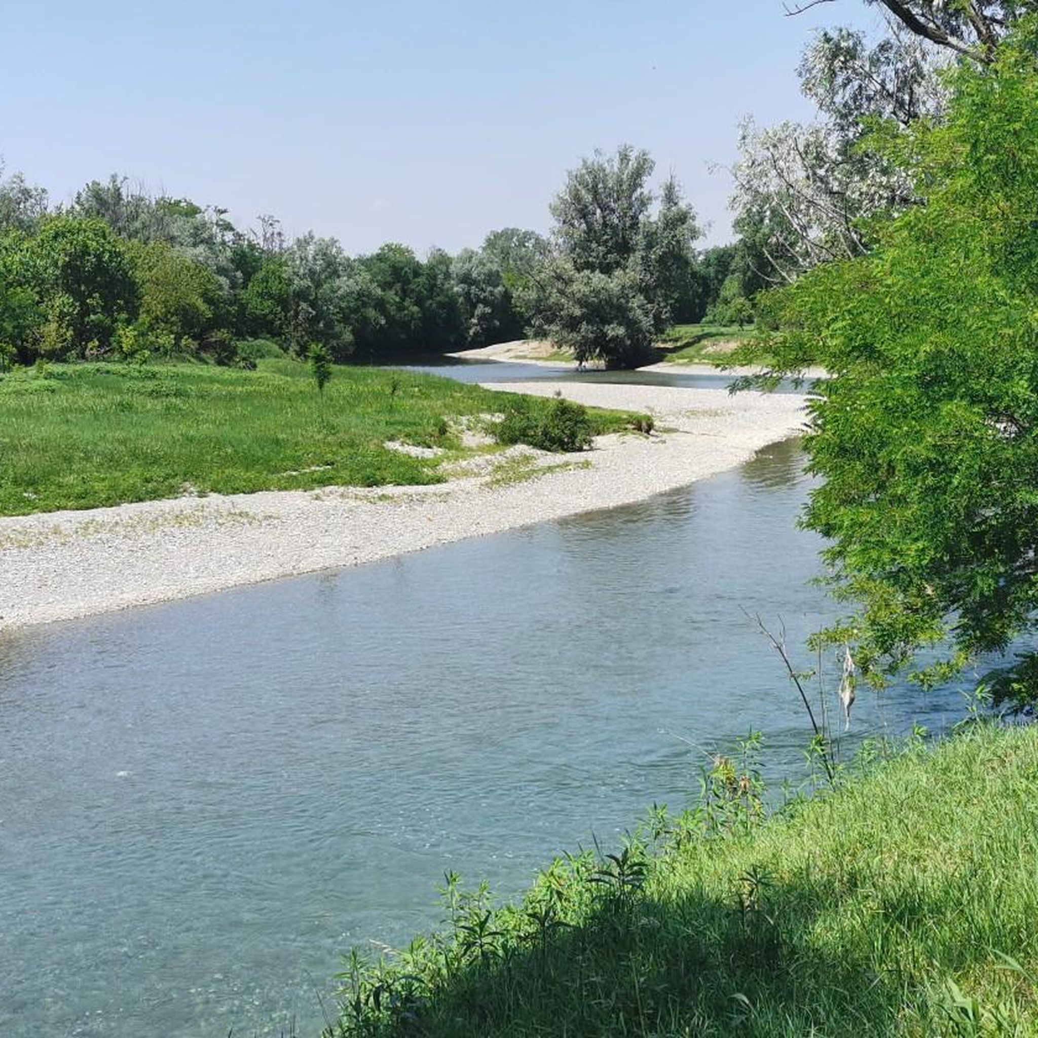
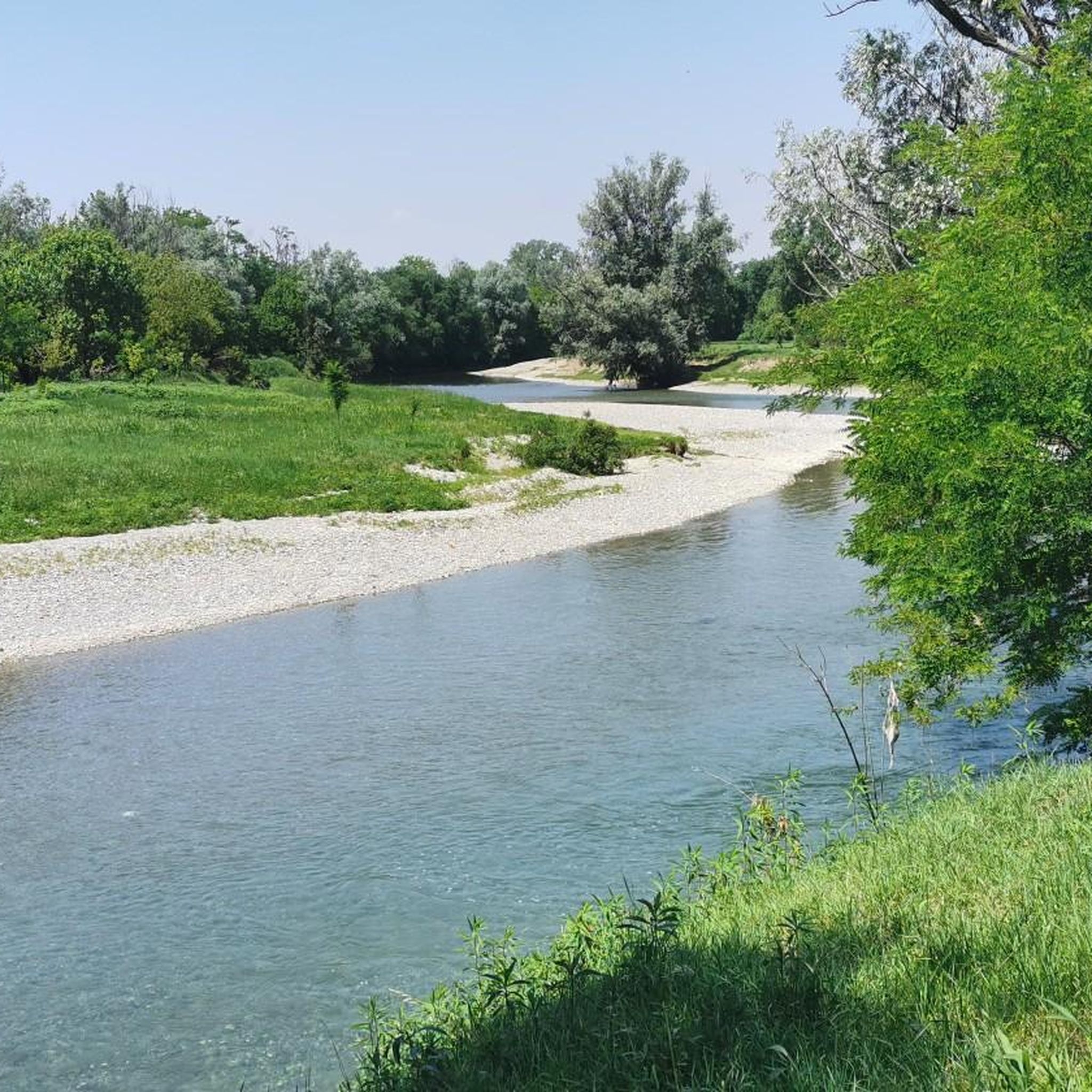
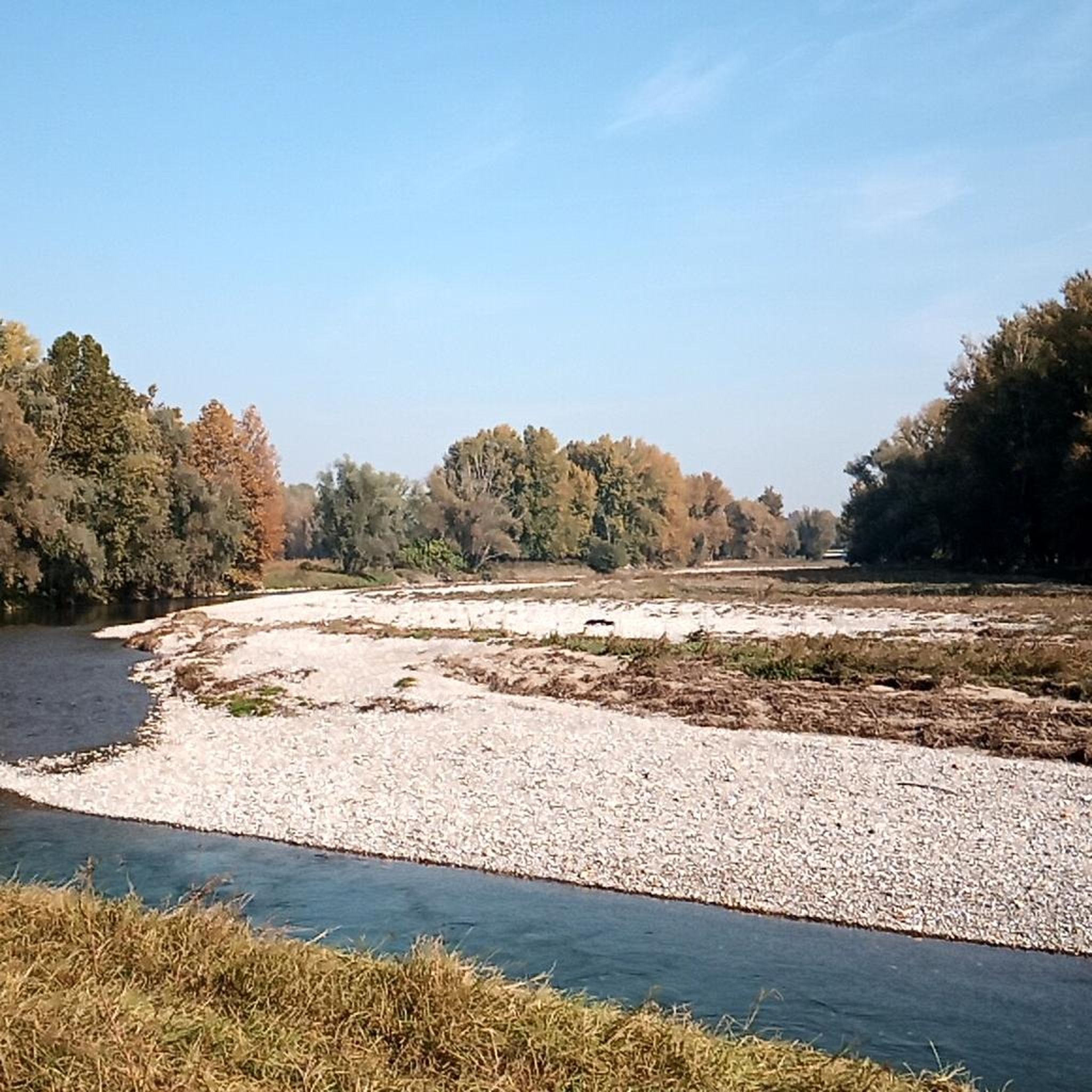
nice flowing stretch, typically gravel, with wonderful views
1
0

The well-maintained and embanked left bank of the Serio River near Romano di Lombardia offers pleasant views of the river and its biodiversity.
0
0
useful signs to avoid taking the wrong route in the fields
0
0

Palata rebuilt in concrete whose homonymous canal creates a protected natural area that takes its name from the Palata itself
24
0

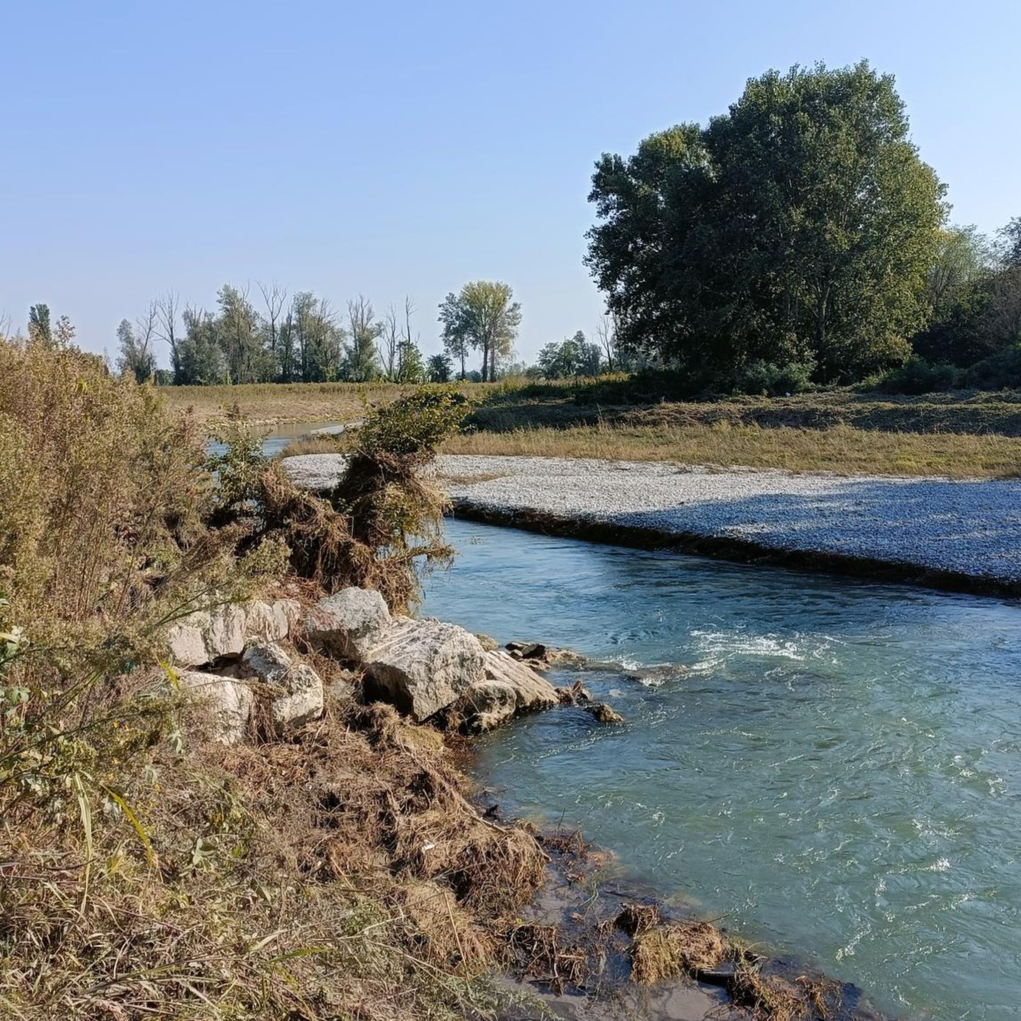
Attention: the track is very narrow at times, in some places very close to the collapsed banks
0
0

I would avoid long stops in the area. Unfortunately it is an area that is easy to access even by means other than bicycles and pedestrians. Unfortunately, drug dealers or unsavory people often circulate in the nearby groves
0
0
Pay attention to the embankments: many have collapsed and have been reported. Others don't. Caution
0
0

In Casale Cremasco along the cycle path that passes on the right bank of the Serio, behind the Galbani factory, there is a wooden house. On the back, towards the park, there is a drinking fountain.
1
0
Frequently Asked Questions
What kind of terrain can I expect on hiking trails around Castel Gabbiano?
Hiking around Castel Gabbiano is characterized by predominantly flat terrain and riverine landscapes. You'll find many paths along the Serio River and through agricultural areas, with minimal elevation changes, making them generally accessible.
Are there any easy hiking trails suitable for beginners or families?
Yes, Castel Gabbiano offers a good selection of easy trails. Out of 91 available routes, 38 are classified as easy, making them suitable for beginners or families looking for a relaxed outdoor experience.
Are there any circular hiking routes near Castel Gabbiano?
Many routes in the area are circular. For example, the Hiking loop from Covo is a moderate 8.2-mile (13.2 km) path that provides a comprehensive loop through the local countryside. Another option is the Fara Olivana – Watermill loop from Covo, which is 6.9 miles (11.1 km) and passes a watermill.
What natural features or landmarks can I see while hiking in the region?
The area boasts several natural highlights. You can visit the Reflection Lake in Ricengo, explore the Fontanile Quarantina, or see the View of the Steep Banks of the Serio River. There's also the San Giovanni Spring and the Sorgente del Carmine.
Are there any historical sites or castles to explore near the hiking trails?
Yes, the region is rich in historical sites. You can visit the impressive Castello di Pagazzano, the Visconti Fortress of Romano di Lombardia, or the Castel Liteggio Fortress. The Palazzo Visconti of Brignano Gera d'Adda is also nearby, offering a glimpse into the area's past.
What do other hikers say about the trails around Castel Gabbiano?
The trails in Castel Gabbiano are highly rated by the komoot community, with an average score of 4.4 stars from over 100 reviews. Hikers often praise the well-maintained river paths and the peaceful agricultural scenery.
How long do hikes typically take in this area?
Hike durations vary, but many popular routes are manageable for a half-day outing. For instance, the Riverbank Path Along the Serio loop from Bariano, which is 5.9 miles (9.6 km), typically takes about 2 hours 25 minutes to complete.
Are there any longer or more challenging routes for experienced hikers?
While the area is known for its flat terrain, there are a few longer routes. The Hiking loop from Casale Cremasco-Vidolasco is a more challenging option, covering 13.5 miles (21.7 km) and typically taking over 5 hours to complete.
What is the best time of year to go hiking around Castel Gabbiano?
Given the flat terrain and riverine environment, spring and autumn are ideal for hiking in Castel Gabbiano, offering pleasant temperatures and vibrant natural scenery. Summer can be warm, but riverbank paths provide some relief. Winter hiking is also possible, though some paths might be muddy.
Is there public transport available to reach the hiking areas?
While specific public transport details for every trailhead are not provided, the region is generally accessible. It's advisable to check local bus schedules or regional train connections to nearby towns like Covo or Bariano, which serve as starting points for several routes.
Are there cafes or pubs near the hiking trails for refreshments?
Many of the routes start or pass through small towns and villages, such as Covo and Bariano. These locations typically offer local cafes, bars, or trattorias where you can find refreshments and local cuisine after your hike.
Are the hiking trails around Castel Gabbiano dog-friendly?
Most natural trails in the Castel Gabbiano region, especially those along the riverbanks and through agricultural fields, are generally dog-friendly. However, it's always recommended to keep dogs on a leash, especially near livestock or in populated areas, and to respect local regulations.
Most popular routes around Castel Gabbiano
Most popular attractions around Castel Gabbiano

Get inspired with the komoot mobile app


Explore more
Browse the best Hikes in other regions.
