The best running trails around Roburent
3.8
(5)
494
runners
49
runs
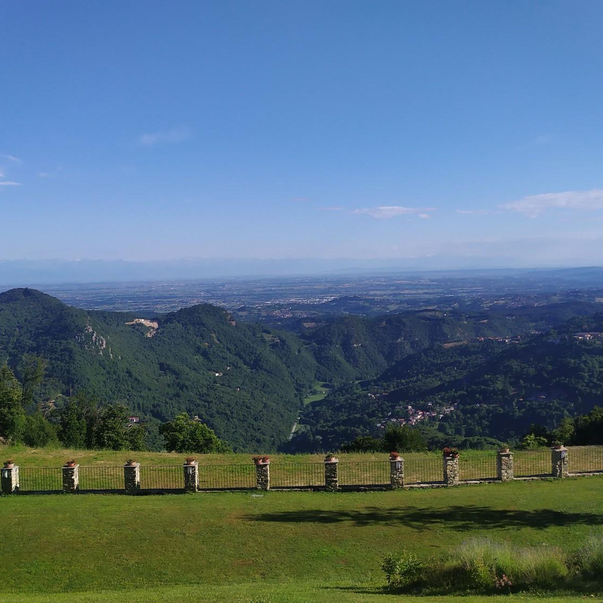
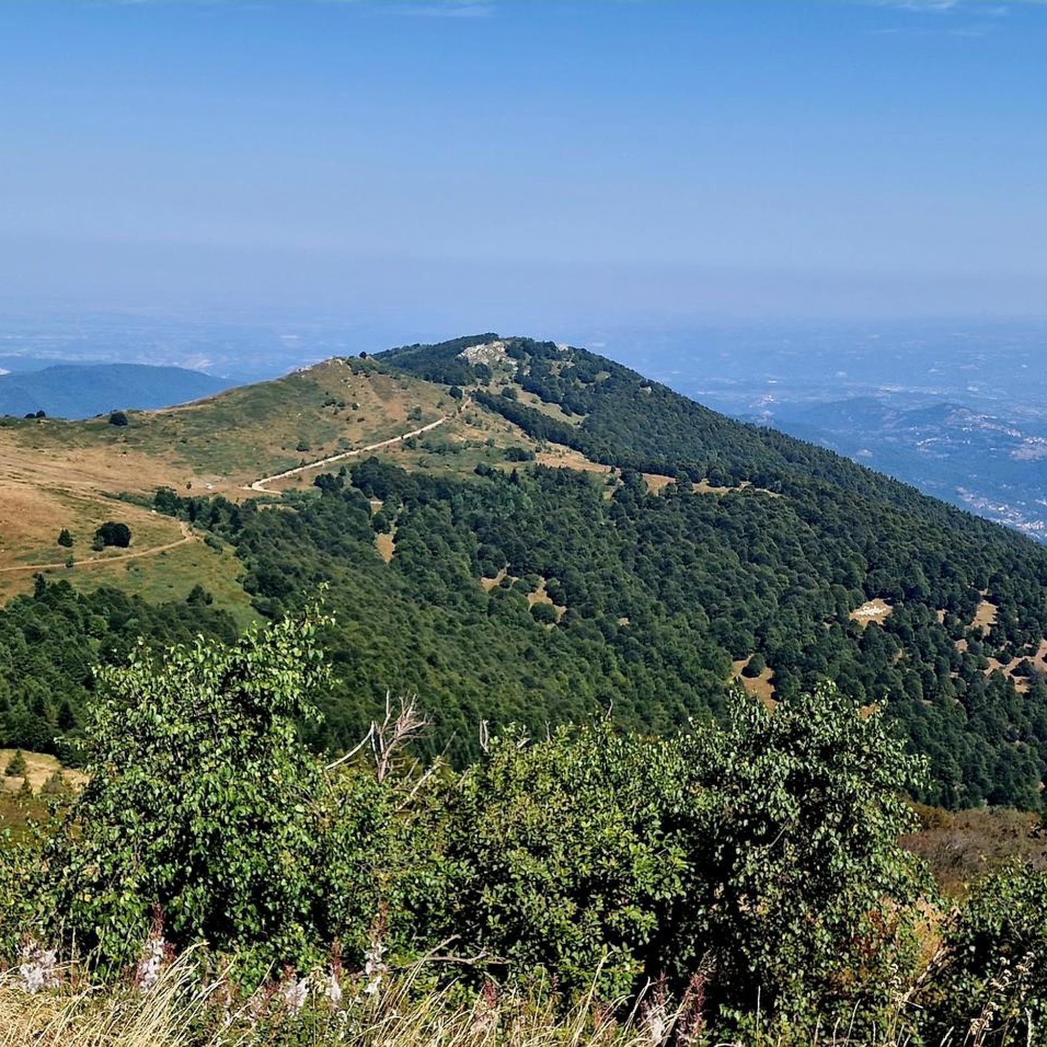
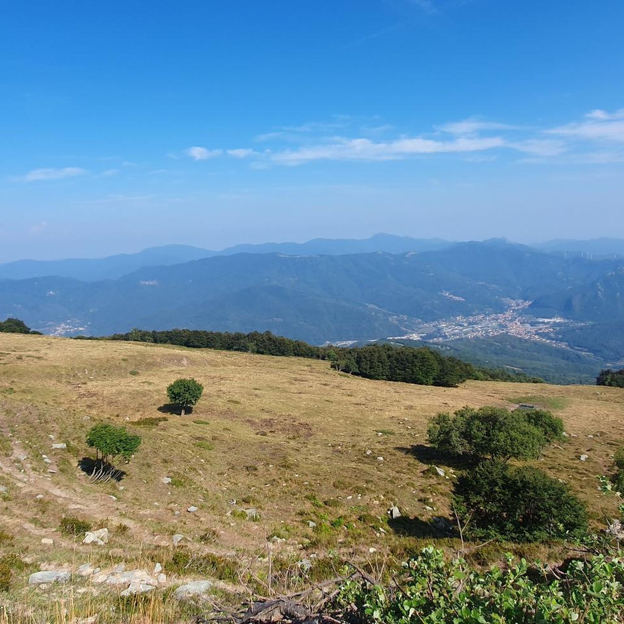
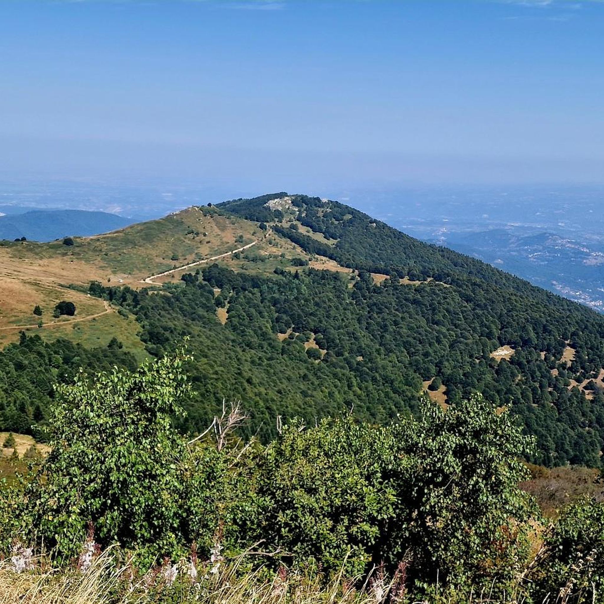
Jogging routes around Roburent offer diverse terrain within Italy's Piedmont region, situated in the Monregalese Alps. The area features extensive wooded landscapes and valleys, with elevations ranging from 580 to 1,819 meters above sea level. This natural environment provides varied running experiences, from gentler paths to more challenging uphill sections. The region is characterized by abundant greenery and natural water sources, contributing to a pleasant atmosphere for outdoor exercise.
Best jogging routes around Roburent
- The most popular jogging route is…
Last updated: October 25, 2026
32
runners
17.4km
01:58
420m
420m
Hard run. Very good fitness required. Mostly paved surfaces.
20
runners
7.76km
00:59
210m
210m
Moderate run. Good fitness required. Mostly paved surfaces.

6
runners
20.2km
02:44
800m
800m
Hard run. Very good fitness required. Sure-footedness, sturdy shoes and alpine experience required.
6
runners
11.7km
01:19
290m
290m
Moderate run. Good fitness required. Mostly paved surfaces.
5.0
(1)
7
runners
24.4km
03:12
920m
920m
Hard run. Very good fitness required. Sure-footedness, sturdy shoes and alpine experience required.
Get access to more routes and recommendations from other explorers.
Already have an account?
Our route recommendations are based on thousands of hikes, rides, and runs completed by other people on komoot.
Start today with a free account
Your next adventure awaits.
Tips from the Community

One of the few refuges where there is no mass tourism, even though you can get there by car. Secluded and cool even on the hottest days. The authenticity of the managers and the dishes offered make it a more unique than rare place! 🔝
1
0

A tough ride to get here, enjoy it for a moment: the descent is not easy either - if you are on a gravel bike without suspension
0
0

This location doesn't match the opening photo and the title. We're at the Case Sciùbi, in the Giro delle Sorgenti.
0
0

Maybe avoid passing by people's houses, Pianborgo is a private road, tired of excusing cyclists who enter the courtyard of the house, we will move on to beatings
0
0

It is a very pleasant stop on the long dirt road that connects San Giacomo to Prà (and beyond), with several possibilities in the surroundings for excursions on foot or by bike, highly recommended. At the refuge you eat well, you can relax and you can also stay overnight. Recommended.
2
0

The place is also beautiful with the view of the valley below a beautiful meadow kept wonderfully
2
0

road in the woods with almost no difference in altitude and a road that can also be practicable with gravel
1
0

Pilone di San Bernardo (1373 m), in addition to a splendid panorama over the entire Alpine range, is a crossroads of various paths. In fact, from here we can reach Vernagli, Prà, Croce Cardini and Monte Alpet with the possibility of connecting the different destinations in circular routes.
0
0
Frequently Asked Questions
How many running routes are available in the Roburent area?
The Roburent area offers a wide selection of running routes, with over 30 trails available for exploration. These routes cater to various fitness levels, ranging from easy paths to more challenging mountain trails.
What kind of terrain can I expect on the jogging routes around Roburent?
Jogging routes in Roburent feature diverse terrain, primarily characterized by extensive wooded areas and valleys within the Monregalese Alps. You'll find paths with elevations ranging from 580 to 1,819 meters, offering everything from gentler runs to more demanding uphill sections. The natural environment is rich in greenery, providing a pleasant atmosphere for outdoor exercise.
Are there running routes suitable for beginners or those looking for an easy run?
Yes, Roburent has options for all levels. While many routes offer a challenge, there are easy paths available for beginners or those seeking a more relaxed run. For example, the area features 1 easy route, 18 moderate routes, and 20 difficult routes, ensuring there's something for everyone.
What are some scenic highlights or landmarks I might encounter on a run?
The region offers picturesque mountain views and natural features. While jogging, you might pass by significant landmarks such as the Vicoforte Sanctuary or the Summit cross on Bric Mindino. The area is also known for its beneficial water sources, like the Fonti del Liset.
Are there any circular running routes in Roburent?
Yes, many routes in Roburent are designed as loops, offering a convenient way to start and finish your run in the same location. A popular option is the Running loop from Santuario di Vicoforte, a moderate 5.2-mile (8.3 km) trail.
What do other runners say about the trails in Roburent?
The running routes in Roburent are highly regarded by the komoot community, holding an average rating of 4.5 stars from 4 reviews. Over 300 runners have used komoot to explore the varied terrain, often praising the diverse landscapes and the engaging nature of the trails.
Is Roburent a good destination for trail running with higher elevation gain?
Absolutely. Roburent, situated in the Monregalese Alps, offers significant elevation changes, with terrain reaching up to 1,819 meters (5,968 ft) above sea level. This makes it an excellent location for challenging trail runs with substantial elevation gain, such as the Summit cross on Bric Mindino loop from Viola, which includes over 800 meters of ascent.
Can I find running routes that are suitable for families?
While specific 'family-friendly' designations aren't always explicit, the presence of varied terrain and easy paths suggests that families can find suitable options. Look for routes with lower elevation gain and shorter distances, which are often more manageable for all ages. The extensive network of hiking trails also provides many opportunities for relaxing walks that can double as gentle runs.
Are there any running routes that start from the San Giacomo area?
The San Giacomo Cardini area, a lively center within Roburent, is a great starting point for outdoor activities. While primarily known for winter sports, its trails and service roads are excellent for summer jogging, often providing panoramic views. You can find various routes originating from this prominent hamlet.
What is the best time of year for jogging in Roburent?
Roburent enjoys a sunny climate, making it pleasant for outdoor activities for much of the year. The summer months are particularly encouraging for exploring its thriving natural environment. However, the diverse landscape means that spring and autumn also offer beautiful conditions for running, with varied foliage and comfortable temperatures.
Are there any long-distance running options in the area?
Yes, for those seeking longer runs, Roburent offers several extensive routes. For example, the Vicoforte Sanctuary loop from Vicoforte is a difficult 27.7-mile (44.6 km) trail, providing a significant challenge for experienced runners.
Where can I find a moderate running route that's not too long?
For a moderate and enjoyable run that isn't overly long, consider the Running loop from Roatta. This 3.8-mile (6.1 km) path offers a pleasant experience through varied terrain and can typically be completed in under an hour.
Most popular attractions around Roburent

Get inspired with the komoot mobile app


Explore more
Browse the best Running Trails & Routes in other regions.
