The best MTB trails around Dorno
4.5
(173)
650
riders
63
rides
Mountain biking around Dorno is characterized by its flat, riverine landscape, primarily following the Ticino River and its floodplains. The region features a network of trails that traverse agricultural areas, small wooded sections, and riverbanks. Elevation changes are minimal, making it suitable for riders seeking less strenuous routes.
Best mountain bike trails around Dorno
- The most popular mountain bike trail is Covered Bridge (Pavia) – Trail Along the Ticino loop from Gropello Cairoli, a 42.0 miles (67.7 km) trail…
Last updated: July 1, 2026
4.4
(76)
313
riders
Hard mountain bike ride. Very good fitness required. Advanced riding skills necessary.
3.5
(4)
14
riders
56.1km
03:50
100m
100m
Moderate mountain bike ride. Good fitness required. Advanced riding skills necessary.

Sign up for free
2
riders
40.0km
02:37
100m
100m
Moderate mountain bike ride. Good fitness required. Advanced riding skills necessary.
4.5
(2)
6
riders
52.6km
03:01
90m
90m
Moderate mountain bike ride. Good fitness required. Advanced riding skills necessary.
5
riders
19.3km
01:10
40m
40m
Easy mountain bike ride. Great for any fitness level. Suitable for all skill levels.
Get access to more routes and recommendations from other explorers.
Sign up for free
Already have an account?
Our route recommendations are based on thousands of hikes, rides, and runs completed by other people on komoot.
Start today with a free account
Your next adventure awaits.
Login or Signup
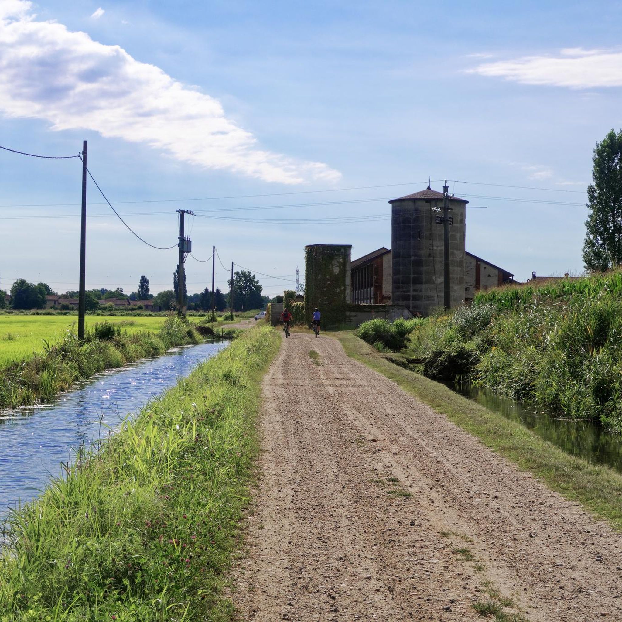
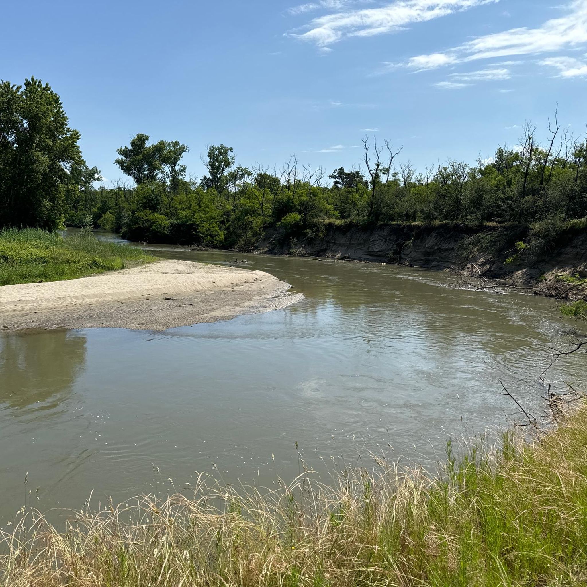
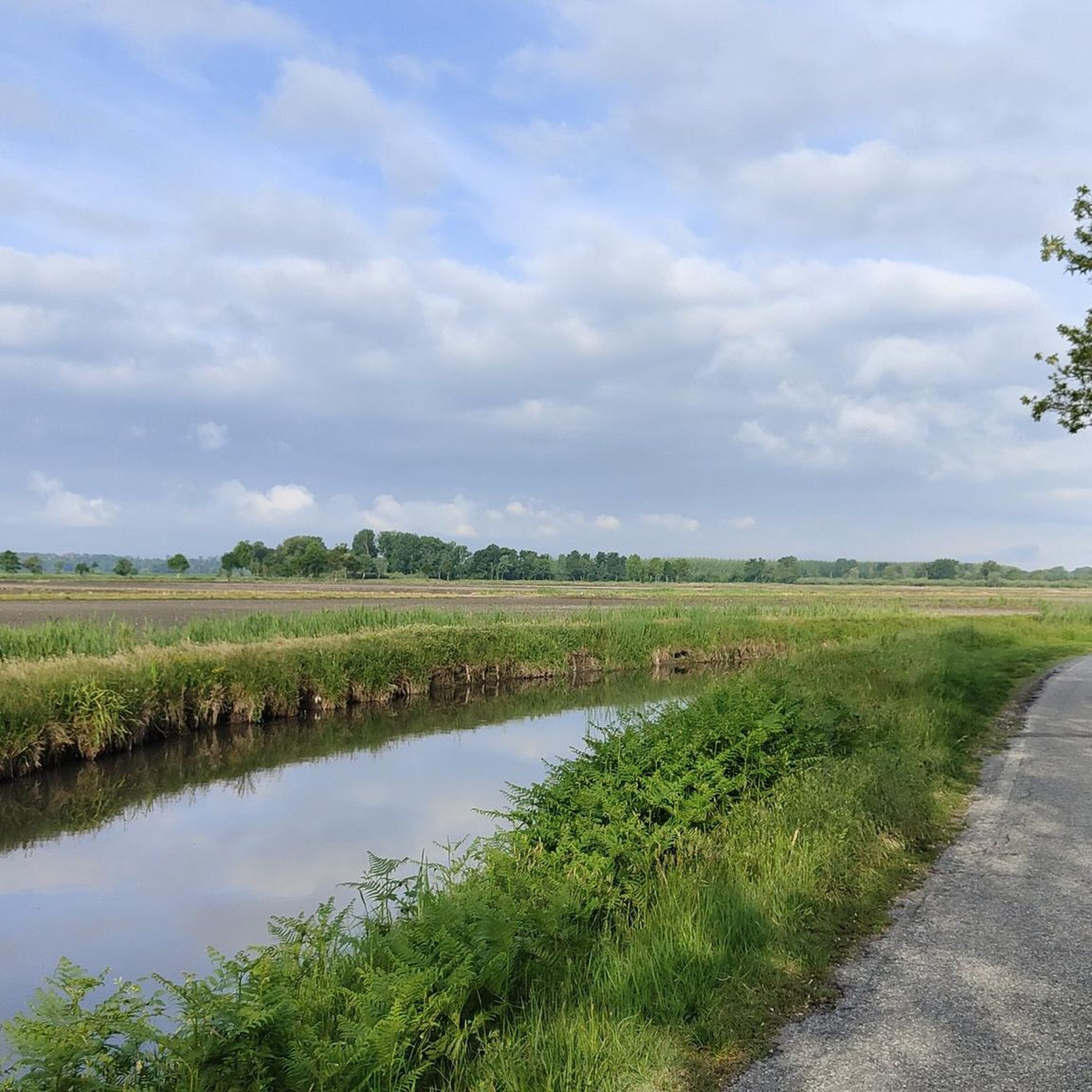
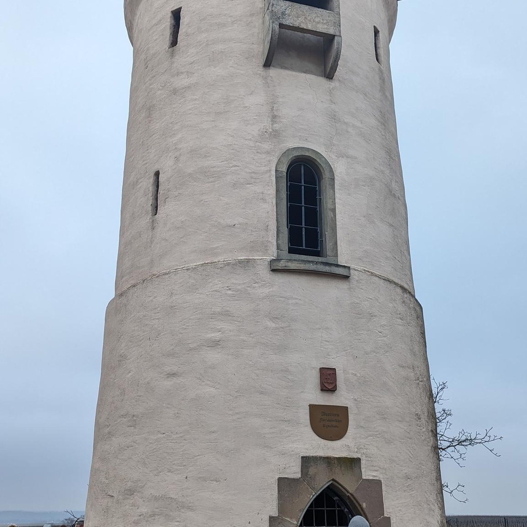
Tips from the Community

The Church of San Siro is the main place of worship in the municipality of the same name in the province of Pavia, belonging to the Diocese of Vigevano. Built between 1729 and 1732 on the remains of a 13th-century chapel, it features an elegant Greek cross plan in the late Baroque style, enriched by 18th-century canvases by the painter Carlo Antonio Bianchi from Pavia.
0
0

Beautiful, well-kept watermill with double paddle wheel, set in the middle of the town's gardens.
0
0
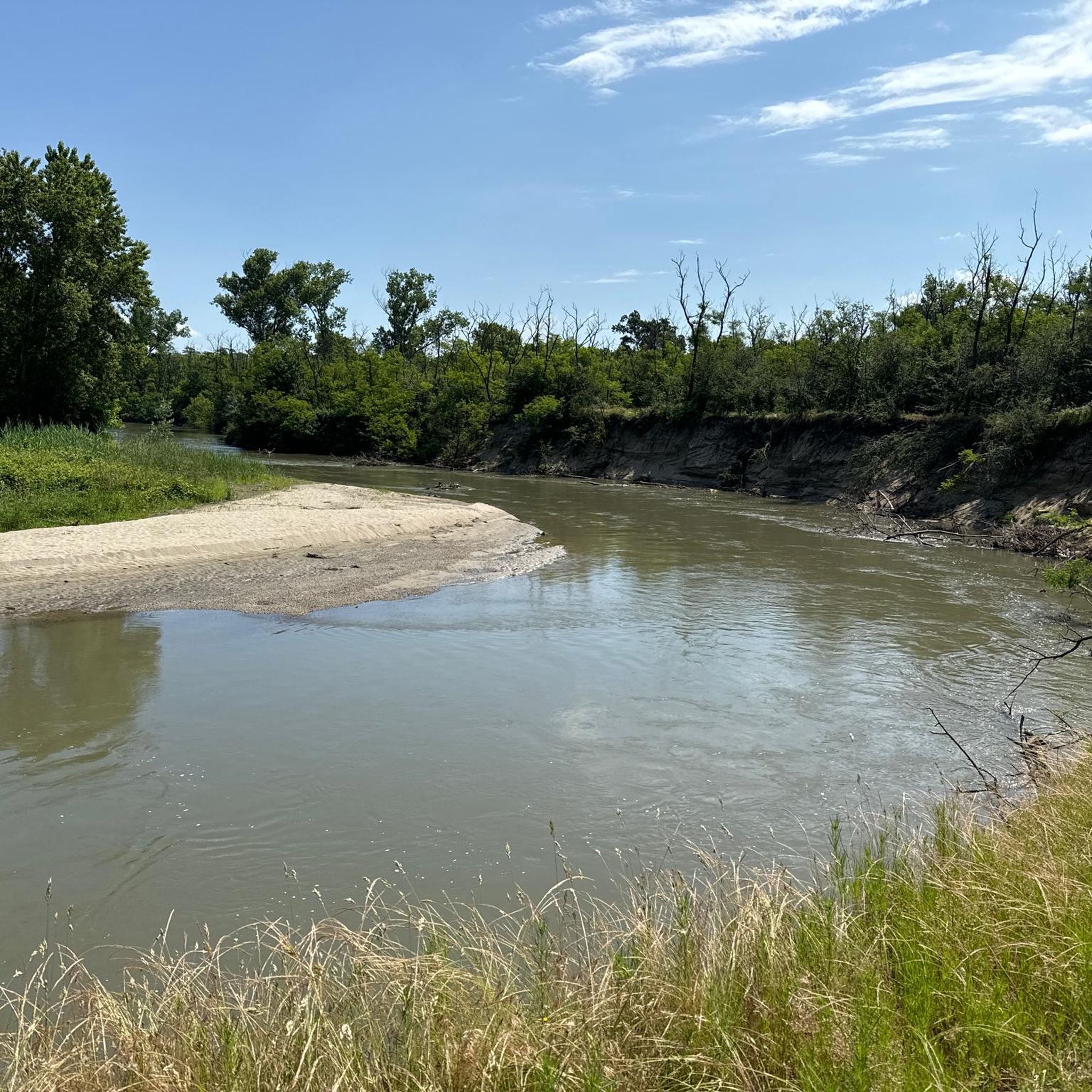
The trail runs in a very elevated position, on the edge of a plain that surrounds the outer part of a large bend of the Ticino River. The plain ends abruptly in a steep overhanging cliff caused by the erosion of the water at its base. The trail runs through greenery and flowers, in a panoramic position from which you can admire the branch from which it comes, and the one from which the water flows into the bend that flows at your feet. The large gravelly esplanades on the opposite bank inside the bend of the river are also veiled.
0
0
The crossing has been consolidated and made smoother with a series of wooden sticks that run across the road, creating a path that can be traveled on a horse. Canals, ups and downs and small bridges, alternating with rocky sections and clearings, the numerous views of the Ticino make the route very entertaining.
0
0

It would be a spectacular route but unfortunately lately, given the adverse weather, it is practically impassable along certain sections, and above all both the bridges and the fords are missing, which are now impassable. A big shame!
0
0

The very unkempt vegetation makes it impossible to identify a safe passage near the waterfall.
0
0


Zerbolò is an Italian town of 1,635 inhabitants in the province of Pavia in Lombardy. It is located in the east of Lomellina, in the alluvial valley of Ticino, not far from the right bank of the river. The city is crossed by the A7 Milan-Genoa motorway, which cuts the city in two. About ten pairs of storks stay there every year and you will find the Beccaria Castle of Zerbolò.
6
0
Frequently Asked Questions
What kind of mountain biking can I expect in Dorno?
Mountain biking in Dorno is characterized by its flat, riverine landscape, primarily following the Ticino River and its floodplains. The trails feature minimal elevation changes, making them suitable for riders seeking less strenuous routes across agricultural areas, small wooded sections, and riverbanks.
Are there mountain bike trails for beginners in Dorno?
Yes, Dorno offers a good selection of trails suitable for beginners. Out of 71 mountain bike routes, 12 are rated as easy. An excellent option for those starting out is the Bereguardo Pontoon Bridge – Houseboats on the Ticino River loop from Gropello Cairoli, which is 23.7 km long and takes about 1 hour 26 minutes to complete.
Are there any challenging mountain bike routes in Dorno for advanced riders?
While Dorno's terrain is generally flat, there is one route rated as difficult among the 71 available mountain bike trails. These routes might offer longer distances or more technical sections, though significant elevation changes are rare in the region.
What is the typical length and duration of mountain bike trails in Dorno?
The mountain bike trails in Dorno vary in length. For example, the Covered Bridge (Pavia) – Trail Along the Ticino loop from Gropello Cairoli is 67.7 km and takes approximately 4 hours 48 minutes. Shorter options like the Bereguardo Pontoon Bridge – Houseboats on the Ticino River loop from Gropello Cairoli are 23.7 km and can be completed in about 1 hour 26 minutes.
Are there any family-friendly mountain bike trails in Dorno?
Given the predominantly flat and less strenuous nature of the trails, many routes in Dorno are suitable for families. The easy-rated trails, such as the Bereguardo Pontoon Bridge – Houseboats on the Ticino River loop from Gropello Cairoli, are particularly well-suited for family outings, offering pleasant rides along the riverine landscapes.
What are some notable viewpoints or attractions along the mountain bike trails in Dorno?
Along the trails, you can discover several interesting sights. Consider visiting the Wooden Bridge over the Ticino or the Sanctuary of Madonna della Bozzola. For natural beauty, look out for the View of the bend in the Ticino River or the Casottole Viewpoint on the Ticino River.
Are there mountain bike trails that form a loop in Dorno?
Yes, many of the mountain bike trails in Dorno are designed as loops, offering convenient starting and ending points. Examples include the popular Covered Bridge (Pavia) – Trail Along the Ticino loop from Gropello Cairoli and the Lido di Pavia – Covered Bridge (Pavia) loop from Gropello Cairoli.
What do other mountain bikers say about the trails in Dorno?
The mountain bike trails in Dorno are highly regarded by the komoot community, with an average rating of 4.4 stars from over 180 reviews. Riders often praise the peaceful riverine landscapes, the well-maintained paths, and the accessibility of the routes for various skill levels.
What is the best time of year for mountain biking in Dorno?
Given the flat terrain and riverine environment, mountain biking in Dorno is enjoyable for much of the year. Spring and autumn offer pleasant temperatures and vibrant scenery. Summer can be warm, but the proximity to the Ticino River may provide some relief. Winter riding is possible, though conditions might be cooler and some paths could be damp.
Are there any cafes or places to stop for refreshments near the mountain bike trails?
While specific cafes directly on every trail are not listed, the routes often pass through or near small towns and villages where you can find local establishments for refreshments. Exploring the areas around Gropello Cairoli or Pavia, which are connected by some of the trails, will offer more options.
How can I access the mountain bike trails in Dorno?
Many trails in Dorno are accessible from various points, particularly around Gropello Cairoli, which serves as a common starting point for several popular routes. The flat nature of the region means access points are generally straightforward, often near agricultural roads or riverbanks.
Is there public transport available to reach the mountain biking areas in Dorno?
Public transport options to Dorno and its surrounding areas are available, typically involving bus services connecting from larger towns like Pavia. It's advisable to check local bus schedules and routes in advance to plan your journey to the trail access points.
Most popular attractions around Dorno

Get inspired with the komoot mobile app


Explore more
Browse the best MTB trails in other regions.
