The best running trails around Cerro Maggiore
4.4
(201)
10,852
runners
586
runs
Jogging routes around Cerro Maggiore are characterized by the rolling hills and fertile plains typical of the Po Valley, offering a mix of green spaces and accessible paths. The region maintains significant green areas and gardens, providing varied terrain for runners. The presence of the Villoresi canal offers dedicated routes, and Cerro Maggiore's location provides convenient access to larger natural landscapes within the Lombardy region.
Best jogging routes around Cerro Maggiore
- The most popular jogging route is Legnano Castle – Visconti Castle, Legnano loop from Legnano, a 3.3 miles (5.4 km) trail that takes about 34 minutes to complete. This moderate route offers views of historical landmarks.
- Another top favourite among local runners is Running loop from Legnano, a moderate 5.0 miles (8.1 km) path. This route explores the local surroundings and can be completed in about 50 minutes.
- Local runners also love the Cycle path along the Villoresi canal – Villoresi Canal in Parabiago loop from Parabiago, a 6.5 miles (10.4 km) trail leading through the scenic Villoresi canal area, often completed in about 1 hour 5 minutes.
- Jogging around Cerro Maggiore is defined by rolling hills, fertile plains, and accessible green areas, including dedicated paths along the Villoresi canal. The network offers options for easy, moderate, and more challenging running experiences.
- The routes in Cerro Maggiore are highly rated by the komoot community with an average score of 4.4 stars from over 200 reviews. More than 9,000 runners have used komoot to explore Cerro Maggiore's varied terrain.
Last updated: June 29, 2026
32
runners
Moderate run. Good fitness required. Mostly paved surfaces. Suitable for all skill levels.
4.0
(2)
24
runners
11.1km
01:10
30m
30m
Moderate run. Good fitness required. Mostly paved surfaces. Suitable for all skill levels.

Sign up for free
4.0
(4)
17
runners
10.9km
01:08
30m
30m
Moderate run. Good fitness required. Mostly paved surfaces. Suitable for all skill levels.
20
runners
17.6km
01:51
40m
40m
Hard run. Very good fitness required. Mostly paved surfaces. Suitable for all skill levels.
17
runners
12.7km
01:19
40m
40m
Moderate run. Good fitness required. Mostly paved surfaces. Suitable for all skill levels.
Get access to more routes and recommendations from other explorers.
Sign up for free
Already have an account?
Our route recommendations are based on thousands of hikes, rides, and runs completed by other people on komoot.
Start today with a free account
Your next adventure awaits.
Login or Signup
Tips from the Community

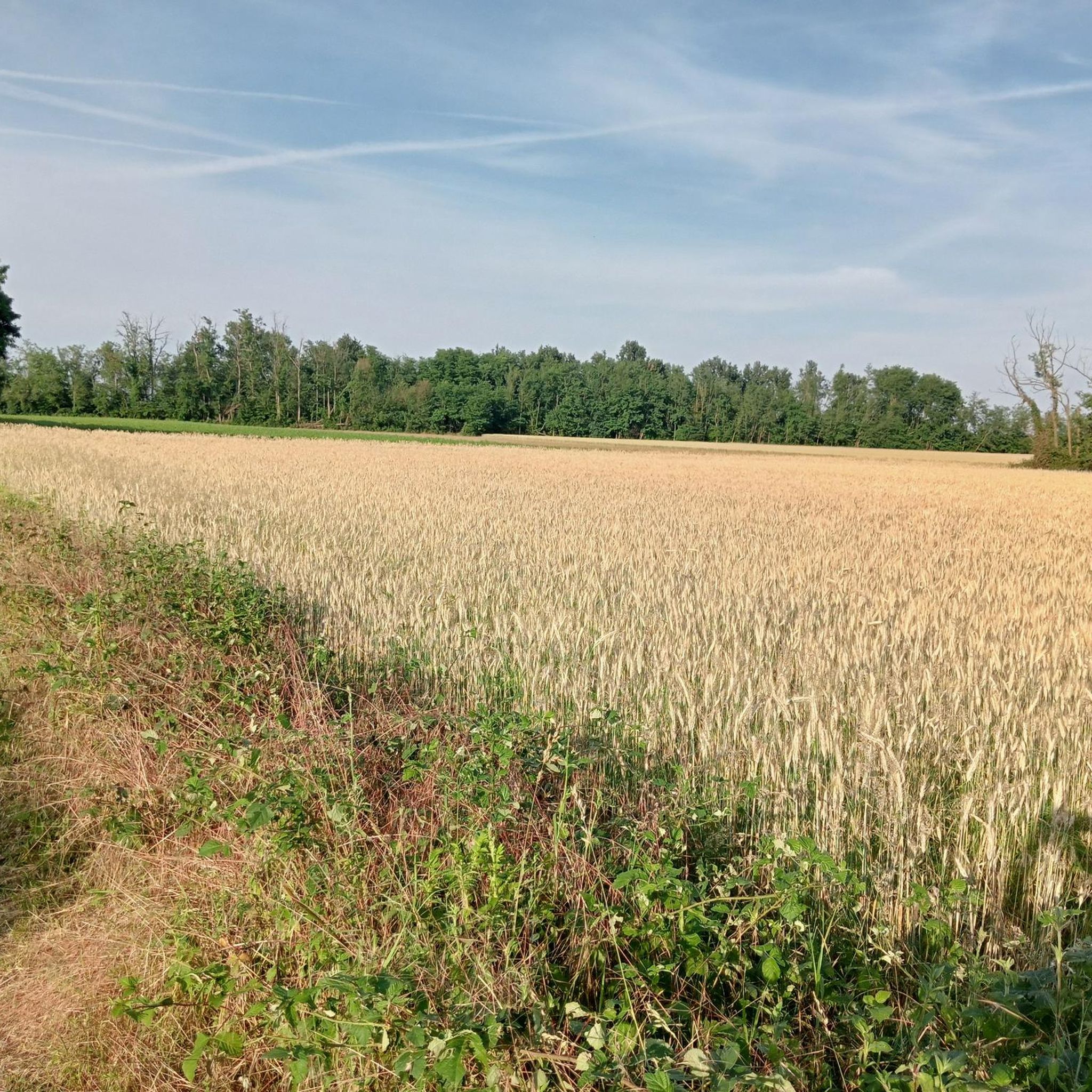
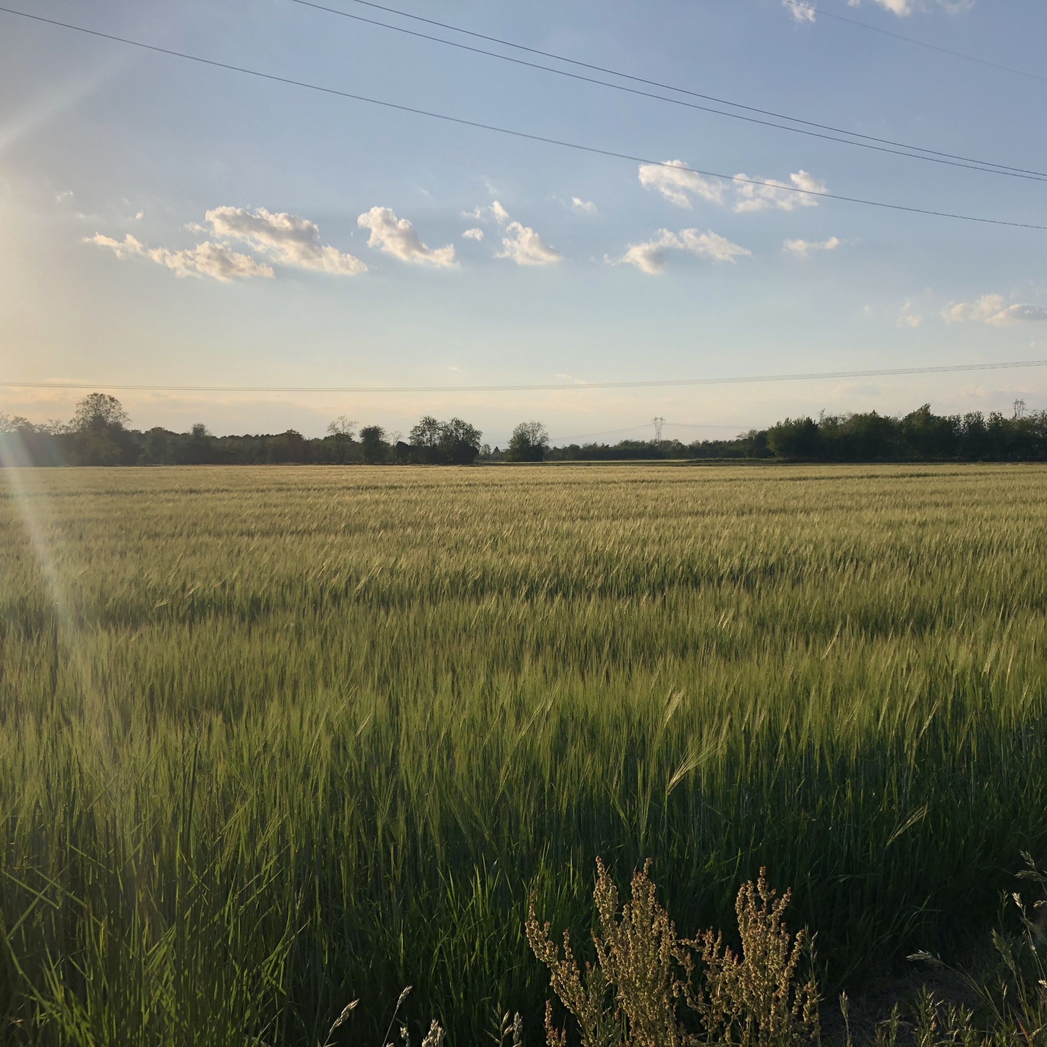
Beautiful 🌈 to ride on the Cycle 🚴 Pedestrian 🚶
1
0

The long Olona River from Varese to Milan
1
0

The Olona Greenway is an unpaved cycle and pedestrian path of about 10 km that runs along the Olona river between Legnano and Nerviano (MI), crossing the Alto Milanese area. It offers a natural and agricultural landscape, away from traffic, passing through old mills, the "La Foppa" wetland in San Vittore Olona, and local farms. The path represents a "safety corridor" that connects green areas, offering a slow experience in contact with nature among the municipalities of the Alto Milanese area.
0
0
Canale Villoresi🌊excellent for bikes 🚴and pedestrians🚶
0
0

The Olona floodplains are finally finished. A beautiful stretch of compact gravel.
0
0

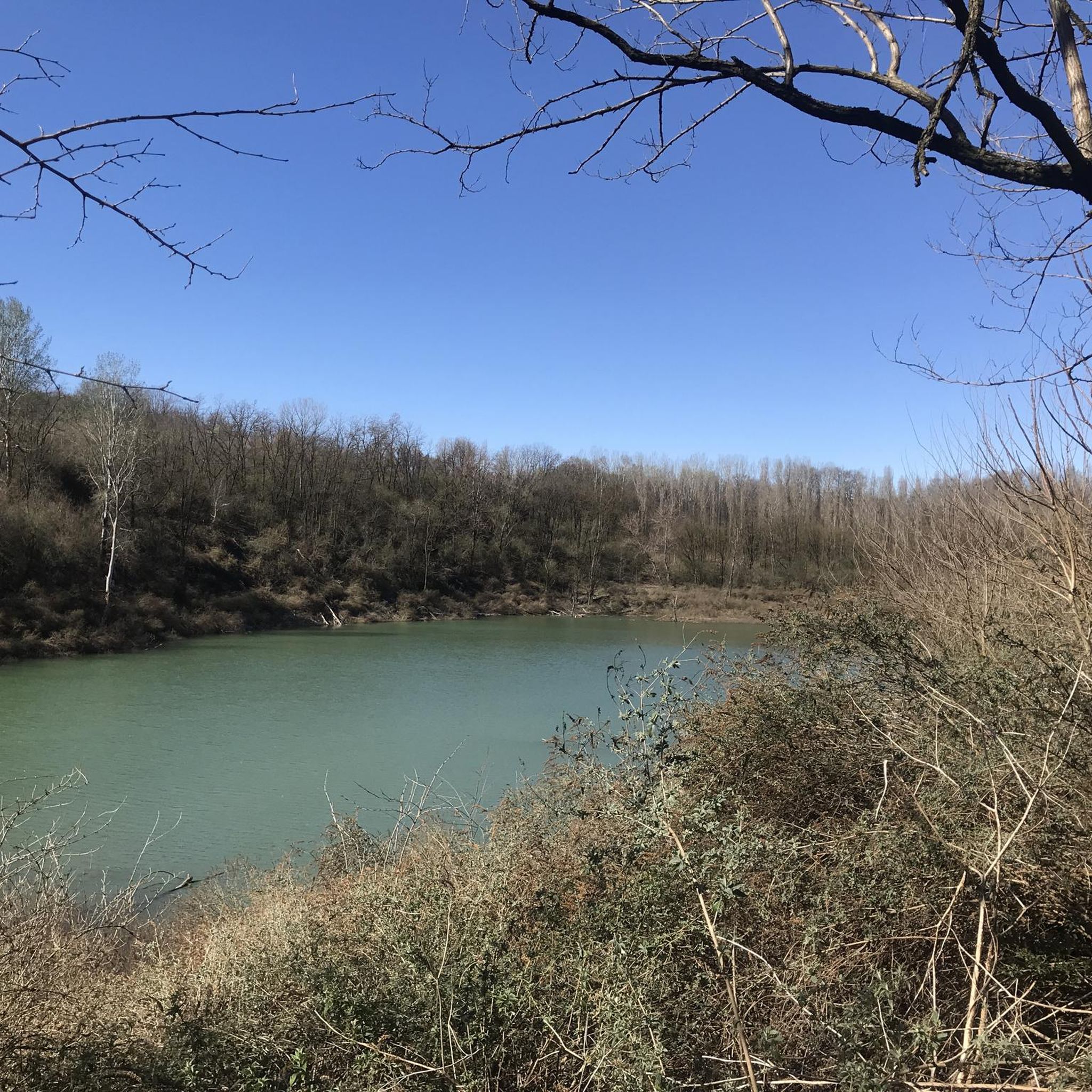
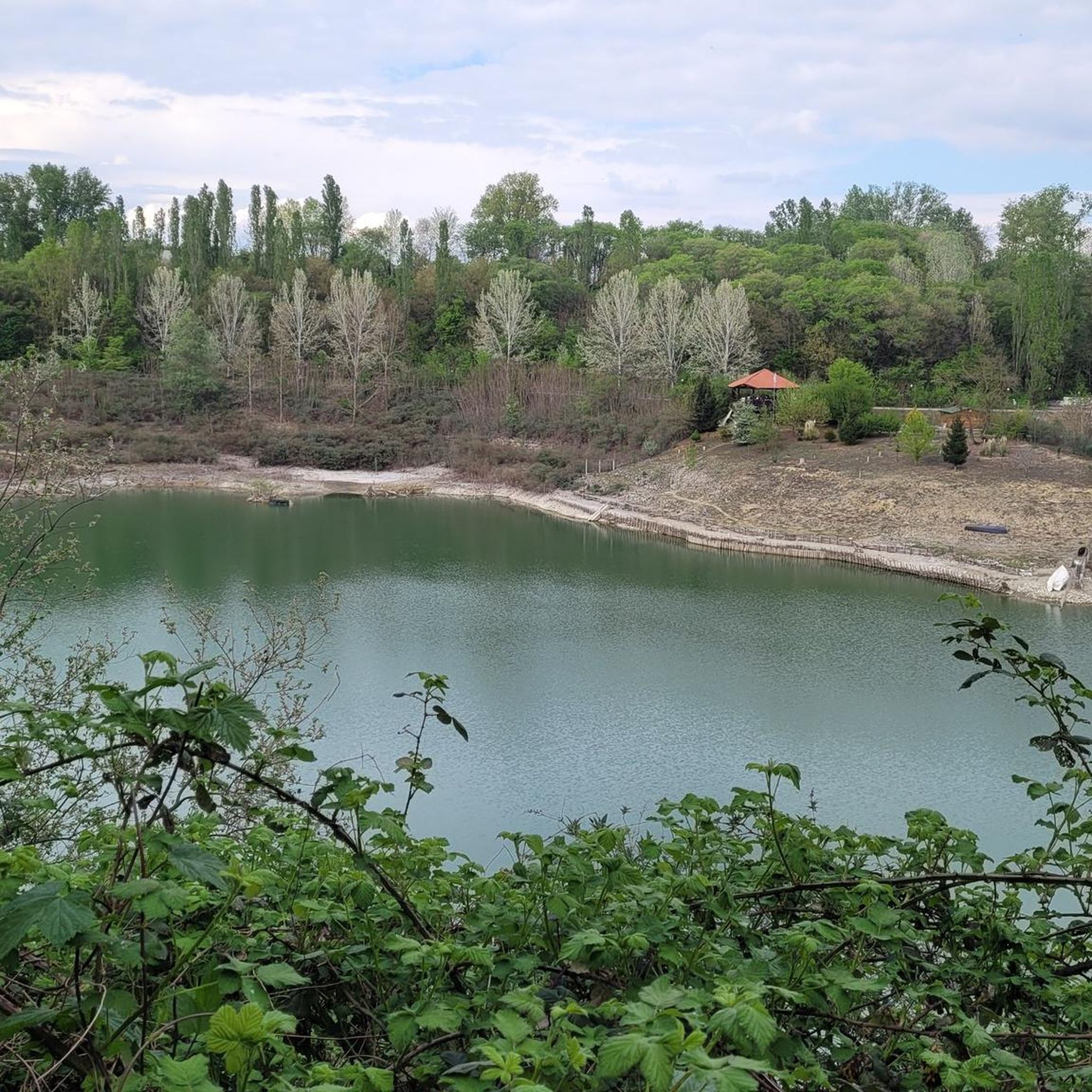
Artificial lake inhabited by numerous animal species
0
0

The Olona GreenWay has been repaired following the work on the retention basin.
1
0

Lgnano Castle, the starting point of the Olona Greenway.
2
0
Frequently Asked Questions
How many running routes are available around Cerro Maggiore, and what are their difficulty levels?
Cerro Maggiore offers a wide selection of over 500 running routes. The majority, about 400, are considered moderate, providing a good balance for most runners. There are also around 30 easy routes for beginners or those seeking a relaxed run, and about 65 more challenging trails for experienced runners.
What kind of terrain can I expect on the running trails in Cerro Maggiore?
The running trails in Cerro Maggiore are characterized by the rolling hills and fertile plains typical of the Po Valley. You'll find a mix of green spaces, gardens, and accessible paths, including dedicated routes along the Villoresi Canal. This varied landscape ensures a diverse running experience, from flat stretches to gentle inclines.
Are there any scenic running routes or points of interest to explore while jogging?
Absolutely! Many routes offer scenic views and pass by interesting landmarks. For instance, the Legnano Castle – Visconti Castle, Legnano loop from Legnano provides views of historical castles. You can also explore highlights like the Villoresi Canal Cycle Path or the Groane Trail, which offer pleasant natural surroundings.
Are there any family-friendly running paths suitable for all ages?
Yes, Cerro Maggiore has several routes that are suitable for families. The area's accessible paths and green spaces, such as those found in the 10,000-square-meter park of Villa Water, provide a pleasant and safe environment for family runs. Look for routes marked as 'easy' on komoot for the most family-friendly options.
Can I bring my dog on the running trails in Cerro Maggiore?
Many of the natural trails and green spaces around Cerro Maggiore are dog-friendly, making it a great place to run with your canine companion. It's always a good idea to keep your dog on a leash and ensure you clean up after them to maintain the cleanliness and enjoyment of the paths for everyone.
What do other runners enjoy most about the trails in Cerro Maggiore?
The running routes in Cerro Maggiore are highly rated by the komoot community, with an average score of 4.4 stars from over 200 reviews. Runners often praise the varied terrain, the accessibility of the paths, and the pleasant green surroundings. The presence of dedicated routes like the Villoresi Canal path is also frequently highlighted as a positive aspect.
Are there any circular running routes available?
Yes, many of the running routes in Cerro Maggiore are designed as loops, allowing you to start and finish in the same location. An example is the Cycle path along the Villoresi canal – Villoresi Canal in Parabiago loop from Parabiago, which offers a scenic circular run.
Is there public transport access to the running trails?
Cerro Maggiore's location within the Metropolitan City of Milan means it has good regional connectivity. While specific public transport stops directly at trailheads may vary, the town itself is accessible, and many routes start from central points or areas with bus connections. Checking local transport schedules is recommended for specific starting points.
Where can I find parking when visiting the running routes?
Parking availability can vary depending on the specific trailhead. In general, towns like Cerro Maggiore and nearby Legnano or Parabiago offer public parking options. For routes starting in more urbanized areas, street parking or designated lots might be available. For routes in natural parks, look for specific parking areas indicated on maps or route descriptions.
What is the best season for running in Cerro Maggiore?
The Lombardy region generally offers pleasant running conditions during spring and autumn, with milder temperatures and beautiful natural scenery. Summer can be warm, especially in the Po Valley, so early morning or late evening runs are often preferred. Winter runs are also possible, though some paths might be affected by weather conditions.
Are there any running routes that follow the Villoresi Canal?
Yes, the cycle path along the Villoresi Canal is a notable feature for runners in the area. The Cycle path along the Villoresi canal – Villoresi Canal in Parabiago loop from Parabiago is a popular route that utilizes this scenic waterway, offering a relatively flat and dedicated path for running.
Beyond Cerro Maggiore, what larger natural areas are accessible for more extensive running adventures?
Cerro Maggiore's location provides convenient access to several larger natural landscapes. The wider Lombardy region is home to significant parks like the Val Grande National Park, Ticino Park, and Alpe Veglia and Devero Regional Park. Additionally, the stunning Lake Maggiore area offers extensive opportunities for trail running with breathtaking views. For more information on these areas, you can visit Lake Maggiore's nature and gardens page.
Most popular routes around Cerro Maggiore
Most popular attractions around Cerro Maggiore

Get inspired with the komoot mobile app


Explore more
Browse the best Running Trails & Routes in other regions.
